Current Albert Marsh GeoPDF Map
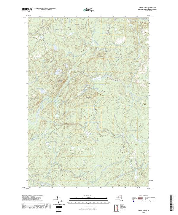 |
1970 Map No. 136560 |
Grass River Wild Forest, Taylor Creek State Forest |
Clare (20%), Colton (11%), Pierrepont (11%) |
Current Augerhole Falls GeoPDF Map
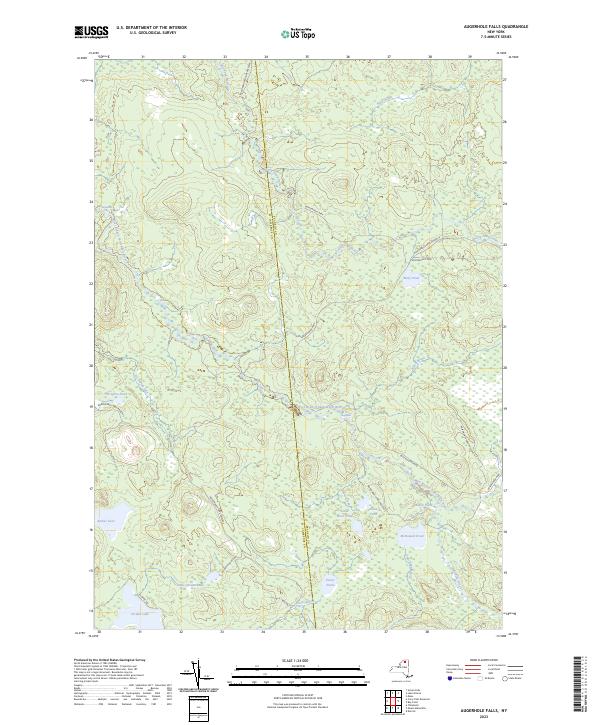 |
1970 Map No. 136744 |
Raquette-Jordan Boreal Primitive Area |
Hopkinton (13%), Tupper Lake (2%), Waverly (20%) |
Current Bigelow GeoPDF Map
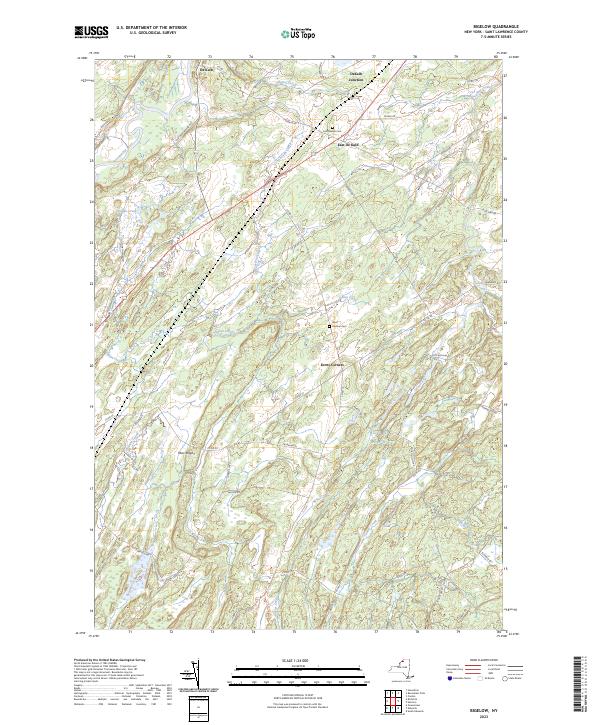 |
1956 Map No. 123289, 1956 Map No. 137106 |
Wolf Lake State Forest, Fire-Fall State Forest |
De Kalb (33%), Hermon (48%) |
Current Brasher Falls GeoPDF Map
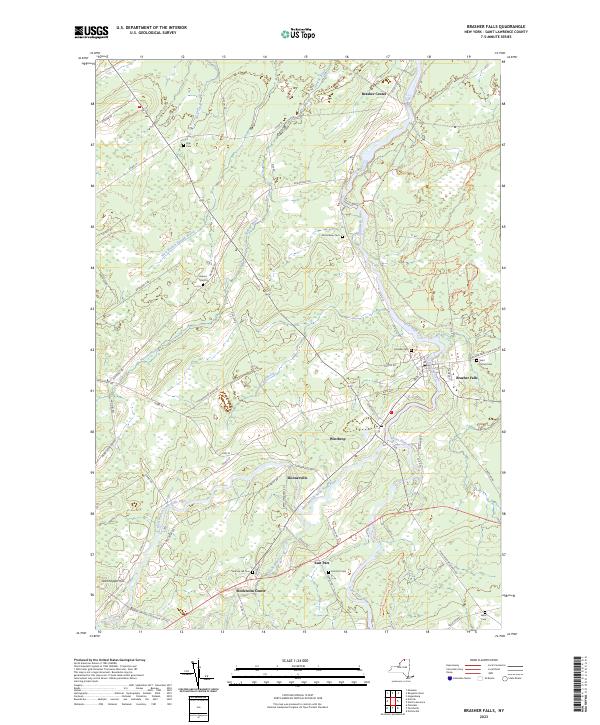 |
1946 Map No. 122986, 1964 Map No. 122987, 1964 Map No. 122988 |
Brasher State Forest, Buckton State Forest, Knapp Station State Forest, Lost Nation State Forest |
Brasher (19%), Lawrence (4%), Norfolk (7%), Stockholm (31%) |
Current Brother Ponds GeoPDF Map
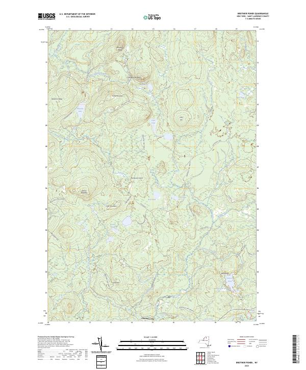 |
1970 Map No. 123133 |
Unclassified, Cranberry Lake Wild Forest, Grass River Wild Forest |
Clifton (13%), Colton (13%) |
Current Brushton GeoPDF Map
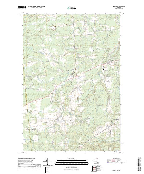 |
1964 Map No. 123031, 1964 Map No. 123032 |
Deer River State Forest, Bombay State Forest |
Brasher (0%), Dickinson (26%), Lawrence (3%), Moira (89%) |
Current Canton GeoPDF Map
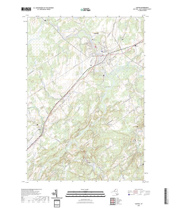 |
1964 Map No. 122793, 1964 Map No. 122794 |
Upper And Lower Lakes WMA |
Canton (48%), De Kalb (0%), Russell (2%) |
Current Carry Falls Reservoir GeoPDF Map
 |
NA |
Raquette River Wild Forest, Raquette-Jordan Boreal Primitive Area, White Hill Wild Forest |
Colton (6%), Hopkinton (17%), Parishville (6%) |
Current Chase Mills GeoPDF Map
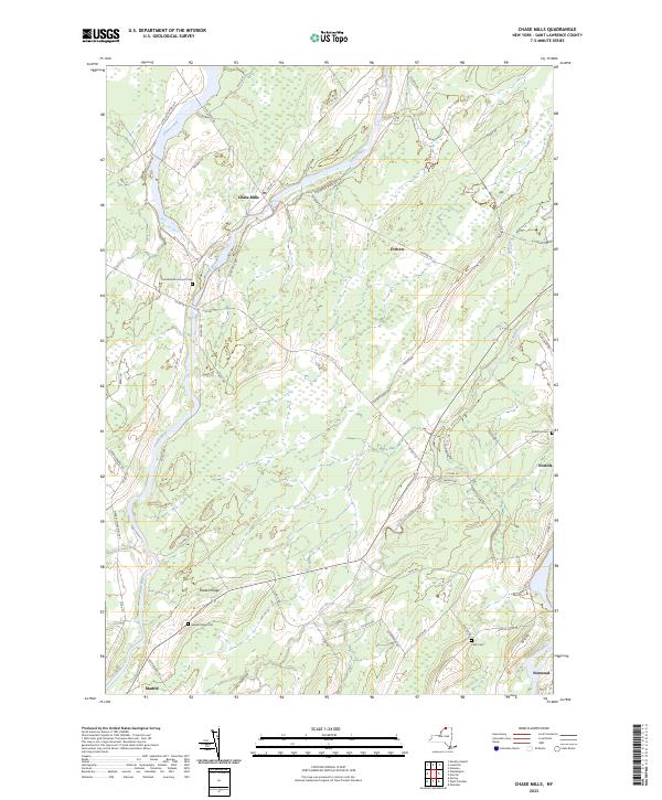 |
1942 Map No. 122917, 1964 Map No. 122920 |
Sodom State Forest |
Louisville (16%), Madrid (44%), Norfolk (16%), Potsdam (4%), Waddington (10%) |
Current Childwold GeoPDF Map
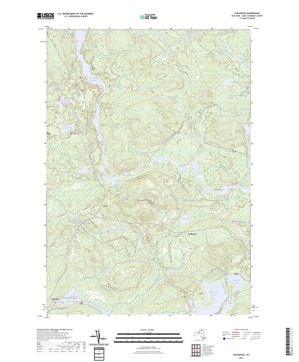 |
1968 Map No. 122976 |
Cranberry Lake Wild Forest, Grass River Wild Forest, Raquette River Wild Forest, Raquette-Jordan Boreal Primitive Area |
Colton (12%), Hopkinton (3%), Piercefield (15%) |
Current Chippewa Bay GeoPDF Map
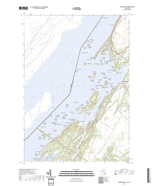 |
1948 Map No. 122977, 1948 Map No. 122978, 1958 Map No. 122980, 1958 Map No. 122981, 1958 Map No. 122982 |
NA |
Alexandria (6%), Hammond (38%) |
Current Colton GeoPDF Map
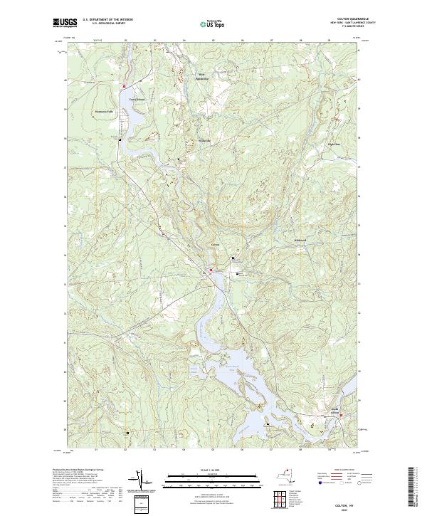 |
1943 Map No. 137685, 1964 Map No. 137688, 1964 Map No. 137689 |
High Flats State Forest, West Parishville State Forest |
Colton (7%), Parishville (15%), Pierrepont (30%), Potsdam (1%) |
Current Cranberry Lake GeoPDF Map
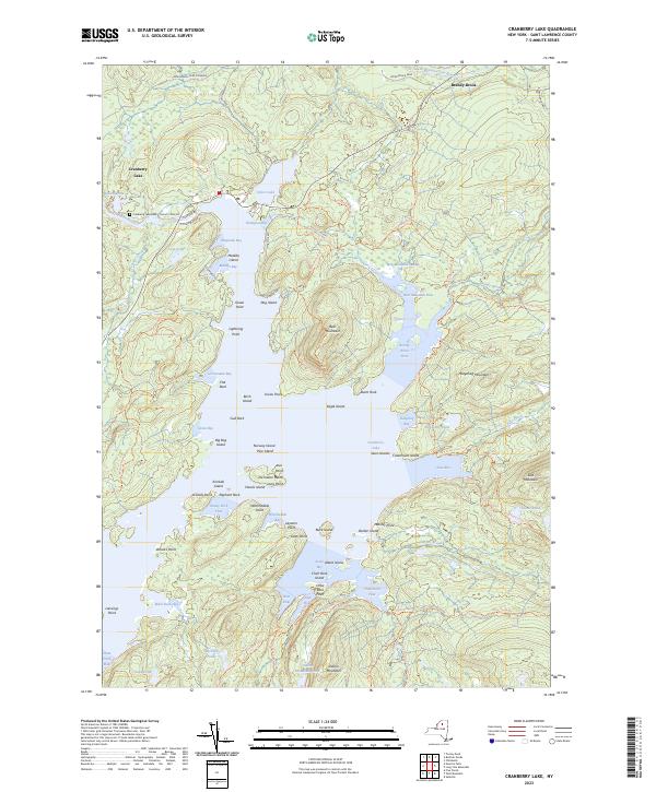 |
1968 Map No. 137741, 1968 Map No. 137742, 1999 Map No. 137195 |
Unclassified, Cranberry Lake Wild Forest, Five Ponds Wilderness, Grass River Wild Forest, Cranberry Lake Boat Launch, Cranberry Lake Campground |
Clifton (25%), Colton (6%) |
Current Degrasse GeoPDF Map
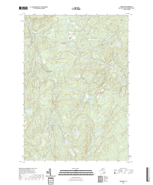 |
1969 Map No. 137974, 1969 Map No. 137975, 1969 Map No. 137976 |
Grass River Wild Forest, Degrasse State Forest, Orebed Creek State Forest, Silver Hill State Forest |
Clare (25%), Clifton (1%), Fine (8%), Russell (15%) |
Current Edwards GeoPDF Map
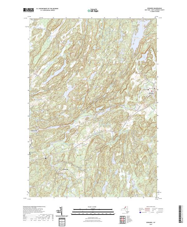 |
1956 Map No. 138048, 1956 Map No. 138050 |
Trout Lake State Forest, Wolf Lake State Forest, Fire-Fall State Forest |
Edwards (54%), Fowler (21%), Gouverneur (0%), Hermon (23%) |
Current Edwardsville GeoPDF Map
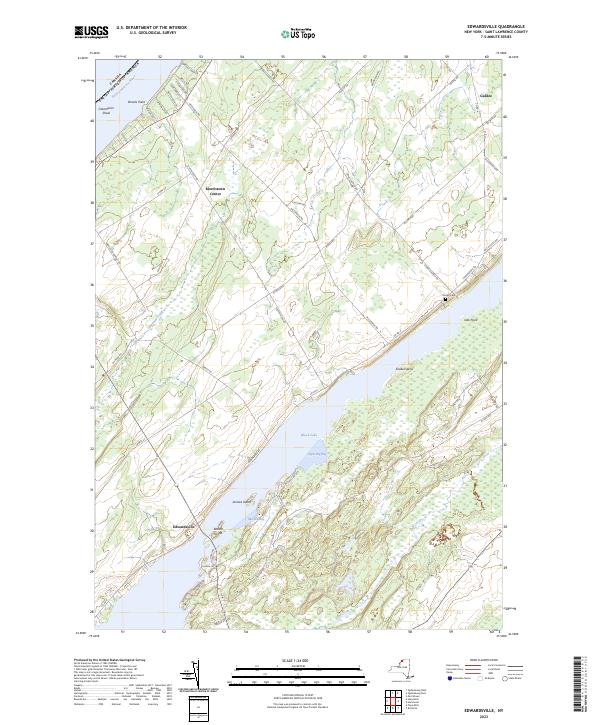 |
1963 Map No. 137352, 1963 Map No. 138047 |
De Peyster FP Detached Parcel, Fish Creek WMA |
De Peyster (13%), Macomb (15%), Morristown (34%), Oswegatchie (24%) |
Current Fine GeoPDF Map
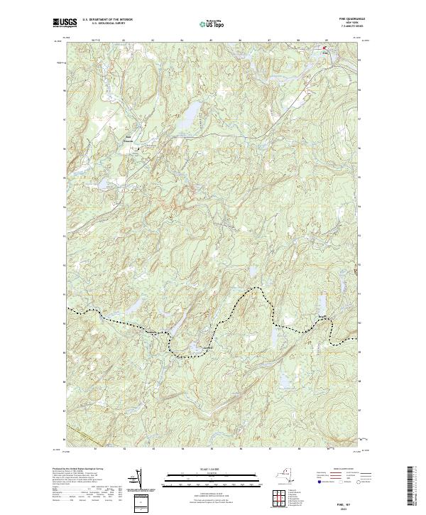 |
1966 Map No. 138147, 1966 Map No. 138148, 1966 Map No. 138149 |
Cold Spring Brook State Forest, Grass River Wild Forest, Aldrich Pond Wild Forest, Sucker Lake Water Access, Greenwood Creek State Forest |
Diana (0%), Edwards (2%), Fine (18%), Pitcairn (38%) |
Current Five Ponds GeoPDF Map
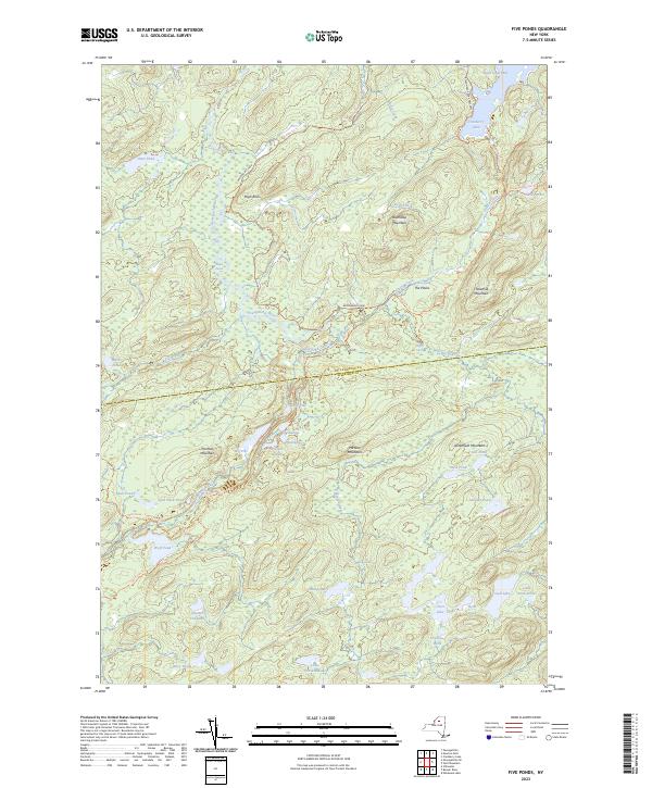 |
1969 Map No. 138155, 1969 Map No. 138156, 1999 Map No. 137329 |
Cranberry Lake Wild Forest, Buck Pond Primitive Area, Five Ponds Wilderness, Wanakena Primitive Area |
Clifton (2%), Fine (14%), Webb (6%) |
Current Gouverneur GeoPDF Map
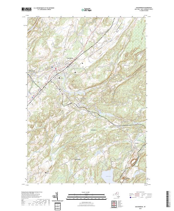 |
1956 Map No. 129586, 1956 Map No. 129587, 1982 Map No. 129588 |
Gouverneur FP Detached Parcel |
Fowler (52%), Gouverneur (29%), Hermon (2%) |
Current Hammond GeoPDF Map
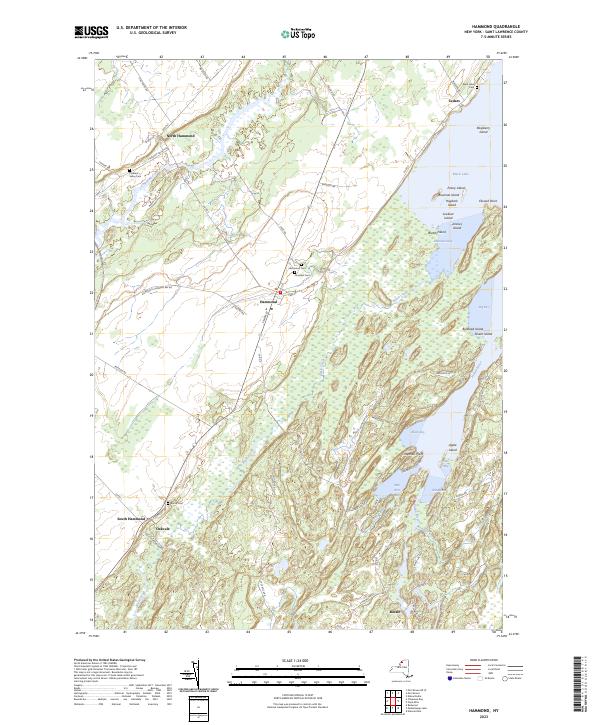 |
1951 Map No. 129700, 1951 Map No. 129701, 1961 Map No. 129702, 1961 Map No. 129703 |
South Hammond State Forest, Lonesome Bay State Forest, Black Lake Waterway Access |
Hammond (50%), Macomb (5%), Morristown (12%), Rossie (11%) |
Current Harrisville GeoPDF Map
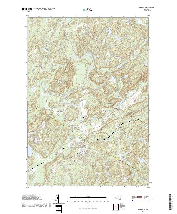 |
1951 Map No. 129808, 1951 Map No. 129809, 1951 Map No. 129810, 1951 Map No. 137245 |
Diana FP Detached Parcel, Pitcairn FP Detached Parcel, St. Lawrence FP Detached Parcel, Cold Spring Brook State Forest, Toothaker Creek State Forest, Aldrich Pond Wild Forest, Frank E. Jadwin Memorial State Forest, Bonaparte’s Cave State Forest, California Road State Forest |
Diana (10%), Edwards (6%), Fine (0%), Fowler (4%), Pitcairn (56%) |
Current Hermon GeoPDF Map
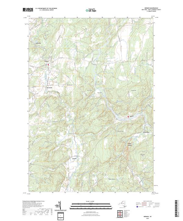 |
1966 Map No. 129910, 1966 Map No. 137248 |
Whippoorwill Corners State Forest |
Canton (3%), De Kalb (1%), Hermon (23%), Russell (38%) |
Current Heuvelton GeoPDF Map
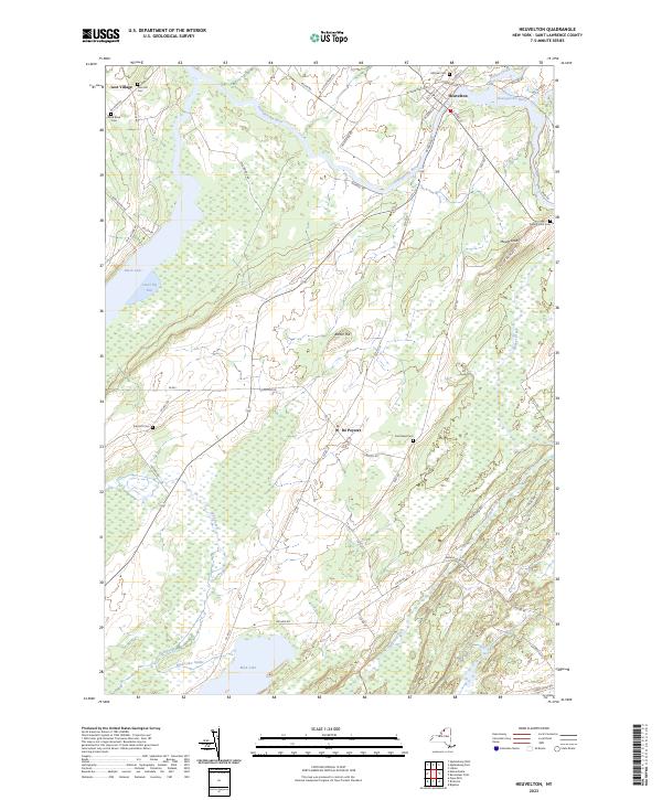 |
1963 Map No. 129911, 1963 Map No. 129912 |
Beaver Creek State Forest, Fish Creek WMA |
De Kalb (7%), De Peyster (81%), Macomb (0%), Oswegatchie (15%) |
Current Hogansburg GeoPDF Map
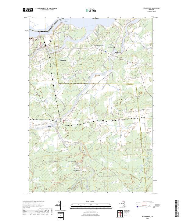 |
1964 Map No. 129877, 1964 Map No. 129878, 1964 Map No. 137253 |
Bombay State Forest, Brasher State Forest |
Bombay (17%), Brasher (32%), Massena (7%), Moira (0%), St. Regis Mohawk Reservation (61%) |
Current Lake Bonaparte GeoPDF Map
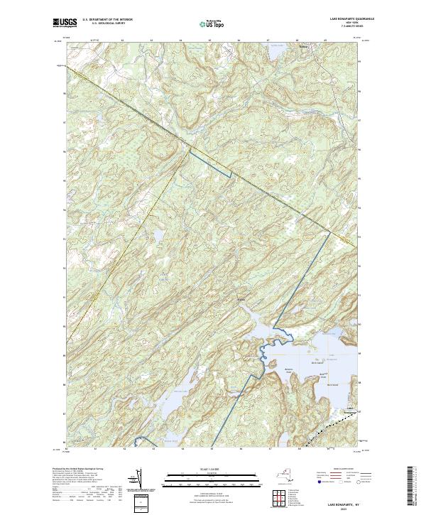 |
1951 Map No. 130158, 1951 Map No. 130159, 1951 Map No. 130160, 1951 Map No. 137301, 1951 Map No. 137302 |
St. Lawrence FP Detached Parcel, Sand Bay State Forest, Bonaparte’s Cave State Forest, California Road State Forest |
Antwerp (7%), Diana (21%), Fowler (19%), Pitcairn (6%) |
Current Lake Ozonia GeoPDF Map
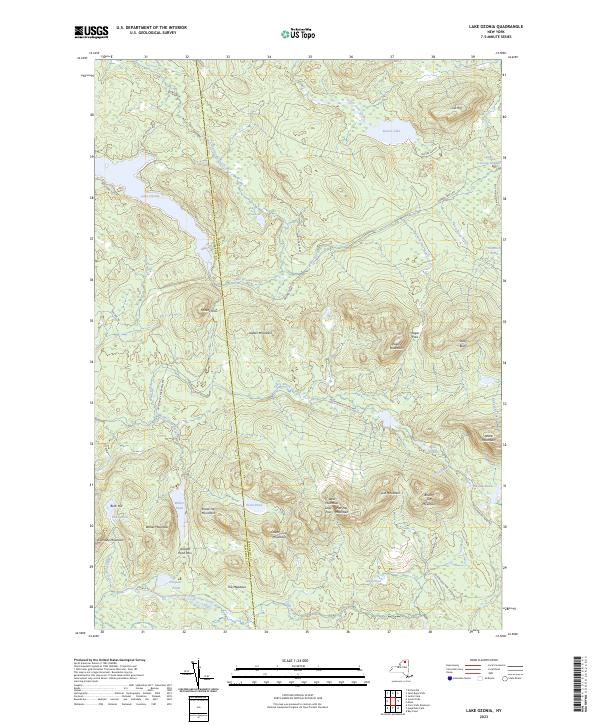 |
1964 Map No. 130178, 1964 Map No. 130179 |
Debar Mountain Wild Forest, Lake Ozonia Fishing Access Site |
Hopkinton (9%), Waverly (29%) |
Current Lisbon GeoPDF Map
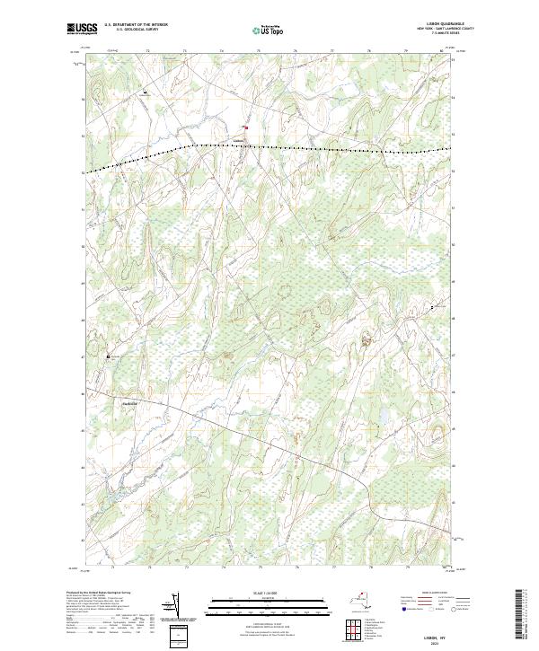 |
1963 Map No. 130271, 1963 Map No. 130272 |
Lisbon FP Detached Parcel, Upper And Lower Lakes WMA |
Canton (1%), Lisbon (45%), Oswegatchie (0%) |
Current Little Tupper Lake GeoPDF Map
 |
NA |
Sargent Ponds Wild Forest, Horseshoe Lake Wild Forest, Round Lake Wilderness, William C. Whitney Wilderness, Winding Falls Primitive Area |
Long Lake (9%), Piercefield (8%), Tupper Lake (2%) |
Current Long Tom Mountain GeoPDF Map
 |
NA |
Dead Creek Primitive Area, Cranberry Lake Wild Forest, Eastern Five Ponds Access Primitive Area, Five Ponds Wilderness, Horseshoe Lake Wild Forest, Round Lake Wilderness |
Colton (15%), Piercefield (14%) |
Current Louisville GeoPDF Map
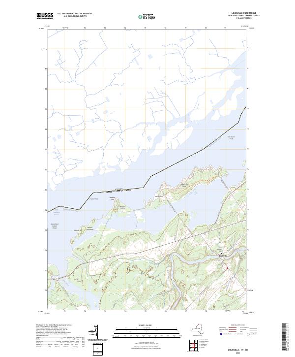 |
1946 Map No. 130358, 1964 Map No. 130359 |
Wilson Hill WMA |
Louisville (39%), Waddington (1%) |
Current Massena GeoPDF Map
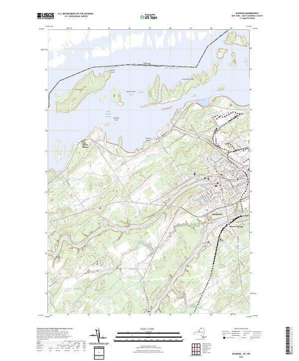 |
1942 Map No. 130474, 1964 Map No. 130477, 1964 Map No. 130478, 1964 Map No. 130479 |
Louisville FP Detached Parcel, Grantville State Forest |
Brasher (0%), Louisville (42%), Massena (26%), Norfolk (10%) |
Current Morley GeoPDF Map
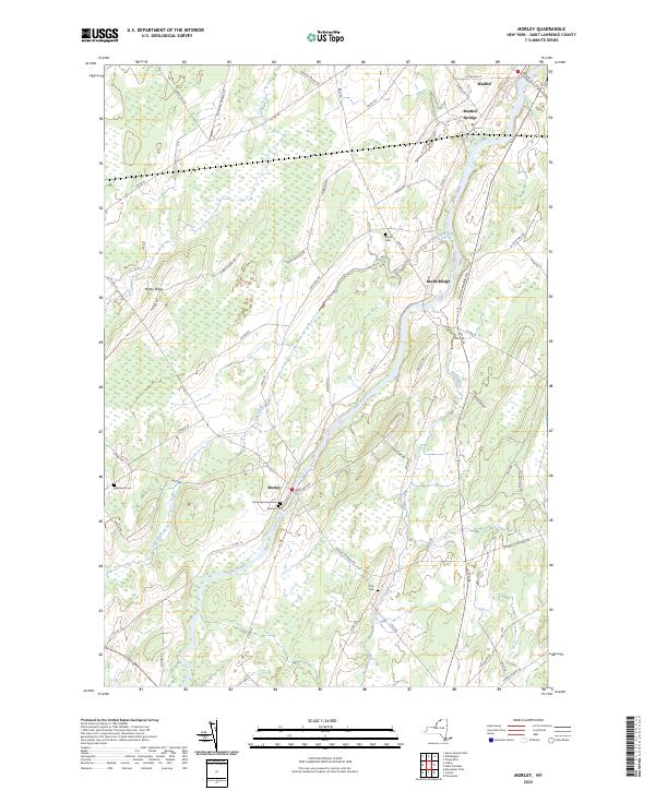 |
1964 Map No. 130672, 1964 Map No. 130673 |
Lisbon FP Detached Parcel, Upper And Lower Lakes WMA |
Canton (15%), Lisbon (14%), Madrid (23%), Potsdam (9%) |
Current Morrisburg GeoPDF Map
 |
1964 Map No. 130678 |
NA |
Louisville (1%), Waddington (8%) |
Current Morristown GeoPDF Map
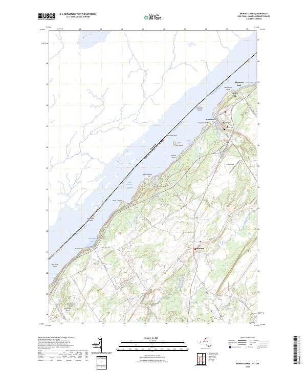 |
1942 Map No. 130682, 1963 Map No. 130683, 1963 Map No. 130684, 1963 Map No. 130685 |
NA |
Hammond (6%), Morristown (47%) |
Current Mount Matumbla GeoPDF Map
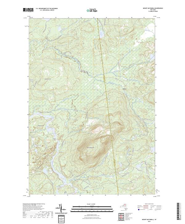 |
1968 Map No. 130710, 1968 Map No. 130711 |
Raquette-Jordan Boreal Primitive Area |
Hopkinton (3%), Piercefield (25%), Tupper Lake (16%) |
Current Muskellunge Lake GeoPDF Map
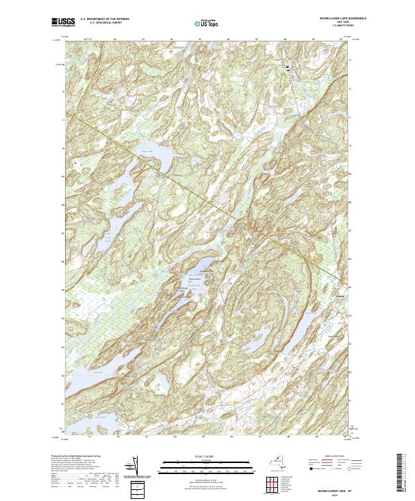 |
1961 Map No. 130739, 1961 Map No. 130740 |
Lake Of The Woods Waterway Access, Moon Lake Fishing Access, South Hammond State Forest, Pulpit Rock State Forest, Indian River WMA, Grass Lake Fishing Access |
Antwerp (14%), Hammond (4%), Macomb (0%), Rossie (47%), Theresa (23%) |
Current Natural Dam GeoPDF Map
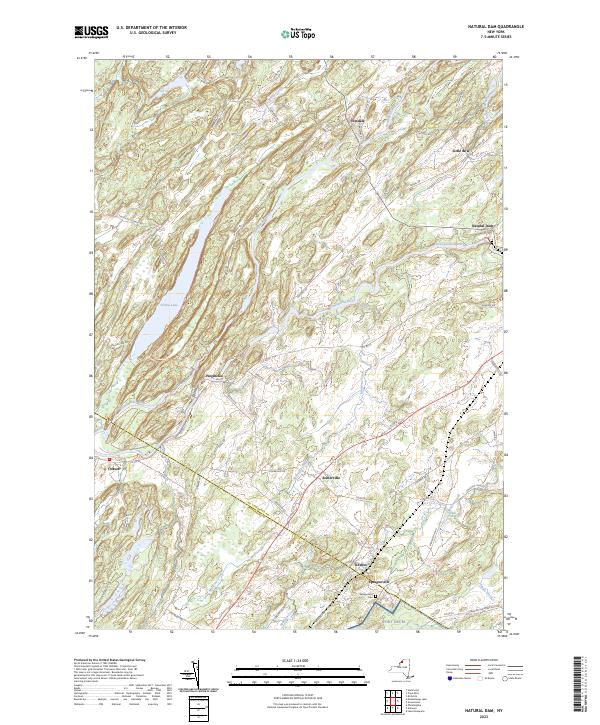 |
1951 Map No. 130771, 1961 Map No. 130772, 1961 Map No. 130773, 1961 Map No. 130774 |
Pleasant Lake State Forest, Yellow Lake State Forest, Oswegatchie River At Oxbow Fishing Access, Yellow Lake Waterway Access |
Antwerp (8%), Fowler (3%), Gouverneur (30%), Macomb (8%), Rossie (42%) |
Current Newton Falls GeoPDF Map
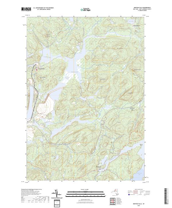 |
1968 Map No. 130853, 1968 Map No. 130854, 1999 Map No. 137415 |
Cranberry Lake Wild Forest, Alice Brook Primitive Area, Five Ponds Wilderness, Wanakena Primitive Area |
Clifton (28%), Fine (7%) |
Current Nicholville GeoPDF Map
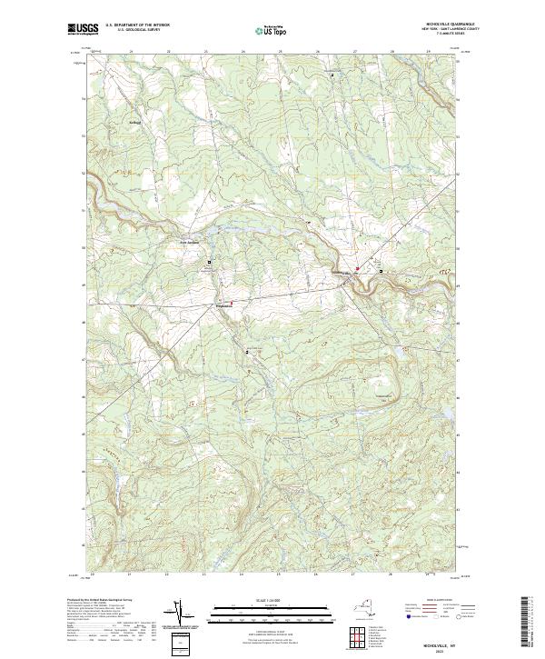 |
1964 Map No. 128721, 1964 Map No. 137421 |
Fort Jackson State Forest, Catherineville State Forest, Whiskey Flats State Forest |
Hopkinton (19%), Lawrence (33%), Stockholm (3%) |
Current Norfolk GeoPDF Map
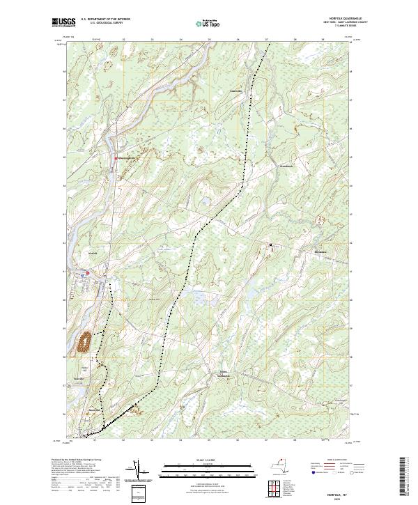 |
1942 Map No. 128736, 1964 Map No. 128738 |
Louisville FP Detached Parcel, Raymondville State Forest, Grantville State Forest, Knapp Station State Forest, Lost Nation State Forest |
Louisville (2%), Norfolk (66%), Potsdam (0%), Stockholm (14%) |
Current North Lawrence GeoPDF Map
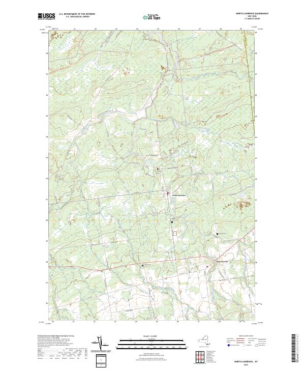 |
1964 Map No. 128754, 1964 Map No. 137467 |
Bombay State Forest, Brasher State Forest |
Brasher (29%), Lawrence (53%), Moira (1%), Stockholm (0%) |
Current Ogdensburg East GeoPDF Map
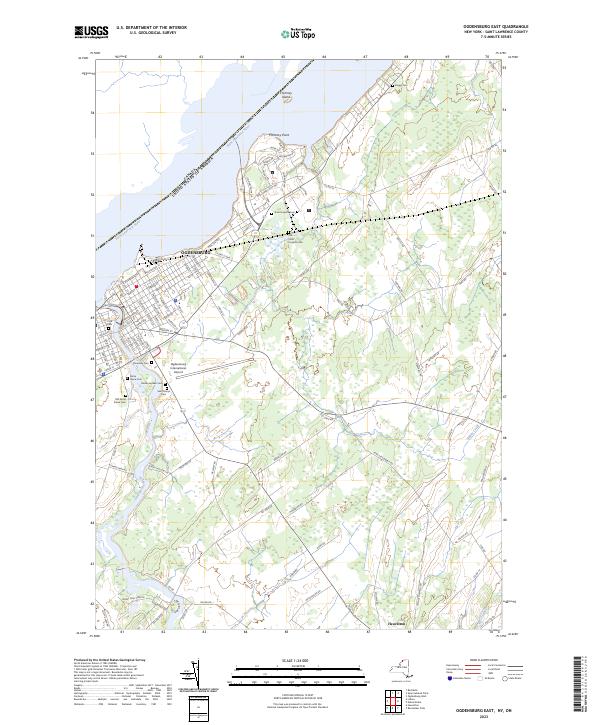 |
1963 Map No. 128854, 1963 Map No. 128855 |
NA |
Lisbon (16%), Ogdensburg city (87%), Oswegatchie (33%) |
Current Ogdensburg West GeoPDF Map
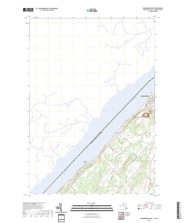 |
1963 Map No. 128857, 1963 Map No. 128858 |
NA |
Morristown (0%), Ogdensburg city (13%), Oswegatchie (21%) |
Current Oswegatchie GeoPDF Map
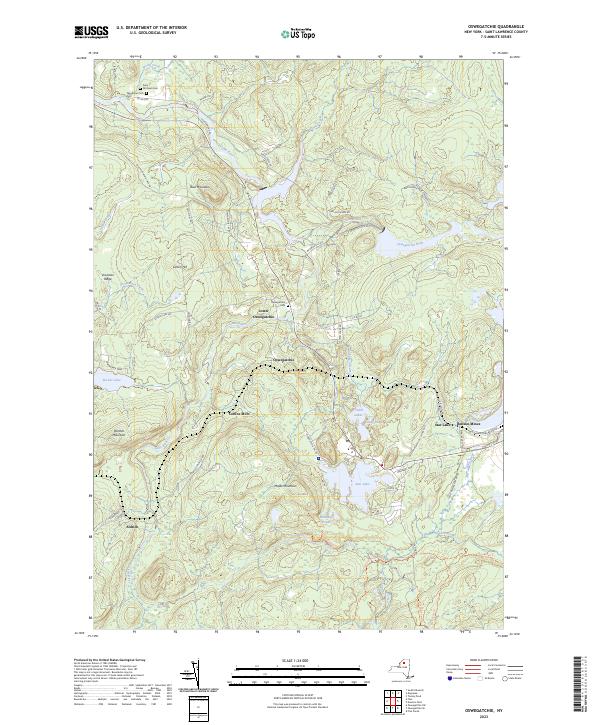 |
1966 Map No. 135923, 1966 Map No. 137496, 1966 Map No. 137497 |
Alice Brook Primitive Area, Buck Pond Primitive Area, Five Ponds Wilderness, Aldrich Pond Wild Forest, Sucker Lake Water Access, Tamarack Creek Primitive Area |
Clifton (8%), Fine (24%) |
Current Oswegatchie SE GeoPDF Map
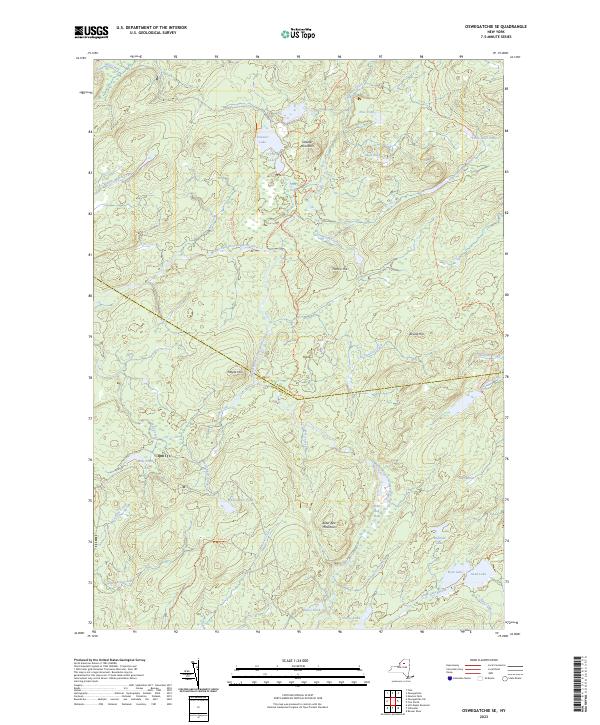 |
1966 Map No. 135918, 1966 Map No. 135920 |
Buck Pond Primitive Area, Five Ponds Wilderness, Pepperbox Wilderness, Aldrich Pond Wild Forest, Watson’s East Triangle Wild Forest |
Fine (17%), Webb (5%) |
Current Oswegatchie SW GeoPDF Map
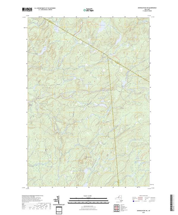 |
1966 Map No. 135921 |
Five Ponds Wilderness, Aldrich Pond Wild Forest, Watson’s East Triangle Wild Forest |
Croghan (8%), Diana (13%), Fine (5%), Webb (2%) |
Current Parishville GeoPDF Map
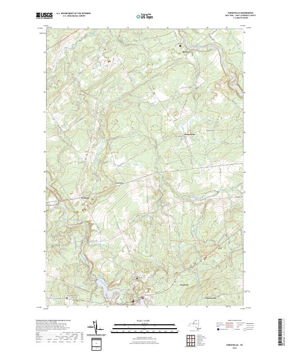 |
1943 Map No. 135966, 1964 Map No. 135967, 1964 Map No. 135968, 1964 Map No. 136772 |
Buckton State Forest, Fort Jackson State Forest, Southville State Forest, Whiskey Flats State Forest |
Hopkinton (5%), Parishville (15%), Stockholm (30%) |
Current Piercefield GeoPDF Map
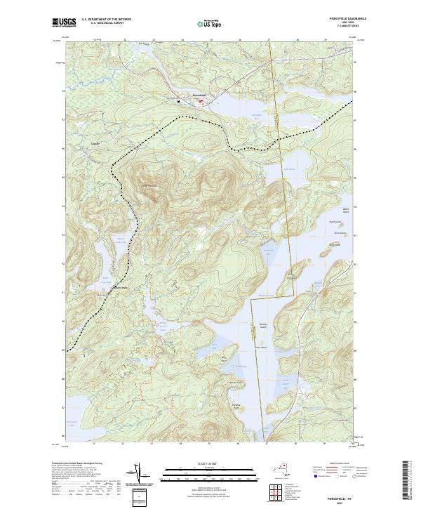 |
NA |
Dead Creek Primitive Area, Horseshoe Lake Wild Forest, Raquette-Jordan Boreal Primitive Area |
Piercefield (35%), Tupper Lake (11%) |
Current Pierrepont GeoPDF Map
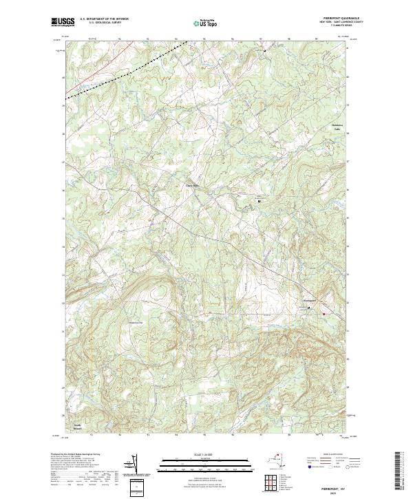 |
1964 Map No. 128994, 1964 Map No. 128995, 1964 Map No. 136800 |
Crary Mills State Forest, Glenmeal State Forest |
Canton (13%), Pierrepont (40%), Potsdam (11%), Russell (4%) |
Current Pope Mills GeoPDF Map
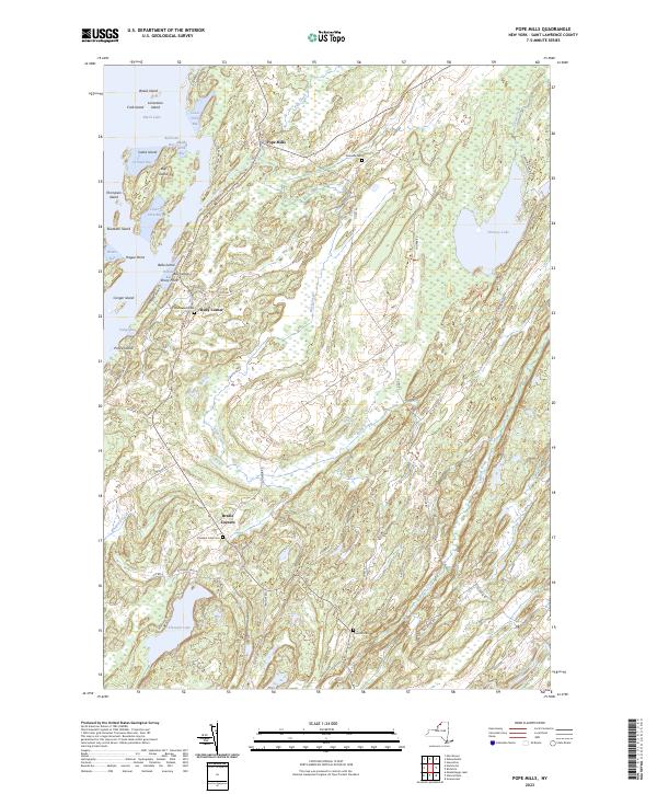 |
1951 Map No. 129068, 1961 Map No. 129069, 1961 Map No. 129070, 1961 Map No. 129071 |
Hickory Lake State Forest, Pleasant Lake State Forest, Beaver Creek State Forest, Fish Creek WMA |
Gouverneur (8%), Macomb (68%), Morristown (7%) |
Current Potsdam GeoPDF Map
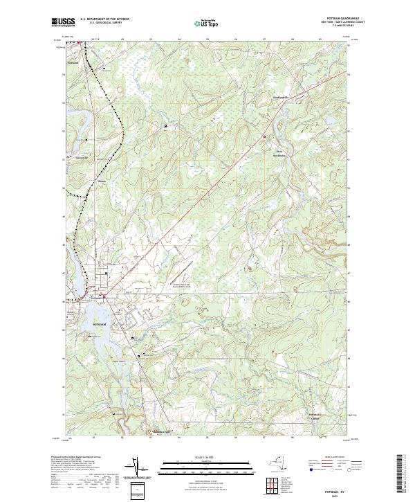 |
1943 Map No. 129140, 1964 Map No. 129144, 1964 Map No. 129145, 1964 Map No. 129146 |
Southville State Forest |
Norfolk (0%), Parishville (6%), Pierrepont (0%), Potsdam (26%), Stockholm (22%) |
Current Rainbow Falls GeoPDF Map
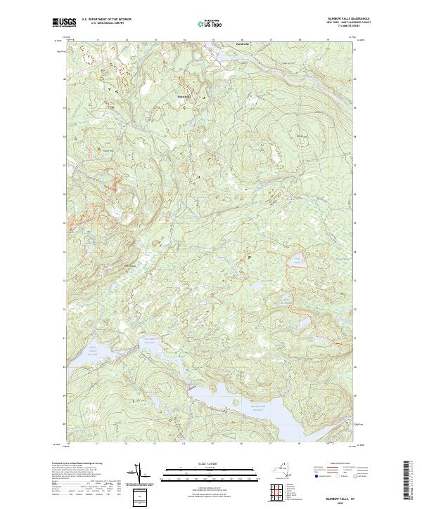 |
1964 Map No. 136005, 1964 Map No. 136006, 1964 Map No. 136844 |
High Flats State Forest, White Hill Wild Forest, Whiskey Flats State Forest |
Colton (4%), Hopkinton (3%), Parishville (37%) |
Current Raquette River GeoPDF Map
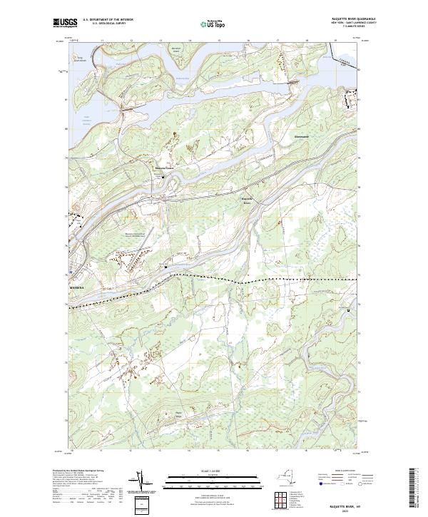 |
1946 Map No. 136017, 1964 Map No. 136019, 1964 Map No. 136021 |
Indian Meadows FP Detached Parcel, Brasher State Forest |
Brasher (19%), Massena (67%), Norfolk (1%) |
Current Red Mills GeoPDF Map
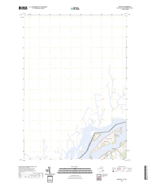 |
1963 Map No. 136038 |
NA |
Lisbon (4%) |
Current Redwood GeoPDF Map
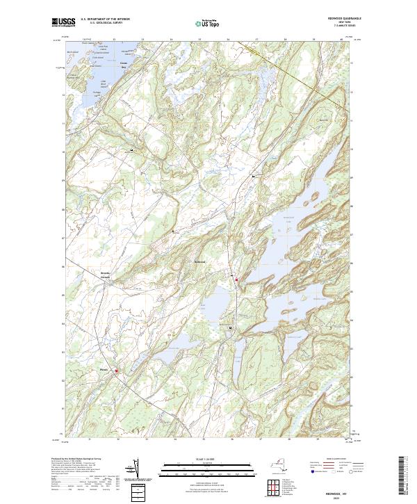 |
1958 Map No. 136044, 1958 Map No. 136045, 1958 Map No. 136046 |
Hyde Lake Fishing Access, Millsite Lake Fishing Access, Butterfield Lake Waterway Access, Sixberry Lake Fishing Access, Indian River WMA |
Alexandria (43%), Hammond (2%), Theresa (21%) |
Current Rensselaer Falls GeoPDF Map
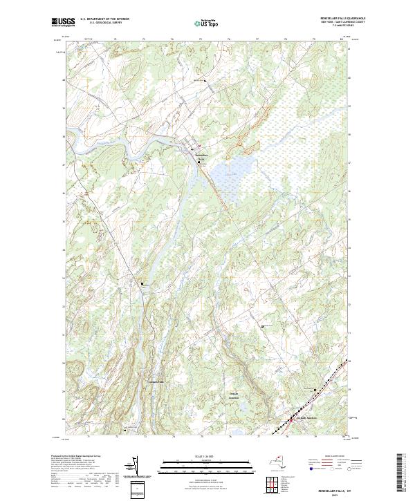 |
1963 Map No. 136055 |
Dekalb FP Detached Parcel, Upper And Lower Lakes WMA |
Canton (20%), De Kalb (30%), De Peyster (0%), Lisbon (3%), Oswegatchie (6%) |
Current Richville GeoPDF Map
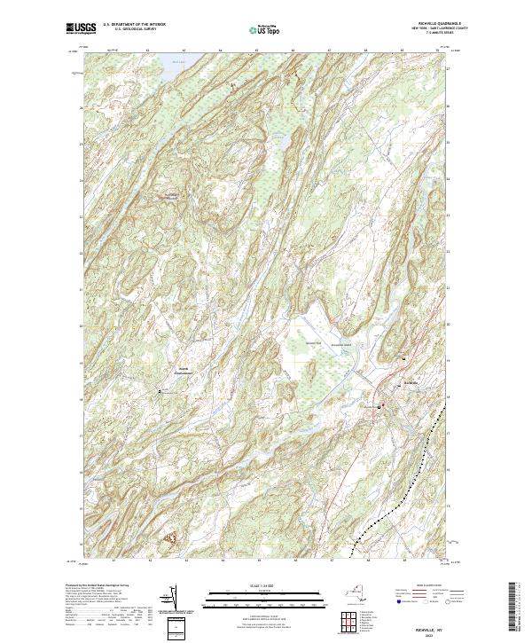 |
1956 Map No. 136073, 1956 Map No. 136074, 1956 Map No. 136859 |
Beaver Creek State Forest |
De Kalb (29%), De Peyster (6%), Gouverneur (32%), Hermon (1%), Macomb (4%) |
Current Sabattis GeoPDF Map
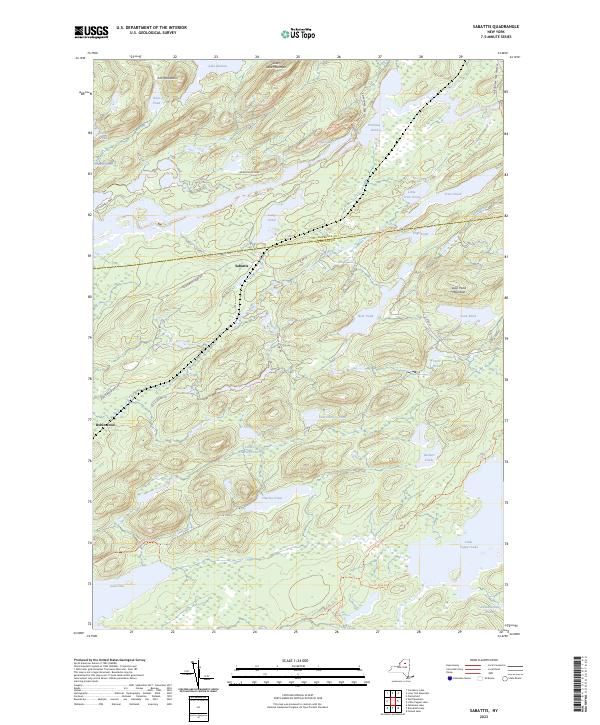 |
NA |
Eastern Five Ponds Access Primitive Area, Five Ponds Wilderness, Horseshoe Lake Wild Forest, Nehasane Primitive Area, Round Lake Wilderness, William C. Whitney Wilderness |
Colton (5%), Long Lake (8%), Piercefield (3%) |
Current Saint Regis Falls GeoPDF Map
 |
NA |
Deer River State Forest, St. Regis River State Forest, Debar Mountain Wild Forest |
Dickinson (59%), Hopkinton (3%), Lawrence (7%), Waverly (15%) |
Current South Edwards GeoPDF Map
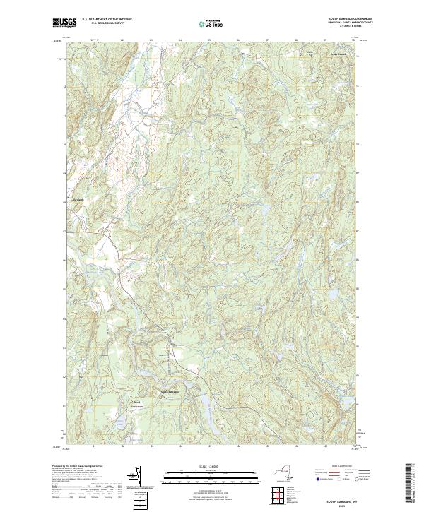 |
1969 Map No. 136194, 1969 Map No. 136927 |
Trout Lake State Forest, Silver Hill State Forest, Stammer Creek State Forest, Bonner Lake State Forest |
Edwards (38%), Fine (7%), Hermon (2%), Russell (21%) |
Current Sparrowhawk Point GeoPDF Map
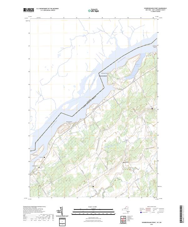 |
1963 Map No. 139823, 1963 Map No. 139824 |
Swallow Bluffs WMA |
Lisbon (19%), Waddington (18%) |
Current Stark GeoPDF Map
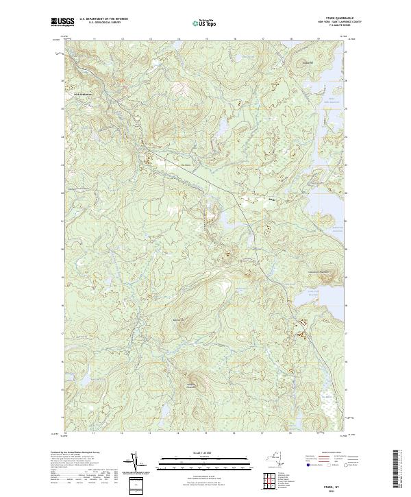 |
1968 Map No. 139876 |
Grass River Wild Forest, Raquette River Wild Forest, White Hill Wild Forest, Snow Bowl State Forest |
Colton (16%), Parishville (11%) |
Current Sylvan Falls GeoPDF Map
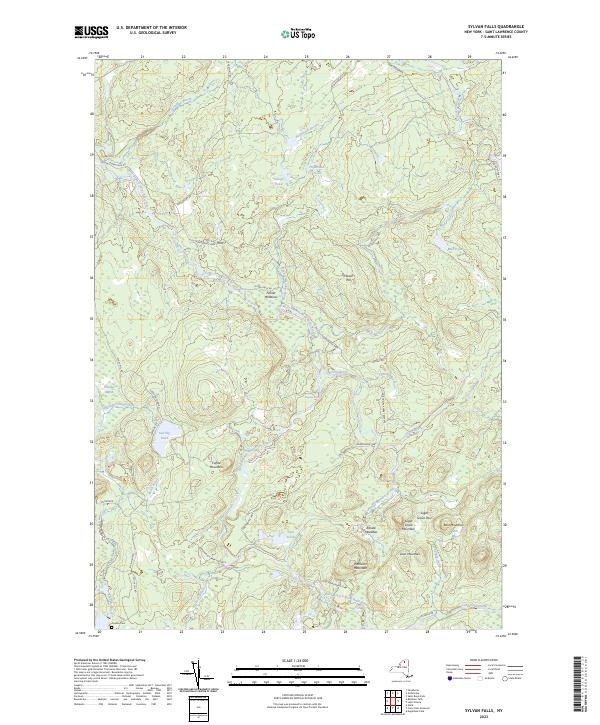 |
1964 Map No. 139936 |
Lake Ozonia Fishing Access Site, White Hill Wild Forest, Catherineville State Forest |
Hopkinton (24%), Parishville (9%) |
Current Tooley Pond GeoPDF Map
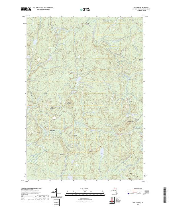 |
1969 Map No. 139349 |
Grass River Wild Forest |
Clare (31%), Clifton (10%), Colton (3%) |
Current Waddington GeoPDF Map
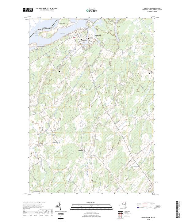 |
1942 Map No. 139508, 1964 Map No. 139512, 1964 Map No. 139513 |
Waddington FP Detached Parcel |
Lisbon (0%), Madrid (28%), Waddington (63%) |
Current West Pierrepont GeoPDF Map
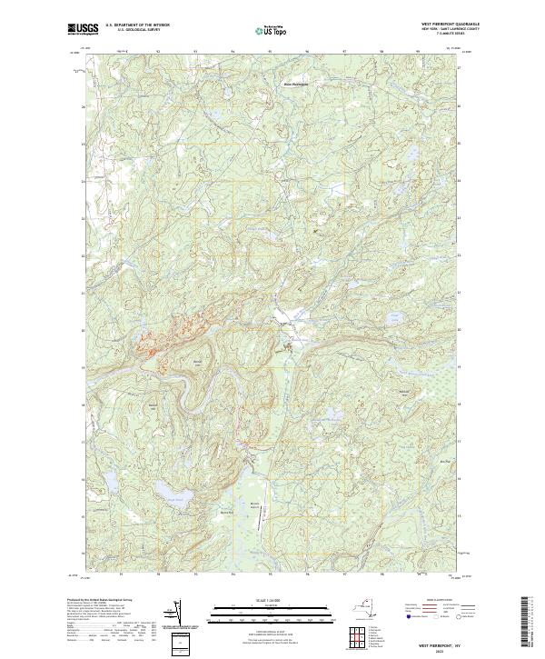 |
1969 Map No. 137013, 1969 Map No. 140195 |
Grass River Wild Forest, Taylor Creek State Forest, Degrasse State Forest, Glenmeal State Forest, Downerville State Forest, Whippoorwill Corners State Forest |
Clare (24%), Pierrepont (18%), Russell (20%) |
Current West Potsdam GeoPDF Map
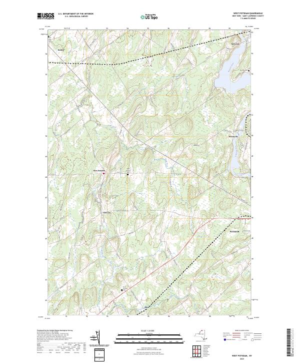 |
1964 Map No. 140216 |
NA |
Canton (0%), Madrid (4%), Potsdam (49%) |
Current Wolf Mountain GeoPDF Map
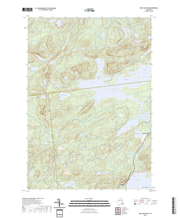 |
1968 Map No. 140367, 1968 Map No. 140368, 1999 Map No. 137042 |
Eastern Five Ponds Access Primitive Area, Five Ponds Wilderness, Partlow Lake Primitive Area, Nehasane Primitive Area, William C. Whitney Wilderness |
Clifton (12%), Colton (1%), Long Lake (6%), Webb (1%) |