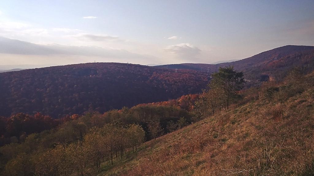
Photo: Pigeon Roost
Download a High Resolution JPEG Image of the Pigeon Roost or an Adobe Acrobat Printable PDF of the Pigeon Roost.
Pigeon Roost ...
And forenobs of the Allegheny Front looking down from the parking area along Corridor H.
Taken on Wednesday November 10, 2021 at Mount Storm.
Location: 39.220476, -79.192177 📌
Mount Storm is an unincorporated community in Grant County, West Virginia, United States. Mount Storm lies on the Northwestern Turnpike at its junction with West Virginia Route 42. Mount Storm Lake – also known as New Stony River Reservoir – is a 1,200 acres (4.9 km2) reservoir created in 1965 on the Stony River in Grant County, West Virginia. Mount Storm Lake serves as a cooling pond for the Dominion 1.6 gigawatt Mount Storm Power Station, which provides electricity to more than two million customers in Northern Virginia. The reservoir stands at an altitude of 3,244 feet (989 m). https://en.wikipedia.org/wiki/Mount_Storm_Lake Corridor H – Mount Storm ... photos, maps and other content from from Mount Storm.More about Mount Storm...
https://en.wikipedia.org/wiki/Mount_Storm_Power_StationMaps and Interactives
Before Mount Storm Lake
