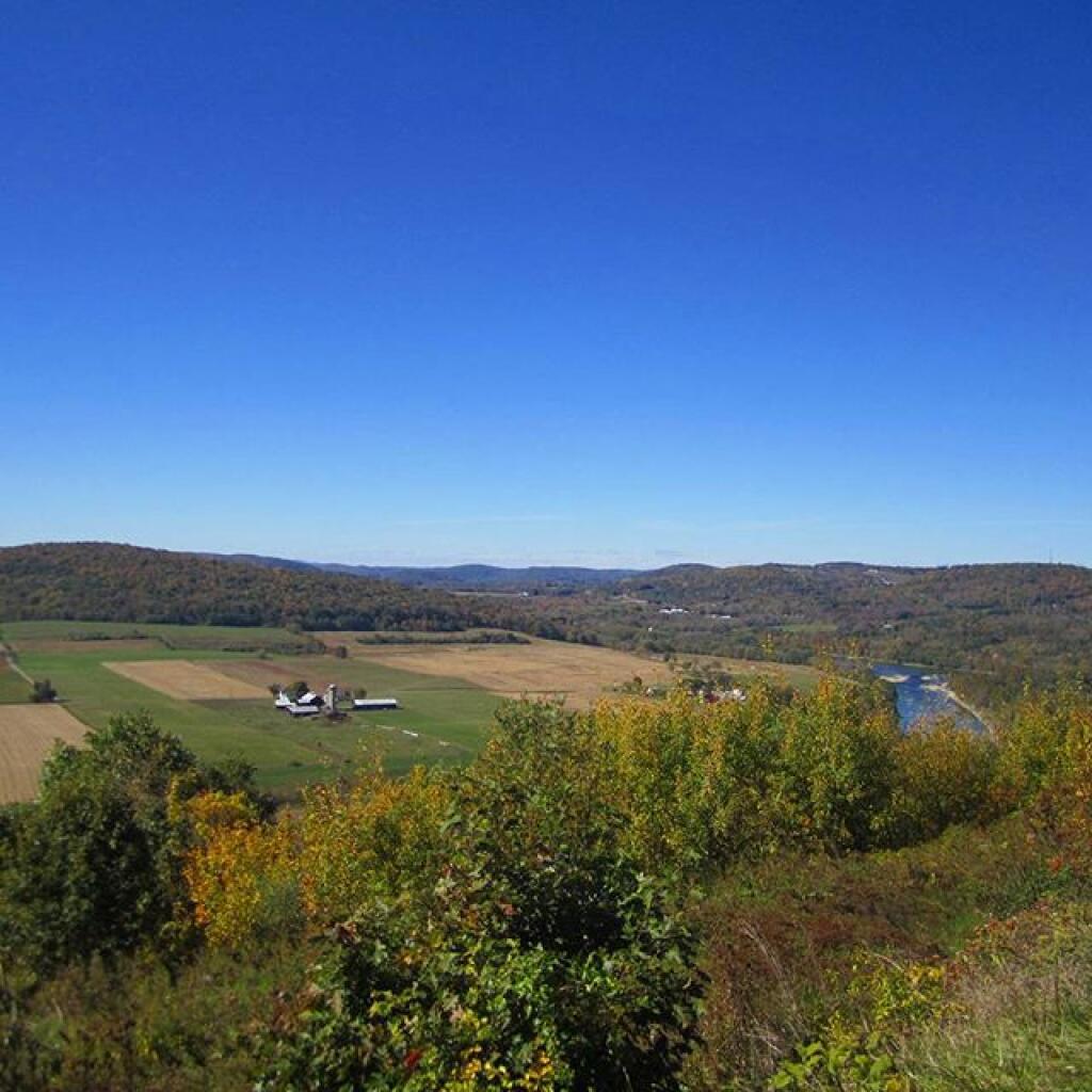
Back out walking along Rapp Road today talking about the old Pig Farm

Back out walking along Rapp Road today talking about the old Pig Farm 🐽

People back in the day might not have thought much of the infertile and rather remote land out that way but raising pigs is a great way to bring nutrients to the land and tear up the soil. Good thing to think about when sometime you might have land up in the mountains where the soil has eroded away. Especially when you are trying to rebuild land, pigs have a good place in your operation.

Map: Alma Pond
Map: Dobbins Memorial State Forest
Map: Little John Wildlife Management Area
Map: Otter Lake
Map: South Hill State Forest (Oneida 23)
Map: Summer Hill State Forest
SVGZ Graphic: albany-snow-depth
SVGZ Graphic: college-rate
SVGZ Graphic: december-holidays
SVGZ Graphic: ht2025
SVGZ Graphic: lt2025
SVGZ Graphic: Places Named Bethlehem
SVGZ Graphic: Towns with Most Similiar Land Cover to the Town of Bethlehem
Terrain Map: Happy World Milk Day!
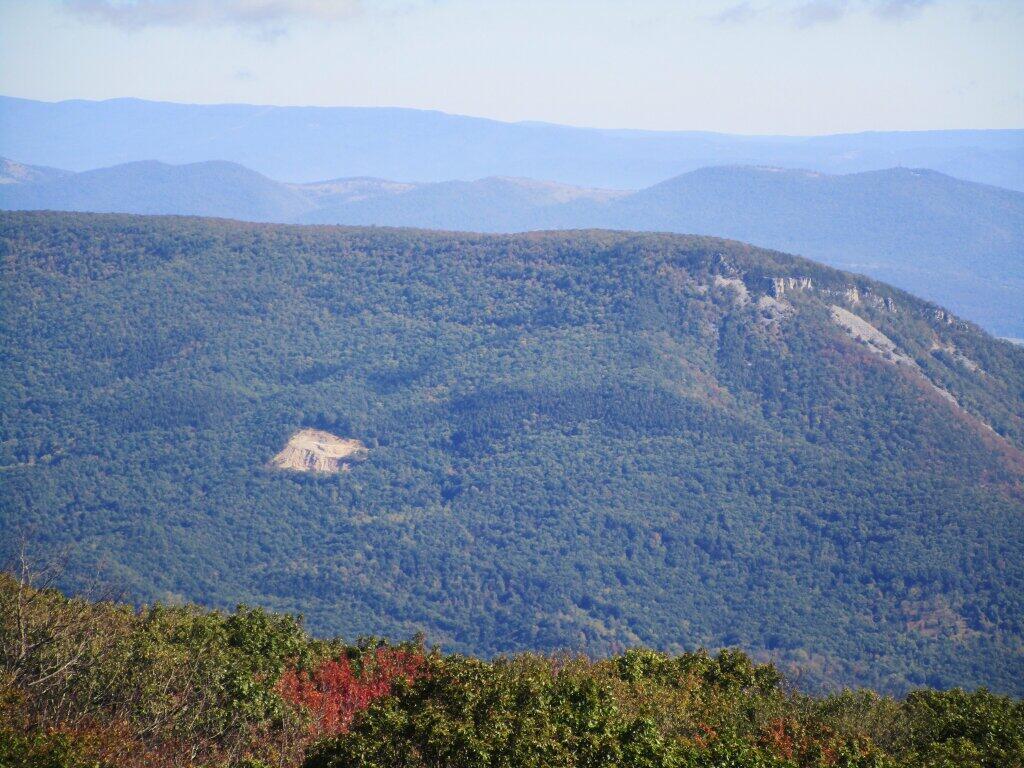
Photo: GOB Piles On North Mountain
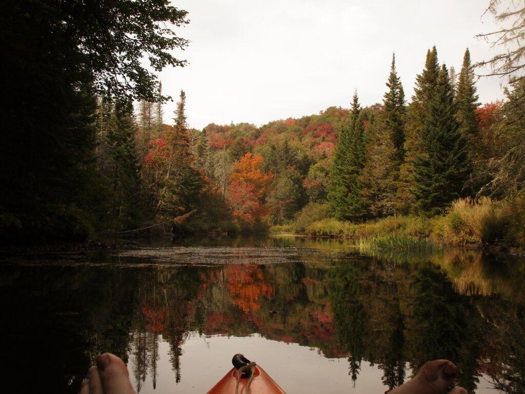
Photo: Toes
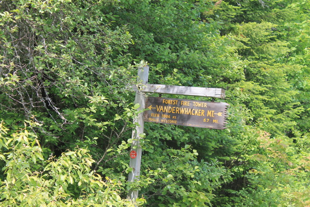
Photo: Firetower 5.7 mi away, if you walk
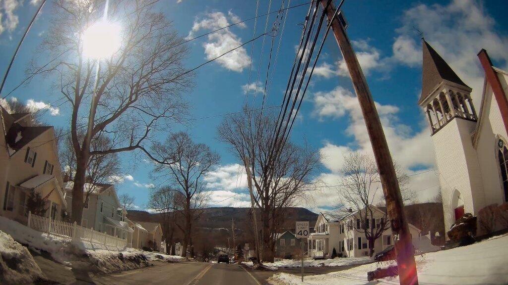
Photo: New Salem
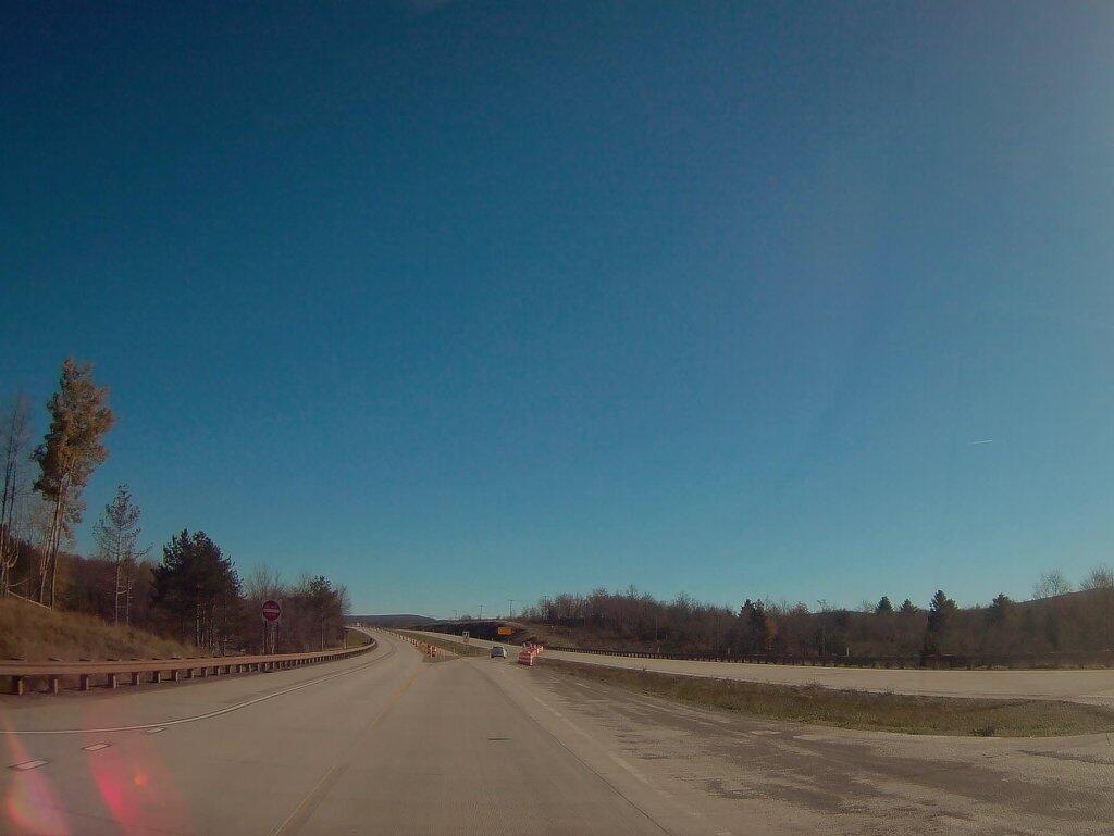
Photo: Where Corridor H Ends Outside Of Davis WV
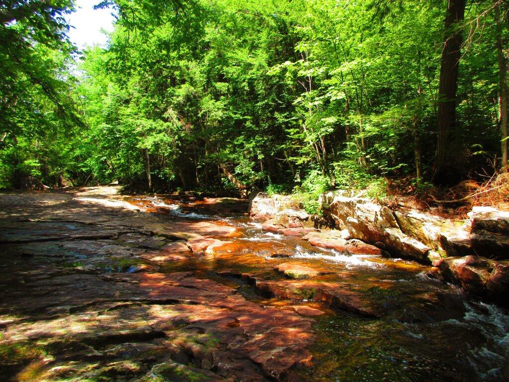
Photo: Quite Dry
Photo: West
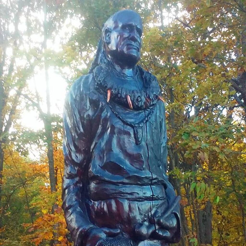
Photo: Cheif Watonagh
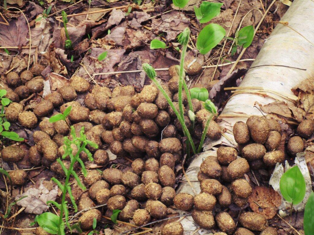
Photo: Shit Ton Of Moose Shit On Lye Brook Trail
Photo: Still pretty green here

Leave a Reply

Your email address will not be published. Required fields are marked *