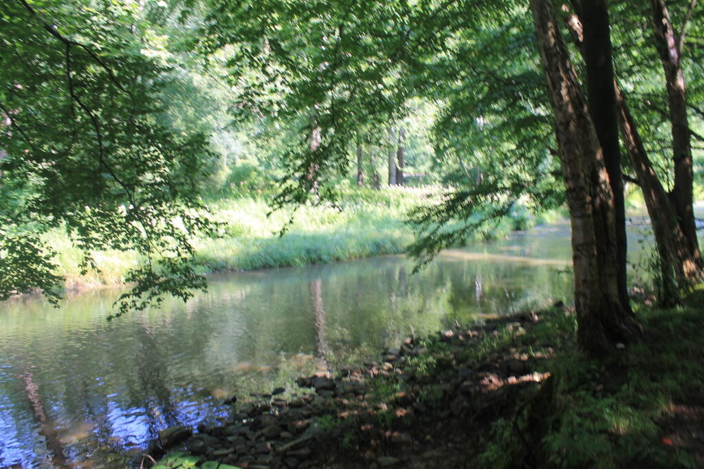
Getting pounded

They are really getting pounded by the rain along the Thruway today. Some drizzle and thunder here but not nearly as bad.

Map: Alma Pond
Map: Dobbins Memorial State Forest
Map: Little John Wildlife Management Area
Map: Otter Lake
Map: South Hill State Forest (Oneida 23)
Map: Summer Hill State Forest
SVGZ Graphic: albany-snow-depth
SVGZ Graphic: college-rate
SVGZ Graphic: december-holidays
SVGZ Graphic: ht2025
SVGZ Graphic: lt2025
SVGZ Graphic: Places Named Bethlehem
SVGZ Graphic: Towns with Most Similiar Land Cover to the Town of Bethlehem
Terrain Map: Happy World Milk Day!
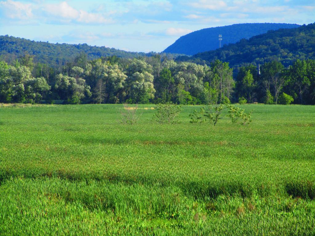
Photo: South Towards Montour Falls
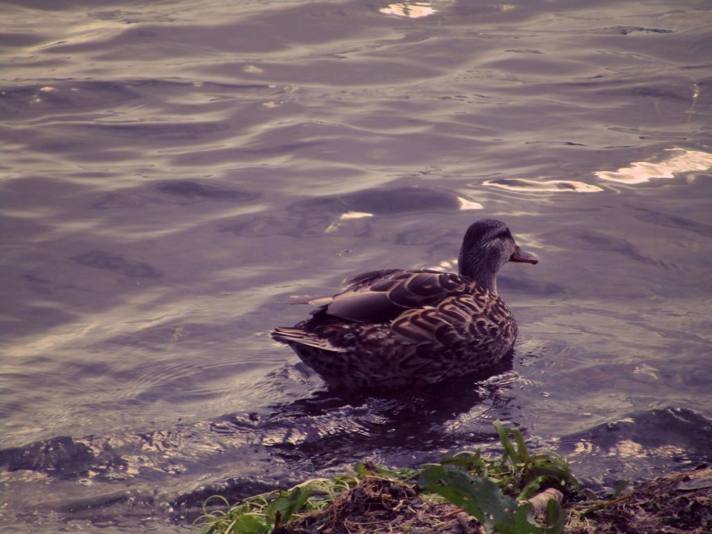
Photo: Duck
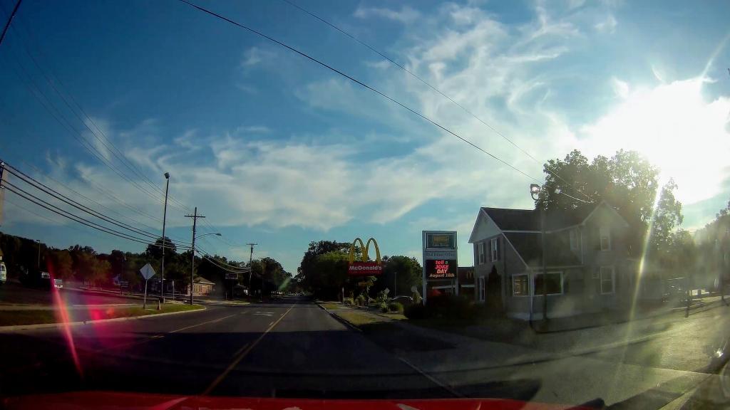
Photo: Golden Arches 🍔
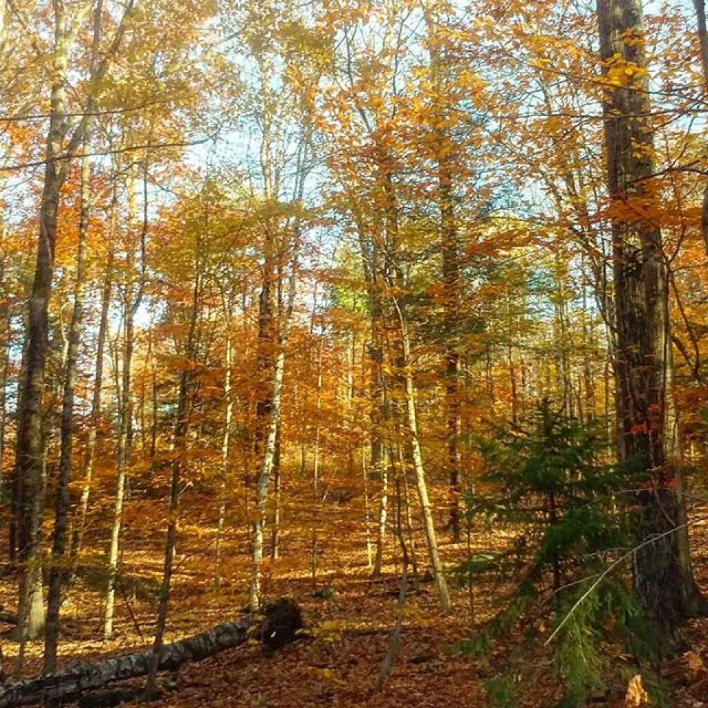
Photo: Hurry fast, colors won't last
Photo: Evening at Catharine Creek Marsh
Photo: Vlomans Kill this afternoon
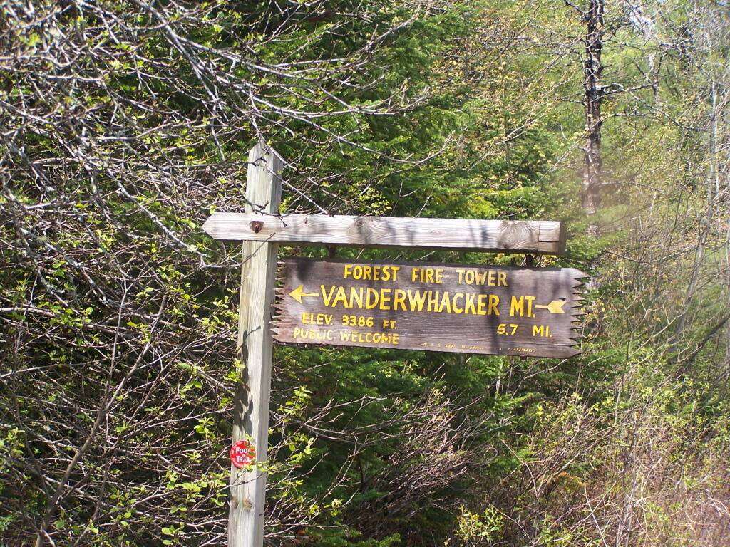
Photo: Vanderwhacker Firetower Trail Sign
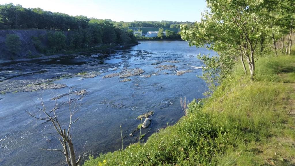
Photo: Low head dam
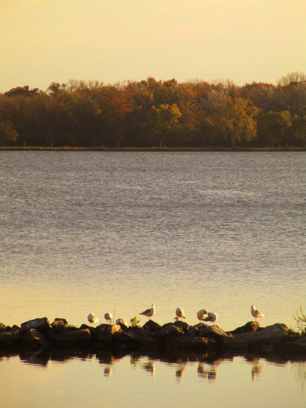
Photo: Shoreline
Photo: Oil Creek

Leave a Reply

Your email address will not be published. Required fields are marked *