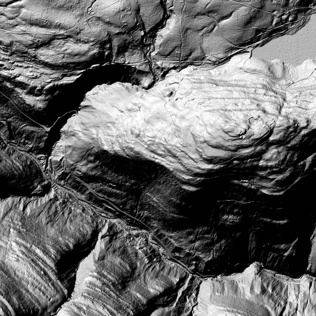
LiDAR Property Exploration
High resolution LiDAR digital elevation models are a fantastic tool for exploring land and finding…
- Old dump sites
- Old mines
- Old roads
- Old stone walls
- Cuts and fills of any sort on the land
I would definitely use such hillshade data when considering to buy a piece of land, to get a better idea of what its like then what just an aerial photo or map shows. LiDAR see through trees and bushes, it gives a lot more information then you might get without a very detailed survey of a property.
Download NYS High Resolution LiDAR data.
