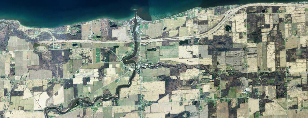
OrthoPhoto: End Of The LOSP
Download a High Resolution JPEG Image of the End Of The LOSP or an Adobe Acrobat Printable PDF of the OrthoEnd Of The LOSP.
About End Of The LOSP ....
Back in the 1930s, Robert Moses proposed and started constructing a parkway that would run along the lake shore of Lake Ontario, connecting Niagara Falls, Rochester, Oswego, and ultimately Watertown, Massena, and Malone, roughly parallel to the local routes now known as NY 104 and NY 3. Only about 35 miles of the parkway were ultimately built west of Rochester, leaving a 30 mile gap between the Robert Moses Parkway in Fort Niagara to Lakeside Beach Park in Carlton, Orleans County.
More about Niagara, Genesee, Orleans Counties...
Maps and Interactives
Land Use, Orleans County, NY
Land Use in Batavia Area
Iroqouis National Wildlife Refuge
Batavia
Tonawanda Wildlife Management Area
John White Wildlife Management Area
... photos, maps and other content from from Niagara, Genesee, Orleans Counties.
