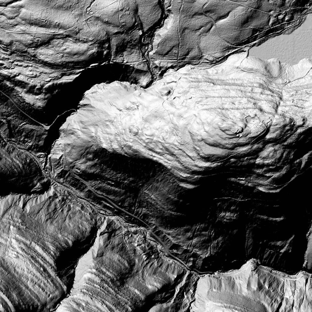
Terrain Map: Hillshade Of South Mountain
Download a High Resolution JPEG Image of the Terrain Hillshade Of South Mountain or an Adobe Acrobat Printable PDF of the Terrain Hillshade Of South Mountain.
About Hillshade Of South Mountain ....
As natural processes go, humans are one of the most notable on how they have re-shaped the surface of the earth. Graded surfaces, such as roadways and carriageways are clearly visible on this LiDAR Hillshade along South Mountain and the Palenville Clove of the Catskills. Old carriageways, long abandoned or converted into hiking trails might not be visible on normal aerial photography, but still show up on this hillshade of the landscape. Zoom in and take a careful look at this image.
More about North South Lake Campground...
North-South Lake is the biggest and most popular state campground in the Catskill Forest Preserve, offering extraordinary scenic beauty, and historical sites, such as: Alligator Rock, Kaaterskill Falls, and the former site of the Catskill Mountain House. An abrupt change in elevation occurs from about 540 feet above sea level at the base of the escarpment to approximately 2,250 feet at the site of the former Catskill Mountain House. The provinces around the lakes have long provided visitors with exceptional views of the surrounding countryside. It is said that on a clear day, five states can be viewed from the escarpment.
http://www.dec.ny.gov/outdoor/24487.html
Maps and Interactives
North South Lake versus City of Hudson – Size Comparison
North-South Lake Campground
Hillshade Of South Mountain
Mountain House Trail
Harding Road Trail
... photos, maps and other content from from North South Lake Campground.
