This map shows Class "C", "High Hazard" dams: A dam failure may result in widespread or serious damage to home(s); damage to main highways, industrial or commercial buildings, railroads, and/or important utilities, including water supply, sewage treatment, fuel, power, cable or telephone infrastructure; or substantial environmental damage; such that the loss of human life or widespread substantial economic loss is likely.
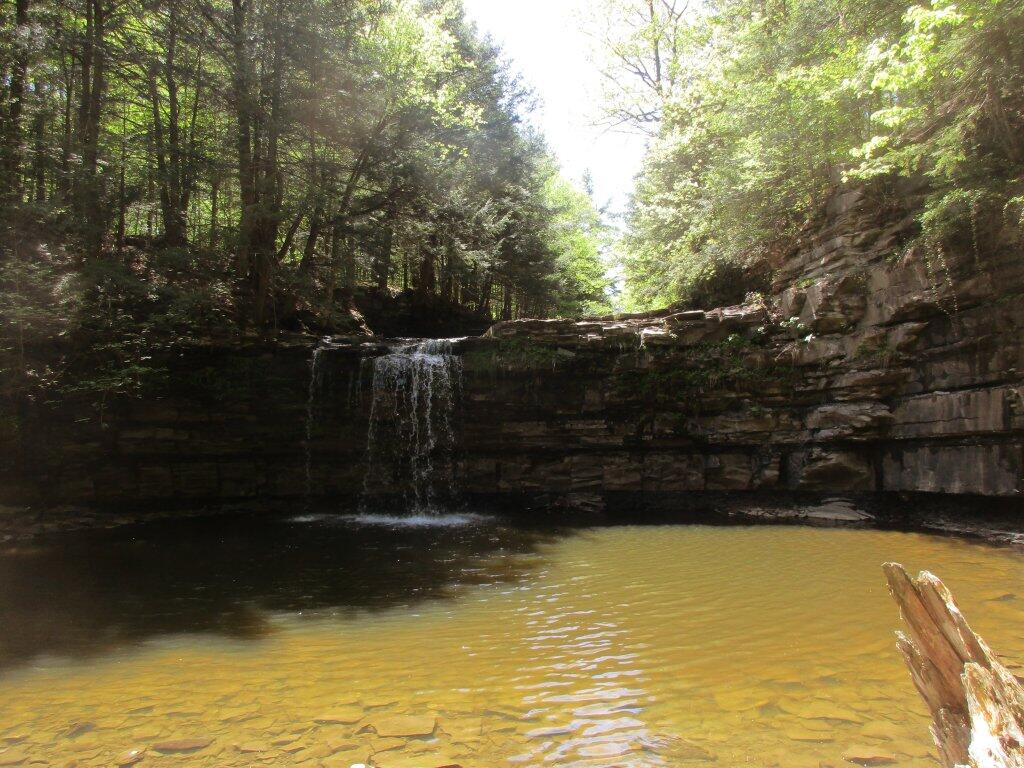
The one most people go to Christman Sanctuary to see, although there really wasn't that much going over it today.
Taken on Friday May 18, 2018 at Christman Sanctuary.
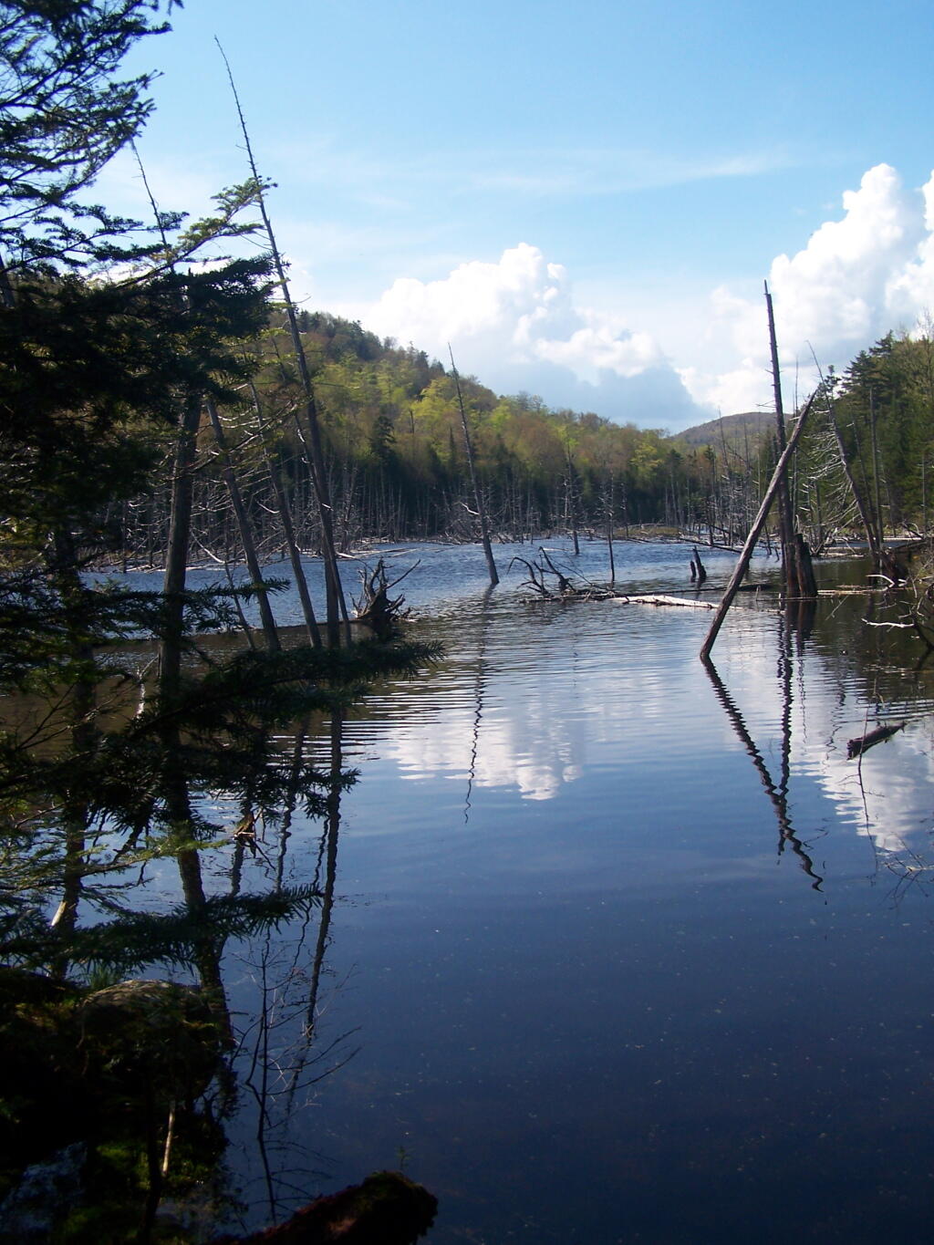
Along the trail to Lake Colden and ultimately the High Peaks of the Adirondacks.
Taken on Saturday May 21, 2011 at Tahawus.
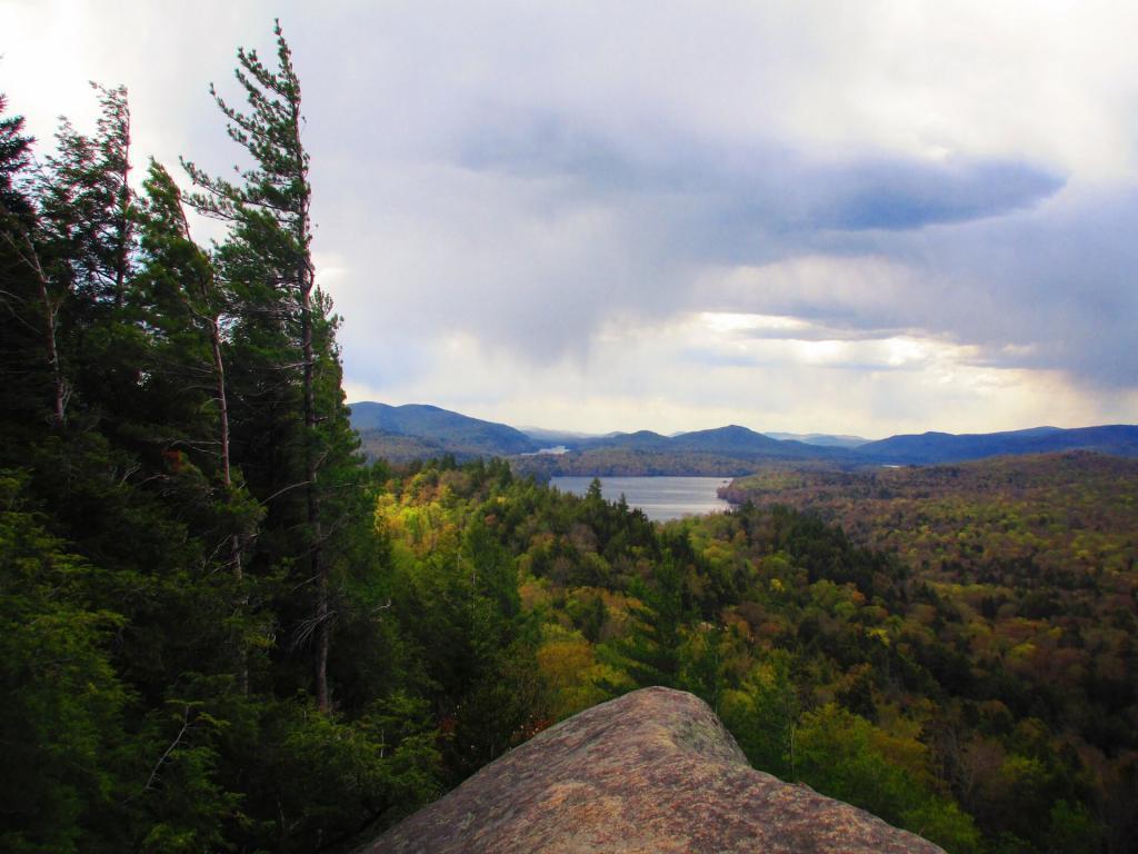
Still things have a way to go to get really green, but it made for some interesting contrast as a few sprinkles worked there way in.
Taken on Sunday May 16, 2021 at Watch Hill.
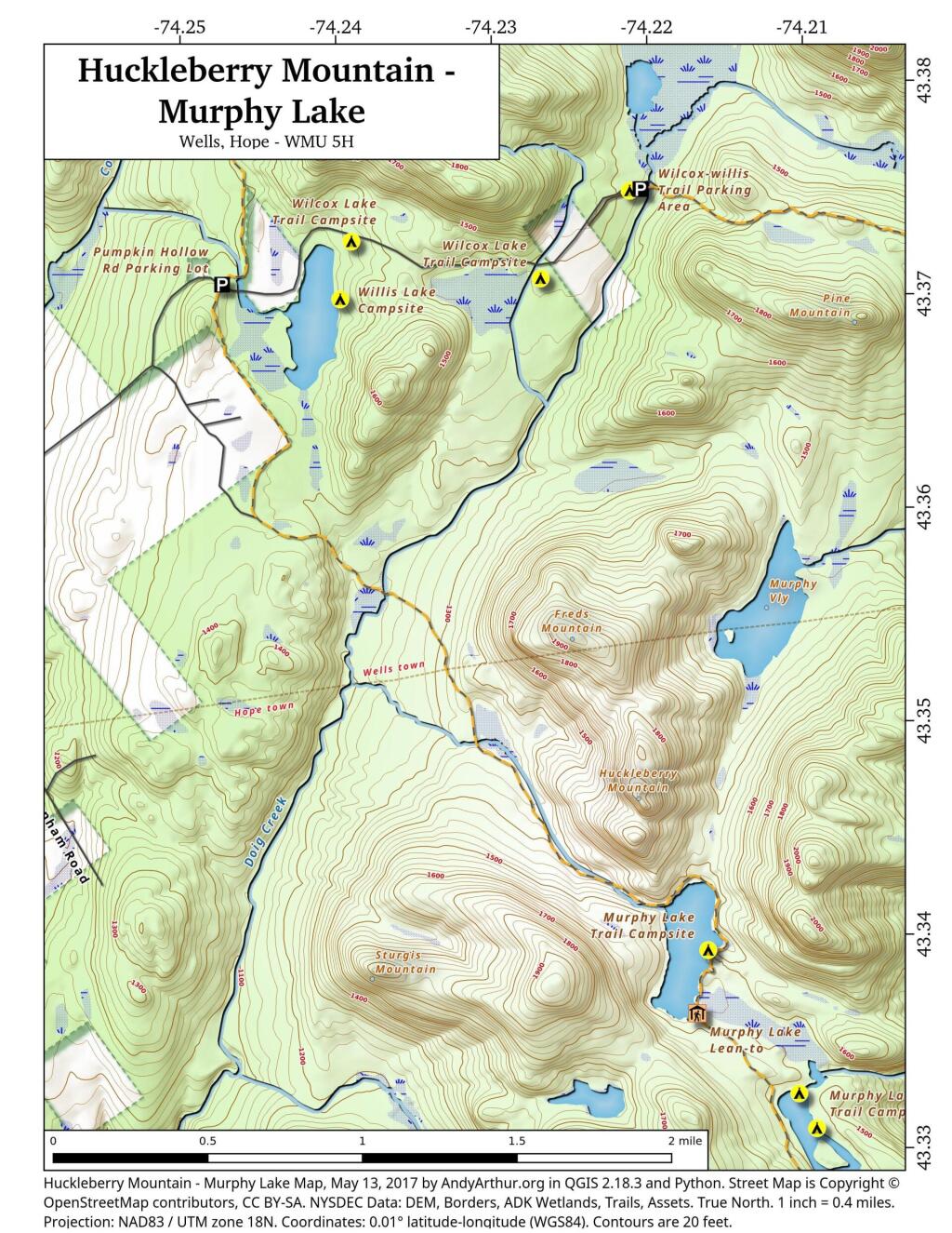
This map shows the back country between Willis Lake and Murphy Lake, including Huckleberry Mountain which is a popular hike even though it lacks an officially designed trail.