Jessup River Wild Forest

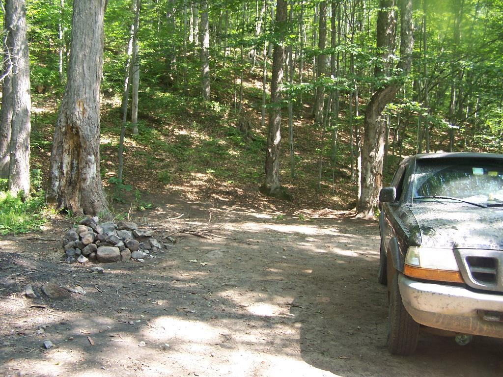
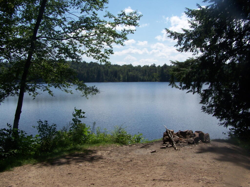
Jessup River Wild Forest is a parcel of lands surrounding the International Paper’s Perkins Clearing Timberlands and Speculator Tree Farm. There are about a dozen informal campsites along Mason Pond on Perkins Clearing Road that are popular, with about 6 of them with direct road access for a small vehicle like a pop-up trailer or a pickup truck with a cap. Only a few of the sites are clearly designated as such, but they all are very well used.

Cleaning Up Site

Significant noise pollution from NY 30 can be heard at some of the sites. There are no outhouses, although there are five gallon buckets people use for toilets. Besides the sites on Perkins Clearing Road in Jessup River Wild Forest, there are also eight designated road-side sites in International Paper Timberlands known as Perkins Clearing, just south of Jessup River Wild Forest.

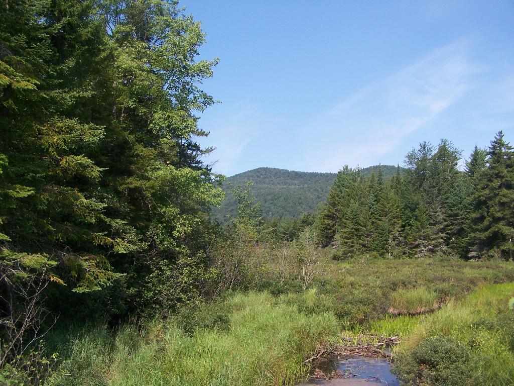
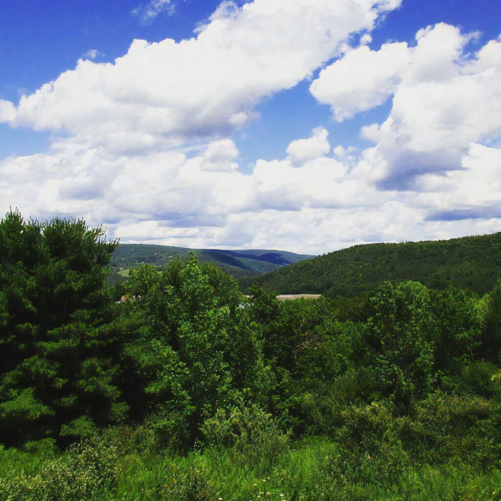
Marsh and Pillsbury Mountain

The following changes are proposed in the Jessup River Wild Forest Unit Managemen Plan.

“Close Undesignated Campsites and /or Restrict Type of Camping. This alternative would propose the removal of user created primitive tent sites within 150 of water or road for environmental or social reasons. Camping structures would be restricted by regulation to “tents, tarps and lean-to’s as required by the APSLMP, thereby eliminating use of travel trailers, “pop-up” style campers, tent trailers, or structures of similar fashion. This option would eliminate opportunities for individuals seeking an easily accessible camping site close to a lake or road. Current regulations allow for camping anywhere in the JRWF as long as the 150 foot set back requirement is met. People would probably still park by the road and camp further in without any controls. This alternative would also restrict opportunities for mobility impaired individuals to access the lake and/or camp on JRWF lands. Therefore, this alternative will not be supported by this UMP.”

“The preferred alternative is to designate sites taking into consideration day use of the area, appropriate existing sites, APSLMP spacing guidelines, and terrain constraints. Because of their anticipated popularity, permits to stay for more than three nights will not be issued for sites in heavy demand during the core camping season. The camping areas at the northwest end of the lake will be closed due to conflicts with day users and environmental constraints. Other sites that are unsuitable or too close to the water will be closed and revegetated.”

“The closure of fourteen sites along with official designation of 10 suitable sites will reduce the amount of camping the area is currently experiencing. When all sites have been occupied, users will be directed to camp elsewhere. The opening of the adjacent IP lands to camping under the conservation easement will accommodate overflow camping. Use levels and site impacts will be closely monitored on the designated sites. If LAC standards are exceeded, the individual site will be closed and/or rehabilitated.”

β€” NYSDEC Jessup River Wild Forest UMP.

Confirmed Roadside Campsites.

Road Number of Campsites
Perkins Clearing Road
at Mason Lake
6 drive-in sites
4 tent sites

Maps.

Jessup River Road

Map of Jessup River Wild Forest. Inset is Perkins Clearing and Speculator Tree Farm Easements. Campsites do not appear on these maps, but they give a general overview of the area.

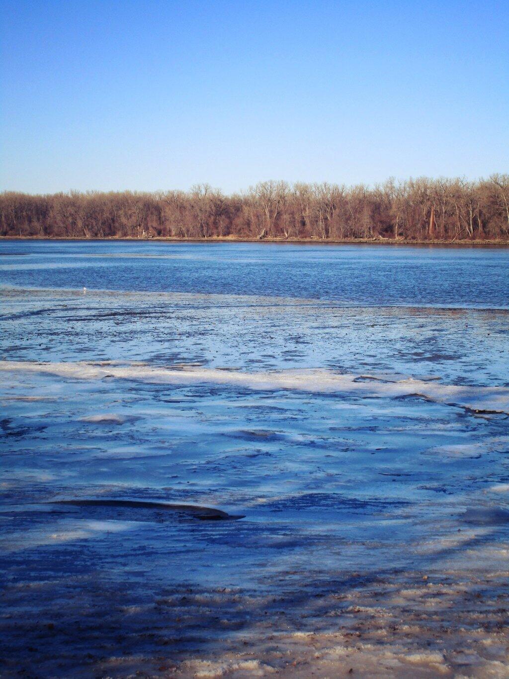
 Some Ice On The Hudson

Map of Perkins Clearing and Speculator Tree Farm. There are 10 campsites designated on these parcels, drive around to find them. Campsites do not appear on this map.

More Resources…

Campsite with a View

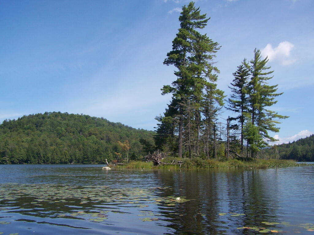
Another Island on Mason Lake

Winona Recreation Area

The Winona Recreation Area, aka the Winona and Jefferson State Forests has a series of informal campsites throughout it’s miles and truck trails, that are also used by ATVs and snowmobiles based on the time of the year. Known for the large amount of snow the area gets, it’s one of the most vast state parcels in the Tug Hill Plateau.

In the past I’ve camped on an undesignated site with a firepit on Bargby Road. There are other sites around, but I don’t know the area that well, and the sites ar not listed online. You might consider contacting the local Forest Ranger about getting a permit and some other ideas.

Be careful driving around here, as many of the truck trails are very rough and muddy, and you will be sharing them with ATVs in the summer season. They are real fun if you want to get some mud on your pickup truck. It’s by far one of the best places to find rough and muddy state truck trails in NY State, and tons of snow in the winter. I camped there in April 2004 (no snow), but it was cold. β€” Andy

“Over the past years, many different groups have enjoyed the use of these trails, but this has made for some difficulty in how to designate which trails would be used and for what purpose. The Western Edge Recreational Association was developed around 1995 to bring together all the users: skiers, snowmobilers, dog sledders, horse owners, hunters, bikers, and orienteering people.”

“With the melding of ideas, resources and manpower, Winona State Forest has become one of New York State’s best venues for recreation, and at the same time, provides valuable timber resources.”

“In 2005, DEC began developing a unit management plan (UMP) for Winona State Forest. A UMP must be completed before significant new recreational facilities, such as trails, camping sites, and parking areas can be constructed. The plans involve an extensive analysis of the natural features of an area and the ability of the land to accommodate public use. The DEC has primary responsibility for developing management plans for the State-owned lands. Draft plans are widely distributed for public comment and review prior to being finalized by DEC.”

β€” NYSDEC Winona State Forest.

“The Winona Forest Recreation Association (WFRA) maintains approximately 70 miles of trails in the Winona Forest and Jefferson County Forest Preserve. Both are located in the Tug Hill region of New York State. WFRA, which began as the Tug Hill Ski Club, has reorganized as the Winona Forest Recreation Association in order to include all user groups of the forest. WFRA membership consists of skiers, snowmobilers, atv riders, equestrians, mushers,snowshoers, bikers, hikers and many other outdoor sports enthusiasts. We’re not just an ordinary club!

“Winona Forest is one of the snowiest places east of the Rockies with an average snow fall of 250 inches per year! In winter, the prevailing westerly winds move cold winter air over the warm water of Lake Ontario producing massive lake effect snow falls on the Winona Forest in the Tug Hill area.”

β€” Winona Forest Recreation Association.

Barby Road 2
Tucker Road 1

Summer afternoon

Aldrich Pond Wild Forest

The Aldrich Pond Wild Forest Wild Forest Unit Management Plan mentions the following about Roadside Camping in the area…

“Most of the camping on this area occurs during the hunting season and much of this is along the Streeter Lake Road. Sixteen campsites have been designated along this corridor and two pit privies established to accommodate this use.”

— NYSDEC Aldrich Pond Wild Forest UMP.

Roadside Campsite.

Road Number of Sites
Streeter Lake Rd. 16

More Resources…


View Street Lake Campsites in a larger map

Spending Most Our Lives in Cars

Most people do not realize how much time they actually spending in cars, driving around or visiting various places. Most people don’t care to calculate the math, so I did it for you. If these average speeds seem slow to you, remember that when driving you have to stop or slow for stop signs, stop lights, and traffic congestion.

Time Driving hours per 100 miles hours per 200 miles hours per 15,000 miles hours per 150,000 miles
Average City Miles Per Hour 20 5 10 750 7500
Average Highway Miles Per Hour 45 2.22 4.44 333.33 3333.33
Average Expressway Miles Per Hour 70 1.43 2.86 214.29 2142.86
50% City + Highway Speed 32.5 3.08 6.15 461.54 4615.38

Headlights

They say the Average American drives something like 15,000 miles per year. If your average speed is 32.5 miles per hour, including delays at stoplights and traffic, that means your spending on average 19 days per year, non-stop driving.

Time Driving hours per 15,000 miles days per 15,000 miles weeks per 15,000 miles
Average City Miles Per Hour 20 750 31 4
Average Highway Miles Per Hour 45 333.33 14 2
Average Expressway Miles Per Hour 70 214.29 9 1
50% City + Highway Speed 32.5 461.54 19 3

Peru Farms

In the lifetime of the vehicle, assuming you get 150,000 miles out of it, you will have driven the equalivent of 192 days or 27 weeks straight.

Time Driving hours per 150,000 miles days per 150,000 miles weeks per 150,000 miles
Average City Miles Per Hour 20 7,500 313 45
Average Highway Miles Per Hour 45 3,333 139 20
Average Expressway Miles Per Hour 70 2,143 89 13
50% City + Highway Speed 32.5 4,615 192 27

Now That’s Driving Like Crazy !