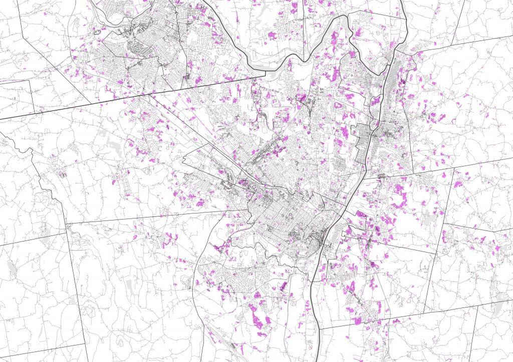
Albany-area Urbanization between 2001 and 2019
Purple area represents Urbanization between 2001 and 2019, from the NLCD Land Cover Change Index, Type 3.

Purple area represents Urbanization between 2001 and 2019, from the NLCD Land Cover Change Index, Type 3.
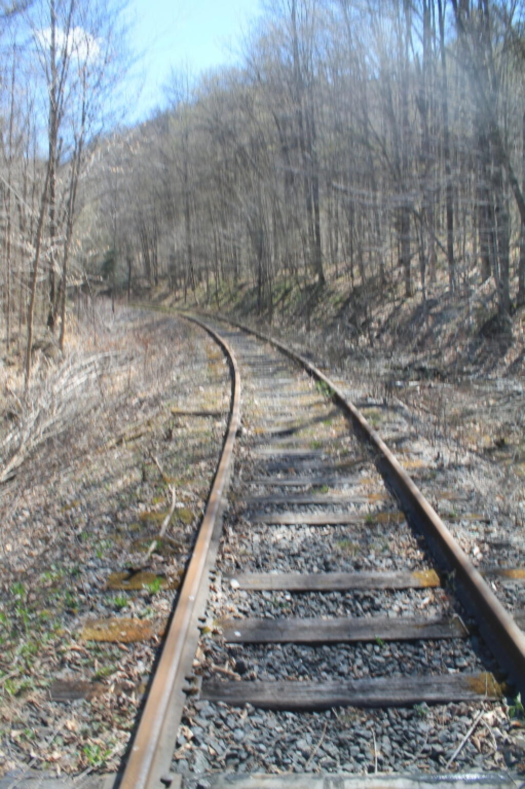
Hiking down to the Hudson.
Taken on Saturday May 4, 2013 at Blue Ledges.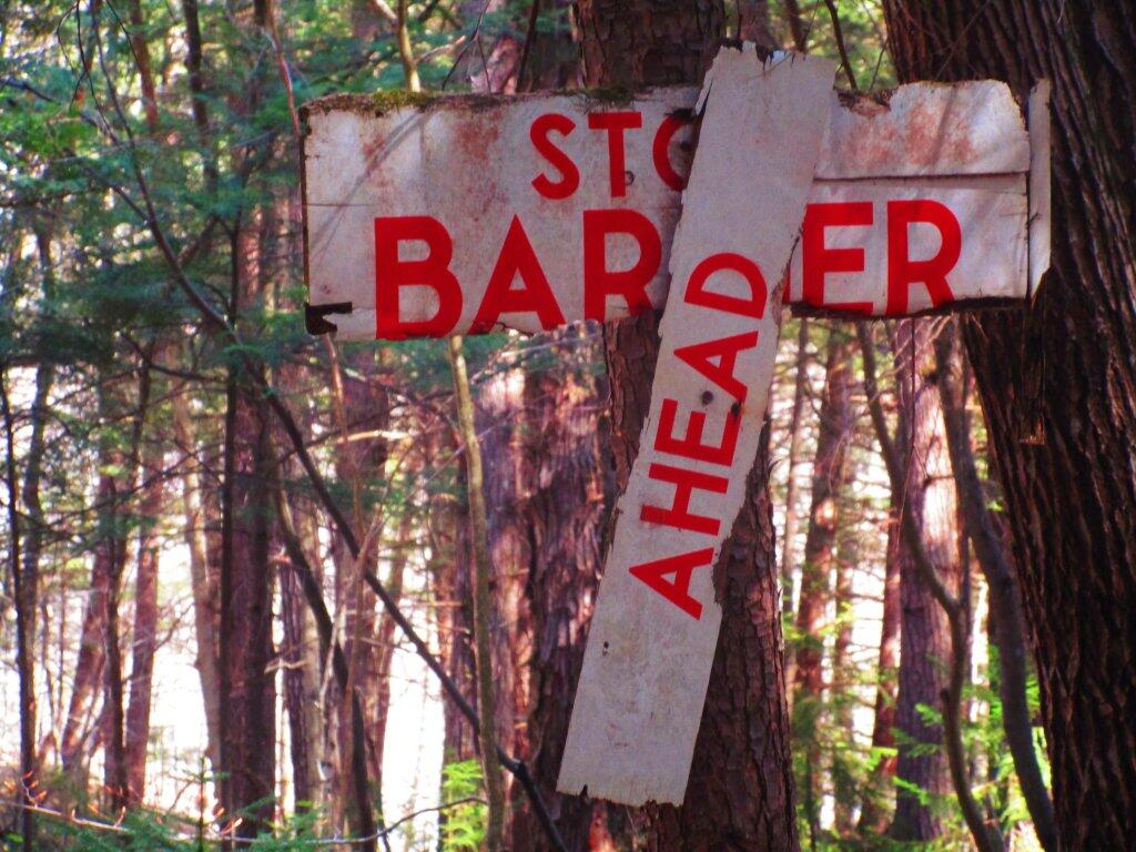
This Stop Barrier Ahead sign has seen better days.
Taken on Sunday May 3, 2020 at Jessup River Wild Forest.
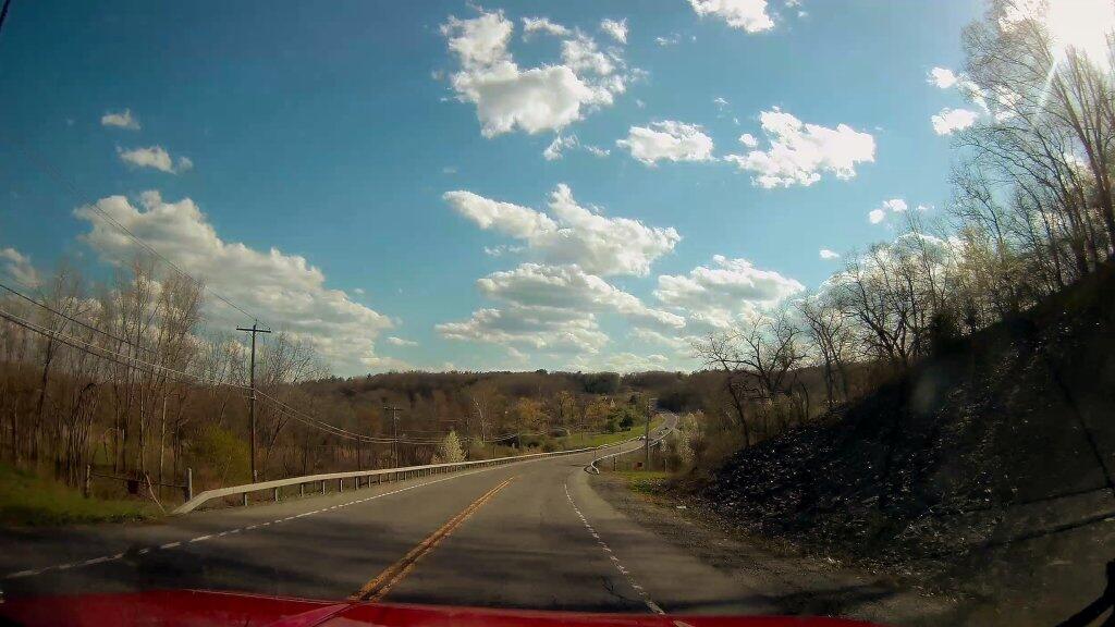
Spring is definately starting to green things up - abit late - as I drove over the Normans Kill on State Farm Road.
Crossing the Normanskill on a beautiful spring day.