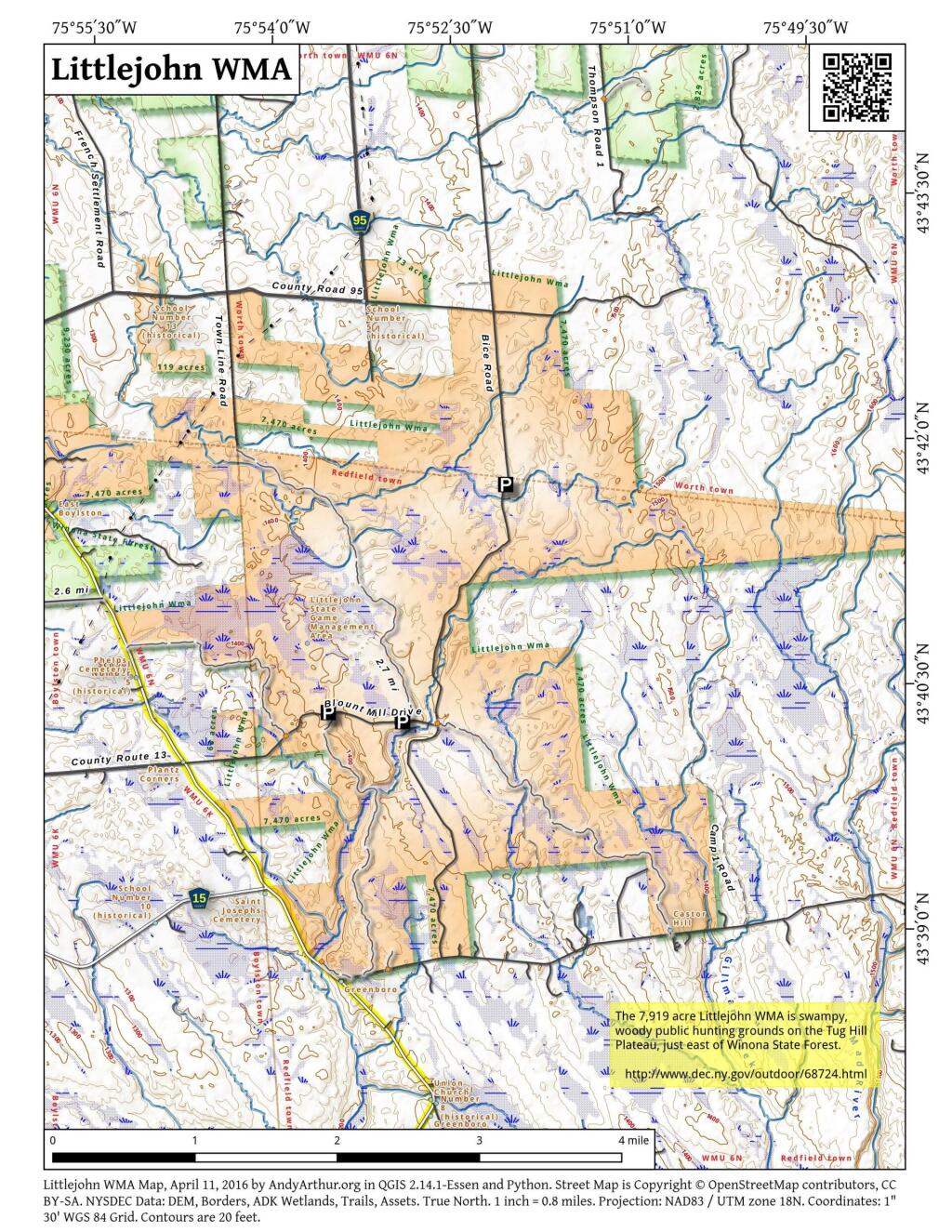
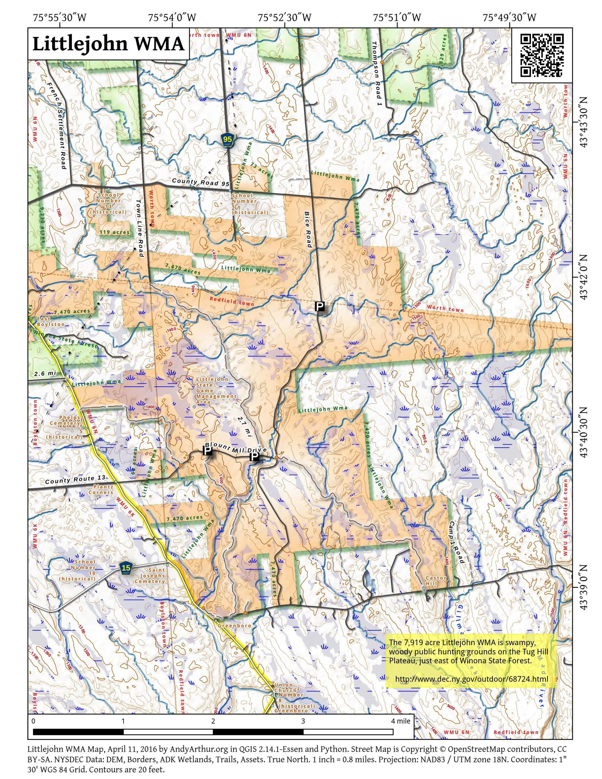
Map: Littlejohn WMA
Download a High Resolution JPEG Image of the Littlejohn WMA or an Adobe Acrobat Printable PDF of the Littlejohn WMA.

Bookmark my free Interactive GPS Map for your phone:
https://andyarthur.org/ny
... shows your location as a blue dot in relationship to campsites, trails, state land. This online map requires cell service, won't work in remote country, so also bring a paper map.
Free Download of New & Historical USGS 1:24k Topograpic Maps
Interactive maps with backcountry and roadside camping: New York, Pennsylvania, West Virginia & Vermont. List of NYS DEC Lean-Tos and Firetowers.
Google Spreadsheet with Roadside, Primitive and Pay Campsites
More about Tug Hill...
Maps and Interactives
Winona State Forest
Wilds of the Tug Hill Plateau
Tug Hill Plateau
Tug Hill
Sand Bay State Forest – Bonaparte Cave State Forest
Inman Gulf
Boonville Gorge – Pixley Falls
Tug Hill Valley
Pixley Falls-area
Southern Tug Hill
Tug Hill State Forest (North)
Tug Hill State Forest (Inman Gulf Area)
Littlejohn WMA
Deer Creek Marsh Wildlife Management Area
... photos, maps and other content from from Tug Hill.