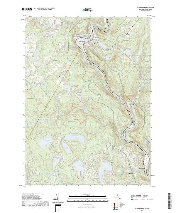
Search Results for: hector new york

USGS Topographic Maps – Putnam to Suffolk

Counties: Albany to Delaware / Dutchess to Livingston / Madison to Otsego / Putnam to Suffolk / Sullivan to Yates

Browse Topographic Maps: Full State / Historical USGS Topographic Maps

Putnam County

PDF (50-60 MB Download) Historical USGS Topo Maps State Lands (Links to DEC Website) Towns (Percent of Town’s Area)
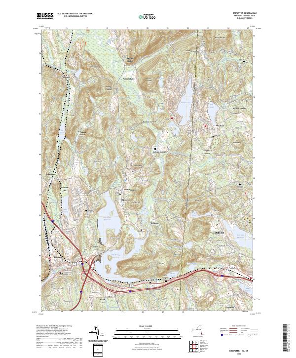
Current Brewster GeoPDF Map
1943 Map No. 123002, 1958 Map No. 123007, 1958 Map No. 123008, 1958 Map No. 123009, 1958 Map No. 137128, 1958 Map No. 137129 Great Swamp WMA, Bog Brook Unique Area, Cranberry Mountain WMA Patterson (52%), Southeast (62%)
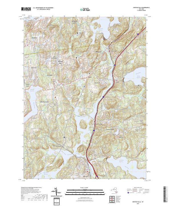
Current Croton Falls GeoPDF Map
1944 Map No. 137748, 1960 Map No. 137197, 1960 Map No. 137749, 1960 Map No. 137750, 1960 Map No. 137751 NA Bedford (20%), Carmel (20%), Lewisboro (22%), North Salem (32%), Somers (74%), Southeast (6%)
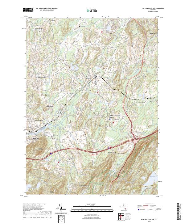
Current Hopewell Junction GeoPDF Map
1957 Map No. 129768, 1957 Map No. 129769, 1957 Map No. 129770, 1981 Map No. 129767 NA Beekman (1%), East Fishkill (74%), Fishkill (14%), Kent (2%), Wappinger (27%)
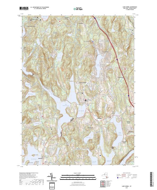
Current Lake Carmel GeoPDF Map
1943 Map No. 130161, 1960 Map No. 130165, 1960 Map No. 130166, 1960 Map No. 130167, 1960 Map No. 130168 White Pond Multiple Use Area, Nimham Mountain Multiple Use Area, Big Buck Mountain Multiple Use Area Carmel (50%), Kent (53%), Patterson (17%), Southeast (21%)
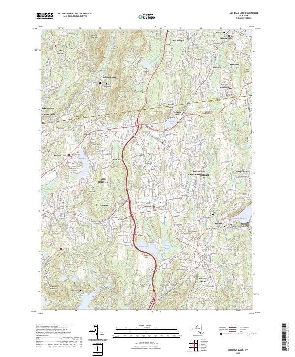
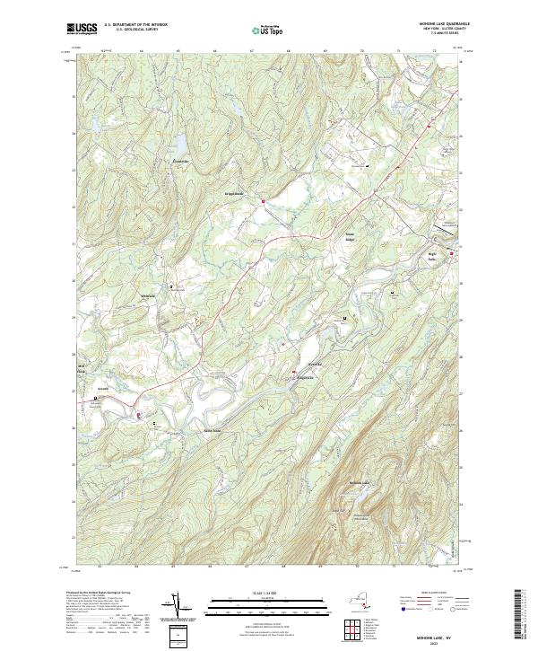
Current Mohegan Lake GeoPDF Map
1956 Map No. 130593, 1956 Map No. 130594, 1956 Map No. 130595, 1956 Map No. 130596, 1956 Map No. 137454 Salt Hill State Forest Carmel (13%), Cortlandt (12%), Putnam Valley (25%), Somers (23%), Yorktown (67%)
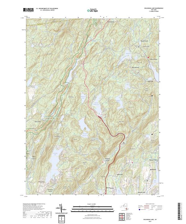
Current Oscawana Lake GeoPDF Map
1956 Map No. 135907, 1956 Map No. 135908, 1956 Map No. 135909, 1956 Map No. 137493 California Hill State Forest Carmel (17%), East Fishkill (0%), Fishkill (1%), Kent (35%), Philipstown (13%), Putnam Valley (62%)
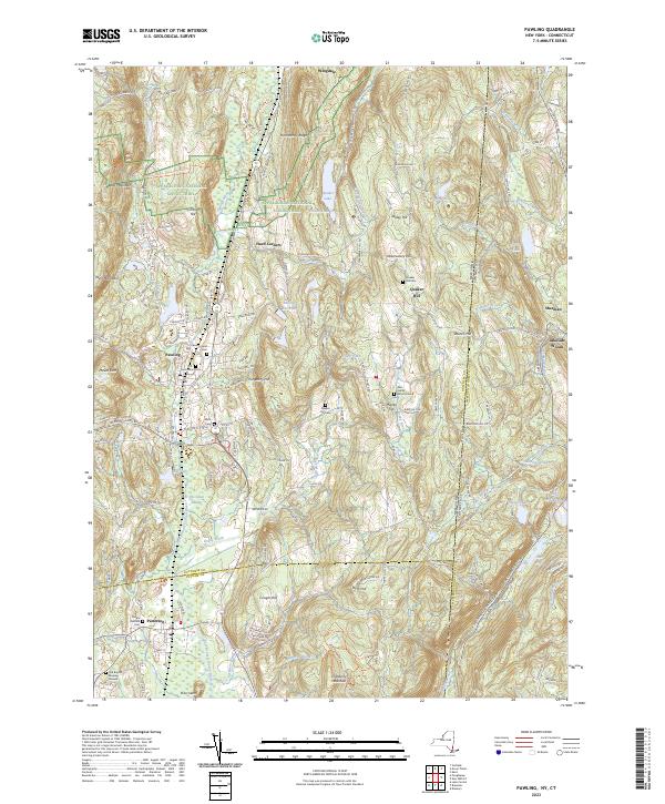
Current Pawling GeoPDF Map
1945 Map No. 135979, 1958 Map No. 135980, 1958 Map No. 135981, 1958 Map No. 135982, 1958 Map No. 136773, 1998 Map No. 136774 West Mountain State Forest, Great Swamp WMA, Cranberry Mountain WMA Dover (7%), Patterson (26%), Pawling (70%)
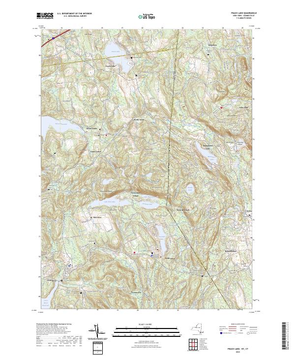
Current Peach Lake GeoPDF Map
1945 Map No. 135984, 1958 Map No. 135985, 1958 Map No. 135986, 1958 Map No. 135987, 1958 Map No. 135988, 1958 Map No. 135989, 1958 Map No. 136775, 1958 Map No. 136776, 1998 Map No. 136777 NA Bedford (1%), Lewisboro (56%), North Salem (68%), Pound Ridge (7%), Southeast (10%)
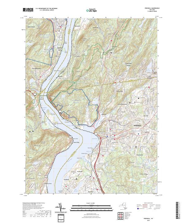
Current Peekskill GeoPDF Map
1947 Map No. 128944, 1957 Map No. 128946, 1957 Map No. 128948, 1957 Map No. 128949, 1957 Map No. 136783, 1957 Map No. 136784, 1957 Map No. 136785 NA Cortlandt (40%), Highlands (20%), Peekskill city (100%), Philipstown (24%), Putnam Valley (6%), Stony Point (28%)
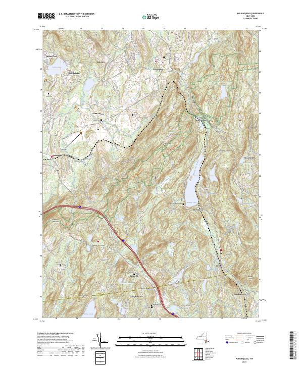
Current Poughquag GeoPDF Map
1948 Map No. 129160, 1948 Map No. 129161, 1960 Map No. 129162, 1960 Map No. 129163, 1960 Map No. 129164, 1960 Map No. 136833 White Pond Multiple Use Area, Depot Hill Multiple Use Area, West Mountain State Forest, Big Buck Mountain Multiple Use Area, Sylvan Lake Waterway Access Beekman (72%), Dover (0%), East Fishkill (24%), Kent (10%), Patterson (5%), Pawling (30%)
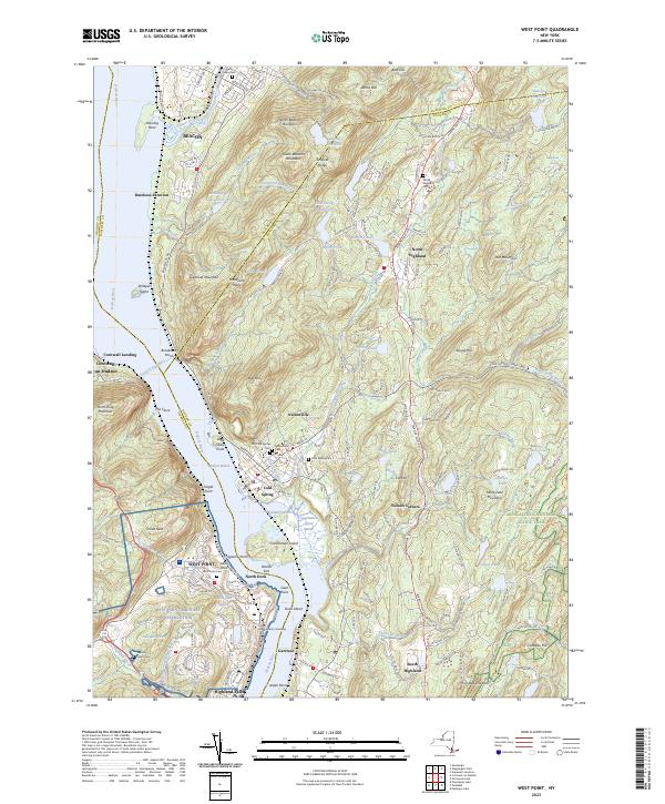
Current West Point GeoPDF Map
1941 Map No. 140199, 1947 Map No. 140198, 1957 Map No. 137014, 1957 Map No. 140200, 1957 Map No. 140201, 1957 Map No. 140202 NA Beacon city (36%), Cornwall (8%), Fishkill (29%), Highlands (21%), New Windsor (0%), Newburgh city (4%), Philipstown (63%), Putnam Valley (7%)

Queens County

PDF (50-60 MB Download) Historical USGS Topo Maps State Lands (Links to DEC Website) Towns (Percent of Town’s Area)
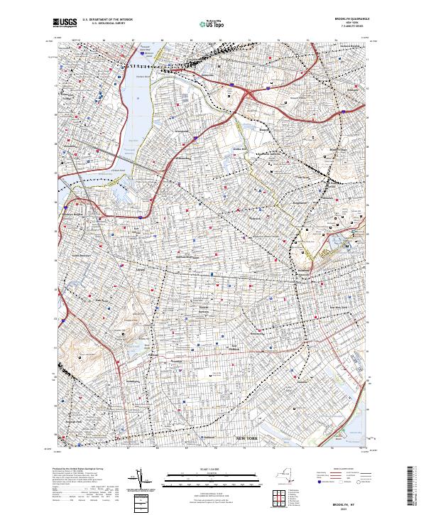
Current Brooklyn GeoPDF Map
1947 Map No. 123124, 1956 Map No. 123127, 1956 Map No. 123128, 1967 Map No. 123129, 1967 Map No. 123130, 1967 Map No. 123131, 1967 Map No. 123132, 1995 Map No. 137132 NA Brooklyn borough (47%), Manhattan borough (18%), Queens borough (10%)
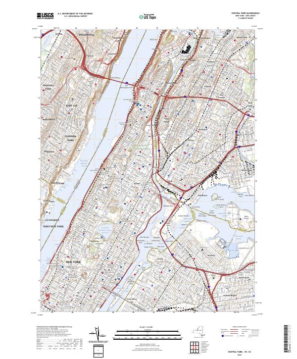
Current Central Park GeoPDF Map
1947 Map No. 122894, 1956 Map No. 122895, 1956 Map No. 122896, 1966 Map No. 122897, 1966 Map No. 122898, 1966 Map No. 122899, 1966 Map No. 122900, 1995 Map No. 137165 Bronx River Trail Bronx borough (31%), Manhattan borough (68%), Queens borough (7%)
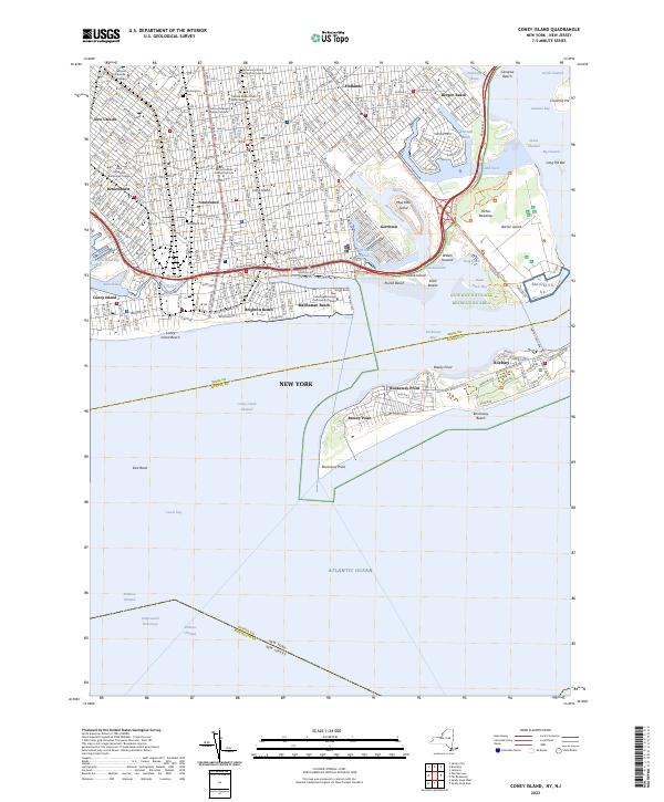
Current Coney Island GeoPDF Map
1947 Map No. 137694, 1955 Map No. 137695, 1966 Map No. 137182, 1966 Map No. 137183, 1966 Map No. 137696, 1966 Map No. 137698, 1995 Map No. 137185 NA Brooklyn borough (29%), Queens borough (3%)
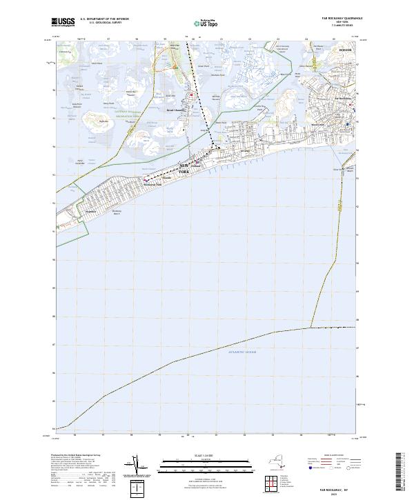
Current Far Rockaway GeoPDF Map
1947 Map No. 138136, 1954 Map No. 138137, 1969 Map No. 138139, 1969 Map No. 138140 Norton Basin Natural Resource Area Brooklyn borough (7%), Hempstead (1%), Queens borough (11%)
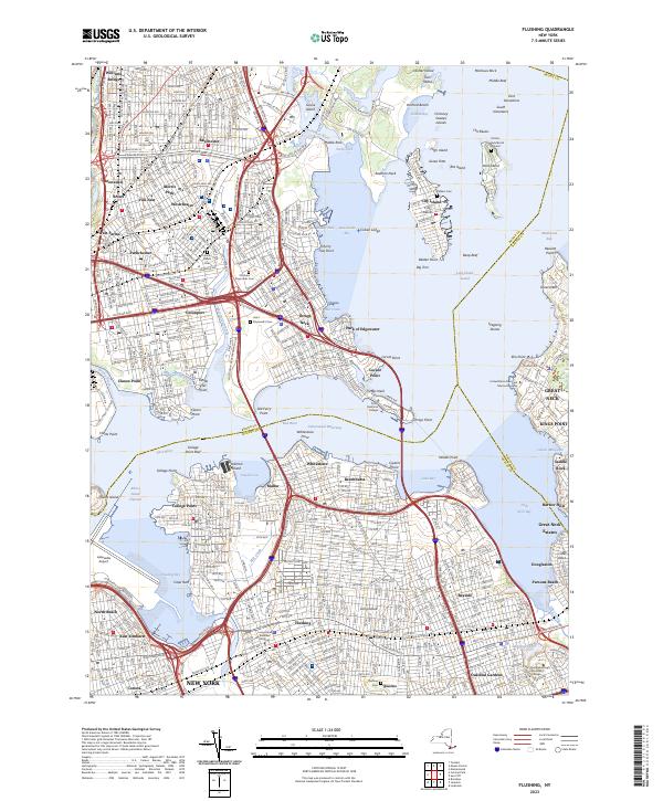
Current Flushing GeoPDF Map
1947 Map No. 138246, 1947 Map No. 138247, 1955 Map No. 138248, 1955 Map No. 138249, 1966 Map No. 137330, 1966 Map No. 138250, 1966 Map No. 138251, 1966 Map No. 138252, 1995 Map No. 137332 Bronx River Trail Bronx borough (42%), North Hempstead (2%), Queens borough (17%)
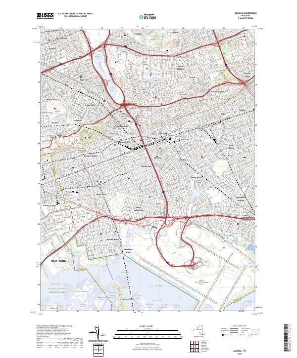
Current Jamaica GeoPDF Map
1947 Map No. 129963, 1957 Map No. 129966, 1966 Map No. 129967, 1966 Map No. 137279, 1979 Map No. 129968, 1994 Map No. 137282 NA Brooklyn borough (6%), Hempstead (0%), Queens borough (41%)
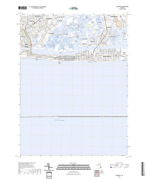
Current Lawrence GeoPDF Map
1947 Map No. 130229, 1954 Map No. 130230, 1966 Map No. 130231, 1966 Map No. 130232, 1966 Map No. 130233 NA Hempstead (11%), Long Beach city (100%), Queens borough (1%)
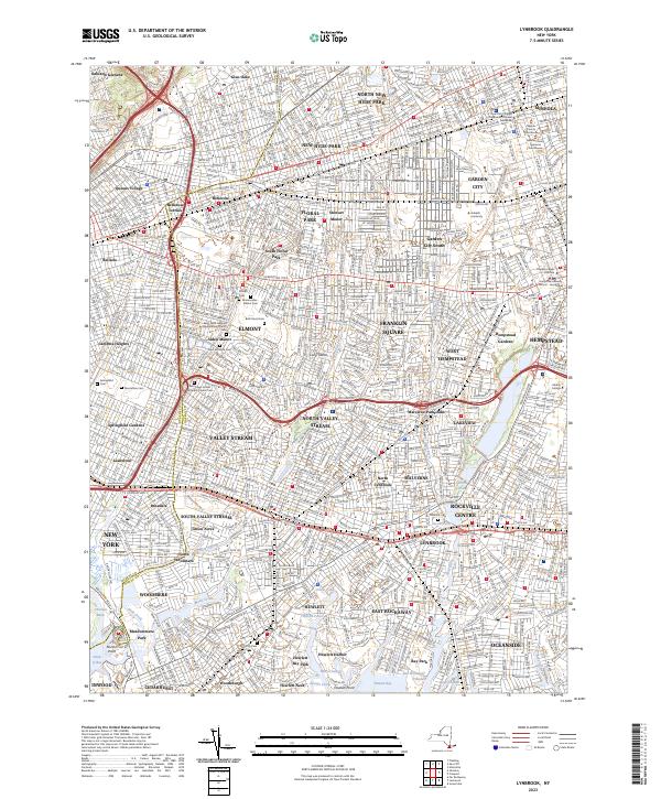
Current Lynbrook GeoPDF Map
1947 Map No. 130380, 1954 Map No. 130381, 1954 Map No. 130382, 1969 Map No. 130383, 1969 Map No. 191791 Oceanside Landing Waterway Access Site, Inwood Bay State Tidal Wetland Hempstead (30%), North Hempstead (7%), Queens borough (9%)
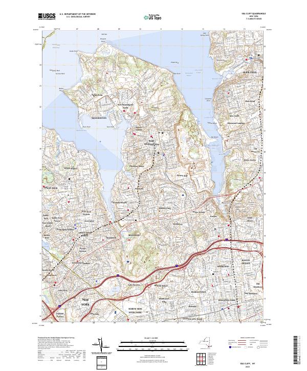
Current Sea Cliff GeoPDF Map
1947 Map No. 136120, 1954 Map No. 136115, 1954 Map No. 136116, 1968 Map No. 136117, 1968 Map No. 136118 Udall’s Cove And Ravine Natural Resource Area, Udall’s Cove And Ravine Natural Resource Area Glen Cove city (36%), North Hempstead (70%), Oyster Bay (2%), Queens borough (2%)

Rensselaer County

PDF (50-60 MB Download) Historical USGS Topo Maps State Lands (Links to DEC Website) Towns (Percent of Town’s Area)
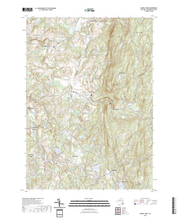
Current Averill Park GeoPDF Map
1953 Map No. 136750, 1953 Map No. 136751, 1953 Map No. 136752, 1953 Map No. 136753 Poesten Kill Fishing Access Brunswick (30%), Grafton (10%), North Greenbush (9%), Poestenkill (65%), Sand Lake (39%)
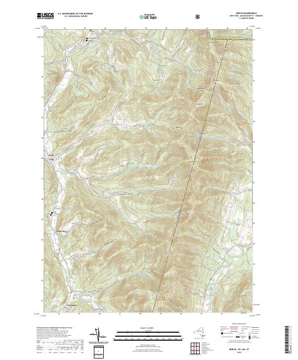
Current Berlin GeoPDF Map
1944 Map No. 123255, 1960 Map No. 123261, 1960 Map No. 123262, 1973 Map No. 123263, 1973 Map No. 123264, 1973 Map No. 350003, 1997 Map No. 137103 Berlin State Forest, Taconic Ridge State Forest Berlin (46%), Petersburgh (27%)
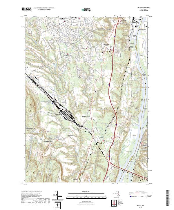
Current Delmar GeoPDF Map
1953 Map No. 137861, 1953 Map No. 137862, 1953 Map No. 137863, 1953 Map No. 137865, 1953 Map No. 137866, 1978 Map No. 137864 Coeymans Creek WMA, Onesquethaw Creek Fishing Access Albany city (2%), Bethlehem (81%), Coeymans (19%), East Greenbush (5%), New Scotland (0%), Rensselaer city (8%), Schodack (4%)
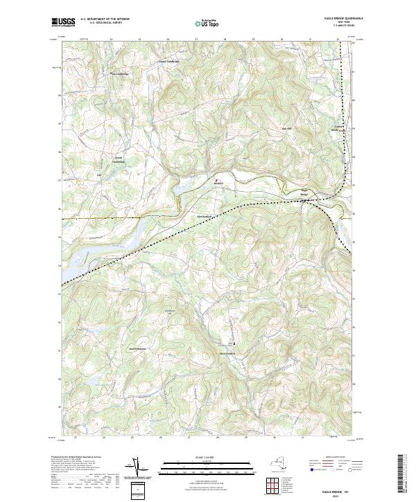
Current Eagle Bridge GeoPDF Map
1944 Map No. 137939, 1944 Map No. 137940, 1944 Map No. 137987 Hoosick River Waterway Access Cambridge (46%), Easton (1%), Hoosick (25%), Pittstown (24%), Schaghticoke (2%), White Creek (10%)
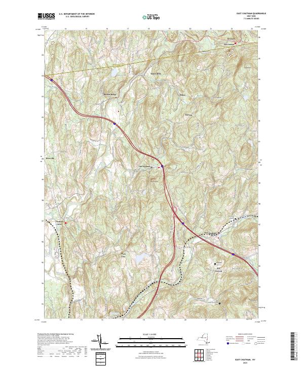
Current East Chatham GeoPDF Map
1953 Map No. 137998, 1953 Map No. 137999, 1953 Map No. 138000 NA Canaan (13%), Chatham (76%), Nassau (12%), New Lebanon (11%), Schodack (0%), Stephentown (0%)
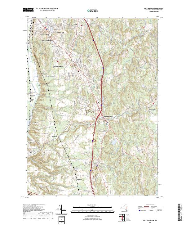
Current East Greenbush GeoPDF Map
1953 Map No. 138003, 1953 Map No. 138004, 1953 Map No. 138006, 1953 Map No. 138007, 1978 Map No. 138005 NA East Greenbush (67%), Rensselaer city (5%), Sand Lake (4%), Schodack (58%)
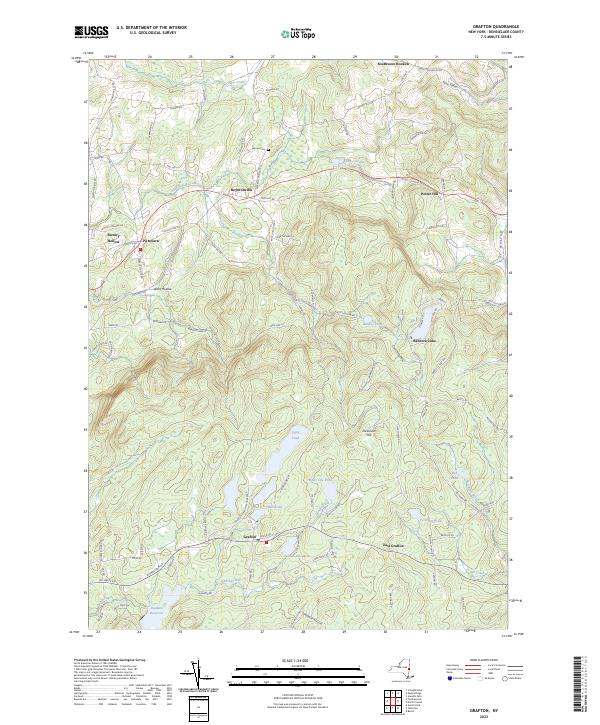
Current Grafton GeoPDF Map
1954 Map No. 129593, 1954 Map No. 129594, 1954 Map No. 129596, 1978 Map No. 129595 Pittstown State Forest Grafton (60%), Hoosick (13%), Petersburgh (6%), Pittstown (25%)
Current Hancock MA-NY GeoPDF Map
NA Taconic Ridge State Forest Berlin (4%), New Lebanon (2%), Stephentown (27%)
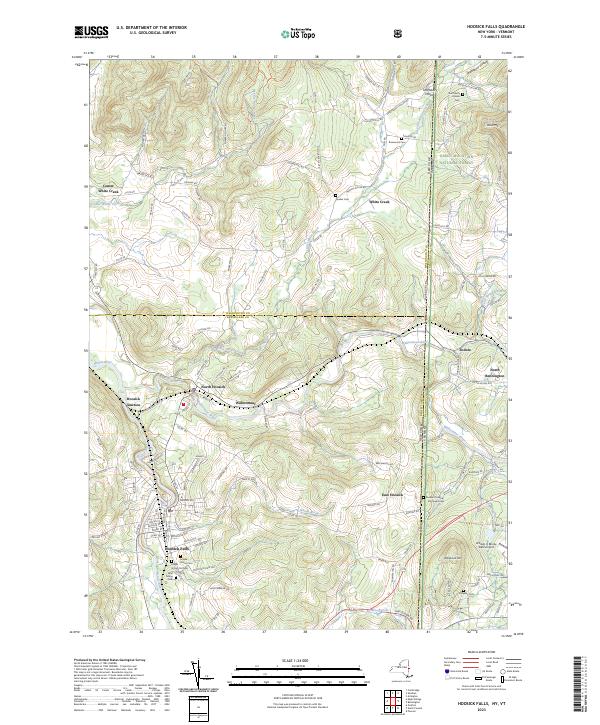
Current Hoosick Falls GeoPDF Map
1943 Map No. 129760, 1943 Map No. 129761, 1943 Map No. 129762, 1943 Map No. 129763, 1995 Map No. 137261 Chestnut Woods State Forest, Mount Tom State Forest Hoosick (38%), White Creek (42%)
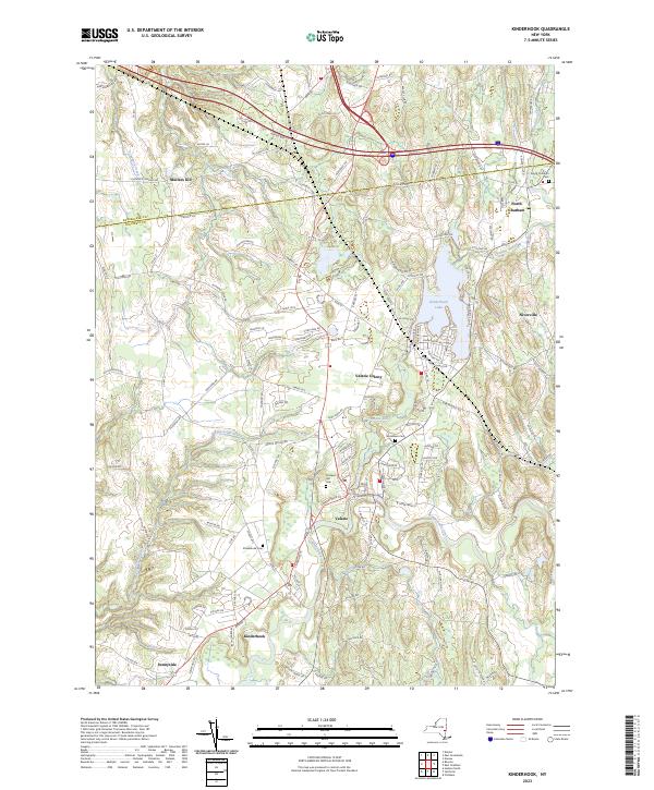
Current Kinderhook GeoPDF Map
1953 Map No. 130032, 1953 Map No. 130033, 1980 Map No. 130034 NA Chatham (14%), Kinderhook (81%), Nassau (1%), Schodack (18%), Stuyvesant (37%)
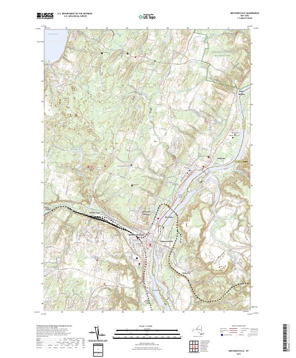
Current Mechanicville GeoPDF Map
1954 Map No. 130513, 1954 Map No. 130514, 1954 Map No. 130515, 1954 Map No. 137440 NA Easton (1%), Halfmoon (27%), Malta (1%), Mechanicville city (100%), Schaghticoke (22%), Stillwater (75%)
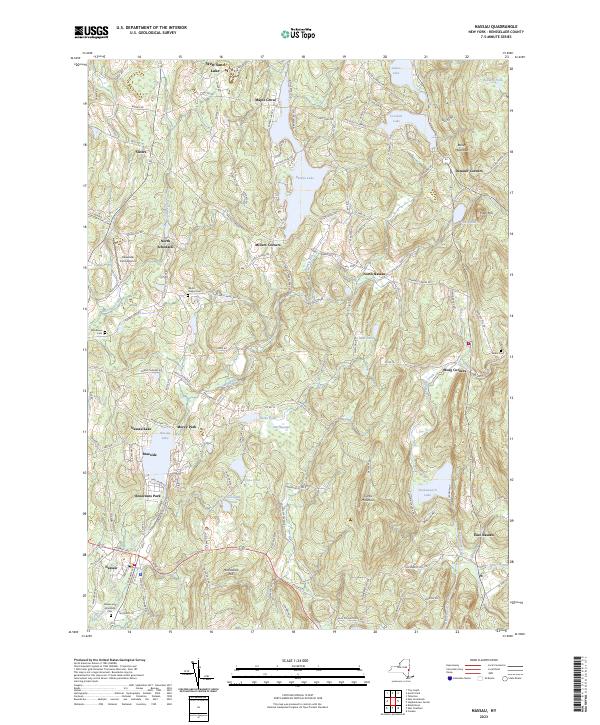
Current Nassau GeoPDF Map
1953 Map No. 130763, 1953 Map No. 130764, 1953 Map No. 130765, 1953 Map No. 130766 Kinderhook Creek Fishing Access Nassau (76%), Sand Lake (33%), Schodack (13%), Stephentown (0%)
Current North Pownal GeoPDF Map
1954 Map No. 128766, 1954 Map No. 128767 Tibbitts State Forest, Taconic Ridge State Forest Grafton (0%), Hoosick (23%), Petersburgh (62%)
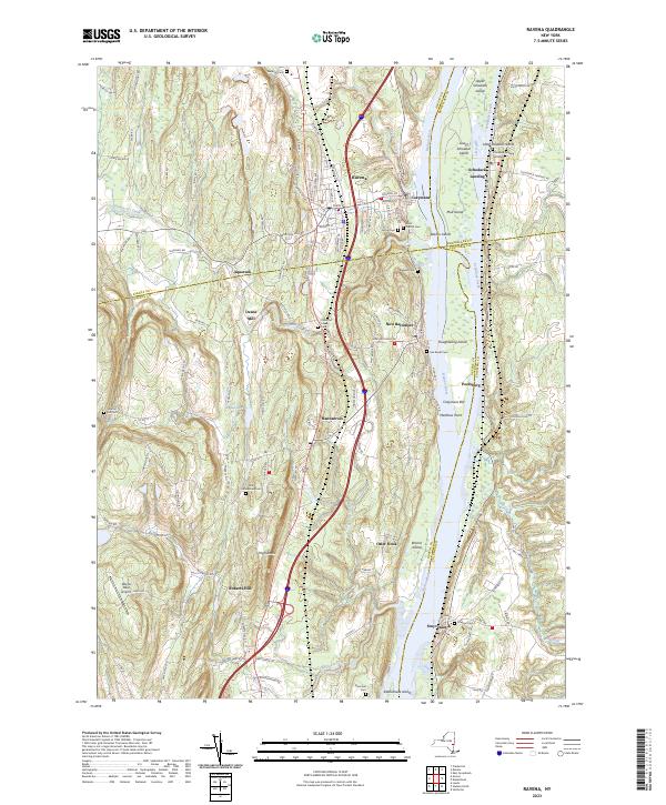
Current Ravena GeoPDF Map
1953 Map No. 136024, 1953 Map No. 136025, 1953 Map No. 136026 Bronck Island, Hannacroix Unique Area, Van Schaak Unique Area, New Baltimore FP Detached Parcel, Nutten Hook State Tidal Wetland, Coeymans Creek WMA Coeymans (25%), Coxsackie (3%), New Baltimore (61%), Schodack (7%), Stuyvesant (38%)
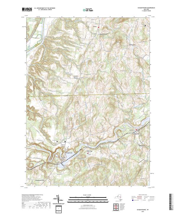
Current Schaghticoke GeoPDF Map
1954 Map No. 129418, 1954 Map No. 129419, 1954 Map No. 136897, 1954 Map No. 136898 NA Cambridge (5%), Easton (35%), Pittstown (15%), Schaghticoke (38%), Stillwater (3%)
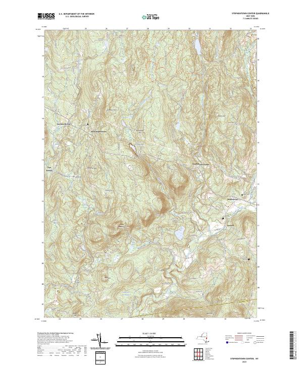
Current Stephentown Center GeoPDF Map
1945 Map No. 136935, 1945 Map No. 136936, 1945 Map No. 139895, 1945 Map No. 139896 Capital District WMA Berlin (8%), Nassau (11%), New Lebanon (3%), Sand Lake (7%), Stephentown (72%)
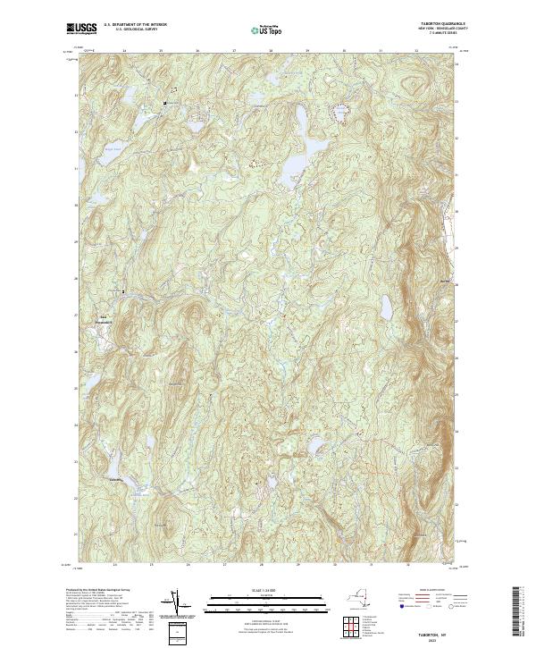
Current Taborton GeoPDF Map
1946 Map No. 139966, 1946 Map No. 139967, 1946 Map No. 139968 Cowee State Forest, Capital District WMA Berlin (42%), Grafton (22%), Petersburgh (5%), Poestenkill (35%), Sand Lake (16%)
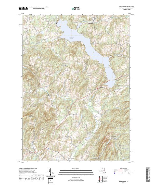
Current Tomhannock GeoPDF Map
1954 Map No. 139329, 1954 Map No. 139330 Pittstown State Forest Brunswick (45%), Grafton (8%), Pittstown (36%), Schaghticoke (15%)
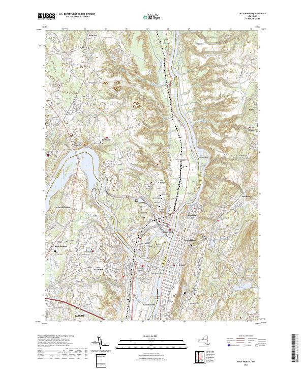
Current Troy North GeoPDF Map
1954 Map No. 139377, 1954 Map No. 139378, 1954 Map No. 139379, 1954 Map No. 139381, 1978 Map No. 139380 NA Brunswick (12%), Cohoes city (100%), Colonie (12%), Green Island (42%), Halfmoon (45%), Schaghticoke (23%), Troy city (30%), Waterford (100%)
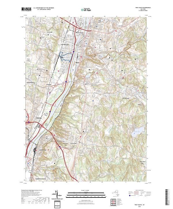
Current Troy South GeoPDF Map
1953 Map No. 139382, 1953 Map No. 139383, 1953 Map No. 139384, 1953 Map No. 139386, 1953 Map No. 139387, 1978 Map No. 139385 NA Albany city (8%), Brunswick (12%), Colonie (18%), East Greenbush (28%), Green Island (58%), North Greenbush (91%), Rensselaer city (84%), Sand Lake (1%), Troy city (70%), Watervliet city (100%)

Richmond County

Rockland County

PDF (50-60 MB Download) Historical USGS Topo Maps State Lands (Links to DEC Website) Towns (Percent of Town’s Area)
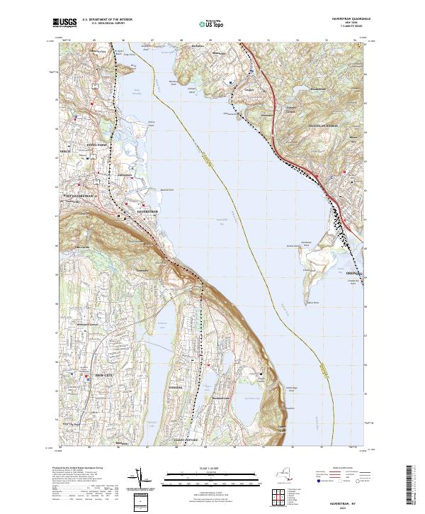
Current Haverstraw GeoPDF Map
1938 Map No. 139675, 1955 Map No. 129836, 1955 Map No. 129837, 1967 Map No. 129835, 1979 Map No. 129834 Minisceongo Creek Err, Montrose Point State Forest Clarkstown (45%), Cortlandt (36%), Haverstraw (31%), Mount Pleasant (0%), Ossining (20%), Stony Point (15%)
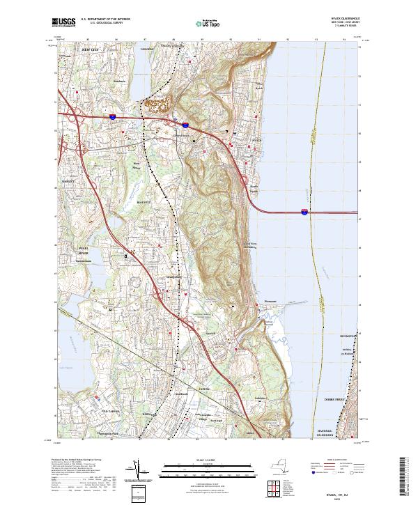
Current Nyack GeoPDF Map
1937 Map No. 128835, 1940 Map No. 128836, 1957 Map No. 128843, 1957 Map No. 128844, 1967 Map No. 128833, 1967 Map No. 128845, 1967 Map No. 128846 Piermont Marsh State Tidal Wetland Clarkstown (31%), Greenburgh (13%), Mount Pleasant (10%), Orangetown (87%)
Current Park Ridge GeoPDF Map
NA NA Clarkstown (13%), Orangetown (13%), Ramapo (25%)
Current Peekskill GeoPDF Map
1947 Map No. 128944, 1957 Map No. 128946, 1957 Map No. 128948, 1957 Map No. 128949, 1957 Map No. 136783, 1957 Map No. 136784, 1957 Map No. 136785 NA Cortlandt (40%), Highlands (20%), Peekskill city (100%), Philipstown (24%), Putnam Valley (6%), Stony Point (28%)
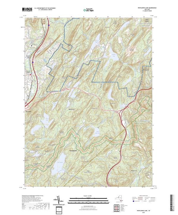
Current Popolopen Lake GeoPDF Map
1946 Map No. 129072, 1947 Map No. 129074, 1957 Map No. 129075, 1957 Map No. 129076, 1957 Map No. 129077, 1957 Map No. 129078, 1957 Map No. 129079, 1994 Map No. 136820 NA Cornwall (1%), Highlands (47%), Stony Point (30%), Tuxedo (11%), Woodbury (69%)
Current Ramsey GeoPDF Map
NA NA Ramapo (5%)
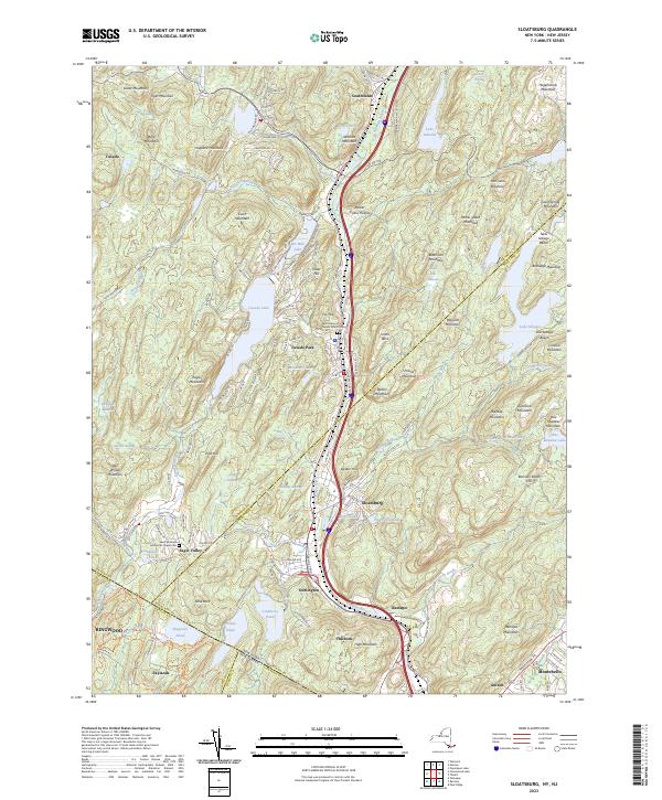
Current Sloatsburg GeoPDF Map
1955 Map No. 136181, 1955 Map No. 136182 NA Haverstraw (7%), Ramapo (31%), Tuxedo (62%), Warwick (1%)
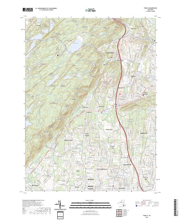
Current Thiells GeoPDF Map
1955 Map No. 136954, 1955 Map No. 140002, 1955 Map No. 140003, 1955 Map No. 140004 NA Clarkstown (11%), Haverstraw (62%), Ramapo (38%), Stony Point (27%), Tuxedo (4%)

Saratoga County

PDF (50-60 MB Download) Historical USGS Topo Maps State Lands (Links to DEC Website) Towns (Percent of Town’s Area)
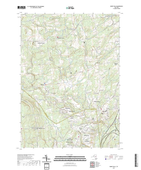
Current Burnt Hills GeoPDF Map
1954 Map No. 123058, 1954 Map No. 123059, 1954 Map No. 123060, 1954 Map No. 123061, 1954 Map No. 137138 Saratoga FP Detached Parcel Ballston (56%), Charlton (63%), Clifton Park (4%), Galway (4%), Glenville (24%), Milton (3%)
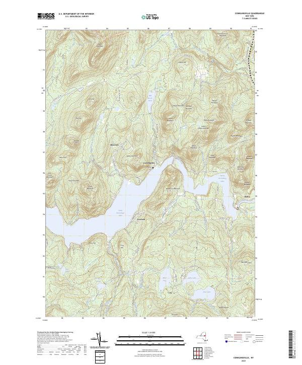
Current Conklingville GeoPDF Map
1966 Map No. 137186, 1966 Map No. 137699 Stewarts Bridge Reservoir Fishing Access, Wilcox Lake Wild Forest Corinth (14%), Day (30%), Edinburg (1%), Hadley (61%), Lake Luzerne (0%)
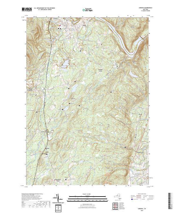
Current Corinth GeoPDF Map
1935 Map No. 137818, 1968 Map No. 137819 Hudson River Waterway Access, Saratoga FP Detached Parcel, Warren FP Detached Parcel, Daniels Road State Forest, Lincoln Mountain State Forest Corinth (37%), Greenfield (32%), Lake Luzerne (5%), Moreau (2%), Wilton (22%)
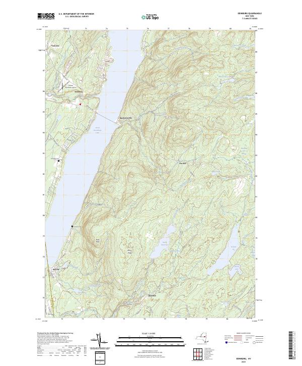
Current Edinburg GeoPDF Map
1945 Map No. 138037, 1946 Map No. 138038, 1970 Map No. 138039, 1970 Map No. 138040, 1997 Map No. 137350 Wilcox Lake Wild Forest Broadalbin (1%), Edinburg (59%), Northampton (0%), Providence (32%)
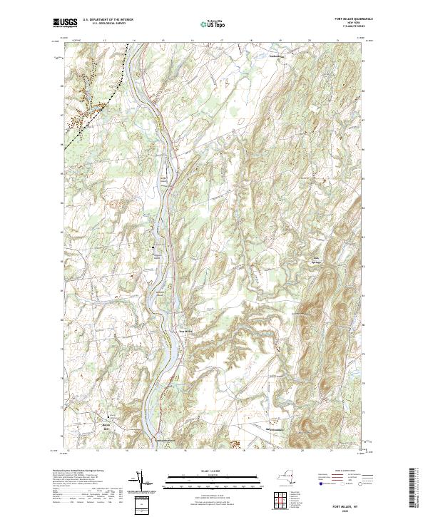
Current Fort Miller GeoPDF Map
1935 Map No. 139555 Washington County Grasslands Argyle (16%), Fort Edward (65%), Greenwich (23%), Moreau (10%), Northumberland (38%)
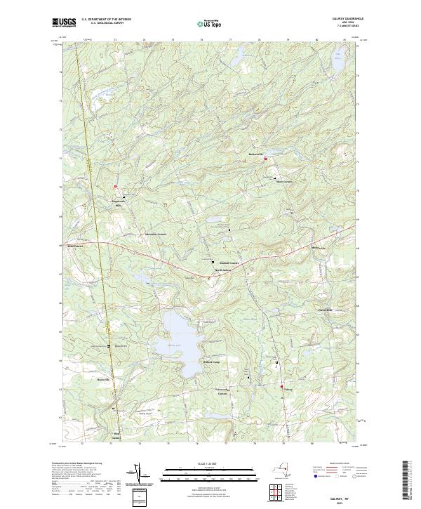
Current Galway GeoPDF Map
1945 Map No. 138100, 1970 Map No. 138101 Saratoga FP Detached Parcel, Wilcox Lake Wild Forest Broadalbin (15%), Galway (59%), Perth (3%), Providence (48%)
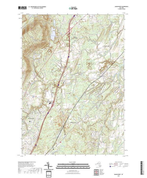
Current Gansevoort GeoPDF Map
1935 Map No. 138104, 1968 Map No. 137217, 1968 Map No. 137218, 1968 Map No. 138106 Saratoga Sand Plains State Forest, Saratoga Sand Plains WMA Corinth (0%), Lake Luzerne (0%), Moreau (44%), Northumberland (48%), Wilton (54%)
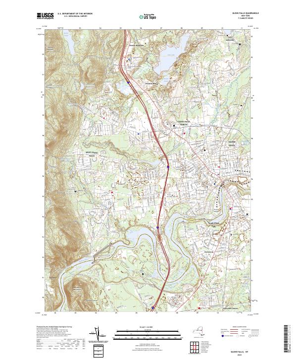
Current Glens Falls GeoPDF Map
1966 Map No. 129551 NA Glens Falls city (94%), Lake George (0%), Lake Luzerne (2%), Moreau (29%), Queensbury (54%)
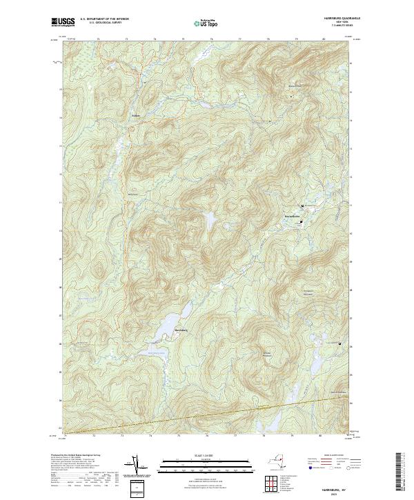
Current Harrisburg GeoPDF Map
NA Wilcox Lake Wild Forest Day (4%), Hadley (0%), Stony Creek (44%), Thurman (17%)
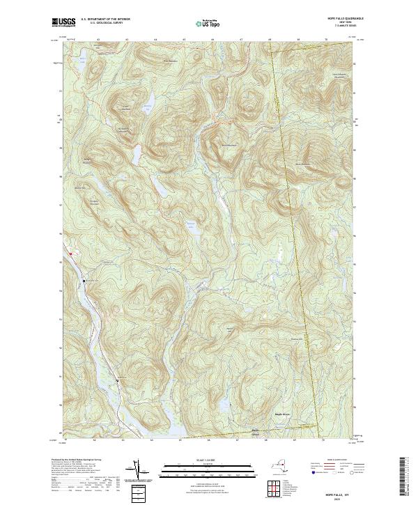
Current Hope Falls GeoPDF Map
NA Silver Lake Wilderness, Shaker Mountain Wild Forest, Wilcox Lake Wild Forest Benson (3%), Day (9%), Edinburg (7%), Hope (83%), Northampton (1%), Stony Creek (0%), Wells (3%)
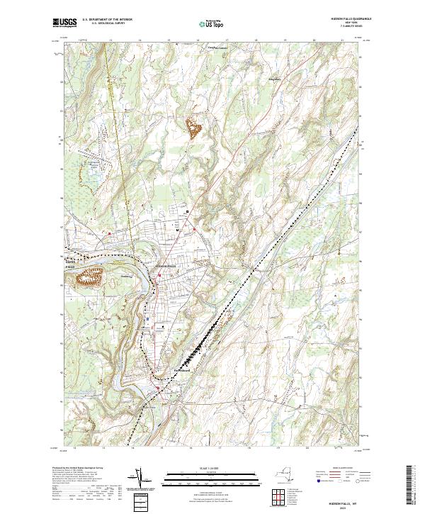
Current Hudson Falls GeoPDF Map
1966 Map No. 129932, 1966 Map No. 129933, 1966 Map No. 129934 Hudson River Boat Launch, Washington County Grasslands Argyle (9%), Fort Edward (35%), Glens Falls city (6%), Kingsbury (69%), Moreau (14%), Queensbury (8%)
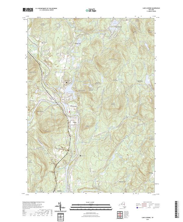
Current Lake Luzerne GeoPDF Map
1968 Map No. 130177, 1968 Map No. 137309, 1968 Map No. 137310 Ralph Road State Forest, Wilcox Lake Wild Forest, Hudson River Special Management Area, Lake George Wild Forest, Upper Hudson River Boat Launch, Luzerne Campground Corinth (7%), Hadley (22%), Lake George (0%), Lake Luzerne (73%), Queensbury (3%)
Current Mechanicville GeoPDF Map
1954 Map No. 130513, 1954 Map No. 130514, 1954 Map No. 130515, 1954 Map No. 137440 NA Easton (1%), Halfmoon (27%), Malta (1%), Mechanicville city (100%), Schaghticoke (22%), Stillwater (75%)
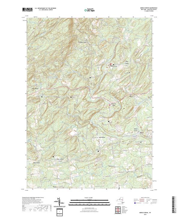
Current Middle Grove GeoPDF Map
1935 Map No. 130544, 1967 Map No. 130545, 1967 Map No. 137443 Kayaderosseras Creek Fishing Access, Daketown State Forest, Middle Grove State Forest Galway (25%), Greenfield (20%), Milton (68%), Providence (12%)
Current Niskayuna GeoPDF Map
1954 Map No. 128733, 1954 Map No. 128734, 1954 Map No. 128735, 1954 Map No. 137464 NA Clifton Park (58%), Colonie (22%), Halfmoon (17%), Niskayuna (48%)
Current Northville GeoPDF Map
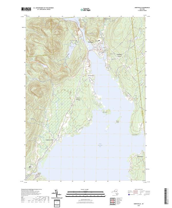
1945 Map No. 128798, 1946 Map No. 128799, 1970 Map No. 128800, 1970 Map No. 128801 Shaker Mountain Wild Forest, Wilcox Lake Wild Forest, Sacandaga River State Boat Launch, Northampton Beach Campground Benson (3%), Broadalbin (9%), Edinburg (3%), Hope (0%), Mayfield (18%), Northampton (99%)
Current Ohmer Mountain GeoPDF Map
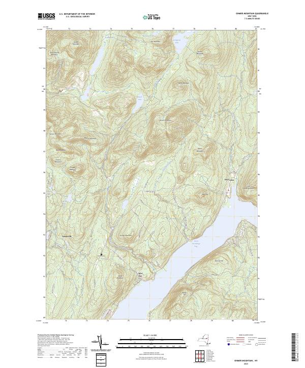
NA Wilcox Lake Wild Forest, Great Sacandaga Lake Boat Launch Day (57%), Edinburg (22%), Stony Creek (0%)
Current Pattersonville GeoPDF Map
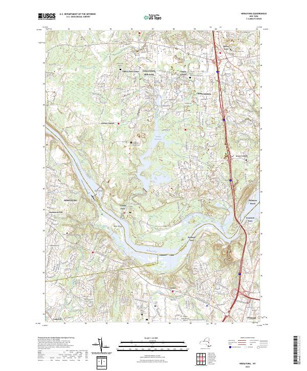
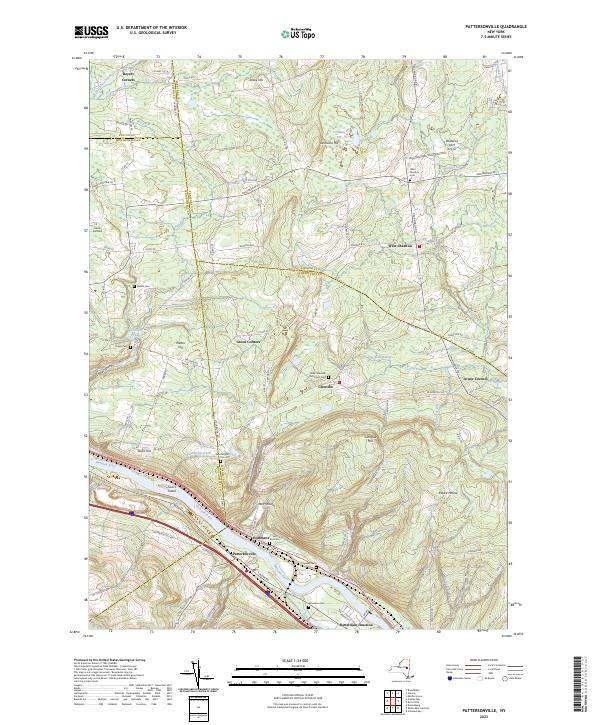
1954 Map No. 135974, 1954 Map No. 135975 NA Amsterdam (30%), Charlton (37%), Duanesburg (0%), Florida (5%), Galway (13%), Glenville (40%), Perth (6%), Princetown (7%), Rotterdam (5%)
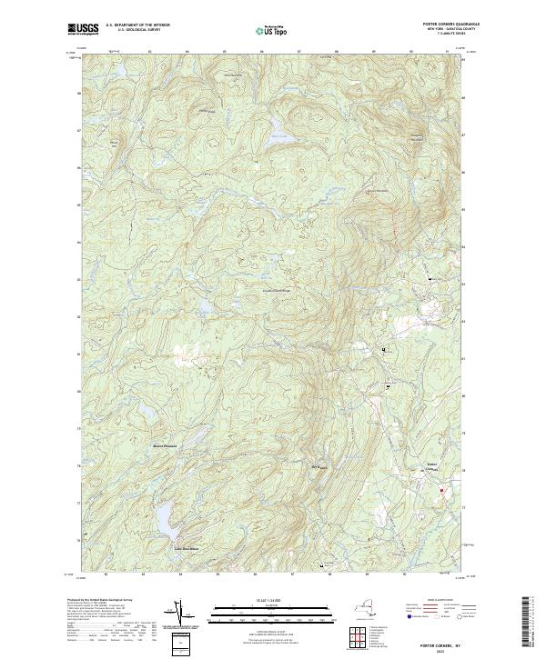
Current Porter Corners GeoPDF Map
1968 Map No. 129132, 1968 Map No. 129133 Saratoga FP Detached Parcel, Lake Desolation State Forest, Wilcox Lake Wild Forest Corinth (43%), Edinburg (8%), Greenfield (30%), Providence (8%)
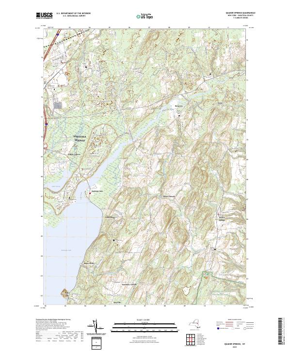
Current Quaker Springs GeoPDF Map
1934 Map No. 135998, 1967 Map No. 135999, 1967 Map No. 136000 Parcel 48 WMA, Saratoga Sand Plains Archery Range, Saratoga Sand Plains WMA Malta (5%), Northumberland (8%), Saratoga Springs city (30%), Saratoga (66%), Stillwater (16%), Wilton (18%)
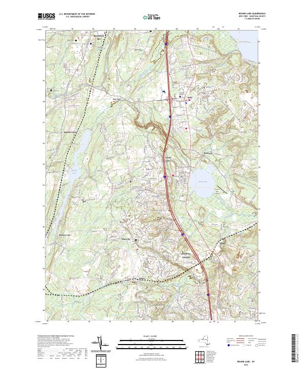
Current Round Lake GeoPDF Map
1954 Map No. 129231, 1954 Map No. 129232, 1954 Map No. 129233 Ushers Road State Forest Ballston (43%), Clifton Park (34%), Halfmoon (11%), Malta (62%), Milton (0%), Stillwater (3%)
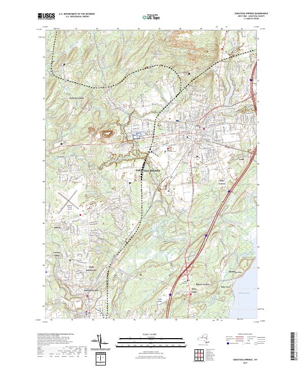
Current Saratoga Springs GeoPDF Map
1934 Map No. 129387, 1967 Map No. 129388, 1967 Map No. 129389 Saratoga Nursery, Kayaderosseras Creek Fishing Access, Daniels Road State Forest Ballston (0%), Greenfield (17%), Malta (32%), Milton (29%), Saratoga Springs city (70%), Stillwater (0%), Wilton (6%)
Current Schaghticoke GeoPDF Map
1954 Map No. 129418, 1954 Map No. 129419, 1954 Map No. 136897, 1954 Map No. 136898 NA Cambridge (5%), Easton (35%), Pittstown (15%), Schaghticoke (38%), Stillwater (3%)
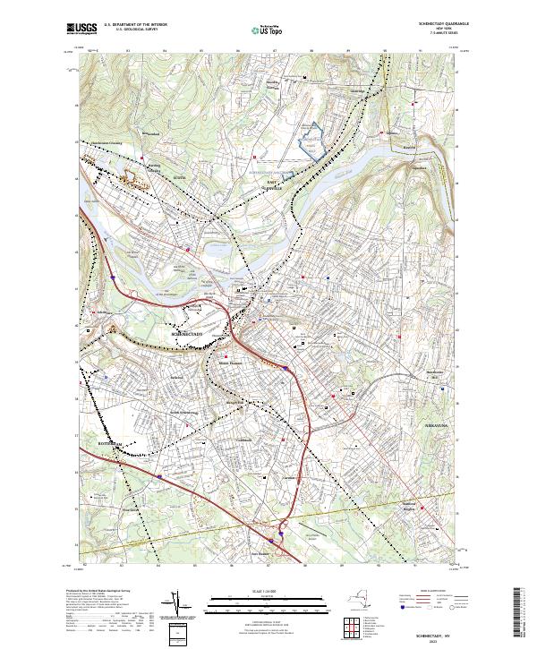
Current Schenectady GeoPDF Map
1954 Map No. 129430, 1954 Map No. 129431, 1954 Map No. 129433, 1954 Map No. 129434 Albany Pine Bush Preserve Clifton Park (4%), Colonie (4%), Glenville (32%), Guilderland (3%), Niskayuna (52%), Princetown (0%), Rotterdam (36%), Schenectady city (100%)
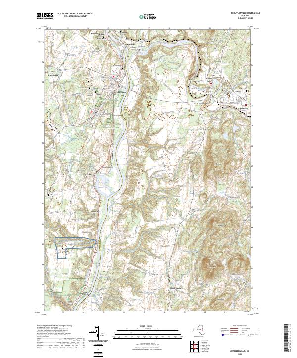
Current Schuylerville GeoPDF Map
1935 Map No. 136111, 1967 Map No. 136112 Victory Mills Easton (50%), Greenwich (12%), Northumberland (6%), Saratoga (34%), Stillwater (3%)
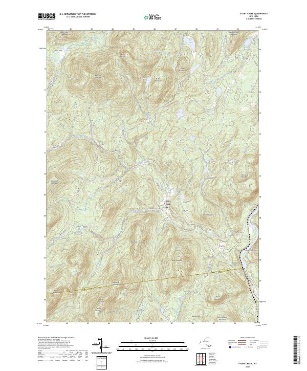
Current Stony Creek GeoPDF Map
1968 Map No. 139902 Wilcox Lake Wild Forest, Hudson River Special Management Area, Lake George Wild Forest Day (0%), Hadley (18%), Lake Luzerne (0%), Stony Creek (41%), Thurman (13%), Warrensburg (1%)
Current Troy North GeoPDF Map
1954 Map No. 139377, 1954 Map No. 139378, 1954 Map No. 139379, 1954 Map No. 139381, 1978 Map No. 139380 NA Brunswick (12%), Cohoes city (100%), Colonie (12%), Green Island (42%), Halfmoon (45%), Schaghticoke (23%), Troy city (30%), Waterford (100%)

Schenectady County

PDF (50-60 MB Download) Historical USGS Topo Maps State Lands (Links to DEC Website) Towns (Percent of Town’s Area)
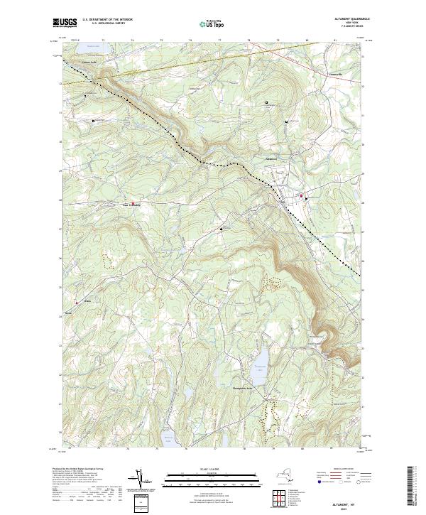
Current Altamont GeoPDF Map
1944 Map No. 136597, 1944 Map No. 136598, 1944 Map No. 136599, 1944 Map No. 136602 Margaret Burke WMA Berne (12%), Duanesburg (3%), Guilderland (30%), Knox (60%), New Scotland (4%), Princetown (1%)
Current Burnt Hills GeoPDF Map
1954 Map No. 123058, 1954 Map No. 123059, 1954 Map No. 123060, 1954 Map No. 123061, 1954 Map No. 137138 Saratoga FP Detached Parcel Ballston (56%), Charlton (63%), Clifton Park (4%), Galway (4%), Glenville (24%), Milton (3%)
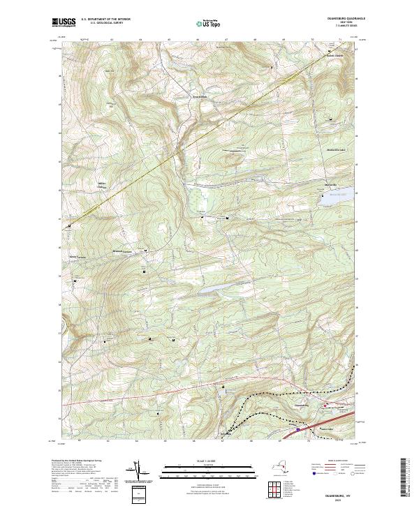
Current Duanesburg GeoPDF Map
1954 Map No. 137906, 1954 Map No. 137907, 1954 Map No. 137909 Featherstonhaugh State Forest Duanesburg (59%), Esperance (0%), Florida (24%)
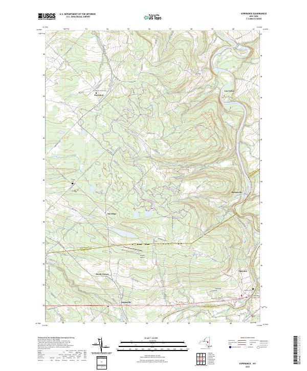
Current Esperance GeoPDF Map
1943 Map No. 138118, 1943 Map No. 138120 Lost Valley State Forest, Charleston State Forest Carlisle (9%), Charleston (72%), Duanesburg (3%), Esperance (54%), Florida (7%), Glen (11%)
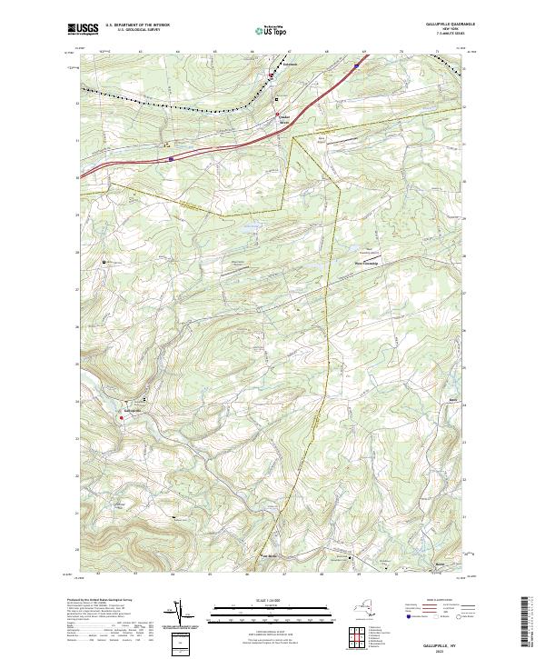
Current Gallupville GeoPDF Map
1944 Map No. 137216, 1944 Map No. 138096, 1944 Map No. 138097 Dutch Settlement State Forest Berne (3%), Duanesburg (16%), Knox (40%), Schoharie (2%), Wright (83%)
Current Niskayuna GeoPDF Map
1954 Map No. 128733, 1954 Map No. 128734, 1954 Map No. 128735, 1954 Map No. 137464 NA Clifton Park (58%), Colonie (22%), Halfmoon (17%), Niskayuna (48%)
Current Pattersonville GeoPDF Map
1954 Map No. 135974, 1954 Map No. 135975 NA Amsterdam (30%), Charlton (37%), Duanesburg (0%), Florida (5%), Galway (13%), Glenville (40%), Perth (6%), Princetown (7%), Rotterdam (5%)
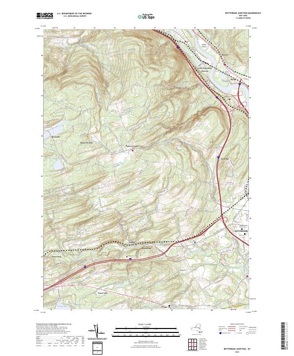
Current Rotterdam Junction GeoPDF Map
1954 Map No. 129227, 1954 Map No. 129228, 1954 Map No. 129229, 1954 Map No. 129230 Featherstonhaugh State Forest Duanesburg (12%), Glenville (5%), Guilderland (0%), Princetown (92%), Rotterdam (59%)
Current Schenectady GeoPDF Map
1954 Map No. 129430, 1954 Map No. 129431, 1954 Map No. 129433, 1954 Map No. 129434 Albany Pine Bush Preserve Clifton Park (4%), Colonie (4%), Glenville (32%), Guilderland (3%), Niskayuna (52%), Princetown (0%), Rotterdam (36%), Schenectady city (100%)
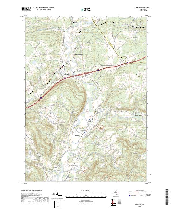
Current Schoharie GeoPDF Map
1943 Map No. 129442, 1943 Map No. 129443, 1943 Map No. 129452, 1943 Map No. 136900 Cotton Hill State Forest, Dutch Settlement State Forest, Schoharie Creek Parking Fishing Access Carlisle (4%), Cobleskill (1%), Duanesburg (7%), Esperance (46%), Middleburgh (15%), Schoharie (95%), Wright (12%)

Schoharie County

PDF (50-60 MB Download) Historical USGS Topo Maps State Lands (Links to DEC Website) Towns (Percent of Town’s Area)
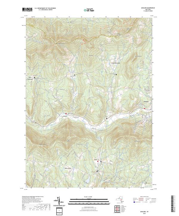
Current Ashland GeoPDF Map
1945 Map No. 136704, 1945 Map No. 136705, 1945 Map No. 136707, 1946 Map No. 136706 Huntersfield State Forest, Ashland Pinnacle State Forest, South Mountain State Forest, Mount Pisgah State Forest Ashland (91%), Conesville (13%), Jewett (21%), Lexington (6%), Prattsville (7%), Windham (24%)
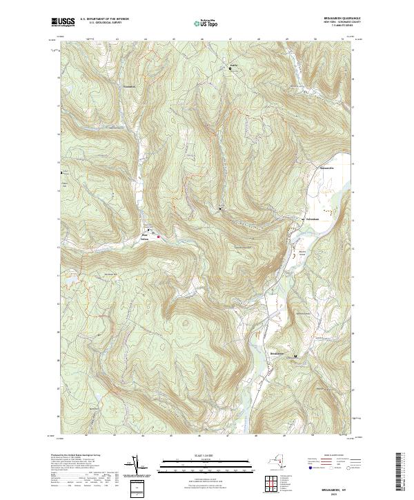
Current Breakabeen GeoPDF Map
1943 Map No. 122989, 1943 Map No. 122990, 1943 Map No. 122992, 1943 Map No. 137126, 1943 Map No. 137127 Gates Hill State Forest, Keyserkill State Forest, Patria State Forest, Petersburg State Forest, Mallet Pond State Forest, Burnt-Rossman Hills State Forest Blenheim (13%), Broome (0%), Fulton (73%), Gilboa (0%), Middleburgh (3%), Richmondville (4%)
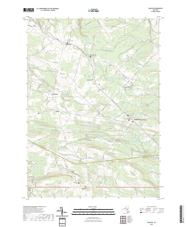
Current Carlisle GeoPDF Map
1943 Map No. 122809, 1943 Map No. 122810 Rural Grove State Forest, Yatesville Falls State Forest Carlisle (36%), Charleston (28%), Glen (5%), Root (56%)
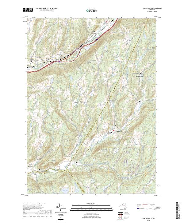
Current Charlotteville GeoPDF Map
1943 Map No. 122912, 1943 Map No. 122913, 1943 Map No. 122916, 1943 Map No. 137167 Schenevus Creek Fishing Access, Lutheranville State Forest, Clapper Hollow State Forest Decatur (1%), Harpersfield (6%), Jefferson (17%), Summit (38%), Worcester (65%)
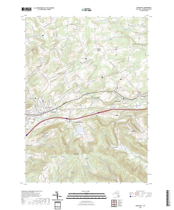
Current Cobleskill GeoPDF Map
1943 Map No. 137179, 1943 Map No. 137794, 1943 Map No. 137795, 1943 Map No. 137798, 1996 Map No. 137181 Petersburg State Forest Carlisle (41%), Cobleskill (92%), Fulton (4%), Middleburgh (13%), Richmondville (10%), Schoharie (3%)
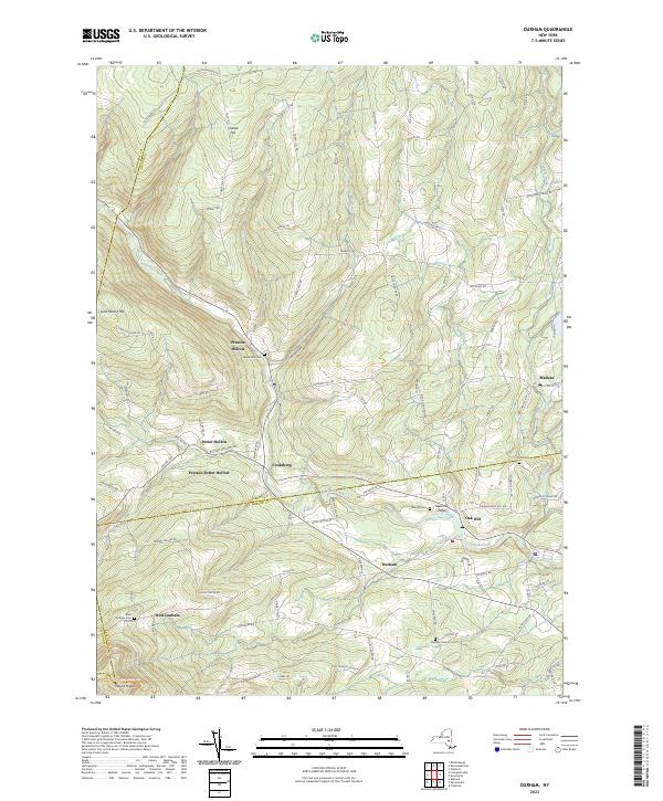
Current Durham GeoPDF Map
1945 Map No. 137938, 1946 Map No. 137933, 1946 Map No. 137934, 1967 Map No. 137937 Catskill Creek Fishing Access, Mount Hayden State Forest, Mount Pisgah State Forest, Scott Patent State Forest, Rensselaerville State Forest Broome (4%), Conesville (0%), Durham (36%), Rensselaerville (57%), Windham (0%)
Current Esperance GeoPDF Map
1943 Map No. 138118, 1943 Map No. 138120 Lost Valley State Forest, Charleston State Forest Carlisle (9%), Charleston (72%), Duanesburg (3%), Esperance (54%), Florida (7%), Glen (11%)
Current Gallupville GeoPDF Map
1944 Map No. 137216, 1944 Map No. 138096, 1944 Map No. 138097 Dutch Settlement State Forest Berne (3%), Duanesburg (16%), Knox (40%), Schoharie (2%), Wright (83%)
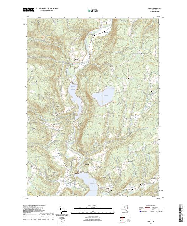
Current Gilboa GeoPDF Map
1945 Map No. 129526, 1945 Map No. 129527, 1945 Map No. 129530, 1945 Map No. 129532, 1945 Map No. 129533 Keyserkill State Forest, Blenheim Hill State Forest, Burnt-Rossman Hills State Forest Blenheim (47%), Broome (0%), Conesville (18%), Gilboa (54%), Roxbury (0%)
Current Harpersfield GeoPDF Map
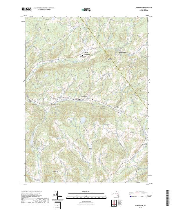
1945 Map No. 129799, 1945 Map No. 129800, 1982 Map No. 129798 NA Harpersfield (81%), Jefferson (19%), Kortright (15%), Stamford (6%)
Current Livingstonville GeoPDF Map
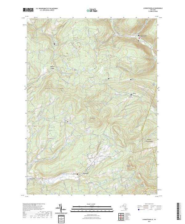
1945 Map No. 130298, 1945 Map No. 130301, 1946 Map No. 130299, 1962 Map No. 130300 South Mountain State Forest, Mount Pisgah State Forest, Stone Store State Forest, Keyserkill State Forest, Scott Patent State Forest, High Knob State Forest, Leonard Hill State Forest, Dutton Ridge State Forest, Bates State Forest Broome (42%), Conesville (64%), Durham (0%), Gilboa (13%), Rensselaerville (2%), Windham (0%)
Current Middleburgh GeoPDF Map
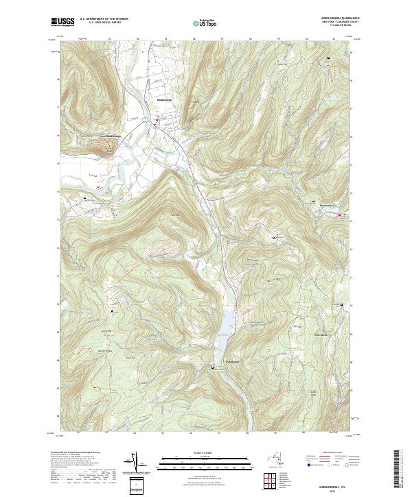
1944 Map No. 130551, 1944 Map No. 130552, 1944 Map No. 130555, 1944 Map No. 137444 Vroman’s Nose Unique Area, Stone Store State Forest, Armlin Hill State Forest, Gates Hill State Forest, Keyserkill State Forest, Dutton Ridge State Forest, Cotton Hill State Forest, Dutch Settlement State Forest, Franklinton Vlaie WMA Broome (45%), Fulton (8%), Middleburgh (57%), Wright (0%)
Current Prattsville GeoPDF Map
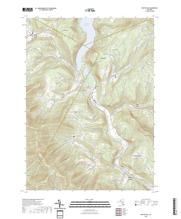
1945 Map No. 129181, 1945 Map No. 129182, 1945 Map No. 129183, 1946 Map No. 129184 Huntersfield State Forest, Bearpen Mountain State Forest Ashland (9%), Conesville (5%), Gilboa (4%), Halcott (12%), Lexington (13%), Prattsville (93%), Roxbury (18%)
Current Rensselaerville GeoPDF Map
1946 Map No. 136056, 1946 Map No. 136057 Dutch Settlement State Forest, Rensselaerville State Forest, Partridge Run State Forest, Partridge Run WMA Berne (42%), Broome (9%), Middleburgh (12%), Rensselaerville (26%), Wright (5%)
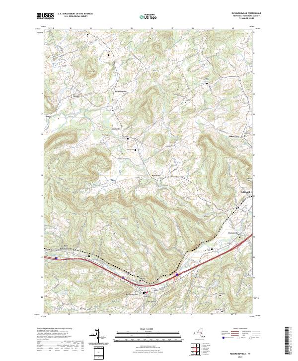
Current Richmondville GeoPDF Map
1944 Map No. 136070, 1944 Map No. 136071, 1944 Map No. 136072, 1944 Map No. 136858 NA Carlisle (2%), Cobleskill (7%), Richmondville (62%), Seward (83%), Sharon (7%), Summit (0%)
Current Schoharie GeoPDF Map
1943 Map No. 129442, 1943 Map No. 129443, 1943 Map No. 129452, 1943 Map No. 136900 Cotton Hill State Forest, Dutch Settlement State Forest, Schoharie Creek Parking Fishing Access Carlisle (4%), Cobleskill (1%), Duanesburg (7%), Esperance (46%), Middleburgh (15%), Schoharie (95%), Wright (12%)
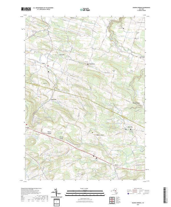
Current Sharon Springs GeoPDF Map
1943 Map No. 136148, 1943 Map No. 136149, 1943 Map No. 136150 NA Canajoharie (39%), Carlisle (8%), Root (23%), Seward (0%), Sharon (61%)
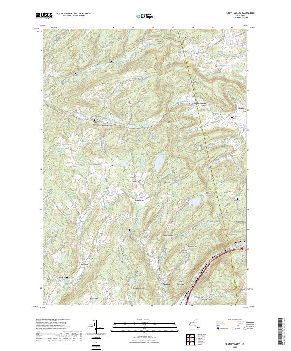
Current South Valley GeoPDF Map
1943 Map No. 136210, 1943 Map No. 136211, 1943 Map No. 136212, 1943 Map No. 136929 Bear Swamp State Forest, Cherry Valley State Forest, Decatur State Forest, Honey Hill State Forest, Maple Valley State Forest, R. Milton Hick Memorial State Forest Decatur (95%), Richmondville (4%), Roseboom (58%), Seward (17%), Sharon (6%), Summit (0%), Worcester (13%)
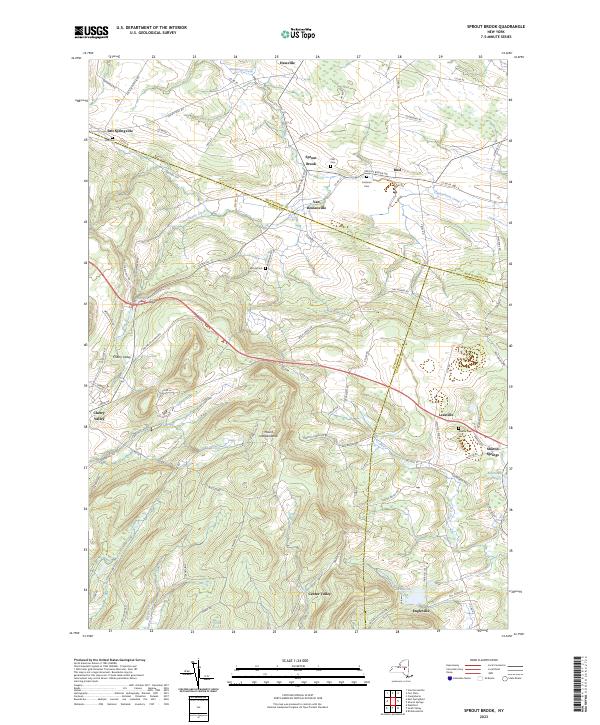
Current Sprout Brook GeoPDF Map
1943 Map No. 136932, 1943 Map No. 139853, 1943 Map No. 139854 Cherry Valley State Forest, Honey Hill State Forest Canajoharie (24%), Cherry Valley (66%), Minden (9%), Roseboom (9%), Sharon (26%)
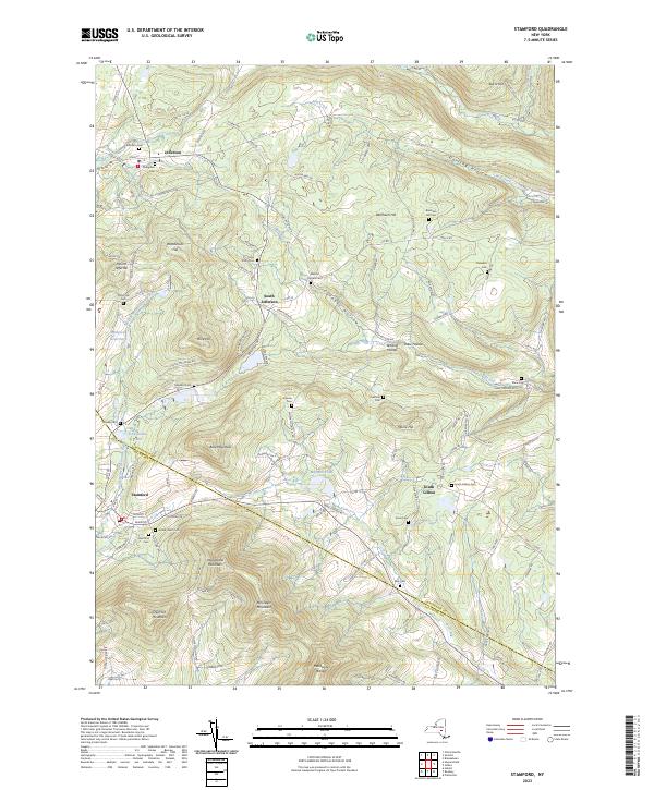
Current Stamford GeoPDF Map
1945 Map No. 136933, 1945 Map No. 139862, 1945 Map No. 139863, 1945 Map No. 139864 Stamford Regional Sub-Office, Stamford FP Detached Parcel, Blenheim Hill State Forest, Burnt-Rossman Hills State Forest Blenheim (26%), Gilboa (30%), Harpersfield (1%), Jefferson (38%), Roxbury (4%), Stamford (16%)
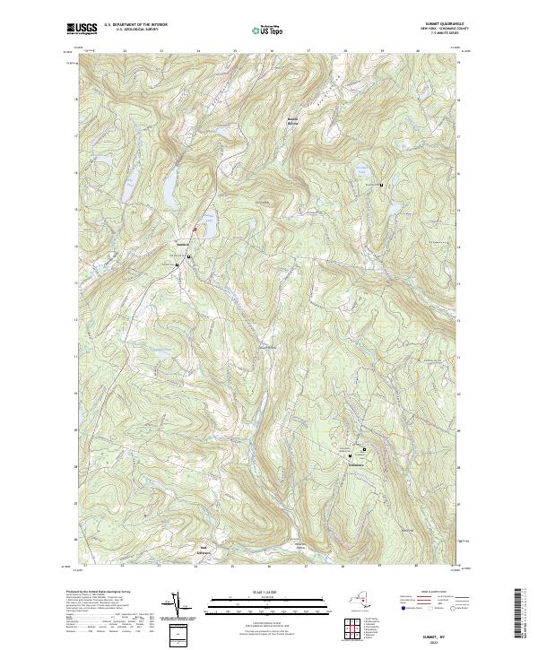
Current Summit GeoPDF Map
1943 Map No. 136941, 1943 Map No. 136942, 1943 Map No. 139927, 1943 Map No. 139928 Lutheranville State Forest, Mallet Pond State Forest, Burnt-Rossman Hills State Forest Blenheim (15%), Fulton (15%), Jefferson (25%), Richmondville (20%), Summit (62%)

Schuyler County

PDF (50-60 MB Download) Historical USGS Topo Maps State Lands (Links to DEC Website) Towns (Percent of Town’s Area)
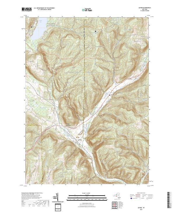
Current Alpine GeoPDF Map
1950 Map No. 136593, 1950 Map No. 136594, 1969 Map No. 136595, 1969 Map No. 136596, 1969 Map No. 137064 Newfield State Forest, Cliffside State Forest, Connecticut Hill WMA Catharine (45%), Cayuta (82%), Newfield (36%), Veteran (7%)
Current Beaver Dams GeoPDF Map
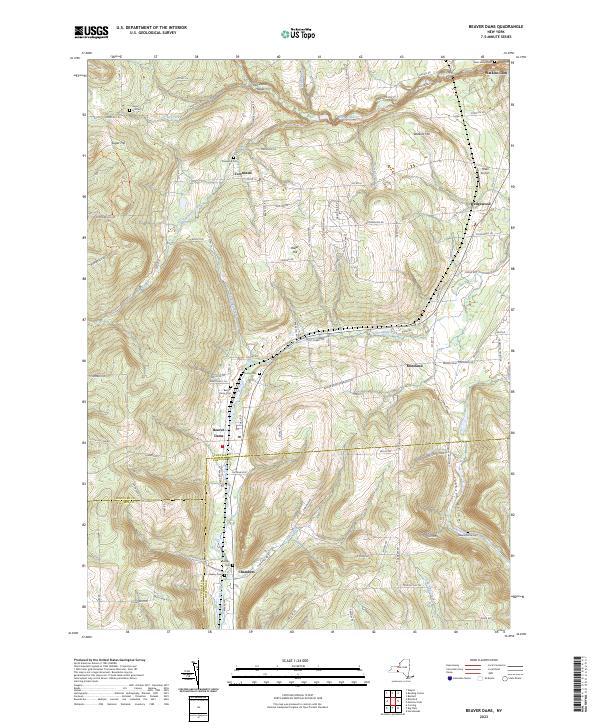
1953 Map No. 123229, 1953 Map No. 123230, 1953 Map No. 137095 Beaver Dams State Forest, Sugar Hill State Forest, Coon Hollow State Forest Catlin (33%), Dix (74%), Hornby (8%), Orange (22%)
Current Bradford GeoPDF Map
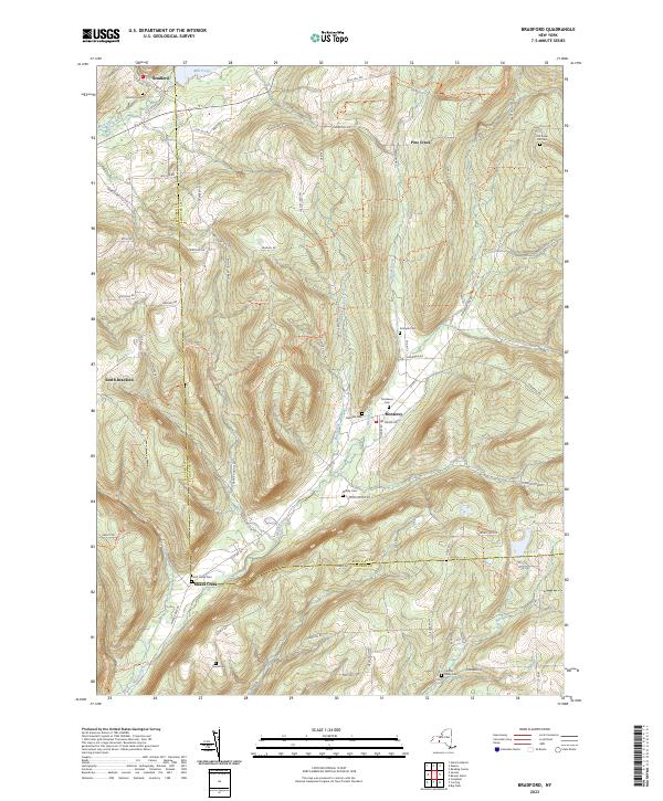
1953 Map No. 123380, 1953 Map No. 123381, 1953 Map No. 137123 Goundry Hill State Forest, Beaver Dams State Forest, Sugar Hill State Forest, South Bradford State Forest, Meads Creek State Forest, Birdseye Hollow State Forest, Cinnamon Lake State Forest, Dry Run State Forest, Coon Hollow State Forest Bradford (33%), Campbell (5%), Hornby (22%), Orange (66%)
Current Burdett GeoPDF Map
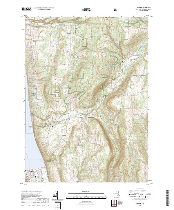
1950 Map No. 123054, 1950 Map No. 123055, 1950 Map No. 123056, 1950 Map No. 137136 Texas Hollow State Forest, Catharine Creek WMA Catharine (6%), Dix (3%), Hector (44%), Montour (10%), Reading (0%)
Current Dundee GeoPDF Map
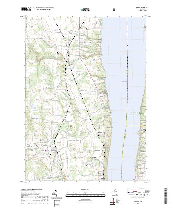
1942 Map No. 137916, 1942 Map No. 137917, 1942 Map No. 137918 Seneca Lake Boat Launch Barrington (5%), Hector (3%), Lodi (14%), Milo (37%), Starkey (68%), Torrey (2%)
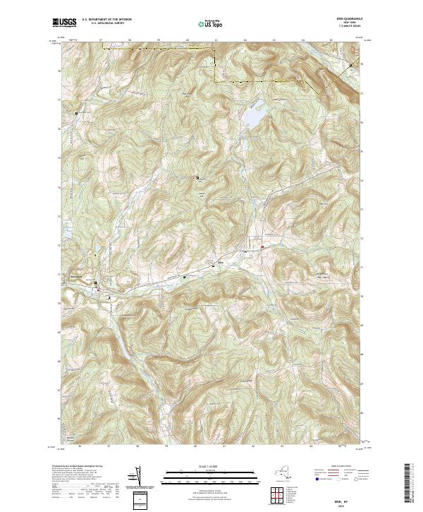
Current Erin GeoPDF Map
1954 Map No. 138116, 1969 Map No. 137327, 1969 Map No. 138117 NA Baldwin (5%), Cayuta (14%), Elmira (1%), Erin (91%), Horseheads (18%), Van Etten (2%), Veteran (9%)
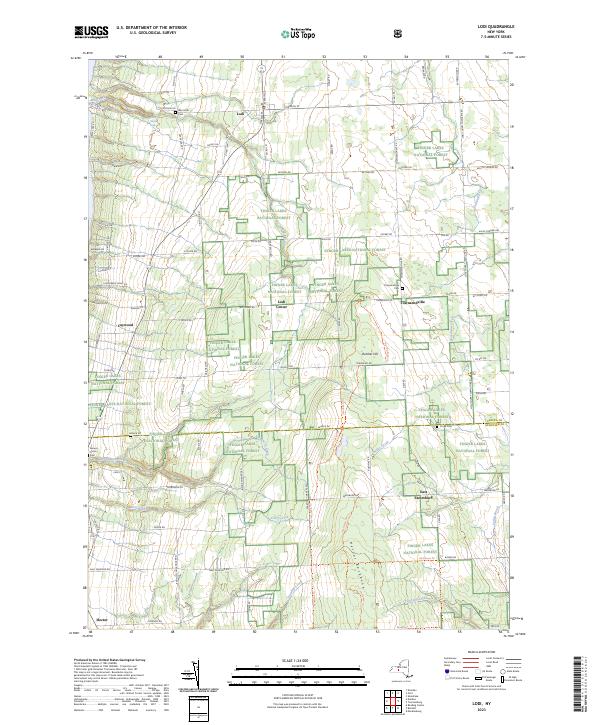
Current Lodi GeoPDF Map
1942 Map No. 130322, 1942 Map No. 130323 NA Covert (10%), Hector (17%), Lodi (81%)
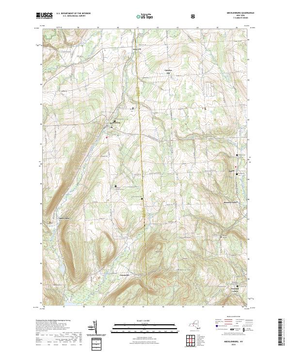
Current Mecklenburg GeoPDF Map
1950 Map No. 130516, 1950 Map No. 130517, 1950 Map No. 130518, 1969 Map No. 130519, 1969 Map No. 130520, 1969 Map No. 137441 Cayuta Lake Boat Launch, Connecticut Hill WMA Catharine (10%), Enfield (54%), Hector (21%), Newfield (6%), Ulysses (14%)
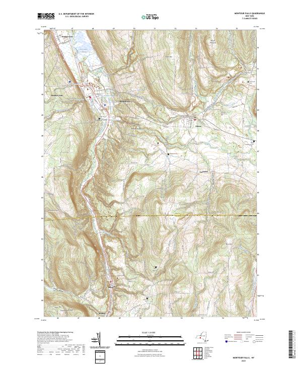
Current Montour Falls GeoPDF Map
1950 Map No. 130637, 1950 Map No. 130638, 1950 Map No. 130640, 1950 Map No. 130641, 1961 Map No. 130639 Catharine Creek Fishing Access, Catharine Creek WMA Catharine (39%), Catlin (11%), Dix (17%), Montour (90%), Veteran (40%)
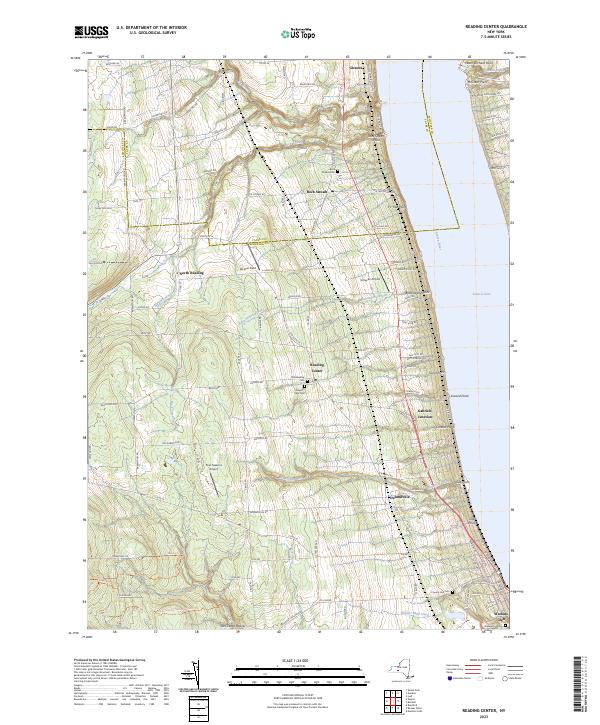
Current Reading Center GeoPDF Map
1950 Map No. 136032, 1950 Map No. 136033, 1950 Map No. 136034, 1950 Map No. 136035 Sugar Hill State Forest Barrington (1%), Dix (6%), Hector (7%), Orange (2%), Reading (100%), Starkey (32%), Tyrone (11%)
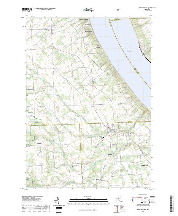
Current Trumansburg GeoPDF Map
1942 Map No. 139388, 1970 Map No. 136969, 1970 Map No. 139391 NA Covert (79%), Genoa (0%), Hector (8%), Lansing (6%), Ulysses (32%)
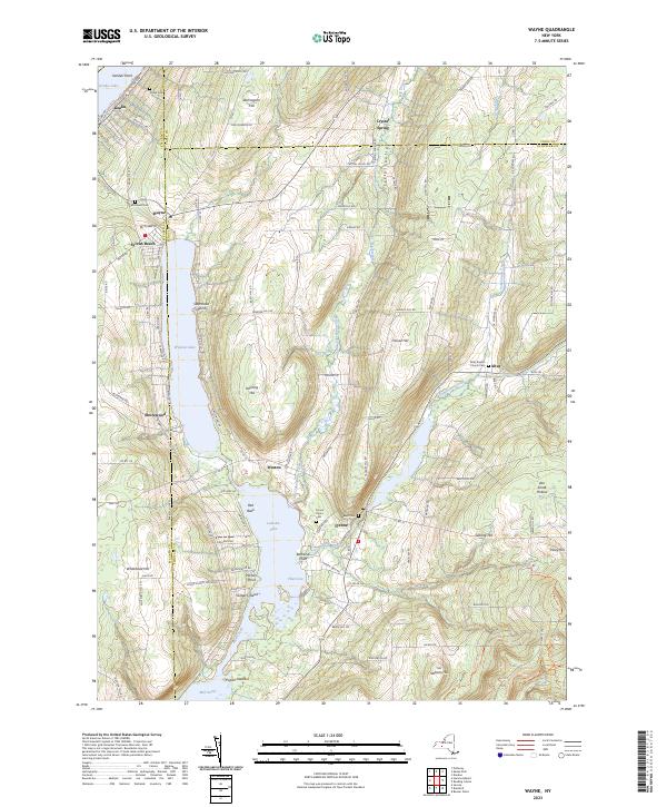
Current Wayne GeoPDF Map
1953 Map No. 140089, 1953 Map No. 140090 Sugar Hill State Forest, Waneta Lamoka WMA Barrington (16%), Bradford (4%), Jerusalem (0%), Orange (10%), Tyrone (89%), Wayne (33%)
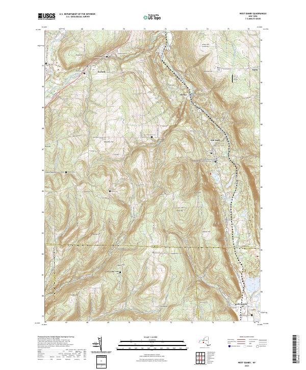
Current West Danby GeoPDF Map
1950 Map No. 140144, 1950 Map No. 140145, 1969 Map No. 140146, 1969 Map No. 140147 Danby State Forest Cayuta (3%), Danby (23%), Newfield (48%), Spencer (8%), Van Etten (23%)

Seneca County

PDF (50-60 MB Download) Historical USGS Topo Maps State Lands (Links to DEC Website) Towns (Percent of Town’s Area)
Current Cayuga GeoPDF Map
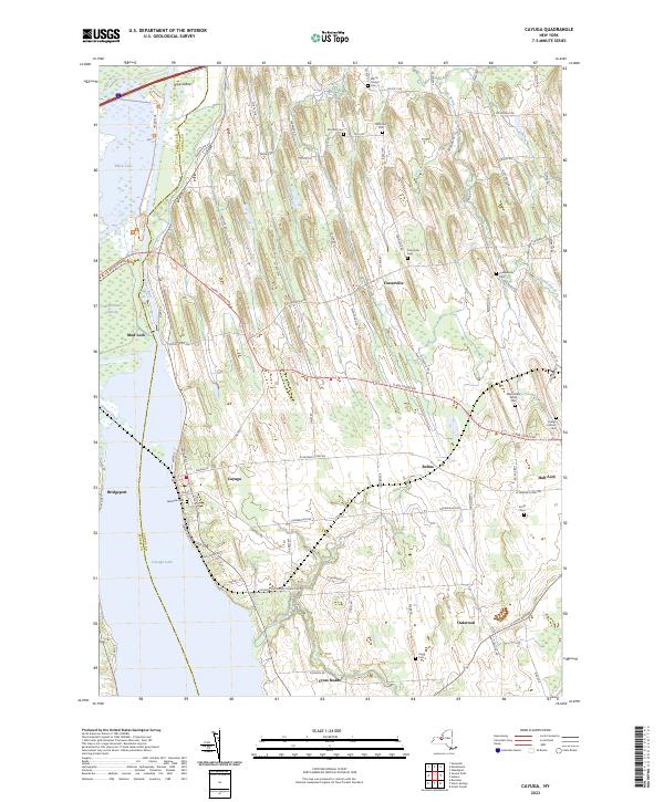
1954 Map No. 122871, 1954 Map No. 122872 Northern Montezuma WMA Aurelius (81%), Fayette (0%), Fleming (3%), Montezuma (40%), Seneca Falls (14%), Springport (26%), Throop (35%), Tyre (10%)
Current Dresden GeoPDF Map
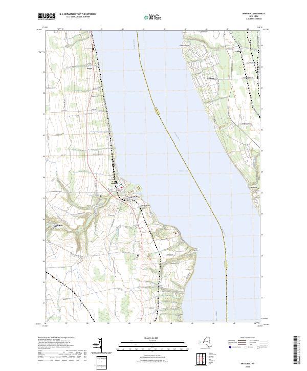
1943 Map No. 137338, 1943 Map No. 137895, 1943 Map No. 137897 NA Benton (9%), Lodi (1%), Milo (5%), Ovid (10%), Romulus (28%), Torrey (90%), Varick (0%)
Current Dundee GeoPDF Map
1942 Map No. 137916, 1942 Map No. 137917, 1942 Map No. 137918 Seneca Lake Boat Launch Barrington (5%), Hector (3%), Lodi (14%), Milo (37%), Starkey (68%), Torrey (2%)
Current Geneva North GeoPDF Map
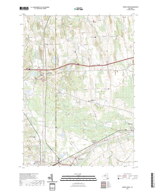
1953 Map No. 129490, 1953 Map No. 129491, 1953 Map No. 129492, 1953 Map No. 129493 Junius Pond Unique Area Fayette (6%), Geneva city (29%), Geneva (12%), Junius (65%), Phelps (19%), Waterloo (81%)
Current Geneva South GeoPDF Map
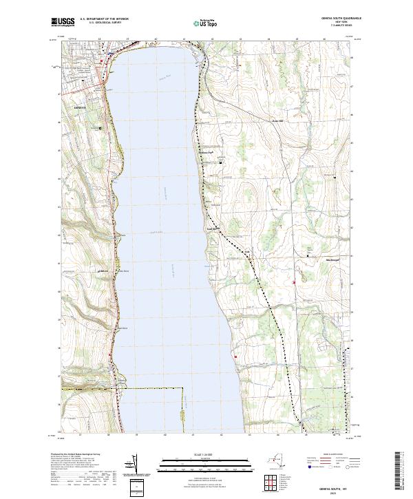
1953 Map No. 129495, 1953 Map No. 129496, 1953 Map No. 129497, 1953 Map No. 129498, 1953 Map No. 129499 NA Benton (6%), Fayette (34%), Geneva city (56%), Geneva city (100%), Geneva (36%), Romulus (0%), Varick (39%), Waterloo (1%)
Current Lodi GeoPDF Map
1942 Map No. 130322, 1942 Map No. 130323 NA Covert (10%), Hector (17%), Lodi (81%)
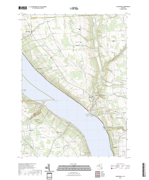
Current Ludlowville GeoPDF Map
1942 Map No. 130370, 1942 Map No. 130371, 1942 Map No. 130372, 1971 Map No. 130374, 1971 Map No. 137423 Myers Point Boat Launch Covert (4%), Genoa (1%), Lansing (57%), Ulysses (36%)
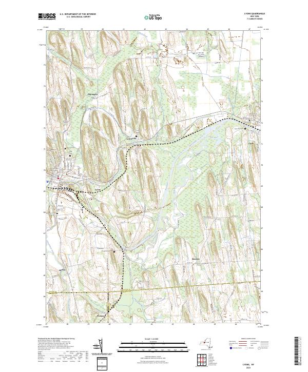
Current Lyons GeoPDF Map
1953 Map No. 130403, 1953 Map No. 130404, 1953 Map No. 130405 Galen WMA Galen (56%), Junius (18%), Lyons (38%), Phelps (3%), Rose (1%)
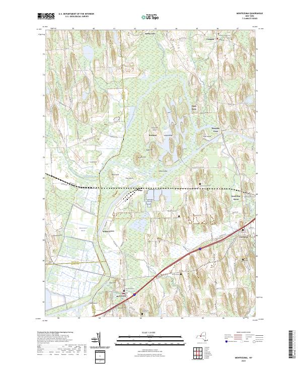
Current Montezuma GeoPDF Map
1954 Map No. 130619, 1954 Map No. 130620, 1954 Map No. 130621 Northern Montezuma WMA Conquest (41%), Mentz (61%), Montezuma (60%), Savannah (39%), Throop (7%), Tyre (8%)
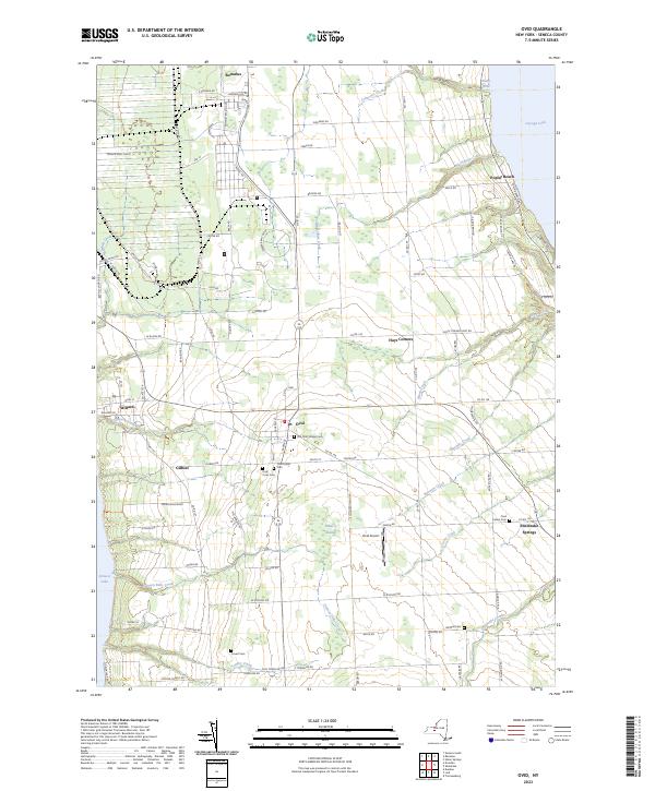
Current Ovid GeoPDF Map
1942 Map No. 135941, 1942 Map No. 135942, 1970 Map No. 135943, 1970 Map No. 136762 Willard WMA Covert (1%), Lodi (4%), Ovid (59%), Romulus (59%)
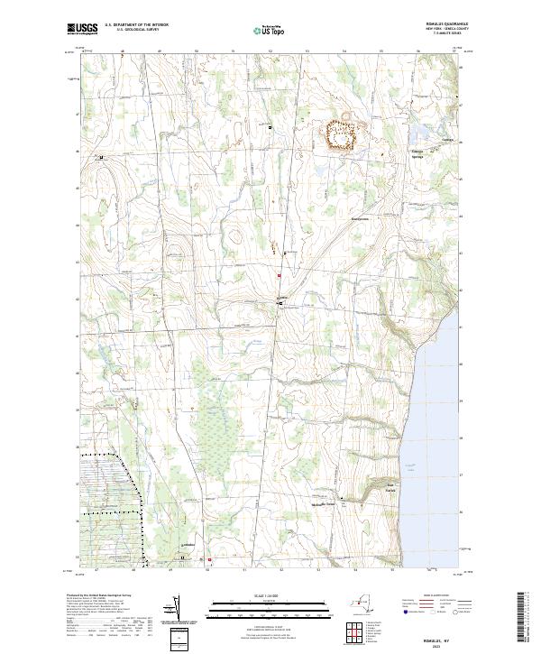
Current Romulus GeoPDF Map
1953 Map No. 136106, 1953 Map No. 136107, 1953 Map No. 136871 NA Fayette (43%), Romulus (2%), Varick (55%)
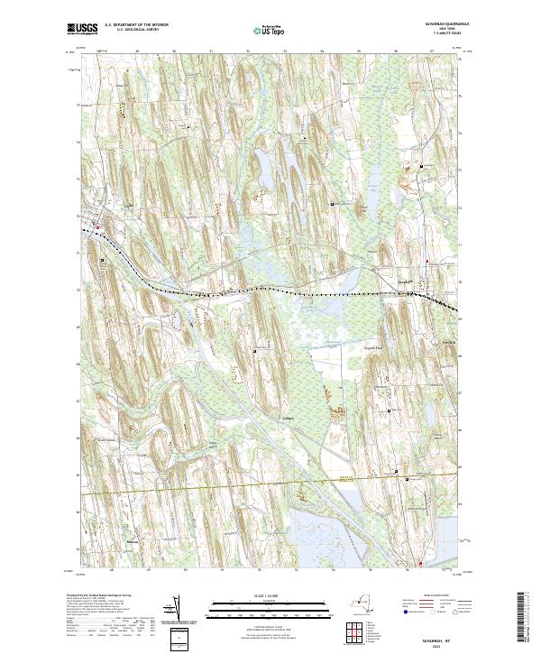
Current Savannah GeoPDF Map
1953 Map No. 129406, 1953 Map No. 129407, 1953 Map No. 129408, 1953 Map No. 136895 Northern Montezuma WMA Galen (43%), Junius (4%), Savannah (55%), Tyre (24%)
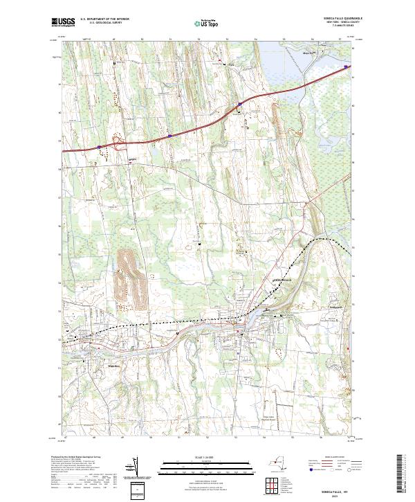
Current Seneca Falls GeoPDF Map
1943 Map No. 136137, 1953 Map No. 136138, 1953 Map No. 136139, 1953 Map No. 136140, 1953 Map No. 136141 Northern Montezuma WMA Fayette (6%), Junius (13%), Seneca Falls (86%), Tyre (58%), Waterloo (18%)
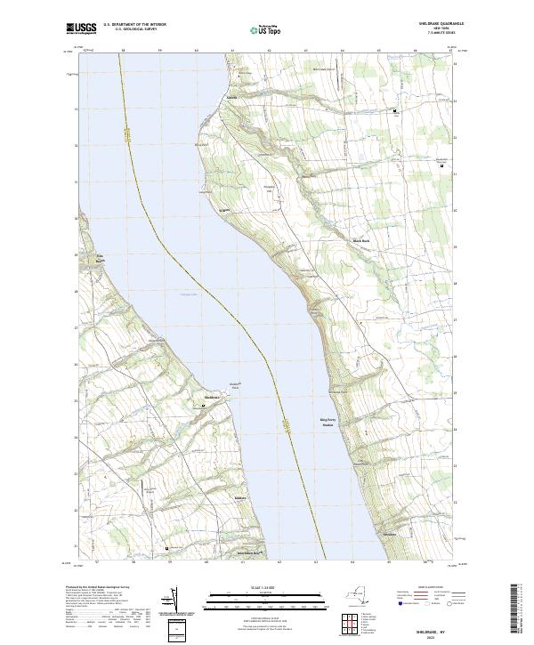
Current Sheldrake GeoPDF Map
1942 Map No. 136151, 1971 Map No. 136152, 1971 Map No. 136912 NA Covert (7%), Genoa (23%), Ledyard (51%), Ovid (31%), Romulus (11%)
Current Trumansburg GeoPDF Map
1942 Map No. 139388, 1970 Map No. 136969, 1970 Map No. 139391 NA Covert (79%), Genoa (0%), Hector (8%), Lansing (6%), Ulysses (32%)
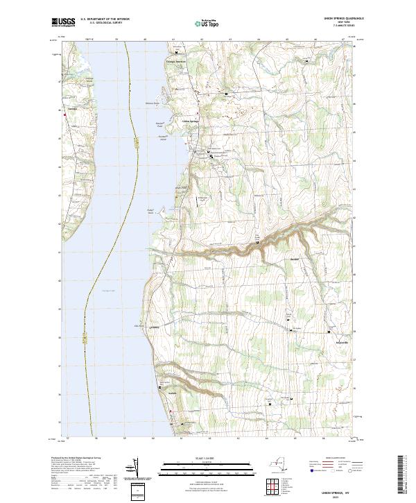
Current Union Springs GeoPDF Map
1955 Map No. 139440, 1955 Map No. 139441, 1955 Map No. 139442 Canoga Marsh WMA Fayette (10%), Fleming (4%), Ledyard (48%), Romulus (0%), Scipio (3%), Springport (74%), Varick (5%), Venice (0%)

St. Lawrence County

PDF (50-60 MB Download) Historical USGS Topo Maps State Lands (Links to DEC Website) Towns (Percent of Town’s Area)
Current Albert Marsh GeoPDF Map
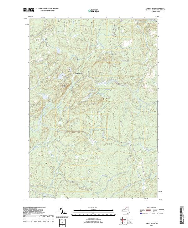
1970 Map No. 136560 Grass River Wild Forest, Taylor Creek State Forest Clare (20%), Colton (11%), Pierrepont (11%)
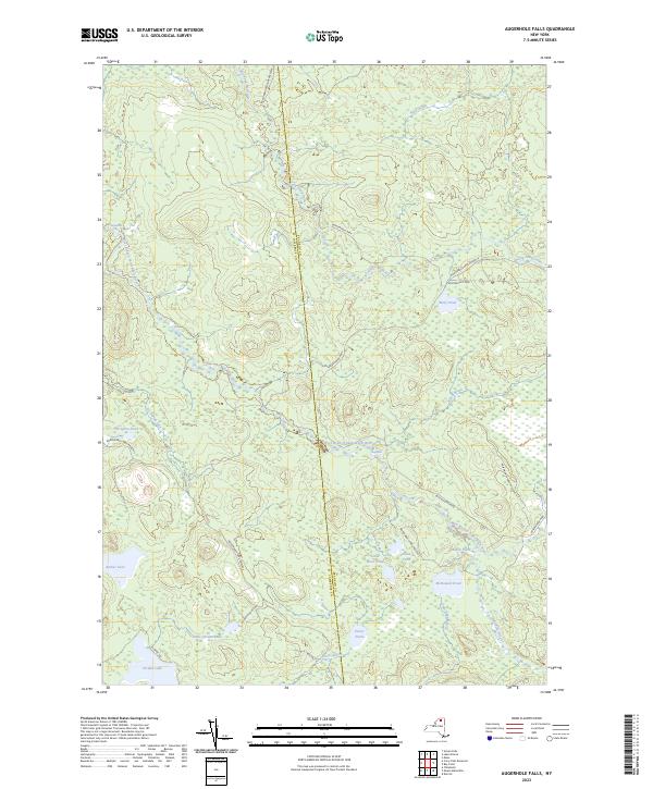
Current Augerhole Falls GeoPDF Map
1970 Map No. 136744 Raquette-Jordan Boreal Primitive Area Hopkinton (13%), Tupper Lake (2%), Waverly (20%)
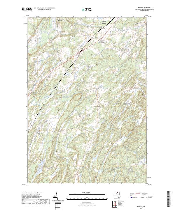
Current Bigelow GeoPDF Map
1956 Map No. 123289, 1956 Map No. 137106 Wolf Lake State Forest, Fire-Fall State Forest De Kalb (33%), Hermon (48%)
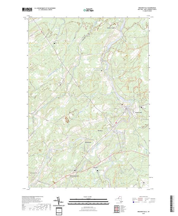
Current Brasher Falls GeoPDF Map
1946 Map No. 122986, 1964 Map No. 122987, 1964 Map No. 122988 Brasher State Forest, Buckton State Forest, Knapp Station State Forest, Lost Nation State Forest Brasher (19%), Lawrence (4%), Norfolk (7%), Stockholm (31%)
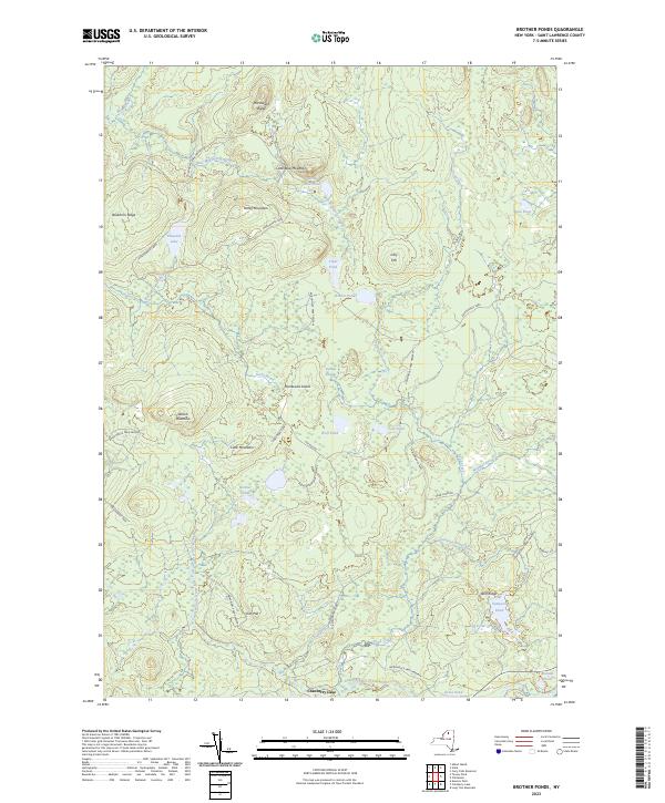
Current Brother Ponds GeoPDF Map
1970 Map No. 123133 Unclassified, Cranberry Lake Wild Forest, Grass River Wild Forest Clifton (13%), Colton (13%)
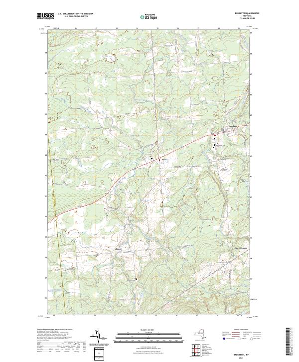
Current Brushton GeoPDF Map
1964 Map No. 123031, 1964 Map No. 123032 Deer River State Forest, Bombay State Forest Brasher (0%), Dickinson (26%), Lawrence (3%), Moira (89%)
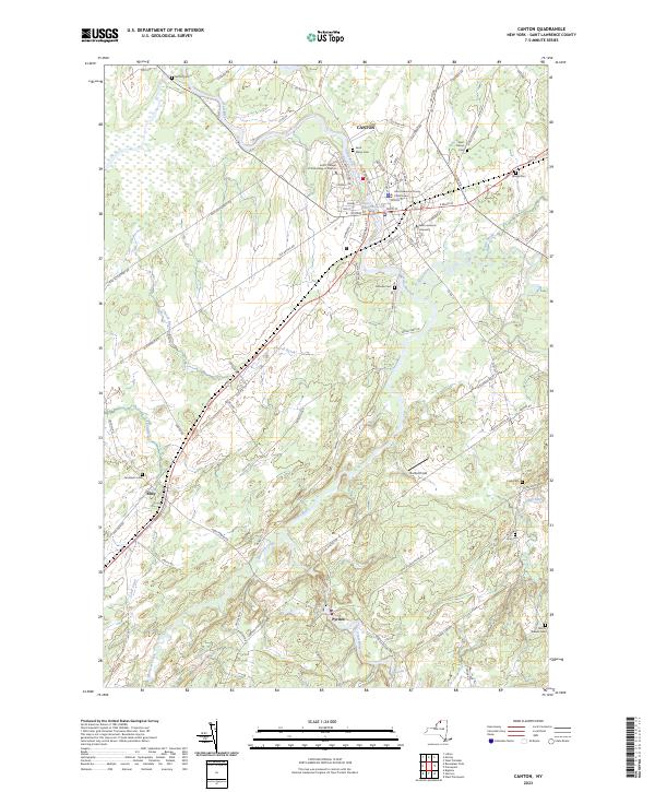
Current Canton GeoPDF Map
1964 Map No. 122793, 1964 Map No. 122794 Upper And Lower Lakes WMA Canton (48%), De Kalb (0%), Russell (2%)
Current Carry Falls Reservoir GeoPDF Map
NA Raquette River Wild Forest, Raquette-Jordan Boreal Primitive Area, White Hill Wild Forest Colton (6%), Hopkinton (17%), Parishville (6%)
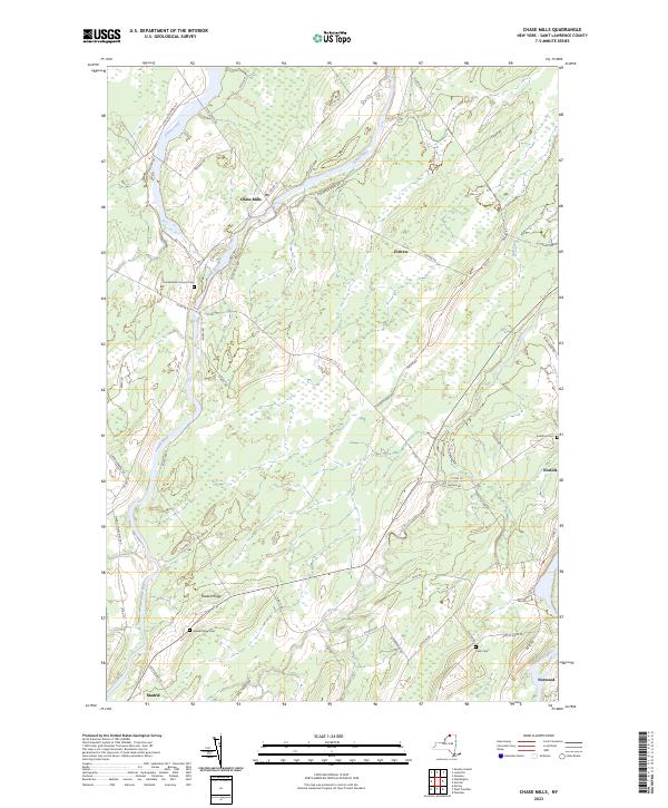
Current Chase Mills GeoPDF Map
1942 Map No. 122917, 1964 Map No. 122920 Sodom State Forest Louisville (16%), Madrid (44%), Norfolk (16%), Potsdam (4%), Waddington (10%)
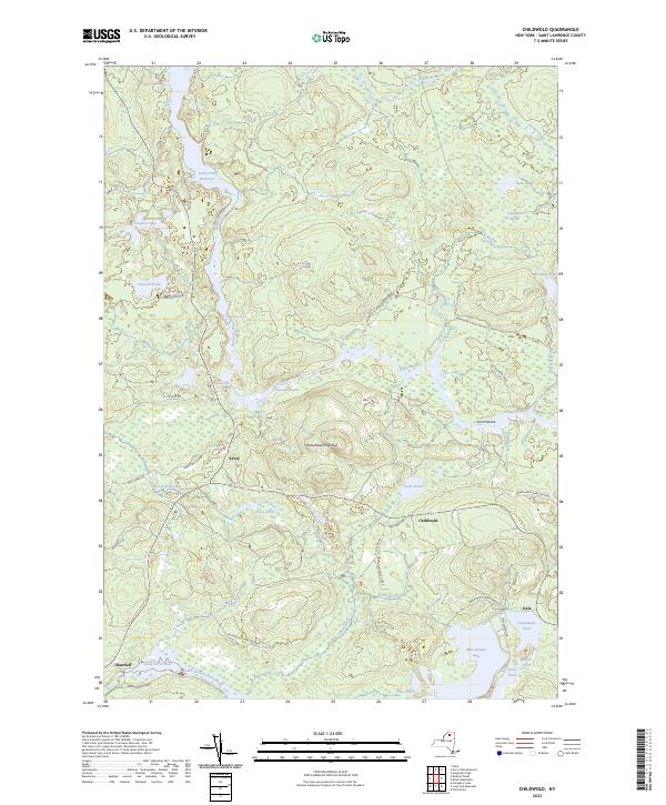
Current Childwold GeoPDF Map
1968 Map No. 122976 Cranberry Lake Wild Forest, Grass River Wild Forest, Raquette River Wild Forest, Raquette-Jordan Boreal Primitive Area Colton (12%), Hopkinton (3%), Piercefield (15%)
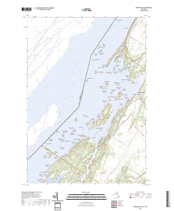
Current Chippewa Bay GeoPDF Map
1948 Map No. 122977, 1948 Map No. 122978, 1958 Map No. 122980, 1958 Map No. 122981, 1958 Map No. 122982 NA Alexandria (6%), Hammond (38%)
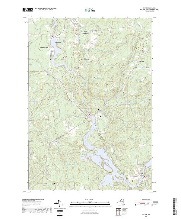
Current Colton GeoPDF Map
1943 Map No. 137685, 1964 Map No. 137688, 1964 Map No. 137689 High Flats State Forest, West Parishville State Forest Colton (7%), Parishville (15%), Pierrepont (30%), Potsdam (1%)
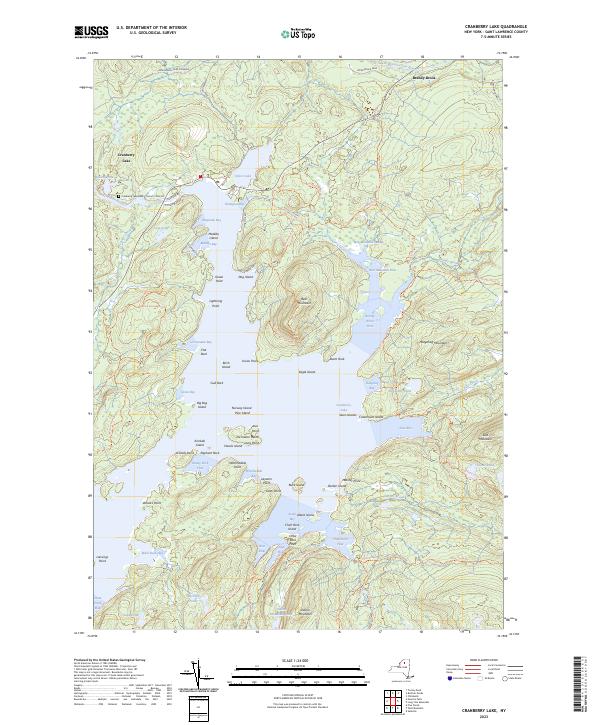
Current Cranberry Lake GeoPDF Map
1968 Map No. 137741, 1968 Map No. 137742, 1999 Map No. 137195 Unclassified, Cranberry Lake Wild Forest, Five Ponds Wilderness, Grass River Wild Forest, Cranberry Lake Boat Launch, Cranberry Lake Campground Clifton (25%), Colton (6%)
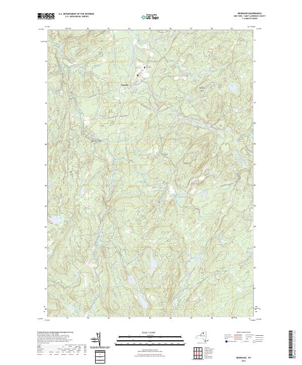
Current Degrasse GeoPDF Map
1969 Map No. 137974, 1969 Map No. 137975, 1969 Map No. 137976 Grass River Wild Forest, Degrasse State Forest, Orebed Creek State Forest, Silver Hill State Forest Clare (25%), Clifton (1%), Fine (8%), Russell (15%)
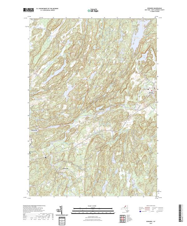
Current Edwards GeoPDF Map
1956 Map No. 138048, 1956 Map No. 138050 Trout Lake State Forest, Wolf Lake State Forest, Fire-Fall State Forest Edwards (54%), Fowler (21%), Gouverneur (0%), Hermon (23%)
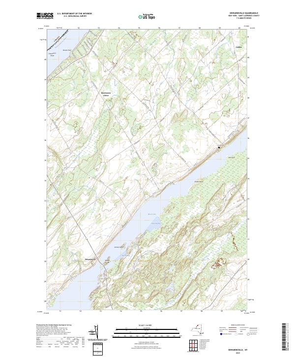
Current Edwardsville GeoPDF Map
1963 Map No. 137352, 1963 Map No. 138047 De Peyster FP Detached Parcel, Fish Creek WMA De Peyster (13%), Macomb (15%), Morristown (34%), Oswegatchie (24%)
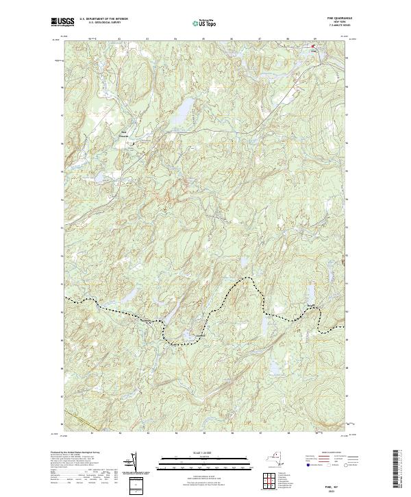
Current Fine GeoPDF Map
1966 Map No. 138147, 1966 Map No. 138148, 1966 Map No. 138149 Cold Spring Brook State Forest, Grass River Wild Forest, Aldrich Pond Wild Forest, Sucker Lake Water Access, Greenwood Creek State Forest Diana (0%), Edwards (2%), Fine (18%), Pitcairn (38%)
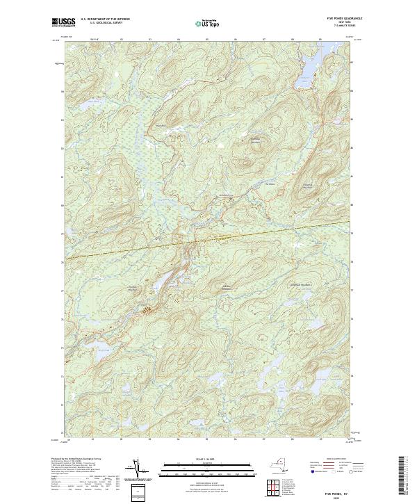
Current Five Ponds GeoPDF Map
1969 Map No. 138155, 1969 Map No. 138156, 1999 Map No. 137329 Cranberry Lake Wild Forest, Buck Pond Primitive Area, Five Ponds Wilderness, Wanakena Primitive Area Clifton (2%), Fine (14%), Webb (6%)
Current Gouverneur GeoPDF Map
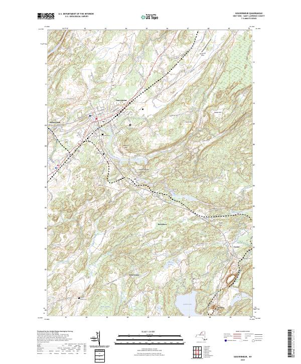
1956 Map No. 129586, 1956 Map No. 129587, 1982 Map No. 129588 Gouverneur FP Detached Parcel Fowler (52%), Gouverneur (29%), Hermon (2%)
Current Hammond GeoPDF Map
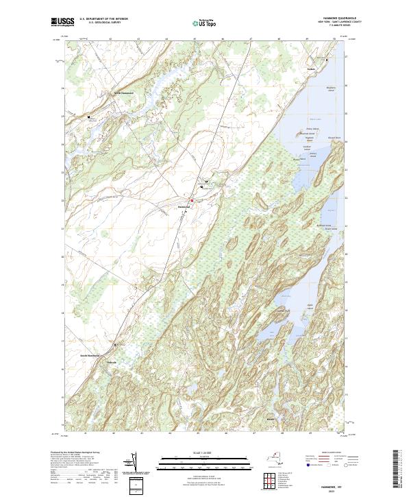
1951 Map No. 129700, 1951 Map No. 129701, 1961 Map No. 129702, 1961 Map No. 129703 South Hammond State Forest, Lonesome Bay State Forest, Black Lake Waterway Access Hammond (50%), Macomb (5%), Morristown (12%), Rossie (11%)
Current Harrisville GeoPDF Map
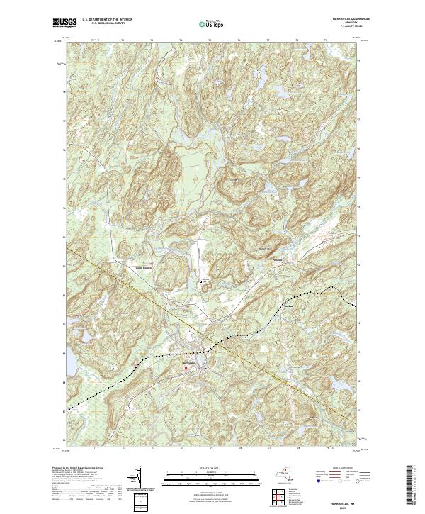
1951 Map No. 129808, 1951 Map No. 129809, 1951 Map No. 129810, 1951 Map No. 137245 Diana FP Detached Parcel, Pitcairn FP Detached Parcel, St. Lawrence FP Detached Parcel, Cold Spring Brook State Forest, Toothaker Creek State Forest, Aldrich Pond Wild Forest, Frank E. Jadwin Memorial State Forest, Bonaparte’s Cave State Forest, California Road State Forest Diana (10%), Edwards (6%), Fine (0%), Fowler (4%), Pitcairn (56%)
Current Hermon GeoPDF Map
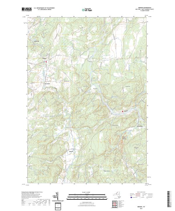
1966 Map No. 129910, 1966 Map No. 137248 Whippoorwill Corners State Forest Canton (3%), De Kalb (1%), Hermon (23%), Russell (38%)
Current Heuvelton GeoPDF Map
1963 Map No. 129911, 1963 Map No. 129912 Beaver Creek State Forest, Fish Creek WMA De Kalb (7%), De Peyster (81%), Macomb (0%), Oswegatchie (15%)
Current Hogansburg GeoPDF Map
1964 Map No. 129877, 1964 Map No. 129878, 1964 Map No. 137253 Bombay State Forest, Brasher State Forest Bombay (17%), Brasher (32%), Massena (7%), Moira (0%), St. Regis Mohawk Reservation (61%)
Current Lake Bonaparte GeoPDF Map
1951 Map No. 130158, 1951 Map No. 130159, 1951 Map No. 130160, 1951 Map No. 137301, 1951 Map No. 137302 St. Lawrence FP Detached Parcel, Sand Bay State Forest, Bonaparte’s Cave State Forest, California Road State Forest Antwerp (7%), Diana (21%), Fowler (19%), Pitcairn (6%)
Current Lake Ozonia GeoPDF Map
1964 Map No. 130178, 1964 Map No. 130179 Debar Mountain Wild Forest, Lake Ozonia Fishing Access Site Hopkinton (9%), Waverly (29%)
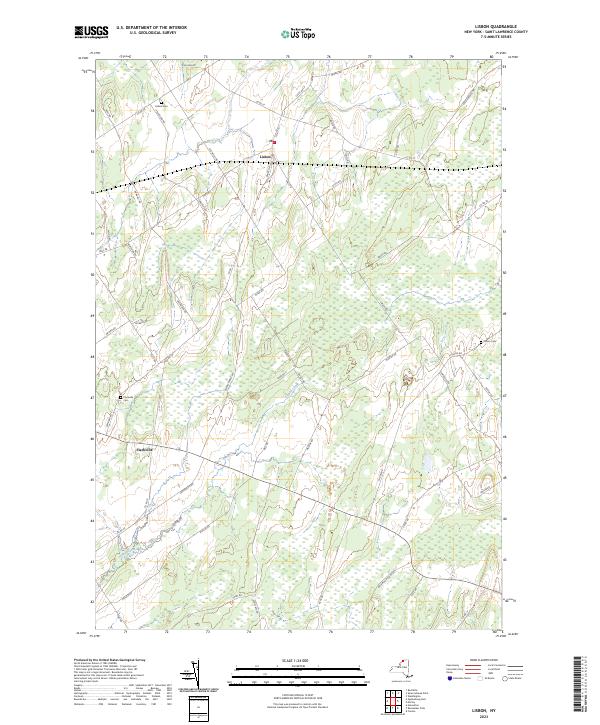
Current Lisbon GeoPDF Map
1963 Map No. 130271, 1963 Map No. 130272 Lisbon FP Detached Parcel, Upper And Lower Lakes WMA Canton (1%), Lisbon (45%), Oswegatchie (0%)
Current Little Tupper Lake GeoPDF Map
NA Sargent Ponds Wild Forest, Horseshoe Lake Wild Forest, Round Lake Wilderness, William C. Whitney Wilderness, Winding Falls Primitive Area Long Lake (9%), Piercefield (8%), Tupper Lake (2%)
Current Long Tom Mountain GeoPDF Map
NA Dead Creek Primitive Area, Cranberry Lake Wild Forest, Eastern Five Ponds Access Primitive Area, Five Ponds Wilderness, Horseshoe Lake Wild Forest, Round Lake Wilderness Colton (15%), Piercefield (14%)
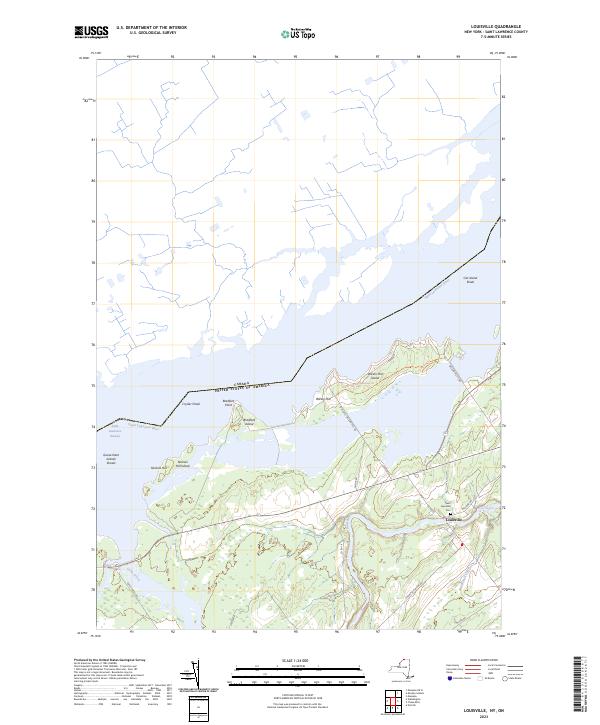
Current Louisville GeoPDF Map
1946 Map No. 130358, 1964 Map No. 130359 Wilson Hill WMA Louisville (39%), Waddington (1%)
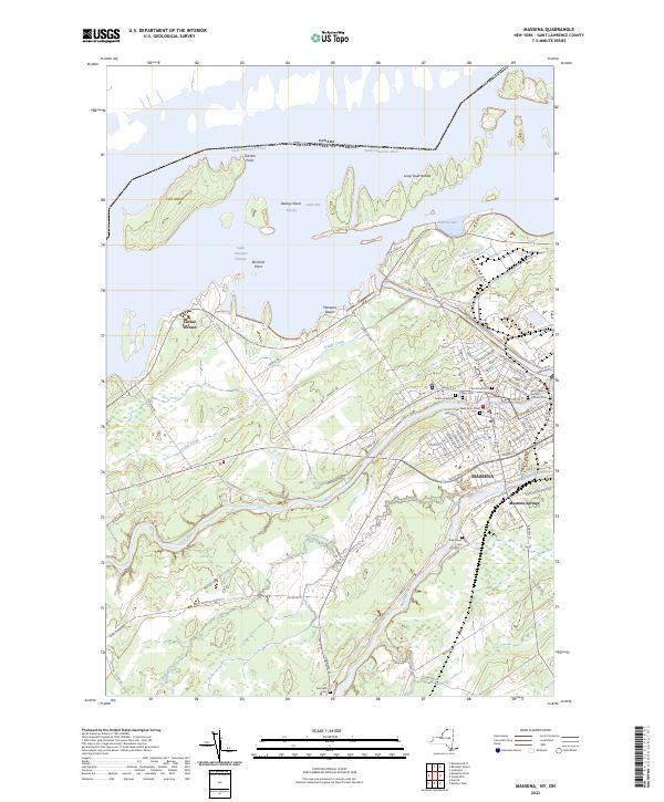
Current Massena GeoPDF Map
1942 Map No. 130474, 1964 Map No. 130477, 1964 Map No. 130478, 1964 Map No. 130479 Louisville FP Detached Parcel, Grantville State Forest Brasher (0%), Louisville (42%), Massena (26%), Norfolk (10%)
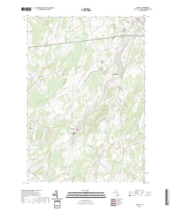
Current Morley GeoPDF Map
1964 Map No. 130672, 1964 Map No. 130673 Lisbon FP Detached Parcel, Upper And Lower Lakes WMA Canton (15%), Lisbon (14%), Madrid (23%), Potsdam (9%)
Current Morrisburg GeoPDF Map
1964 Map No. 130678 NA Louisville (1%), Waddington (8%)
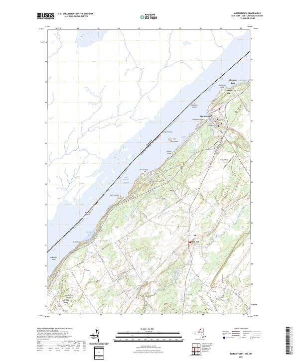
Current Morristown GeoPDF Map
1942 Map No. 130682, 1963 Map No. 130683, 1963 Map No. 130684, 1963 Map No. 130685 NA Hammond (6%), Morristown (47%)
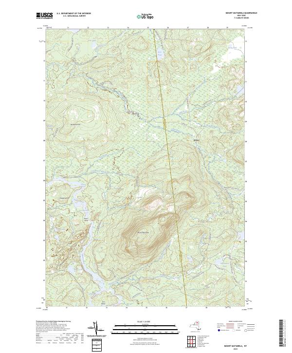
Current Mount Matumbla GeoPDF Map
1968 Map No. 130710, 1968 Map No. 130711 Raquette-Jordan Boreal Primitive Area Hopkinton (3%), Piercefield (25%), Tupper Lake (16%)
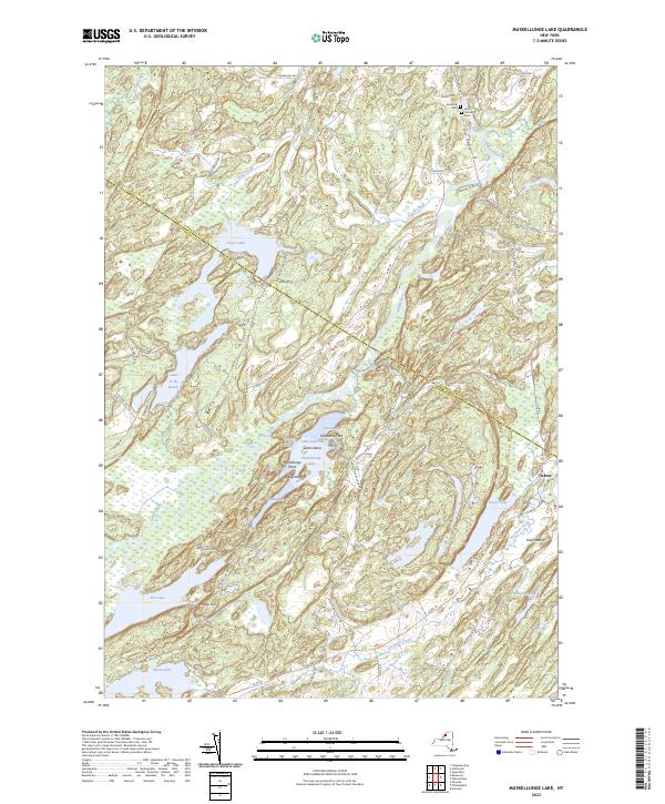
Current Muskellunge Lake GeoPDF Map
1961 Map No. 130739, 1961 Map No. 130740 Lake Of The Woods Waterway Access, Moon Lake Fishing Access, South Hammond State Forest, Pulpit Rock State Forest, Indian River WMA, Grass Lake Fishing Access Antwerp (14%), Hammond (4%), Macomb (0%), Rossie (47%), Theresa (23%)
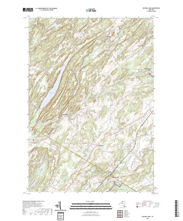
Current Natural Dam GeoPDF Map
1951 Map No. 130771, 1961 Map No. 130772, 1961 Map No. 130773, 1961 Map No. 130774 Pleasant Lake State Forest, Yellow Lake State Forest, Oswegatchie River At Oxbow Fishing Access, Yellow Lake Waterway Access Antwerp (8%), Fowler (3%), Gouverneur (30%), Macomb (8%), Rossie (42%)
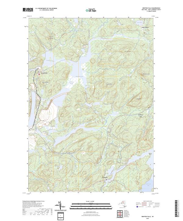
Current Newton Falls GeoPDF Map
1968 Map No. 130853, 1968 Map No. 130854, 1999 Map No. 137415 Cranberry Lake Wild Forest, Alice Brook Primitive Area, Five Ponds Wilderness, Wanakena Primitive Area Clifton (28%), Fine (7%)
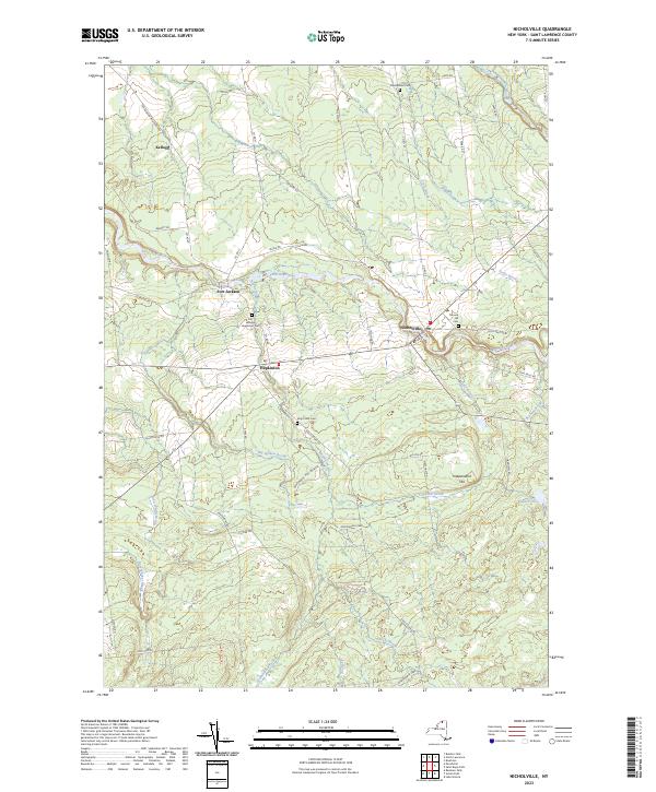
Current Nicholville GeoPDF Map
1964 Map No. 128721, 1964 Map No. 137421 Fort Jackson State Forest, Catherineville State Forest, Whiskey Flats State Forest Hopkinton (19%), Lawrence (33%), Stockholm (3%)
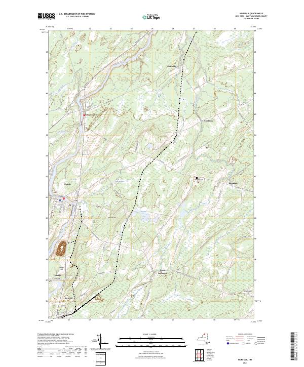
Current Norfolk GeoPDF Map
1942 Map No. 128736, 1964 Map No. 128738 Louisville FP Detached Parcel, Raymondville State Forest, Grantville State Forest, Knapp Station State Forest, Lost Nation State Forest Louisville (2%), Norfolk (66%), Potsdam (0%), Stockholm (14%)
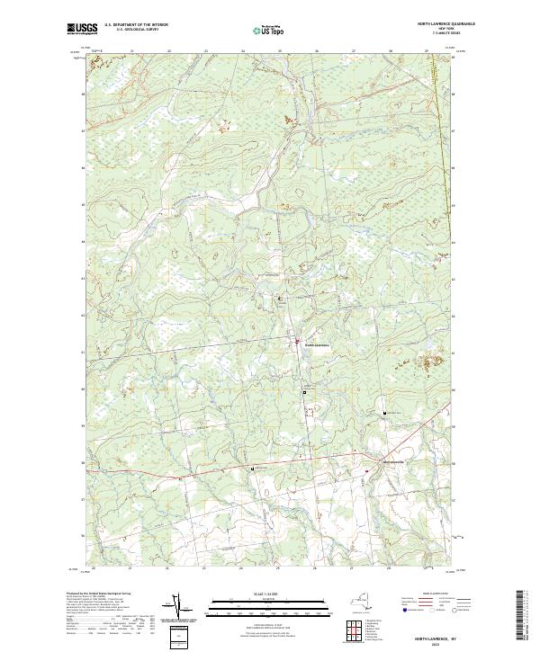
Current North Lawrence GeoPDF Map
1964 Map No. 128754, 1964 Map No. 137467 Bombay State Forest, Brasher State Forest Brasher (29%), Lawrence (53%), Moira (1%), Stockholm (0%)
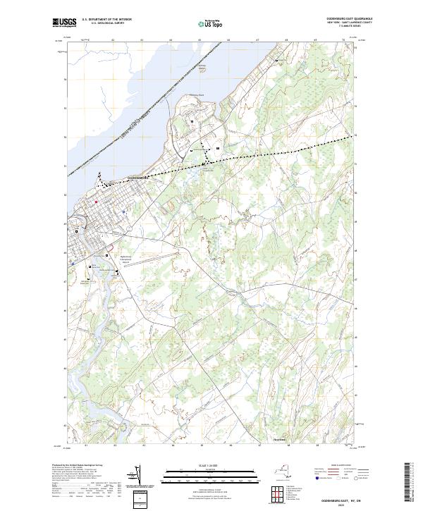
Current Ogdensburg East GeoPDF Map
1963 Map No. 128854, 1963 Map No. 128855 NA Lisbon (16%), Ogdensburg city (87%), Oswegatchie (33%)
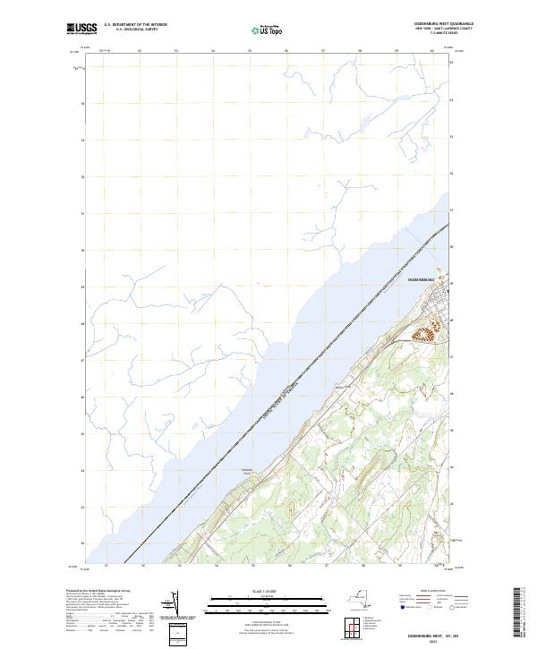
Current Ogdensburg West GeoPDF Map
1963 Map No. 128857, 1963 Map No. 128858 NA Morristown (0%), Ogdensburg city (13%), Oswegatchie (21%)
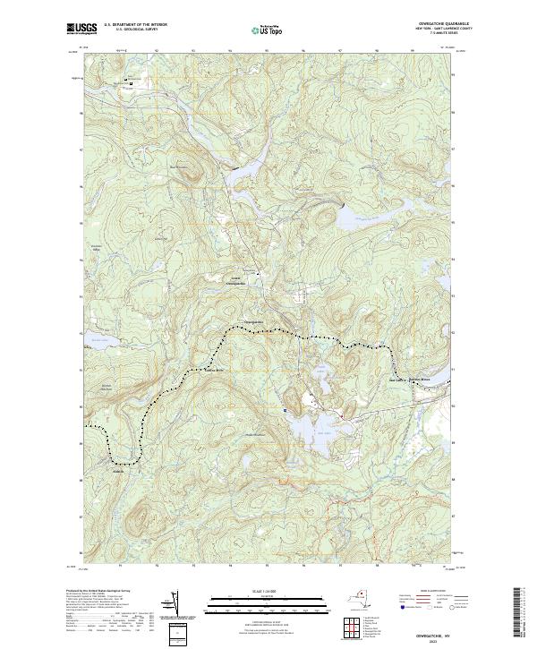
Current Oswegatchie GeoPDF Map
1966 Map No. 135923, 1966 Map No. 137496, 1966 Map No. 137497 Alice Brook Primitive Area, Buck Pond Primitive Area, Five Ponds Wilderness, Aldrich Pond Wild Forest, Sucker Lake Water Access, Tamarack Creek Primitive Area Clifton (8%), Fine (24%)
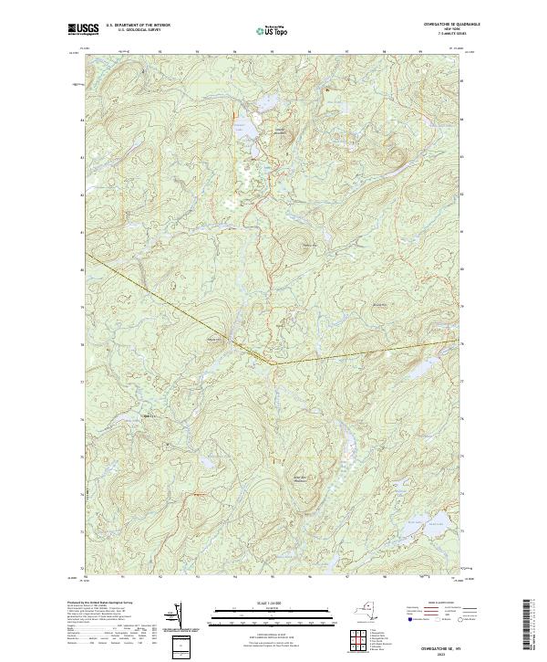
Current Oswegatchie SE GeoPDF Map
1966 Map No. 135918, 1966 Map No. 135920 Buck Pond Primitive Area, Five Ponds Wilderness, Pepperbox Wilderness, Aldrich Pond Wild Forest, Watson’s East Triangle Wild Forest Fine (17%), Webb (5%)
Current Oswegatchie SW GeoPDF Map
1966 Map No. 135921 Five Ponds Wilderness, Aldrich Pond Wild Forest, Watson’s East Triangle Wild Forest Croghan (8%), Diana (13%), Fine (5%), Webb (2%)
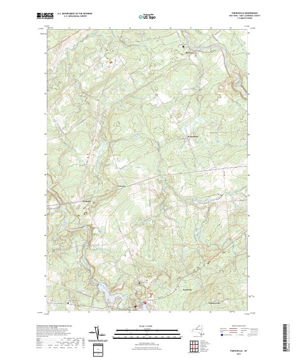
Current Parishville GeoPDF Map
1943 Map No. 135966, 1964 Map No. 135967, 1964 Map No. 135968, 1964 Map No. 136772 Buckton State Forest, Fort Jackson State Forest, Southville State Forest, Whiskey Flats State Forest Hopkinton (5%), Parishville (15%), Stockholm (30%)
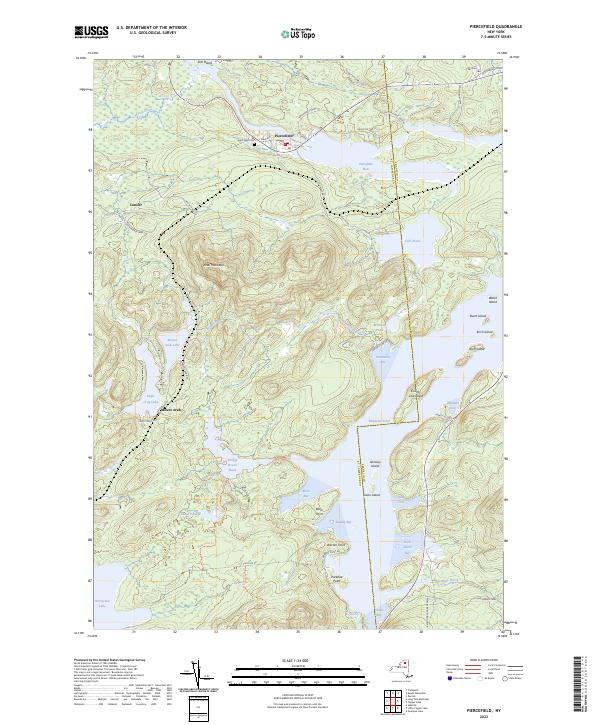
Current Piercefield GeoPDF Map
NA Dead Creek Primitive Area, Horseshoe Lake Wild Forest, Raquette-Jordan Boreal Primitive Area Piercefield (35%), Tupper Lake (11%)
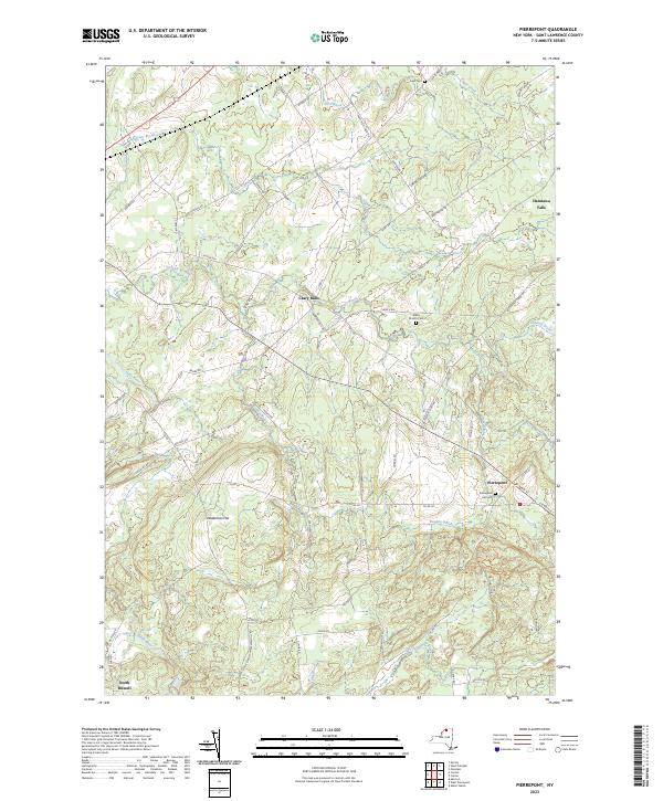
Current Pierrepont GeoPDF Map
1964 Map No. 128994, 1964 Map No. 128995, 1964 Map No. 136800 Crary Mills State Forest, Glenmeal State Forest Canton (13%), Pierrepont (40%), Potsdam (11%), Russell (4%)
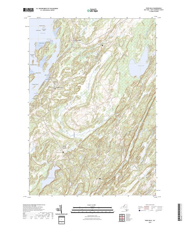
Current Pope Mills GeoPDF Map
1951 Map No. 129068, 1961 Map No. 129069, 1961 Map No. 129070, 1961 Map No. 129071 Hickory Lake State Forest, Pleasant Lake State Forest, Beaver Creek State Forest, Fish Creek WMA Gouverneur (8%), Macomb (68%), Morristown (7%)
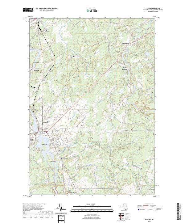
Current Potsdam GeoPDF Map
1943 Map No. 129140, 1964 Map No. 129144, 1964 Map No. 129145, 1964 Map No. 129146 Southville State Forest Norfolk (0%), Parishville (6%), Pierrepont (0%), Potsdam (26%), Stockholm (22%)
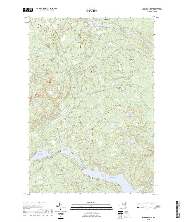
Current Rainbow Falls GeoPDF Map
1964 Map No. 136005, 1964 Map No. 136006, 1964 Map No. 136844 High Flats State Forest, White Hill Wild Forest, Whiskey Flats State Forest Colton (4%), Hopkinton (3%), Parishville (37%)
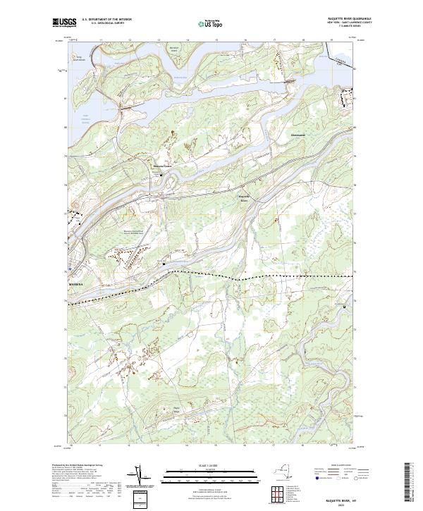
Current Raquette River GeoPDF Map
1946 Map No. 136017, 1964 Map No. 136019, 1964 Map No. 136021 Indian Meadows FP Detached Parcel, Brasher State Forest Brasher (19%), Massena (67%), Norfolk (1%)
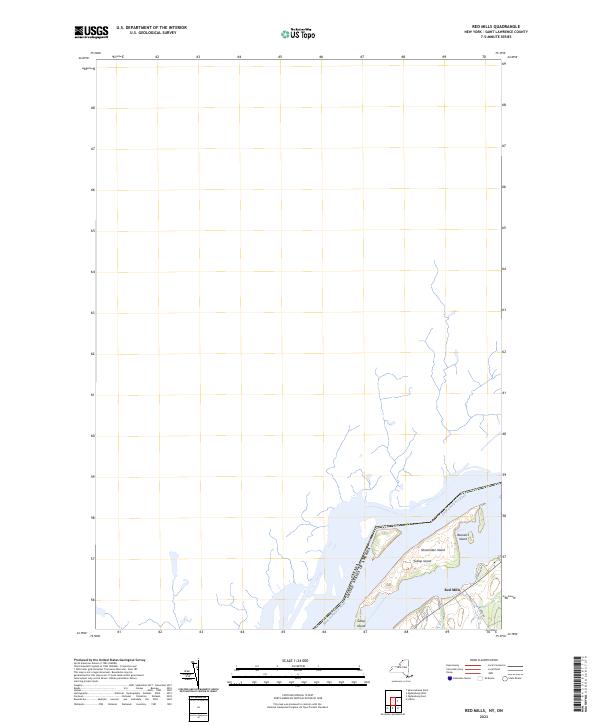
Current Red Mills GeoPDF Map
1963 Map No. 136038 NA Lisbon (4%)
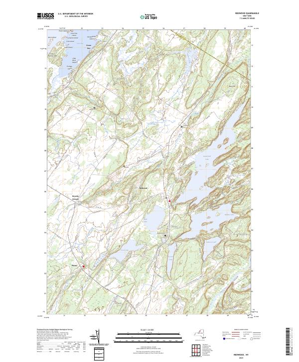
Current Redwood GeoPDF Map
1958 Map No. 136044, 1958 Map No. 136045, 1958 Map No. 136046 Hyde Lake Fishing Access, Millsite Lake Fishing Access, Butterfield Lake Waterway Access, Sixberry Lake Fishing Access, Indian River WMA Alexandria (43%), Hammond (2%), Theresa (21%)
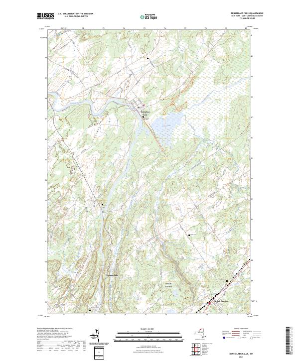
Current Rensselaer Falls GeoPDF Map
1963 Map No. 136055 Dekalb FP Detached Parcel, Upper And Lower Lakes WMA Canton (20%), De Kalb (30%), De Peyster (0%), Lisbon (3%), Oswegatchie (6%)
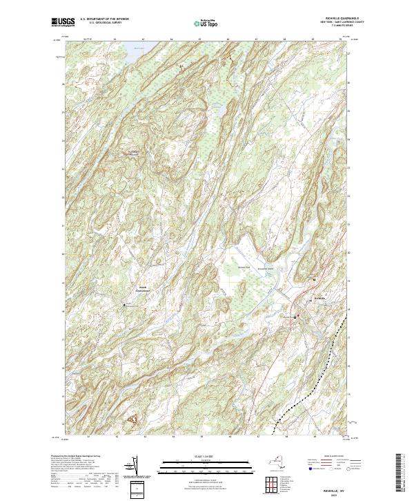
Current Richville GeoPDF Map
1956 Map No. 136073, 1956 Map No. 136074, 1956 Map No. 136859 Beaver Creek State Forest De Kalb (29%), De Peyster (6%), Gouverneur (32%), Hermon (1%), Macomb (4%)
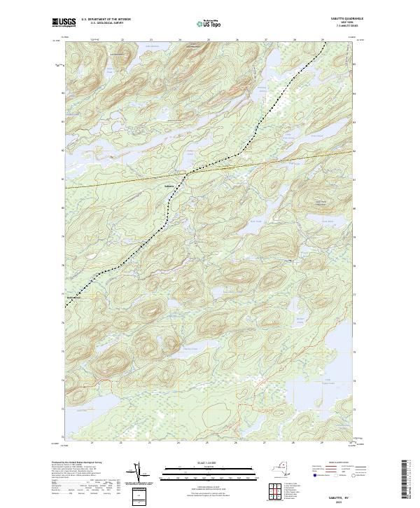
Current Sabattis GeoPDF Map
NA Eastern Five Ponds Access Primitive Area, Five Ponds Wilderness, Horseshoe Lake Wild Forest, Nehasane Primitive Area, Round Lake Wilderness, William C. Whitney Wilderness Colton (5%), Long Lake (8%), Piercefield (3%)
Current Saint Regis Falls GeoPDF Map
NA Deer River State Forest, St. Regis River State Forest, Debar Mountain Wild Forest Dickinson (59%), Hopkinton (3%), Lawrence (7%), Waverly (15%)
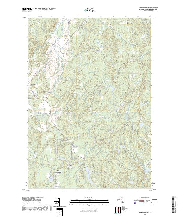
Current South Edwards GeoPDF Map
1969 Map No. 136194, 1969 Map No. 136927 Trout Lake State Forest, Silver Hill State Forest, Stammer Creek State Forest, Bonner Lake State Forest Edwards (38%), Fine (7%), Hermon (2%), Russell (21%)
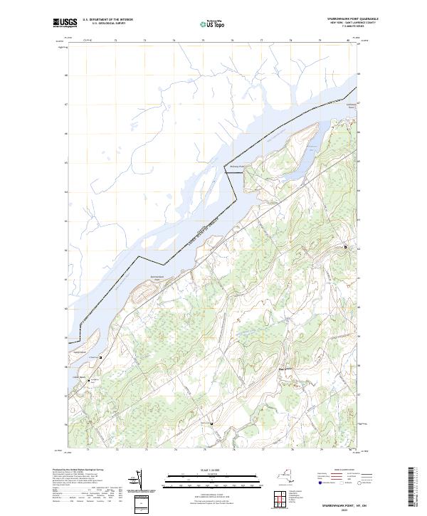
Current Sparrowhawk Point GeoPDF Map
1963 Map No. 139823, 1963 Map No. 139824 Swallow Bluffs WMA Lisbon (19%), Waddington (18%)
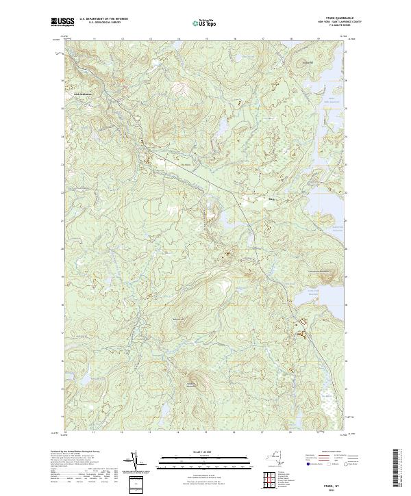
Current Stark GeoPDF Map
1968 Map No. 139876 Grass River Wild Forest, Raquette River Wild Forest, White Hill Wild Forest, Snow Bowl State Forest Colton (16%), Parishville (11%)
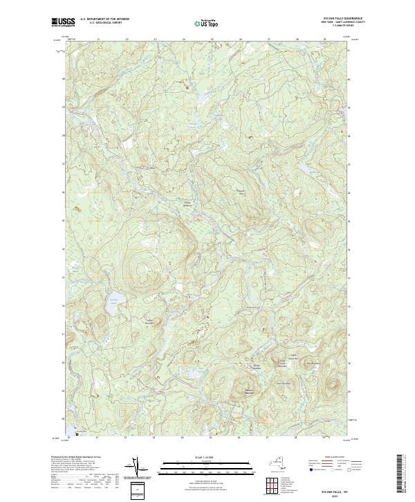
Current Sylvan Falls GeoPDF Map
1964 Map No. 139936 Lake Ozonia Fishing Access Site, White Hill Wild Forest, Catherineville State Forest Hopkinton (24%), Parishville (9%)
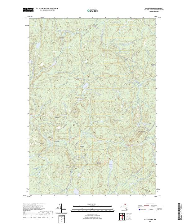
Current Tooley Pond GeoPDF Map
1969 Map No. 139349 Grass River Wild Forest Clare (31%), Clifton (10%), Colton (3%)
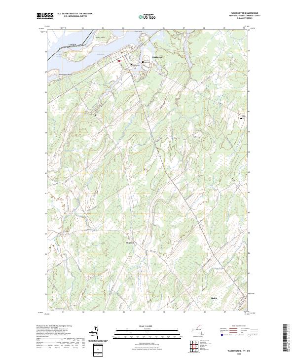
Current Waddington GeoPDF Map
1942 Map No. 139508, 1964 Map No. 139512, 1964 Map No. 139513 Waddington FP Detached Parcel Lisbon (0%), Madrid (28%), Waddington (63%)
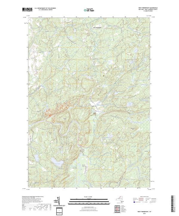
Current West Pierrepont GeoPDF Map
1969 Map No. 137013, 1969 Map No. 140195 Grass River Wild Forest, Taylor Creek State Forest, Degrasse State Forest, Glenmeal State Forest, Downerville State Forest, Whippoorwill Corners State Forest Clare (24%), Pierrepont (18%), Russell (20%)
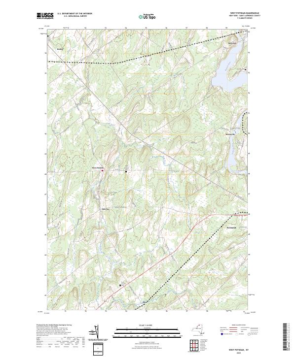
Current West Potsdam GeoPDF Map
1964 Map No. 140216 NA Canton (0%), Madrid (4%), Potsdam (49%)
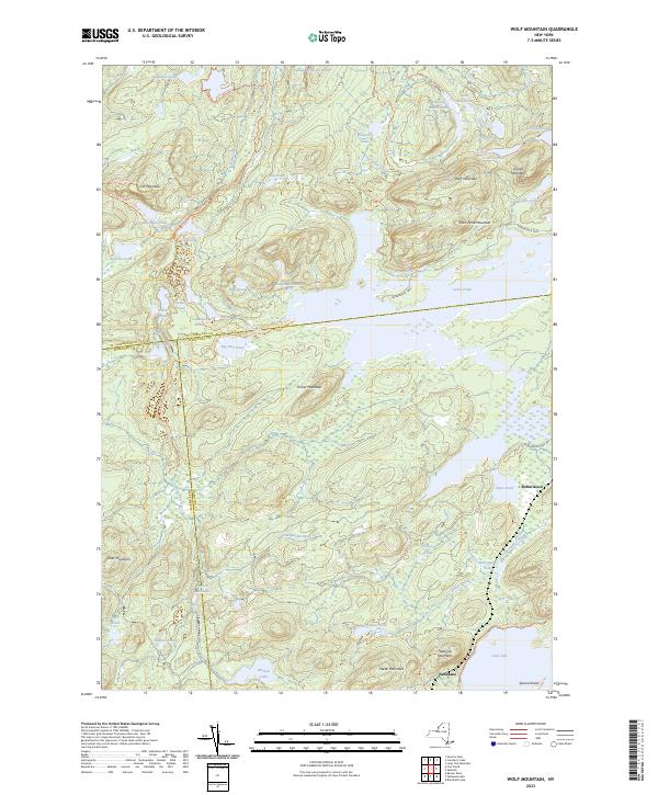
Current Wolf Mountain GeoPDF Map
1968 Map No. 140367, 1968 Map No. 140368, 1999 Map No. 137042 Eastern Five Ponds Access Primitive Area, Five Ponds Wilderness, Partlow Lake Primitive Area, Nehasane Primitive Area, William C. Whitney Wilderness Clifton (12%), Colton (1%), Long Lake (6%), Webb (1%)

Steuben County

PDF (50-60 MB Download) Historical USGS Topo Maps State Lands (Links to DEC Website) Towns (Percent of Town’s Area)
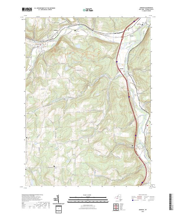
Current Addison GeoPDF Map
1953 Map No. 136532, 1953 Map No. 136533, 1969 Map No. 136534, 1969 Map No. 136535, 1969 Map No. 137053 Mccarthy Hill State Forest, Erwin Mountain State Forest Addison (23%), Erwin (24%), Lindley (64%), Tuscarora (43%)
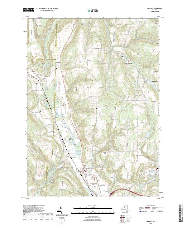
Current Arkport GeoPDF Map
1965 Map No. 136691, 1965 Map No. 136692, 1965 Map No. 136693 NA Almond (4%), Burns (22%), Dansville (62%), Fremont (24%), Hornell city (10%), Hornellsville (14%), Ossian (7%)
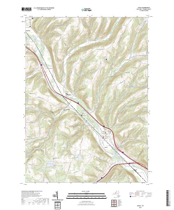
Current Avoca GeoPDF Map
1953 Map No. 136754, 1953 Map No. 136755, 1953 Map No. 136756, 1953 Map No. 136757 Cohocton River Fishing Access Avoca (86%), Bath (0%), Cohocton (15%), Howard (4%), Prattsburgh (3%), Wheeler (25%)
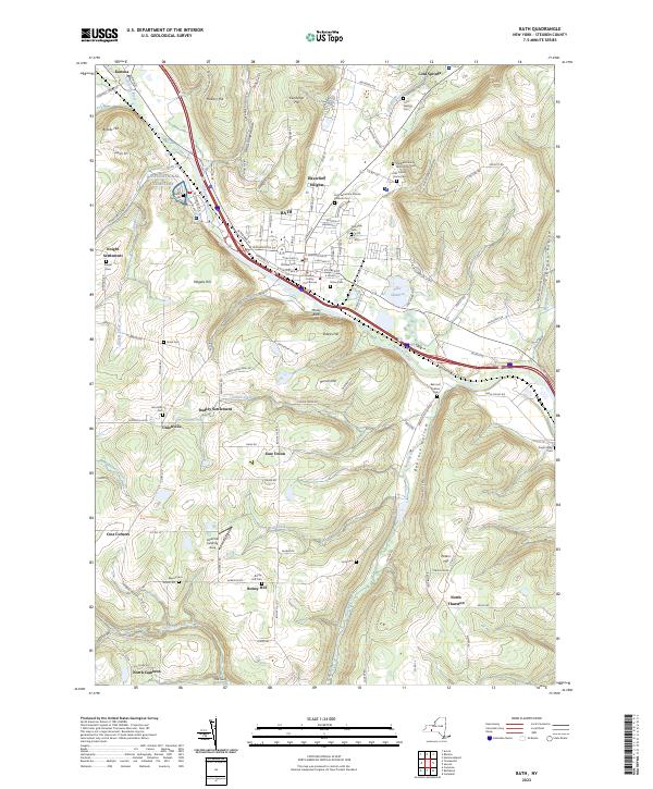
Current Bath GeoPDF Map
1953 Map No. 123205, 1953 Map No. 123206, 1953 Map No. 123207 Mount Washington Multiple Use Area, Moss Hill State Forest, Bath Fish Hatchery Bath (46%), Cameron (6%), Thurston (20%), Urbana (3%)
Current Beaver Dams GeoPDF Map
1953 Map No. 123229, 1953 Map No. 123230, 1953 Map No. 137095 Beaver Dams State Forest, Sugar Hill State Forest, Coon Hollow State Forest Catlin (33%), Dix (74%), Hornby (8%), Orange (22%)
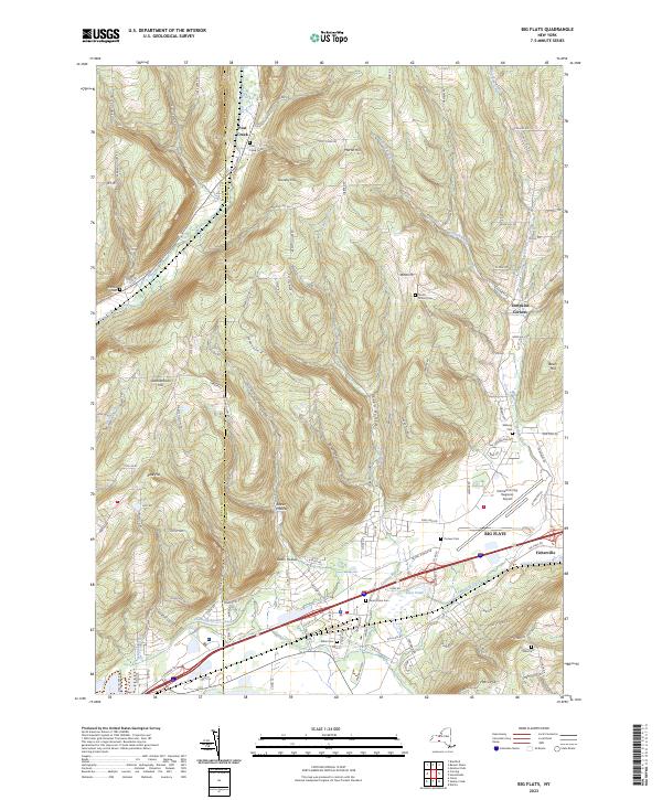
Current Big Flats GeoPDF Map
1953 Map No. 123273, 1953 Map No. 123274, 1969 Map No. 123275, 1969 Map No. 123276, 1969 Map No. 123277 Catlin State Forest Big Flats (53%), Catlin (42%), Corning (24%), Hornby (16%)
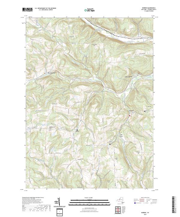
Current Borden GeoPDF Map
1953 Map No. 123363, 1953 Map No. 123364, 1953 Map No. 123365 NA Addison (13%), Rathbone (31%), Tuscarora (57%), Woodhull (35%)
Current Bradford GeoPDF Map
1953 Map No. 123380, 1953 Map No. 123381, 1953 Map No. 137123 Goundry Hill State Forest, Beaver Dams State Forest, Sugar Hill State Forest, South Bradford State Forest, Meads Creek State Forest, Birdseye Hollow State Forest, Cinnamon Lake State Forest, Dry Run State Forest, Coon Hollow State Forest Bradford (33%), Campbell (5%), Hornby (22%), Orange (66%)
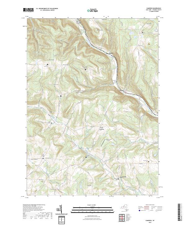
Current Cameron GeoPDF Map
1953 Map No. 123171, 1953 Map No. 123172, 1953 Map No. 137144 Cameron Mills State Forest, Cameron State Forest, West Cameron WMA Cameron (65%), Canisteo (15%), Jasper (20%), Rathbone (8%), Woodhull (6%)
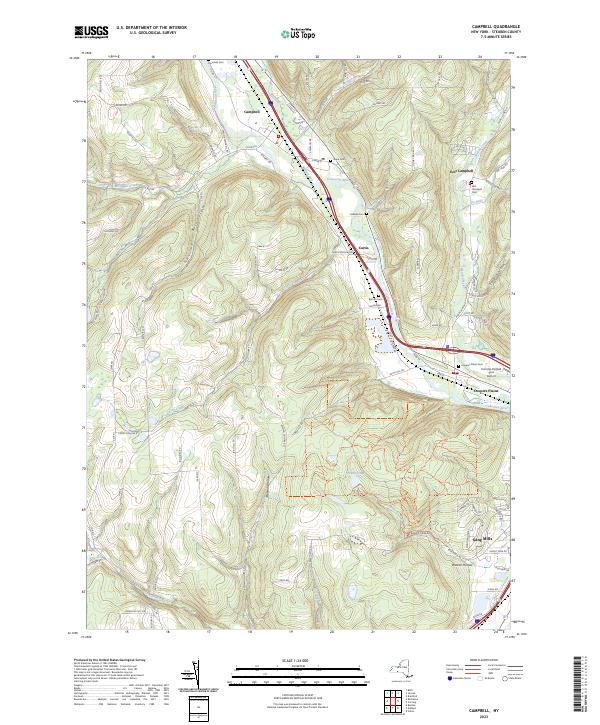
Current Campbell GeoPDF Map
1953 Map No. 123071, 1953 Map No. 123072, 1969 Map No. 123073, 1969 Map No. 123074, 1969 Map No. 123075 Meads Creek State Forest, Erwin Mountain State Forest, Erwin WMA, NA Addison (39%), Campbell (59%), Erwin (40%), Thurston (15%)
Current Canisteo GeoPDF Map
1954 Map No. 122780, 1954 Map No. 122781, 1954 Map No. 122782 Burt Hill Multiple Use Area Canisteo (25%), Fremont (15%), Hartsville (0%), Hornellsville (11%), Howard (52%)
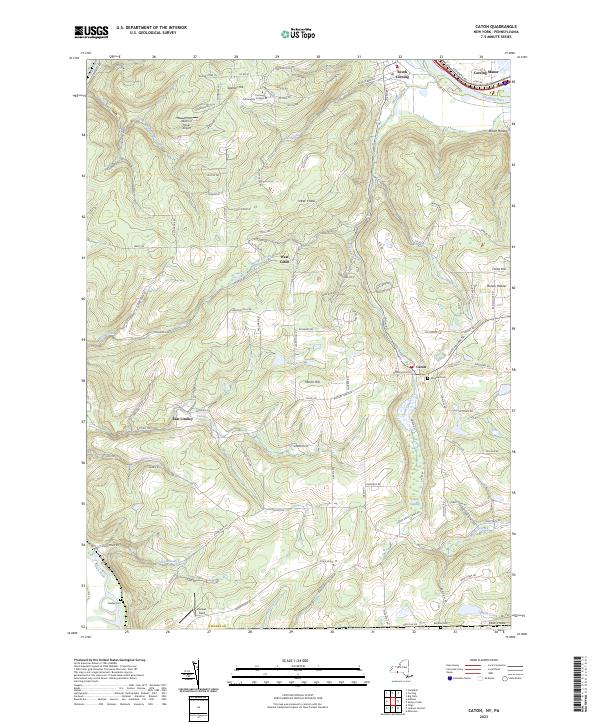
Current Caton GeoPDF Map
1953 Map No. 122853, 1953 Map No. 122854, 1969 Map No. 122855, 1969 Map No. 137159 NA Caton (71%), Corning (27%), Erwin (13%), Lindley (36%)
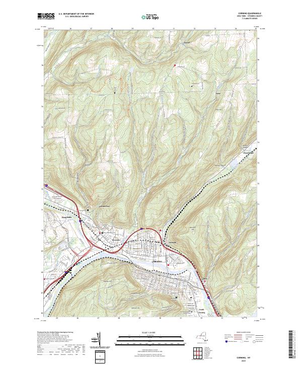
Current Corning GeoPDF Map
1953 Map No. 137825, 1953 Map No. 137826, 1969 Map No. 137827, 1969 Map No. 137828, 1969 Map No. 137829 West Hill State Forest, Meads Creek State Forest, Dry Run State Forest, Erwin Hollow State Forest, NA Campbell (16%), Corning city (100%), Corning (39%), Erwin (23%), Hornby (54%)
Current Dansville GeoPDF Map
1942 Map No. 137198, 1942 Map No. 137957, 1942 Map No. 137958, 1942 Map No. 137961 NA Dansville (20%), North Dansville (100%), Ossian (17%), Sparta (44%), Springwater (8%), Wayland (20%), West Sparta (13%)
Current Greenwood GeoPDF Map
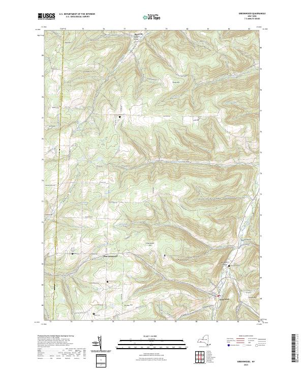
1965 Map No. 129641, 1965 Map No. 129642, 1978 Map No. 129643 Rock Creek State Forest, Greenwood State Forest Alfred (6%), Andover (4%), Canisteo (0%), Greenwood (67%), Hartsville (66%)
Current Hammondsport GeoPDF Map
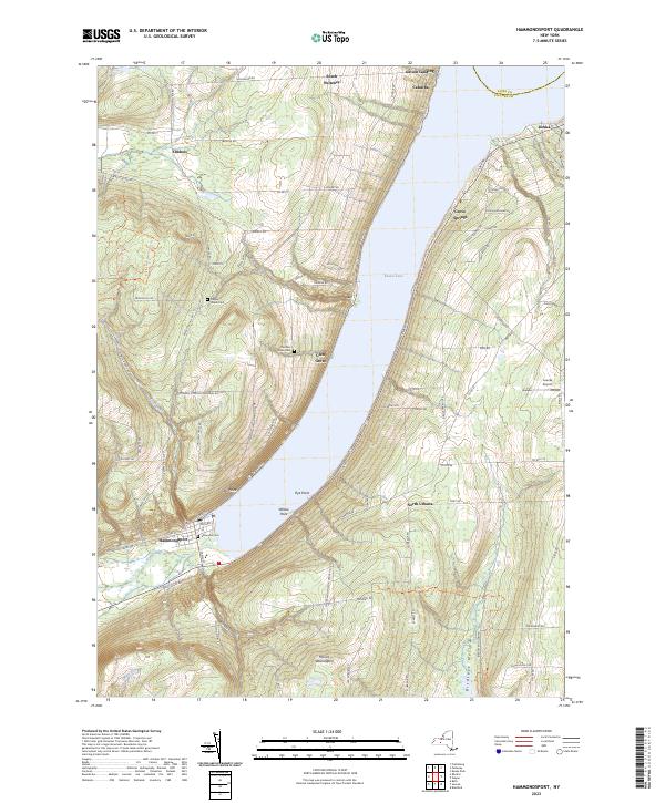
1953 Map No. 129688, 1953 Map No. 129689, 1953 Map No. 129690, 1953 Map No. 129691 Urbana State Forest, Mount Washington Multiple Use Area, Birdseye Hollow State Forest, Cold Brook WMA Bradford (8%), Jerusalem (1%), Prattsburgh (1%), Pulteney (30%), Urbana (60%), Wayne (66%)
Current Haskinville GeoPDF Map
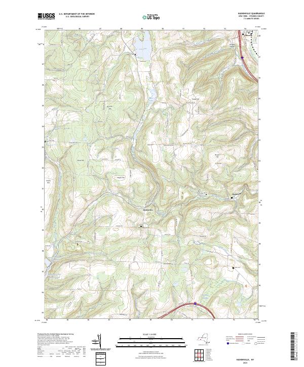
1965 Map No. 129833, 1978 Map No. 129832 NA Avoca (7%), Cohocton (18%), Dansville (17%), Fremont (56%), Howard (13%), Wayland (21%)
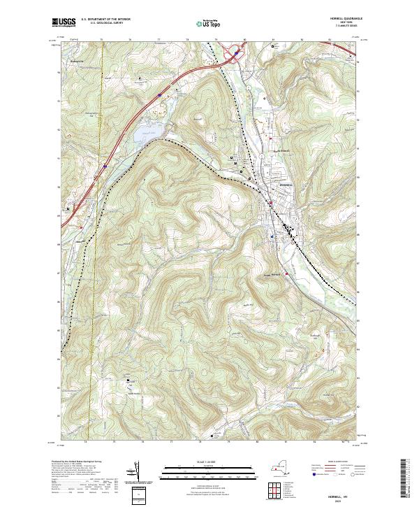
Current Hornell GeoPDF Map
1965 Map No. 129772, 1965 Map No. 129773, 1978 Map No. 129771 Canacadea State Forest, Bully Hill State Forest Alfred (4%), Almond (11%), Fremont (4%), Hartsville (33%), Hornell city (90%), Hornellsville (75%)
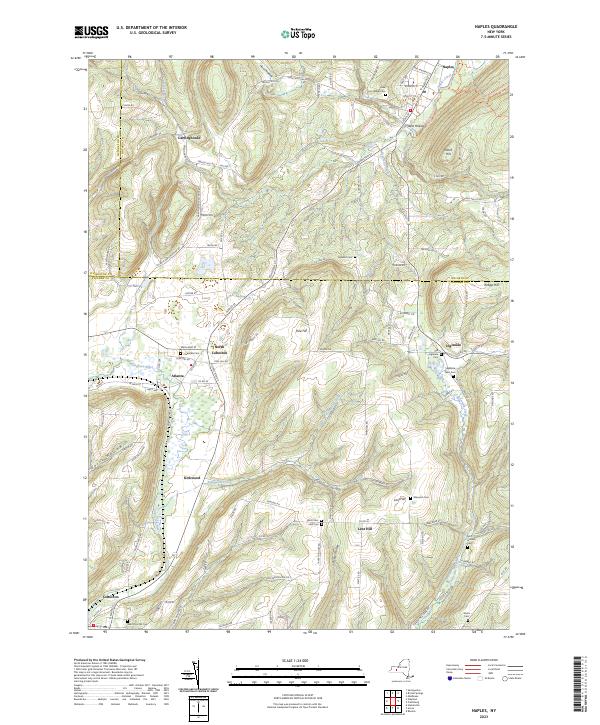
Current Naples GeoPDF Map
1942 Map No. 130756, 1942 Map No. 130761, 1942 Map No. 137395 High Tor WMA Cohocton (47%), Naples (49%), Prattsburgh (15%), Springwater (3%)
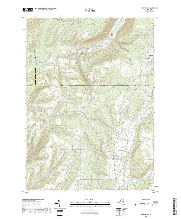
Current Prattsburg GeoPDF Map
1942 Map No. 129177, 1942 Map No. 129178 Italy Hill State Forest, High Tor WMA – Parrish Gully, High Tor WMA Italy (50%), Naples (4%), Prattsburgh (65%)
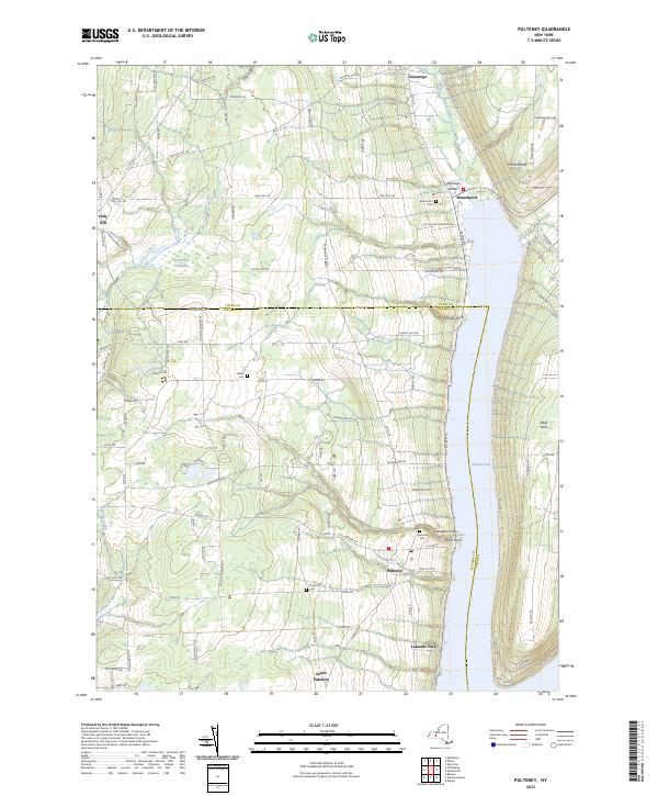
Current Pulteney GeoPDF Map
1942 Map No. 129195, 1942 Map No. 129196 Italy Hill State Forest Italy (3%), Jerusalem (40%), Prattsburgh (4%), Pulteney (70%)
Current Rathbone GeoPDF Map
1953 Map No. 136022, 1953 Map No. 136023 Tracy Creek State Forest, Cameron Mills State Forest, Helmer Creek WMA Addison (24%), Cameron (16%), Rathbone (55%), Thurston (60%)
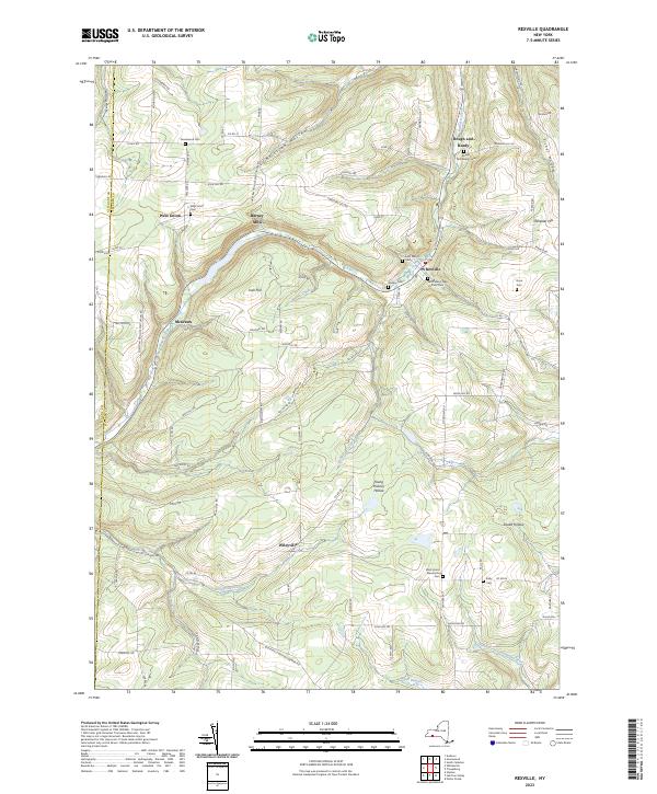
Current Rexville GeoPDF Map
1965 Map No. 136058, 1965 Map No. 136059 NA Andover (1%), Greenwood (25%), Independence (2%), Troupsburg (5%), West Union (100%)
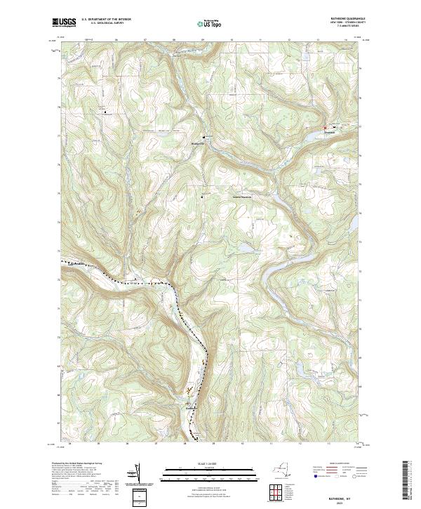
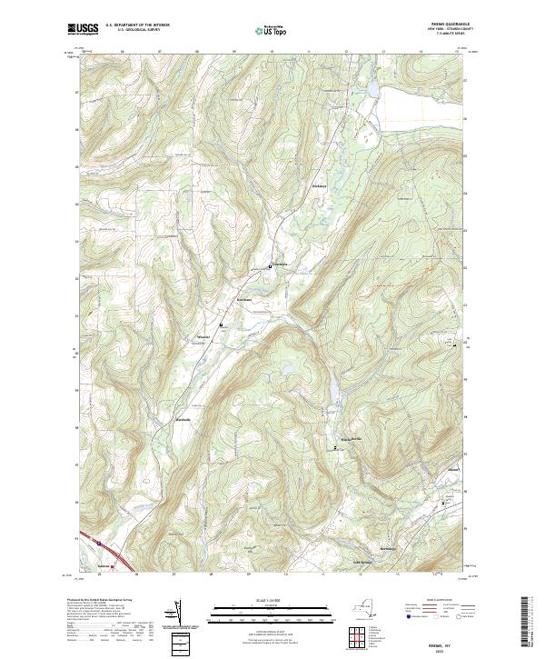
Current Rheims GeoPDF Map
1953 Map No. 136060, 1953 Map No. 136061 Urbana State Forest, Pigtail Hollow State Forest, Keuka Lake Inlet Parking Area, Bath Fish Hatchery Avoca (0%), Bath (3%), Prattsburgh (12%), Urbana (26%), Wheeler (75%)
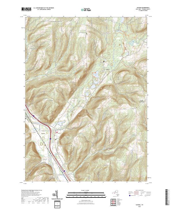
Current Savona GeoPDF Map
1953 Map No. 129409, 1953 Map No. 129410, 1953 Map No. 129411, 1953 Map No. 129412 South Bradford State Forest, Mount Washington Multiple Use Area, Moss Hill State Forest, Meads Creek State Forest, Birdseye Hollow State Forest Bath (27%), Bradford (56%), Campbell (20%), Thurston (5%), Urbana (12%)
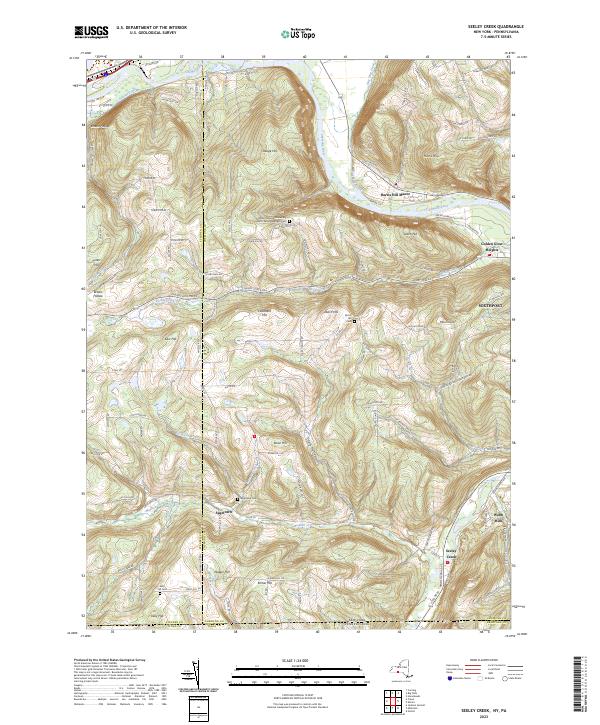
Current Seeley Creek GeoPDF Map
1953 Map No. 136130, 1953 Map No. 136131, 1969 Map No. 136132, 1969 Map No. 136133, 1969 Map No. 136134 Big Flats WMA Big Flats (34%), Caton (29%), Corning (11%), Southport (52%)
Current South Canisteo GeoPDF Map
1954 Map No. 136193, 1954 Map No. 136926 Turkey Ridge State Forest Canisteo (51%), Greenwood (6%), Hartsville (0%), Jasper (48%)
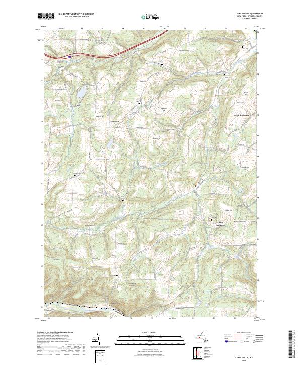
Current Towlesville GeoPDF Map
1953 Map No. 139354, 1953 Map No. 139355 Cameron State Forest Avoca (7%), Bath (24%), Cameron (13%), Canisteo (9%), Howard (31%)
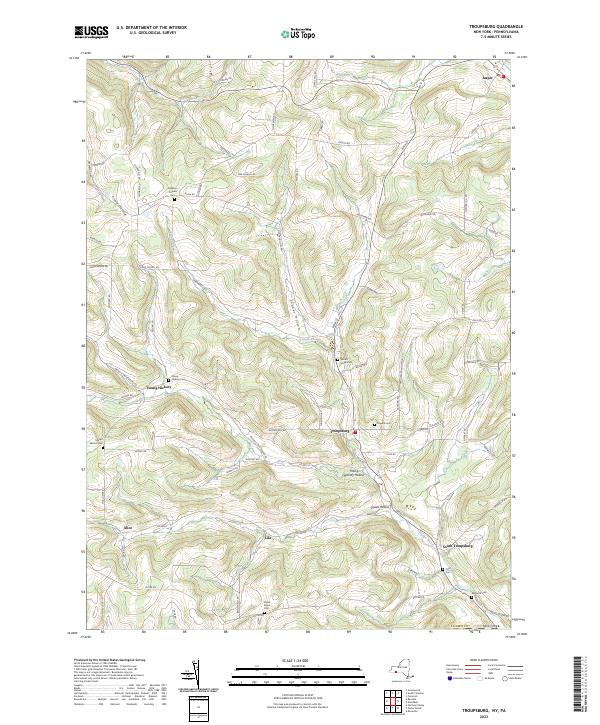
Current Troupsburg GeoPDF Map
1954 Map No. 139364, 1954 Map No. 139365, 1954 Map No. 139366 NA Greenwood (2%), Jasper (22%), Troupsburg (70%)
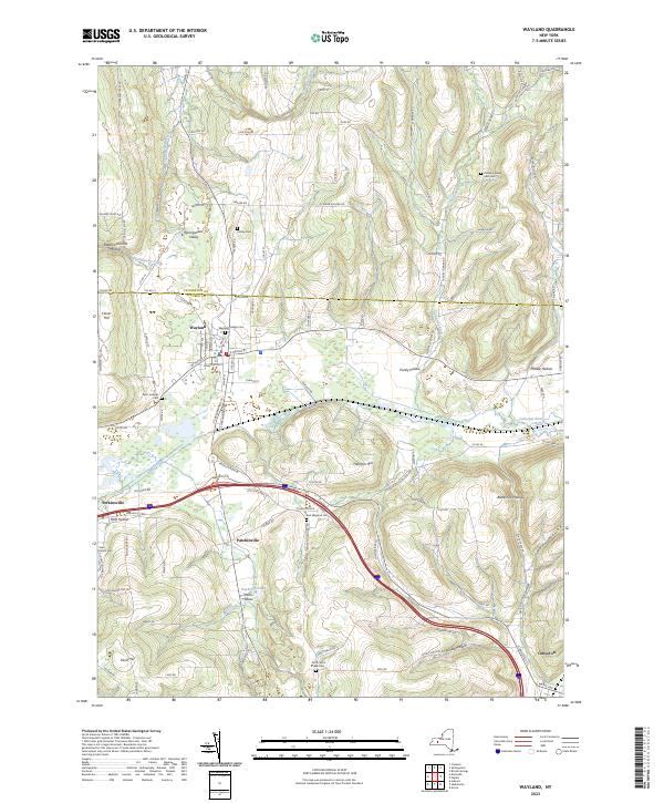
Current Wayland GeoPDF Map
1943 Map No. 140081, 1953 Map No. 140079 Mill Creek Fishing Access Cohocton (20%), Dansville (1%), Springwater (38%), Wayland (59%)
Current Wayne GeoPDF Map
1953 Map No. 140089, 1953 Map No. 140090 Sugar Hill State Forest, Waneta Lamoka WMA Barrington (16%), Bradford (4%), Jerusalem (0%), Orange (10%), Tyrone (89%), Wayne (33%)
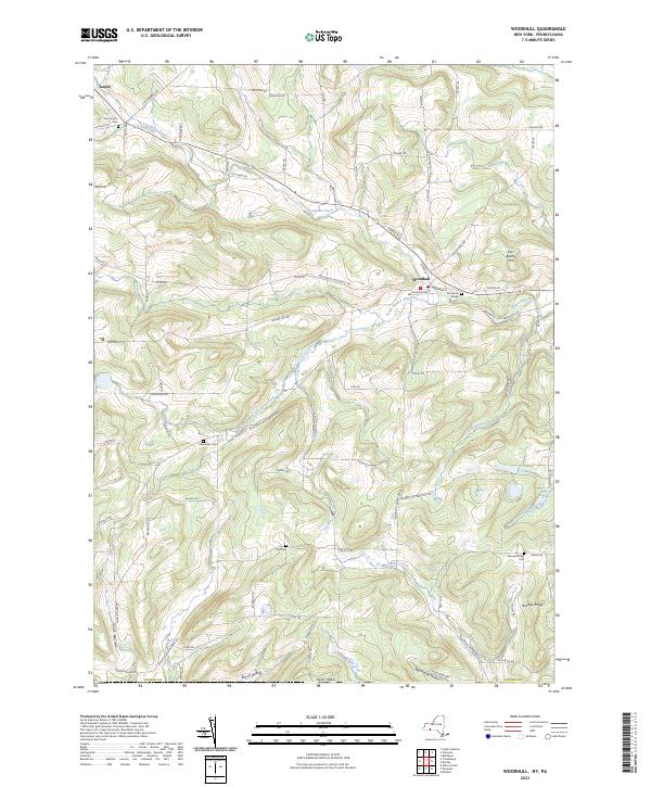
Current Woodhull GeoPDF Map
1953 Map No. 140369, 1953 Map No. 140370 NA Jasper (10%), Rathbone (6%), Troupsburg (25%), Woodhull (60%)

Suffolk County

PDF (50-60 MB Download) Historical USGS Topo Maps State Lands (Links to DEC Website) Towns (Percent of Town’s Area)
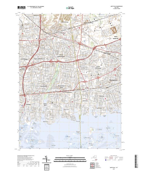
Current Amityville GeoPDF Map
1947 Map No. 136609, 1954 Map No. 136610, 1969 Map No. 136611, 1969 Map No. 136612, 1994 Map No. 137067 Babylon Marsh-Elder And Petteanger Isl Stw Babylon (34%), Hempstead (4%), Oyster Bay (23%)
Current Bay Shore East GeoPDF Map
NA Ludlow Creek State Tidal Wetland, Pepperidge Hall Marsh State Tidal Wetland, Pickman-Rimmer State Tidal Wetland, Timber Point State Tidal Wetland Brookhaven (2%), Islip (34%)
Current Bay Shore West GeoPDF Map
NA Isbrandtsen Marsh State Tidal Wetland Babylon (51%), Islip (15%)
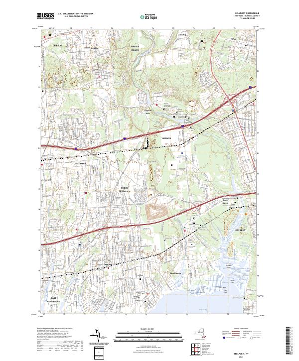
Current Bellport GeoPDF Map
1947 Map No. 123237, 1956 Map No. 123238, 1967 Map No. 123239, 1967 Map No. 137099, 1967 Map No. 137100 Carmans River Pine Barrens State Forest, East Bartlett Pine Barrens State Forest, Longwood Pine Barrens State Forest, Bellport Bay State Tidal Wetland, Fireplace Neck State Tidal Wetland Brookhaven (17%)
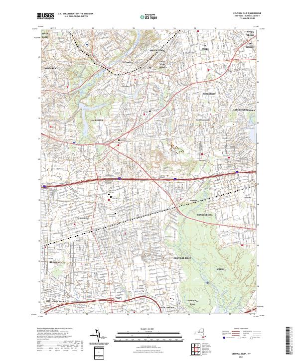
Current Central Islip GeoPDF Map
1947 Map No. 122885, 1956 Map No. 122886, 1956 Map No. 122887, 1967 Map No. 122888, 1967 Map No. 122889, 1967 Map No. 122890, 1967 Map No. 122892 Kings Park, Lake Ronkonkoma Boat Launch Brookhaven (0%), Islip (25%), Smithtown (40%)
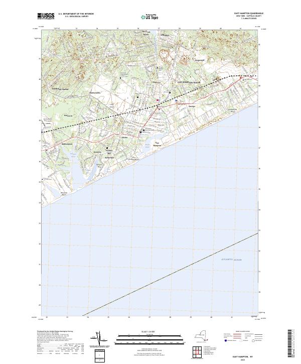
Current East Hampton GeoPDF Map
1947 Map No. 138012, 1956 Map No. 138013, 1956 Map No. 138014, 1956 Map No. 138015, 1956 Map No. 138016 NA East Hampton (29%), Southampton (0%)
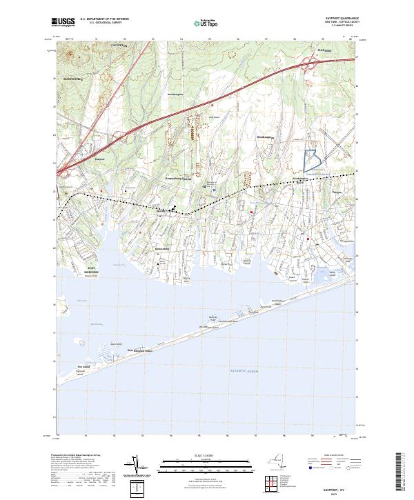
Current Eastport GeoPDF Map
1947 Map No. 138028, 1956 Map No. 138029, 1956 Map No. 138030 Eastport Pine Barrens State Forest, Westhampton Dwarf Pine Plains Pine Barrens State Forest, Otis Pike Pine Barrens State Forest – Toppings Path, Moriches Bay Marine Waterway Access, David A. Sarnoff Pine Barrens State Forest, Havens Point State Tidal Wetland, Moneyboque Bay State Tidal Wetland Brookhaven (3%), Southampton (16%)
Current Gardiners Island East GeoPDF Map
NA Napeague Harbor State Tidal Wetland East Hampton (12%)
Current Gardiners Island West GeoPDF Map
NA Accabonac Marsh State Tidal Wetland, Northwest Harbor State Tidal Wetland East Hampton (22%)
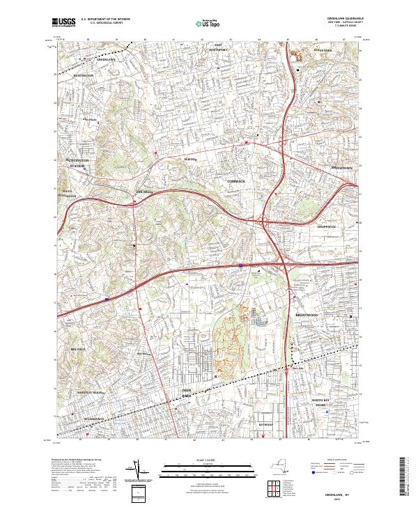
Current Greenlawn GeoPDF Map
1947 Map No. 129614, 1954 Map No. 129615, 1954 Map No. 129616, 1967 Map No. 129617, 1967 Map No. 137231, 1967 Map No. 137232, 1979 Map No. 129618 Edgewood Oak Brush Plains State Forest Babylon (10%), Huntington (31%), Islip (7%), Smithtown (19%)
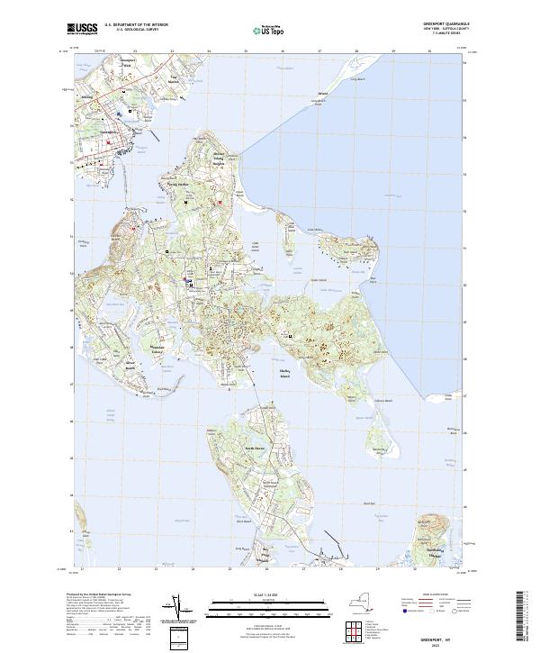
Current Greenport GeoPDF Map
1947 Map No. 129619, 1956 Map No. 129620, 1956 Map No. 129622, 1956 Map No. 129623 Linda A. Gronlund Memorial Nature State Forest At Barcelona Neck, Little Northwest Creek State Tidal Wetland, North Haven State Tidal Wetland, Shelter Island State Tidal Wetland East Hampton (5%), Shelter Island (94%), Southampton (5%), Southold (5%)
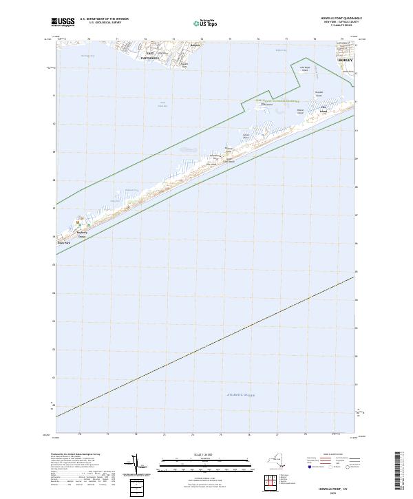
Current Howells Point GeoPDF Map
1947 Map No. 129797, 1956 Map No. 129793, 1956 Map No. 129794, 1967 Map No. 129791, 1967 Map No. 129795, 1967 Map No. 129796 Lymans Marsh State Tidal Wetland Brookhaven (6%)
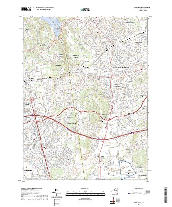
Current Huntington GeoPDF Map
1947 Map No. 129952, 1954 Map No. 129954, 1954 Map No. 129955, 1967 Map No. 130047, 1967 Map No. 137270 NA Babylon (3%), Huntington (33%), Oyster Bay (20%)
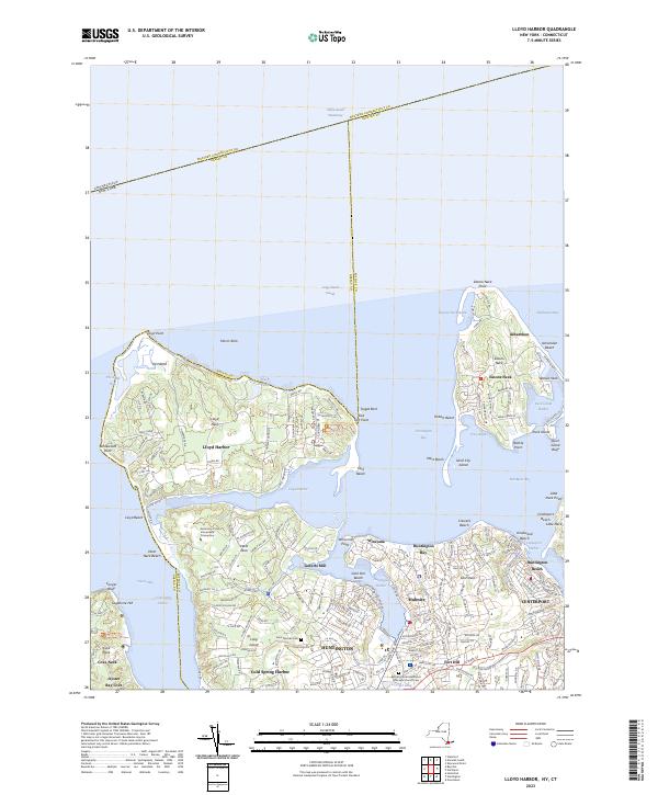
Current Lloyd Harbor GeoPDF Map
1954 Map No. 130306, 1954 Map No. 130307, 1967 Map No. 130308, 1967 Map No. 137367 NA Huntington (21%), Oyster Bay (1%)
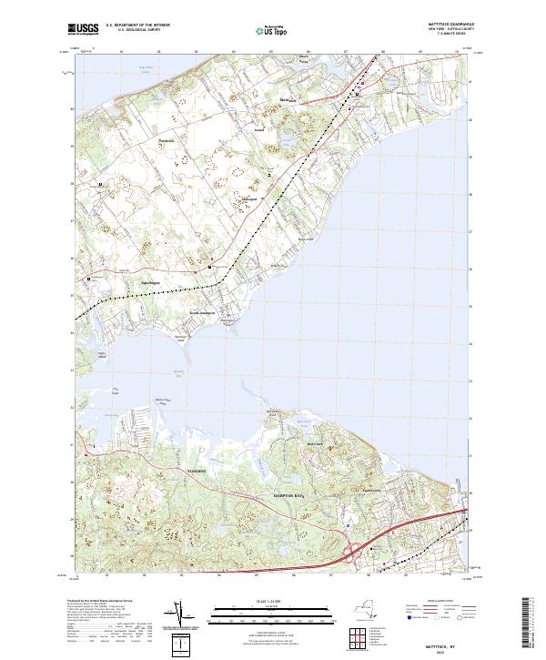
Current Mattituck GeoPDF Map
1947 Map No. 130485, 1956 Map No. 130486, 1956 Map No. 130487, 1956 Map No. 130488, 1956 Map No. 130489 Henry’s Hollow Pine Barrens State Forest, David A. Sarnoff Pine Barrens State Forest, Laurel Lake Waterway Access Riverhead (22%), Southampton (12%), Southold (18%)
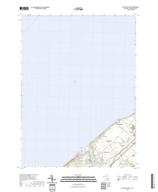
Current Mattituck Hills GeoPDF Map
1947 Map No. 130482, 1956 Map No. 130483, 1956 Map No. 130484 Mattituck Creek Waterway Access Site, Oregon Marsh State Tidal Wetland Southold (8%)
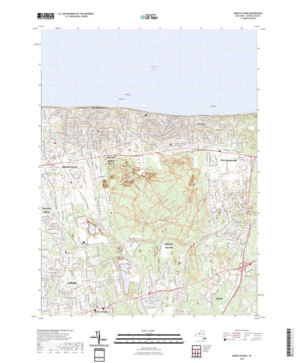
Current Middle Island GeoPDF Map
1947 Map No. 130546, 1947 Map No. 130547, 1956 Map No. 130548, 1967 Map No. 130550 East Bartlett Pine Barrens State Forest, Brookhaven Pine Barrens State Forest, Longwood Pine Barrens State Forest, Rocky Point Pine Barrens State Forest, Ridge Pine Barrens State Forest And Maintenance Center Brookhaven (12%)
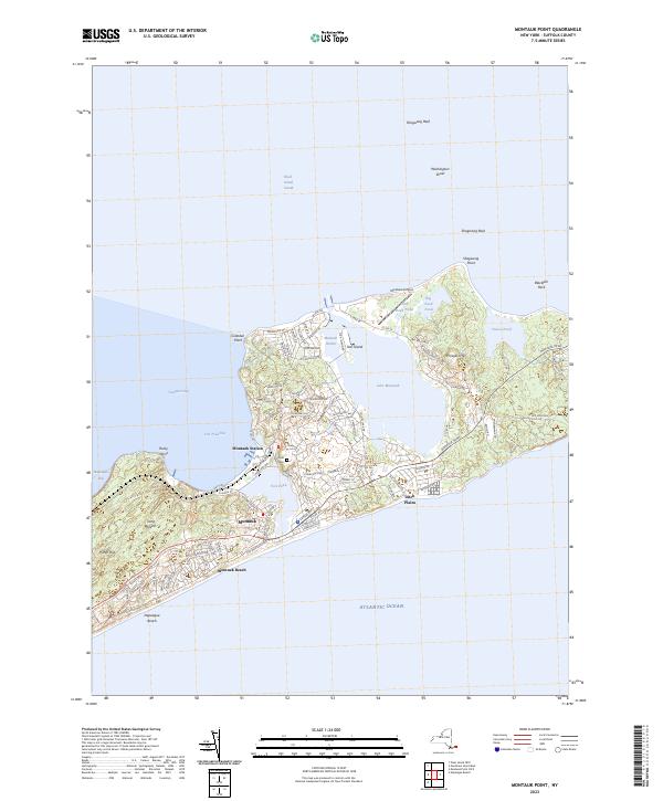
Current Montauk Point GeoPDF Map
1942 Map No. 130612, 1956 Map No. 130613, 1956 Map No. 130614 NA East Hampton (20%)
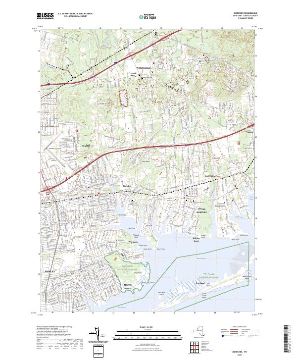
Current Moriches GeoPDF Map
1957 Map No. 130668, 1967 Map No. 130669, 1967 Map No. 130671 Eastport Pine Barrens State Forest, Otis Pike Pine Barrens State Forest – West, Mastic-Shirley Conservation Area, Johns Neck State Tidal Wetland, Tuthill Cove State Tidal Wetland Brookhaven (17%), Poospatuck Reservation (100%)
Current Mystic GeoPDF Map
NA NA Southold (3%)
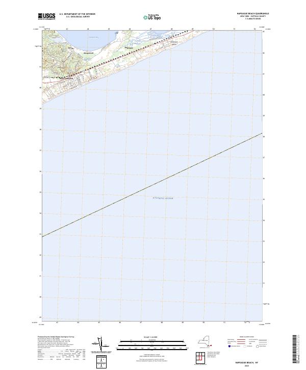
Current Napeague Beach GeoPDF Map
1947 Map No. 130747, 1956 Map No. 130748, 1956 Map No. 130749, 1956 Map No. 130750 Napeague Harbor State Tidal Wetland East Hampton (6%)
Current New London GeoPDF Map
NA NA Southold (2%)
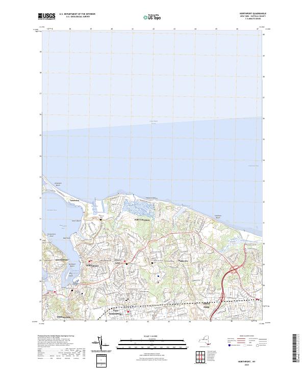
Current Northport GeoPDF Map
1947 Map No. 128792, 1954 Map No. 128793, 1954 Map No. 128794, 1967 Map No. 128795, 1967 Map No. 128797 Kings Park Huntington (15%), Smithtown (12%)
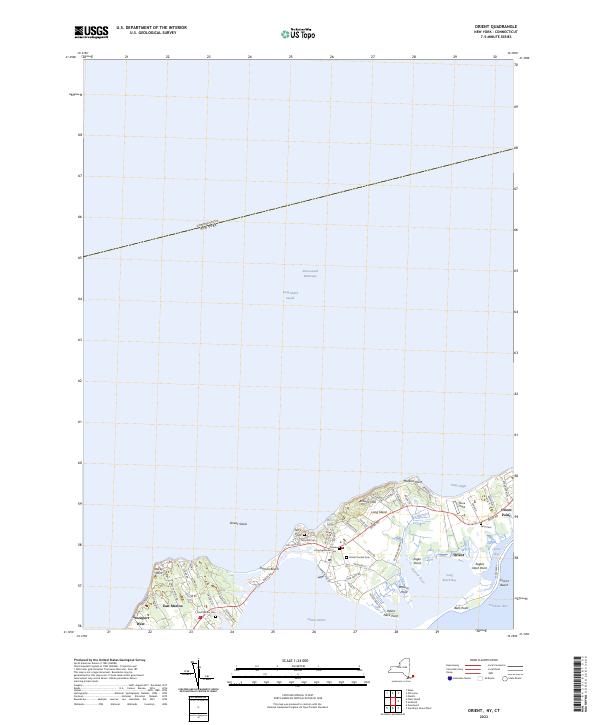
Current Orient GeoPDF Map
1947 Map No. 135892, 1956 Map No. 135893, 1956 Map No. 135894, 1956 Map No. 137489 Oyster Ponds Waterway Access Site, Long Beach Bay State Tidal Wetland Southold (8%)
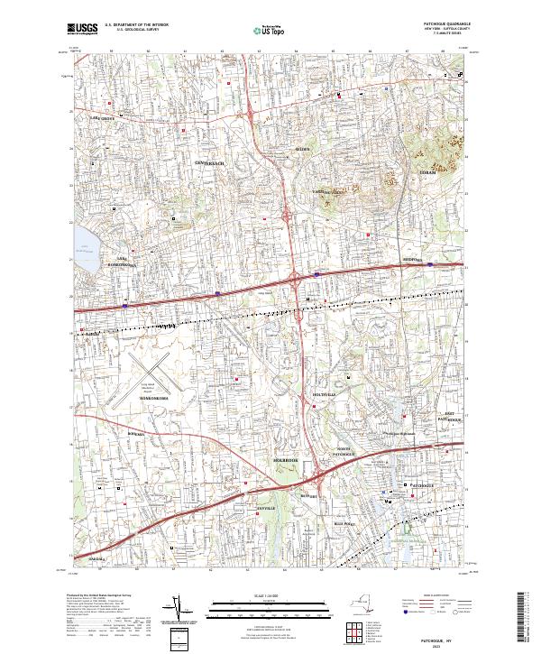
Current Patchogue GeoPDF Map
1947 Map No. 135969, 1956 Map No. 135970, 1956 Map No. 135971, 1967 Map No. 135972, 1967 Map No. 135973 NA Brookhaven (12%), Islip (14%), Smithtown (0%)
Current Pattersquash Island GeoPDF Map
1956 Map No. 135976, 1967 Map No. 135977, 1967 Map No. 135978 Johns Neck State Tidal Wetland Brookhaven (1%)
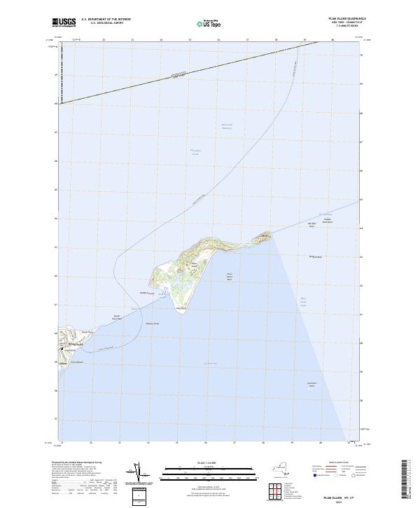
Current Plum Island GeoPDF Map
1947 Map No. 129053, 1954 Map No. 129055, 1954 Map No. 129056 Long Beach Bay State Tidal Wetland Southold (2%)
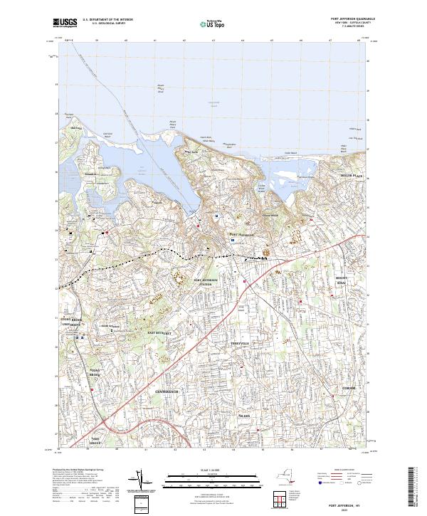
Current Port Jefferson GeoPDF Map
1947 Map No. 129090, 1955 Map No. 129091, 1955 Map No. 129092, 1967 Map No. 129093 Patriots Hollow State Forest, Little Bay State Tidal Wetland, Mount Sinai State Tidal Wetland Brookhaven (13%)
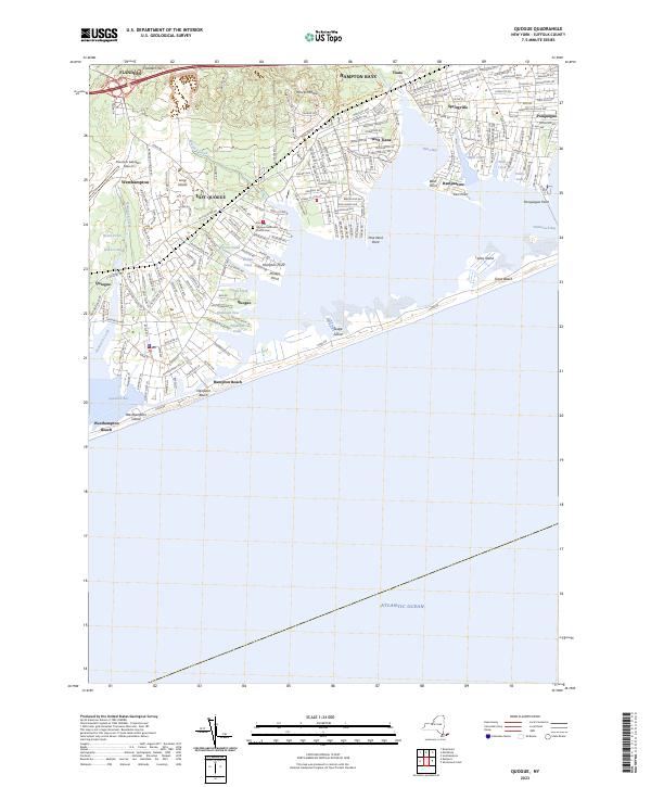
Current Quogue GeoPDF Map
1947 Map No. 136001, 1956 Map No. 136002, 1956 Map No. 136003 Henry’s Hollow Pine Barrens State Forest, Westhampton Dwarf Pine Plains Pine Barrens State Forest, David A. Sarnoff Pine Barrens State Forest Southampton (13%)
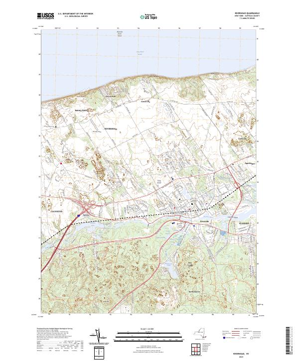
Current Riverhead GeoPDF Map
1947 Map No. 136077, 1956 Map No. 136078, 1956 Map No. 136079, 1956 Map No. 136080 Otis Pike Pine Barrens State Forest – Canoe Lake, Otis Pike Pine Barrens State Forest – East, Otis Pike Pine Barrens State Forest – Nugent Drive, Otis Pike Pine Barrens State Forest – South River Road, Otis Pike Pine Barrens State Forest – Toppings Path, David A. Sarnoff Pine Barrens State Forest, Wildwood Lake Waterway Access Brookhaven (2%), Riverhead (40%), Southampton (6%)
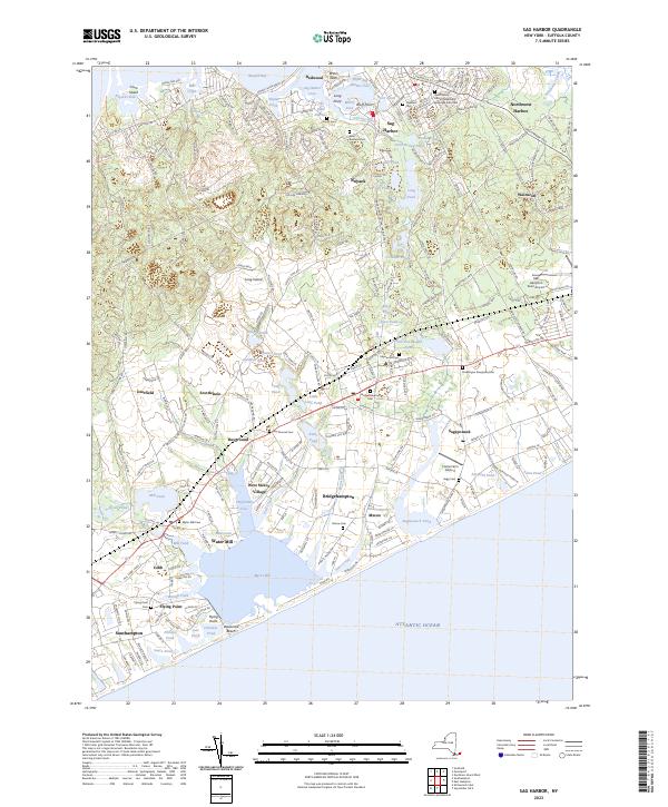
Current Sag Harbor GeoPDF Map
1946 Map No. 129284, 1956 Map No. 129285, 1956 Map No. 129286 Linda A. Gronlund Memorial Nature State Forest At Barcelona Neck, Little Northwest Creek State Tidal Wetland, Sag Harbor State Tidal Wetland East Hampton (6%), Southampton (21%)
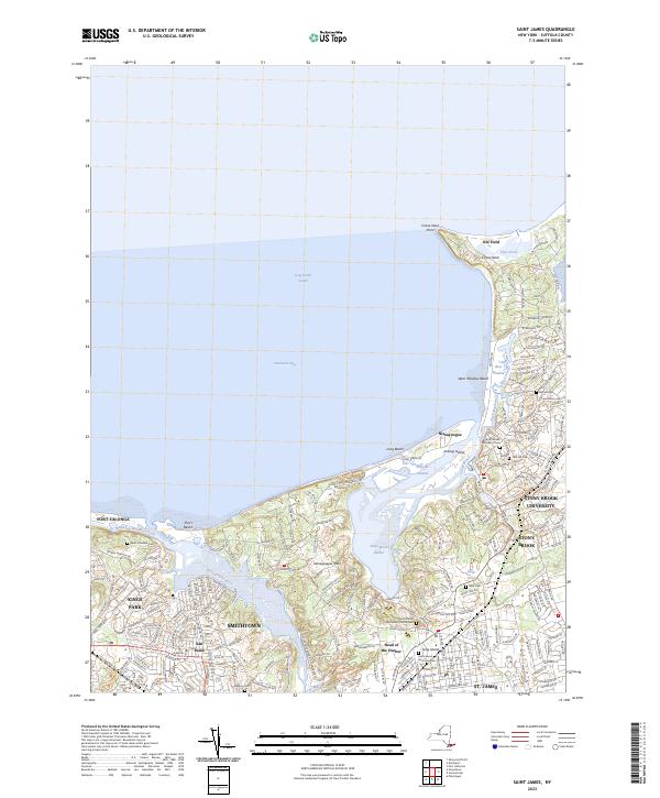
Current Saint James GeoPDF Map
1955 Map No. 129287, 1967 Map No. 129288, 1967 Map No. 129289 Kings Park, Flax Pond State Tidal Wetland, Stony Brook Harbor State Tidal Wetland, Youngs Island State Tidal Wetland Brookhaven (2%), Smithtown (29%)
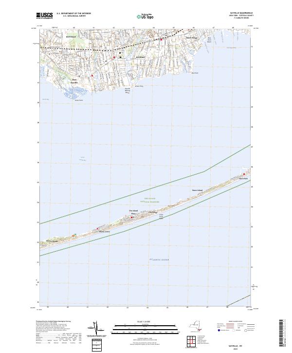
Current Sayville GeoPDF Map
1947 Map No. 129415, 1955 Map No. 129416, 1967 Map No. 129417, 1967 Map No. 136896 Browns River State Tidal Wetland, Ludlow Creek State Tidal Wetland, Namkee Creek State Tidal Wetland, Pepperidge Hall Marsh State Tidal Wetland, Stillman Creek State Tidal Wetland Brookhaven (9%), Islip (6%)
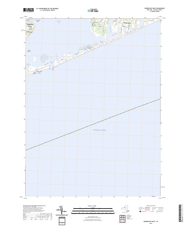
Current Shinnecock Inlet GeoPDF Map
1955 Map No. 136159, 1955 Map No. 136160, 1955 Map No. 136161 Shinnecock Bay State Tidal Wetland Shinnecock Reservation (56%), Southampton (5%)
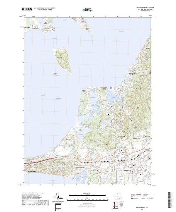
Current Southampton GeoPDF Map
1947 Map No. 136213, 1956 Map No. 136214, 1956 Map No. 136215 NA Shinnecock Reservation (44%), Southampton (21%), Southold (16%)
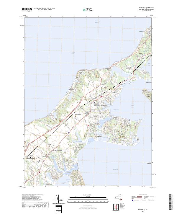
Current Southold GeoPDF Map
1947 Map No. 136216, 1956 Map No. 136217, 1956 Map No. 136218, 1956 Map No. 136219 Hashamomuck Pond Waterway Access Shelter Island (6%), Southampton (1%), Southold (37%)
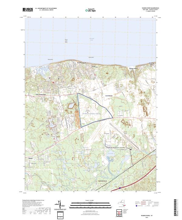
Current Wading River GeoPDF Map
1957 Map No. 139515, 1967 Map No. 139516 Panamoka Pine Barrens State Forest, Calverton Pine Barrens State Forest, Otis Pike Pine Barrens State Forest – Canoe Lake, Otis Pike Pine Barrens State Forest – East, Otis Pike Pine Barrens State Forest – Fresh Pond, Otis Pike Pine Barrens State Forest – Toppings Path, Otis Pike Pine Barrens State Forest – West, Baiting Hollow State Tidal Wetland Brookhaven (4%), Riverhead (38%)
Current West Gilgo Beach GeoPDF Map
NA Babylon Marsh-Elder And Petteanger Isl Stw Babylon (2%), Hempstead (1%), Oyster Bay (4%)

USGS Topographic Maps – Sullivan to Yates County

Counties: Albany to Delaware / Dutchess to Livingston / Madison to Otsego / Putnam to Suffolk / Sullivan to Yates

Browse Topographic Maps: Full State / Historical USGS Topographic Maps

Sullivan County

PDF (50-60 MB Download) Historical USGS Topo Maps State Lands (Links to DEC Website) Towns (Percent of Town’s Area)
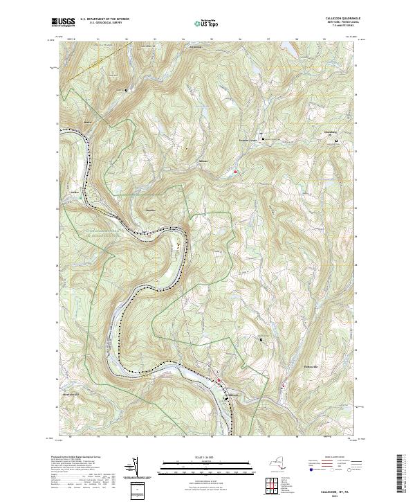
Current Callicoon GeoPDF Map
1965 Map No. 123143, 1965 Map No. 123144, 1965 Map No. 123145, 1992 Map No. 137140 Callicoon Creek North Branch Fishing Access, Crystal Lake Wild Forest, Delaware River Waterway Access Callicoon (3%), Delaware (39%), Fremont (55%), Hancock (1%)
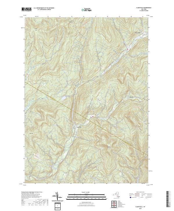
Current Claryville GeoPDF Map
1966 Map No. 137174, 1966 Map No. 137635, 1966 Map No. 137636 Sundown Wild Forest, Willowemoc Wild Forest, Slide Mountain Wilderness, Big Indian Wilderness Denning (31%), Hardenburgh (1%), Neversink (25%)
Current Damascus GeoPDF Map
NA NA Cochecton (43%), Delaware (12%), Tusten (7%)
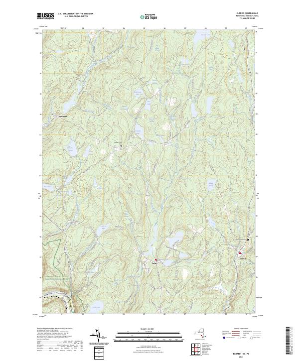
Current Eldred GeoPDF Map
1967 Map No. 138051, 1967 Map No. 138052 Sullivan FP Detached Parcel, Hickok Brook Multiple Use Area Bethel (3%), Cochecton (2%), Highland (43%), Tusten (61%)
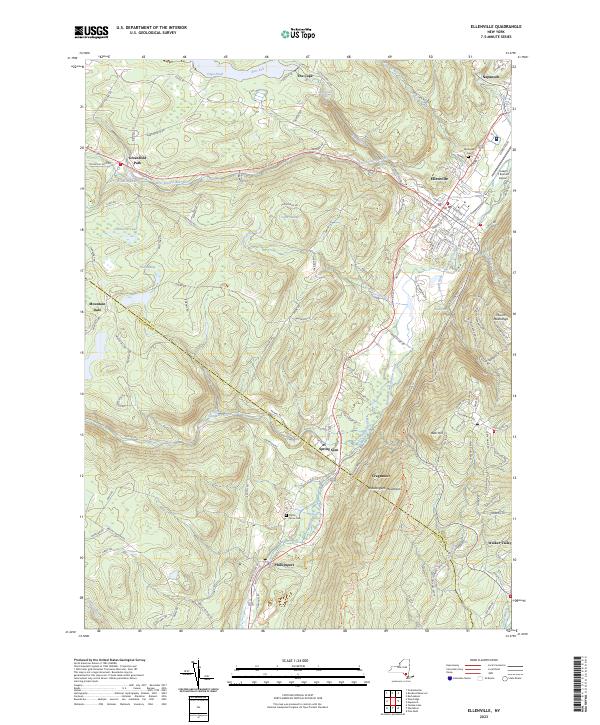
Current Ellenville GeoPDF Map
1942 Map No. 138073, 1942 Map No. 138074, 1969 Map No. 137354, 1969 Map No. 137355, 1969 Map No. 138078 Ulster FP Detached Parcel, Sandburg Creek Fishing Access, Shawangunk Ridge State Forest, Roosa Gap State Forest, Painter Hill Multiple Use Area, Oak Ridge Multiple Use Area, West Branch Beerkill Fishing Access Fallsburg (0%), Mamakating (18%), Shawangunk (3%), Wawarsing (27%)
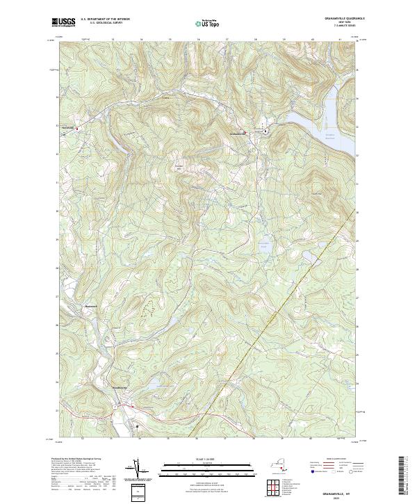
Current Grahamsville GeoPDF Map
1966 Map No. 129597, 1982 Map No. 129598 Sullivan FP Detached Parcel, Neversink River Fishing Access, Sundown Wild Forest Fallsburg (22%), Neversink (33%), Wawarsing (7%)
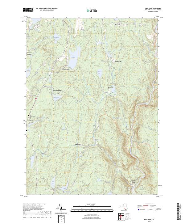
Current Hartwood GeoPDF Map
1966 Map No. 129830, 1966 Map No. 129831 Neversink River Unique Area Forestburgh (74%), Thompson (16%)
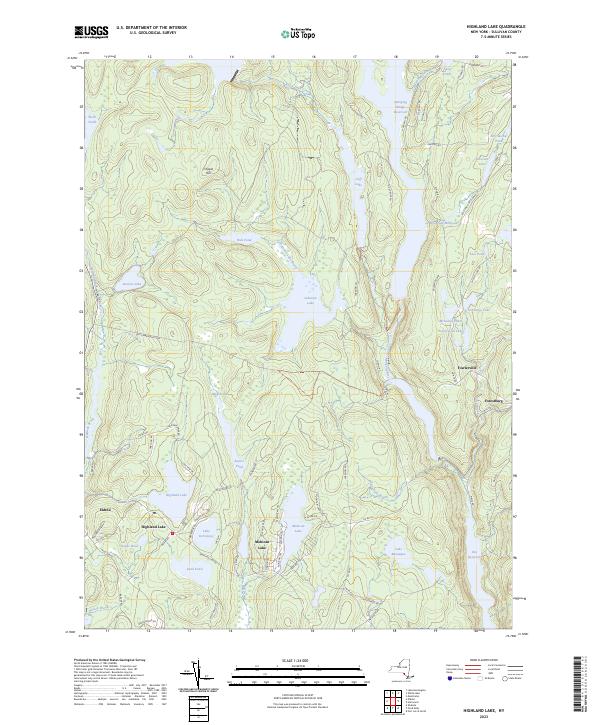
Current Highland Lake GeoPDF Map
1967 Map No. 129920, 1967 Map No. 137250 Sullivan FP Detached Parcel, Hickok Brook Multiple Use Area, Mongaup Valley WMA Bethel (6%), Forestburgh (15%), Highland (39%), Lumberland (38%), Thompson (3%)
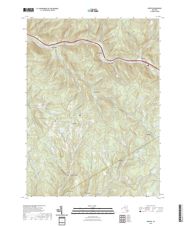
Current Horton GeoPDF Map
1965 Map No. 129786, 1965 Map No. 129787, 1982 Map No. 129785 Hancock FP Detached Parcel, Crystal Lake Wild Forest Colchester (5%), Fremont (14%), Hancock (26%)
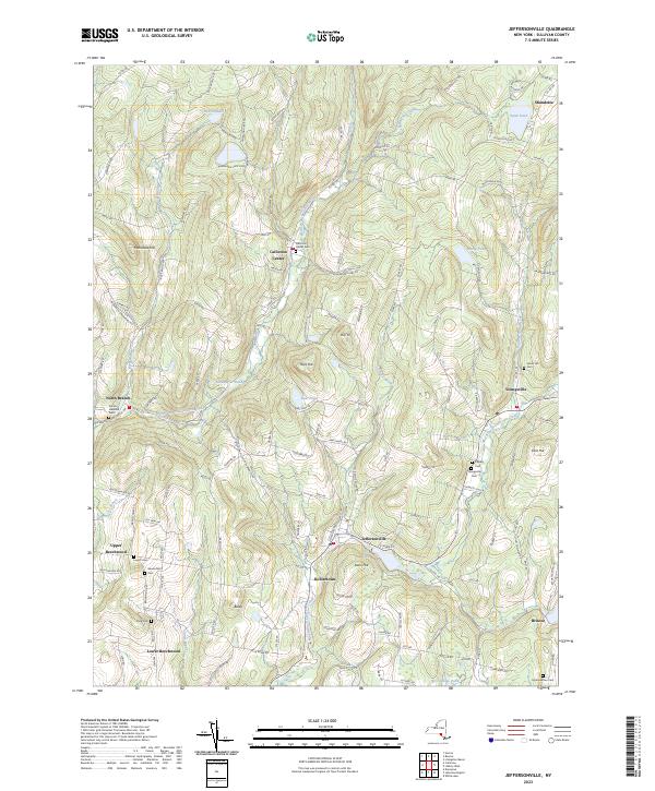
Current Jeffersonville GeoPDF Map
1965 Map No. 129990, 1965 Map No. 129991 Callicoon Creek North Branch Fishing Access Bethel (4%), Callicoon (74%), Delaware (25%), Fremont (12%), Liberty (1%)
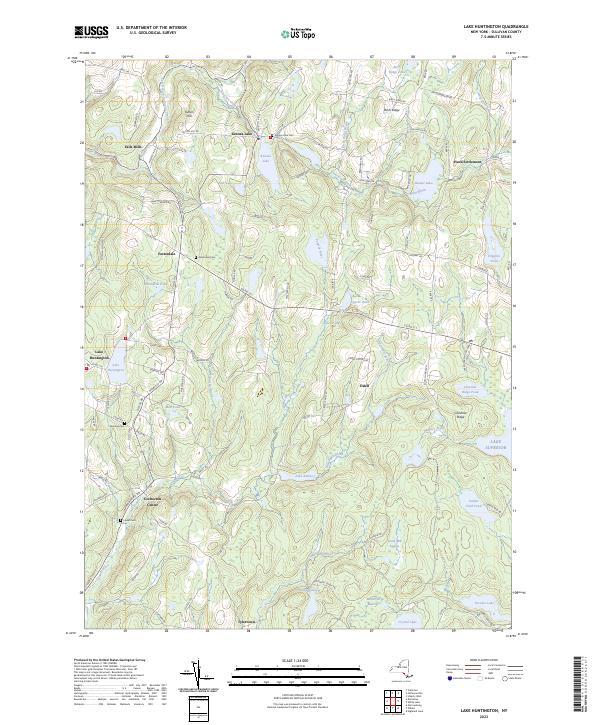
Current Lake Huntington GeoPDF Map
1967 Map No. 130046, 1967 Map No. 137308 Lake Huntington Waterway Access Bethel (29%), Cochecton (55%), Delaware (23%), Tusten (2%)
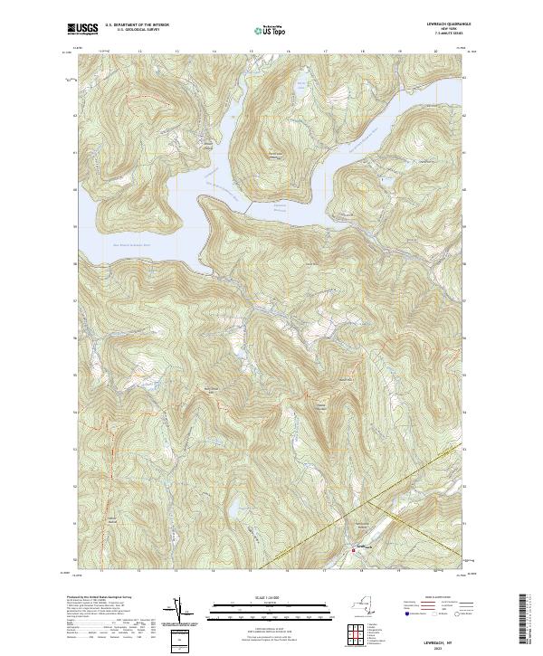
Current Lewbeach GeoPDF Map
1965 Map No. 130250, 1965 Map No. 130251, 1965 Map No. 130253, 1965 Map No. 137316 Andes FP Detached Parcel, Murphy Hill State Forest, Delaware Wild Forest, Dry Brook Ridge Wild Forest, Little Pond Campground Andes (34%), Colchester (9%), Hardenburgh (2%), Middletown (0%), Rockland (2%)
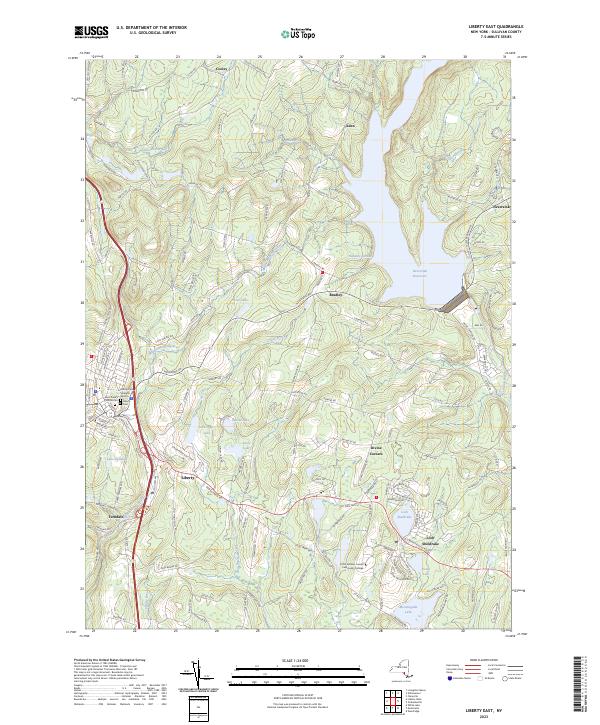
Current Liberty East GeoPDF Map
1966 Map No. 130264, 1966 Map No. 130265 NA Fallsburg (22%), Liberty (30%), Neversink (16%)
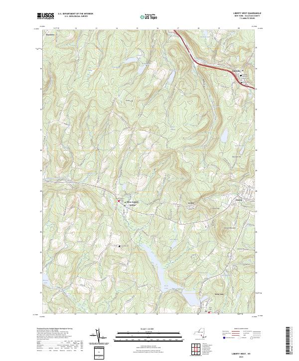
Current Liberty West GeoPDF Map
1965 Map No. 130266, 1965 Map No. 137357, 1965 Map No. 137358 Little Beaverkill Fishing Access Bethel (3%), Callicoon (8%), Liberty (61%), Rockland (0%)
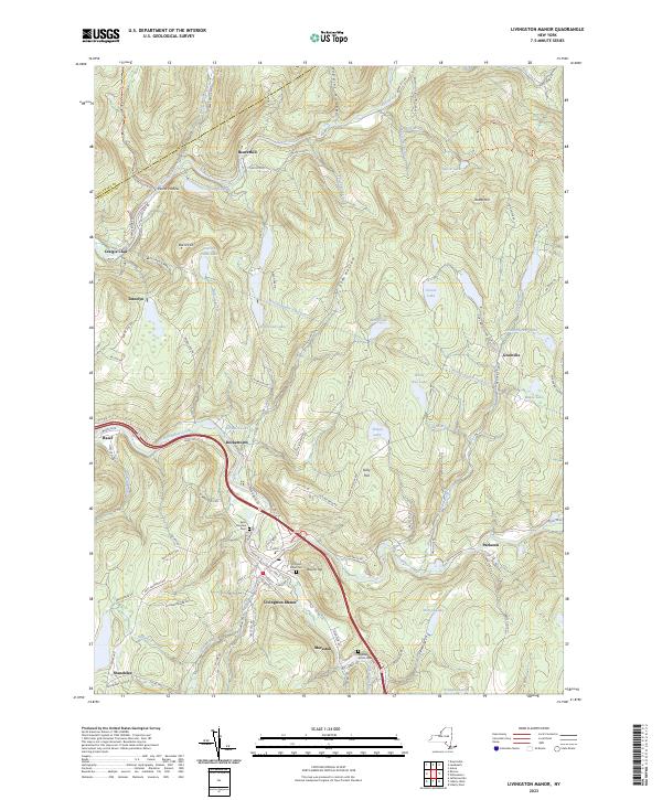
Current Livingston Manor GeoPDF Map
1965 Map No. 130296, 1965 Map No. 130297, 1965 Map No. 137365 Little Beaverkill Fishing Access, Willowemoc Creek Fishing Access, Willowemoc Creek Waterway Access, Delaware Wild Forest, Willowemoc Wild Forest, Beaverkill Campground Callicoon (3%), Colchester (2%), Liberty (3%), Rockland (51%)
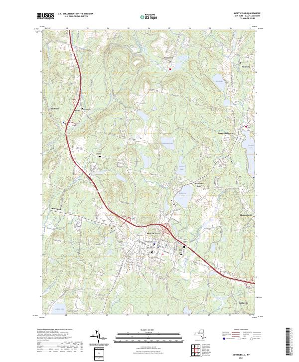
Current Monticello GeoPDF Map
1966 Map No. 130634, 1966 Map No. 130635, 1966 Map No. 130636 NA Bethel (1%), Fallsburg (13%), Liberty (3%), Thompson (49%)
Current Narrowsburg GeoPDF Map
1968 Map No. 130762, 1994 Map No. 137396, 1997 Map No. 137398, 1997 Map No. 137400 NA Tusten (30%)
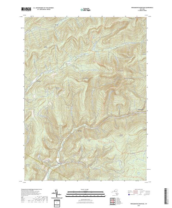
Current Peekamoose Mountain GeoPDF Map
1943 Map No. 128939, 1943 Map No. 128941 Sundown Wild Forest, Slide Mountain Wilderness, Big Indian Wilderness Denning (47%), Neversink (2%), Rochester (1%), Shandaken (2%), Wawarsing (0%)
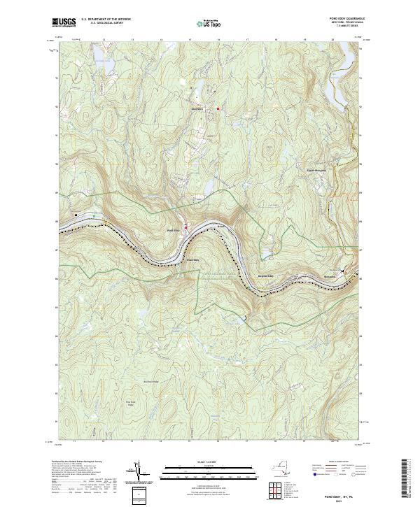
Current Pond Eddy GeoPDF Map
1965 Map No. 129064, 1965 Map No. 129065, 1965 Map No. 129066, 1965 Map No. 129067, 1965 Map No. 136816, 1992 Map No. 136817, 1997 Map No. 136818 Hickok Brook Multiple Use Area, Mongaup Valley WMA Deerpark (2%), Forestburgh (0%), Highland (1%), Lumberland (56%)
Current Port Jervis North GeoPDF Map
NA Cherry Island WMA, Huckleberry Ridge State Forest, Mongaup Valley WMA Deerpark (70%), Forestburgh (3%), Greenville (3%), Port Jervis city (68%)
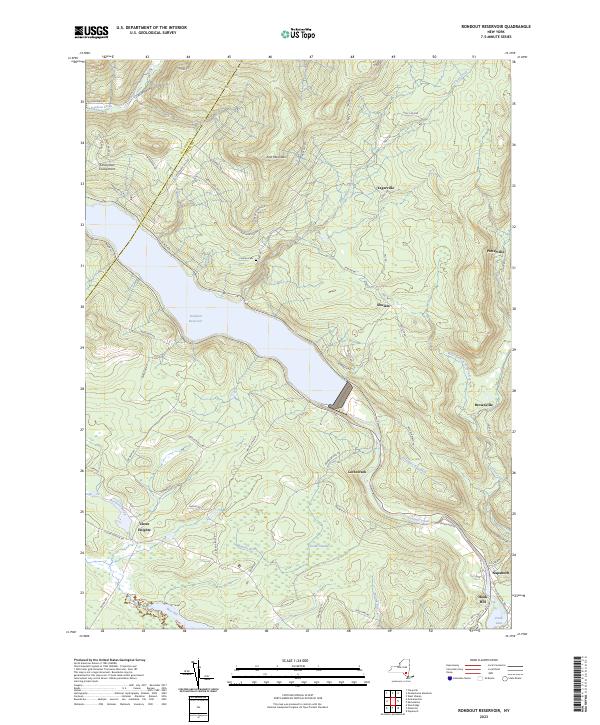
Current Rondout Reservoir GeoPDF Map
1969 Map No. 129207, 1969 Map No. 463445 Vernooy Kill State Forest, Sundown Wild Forest Denning (1%), Neversink (5%), Rochester (7%), Wawarsing (33%)
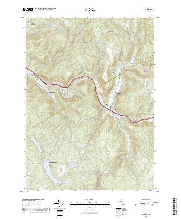
Current Roscoe GeoPDF Map
1965 Map No. 129208, 1965 Map No. 129209, 1965 Map No. 136874 Delaware County Scenic Resource, Colchester FP Detached Parcel, Delaware FP Detached Parcel, Beaverkill Fishing Access, Willowemoc Creek Fishing Access, Delaware Wild Forest, Willowemoc Wild Forest Callicoon (12%), Colchester (17%), Fremont (19%), Hancock (0%), Rockland (17%)
Current Shohola GeoPDF Map
NA Hickok Brook Multiple Use Area Highland (18%), Lumberland (5%)
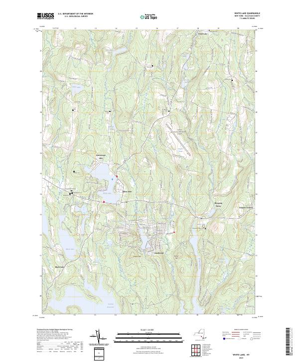
Current White Lake GeoPDF Map
1967 Map No. 140257, 1967 Map No. 140258 NA Bethel (54%), Liberty (1%), Thompson (8%)
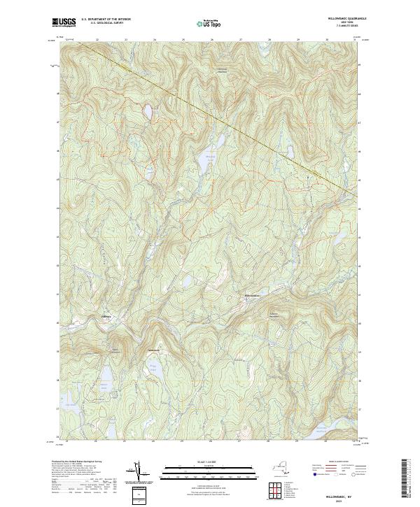
Current Willowemoc GeoPDF Map
1966 Map No. 137033, 1966 Map No. 140307, 1966 Map No. 140308, 1997 Map No. 137034 Willowemoc Wild Forest, Big Indian Wilderness, Mongaup Pond Campground Denning (5%), Hardenburgh (6%), Liberty (2%), Neversink (18%), Rockland (30%)
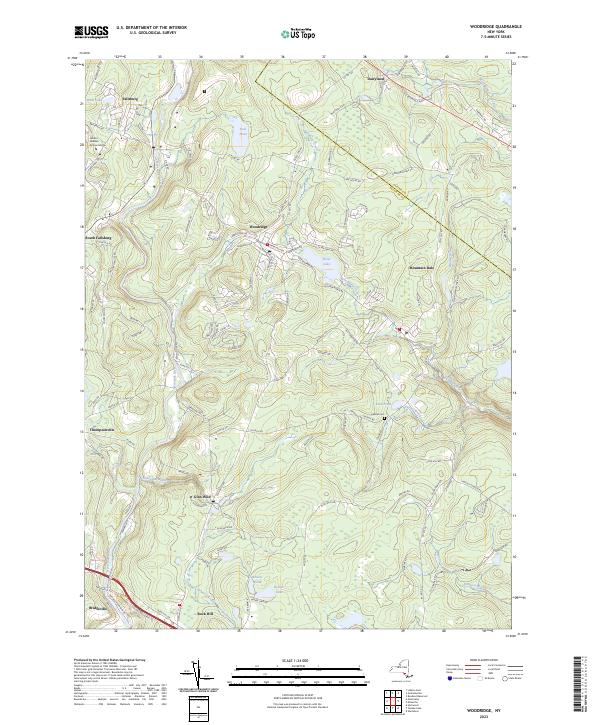
Current Woodridge GeoPDF Map
1966 Map No. 140376, 1966 Map No. 140377 Neversink River Fishing Access Fallsburg (43%), Mamakating (5%), Thompson (11%), Wawarsing (5%)
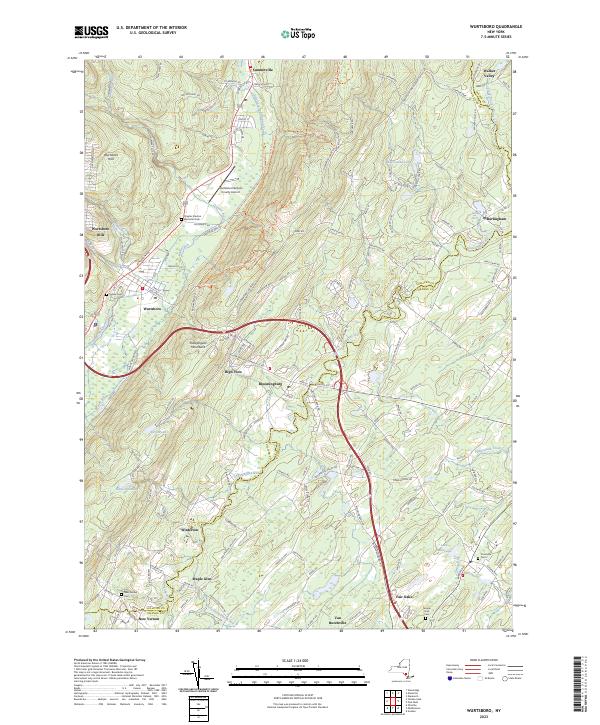
Current Wurtsboro GeoPDF Map
1943 Map No. 140385, 1943 Map No. 140386, 1969 Map No. 137046, 1969 Map No. 137047, 1969 Map No. 140387 Wurtsboro Ridge State Forest, Roosa Gap State Forest, Bashakill WMA Crawford (10%), Mamakating (36%), Mount Hope (3%), Shawangunk (1%), Wallkill (25%)
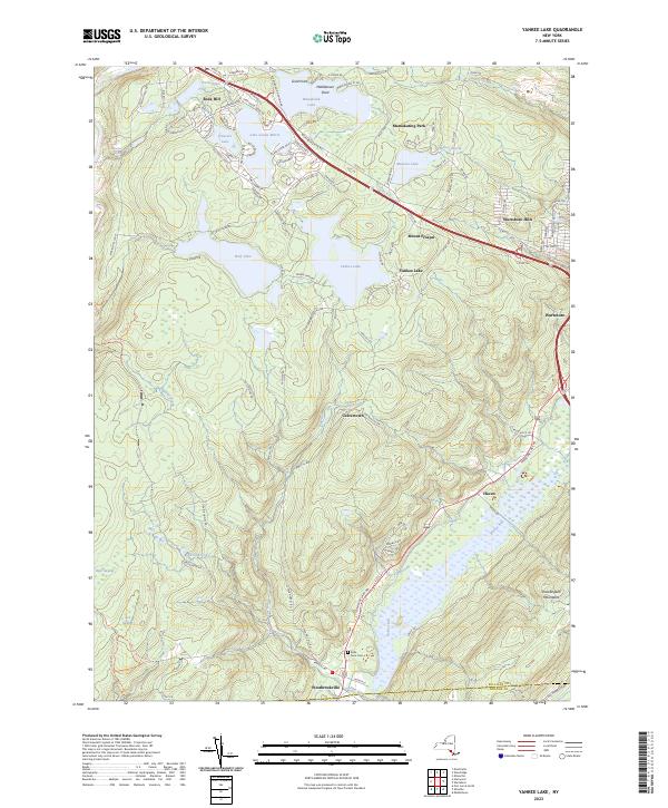
Current Yankee Lake GeoPDF Map
1966 Map No. 137050, 1966 Map No. 140391, 1966 Map No. 140392 Sullivan FP Detached Parcel, Neversink River Unique Area, Wolf Brook Multiple Use Area, Bashakill WMA Deerpark (0%), Forestburgh (7%), Mamakating (41%), Mount Hope (1%), Thompson (13%)

Tioga County

PDF (50-60 MB Download) Historical USGS Topo Maps State Lands (Links to DEC Website) Towns (Percent of Town’s Area)
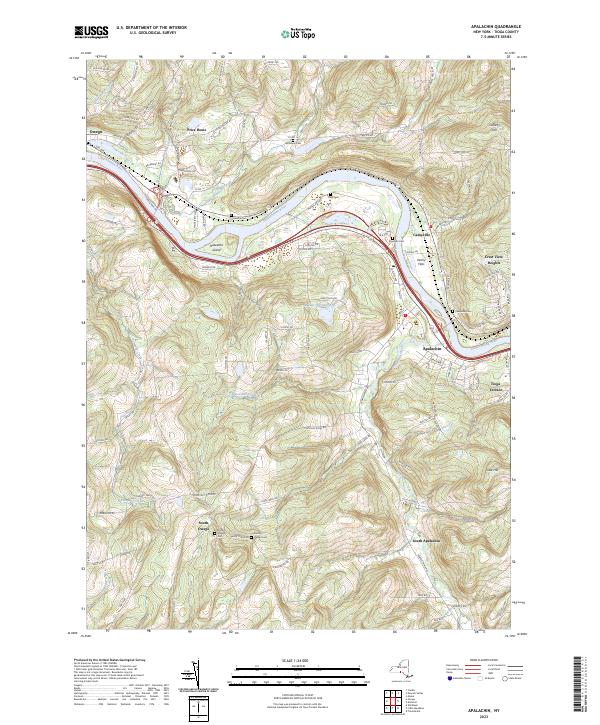
Current Apalachin GeoPDF Map
1956 Map No. 136670, 1956 Map No. 136671, 1969 Map No. 136672, 1969 Map No. 136673 NA Owego (53%)
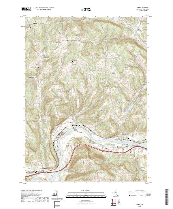
Current Barton GeoPDF Map
1953 Map No. 123188, 1969 Map No. 123189, 1969 Map No. 137091 Susquehanna River Waterway Access Barton (41%), Nichols (32%), Tioga (35%)
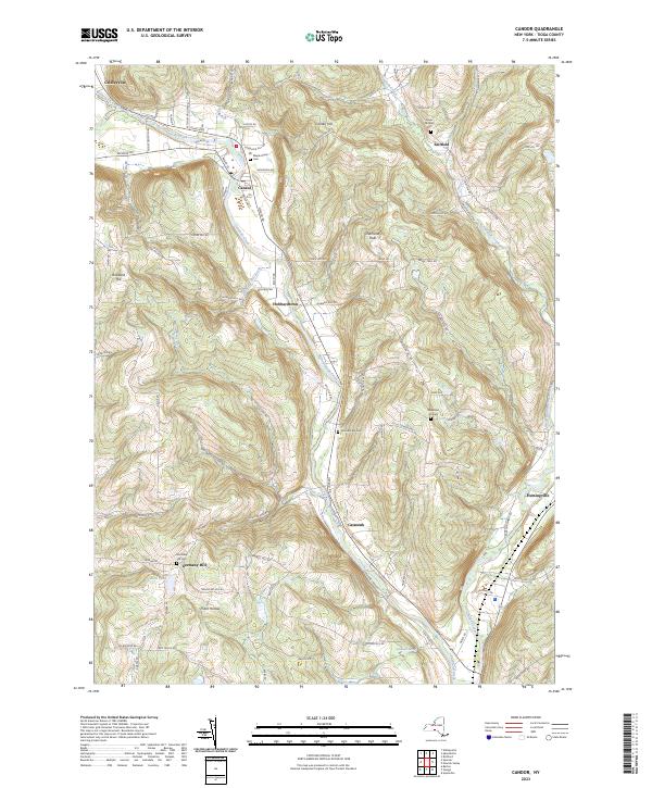
Current Candor GeoPDF Map
1956 Map No. 122778, 1969 Map No. 122779 NA Candor (44%), Newark Valley (0%), Owego (2%), Tioga (18%)
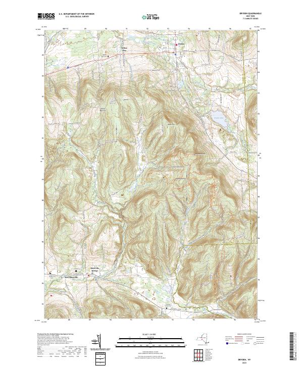
Current Dryden GeoPDF Map
1949 Map No. 137901, 1951 Map No. 137902, 1951 Map No. 137903, 1969 Map No. 137339, 1969 Map No. 137904, 1969 Map No. 137905 Dryden Lake Multiple Use Area, Robinson Hollow State Forest, Yellow Barn State Forest, Hammond Hill State Forest, West Branch Owego Creek Caroline (23%), Dryden (38%), Harford (6%), Richford (13%), Virgil (1%)
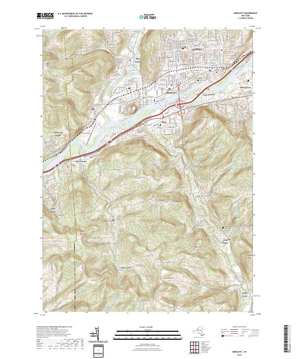
Current Endicott GeoPDF Map
1956 Map No. 138228, 1956 Map No. 138229, 1969 Map No. 137326, 1969 Map No. 138234, 1969 Map No. 138235 Tracy Creek State Forest Owego (7%), Union (37%), Vestal (67%)
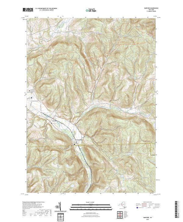
Current Harford GeoPDF Map
1949 Map No. 129714, 1951 Map No. 129715, 1976 Map No. 129716, 1976 Map No. 129717 Beaver Dam State Forest, Griggs Gulf State Forest, Michigan Hill State Forest, Robinson Hollow State Forest, Turkey Hill State Forest, James Kennedy State Forest Harford (94%), Lapeer (34%), Lisle (0%), Richford (39%), Virgil (18%)
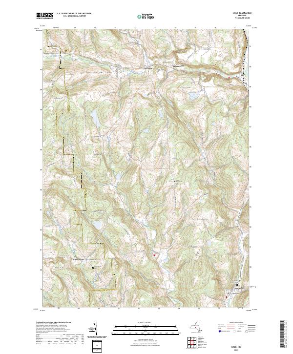
Current Lisle GeoPDF Map
1949 Map No. 130273, 1949 Map No. 130275, 1951 Map No. 130274 Ketchumville State Forest, Nanticoke Lake Multiple Use Area Berkshire (13%), Lisle (56%), Maine (5%), Nanticoke (73%), Newark Valley (7%), Richford (4%)
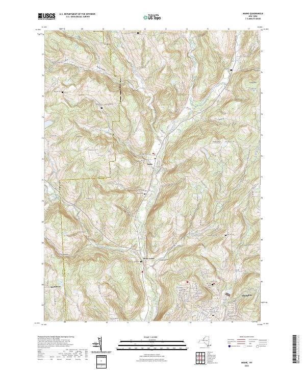
Current Maine GeoPDF Map
1956 Map No. 130418, 1956 Map No. 130419, 1969 Map No. 130420, 1969 Map No. 130421, 1969 Map No. 137425 Ketchumville State Forest, Nanticoke Creek Fishing Access Maine (69%), Nanticoke (2%), Newark Valley (18%), Owego (2%), Union (33%)
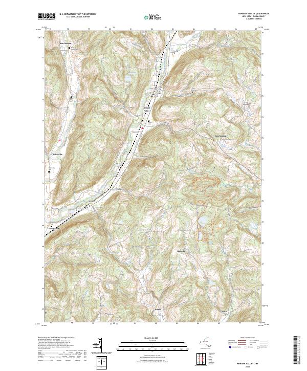
Current Newark Valley GeoPDF Map
1956 Map No. 130818, 1969 Map No. 130819, 1969 Map No. 130820, 1969 Map No. 137407 Ketchumville State Forest, Oakley Corners State Forest Candor (3%), Newark Valley (53%), Owego (24%)
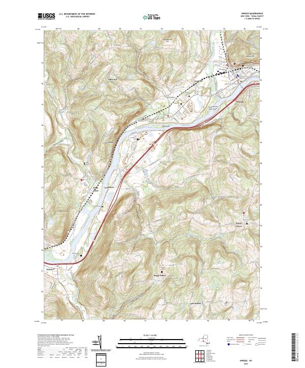
Current Owego GeoPDF Map
1956 Map No. 135949, 1969 Map No. 135950, 1969 Map No. 135951, 1969 Map No. 135952 NA Nichols (68%), Owego (11%), Tioga (36%)
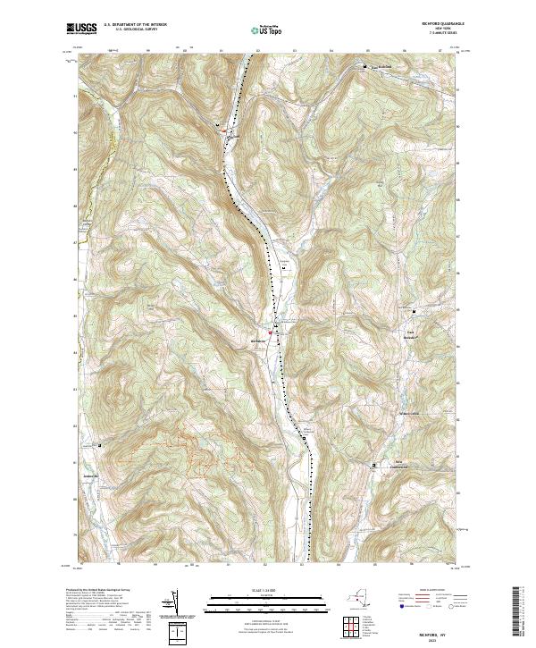
Current Richford GeoPDF Map
1950 Map No. 136064, 1950 Map No. 136065, 1950 Map No. 136066, 1950 Map No. 136856 East Branch Owego Creek Parking, Beaver Dam State Forest, Andersen Hill State Forest, Ketchumville State Forest, Turkey Hill State Forest, Potato Hill State Forest, Jenksville State Forest Berkshire (87%), Candor (1%), Caroline (2%), Newark Valley (22%), Richford (43%)
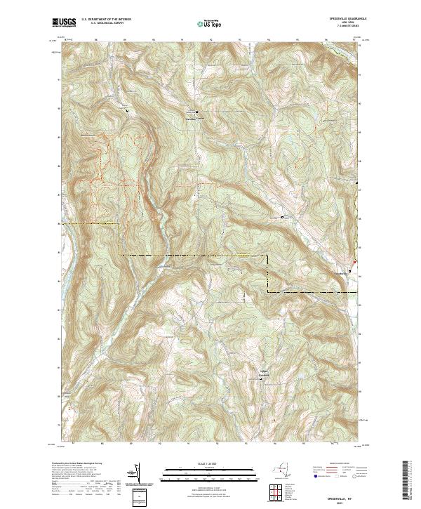
Current Speedsville GeoPDF Map
1949 Map No. 139827, 1951 Map No. 139828, 1969 Map No. 136930, 1969 Map No. 139829 Fairfield State Forest, Potato Hill State Forest, Shindagin Hollow State Forest Berkshire (0%), Candor (26%), Caroline (54%), Richford (1%)
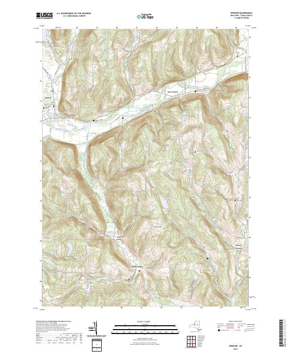
Current Spencer GeoPDF Map
1956 Map No. 139830, 1969 Map No. 139831, 1969 Map No. 139832, 1969 Map No. 139833 NA Barton (10%), Candor (15%), Spencer (56%), Tioga (12%)
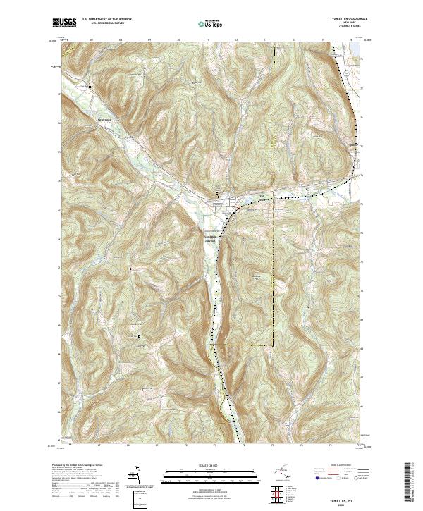
Current Van Etten GeoPDF Map
1954 Map No. 139471, 1969 Map No. 139472, 1969 Map No. 139473 NA Baldwin (5%), Barton (11%), Cayuta (0%), Erin (9%), Spencer (25%), Van Etten (75%)
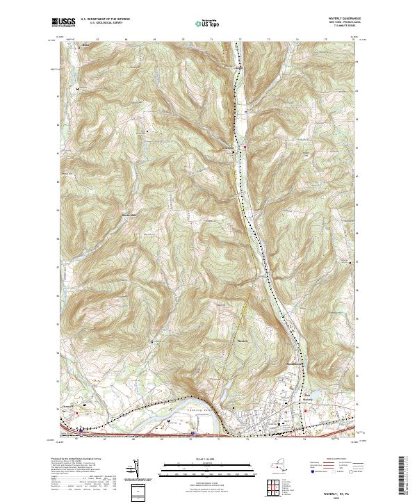
Current Waverly GeoPDF Map
1954 Map No. 140068, 1954 Map No. 140069, 1969 Map No. 136995, 1969 Map No. 140070, 1969 Map No. 140071 Maple Hill State Forest Baldwin (13%), Barton (38%), Chemung (58%)
Current West Danby GeoPDF Map
1950 Map No. 140144, 1950 Map No. 140145, 1969 Map No. 140146, 1969 Map No. 140147 Danby State Forest Cayuta (3%), Danby (23%), Newfield (48%), Spencer (8%), Van Etten (23%)
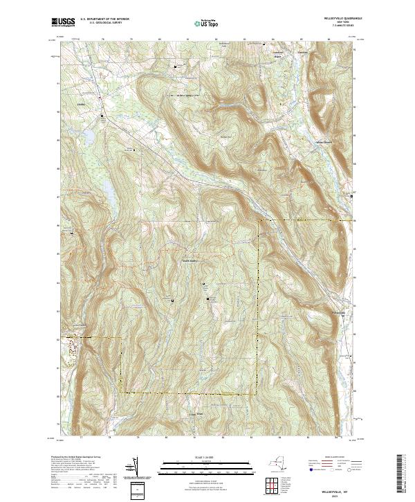
Current Willseyville GeoPDF Map
1949 Map No. 140329, 1949 Map No. 140330, 1951 Map No. 140331, 1969 Map No. 137038, 1969 Map No. 137039, 1969 Map No. 140332, 1969 Map No. 140333 Danby State Forest Candor (10%), Caroline (13%), Danby (61%), Spencer (11%)

Tompkins County

PDF (50-60 MB Download) Historical USGS Topo Maps State Lands (Links to DEC Website) Towns (Percent of Town’s Area)
Current Alpine GeoPDF Map
1950 Map No. 136593, 1950 Map No. 136594, 1969 Map No. 136595, 1969 Map No. 136596, 1969 Map No. 137064 Newfield State Forest, Cliffside State Forest, Connecticut Hill WMA Catharine (45%), Cayuta (82%), Newfield (36%), Veteran (7%)
Current Dryden GeoPDF Map
1949 Map No. 137901, 1951 Map No. 137902, 1951 Map No. 137903, 1969 Map No. 137339, 1969 Map No. 137904, 1969 Map No. 137905 Dryden Lake Multiple Use Area, Robinson Hollow State Forest, Yellow Barn State Forest, Hammond Hill State Forest, West Branch Owego Creek Caroline (23%), Dryden (38%), Harford (6%), Richford (13%), Virgil (1%)
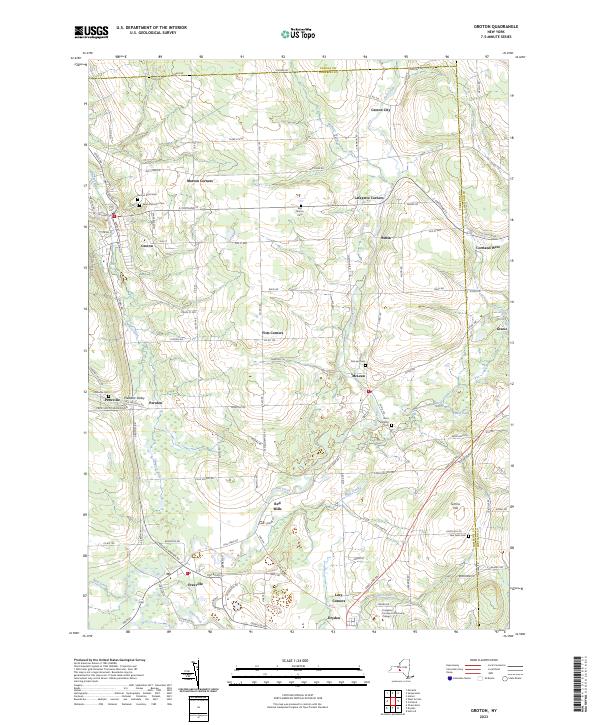
Current Groton GeoPDF Map
1942 Map No. 129649, 1942 Map No. 129650, 1970 Map No. 129654, 1970 Map No. 137236 NA Cortlandville (7%), Dryden (21%), Groton (58%), Locke (1%), Summerhill (4%), Virgil (4%)
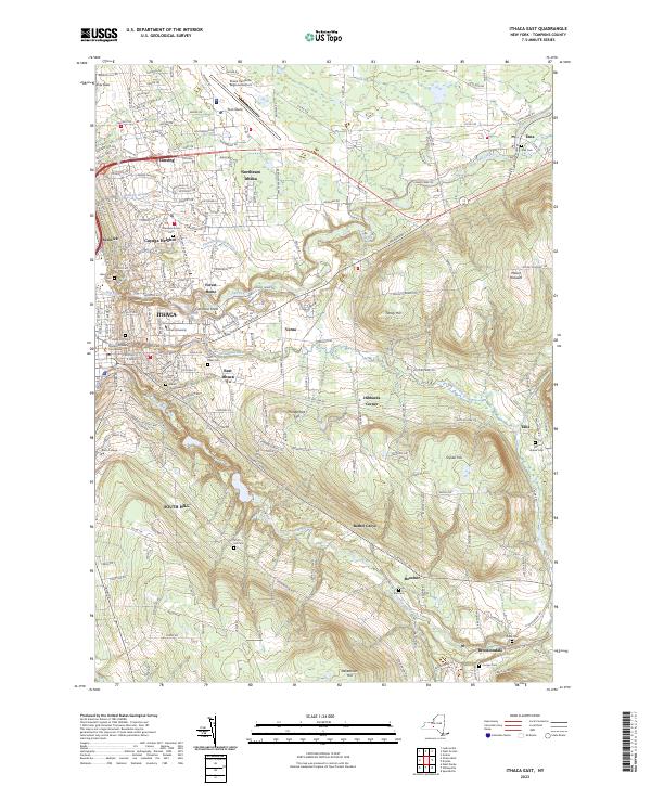
Current Ithaca East GeoPDF Map
1949 Map No. 130071, 1949 Map No. 130072, 1951 Map No. 130073, 1969 Map No. 130074, 1969 Map No. 130075, 1969 Map No. 137276 Reynolds Game Farm Caroline (8%), Danby (11%), Dryden (28%), Ithaca city (38%), Ithaca (42%), Lansing (5%)
Current Ithaca West GeoPDF Map
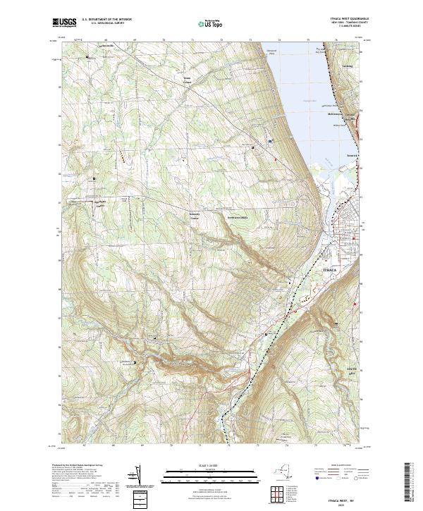
1949 Map No. 130077, 1949 Map No. 130078, 1949 Map No. 130079, 1949 Map No. 130080, 1949 Map No. 130081, 1969 Map No. 130082, 1969 Map No. 137277, 1978 Map No. 130083 NA Danby (5%), Enfield (46%), Ithaca city (62%), Ithaca (58%), Lansing (3%), Newfield (10%), Ulysses (18%)
Current Ludlowville GeoPDF Map
1942 Map No. 130370, 1942 Map No. 130371, 1942 Map No. 130372, 1971 Map No. 130374, 1971 Map No. 137423 Myers Point Boat Launch Covert (4%), Genoa (1%), Lansing (57%), Ulysses (36%)
Current Mecklenburg GeoPDF Map
1950 Map No. 130516, 1950 Map No. 130517, 1950 Map No. 130518, 1969 Map No. 130519, 1969 Map No. 130520, 1969 Map No. 137441 Cayuta Lake Boat Launch, Connecticut Hill WMA Catharine (10%), Enfield (54%), Hector (21%), Newfield (6%), Ulysses (14%)
Current Richford GeoPDF Map
1950 Map No. 136064, 1950 Map No. 136065, 1950 Map No. 136066, 1950 Map No. 136856 East Branch Owego Creek Parking, Beaver Dam State Forest, Andersen Hill State Forest, Ketchumville State Forest, Turkey Hill State Forest, Potato Hill State Forest, Jenksville State Forest Berkshire (87%), Candor (1%), Caroline (2%), Newark Valley (22%), Richford (43%)
Current Speedsville GeoPDF Map
1949 Map No. 139827, 1951 Map No. 139828, 1969 Map No. 136930, 1969 Map No. 139829 Fairfield State Forest, Potato Hill State Forest, Shindagin Hollow State Forest Berkshire (0%), Candor (26%), Caroline (54%), Richford (1%)
Current Trumansburg GeoPDF Map
1942 Map No. 139388, 1970 Map No. 136969, 1970 Map No. 139391 NA Covert (79%), Genoa (0%), Hector (8%), Lansing (6%), Ulysses (32%)
Current West Danby GeoPDF Map
1950 Map No. 140144, 1950 Map No. 140145, 1969 Map No. 140146, 1969 Map No. 140147 Danby State Forest Cayuta (3%), Danby (23%), Newfield (48%), Spencer (8%), Van Etten (23%)
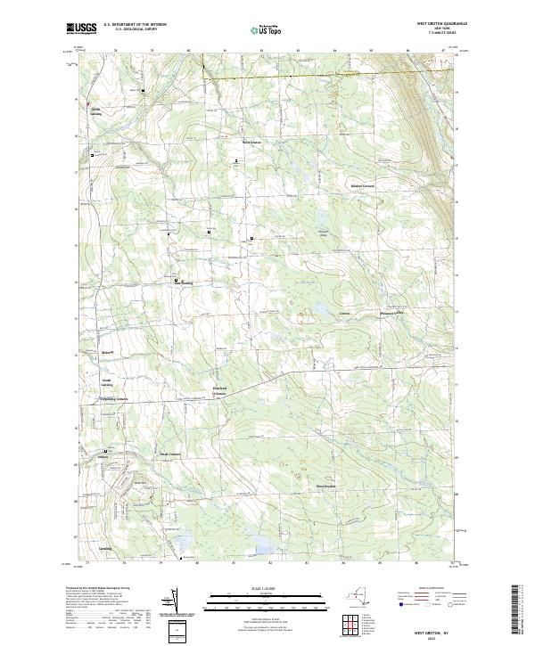
Current West Groton GeoPDF Map
1943 Map No. 140160, 1943 Map No. 140161, 1970 Map No. 140162, 1970 Map No. 140163 NA Dryden (14%), Groton (42%), Lansing (28%), Locke (6%)
Current Willseyville GeoPDF Map
1949 Map No. 140329, 1949 Map No. 140330, 1951 Map No. 140331, 1969 Map No. 137038, 1969 Map No. 137039, 1969 Map No. 140332, 1969 Map No. 140333 Danby State Forest Candor (10%), Caroline (13%), Danby (61%), Spencer (11%)

Ulster County

PDF (50-60 MB Download) Historical USGS Topo Maps State Lands (Links to DEC Website) Towns (Percent of Town’s Area)
Current Arena GeoPDF Map
1945 Map No. 136684, 1945 Map No. 136685, 1945 Map No. 136686, 1945 Map No. 136690, 1946 Map No. 136687, 1946 Map No. 136689 Delaware Wild Forest, Willowemoc Wild Forest, Big Indian Wilderness, Balsam Lake Mountain Wild Forest, Dry Brook Ridge Wild Forest, Little Pond Campground Andes (9%), Hardenburgh (33%), Middletown (19%), Rockland (0%)
Current Ashokan GeoPDF Map
1942 Map No. 136708, 1942 Map No. 136711, 1964 Map No. 136712, 1964 Map No. 136713, 1964 Map No. 137080 Ulster FP Detached Parcel, Bluestone Wild Forest, Phoenicia – Mt. Tobias Wild Forest Hurley (32%), Marbletown (38%), Olive (36%)
Current Bearsville GeoPDF Map
1945 Map No. 123225, 1945 Map No. 123226, 1945 Map No. 137092, 1946 Map No. 123228, 1997 Map No. 137094 Overlook Mountain Wild Forest, Phoenicia – Mt. Tobias Wild Forest, Indian Head Wilderness, Mink Hollow Primitive Bicycle Corridor, Kenneth L. Wilson Campground Hunter (10%), Hurley (8%), Olive (2%), Woodstock (62%)
Current Cementon GeoPDF Map
1963 Map No. 122882, 1963 Map No. 122883, 1963 Map No. 122884, 1963 Map No. 137143 Seward’s Island, Catskill FP Detatched Parcel, Great Vly WMA Athens (0%), Cairo (0%), Catskill (68%), Germantown (29%), Saugerties (12%)
Current Claryville GeoPDF Map
1966 Map No. 137174, 1966 Map No. 137635, 1966 Map No. 137636 Sundown Wild Forest, Willowemoc Wild Forest, Slide Mountain Wilderness, Big Indian Wilderness Denning (31%), Hardenburgh (1%), Neversink (25%)
Current Clintondale GeoPDF Map
1957 Map No. 137765, 1957 Map No. 137766, 1957 Map No. 137767 New Paltz Office, Ulster FP Detached Parcel, Hemlock Ridge Multiple Use Area Gardiner (8%), Lloyd (33%), Marlborough (20%), New Paltz (32%), Plattekill (71%), Shawangunk (0%)
Current Ellenville GeoPDF Map
1942 Map No. 138073, 1942 Map No. 138074, 1969 Map No. 137354, 1969 Map No. 137355, 1969 Map No. 138078 Ulster FP Detached Parcel, Sandburg Creek Fishing Access, Shawangunk Ridge State Forest, Roosa Gap State Forest, Painter Hill Multiple Use Area, Oak Ridge Multiple Use Area, West Branch Beerkill Fishing Access Fallsburg (0%), Mamakating (18%), Shawangunk (3%), Wawarsing (27%)
Current Fleischmanns GeoPDF Map
1945 Map No. 138238, 1945 Map No. 138239, 1945 Map No. 138241, 1945 Map No. 138242, 1946 Map No. 138240 Belleayre Mountain Ski Center, Greene County FP Detached Parcel, Big Indian Wilderness, Dry Brook Ridge Wild Forest Halcott (19%), Hardenburgh (0%), Middletown (36%), Roxbury (15%), Shandaken (2%)
Current Gardiner GeoPDF Map
1957 Map No. 138111, 1957 Map No. 138112, 1957 Map No. 138113 NA Gardiner (80%), New Paltz (6%), Plattekill (4%), Rochester (6%), Shawangunk (21%)
Current Grahamsville GeoPDF Map
1966 Map No. 129597, 1982 Map No. 129598 Sullivan FP Detached Parcel, Neversink River Fishing Access, Sundown Wild Forest Fallsburg (22%), Neversink (33%), Wawarsing (7%)
Current Hyde Park GeoPDF Map
1963 Map No. 130048, 1963 Map No. 130049, 1980 Map No. 130050, 1980 Map No. 130051 Black Creek Waterway Access, Chodikee Lake Wetlands, Crum Elbow Creek Waterway Access, Black Creek State Forest, Crum Elbow Creek Fishing Access Clinton (2%), Esopus (44%), Hyde Park (79%), Lloyd (14%), Rhinebeck (0%)
Current Kaaterskill Clove GeoPDF Map
1946 Map No. 130114, 1997 Map No. 130115 Colgate Lake Wild Forest, Kaaterskill Wild Forest, Indian Head Wilderness, Overlook Turnpike Primitive Bicycle Corridor, Dutcher Notch Primitive Bicycle Corridor, Windham-Blackhead Range Wilderness, North/South Lake Campground Cairo (7%), Catskill (16%), Hunter (32%), Jewett (9%), Saugerties (11%)
Current Kerhonkson GeoPDF Map
1942 Map No. 130021, 1969 Map No. 130024, 1969 Map No. 137293 Ulster FP Detached Parcel, Vernooy Kill State Forest, Sundown Wild Forest Marbletown (0%), Olive (1%), Rochester (45%), Wawarsing (11%)
Current Kingston East GeoPDF Map
1963 Map No. 130035, 1963 Map No. 130036, 1963 Map No. 130037, 1963 Map No. 137296, 1963 Map No. 137298 NA Clinton (0%), Esopus (16%), Hyde Park (1%), Kingston city (52%), Red Hook (15%), Rhinebeck (71%), Ulster (35%)
Current Kingston West GeoPDF Map
1942 Map No. 130038, 1964 Map No. 130131, 1964 Map No. 130132, 1964 Map No. 137299, 1964 Map No. 463444, 1980 Map No. 130133, 1997 Map No. 137300 Esopus Creek Waterway Access, Whiteport WMA, Bluestone Wild Forest, Rondout Creek Waterway Access Esopus (6%), Hurley (53%), Kingston city (48%), Kingston (89%), Marbletown (10%), Rosendale (19%), Ulster (43%), Woodstock (2%)
Current Lewbeach GeoPDF Map
1965 Map No. 130250, 1965 Map No. 130251, 1965 Map No. 130253, 1965 Map No. 137316 Andes FP Detached Parcel, Murphy Hill State Forest, Delaware Wild Forest, Dry Brook Ridge Wild Forest, Little Pond Campground Andes (34%), Colchester (9%), Hardenburgh (2%), Middletown (0%), Rockland (2%)
Current Lexington GeoPDF Map
1946 Map No. 130258, 1960 Map No. 130260, 1960 Map No. 130261, 1960 Map No. 130262 Rusk Mountain Wild Forest, Shandaken Wild Forest, Phoenicia – Mt. Tobias Wild Forest, Diamond Notch Primitive Bicycle Corridor, Hunter-West Kill Wilderness Hunter (2%), Jewett (24%), Lexington (50%), Shandaken (1%)
Current Mohonk Lake GeoPDF Map
1942 Map No. 130597, 1964 Map No. 130599, 1964 Map No. 137455, 1964 Map No. 137456 NA Gardiner (0%), Marbletown (47%), New Paltz (9%), Olive (0%), Rochester (30%), Rosendale (0%)
Current Napanoch GeoPDF Map
1956 Map No. 130743, 1956 Map No. 130744, 1956 Map No. 130745, 1956 Map No. 130746 Sams Point Ellensville Radio Facility, Ulster FP Detached Parcel, Witch’s Hole State Forest Crawford (1%), Gardiner (12%), Rochester (5%), Shawangunk (39%), Wawarsing (18%)
Current Newburgh GeoPDF Map
1957 Map No. 130832, 1957 Map No. 130833, 1957 Map No. 130834, 1957 Map No. 130835 Ulster FP Detached Parcel Marlborough (18%), Montgomery (0%), New Windsor (1%), Newburgh city (60%), Newburgh (83%), Plattekill (24%)
Current Peekamoose Mountain GeoPDF Map
1943 Map No. 128939, 1943 Map No. 128941 Sundown Wild Forest, Slide Mountain Wilderness, Big Indian Wilderness Denning (47%), Neversink (2%), Rochester (1%), Shandaken (2%), Wawarsing (0%)
Current Phoenicia GeoPDF Map
1946 Map No. 128986, 1960 Map No. 128990, 1960 Map No. 128991, 1960 Map No. 128992, 1960 Map No. 128993, 1960 Map No. 136793, 1997 Map No. 136794 Simpson Ski Slope, Unclassified, Esopus Creek Fishing Access, Woodland Valley Stream Parking, Shandaken Wild Forest, Phoenicia – Mt. Tobias Wild Forest, Hunter-West Kill Wilderness, Slide Mountain Wilderness, Woodland Valley Campground Hunter (2%), Lexington (2%), Olive (5%), Shandaken (36%), Woodstock (8%)
Current Pine Bush GeoPDF Map
1956 Map No. 128999, 1956 Map No. 129000, 1956 Map No. 136802 NA Crawford (88%), Mamakating (0%), Montgomery (15%), Shawangunk (12%), Wallkill (9%)
Current Poughkeepsie GeoPDF Map
1957 Map No. 129158, 1957 Map No. 129159, 1957 Map No. 136830, 1995 Map No. 136831 NA Hyde Park (8%), LaGrange (0%), Lloyd (43%), Marlborough (39%), Poughkeepsie city (100%), Poughkeepsie (70%), Wappinger (2%)
Current Rondout Reservoir GeoPDF Map
1969 Map No. 129207, 1969 Map No. 463445 Vernooy Kill State Forest, Sundown Wild Forest Denning (1%), Neversink (5%), Rochester (7%), Wawarsing (33%)
Current Rosendale GeoPDF Map
1942 Map No. 129218, 1942 Map No. 129219, 1964 Map No. 129224, 1964 Map No. 129225, 1964 Map No. 129226 Ulster FP Detached Parcel, Black Creek State Forest Esopus (34%), Lloyd (11%), Marbletown (5%), New Paltz (53%), Rosendale (81%)
Current Saugerties GeoPDF Map
1963 Map No. 129404, 1963 Map No. 136889, 1963 Map No. 136890, 1963 Map No. 136891, 1963 Map No. 136892, 1997 Map No. 136893 Turkey Point State Forest, Tivoli Bays WMA Clermont (33%), Germantown (15%), Red Hook (39%), Saugerties (41%), Ulster (12%)
Current Seager GeoPDF Map
1945 Map No. 136121, 1945 Map No. 136122, 1945 Map No. 136124, 1945 Map No. 136125, 1945 Map No. 136126, 1946 Map No. 136123 Belleayre Mountain Ski Center, Big Indian Wilderness, Balsam Lake Mountain Wild Forest, Dry Brook Ridge Wild Forest Denning (5%), Hardenburgh (53%), Middletown (5%), Shandaken (1%)
Current Shandaken GeoPDF Map
1946 Map No. 136142, 1946 Map No. 136145, 1960 Map No. 136146, 1960 Map No. 136147, 1960 Map No. 136908, 1960 Map No. 136909, 1997 Map No. 136910 Belleayre Mountain Ski Center, Belleayre Mountain Day Use Area, Unclassified, Shandaken Wild Forest, Slide Mountain Wilderness, Big Indian Wilderness Denning (4%), Hardenburgh (5%), Shandaken (39%)
Current Walden GeoPDF Map
1942 Map No. 139517, 1957 Map No. 139519, 1957 Map No. 139520 Stewart State Forest Crawford (1%), Montgomery (75%), New Windsor (6%), Newburgh (3%), Plattekill (1%), Shawangunk (24%)
Current Wappingers Falls GeoPDF Map
1956 Map No. 140039, 1956 Map No. 140040, 1956 Map No. 140041 Stonykill Environmental Education Center, Baxtertown Woods WMA Beacon city (64%), Fishkill (56%), Marlborough (24%), Newburgh city (3%), Newburgh (12%), Poughkeepsie (17%), Wappinger (60%)
Current West Kill GeoPDF Map
1945 Map No. 140167, 1960 Map No. 137008, 1960 Map No. 140169, 1960 Map No. 140170 Belleayre Mountain Ski Center, Belleayre Mountain Day Use Area, Greene County FP Detached Parcel, Halcott Mountain Wild Forest, Bearpen Mountain State Forest, Rusk Mountain Wild Forest, Shandaken Wild Forest, Hunter-West Kill Wilderness, Vinegar Hill WMA Halcott (69%), Lexington (28%), Middletown (4%), Shandaken (11%)
Current West Shokan GeoPDF Map
1942 Map No. 140217, 1942 Map No. 140218, 1969 Map No. 140219, 1969 Map No. 140220, 1969 Map No. 140221, 1997 Map No. 137015 Sundown Wild Forest, Phoenicia – Mt. Tobias Wild Forest, Slide Mountain Wilderness Denning (5%), Olive (55%), Rochester (8%), Shandaken (6%)
Current Willowemoc GeoPDF Map
1966 Map No. 137033, 1966 Map No. 140307, 1966 Map No. 140308, 1997 Map No. 137034 Willowemoc Wild Forest, Big Indian Wilderness, Mongaup Pond Campground Denning (5%), Hardenburgh (6%), Liberty (2%), Neversink (18%), Rockland (30%)
Current Woodridge GeoPDF Map
1966 Map No. 140376, 1966 Map No. 140377 Neversink River Fishing Access Fallsburg (43%), Mamakating (5%), Thompson (11%), Wawarsing (5%)
Current Woodstock GeoPDF Map
1945 Map No. 140378, 1945 Map No. 140379, 1945 Map No. 140380, 1945 Map No. 140381 High Woods Multiple Use Area, Kaaterskill Wild Forest, Overlook Mountain Wild Forest, Bluestone Wild Forest, Indian Head Wilderness, Overlook Turnpike Primitive Bicycle Corridor Hunter (6%), Hurley (7%), Kingston (11%), Saugerties (36%), Ulster (11%), Woodstock (28%)
Current Wurtsboro GeoPDF Map
1943 Map No. 140385, 1943 Map No. 140386, 1969 Map No. 137046, 1969 Map No. 137047, 1969 Map No. 140387 Wurtsboro Ridge State Forest, Roosa Gap State Forest, Bashakill WMA Crawford (10%), Mamakating (36%), Mount Hope (3%), Shawangunk (1%), Wallkill (25%)

Warren County

PDF (50-60 MB Download) Historical USGS Topo Maps State Lands (Links to DEC Website) Towns (Percent of Town’s Area)
Current Bakers Mills GeoPDF Map
NA Wilcox Lake Wild Forest, Siamese Ponds Wilderness Johnsburg (20%), Thurman (14%)
Current Bolton Landing GeoPDF Map
1966 Map No. 123346, 1966 Map No. 123347 Lake George Wild Forest, Lake George Islands Campground Bolton (56%), Fort Ann (0%), Horicon (0%), Lake George (1%), Warrensburg (7%)
Current Brant Lake GeoPDF Map
1966 Map No. 122984 First Brother Primitive Area, Pharaoh Lake Wilderness, Lake George Wild Forest Bolton (10%), Chester (0%), Hague (3%), Horicon (60%), Warrensburg (0%)
Current Bullhead Mountain GeoPDF Map
NA Jessup River Wild Forest, Siamese Ponds Wilderness Indian Lake (6%), Johnsburg (15%), Wells (4%)
Current Chestertown GeoPDF Map
1968 Map No. 122965, 1968 Map No. 122966 Vanderwhacker Mountain Wild Forest, Lake George Wild Forest, Eagle Point Campground, Horicon Boat Launch Chester (45%), Horicon (21%), Warrensburg (0%)
Current Corinth GeoPDF Map
1935 Map No. 137818, 1968 Map No. 137819 Hudson River Waterway Access, Saratoga FP Detached Parcel, Warren FP Detached Parcel, Daniels Road State Forest, Lincoln Mountain State Forest Corinth (37%), Greenfield (32%), Lake Luzerne (5%), Moreau (2%), Wilton (22%)
Current Glens Falls GeoPDF Map
1966 Map No. 129551 NA Glens Falls city (94%), Lake George (0%), Lake Luzerne (2%), Moreau (29%), Queensbury (54%)
Current Gore Mountain GeoPDF Map
NA Vanderwhacker Mountain Wild Forest, Chatiemac Lake Primitive Area, Siamese Ponds Wilderness, North Creek Parking Fishing Access, Gore Mountain Ski Center Chester (3%), Indian Lake (1%), Johnsburg (24%), Minerva (0%)
Current Graphite GeoPDF Map
1973 Map No. 129606, 1973 Map No. 129607 Bald Ledge Primitive Area, Gooseneck Pond Primitive Area, Pharaoh Lake Wilderness, Hammond Pond Wild Forest, Lake George Wild Forest, Putnam Pond Campground Hague (23%), Schroon (1%), Ticonderoga (39%)
Current Griffin GeoPDF Map
NA Jessup River Wild Forest, Wilcox Lake Wild Forest, Forks Mountain Primitive Area, Siamese Ponds Wilderness Stony Creek (14%), Thurman (8%), Wells (19%)
Current Harrisburg GeoPDF Map
NA Wilcox Lake Wild Forest Day (4%), Hadley (0%), Stony Creek (44%), Thurman (17%)
Current Hudson Falls GeoPDF Map
1966 Map No. 129932, 1966 Map No. 129933, 1966 Map No. 129934 Hudson River Boat Launch, Washington County Grasslands Argyle (9%), Fort Edward (35%), Glens Falls city (6%), Kingsbury (69%), Moreau (14%), Queensbury (8%)
Current Johnsburg GeoPDF Map
1968 Map No. 130094, 1968 Map No. 137286, 1968 Map No. 137287 Unclassified, Mill Creek Parking Area, Wilcox Lake Wild Forest, Lake George Wild Forest Chester (1%), Johnsburg (16%), Thurman (22%)
Current Lake George GeoPDF Map
1966 Map No. 130043, 1966 Map No. 130044, 1966 Map No. 130045 Lake George Wild Forest, Lake George Beach Day Use Area, Lake George Battlefield Day Use Area, Prospect Mountain Parkway, Lake George Battlefield Campground, Hearthstone Point Campground, Lake George Islands Campground Bolton (7%), Fort Ann (0%), Lake George (83%), Queensbury (31%)
Current Lake Luzerne GeoPDF Map
1968 Map No. 130177, 1968 Map No. 137309, 1968 Map No. 137310 Ralph Road State Forest, Wilcox Lake Wild Forest, Hudson River Special Management Area, Lake George Wild Forest, Upper Hudson River Boat Launch, Luzerne Campground Corinth (7%), Hadley (22%), Lake George (0%), Lake Luzerne (73%), Queensbury (3%)
Current Minerva GeoPDF Map
NA Vanderwhacker Mountain Wild Forest, Hoffman Notch Wilderness Chester (3%), Minerva (25%), Schroon (7%)
Current North Creek GeoPDF Map
1968 Map No. 128752, 1968 Map No. 128753 Mill Creek Fishing Access, Wilcox Lake Wild Forest, Vanderwhacker Mountain Wild Forest, Lake George Wild Forest, North Creek Parking Fishing Access, Gore Mountain Ski Center Chester (29%), Johnsburg (14%)
Current Pharaoh Mountain GeoPDF Map
1973 Map No. 128968 Pharaoh Lake Wilderness, Hammond Pond Wild Forest, Lake George Wild Forest Hague (2%), Horicon (16%), Schroon (29%), Ticonderoga (1%)
Current Putnam GeoPDF Map
1950 Map No. 135995, 1950 Map No. 135996, 1950 Map No. 135997, 1950 Map No. 136841, 1950 Map No. 136842 Lake George Wild Forest, Maple Bend Island WMA, Lake George Islands Campground Dresden (35%), Hague (9%), Putnam (48%)
Current Putnam Mountain GeoPDF Map
1966 Map No. 135994, 1966 Map No. 136840 Lake George Wild Forest Fort Ann (42%), Kingsbury (14%), Queensbury (4%)
Current Schroon Lake GeoPDF Map
NA Pharaoh Lake Wilderness, Hammond Pond Wild Forest, Vanderwhacker Mountain Wild Forest, Scaroon Manor Campground, Lake George Wild Forest, Hoffman Notch Wilderness, Eagle Point Campground Chester (6%), Horicon (4%), Minerva (1%), Schroon (31%)
Current Shelving Rock GeoPDF Map
1966 Map No. 136153, 1966 Map No. 136154, 1966 Map No. 136913 Lake George Wild Forest, Lake George Islands Campground Bolton (16%), Dresden (26%), Fort Ann (24%)
Current Silver Bay GeoPDF Map
1966 Map No. 136169, 1966 Map No. 136170 Pharaoh Lake Wilderness, Lake George Wild Forest, Lake George Islands Campground Bolton (12%), Dresden (3%), Hague (53%)
Current South Pond Mountain GeoPDF Map
NA Wilcox Lake Wild Forest, Siamese Ponds Wilderness Johnsburg (11%), Thurman (5%), Wells (15%)
Current Stony Creek GeoPDF Map
1968 Map No. 139902 Wilcox Lake Wild Forest, Hudson River Special Management Area, Lake George Wild Forest Day (0%), Hadley (18%), Lake Luzerne (0%), Stony Creek (41%), Thurman (13%), Warrensburg (1%)
Current The Glen GeoPDF Map
1968 Map No. 139980 Wilcox Lake Wild Forest, Lake George Wild Forest Bolton (0%), Chester (13%), Johnsburg (0%), Lake George (0%), Thurman (14%), Warrensburg (45%)
Current Ticonderoga GeoPDF Map
1950 Map No. 136965, 1950 Map No. 140023, 1950 Map No. 140024, 1950 Map No. 140025, 1950 Map No. 140026, 1950 Map No. 140027, 1950 Map No. 140028, 1950 Map No. 140029, 1950 Map No. 140030 Pharaoh Lake Wilderness, Lake George Wild Forest, Mossy Point State Boat Launch, Lake George Islands Campground, Rogers Rock Campground Hague (9%), Putnam (52%), Ticonderoga (33%)
Current Warrensburg GeoPDF Map
1966 Map No. 140042, 1966 Map No. 140043 Unclassified, Wilcox Lake Wild Forest, Hudson River Special Management Area, Lake George Wild Forest, Prospect Mountain Parkway Hadley (0%), Lake George (15%), Lake Luzerne (19%), Stony Creek (1%), Thurman (8%), Warrensburg (47%)

Washington County

PDF (50-60 MB Download) Historical USGS Topo Maps State Lands (Links to DEC Website) Towns (Percent of Town’s Area)
Current Cambridge GeoPDF Map
1944 Map No. 123153, 1944 Map No. 123154, 1944 Map No. 123155 Washington FP Detached Parcel Cambridge (49%), Easton (14%), Greenwich (18%), Jackson (48%), White Creek (3%)
Current Cossayuna GeoPDF Map
1944 Map No. 137722, 1944 Map No. 137848, 1944 Map No. 137849 Carters Pond WMA, Cossayuna Lake Waterway Access Argyle (42%), Greenwich (46%), Hebron (4%), Jackson (8%), Salem (8%)
Current Eagle Bridge GeoPDF Map
1944 Map No. 137939, 1944 Map No. 137940, 1944 Map No. 137987 Hoosick River Waterway Access Cambridge (46%), Easton (1%), Hoosick (25%), Pittstown (24%), Schaghticoke (2%), White Creek (10%)
Current Fort Ann GeoPDF Map
1944 Map No. 137209, 1944 Map No. 138275, 1944 Map No. 138276 Dolph Pond State Forest Fort Ann (29%), Hartford (32%), Kingsbury (3%), Whitehall (12%)
Current Fort Miller GeoPDF Map
1935 Map No. 139555 Washington County Grasslands Argyle (16%), Fort Edward (65%), Greenwich (23%), Moreau (10%), Northumberland (38%)
Current Granville GeoPDF Map
1944 Map No. 129599, 1944 Map No. 129600 Mettawee River Fishing Access Fort Ann (1%), Granville (82%), Hampton (9%), Hartford (3%), Whitehall (7%)
Current Hartford GeoPDF Map
1944 Map No. 129814, 1944 Map No. 129815, 1944 Map No. 129816 NA Argyle (32%), Hartford (56%), Hebron (10%), Kingsbury (15%)
Current Hoosick Falls GeoPDF Map
1943 Map No. 129760, 1943 Map No. 129761, 1943 Map No. 129762, 1943 Map No. 129763, 1995 Map No. 137261 Chestnut Woods State Forest, Mount Tom State Forest Hoosick (38%), White Creek (42%)
Current Hudson Falls GeoPDF Map
1966 Map No. 129932, 1966 Map No. 129933, 1966 Map No. 129934 Hudson River Boat Launch, Washington County Grasslands Argyle (9%), Fort Edward (35%), Glens Falls city (6%), Kingsbury (69%), Moreau (14%), Queensbury (8%)
Current Mechanicville GeoPDF Map
1954 Map No. 130513, 1954 Map No. 130514, 1954 Map No. 130515, 1954 Map No. 137440 NA Easton (1%), Halfmoon (27%), Malta (1%), Mechanicville city (100%), Schaghticoke (22%), Stillwater (75%)
Current Putnam GeoPDF Map
1950 Map No. 135995, 1950 Map No. 135996, 1950 Map No. 135997, 1950 Map No. 136841, 1950 Map No. 136842 Lake George Wild Forest, Maple Bend Island WMA, Lake George Islands Campground Dresden (35%), Hague (9%), Putnam (48%)
Current Putnam Mountain GeoPDF Map
1966 Map No. 135994, 1966 Map No. 136840 Lake George Wild Forest Fort Ann (42%), Kingsbury (14%), Queensbury (4%)
Current Salem GeoPDF Map
1944 Map No. 129326, 1944 Map No. 129327, 1995 Map No. 136880 Washington FP Detached Parcel, Battenkill River Fishing Access Hebron (18%), Jackson (4%), Salem (73%)
Current Schaghticoke GeoPDF Map
1954 Map No. 129418, 1954 Map No. 129419, 1954 Map No. 136897, 1954 Map No. 136898 NA Cambridge (5%), Easton (35%), Pittstown (15%), Schaghticoke (38%), Stillwater (3%)
Current Schuylerville GeoPDF Map
1935 Map No. 136111, 1967 Map No. 136112 Victory Mills Easton (50%), Greenwich (12%), Northumberland (6%), Saratoga (34%), Stillwater (3%)
Current Shelving Rock GeoPDF Map
1966 Map No. 136153, 1966 Map No. 136154, 1966 Map No. 136913 Lake George Wild Forest, Lake George Islands Campground Bolton (16%), Dresden (26%), Fort Ann (24%)
Current Shushan GeoPDF Map
1944 Map No. 136162, 1944 Map No. 136163, 1944 Map No. 136164, 1995 Map No. 136919 Chestnut Woods State Forest, Eldridge Swamp State Forest, Batten Kill State Forest, Goose Egg State Forest, Mount Tom State Forest, Battenkill River Fishing Access Jackson (40%), Salem (19%), White Creek (45%)
Current Silver Bay GeoPDF Map
1966 Map No. 136169, 1966 Map No. 136170 Pharaoh Lake Wilderness, Lake George Wild Forest, Lake George Islands Campground Bolton (12%), Dresden (3%), Hague (53%)
Current Thorn Hill GeoPDF Map
1946 Map No. 136960, 1946 Map No. 140017, 1948 Map No. 140016 East Bay WMA Hampton (91%), Whitehall (43%)
Current Ticonderoga GeoPDF Map
1950 Map No. 136965, 1950 Map No. 140023, 1950 Map No. 140024, 1950 Map No. 140025, 1950 Map No. 140026, 1950 Map No. 140027, 1950 Map No. 140028, 1950 Map No. 140029, 1950 Map No. 140030 Pharaoh Lake Wilderness, Lake George Wild Forest, Mossy Point State Boat Launch, Lake George Islands Campground, Rogers Rock Campground Hague (9%), Putnam (52%), Ticonderoga (33%)
Current West Pawlet GeoPDF Map
1944 Map No. 140190, 1944 Map No. 140191, 1995 Map No. 137011 NA Granville (18%), Hartford (10%), Hebron (67%)
Current Whitehall GeoPDF Map
1950 Map No. 137027, 1950 Map No. 140282, 1950 Map No. 140283, 1950 Map No. 140284 Dolph Pond State Forest, The Saddles State Forest, Lake George Wild Forest, South Bay State Boat Launch, East Bay WMA Dresden (36%), Fort Ann (4%), Whitehall (37%)

Wayne County

PDF (50-60 MB Download) Historical USGS Topo Maps State Lands (Links to DEC Website) Towns (Percent of Town’s Area)
Current Fair Haven GeoPDF Map
1943 Map No. 138121, 1954 Map No. 138123, 1954 Map No. 138124, 1954 Map No. 138125 Lake Shore Marshes WMA Sterling (76%), Victory (1%), Wolcott (25%)
Current Furnaceville GeoPDF Map
1952 Map No. 138088, 1952 Map No. 138089, 1952 Map No. 138090, 1952 Map No. 138091 NA Ontario (38%), Williamson (1%)
Current Lyons GeoPDF Map
1953 Map No. 130403, 1953 Map No. 130404, 1953 Map No. 130405 Galen WMA Galen (56%), Junius (18%), Lyons (38%), Phelps (3%), Rose (1%)
Current Macedon GeoPDF Map
1951 Map No. 130414, 1951 Map No. 130415, 1951 Map No. 130416, 1951 Map No. 130417 NA Farmington (37%), Macedon (98%), Marion (0%), Penfield (0%), Perinton (3%), Victor (1%), Walworth (2%)
Current Montezuma GeoPDF Map
1954 Map No. 130619, 1954 Map No. 130620, 1954 Map No. 130621 Northern Montezuma WMA Conquest (41%), Mentz (61%), Montezuma (60%), Savannah (39%), Throop (7%), Tyre (8%)
Current Newark GeoPDF Map
1952 Map No. 130822, 1952 Map No. 130823, 1952 Map No. 130824, 1952 Map No. 130825 NA Arcadia (67%), Lyons (37%), Phelps (9%)
Current North Wolcott GeoPDF Map
1953 Map No. 128785, 1953 Map No. 128786, 1953 Map No. 137468 Lake Shore Marshes WMA Huron (18%), Wolcott (44%)
Current Ontario GeoPDF Map
1952 Map No. 128924, 1952 Map No. 128925, 1952 Map No. 128926 NA Marion (2%), Ontario (62%), Penfield (0%), Walworth (98%), Williamson (1%)
Current Palmyra GeoPDF Map
1952 Map No. 135960, 1952 Map No. 135961 NA Arcadia (8%), Farmington (1%), Macedon (2%), Manchester (42%), Marion (0%), Palmyra (98%), Phelps (1%)
Current Pultneyville GeoPDF Map
1952 Map No. 129204, 1952 Map No. 129205, 1952 Map No. 129206 NA Sodus (1%), Williamson (40%)
Current Rose GeoPDF Map
1953 Map No. 129212, 1953 Map No. 129213, 1953 Map No. 129214, 1953 Map No. 129215 Lake Shore Marshes WMA Galen (0%), Huron (39%), Lyons (13%), Rose (64%), Sodus (16%)
Current Salmon Creek GeoPDF Map
1952 Map No. 129335 NA Sodus (18%)
Current Savannah GeoPDF Map
1953 Map No. 129406, 1953 Map No. 129407, 1953 Map No. 129408, 1953 Map No. 136895 Northern Montezuma WMA Galen (43%), Junius (4%), Savannah (55%), Tyre (24%)
Current Sodus GeoPDF Map
1952 Map No. 136189, 1952 Map No. 136190 NA Arcadia (22%), Lyons (13%), Sodus (55%)
Current Sodus Point GeoPDF Map
1953 Map No. 136186, 1953 Map No. 136187, 1953 Map No. 136188, 1953 Map No. 136924 Lake Shore Marshes WMA Huron (24%), Sodus (4%)
Current Victory GeoPDF Map
1954 Map No. 139502 Northern Montezuma WMA Butler (35%), Conquest (30%), Savannah (3%), Sterling (0%), Victory (75%), Wolcott (10%)
Current Williamson GeoPDF Map
1952 Map No. 140299, 1952 Map No. 140300, 1952 Map No. 140301 NA Arcadia (3%), Marion (98%), Palmyra (2%), Sodus (5%), Williamson (59%)
Current Wolcott GeoPDF Map
1953 Map No. 140359, 1953 Map No. 140360, 1953 Map No. 140361 Lake Shore Marshes WMA, Northern Montezuma WMA Butler (65%), Galen (1%), Huron (19%), Rose (35%), Savannah (3%), Wolcott (21%)

Westchester County

PDF (50-60 MB Download) Historical USGS Topo Maps State Lands (Links to DEC Website) Towns (Percent of Town’s Area)
Current Croton Falls GeoPDF Map
1944 Map No. 137748, 1960 Map No. 137197, 1960 Map No. 137749, 1960 Map No. 137750, 1960 Map No. 137751 NA Bedford (20%), Carmel (20%), Lewisboro (22%), North Salem (32%), Somers (74%), Southeast (6%)
Current Glenville GeoPDF Map
NA NA Harrison (69%), Mount Pleasant (1%), North Castle (26%), Rye (69%), White Plains city (28%)
Current Haverstraw GeoPDF Map
1938 Map No. 139675, 1955 Map No. 129836, 1955 Map No. 129837, 1967 Map No. 129835, 1979 Map No. 129834 Minisceongo Creek Err, Montrose Point State Forest Clarkstown (45%), Cortlandt (36%), Haverstraw (31%), Mount Pleasant (0%), Ossining (20%), Stony Point (15%)
Current Mamaroneck GeoPDF Map
1947 Map No. 130436, 1955 Map No. 130438, 1955 Map No. 130439, 1967 Map No. 130440, 1967 Map No. 137428 NA Glen Cove city (27%), Harrison (30%), Mamaroneck (52%), Rye city (100%), Rye (31%), Scarsdale (3%), White Plains city (9%)
Current Mohegan Lake GeoPDF Map
1956 Map No. 130593, 1956 Map No. 130594, 1956 Map No. 130595, 1956 Map No. 130596, 1956 Map No. 137454 Salt Hill State Forest Carmel (13%), Cortlandt (12%), Putnam Valley (25%), Somers (23%), Yorktown (67%)
Current Mount Kisco GeoPDF Map
1955 Map No. 130695, 1955 Map No. 130696, 1955 Map No. 130697, 1955 Map No. 130698, 1955 Map No. 137387, 1982 Map No. 463434, 1998 Map No. 137389 NA Bedford (67%), Mount Kisco (100%), Mount Pleasant (1%), New Castle (31%), North Castle (63%), Somers (1%)
Current Mount Vernon GeoPDF Map
1956 Map No. 130718, 1956 Map No. 130719, 1966 Map No. 130720, 1966 Map No. 130721, 1966 Map No. 130722, 1966 Map No. 130723, 1995 Map No. 137393 Titus Mill Pond State Tidal Wetland Bronx borough (13%), Eastchester (100%), Greenburgh (11%), Mamaroneck (48%), Mount Vernon city (100%), New Rochelle city (100%), Pelham (100%), Scarsdale (74%), White Plains city (2%), Yonkers city (60%)
Current Nyack GeoPDF Map
1937 Map No. 128835, 1940 Map No. 128836, 1957 Map No. 128843, 1957 Map No. 128844, 1967 Map No. 128833, 1967 Map No. 128845, 1967 Map No. 128846 Piermont Marsh State Tidal Wetland Clarkstown (31%), Greenburgh (13%), Mount Pleasant (10%), Orangetown (87%)
Current Ossining GeoPDF Map
1936 Map No. 135912, 1955 Map No. 135913, 1955 Map No. 135914, 1967 Map No. 135915, 1967 Map No. 135916, 1967 Map No. 135917, 1967 Map No. 137495 Salt Hill State Forest, Croton Gorge Unique Area Cortlandt (12%), Mount Kisco (0%), Mount Pleasant (26%), New Castle (69%), Ossining (78%), Somers (2%), Yorktown (33%)
Current Peach Lake GeoPDF Map
1945 Map No. 135984, 1958 Map No. 135985, 1958 Map No. 135986, 1958 Map No. 135987, 1958 Map No. 135988, 1958 Map No. 135989, 1958 Map No. 136775, 1958 Map No. 136776, 1998 Map No. 136777 NA Bedford (1%), Lewisboro (56%), North Salem (68%), Pound Ridge (7%), Southeast (10%)
Current Peekskill GeoPDF Map
1947 Map No. 128944, 1957 Map No. 128946, 1957 Map No. 128948, 1957 Map No. 128949, 1957 Map No. 136783, 1957 Map No. 136784, 1957 Map No. 136785 NA Cortlandt (40%), Highlands (20%), Peekskill city (100%), Philipstown (24%), Putnam Valley (6%), Stony Point (28%)
Current Pound Ridge GeoPDF Map
1947 Map No. 129165, 1951 Map No. 129166, 1960 Map No. 129171, 1960 Map No. 129172, 1960 Map No. 129173, 1960 Map No. 129174 NA Bedford (12%), Lewisboro (22%), North Castle (4%), Pound Ridge (93%)
Current White Plains GeoPDF Map
1932 Map No. 144024, 1947 Map No. 140271, 1957 Map No. 140270, 1957 Map No. 140272, 1967 Map No. 140273, 1967 Map No. 140274, 1967 Map No. 140275 NA Greenburgh (72%), Harrison (1%), Mount Pleasant (62%), North Castle (7%), Ossining (2%), Scarsdale (23%), White Plains city (61%)
Current Yonkers GeoPDF Map
1966 Map No. 140393, 1966 Map No. 140394, 1998 Map No. 137051 NA Bronx borough (14%), Greenburgh (5%), Manhattan borough (1%), Orangetown (0%), Yonkers city (40%)

Wyoming County

PDF (50-60 MB Download) Historical USGS Topo Maps State Lands (Links to DEC Website) Towns (Percent of Town’s Area)
Current Arcade GeoPDF Map
1966 Map No. 136682, 1966 Map No. 136683 NA Arcade (57%), Freedom (12%), Holland (7%), Java (12%), Sardinia (19%), Yorkshire (14%)
Current Attica GeoPDF Map
1949 Map No. 136721, 1949 Map No. 136725, 1951 Map No. 136724 NA Alexander (3%), Attica (49%), Bennington (38%), Darien (3%), Orangeville (18%), Sheldon (15%)
Current Bliss GeoPDF Map
1966 Map No. 123318, 1966 Map No. 123319 Lost Nation State Forest Arcade (43%), Centerville (13%), Eagle (50%), Freedom (12%), Java (9%), Wethersfield (10%)
Current Castile GeoPDF Map
1943 Map No. 122836, 1972 Map No. 122839, 1972 Map No. 137158 Silver Lake Outlet WMA Castile (60%), Gainesville (35%), Perry (26%), Warsaw (27%)
Current Cowlesville GeoPDF Map
1949 Map No. 137726, 1951 Map No. 137727 NA Alden (3%), Bennington (62%), Darien (5%), Marilla (14%), Sheldon (20%), Wales (11%)
Current Dale GeoPDF Map
1949 Map No. 137942, 1949 Map No. 137944, 1949 Map No. 137945, 1951 Map No. 137943 Carlton Hill Mua Alexander (3%), Attica (51%), Bethany (3%), Middlebury (56%), Orangeville (19%), Warsaw (21%)
Current Johnsonburg GeoPDF Map
1966 Map No. 130096 Tonawanda Creek Fishing Access Parking Java (34%), Orangeville (31%), Sheldon (27%), Wethersfield (40%)
Current Leicester GeoPDF Map
1951 Map No. 130247, 1951 Map No. 130248, 1951 Map No. 130249 Groveland Secondary Trailway Covington (37%), Leicester (50%), Pavilion (5%), Perry (22%), York (37%)
Current Mount Morris GeoPDF Map
1943 Map No. 130712, 1943 Map No. 130713, 1972 Map No. 130716, 1972 Map No. 130717 NA Castile (28%), Leicester (29%), Mount Morris (57%), Perry (16%)
Current Pike GeoPDF Map
1943 Map No. 128996, 1972 Map No. 128998, 1972 Map No. 136801 Wiscoy Creek Fishing Access, Lost Nation State Forest, Cold Creek State Forest Centerville (13%), Eagle (50%), Gainesville (10%), Hume (13%), Pike (64%), Wethersfield (9%)
Current Portageville GeoPDF Map
1943 Map No. 129125, 1972 Map No. 129128, 1972 Map No. 129129, 1972 Map No. 129131 East Koy Creek Fishing Access, Wiscoy Creek Fishing Access, Genesee Valley WMA Castile (11%), Gainesville (8%), Genesee Falls (100%), Granger (10%), Hume (15%), Mount Morris (0%), Pike (36%), Portage (46%)
Current Strykersville GeoPDF Map
1957 Map No. 139925, 1957 Map No. 139926 NA Holland (25%), Java (45%), Sheldon (37%), Wales (20%)
Current Warsaw GeoPDF Map
1943 Map No. 140044, 1972 Map No. 136990, 1972 Map No. 140045 NA Gainesville (46%), Orangeville (32%), Warsaw (35%), Wethersfield (41%)
Current Wyoming GeoPDF Map
1951 Map No. 137048, 1951 Map No. 137049, 1951 Map No. 140389, 1951 Map No. 140390 NA Bethany (2%), Covington (63%), Middlebury (44%), Pavilion (8%), Perry (37%), Warsaw (16%)

Yates County

PDF (50-60 MB Download) Historical USGS Topo Maps State Lands (Links to DEC Website) Towns (Percent of Town’s Area)
Current Canandaigua Lake GeoPDF Map
1951 Map No. 122751, 1951 Map No. 122752, 1951 Map No. 122753, 1951 Map No. 122754 Bare Hill Unique Area, Skenoh Island WMA, Canandaigua Lake Access Bristol (5%), Canandaigua city (11%), Canandaigua (58%), East Bloomfield (1%), Gorham (21%), Middlesex (8%), South Bristol (4%)
Current Dresden GeoPDF Map
1943 Map No. 137338, 1943 Map No. 137895, 1943 Map No. 137897 NA Benton (9%), Lodi (1%), Milo (5%), Ovid (10%), Romulus (28%), Torrey (90%), Varick (0%)
Current Dundee GeoPDF Map
1942 Map No. 137916, 1942 Map No. 137917, 1942 Map No. 137918 Seneca Lake Boat Launch Barrington (5%), Hector (3%), Lodi (14%), Milo (37%), Starkey (68%), Torrey (2%)
Current Geneva South GeoPDF Map
1953 Map No. 129495, 1953 Map No. 129496, 1953 Map No. 129497, 1953 Map No. 129498, 1953 Map No. 129499 NA Benton (6%), Fayette (34%), Geneva city (56%), Geneva city (100%), Geneva (36%), Romulus (0%), Varick (39%), Waterloo (1%)
Current Keuka Park GeoPDF Map
1942 Map No. 130027, 1942 Map No. 137294, 1942 Map No. 137295 NA Barrington (77%), Jerusalem (18%), Milo (32%), Wayne (1%)
Current Middlesex GeoPDF Map
1942 Map No. 130556, 1942 Map No. 130558, 1942 Map No. 130559 Bare Hill Unique Area, Italy Hill State Forest, High Tor WMA – Clark Gully, High Tor WMA – Parrish Gully, High Tor WMA, Woodville Boat Launch Italy (45%), Middlesex (80%), Naples (3%), Potter (1%), South Bristol (19%)
Current Penn Yan GeoPDF Map
1942 Map No. 128952, 1942 Map No. 128953, 1942 Map No. 136786 NA Benton (72%), Jerusalem (13%), Milo (26%), Potter (2%), Torrey (8%)
Current Potter GeoPDF Map
1942 Map No. 129147, 1942 Map No. 136829 Italy Hill State Forest Italy (2%), Jerusalem (28%), Middlesex (10%), Potter (86%)
Current Prattsburg GeoPDF Map
1942 Map No. 129177, 1942 Map No. 129178 Italy Hill State Forest, High Tor WMA – Parrish Gully, High Tor WMA Italy (50%), Naples (4%), Prattsburgh (65%)
Current Pulteney GeoPDF Map
1942 Map No. 129195, 1942 Map No. 129196 Italy Hill State Forest Italy (3%), Jerusalem (40%), Prattsburgh (4%), Pulteney (70%)
Current Reading Center GeoPDF Map
1950 Map No. 136032, 1950 Map No. 136033, 1950 Map No. 136034, 1950 Map No. 136035 Sugar Hill State Forest Barrington (1%), Dix (6%), Hector (7%), Orange (2%), Reading (100%), Starkey (32%), Tyrone (11%)
Current Rushville GeoPDF Map
1952 Map No. 129258, 1952 Map No. 129259, 1952 Map No. 129260 NA Canandaigua (1%), Gorham (78%), Hopewell (22%), Middlesex (2%), Potter (12%), Seneca (1%)
Current Stanley GeoPDF Map
1952 Map No. 139873, 1952 Map No. 139874 NA Benton (13%), Geneva city (13%), Geneva (40%), Gorham (1%), Potter (0%), Seneca (79%)
Current Wayne GeoPDF Map
1953 Map No. 140089, 1953 Map No. 140090 Sugar Hill State Forest, Waneta Lamoka WMA Barrington (16%), Bradford (4%), Jerusalem (0%), Orange (10%), Tyrone (89%), Wayne (33%)

Deepest Snow Recorded in NY State as of December 6, 2020

There locations have the deepest snow in New York State, per National Weather Service.

1) Lewis County, West Turin town, Highmarket (HGHN6)
4 inches ❄️❄️❄️❄️❄️ 6am

2) Schuyler County, Hector town, Smith Valley 1.9 SE (NY-SY-1)
One inch ❄️ 7am

3) Schuyler County, Hector town, Mecklenburg 4 SW (MECN6)
One inch ❄️ 7am

4) Cayuga County, Ledyard town, Aurora Research Farm (AURN6)
One inch ❄️ 7am

5) Tompkins County, Dryden town, Ithaca 6.4 E (NY-TM-42)
0.5 inches ❄️❄️ 7am

6) Oneida County, Lee town, Point Rock 0.6 SE (NY-OD-2)
0.5 inches ❄️❄️ 7am

7) Madison County, Nelson town, Cazenovia 2.9 SE (NY-MD-10)
0.5 inches ❄️❄️ 7am

8) Franklin County, Brighton town, Gabriels 1.3 SE (NY-FK-9)
0.5 inches ❄️❄️ 7am

9) Essex County, Schroon town, Olmstedville 4.6 NNE (NY-ES-6)
0.5 inches ❄️❄️ 8am

10) Delaware County, Stamford town, Hobart 4.8 ESE (NY-DL-25)
0.5 inches ❄️❄️ 7am

11) Cortland County, Freetown town, Freetown 1.0 NE (NY-CR-1)
0.5 inches ❄️❄️ 7am

12) Delaware County, Walton town, Walton 2 (WALN6)
Dusting 🌨 5am

13) Madison County, Oneida city, Oneida 0.4 NW (NY-MD-22)
Dusting 🌨 7am

14) Chenango County, Norwich town, Norwich (NRWN6)
Dusting 🌨 6am

15) Warren County, Chester town, North Creek 5 SE (NCKN6)
Dusting 🌨 7am

16) Franklin County, Malone town, Malone (MALN6)
Dusting 🌨 7am

17) Lewis County, Lowville town, Lowville (LOWN6)
Dusting 🌨 7am

18) Steuben County, Corning town, Corning (CORN6)
Dusting 🌨 7am

19) Allegany County, Alfred town, Alfred (ALFN6)
Dusting 🌨 7am

20) Tioga County, Berkshire town, Berkshire 2.0 N (NY-TG-5)
Dusting 🌨 8am

21) Tioga County, Candor town, Candor 0.7 NW (NY-TG-26)
Dusting 🌨 8am

22) Schuyler County, Hector town, Dundee 6.2 E (NY-SY-11)
Dusting 🌨 7am

23) Delaware County, Franklin town, Delhi 6.6 Wnw (NY-DL-32)
Dusting 🌨 7am

24) Delaware County, Hancock town, Long Eddy 6.5 NNE (NY-DL-23)
Dusting 🌨 8am

25) Chenango County, Preston town, Norwich 5.4 W (NY-CN-9)
Dusting 🌨 7am

 Hells Gate at Schodack Landing

Deepest Snow Recorded in NY State as of December 24, 2019

There locations have the deepest snow in New York State, per National Weather Service.

1) Lewis County, Osceola town, Osceola (OCON6)
7 inches β˜ƒβ˜ƒβ˜ƒβ˜ƒβ˜ƒβ˜ƒβ˜ƒβ˜ƒ Tue 7am

2) Essex County, North Elba town, Lake Placid 2 S (LPLN6)
7 inches β˜ƒβ˜ƒβ˜ƒβ˜ƒβ˜ƒβ˜ƒβ˜ƒβ˜ƒ Tue 8am

3) Lewis County, West Turin town, Highmarket (HGHN6)
7 inches β˜ƒβ˜ƒβ˜ƒβ˜ƒβ˜ƒβ˜ƒβ˜ƒβ˜ƒ Tue 6am

4) Fulton County, Bleecker town, Gloversville 7NW (Peck Lake) (PEKN6)
6 inches β˜ƒβ˜ƒβ˜ƒβ˜ƒβ˜ƒβ˜ƒβ˜ƒ Tue 7am

5) Cortland County, Marathon town, Marathon 1.0 NW (NY-CR-5)
5 inches β˜ƒβ˜ƒβ˜ƒβ˜ƒβ˜ƒβ˜ƒ Tue 7am

6) Tioga County, Berkshire town, Berkshire 1.9 ENE (NY-TG-15)
4.5 inches ❄️❄️❄️❄️❄️ Tue 8am

7) Schoharie County, Schoharie town, Schoharie (SHHN6)
4 inches ❄️❄️❄️❄️❄️ Tue 7am

8) Warren County, Chester town, North Creek 5 SE (NCKN6)
4 inches ❄️❄️❄️❄️❄️ Tue 7am

9) Franklin County, Malone town, Malone (MALN6)
4 inches ❄️❄️❄️❄️❄️ Tue 7am

10) Hamilton County, Indian Lake town, Indian Lake (INDN6)
4 inches ❄️❄️❄️❄️❄️ Tue 8am

11) Schenectady County, Duanesburg town, Delanson 2Ne (DLSN6)
4 inches ❄️❄️❄️❄️❄️ Tue 7am

12) Otsego County, Hartwick town, Hartwick (NY-OT-11)
3.5 inches ❄️❄️❄️❄️ Tue 8am

13) Franklin County, Tupper Lake town, Tupper Lake Sunmount (TOPN6)
3 inches ❄️❄️❄️❄️ Tue 7am

14) Saratoga County, Saratoga Springs city, Saratoga Springs 0.5 S (NY-SR-4)
3 inches ❄️❄️❄️❄️ Tue 6am

15) Schenectady County, Niskayuna town, Niskayuna 2.0 N (NY-SC-16)
3 inches ❄️❄️❄️❄️ Tue 7am

16) Otsego County, Pittsfield town, New Berlin 1.5 NE (NY-OT-29)
3 inches ❄️❄️❄️❄️ Tue 8am

17) Herkimer County, German Flatts town, Ilion 0.7 WSW (NY-HR-16)
3 inches ❄️❄️❄️❄️ Tue 7am

18) Franklin County, Brighton town, Gabriels 1.3 SE (NY-FK-9)
3 inches ❄️❄️❄️❄️ Tue 7am

19) Chenango County, Preston town, Norwich 5.4 W (NY-CN-9)
3 inches ❄️❄️❄️❄️ Tue 7am

20) Schenectady County, Niskayuna town, Niskayuna (NSKN6)
3 inches ❄️❄️❄️❄️ Tue 7am

21) Schuyler County, Hector town, Mecklenburg 4 SW (MECN6)
3 inches ❄️❄️❄️❄️ Tue 7am

22) Greene County, Jewett town, Residence Within (JWTN6)
3 inches ❄️❄️❄️❄️ Tue 6am

23) Steuben County, Hornellsville town, Hornell Almond Dam (HRLN6)
3 inches ❄️❄️❄️❄️ Tue 7am

24) Lewis County, Watson town, Chase Lake (GFDN6)
3 inches ❄️❄️❄️❄️ Tue 6am

25) Delaware County, Sidney town, E Sidney (ESDN6)
3 inches ❄️❄️❄️❄️ Tue 9am

Photo.2014.02.08 18.40.17

Deepest Snow Recorded in NY State as of November 16, 2018

There locations have the deepest snow in New York State, per National Weather Service.

1) Lewis County, Croghan town, Croghan 6.2 N (NY-LW-10)
17 inches β˜ƒβ˜ƒβ˜ƒβ˜ƒβ˜ƒβ˜ƒβ˜ƒβ˜ƒβ˜ƒβ˜ƒβ˜ƒβ˜ƒβ˜ƒβ˜ƒβ˜ƒβ˜ƒβ˜ƒβ˜ƒ 7am

2) Lewis County, Osceola town, Osceola (OCON6)
16 inches β˜ƒβ˜ƒβ˜ƒβ˜ƒβ˜ƒβ˜ƒβ˜ƒβ˜ƒβ˜ƒβ˜ƒβ˜ƒβ˜ƒβ˜ƒβ˜ƒβ˜ƒβ˜ƒβ˜ƒ 7am

3) Tioga County, Berkshire town, Berkshire 1.9 ENE (NY-TG-15)
16 inches β˜ƒβ˜ƒβ˜ƒβ˜ƒβ˜ƒβ˜ƒβ˜ƒβ˜ƒβ˜ƒβ˜ƒβ˜ƒβ˜ƒβ˜ƒβ˜ƒβ˜ƒβ˜ƒβ˜ƒ 8am

4) Lewis County, West Turin town, Highmarket (HGHN6)
16 inches β˜ƒβ˜ƒβ˜ƒβ˜ƒβ˜ƒβ˜ƒβ˜ƒβ˜ƒβ˜ƒβ˜ƒβ˜ƒβ˜ƒβ˜ƒβ˜ƒβ˜ƒβ˜ƒβ˜ƒ 6am

5) Lewis County, Lowville town, Lowville (LOWN6)
15 inches β˜ƒβ˜ƒβ˜ƒβ˜ƒβ˜ƒβ˜ƒβ˜ƒβ˜ƒβ˜ƒβ˜ƒβ˜ƒβ˜ƒβ˜ƒβ˜ƒβ˜ƒβ˜ƒ 6am

6) Oswego County, Redfield town, Redfield 8N (RDFN6)
14 inches β˜ƒβ˜ƒβ˜ƒβ˜ƒβ˜ƒβ˜ƒβ˜ƒβ˜ƒβ˜ƒβ˜ƒβ˜ƒβ˜ƒβ˜ƒβ˜ƒβ˜ƒ 7am

7) Essex County, Keene town, Keene Valley 2.5 NE (NY-ES-9)
14 inches β˜ƒβ˜ƒβ˜ƒβ˜ƒβ˜ƒβ˜ƒβ˜ƒβ˜ƒβ˜ƒβ˜ƒβ˜ƒβ˜ƒβ˜ƒβ˜ƒβ˜ƒ 9am

8) Essex County, Newcomb town, Newcomb (NCBN6)
14 inches β˜ƒβ˜ƒβ˜ƒβ˜ƒβ˜ƒβ˜ƒβ˜ƒβ˜ƒβ˜ƒβ˜ƒβ˜ƒβ˜ƒβ˜ƒβ˜ƒβ˜ƒ 8am

9) Franklin County, Brighton town, Gabriels 1.3 SE (NY-FK-9)
13 inches β˜ƒβ˜ƒβ˜ƒβ˜ƒβ˜ƒβ˜ƒβ˜ƒβ˜ƒβ˜ƒβ˜ƒβ˜ƒβ˜ƒβ˜ƒβ˜ƒ 9am

10) Essex County, Schroon town, Olmstedville 4.6 NNE (NY-ES-6)
13 inches β˜ƒβ˜ƒβ˜ƒβ˜ƒβ˜ƒβ˜ƒβ˜ƒβ˜ƒβ˜ƒβ˜ƒβ˜ƒβ˜ƒβ˜ƒβ˜ƒ 8am

11) Hamilton County, Indian Lake town, Indian Lake (INDN6)
13 inches β˜ƒβ˜ƒβ˜ƒβ˜ƒβ˜ƒβ˜ƒβ˜ƒβ˜ƒβ˜ƒβ˜ƒβ˜ƒβ˜ƒβ˜ƒβ˜ƒ 8am

12) Steuben County, Hornellsville town, Hornell Almond Dam (HRLN6)
13 inches β˜ƒβ˜ƒβ˜ƒβ˜ƒβ˜ƒβ˜ƒβ˜ƒβ˜ƒβ˜ƒβ˜ƒβ˜ƒβ˜ƒβ˜ƒβ˜ƒ 7am

13) Cortland County, Willet town, Willet 1.8 E (NY-CR-3)
12.1 inches β˜ƒβ˜ƒβ˜ƒβ˜ƒβ˜ƒβ˜ƒβ˜ƒβ˜ƒβ˜ƒβ˜ƒβ˜ƒβ˜ƒβ˜ƒ 7am

14) Otsego County, Hartwick town, Hartwick (NY-OT-11)
12 inches β˜ƒβ˜ƒβ˜ƒβ˜ƒβ˜ƒβ˜ƒβ˜ƒβ˜ƒβ˜ƒβ˜ƒβ˜ƒβ˜ƒβ˜ƒ 12pm

15) Oneida County, Lee town, Point Rock 0.6 SE (NY-OD-2)
12 inches β˜ƒβ˜ƒβ˜ƒβ˜ƒβ˜ƒβ˜ƒβ˜ƒβ˜ƒβ˜ƒβ˜ƒβ˜ƒβ˜ƒβ˜ƒ 7am

16) Allegany County, West Almond town, West Almond 3.6 SW (NY-AL-2)
12 inches β˜ƒβ˜ƒβ˜ƒβ˜ƒβ˜ƒβ˜ƒβ˜ƒβ˜ƒβ˜ƒβ˜ƒβ˜ƒβ˜ƒβ˜ƒ 9am

17) Schuyler County, Hector town, Mecklenburg 4 SW (MECN6)
12 inches β˜ƒβ˜ƒβ˜ƒβ˜ƒβ˜ƒβ˜ƒβ˜ƒβ˜ƒβ˜ƒβ˜ƒβ˜ƒβ˜ƒβ˜ƒ 7am

18) Oneida County, Boonville town, Boonville 4 SSW (BOON6)
12 inches β˜ƒβ˜ƒβ˜ƒβ˜ƒβ˜ƒβ˜ƒβ˜ƒβ˜ƒβ˜ƒβ˜ƒβ˜ƒβ˜ƒβ˜ƒ 7am

19) Steuben County, Caton town, South Corning 4.7 S (NY-ST-3)
11.5 inches β˜ƒβ˜ƒβ˜ƒβ˜ƒβ˜ƒβ˜ƒβ˜ƒβ˜ƒβ˜ƒβ˜ƒβ˜ƒβ˜ƒ 9am

20) Cayuga County, Sempronius town, Moravia 5.9 ENE (NY-CY-27)
11.5 inches β˜ƒβ˜ƒβ˜ƒβ˜ƒβ˜ƒβ˜ƒβ˜ƒβ˜ƒβ˜ƒβ˜ƒβ˜ƒβ˜ƒ 6am

21) Tompkins County, Dryden town, Ithaca 6.4 E (NY-TM-42)
11.2 inches β˜ƒβ˜ƒβ˜ƒβ˜ƒβ˜ƒβ˜ƒβ˜ƒβ˜ƒβ˜ƒβ˜ƒβ˜ƒβ˜ƒ 7am

22) Schuyler County, Reading town, Watkins Glen 4.6 NW (NY-SY-6)
11.2 inches β˜ƒβ˜ƒβ˜ƒβ˜ƒβ˜ƒβ˜ƒβ˜ƒβ˜ƒβ˜ƒβ˜ƒβ˜ƒβ˜ƒ 7am

23) Broome County, Vestal town, Vestal 3.2 E (NY-BM-34)
11.1 inches β˜ƒβ˜ƒβ˜ƒβ˜ƒβ˜ƒβ˜ƒβ˜ƒβ˜ƒβ˜ƒβ˜ƒβ˜ƒβ˜ƒ 12pm

24) Tioga County, Berkshire town, Berkshire 2.0 N (NY-TG-5)
11 inches β˜ƒβ˜ƒβ˜ƒβ˜ƒβ˜ƒβ˜ƒβ˜ƒβ˜ƒβ˜ƒβ˜ƒβ˜ƒβ˜ƒ 7am

25) Schuyler County, Hector town, Dundee 6.2 E (NY-SY-11)
11 inches β˜ƒβ˜ƒβ˜ƒβ˜ƒβ˜ƒβ˜ƒβ˜ƒβ˜ƒβ˜ƒβ˜ƒβ˜ƒβ˜ƒ 7am

Snow Covered Truck Trail

August 3, 2018 Morning

Good morning! Already it’s Friday! Two more days before I take down camp and head back to Albany. It’s been a very cloudy week but relatively rain free, at least compared to the previous week or even last year. With the end of vacation coming up on Sunday, we will already be in August, today marks three weeks to Average High Falls To 79 ️Degrees ⛱️️️.

The rain had stopped, but now it’s restarted and around 69 degrees at the Finger Lakes National Forest in Hector. ☁ There is a south breeze at 6 mph. 🍃. The dew point is 66 degrees. The second half of this week has been quite muggy and cloudy although each day we’ve had a bit of clearing skies. The cowboys, or a guess graizers or farmers are out on the pasture across the street rounding up cows using four wheelers on this somewhat wet morning. 🐂🐃🐄

Today will have showers likely, with thunderstorms also possible after noon. Some of the storms could produce heavy rain. Cloudy β˜” , with a high of 74 degrees at 2pm. Seven degrees below normal. Maximum dew point of 67 at 6pm. South wind 5 to 7 mph. Chance of precipitation is 70%. New rainfall amounts between a quarter and half of an inch possible. A year ago, we had partly cloudy skies. It was humid. The high last year was 86 degrees. The record high of 97 was set in 1975.

Today’s plans will be similar to Wednesday, probably head into Watkins Glen later to get on the internet and then for a hike in the gorge and a swim in the pool. 🏊 I’m hoping for more sun later, but I’ll take it hour by hour. I need paper towels, matches and gasoline too. β›½This morning, I’ll probably hang out at camp for a while, laying in the hammock listening to the radio, maybe going for a short walk later on.

Tonight in the Finger Lakes, the sun will set at 8:24 pm with dusk around 8:55 pm, which is one minute and 13 seconds earlier than yesterday. 🌇 At sunset, look for clouds ☁with a chance of thunderstorms ⚑ and 70 degrees. The dew point will be 67 degrees. There will be a south breeze at 6 mph. Today will have 14 hours and 21 minutes of daytime, an increase of 2 minutes and 15 seconds over yesterday.

Tonight will have a chance of showers and thunderstorms. Some of the storms could produce heavy rain. Mostly cloudy β˜” , with a low of 66 degrees at 6am. Four degrees above normal. Maximum dew point of 67 at 6pm. South wind around 6 mph. Chance of precipitation is 50%. New precipitation amounts between a tenth and quarter of an inch, except higher amounts possible in thunderstorms. In 2017, we had mostly cloudy skies. It was sticky. It got down to 70 degrees. The record low of 46 occurred back in 1966.

As I brought my kayak all the way out to Watkins Glen, I really should put it to use at least once. 🚣 Especially as Saturday will be one of the most beautiful days of vacation. One option I’ve been thinking about is backtracking to Montezuma for a day and paddling along the Seneca Canal. That’s about an hour each way. Another option, is to put in on Seneca Lake in Watkins Glen and paddle the Montour Falls Canal, assuming that the lake isn’t too choppy and the canal isn’t flooding and mucky from today’s rain. After I did that I could hit up the Watkins Glen pool and deck one last time to soak up the rays before its done as far as I’m concerned for the year. Then obviously, one last hit of the Glen Dairy Bar.🍦🍧🍨 Another fall back is paddle and fish Lamoka Lake after visiting the Sugar Hill Firetower. Going to be such a beautiful and hot day on Saturday.

Come Sunday it’s the tear down that campsite day. β›Ί Yeap, vacation is coming to an end and I’ll have to head back to the old Albany to make more money, 🏢 so I can continue to invest in my future. 💰Going to be such a nice day, I’m thinking maybe I should get an early start taking down camp on Sunday, maybe hike Enfield Glen before eleven,🏊 then go swimming in the Gorge pool until 12:30 or one, then be back to Albany NY by four. 🕔

Despite the lack of sun, it’s been a good vacation. 😥I’m sure I will probably have a few more opportunities for weekend trips this summer, and I look forward to hunting season and my November road trip, which I’m thinking will have a day or two in the Finger Lakes, although the focus will be primarily more on the Western New York and probably Pennsylvania. West Virginia remains a possibility but not a certainty at this point, I’m still evaluating my options. 🗻

I love being out in the wilderness, and look forward to owning my own land and living off grid in a low tax high freedom state. 🔥🔫🐂 I wish everyday could be as much fun as my camping adventures, and not just be the daily grind in the city, with the toilet and refrigerator I’m always struggling with at home, or all the restrictions that come with living in the city. The rural landscapes and the hills and valleys really stir my soul and remind me there are things to life beyond that dirty, rundown apartment in the city that the rent keeps going up on.

When I get back home, I have to schedule an oil change for Big Red and I have an eye appointment on Thursday.👀 I have a coupon from the General for a $50 synthetic oil change and tire rotation, which is a good deal but it does mean having to bring it all the way back up to DeNoyer in Colonie.🚗 But then I shouldn’t need an oil change until late winter or early spring, and I’ll have contacts for the year.

I am going to create a new Facebook Page for my blog over the next few weeks. 📰 The new changes to Facebook API makes it impossible to automatically post from my blog to my Facebook profile, but if I have a page I can continue to easily post all my posts and photos to Facebook. I’ll probably share some of what I post on blog and Facebook Page to my personal profile but looking at the tools and options available for Facebook Pages, I think I make the switch sooner rather than later.

As previously noted, there are 3 weeks until Average High Falls To 79 ️Degrees ⛱️️️ when the sun will be setting at 7:54 pm with dusk at 8:23 pm in the Finger Lakes. Figure about 15 minutes earlier back in Albany. On that day in 2017, we had partly cloudy skies and temperatures between 75 and 56 degrees. We hit a record high of 95 back in 1947.