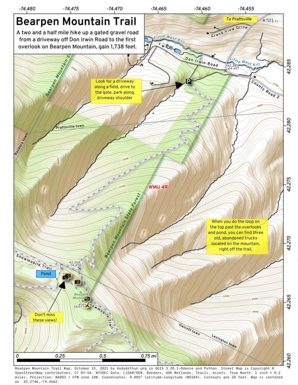
Bearpen Mountain Trail
A two and a half mile hike up a gated gravel road from a driveway off Don Irwin Road to the first overlook on Bearpen Mountain, gain 1,738 feet.
A two and a half mile hike up a gated gravel road from a driveway off Don Irwin Road to the first overlook on Bearpen Mountain, gain 1,738 feet.
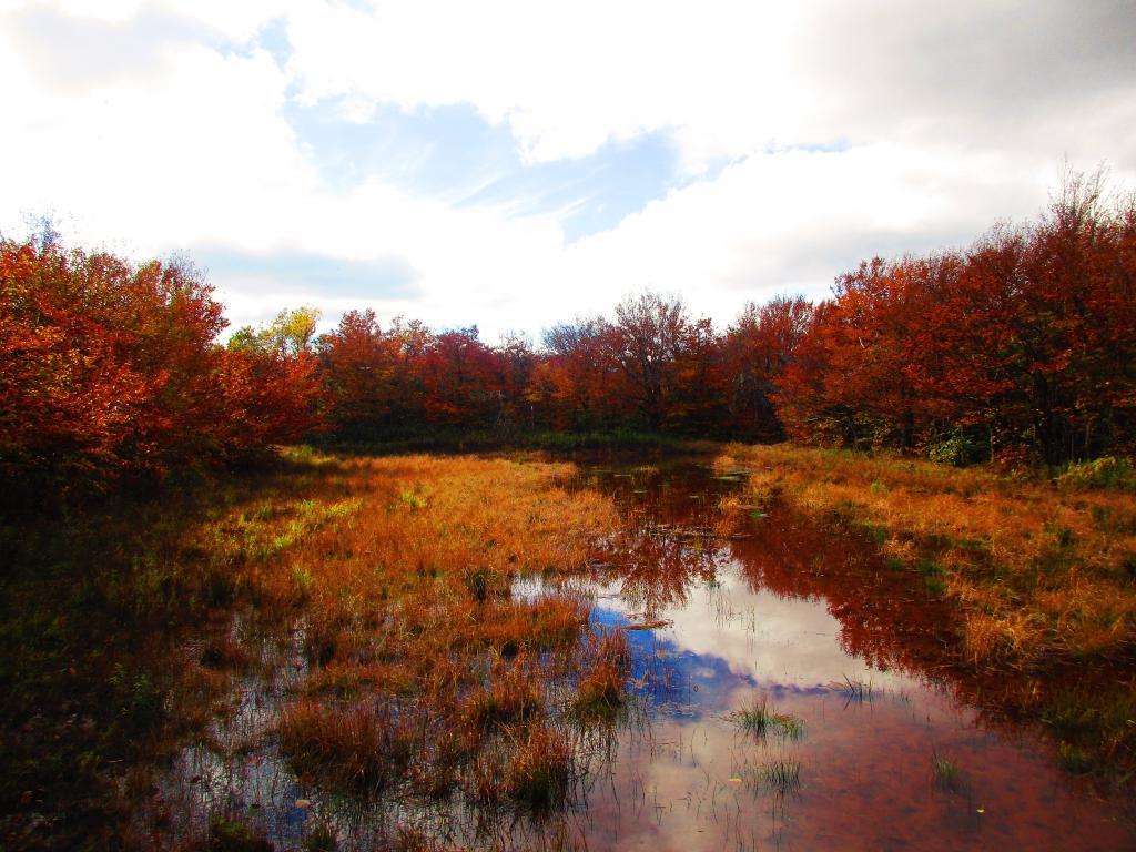
Below the summit of Bearpen on the north end with the col to North Bearpen Mountain is a couple of acres of wetland/shallow pond.
Taken on Friday October 8, 2021 at Bearpen Mountain.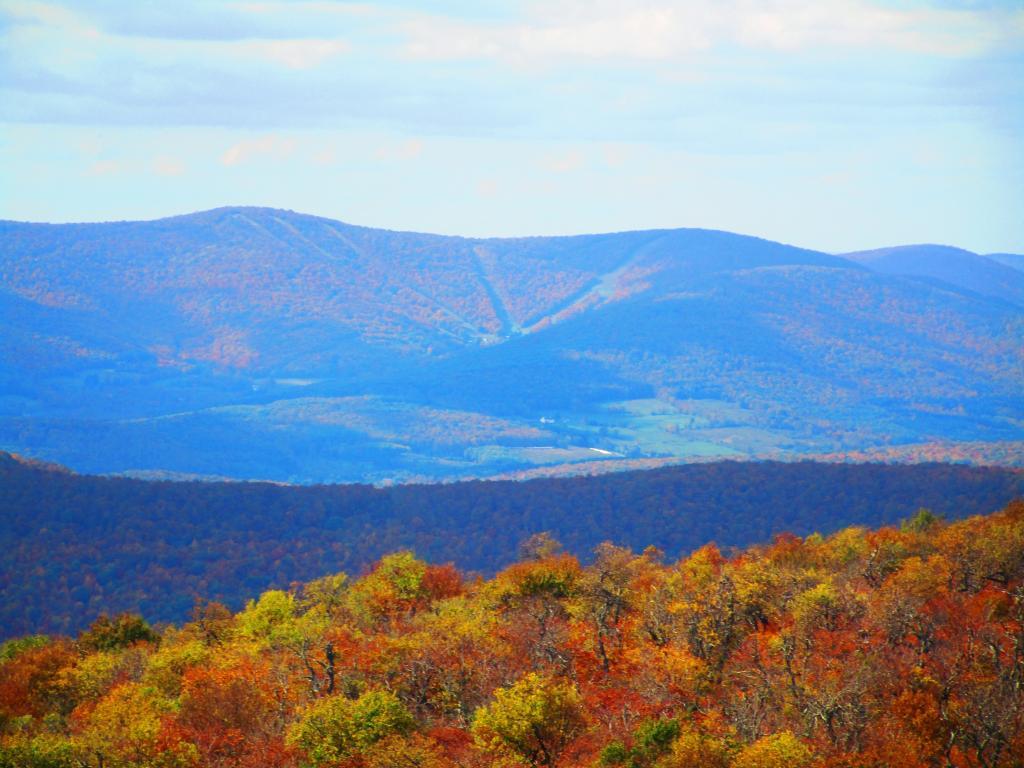
Looking down from Bearpen Mountain from the northwest vista on the north end of the mountain.
Taken on Friday October 8, 2021 at Bearpen Mountain.
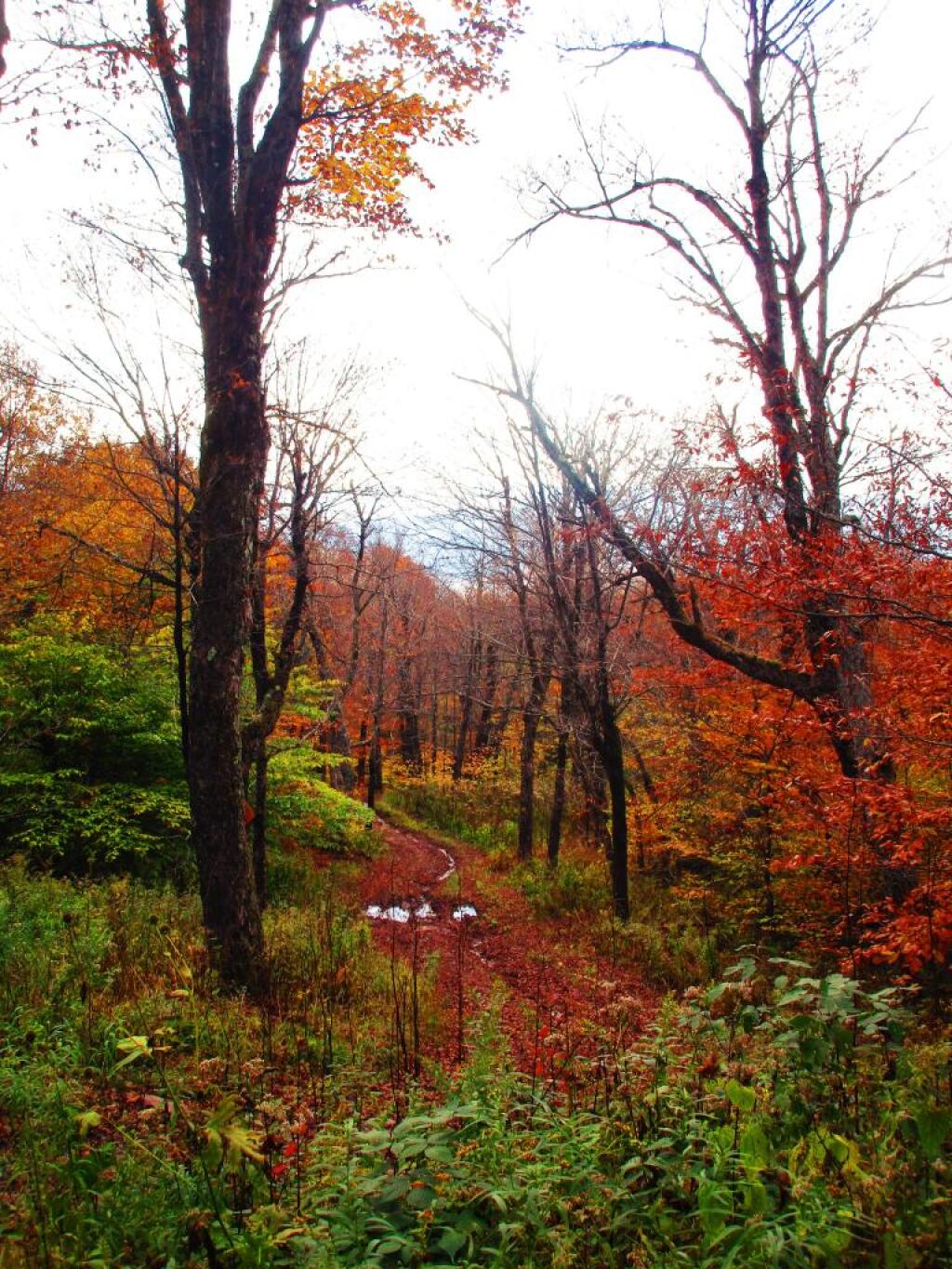
First major view from Bearpen Mountain after hiking to the top of the trail. Do take the trail north from here to see multiple other views from Bearpen.
Just a quick look out from the northerly outlook on Bearpen Mountain.
Better views from this overlook compared to the first one you approach hiking the mountain.