July 23, 2016 Night

Good evening! Clear and 73 degrees in Burdett. There is a northwest breeze at 8 mph. The dew point is 56 degrees. It’s cooled down quite a bit but it’s still pretty warm in the Finger Lakes. 

Had a nice campfire and now it’s rapidly fading away. I’m getting ready for bed shortly. The stars are decent but a little soft with high clouds. We have a Waxing Gibbous Moon in about an hour. 

Tonight will be mostly clear, with a low of 63 degrees at 4am. One degrees above normal. Northwest wind 5 to 8 mph becoming light and variable after midnight. Maximum dew point of 59 at 1am. The record low of 45 occurred back in 1985.

Tomorrow I will transfer some photos onto my phone and start posting them tomorrow. And then spend some solid time at the Watkins Glen pool. Going to bring a book, read a bit, then hop in the pool. 

Good night. 

July 23, 2016 Evening

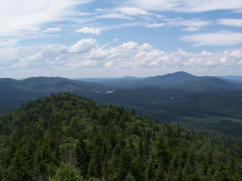
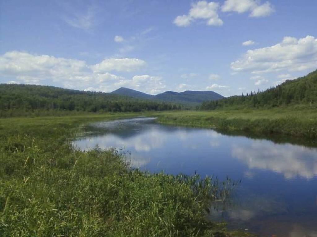
Good evening!  Mostly sunny and 82 degrees in Burdett at the Finger Lakes National Forest. Breezy, 17 mph breeze from the northwest. The dew point is 55 degrees. With that steady breeze it actually feels quite nice. 

Been setting up camp. Pitched a tent and tarp because figuring I’ll be at this campsite for at least five days, it’s bound to rain from a thunderstorm, and I wanted somewhere to put gear where it could remain dry besides in the truck. I have a heavy gauge security cable and lock for locking up the propane tank, stove, lantern and table for when I spend my days at the beach. It’s a pain to bleed out the lines so I plan to just leave things connected up while camping. 

Should be a nice night. I do need to get some firewood together and start getting ready for the night. Been kind of a lazy day after I got most of the campsite set up. 

Tonight will be mostly clear, with a low of 61 degrees at 5am. One degrees below normal. Northwest wind 10 to 15 mph becoming light north after midnight. Maximum dew point of 60 at 6am. The record low of 45 occurred back in 1985. Waning Gibbous Moon tonight with 70% illuminated. The moon will rise around 10:41 pm. The Last Quarter Moon is on Tuesday with mostly clear skies expected. The Full β€œStrugeon” Moon is on Thursday, August 18th.

Tomorrow will be sunny, with a high of 88 degrees at 3pm and generally low humidity. Five degrees above normal. Calm wind becoming west around 5 mph in the afternoon. Maximum dew point of 60 at 6am. The record high of 96 was set in 1941. The sun will rise at 5:51 am with the first light at 5:19 am, which is 57 seconds later then yesterday.

0.3 inch of rain expected between Monday 2am and Tuesday 1am. Within the next four days, a total of 0.3 inches of rain is expected. Most of that rain will be from the scattered We have some muggy weather coming up. Monday 7am – Monday 11pm. Maximum temperature will be 87 degrees, a heat index reaching 91, and a maximum dew point of 68. The rest of the week should be relatively low humidity. 

Looking ahead, National Cheese Cake Day is in 1 weeks, First Day with Average High Below 80 is in 4 weeks, Last Day of At Least 13 Hours of Daylight is in 6 weeks, Citizenship Day is in 8 weeks, First Day with Average High Below 70 is in 9 weeks, October 1st is in 10 weeks, Make a Difference Day is in 13 weeks, First Day of Sunset Before 6 PM in Albany is in 3 months and New Years Eve is in 23 weeks.

While thunderstorms will remain a risk for most of the week, except for Monday low humidity conditions will prevail here in the Finger Lakes. Warm but not outrageously warm for late July. 

Sunday Night. Partly Cloudy then Slight Chance of T-storms and 71 degrees, 64 max dew point, 5:53 sunrise.
Monday. Chance of T-storms then Showers is likely and 87 degrees, 68 max dew point, 8:33 sunset.
Monday Night. Showers is likely then Slight Chance of T-storms and 65 degrees, 65 max dew point, 5:54 sunrise.
Tuesday. Sunny and 81 degrees, 62 max dew point, 8:32 sunset.
Tuesday Night. Mostly Clear and 64 degrees, 59 max dew point, 5:55 sunrise.
Wednesday. Sunny and 85 degrees, 59 max dew point, 8:31 sunset.
Wednesday Night. Partly Cloudy and 66 degrees, 59 max dew point, 5:56 sunrise.
Thursday. Partly Sunny and 85 degrees, 60 max dew point, 8:30 sunset.
Thursday Night. Chance of T-storms and 66 degrees, 63 max dew point, 5:57 sunrise.
Friday. Chance of T-storms and 81 degrees, 63 max dew point, 8:29 sunset.

July 23, 2016 10 AM Update

Good morning! Happy Saturday. Got my eye glasses and I’m finally leaving for vacation. I just quickly stopped at the library to get John Steinbeck’s Travels with Charley, which I thought would be a perfect book for a summer road trip. My gear is all packed and I double checked my apartment and I’m leaving now. 

Going to be a nice drive out there with it being mostly sunny and 80 degrees in Delmar. There is a west-northwest breeze at 10 mph. The dew point is 63 degrees.

Today will have isolated showers and thunderstorms after 3pm. Some of the storms could produce small hail and gusty winds. Mostly sunny, with a high of 90 degrees at 3pm. Seven degrees above normal. Northwest wind 10 to 16 mph. Chance of precipitation is 20%. Maximum dew point of 64 at 11am. The record high of 96 was set in 1955. The sun will set at 8:24 pm with dusk around 8:56 pm, which is 55 seconds earlier than yesterday. Today will have 14 hours and 44 minutes of daylight, a decrease of 1 minutes and 53 seconds over yesterday.

Tonight will have isolated showers and thunderstorms before 10pm. Mostly clear, with a low of 63 degrees at 5am. One degrees above normal. Northwest wind 5 to 8 mph. Chance of precipitation is 20%. Maximum dew point of 64 at 8pm. The record low of 45 occurred back in 1985.

0.3 inch of rain expected between Monday 8am and Tuesday 1am. Within the next four days, a total of 0.3 inches of rain is expected. We have some muggy weather coming up. Monday 9am – Tuesday 10am. Maximum temperature will be 91 degrees, a heat index reaching 97, and a maximum dew point of 71. Wednesday 7am – Wednesday 9am. Maximum temperature will be 74 degrees and a maximum dew point of 65. Thursday 6am – Thursday 9am. Maximum temperature will be 75 degrees, a heat index reaching 75, and a maximum dew point of 65. Thursday 5pm – Friday 12am. Maximum temperature will be 89 degrees, a heat index reaching 91, and a maximum dew point of 66. Friday 11am – Friday 6pm. Maximum temperature will be 85 degrees, a heat index reaching 87, and a maximum dew point of 65. Going to be hot and sticky next week but excellent weather to be pool side. 
On this day in 1967, today was the start of 12th Street Riot In Detroit, one of the worst riots in United States history begins on 12th Street in the predominantly African American inner city. It ultimately kills 43 people, injures 342 and burns about 1,400 buildings.

There are 1 weeks until National Cheese Cake Day when the sun will be setting at 8:16 pm with dusk at 8:48 pm. The average high temperature is 82 degrees, with a record high of 100 in 1933.

Today is going to be a great one. Enjoy it. Next update from the Finger Lakes.