Been Fairly Warm, But We Have a Lot More Winter Left

So it would seem. Today is January 17th, which means we are well onto the second half of the month, but it will continue to drag out quite a bit until we reach the warmer and muddier weather of April. I am hoping to get out camping fairly early on in April, although a lot depends on how much snow there is left. I honestly would much rather use all scrap paper stuff around my apartment to start a campfire then take it to the recycling center.

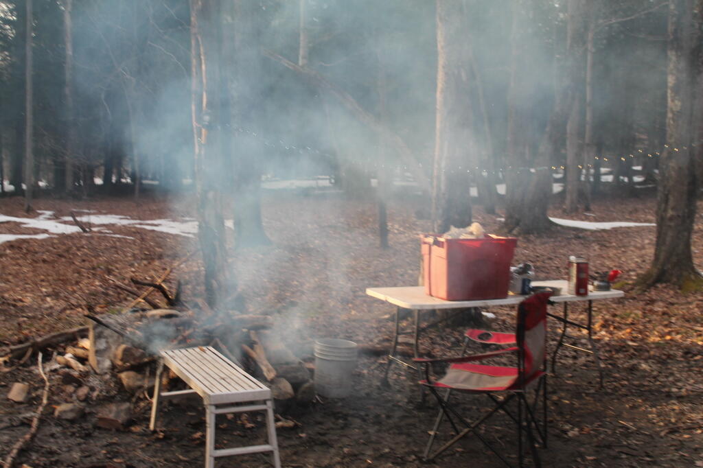
Smokey Campfire

The thing I miss the most about this time of year is traveling. I can certainly make day trips, but it’s still pretty cold to do much outside most weekends. You never know what the back-roads are going to be like this time of year or how a snow squalls could impact your travels. I love being back in the woods, listening to music next to a campfire, having a delicious campfire meal on styrofoam plates, while enjoying a cold drink.

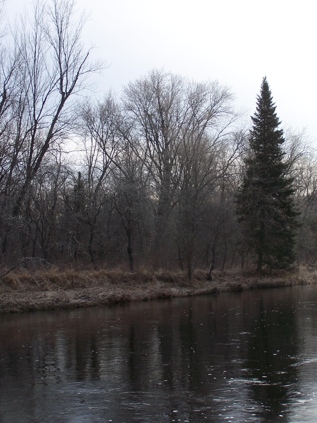
South West Down the River

Supposed to plunge back down for next week. More winter like with less mud. Maybe even a bit of snow. Maybe for my birthday weekend, the weather will be nice for some kind of road trip.
Made it to a Friday

For many people this is going to be a much deserved long weekend, because it seems like this has been a long week. Monday is Martin Luther King Day for many employees. It’s become a fairly major holiday where many offices are closed. After the many holidays of December and the various days I took off during that slow time at work, this month has been crazy.

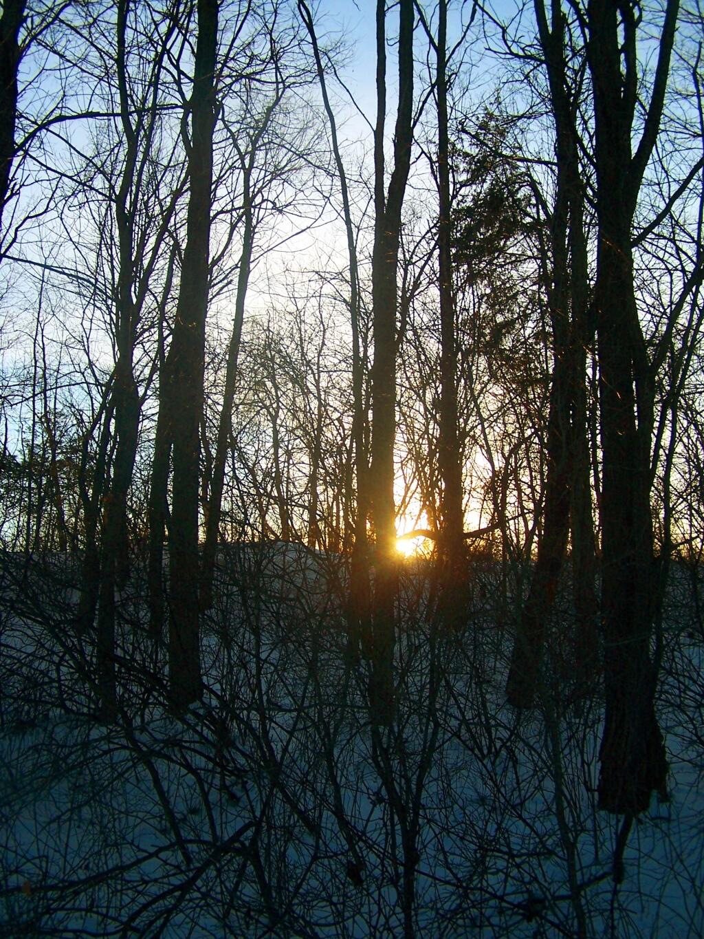
Sunsets Over Hill

Another long week will finally be coming to an end if we make it through this workday.

Discovered NYS Orthos Online Offers 1m/2m LIDAR Elevation Profiles

Screenshot - 01172014 - 07:45:25 AM

The hot thing in the GIS world today is the LIDAR elevation mapping, which uses airplanes to map elevation with an accuracy down to 1 or 2m (3-6 ft). Most maps traditionally use Digital Elevation Model mapping, which is about 10m accurate, which gets you elevation numbers which can be off as much as 30 feet, and is based not on actual computer imagining, but instead on old topographic surveys which don’t always reflect the latest data.

I had previously tried to down the Albany County contours from the NYSGIS website, which are available in the ERSI GDB format, how apparently the contours were made in an older version of GDB, which lacks an open source driver. However I also discovered yesterday that NYSGIS offers all that data as conventional DEM files, which are easily read by almost every GIS client.

There are a lot of interesting possibilities for using these higher resolution files.

Recently captured elevation data is available in digital elevation model files for many parts of New York State if you know where to look on the NYS GIS website.