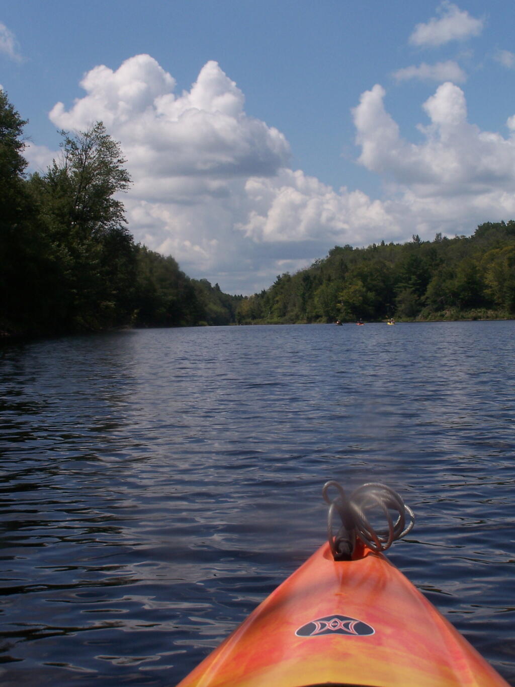
This is the channel above the Upper Lows Dam, which technically is Lows Lake now. About a mile up from here, the lake gets shallow, and you must portage up into the more open Lows Lake main section. Yes, the camera lens has beer in it, that now has to dry out before I can take any more pictures. Nothing until tomorrow. It's my Friday the 13th luck and stupidity of leaving the camera in the kayak, not in it's protective case, as I pull out, and spilled beer soaks everything.
Taken on Friday August 13, 2010 at Hitchens Pond.
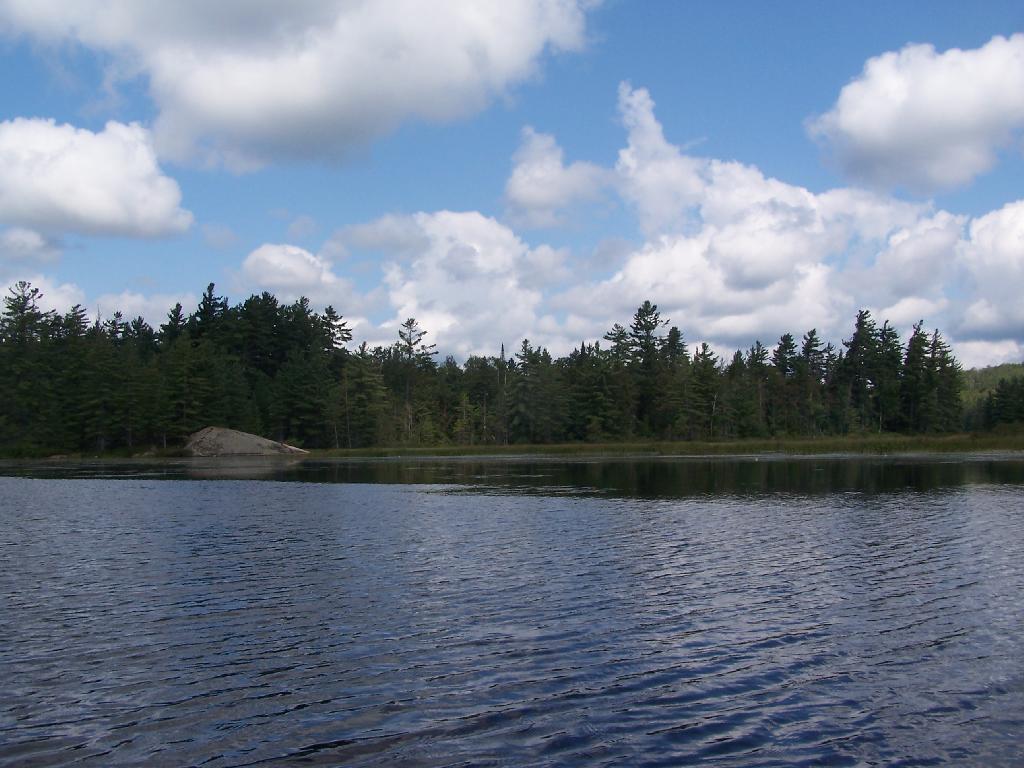
Here things open up quite bit.
Taken on Friday August 13, 2010 at Hitchens Pond.
This is about a mile after the pavement runs out on NY 421, just after the Bog River Flow / Lower Lows Dam Road turn-off
Taken on Friday August 13, 2010 at Horseshoe Lake.
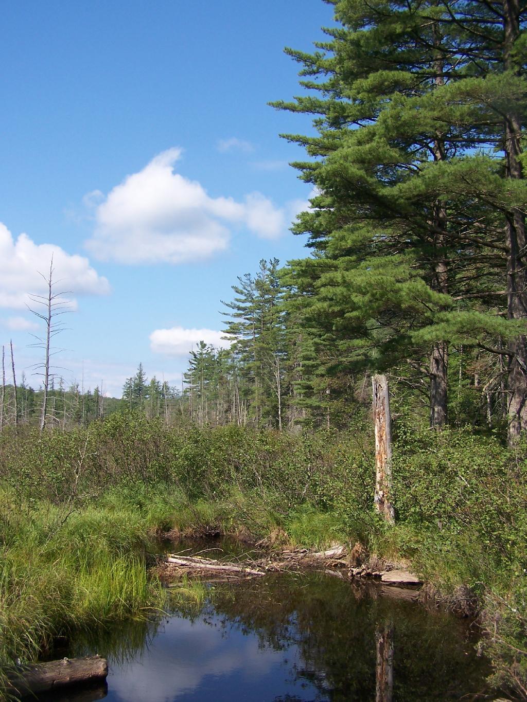
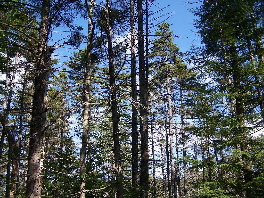
Along the quiet Unnamed Dirt Road, some views through the trees.
Taken on Friday August 13, 2010 at Horseshoe Lake.
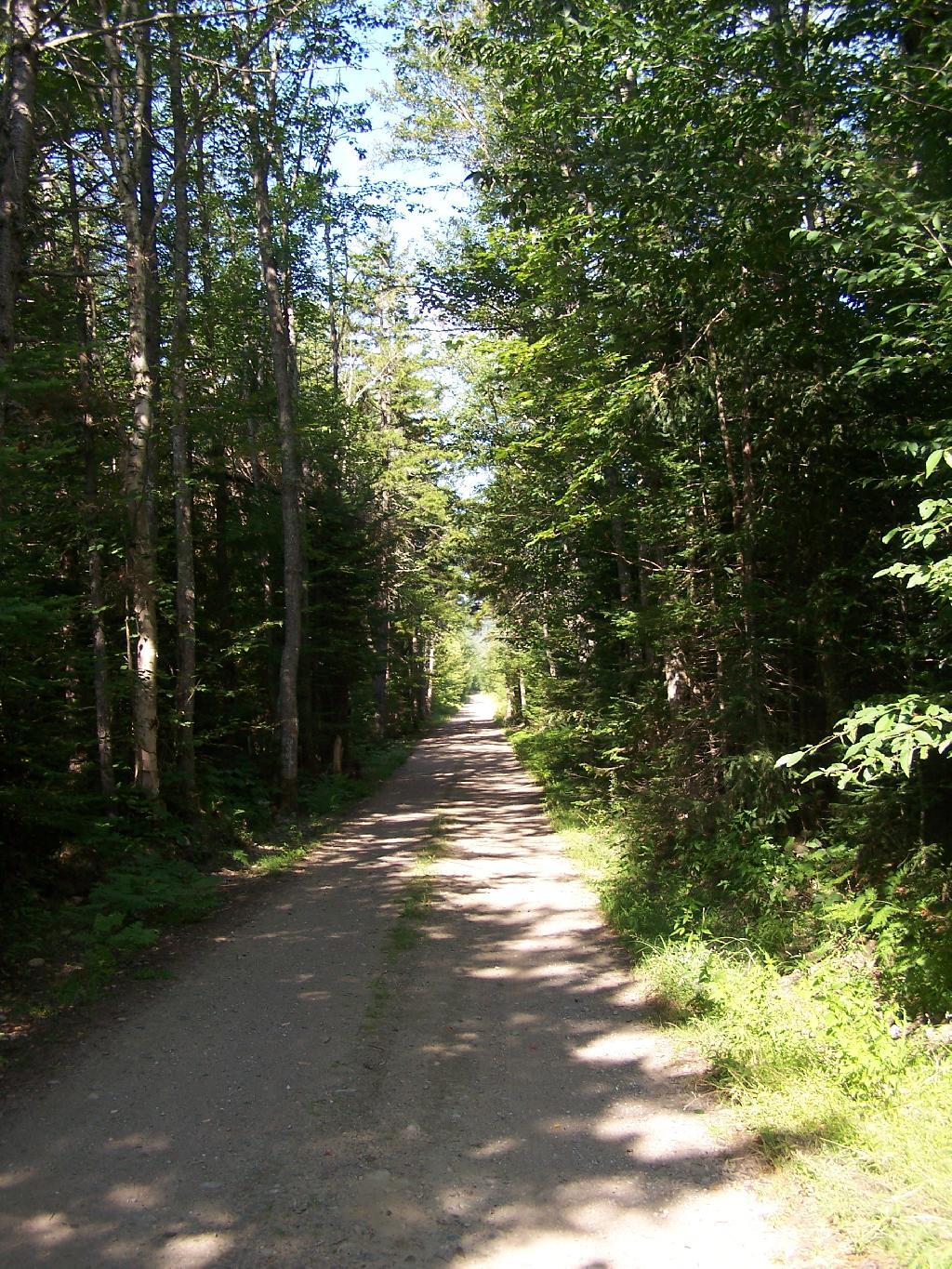
This is the road that goes from Horseshoe Lake to Mount Arab / Piercefield.
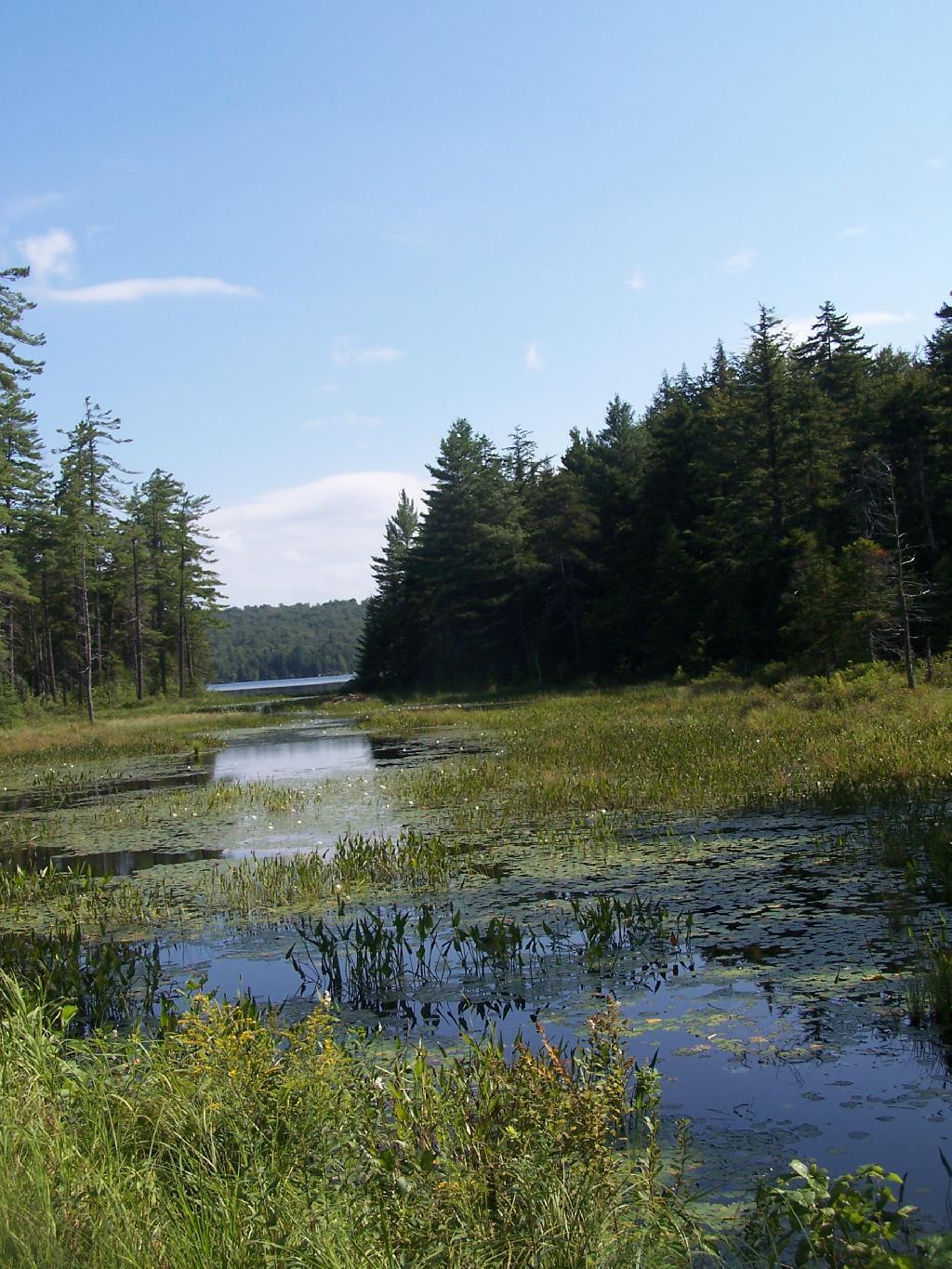
Taken on Friday August 13, 2010 at Horseshoe Lake.
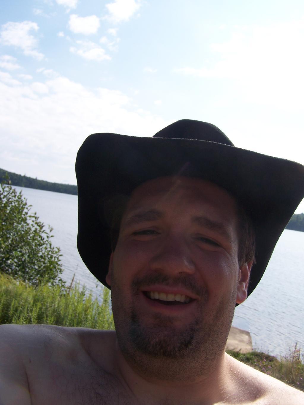
Not that you could get the total picture from this image. But the cowboy hat and work boots came off before the dip. A real country boy thing.
Taken on Friday August 13, 2010 at Horseshoe Lake.