hiking

Revisting High Point

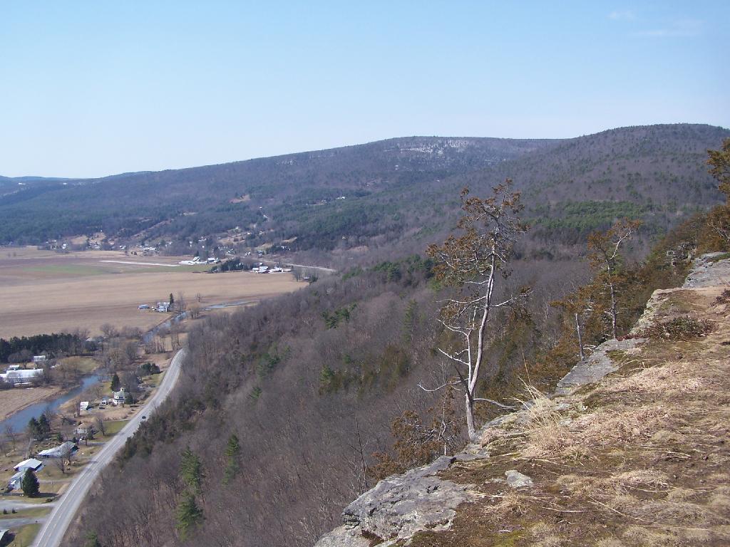
On July 4th, I decided to go for a walk up to Thatcher Park/OSI parcel to check out the cliffs once again now that we are fully in the summer season with all of the grass out a bright green color.

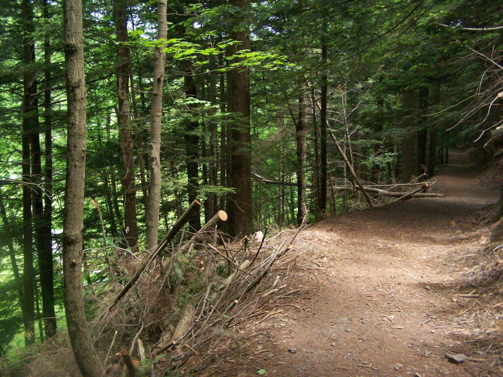
The Trail

High Point and Beyond.

Beyond the Escarpment

Corn growing along Gardner Road.

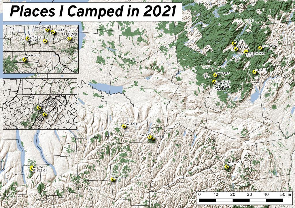
Places I Camped in 2021

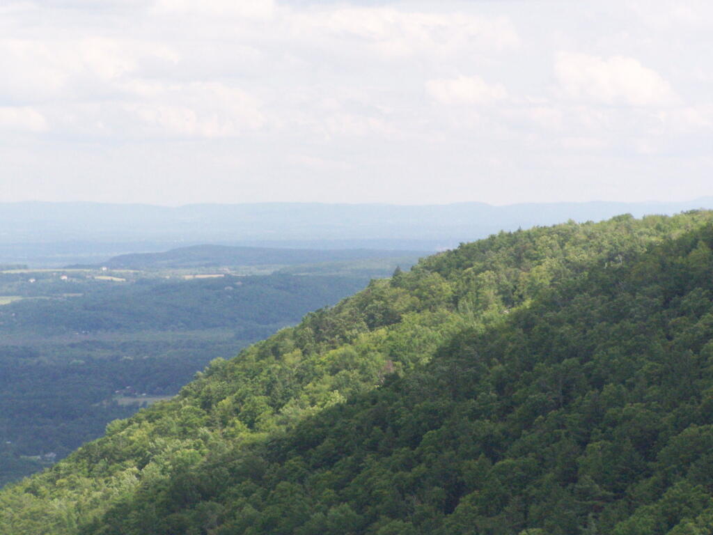
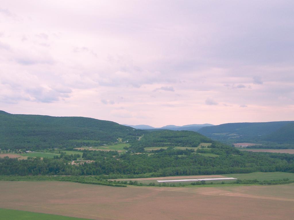
Light and dark landscapes off High Point.

Light and Dark

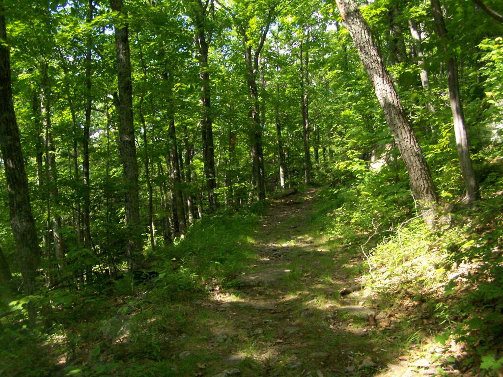
The trail passes several meadows and open areas.

Meadow

The old query with some interesting rocks stacked up.

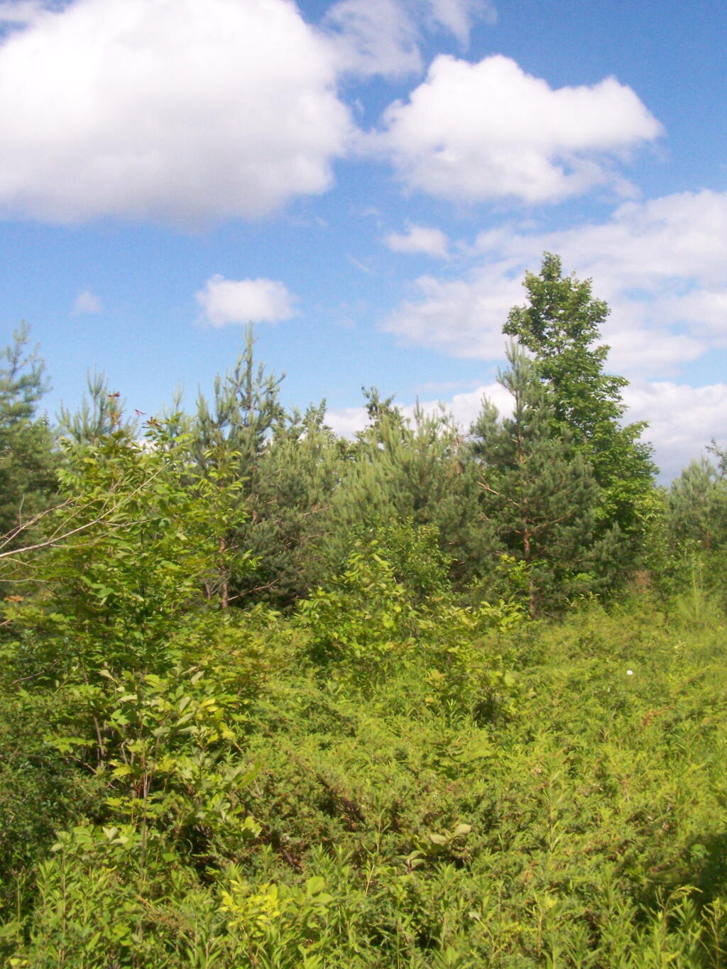
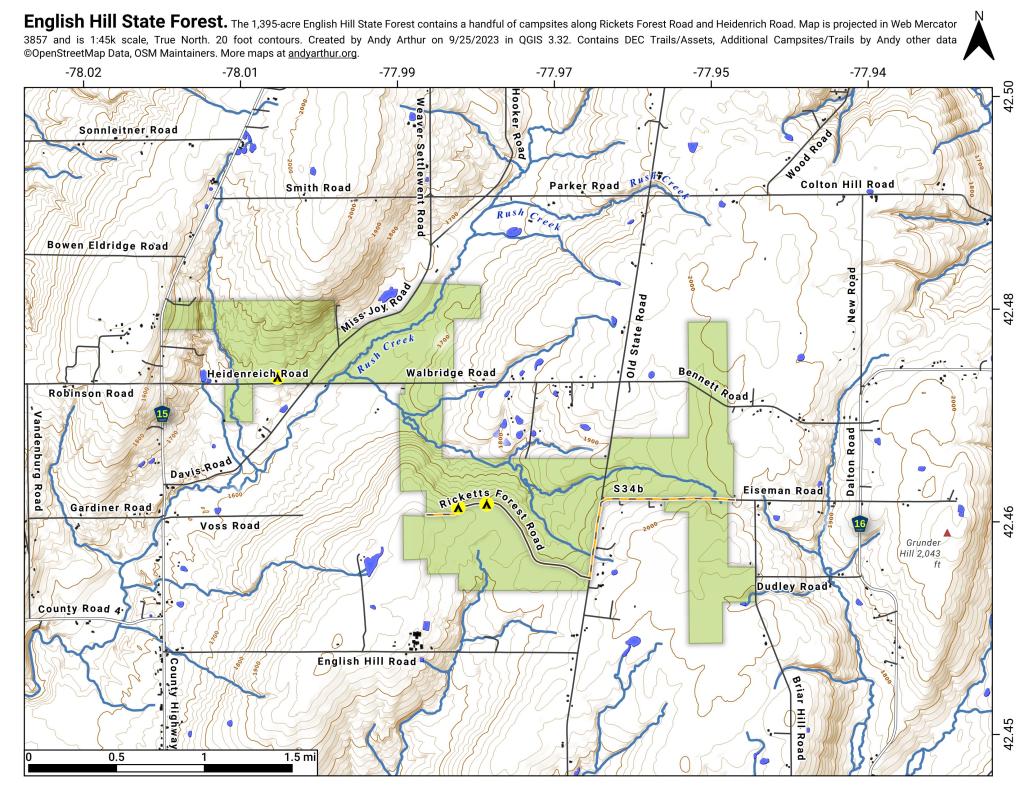
English Hill State Forest

The trail when it follows hedgerows in farm fields.

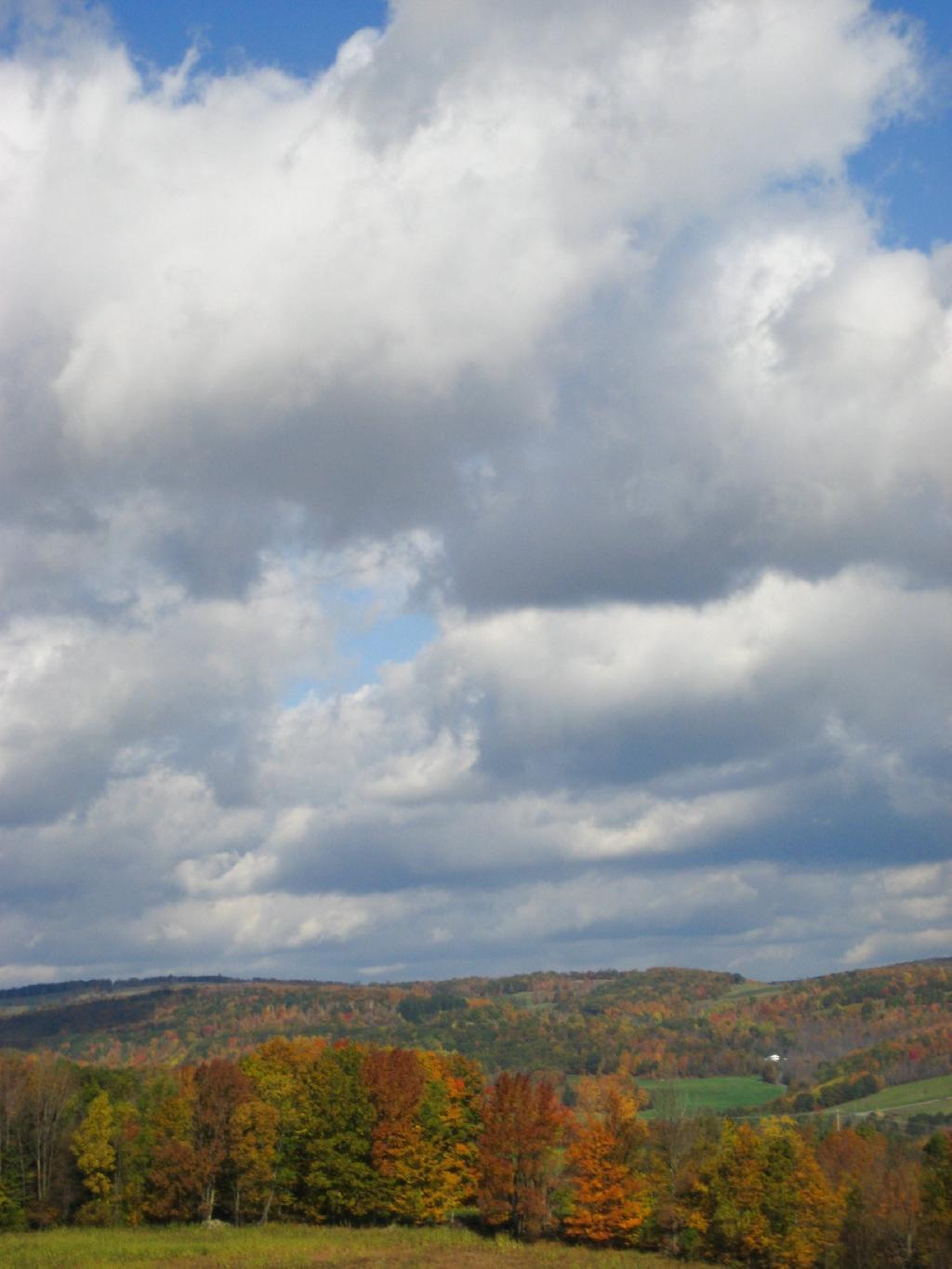
Clouds


View Hikes of 2009 in a larger map

Sugar Hill Firetower & State Horse Camp

The final night of my Finger Lakes Trip I spent the night up at Sugar Hill State Forest, a series of 9,500 acres of state land, popular for horse owners. This parcel has two main camping areas, about 90 miles of horse trails, 3 lean-tos geared to equine users, and one nice new lean-to that is accessible solely by foot.
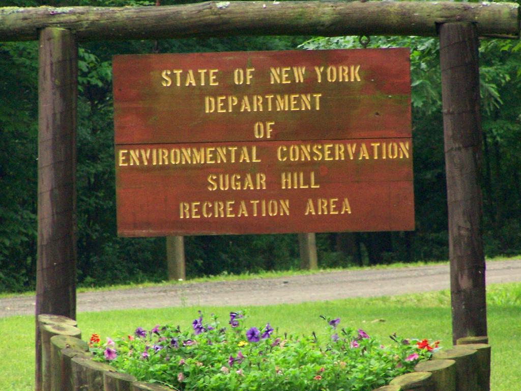
Sugar Hill Recreation Area

You don’t see signs like this located in downtown Albany.
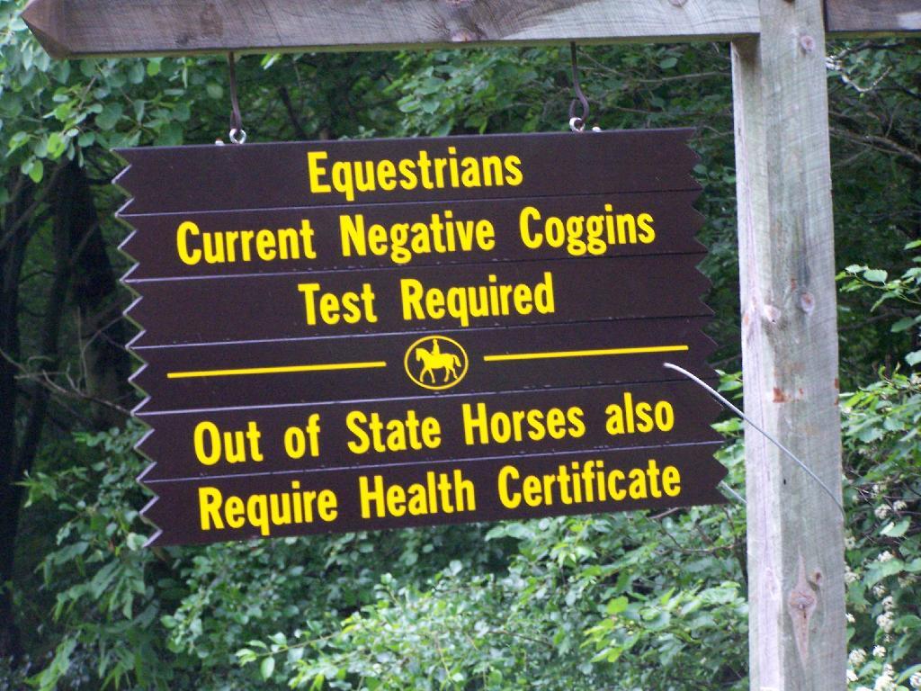
Negative Coggins Test

This is all conveniently located about 15 miles from Watkins Glen, at the headwaters of Townsend and Glen Creeks that make up the water that flows through the Glen.

While I didn’t spend a lot of time going around and grabbing pictures of the Horse Camp, I did take some pictures and have some from when I visited this area during the previous summer. This was in part because the last day was rather gray, with heavy rain at times, and I was frankly quite tired.

There also is a firetower at the main horse camp area, which is filled with RVs, horse trailers, and horses during the summer weekends. This is shown below:


View Hikes of 2009 in a larger map

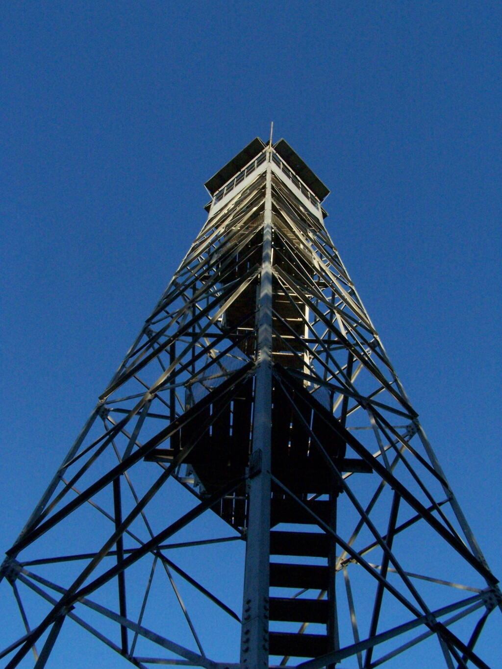
Here is the fire tower:

Firetower

Here is the main horse camp, with new bathroom facilities including flush toilets. This was installed two years ago due to the popularity of the horse camp and contamination concerns by the overuse of the conventional pit privy.
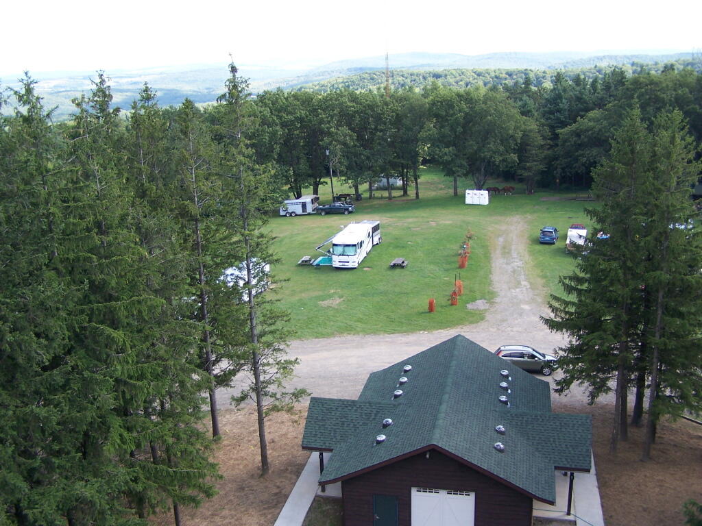
Six Nations Horse Camp

Horses tied up. I took this last year, when they where still building the replacement bathroom for the pit privy, and therefore the porta-potties.
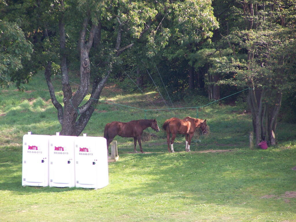
Horseys

Some wildflowers noticed along a short walk…
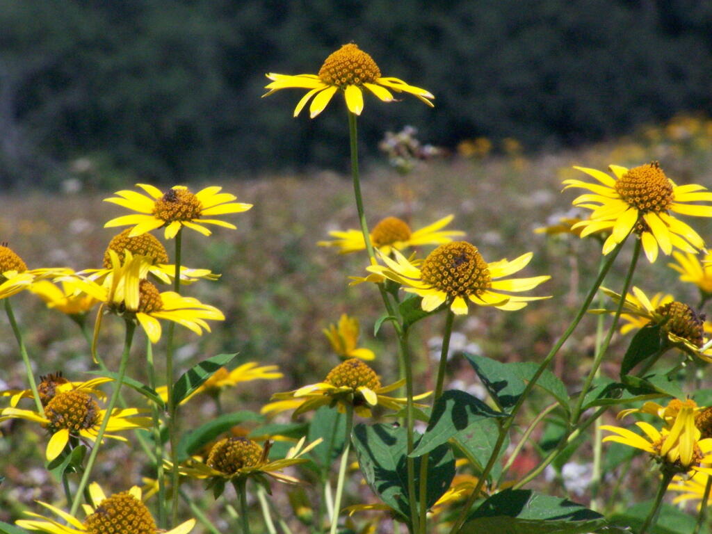
Flowers

A bed of fog over Kueka Lake from the Firetower from last year.
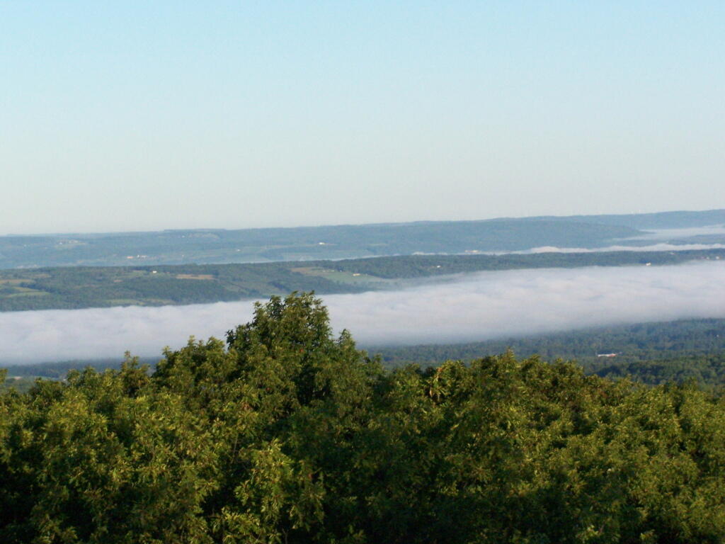
Bed of Fog

Thunder clouds approaching from the west from the Firetower. It was not of course thundering when I was on the tower. I’m not that stupid.
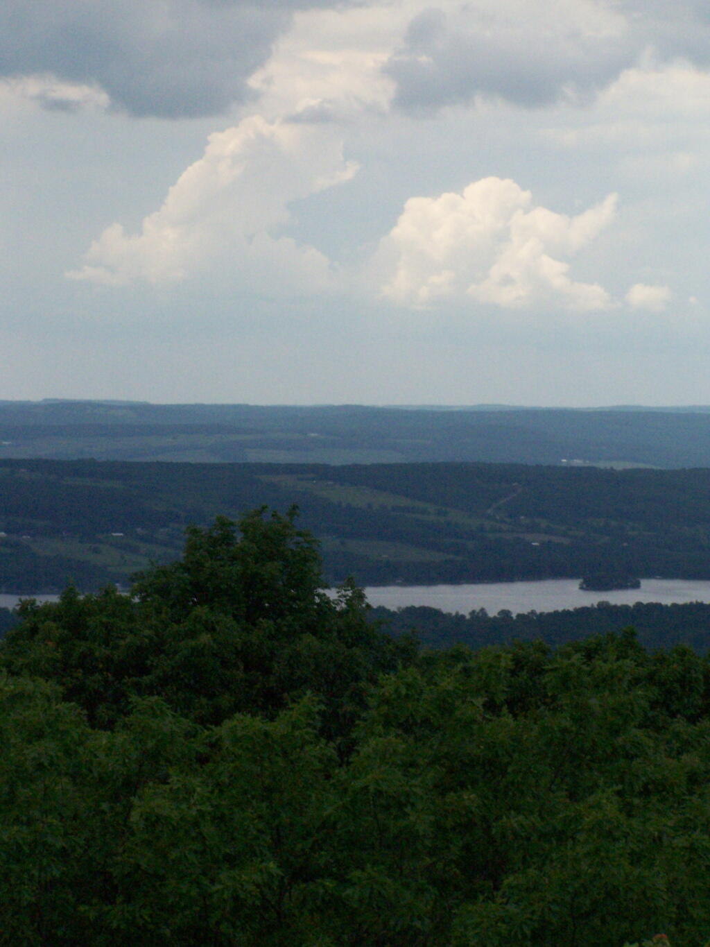
Thunderheads

Descending the firetower, looking east towards Seneca Lake.
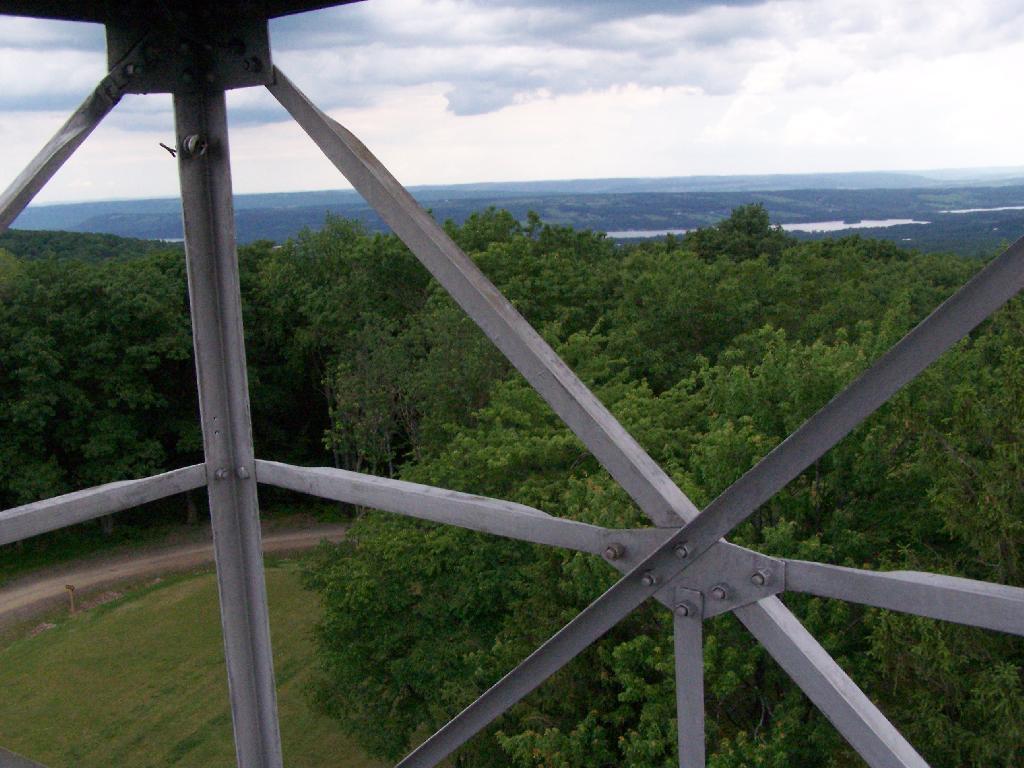
Descending Firetower

Rather then camping at the main horse camp, where there where several people set up with horses, I decided to camp at the lower area, which is much less popular, but as nice if not nicer.
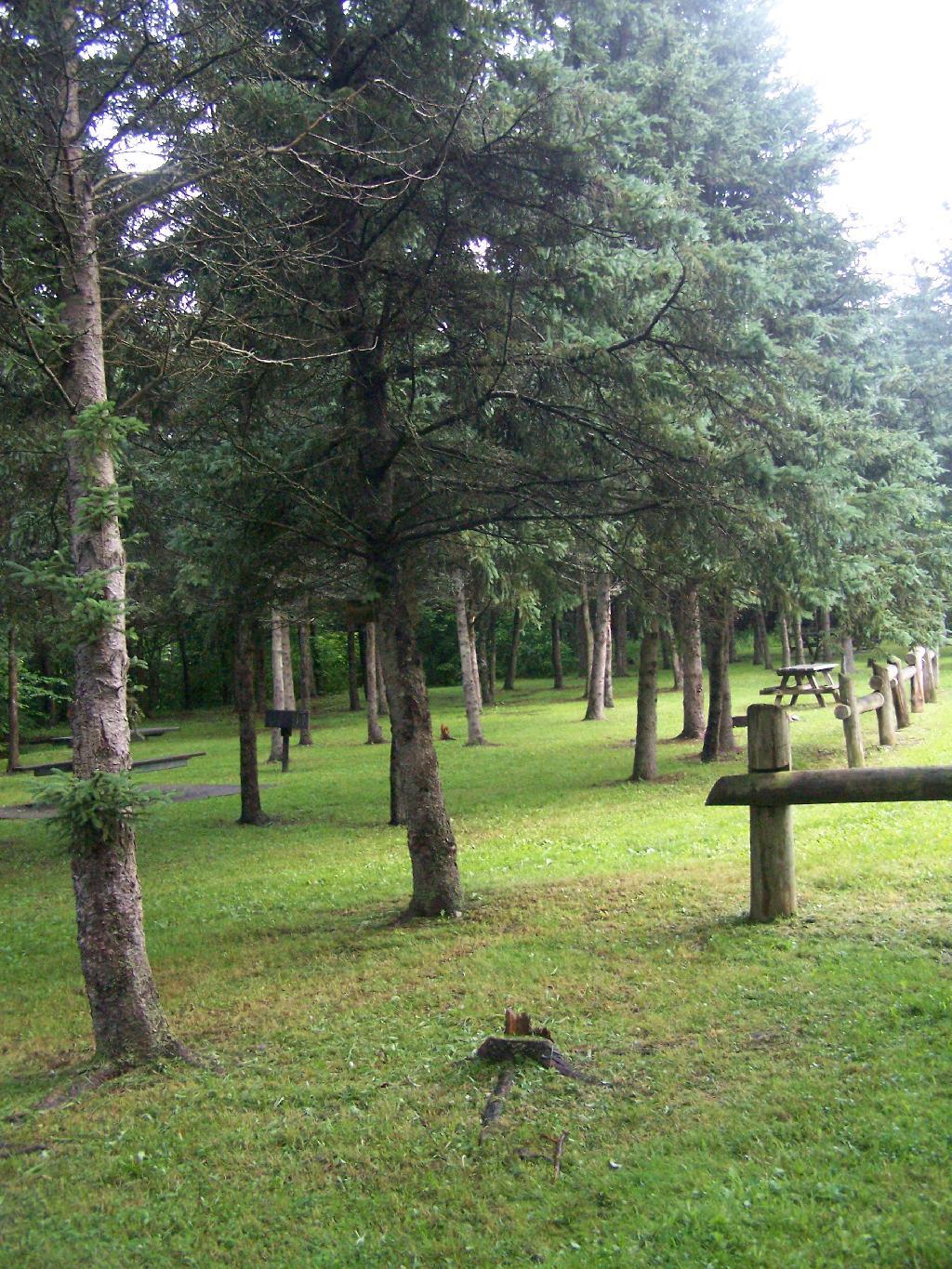
Horse Tiedowns

They still have lots of things for the horse owner to use.
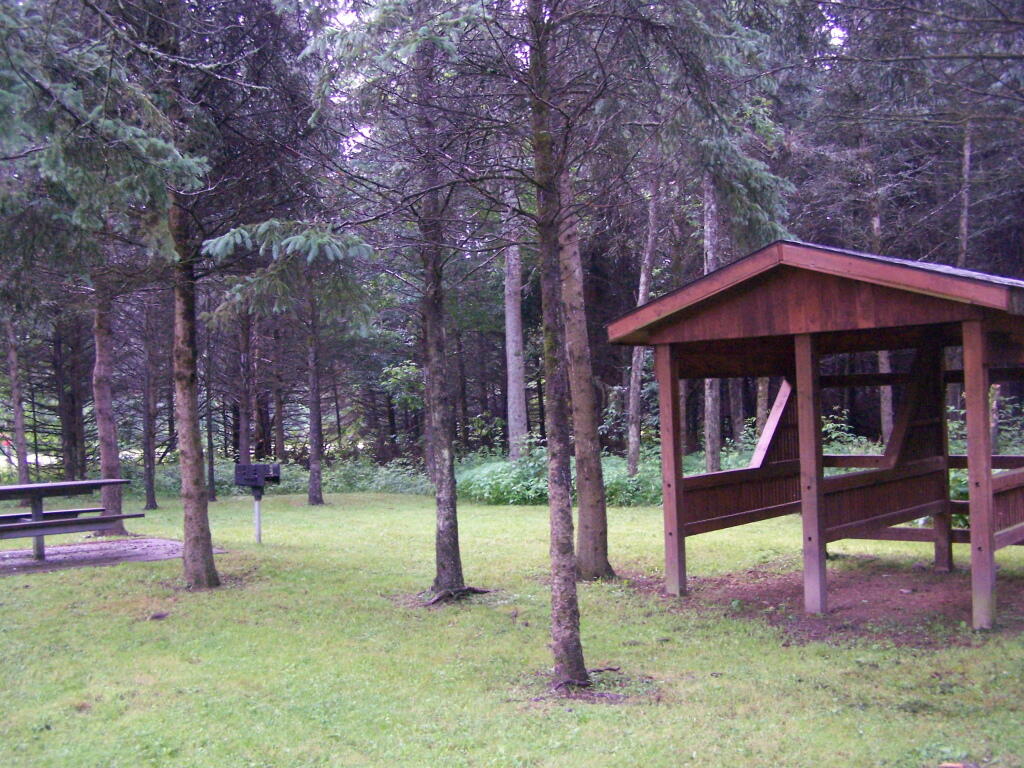
Horse Stables

In the evening it started to rain. It didn’t bother me much, as I had the tarp over my truck and the picnic table, and thanks to the cement base under the table, there was no mud or muck to get kicked up.
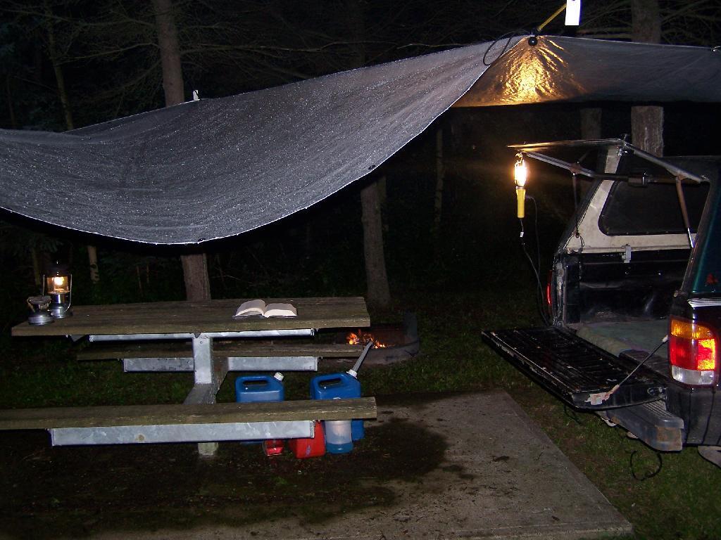
Reading in the Rain

This was my camping arrangements, as seen in the morning. Not bad, especially for a free campsite.
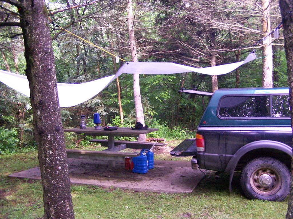
Camping

Making some coffee in the morning. I drank an incredible amount of coffee during this week.
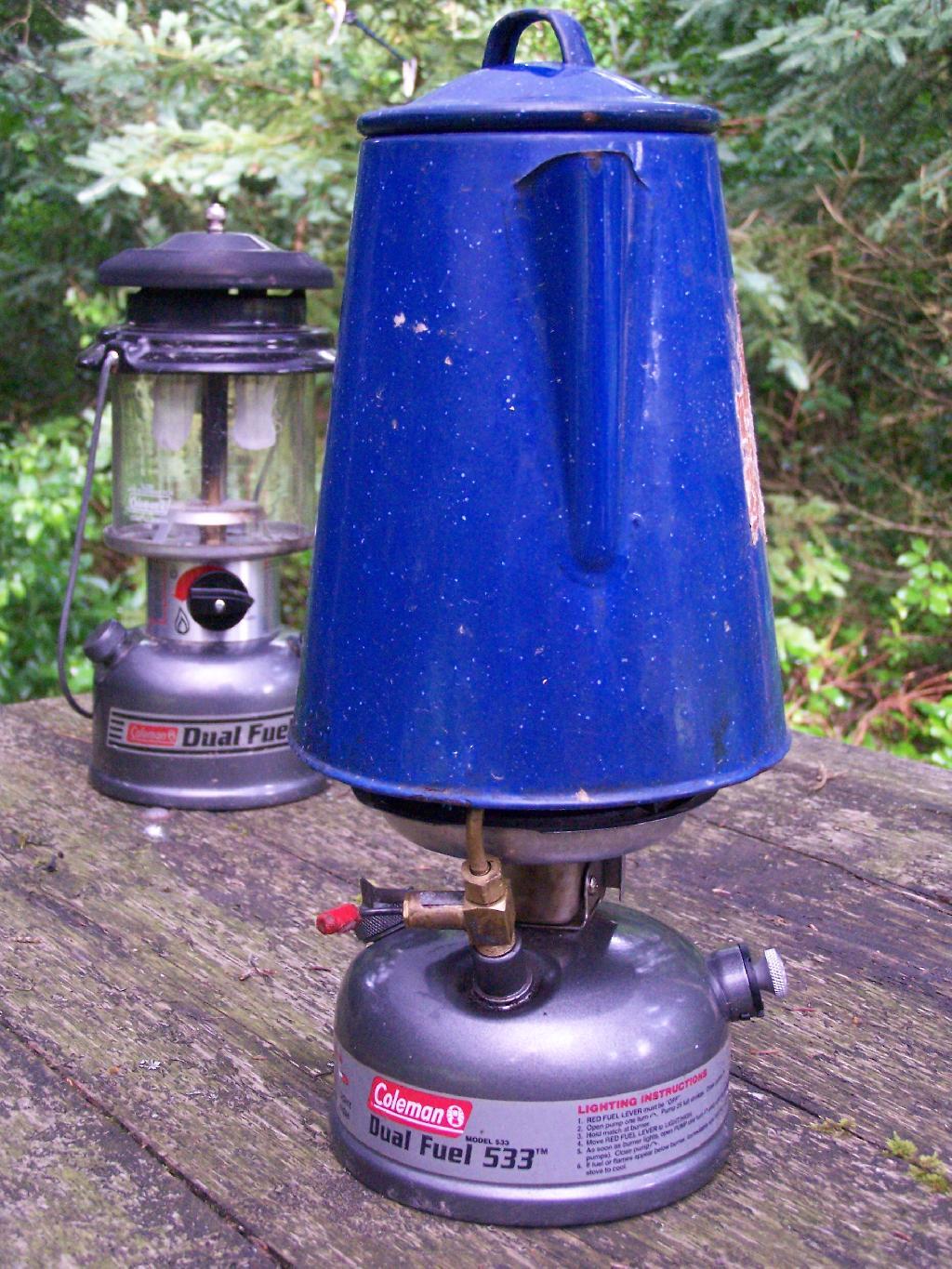
Camp Stove

Where I camped, after everything was all packed on up.
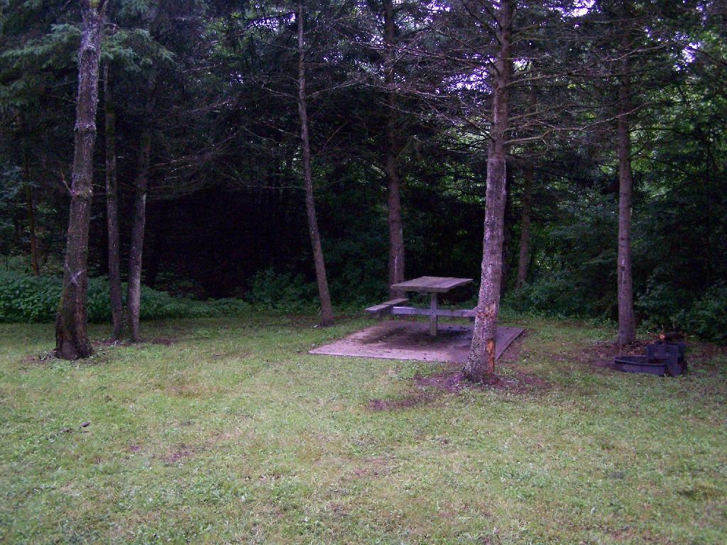
Site

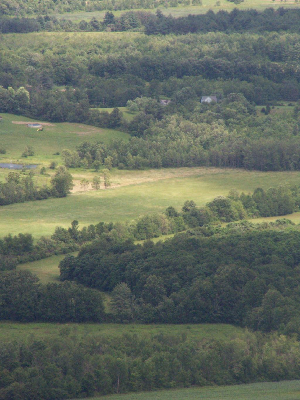
Farms from off Six Nations Hill in the rain, looking south.
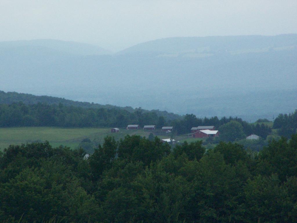
Farm

Maps from the DEC of Six Nations Horse Camp:

I drove the following route on Day 3 of the Finger Lakes Trip, in yellow. The loop is where the firetower and main horse camp is. Following the green line due south, takes you to the southern horse camp where I spent the night camping.


View Finger Lakes Trip June 2009 in a larger map

Day 4 I visited Corning and checked out Big Flats, which is now unfortunately little more then suburbanite crap. Corning was kind of neat, except that it started to pour when was down there. I then drove down to Sayre, PA, and through northern Pennsylvania so I could pick up some fireworks for the forth of July. I probably could have come right back into the state, but I certainly didn’t want to be followed by undercover cops, with my fireworks (yes, I’m a little paranoid).

Rural Pennsylvania was quite pretty, except for the heavy rain and the fact that Route 706 was so damn narrow and twisty. When I got back to NY, I really appreciated how much better our state’s roads really are. I drove back via I-88, occasionally hopping back on Route 7 for some additional variety to my trip. I got home around 4 PM.


View Finger Lakes Trip June 2009 in a larger map

The green line follows my return trip. It took about 6 1/2 hours, including stops in Corning and other places.

Map: Severence Hill Trail
Map: Gilman Lake

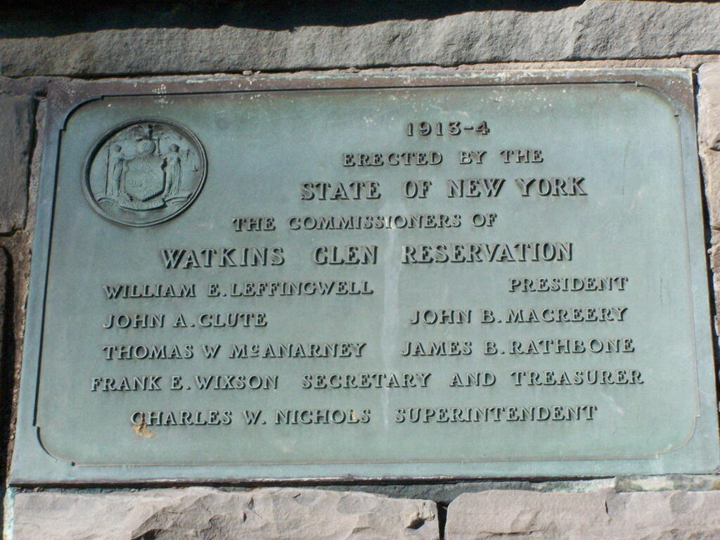
Watkins Glen

I happened to be driving through Watkins Glen on my trip from the Finger Lakes National Forest to Sugar Hill State Horse camp, so I figured I would take a walk up the trail once again. I’ve been there before, but I figured this would be a chance to get photos when the light was better.

Watkins Glen Sign

The last time I was there it was early in the morning. This proved to be a problem for photograhpy, without a tripod, because it was so dark in there. It was much lighter in the middle of the day, abit much more crowded. It also was a very humid day out there.

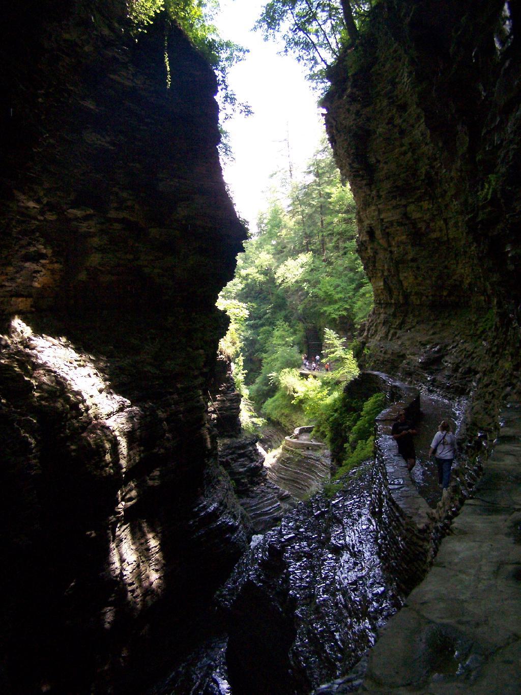
Clove

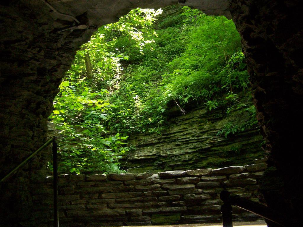
In several sections of Watkins Glen the trail cuts through caves to get around mountain faces, then emereges out to the most beautifully lit green areas.

Green Cave

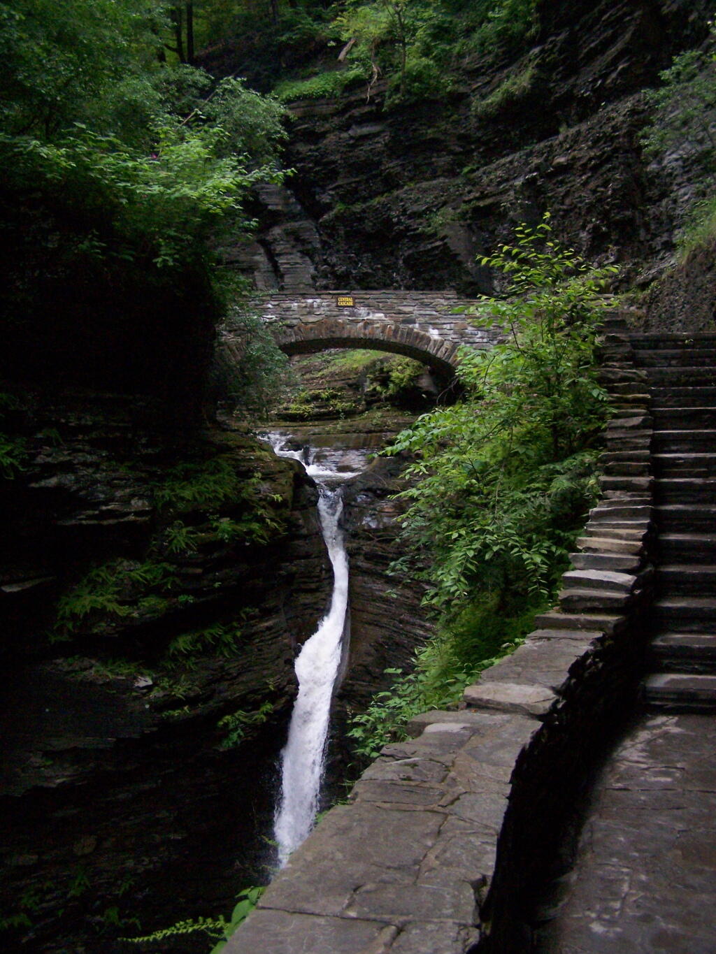
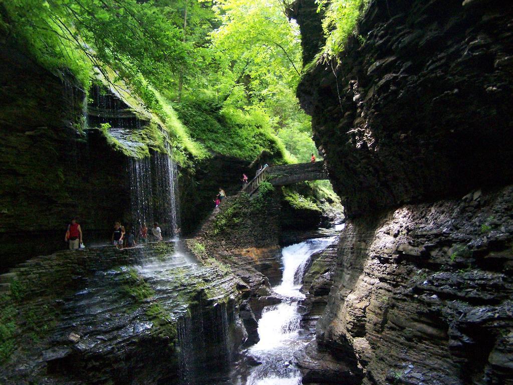
The trail follows the edge of the Glen, crossing it several times on beautiful stone bridges.

Bridge

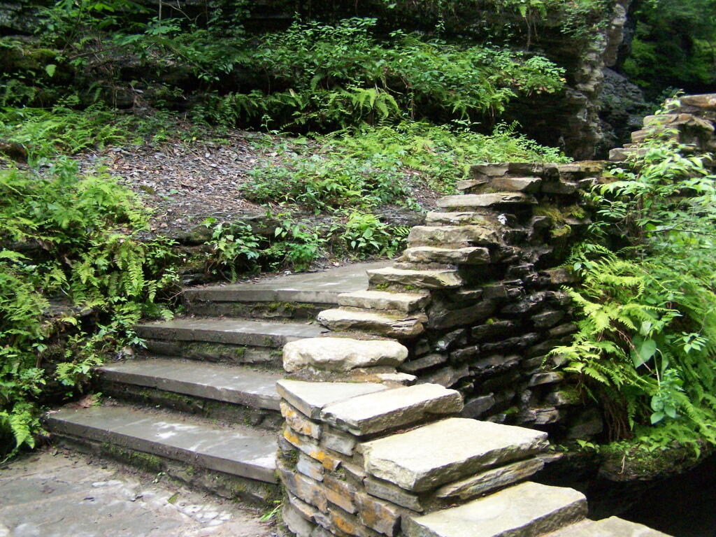
The trail is beautifully designed and a pleasure to walk, although on a humid day like today, it was pretty hot, despite being largely in the shade.

Stairs Turn

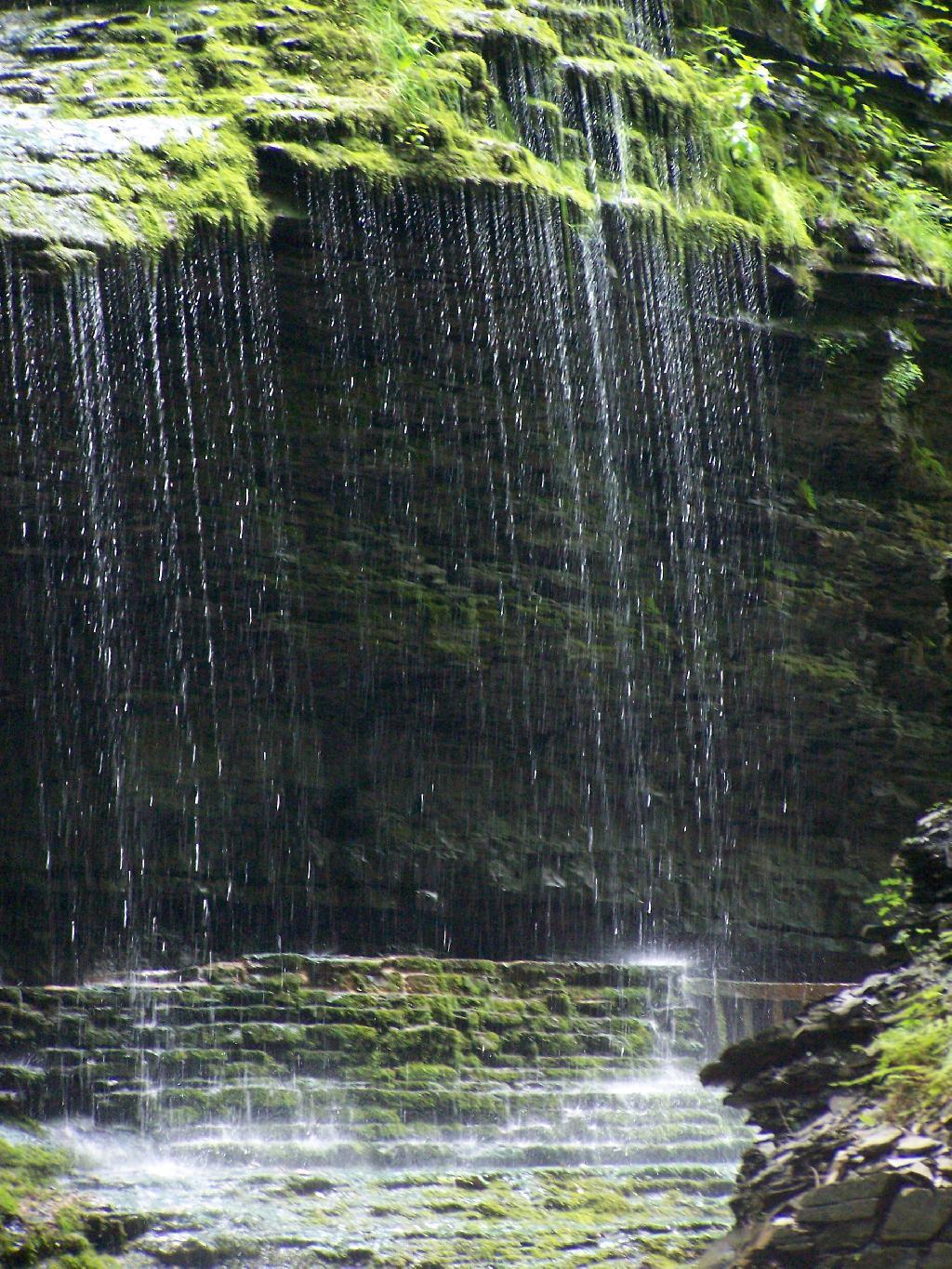
The trail goes under several waterfalls, and after the week’s rainy days, it was pretty wet in spots.

Drip Drop

And almost magical scene in Watkins Glen. This whole area somewhat spirtual feeling, especially on the backdrop of such rich greens.

Stay Dry

When you reach the top of the glen, the waterfalls become farther appart and less steep and the creek is relatively flat.

Year of Peak Employment by County

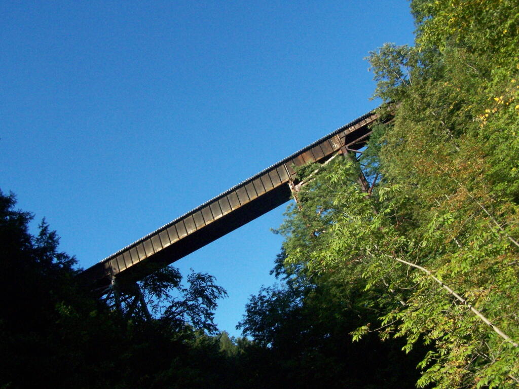
At the top of the Glen is this old railroad bridge. It appears the line is actively used; it would be neat to capture a train going over the Glen. Maybe someday.

Railroad Bridge

Here is a map of the trail I walked in Watkins Glen.


View Hikes of 2009 in a larger map

Here are maps of Watkins Glen.

Vromans Nose

After spending the night at Burnt Rossman I decided to go up Vromans Nose for a short hike, where I could sit out and watch over the Schoharie Valley and take some pictures. I’ve been up Vromans Nose a dozen of times before, but it’s always nice to go up for another visit.

The old roadbed up the mountain.

Old Road Bed

The edge of the mountain.

Edge

With thunderstorms coming in the sky was the most interesting of colors.

Pinkish

I spent about an hour up there before coming down.


View Hiking in 2009 in a larger map

Mount Tremper

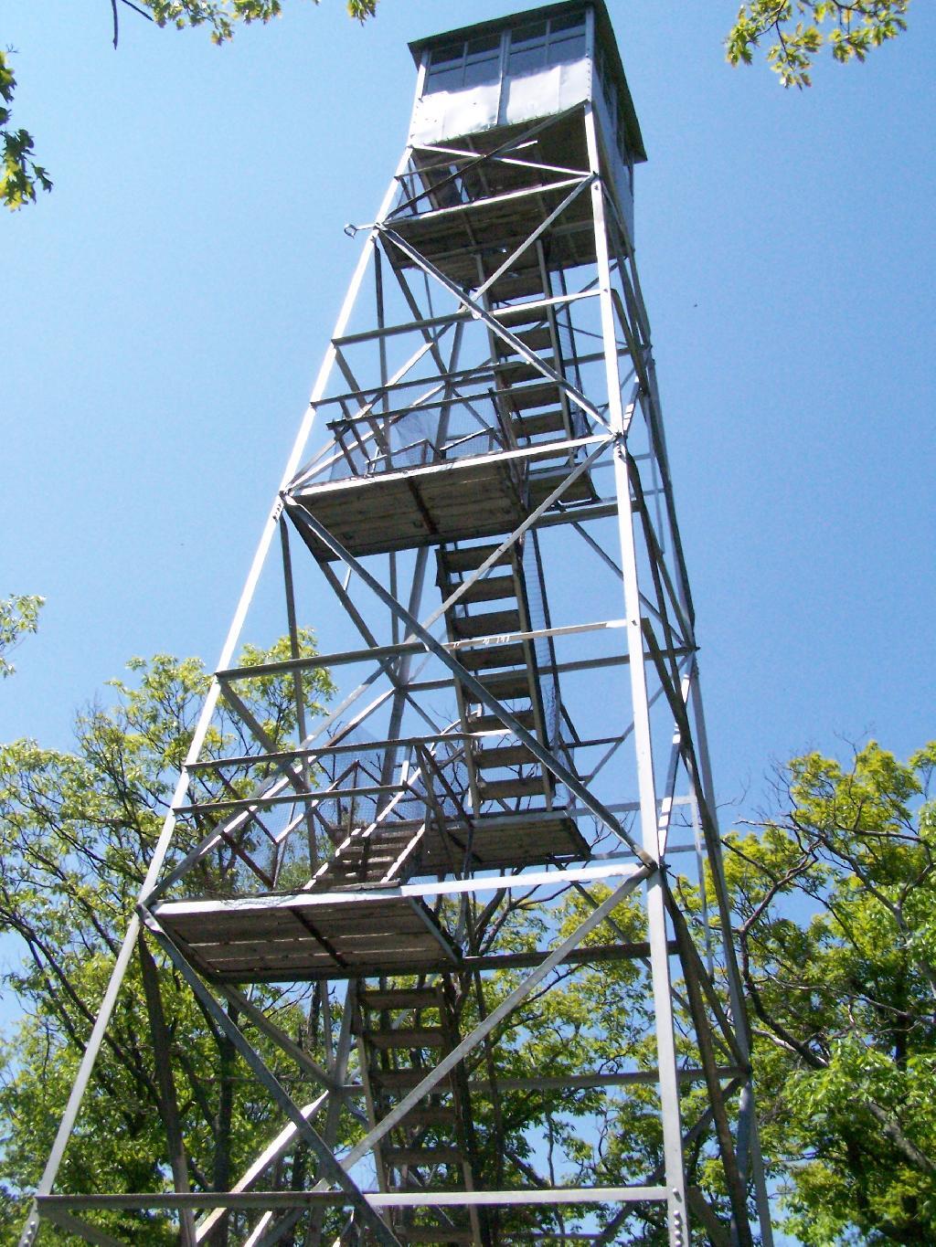
Last Saturday I went hiking up Mount Tremper in the Catskills. This is one of five remaining fire towers in the Catskills, and I was excited to do my fifth tower in the Catskills.

Woods Road

It was a nice day out, warm, but not to warm. It also was quite clear which I discovered when I reached the top of the mountain. The trail is 2.5 miles to the top, but it’s elevation increases are moderate, following an old woods road to the tower the entire way. Parts of the old woods road are eroded away, but it’s still an easy hike, as long as your patient.

As I often go hiking along, one technique I use on such a trail like this is to bring my Mp3 player and listen to podcasts as I hike on up. I knew it would be about a two hour hike up, so I put two hour long programs on the player, and the time passed quickly.

About 2/3rds the way up the mountain there is a lean to, the Baldwin Shelter once can stay in. There also is another lean-to adopt the mountain.

Baldwin Shelter

Once you reach the top, there are no views except a few between the trees. The only views you can see from this mountain are from the fire tower, which are quite spectaular, however you must go all the way up into the tower’s cabin before your above the tree level.

Mount Tremper Firetower

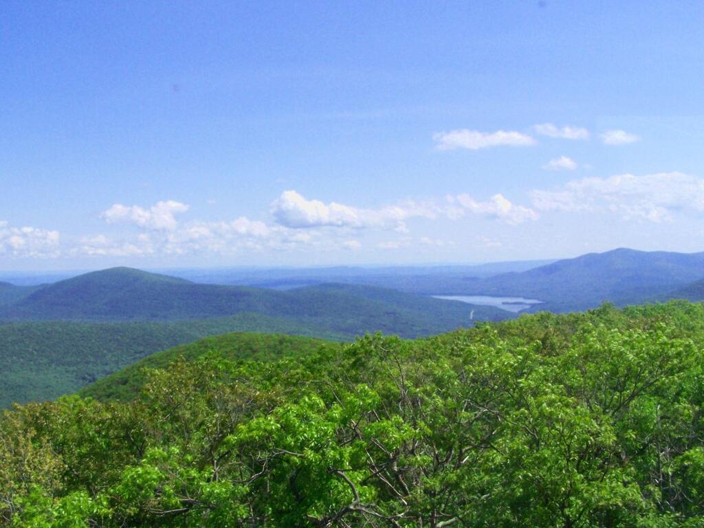
The views from the tower are amazing. This is out toward Hurley and the Ashoken Reservior.

Hurley

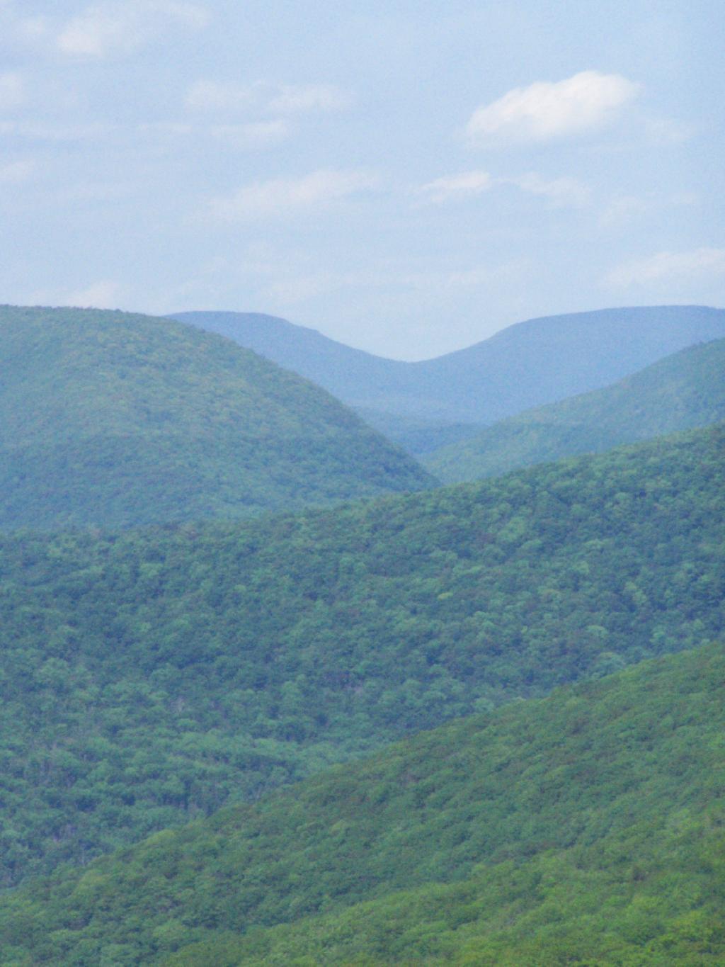
Here’s Devils Clove. Some reflections are noticeable from trying to shoot through the windows of the Fire Tower cabin.

Devil's Clove

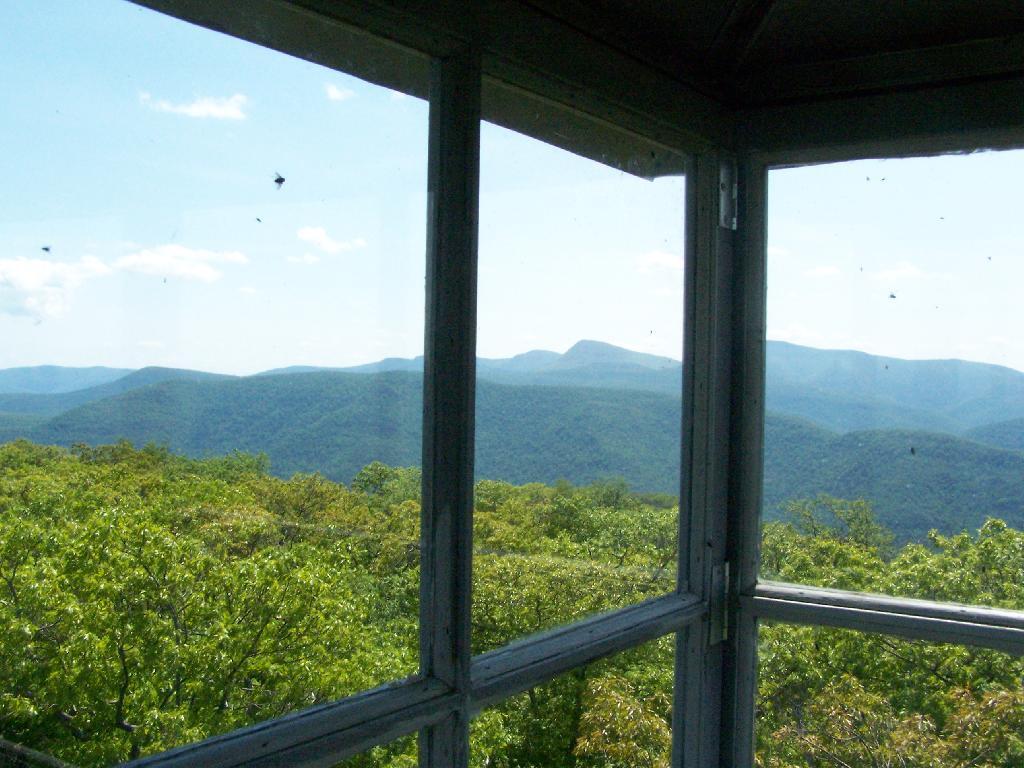
Slide Mountain through the windows of the tower. It was hot up there, and the bugs and glass made it hard to get pictures. I tried to open a window in the tower, but the latch wouldn’t budge.

Slide Mountain

Descending the tower.

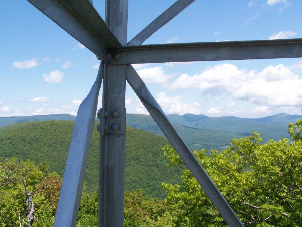
Tower Steel

I walked a ways onto the blue trail beyond the tower, searching for other views, however there are no views except on the tower on Mount Tremeper. A nice hike for sure, but I would have preferred some views where I could sit down, have my lunch, and enjoy the edge of the mountain.


View Hiking in 2009 in a larger map