hiking

Five Mile Mountain

I got up at 5 AM on Saturday and headed off to the Tongue Mountain Range. I arrived there around 8 AM, because I made several stops on the way up, and didn’t really get in my truck until 6:30 after getting ready and having breakfast.

I wanted to hike up Fifth Peak and French Mountain, famous for their views of Lake George, but I ended up hiking up Five Mile Mountain, as I parked at the wrong area based on my faulty memory of where the trail head was, based on a brief drive by some three years ago back in college.
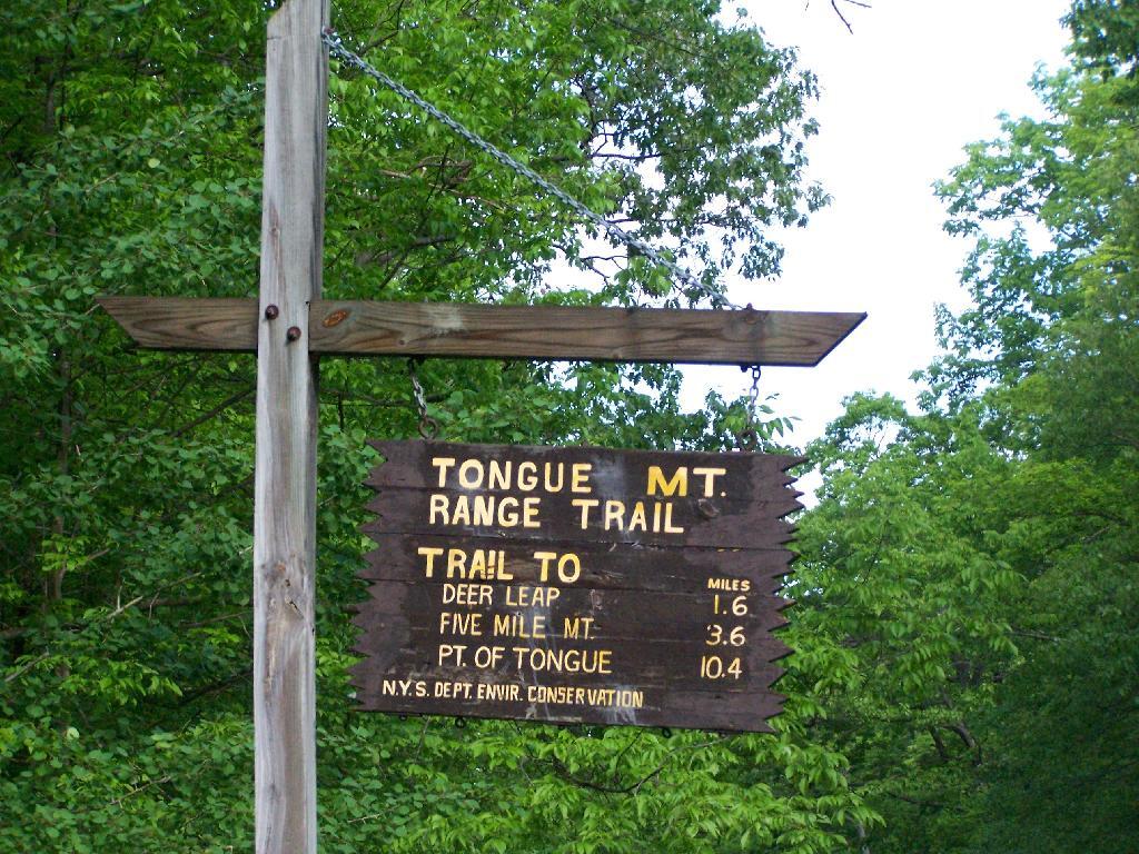
Trailhead

The markers on the trail where old, but it was well marked with these 1967-era trail markers and carins.
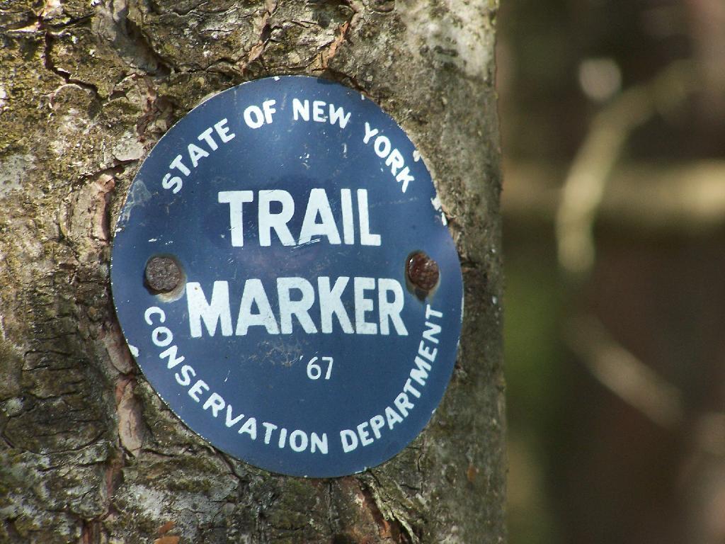
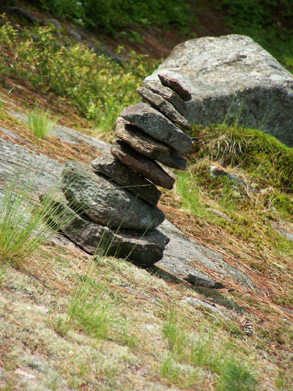
1967 Trail Marker

Carin

Lake George can be seen off one view from Brown Mountain. It was raining as I hiked up there.
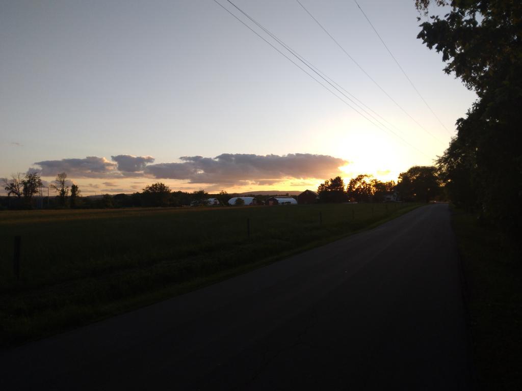
Evening on Meads Road

I was fortunate enough to make it up to the Five Mile Leanto before the sky just opened up and started to pour.
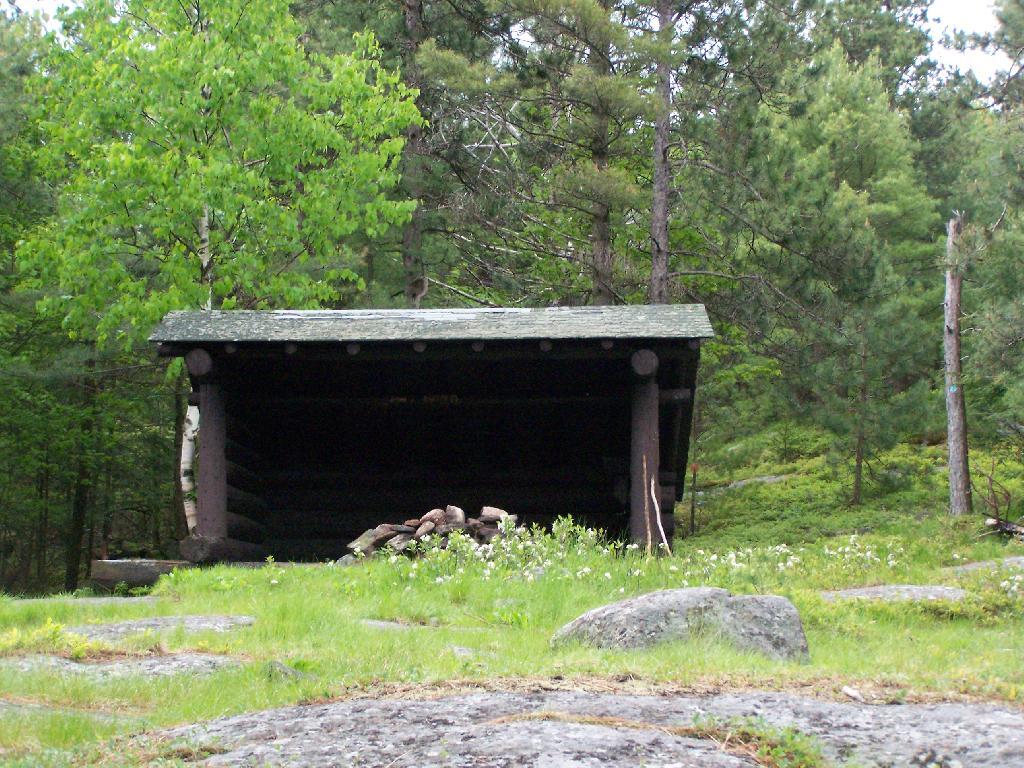
Five Mile Mountain Leanto

Sitting in the lean to watching as the rain rapidly approached me. This lean-to was not well thought out as it faces due west. But it must have good views of the sunset. Maybe some night I should stay up here.
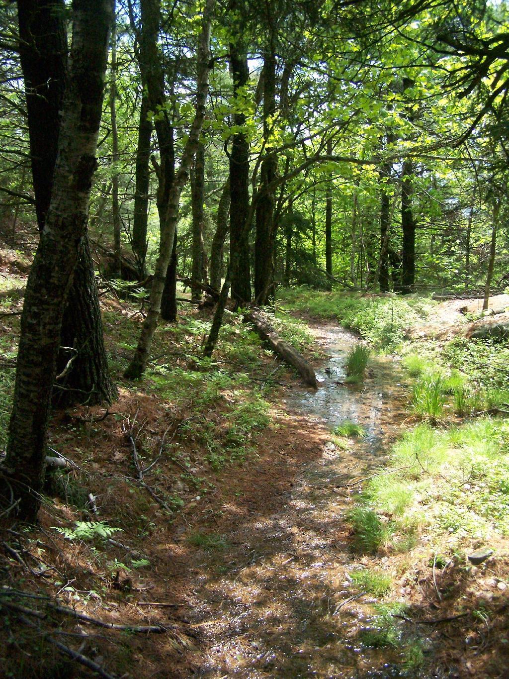
Rain Soaked Trail

Fortunately the rain passed relatively quickly.
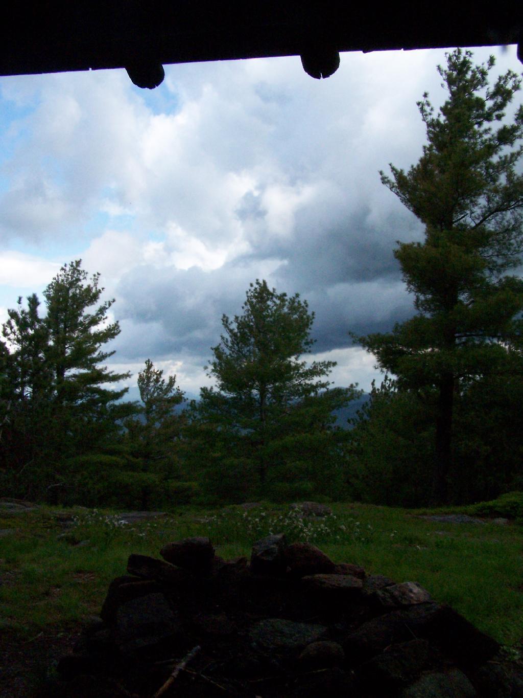
Waiting Out the Rain

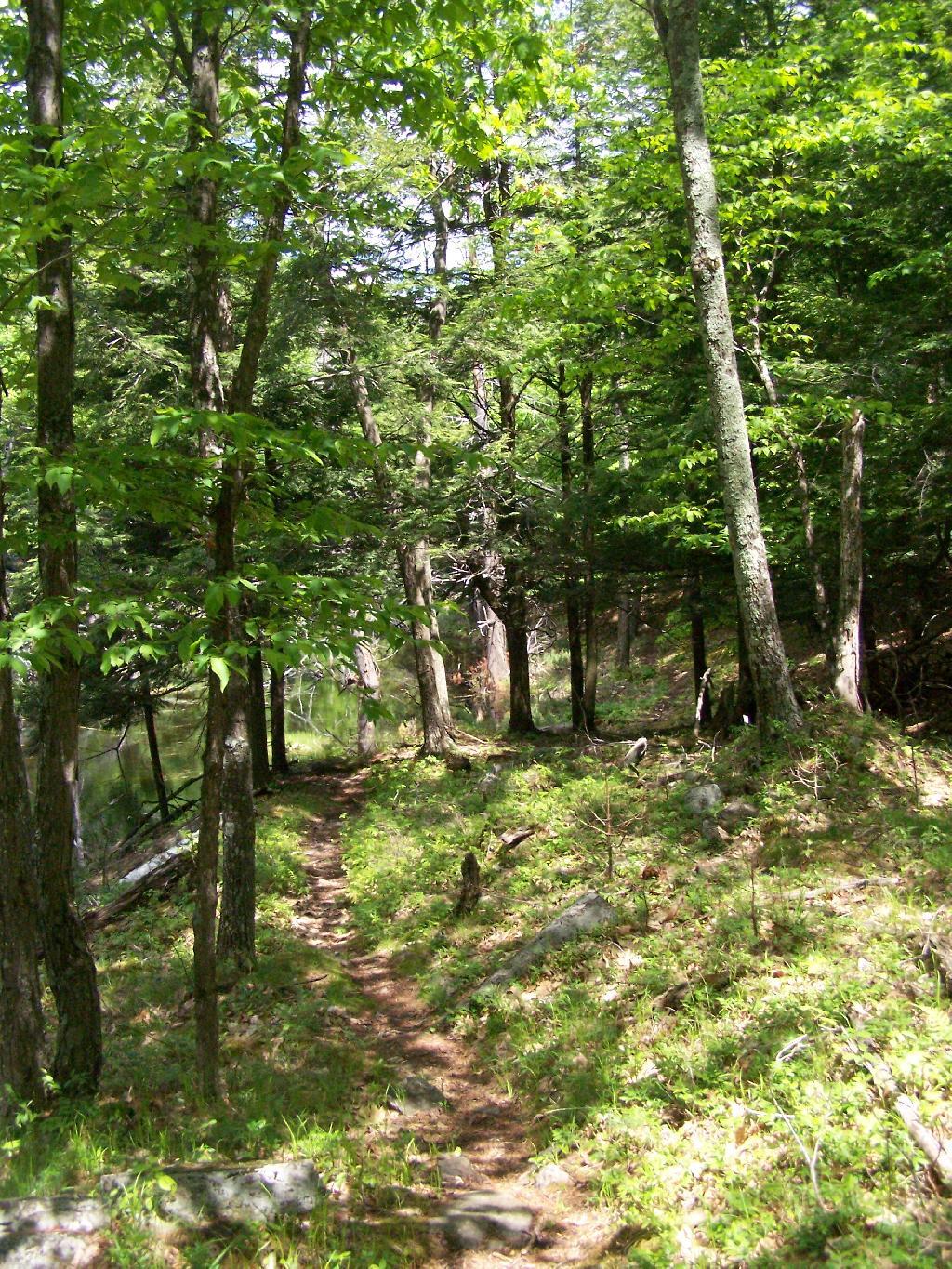
But it left the trail fairly swampy in parts.

Rain Soaked Trail

The trail from Five Mile Mountain has some limited views to the east over Lake George. It was still cloudy when reached this point around 10 AM but was starting to clear out.
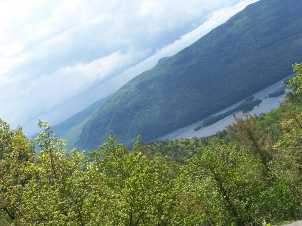
Raining Over Lake

You descend down Five Mile Mountain come to the intersection of the trail to Fifth Peak and French Mountain.
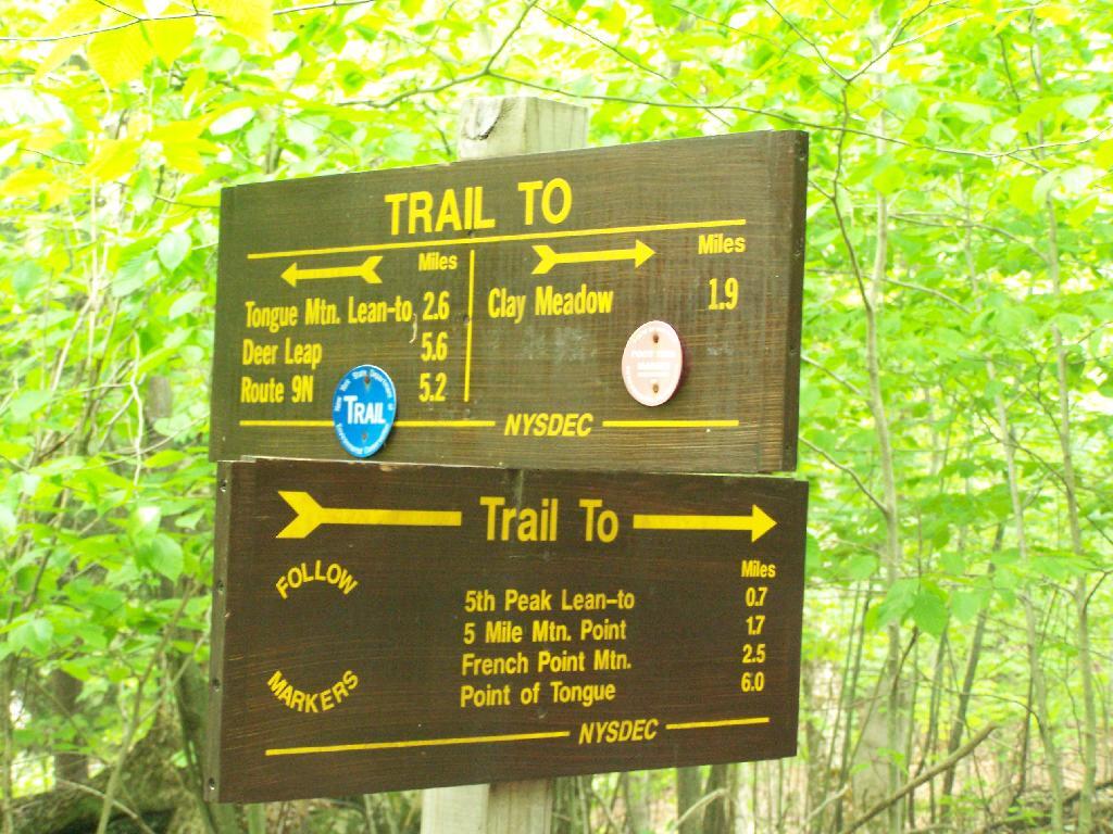
Trail Choices

After you get on the trail to descend down to Five Mile Point, you go past a long and skinny portion of creek dammed up by beavers.
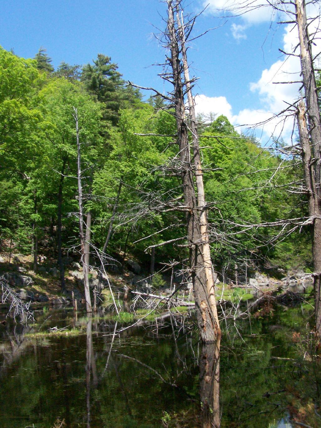
Beaver Swamp

Descended down to Five Mile Point and had lunch along Lake George. It’s a relatively steep and long descend down to Five Mile Point, and it continues to be steep until you get down to the shore. Not a perfect place for a picnic, but still pretty.

Percent Change in Total Employed, April 2022 vs April 2012

Here’s a boater passing by an island on the other side of Lake George.
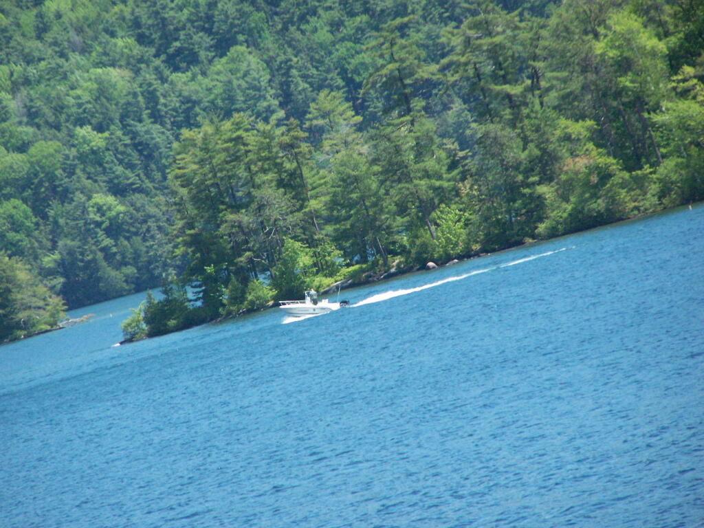
Boating

The trail back up from Five Mile Point was an old-wagon road, probably abandoned for 100 years now. It’s a steep climb back up it.
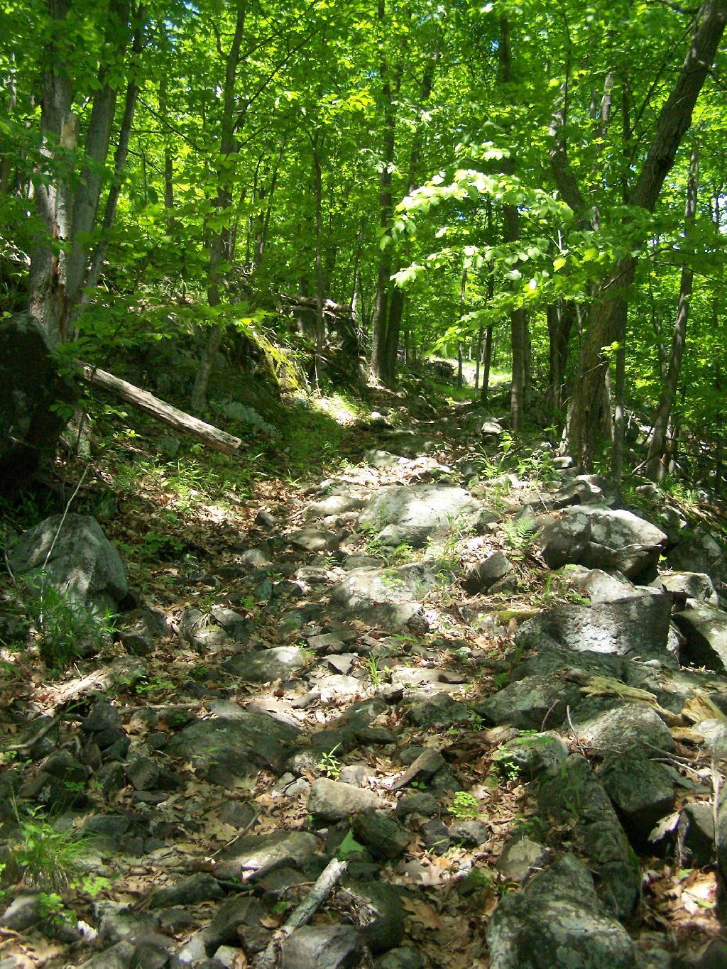
Trail Back Up Mountain

The views back atop of Five Mile Mountain where amazing, once it cleared out with just a few clouds remaining.

Bernie Sanders Plan A

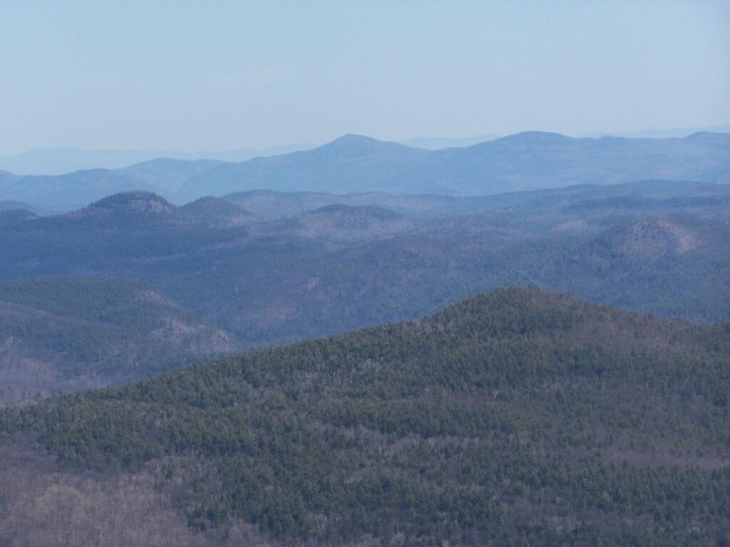
It cleared out by the time I was back up on Five Mile Mountain. There is Lake George, Bear Mountain on the other side, and the Green Mountains and Vermont in the distance.
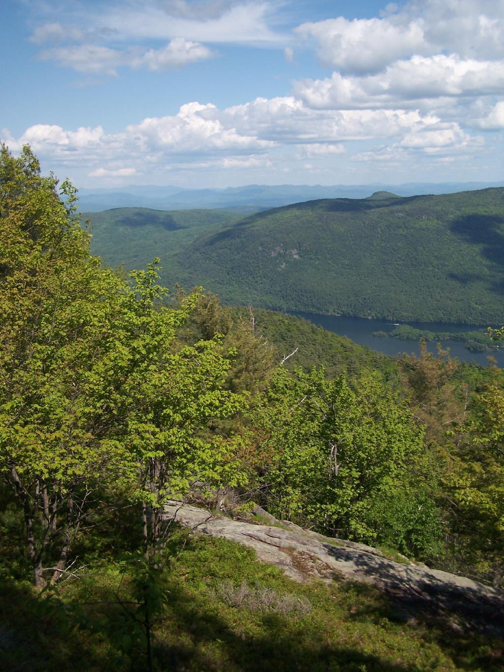
Bear and Beyond

Hiking along the trail…

Hiking

The view from the lean-to when the weather is a bit nicer.
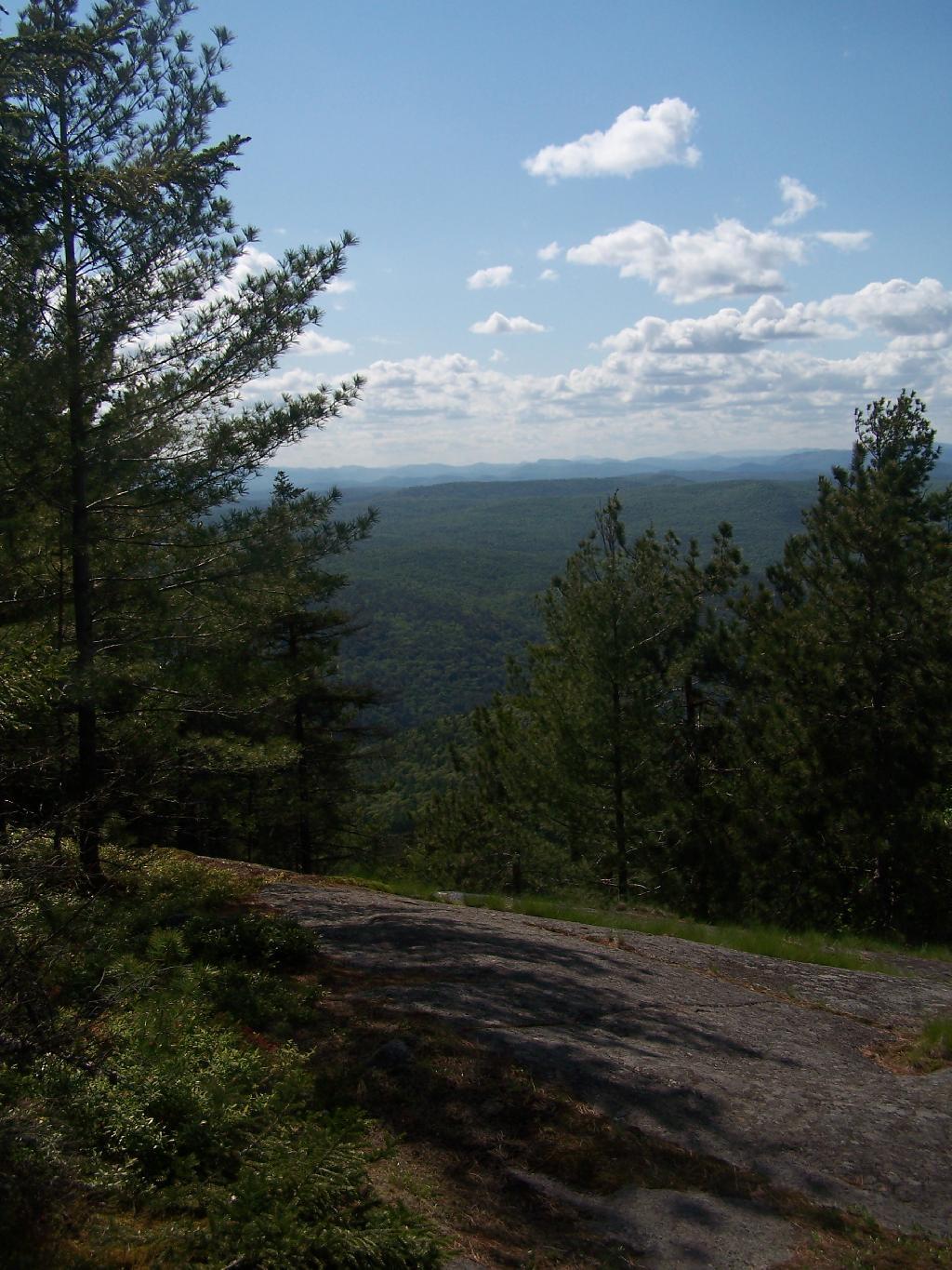
West from Lean To

Near where the trail splits off to go over to Deer Point (which I did not visit), there was a serious forest fire in 1985. It was one hell of a fire, as witnessed from the damage from almost 25 years ago.
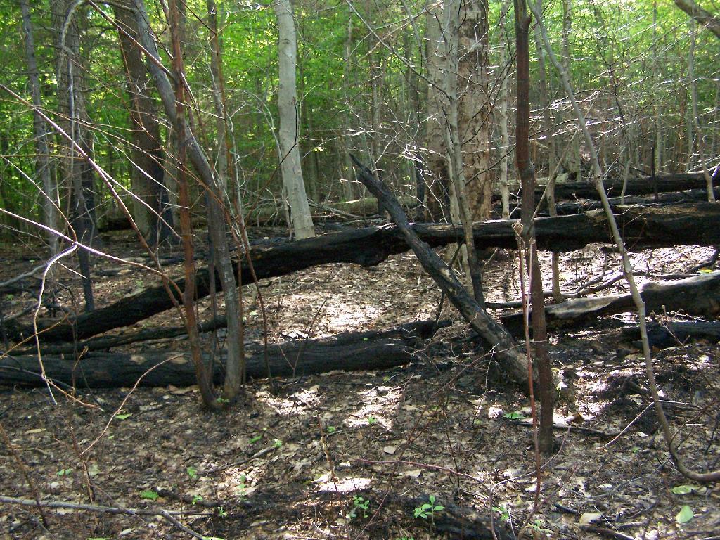
One Hell of a Fire

I arrived back at my truck around 5:30 PM, a bit tired and sore. But the views where great!


View Andy Arthur – Hikes 2009 in a larger map
Map: Severence Hill Trail
Map: Gilman Lake

Bennett Hill in Spring

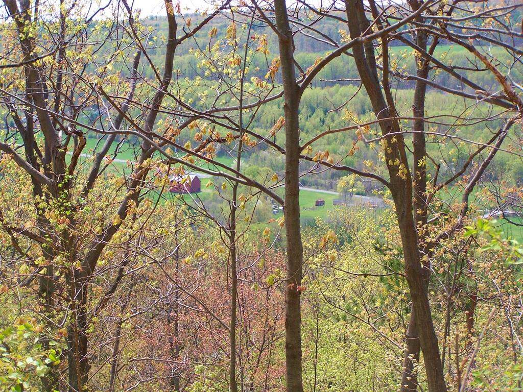
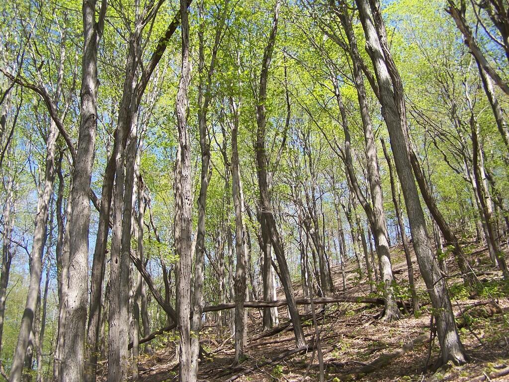
On Saturday I went for a Day Hike up Bennett Hill in Clarksville. It was a beautiful day out, and signs of spring where all over. We first did some trail work, then hiked up Bennett Hill via. the Green Entrance Trail to Yellow Hilltop Loop to the Red descending trail.

South-West from Bennett Hill

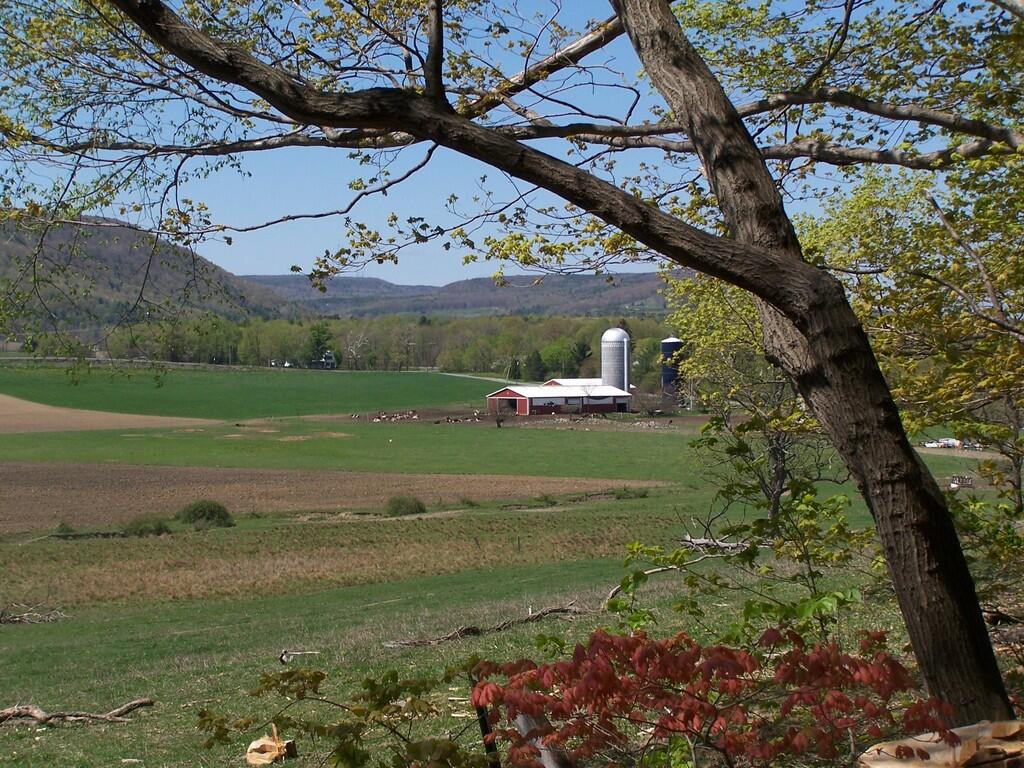
It was nice seeing all of the green out this spring. It was not super warm out, but just right temperature wise. It was a short hike, but an enjoyable one for sure. All of the scouts enjoyed it, despite having just moderate hiking experience.

Farm Along Bennett Hill

Here is map of Bennett Hill along with description of the hike:

See the Bennett Hill Photos from this past hike plus an earlier one this spring snowshoeing.


View Andy Arthur – Hikes 2009 in a larger map

Light Filters

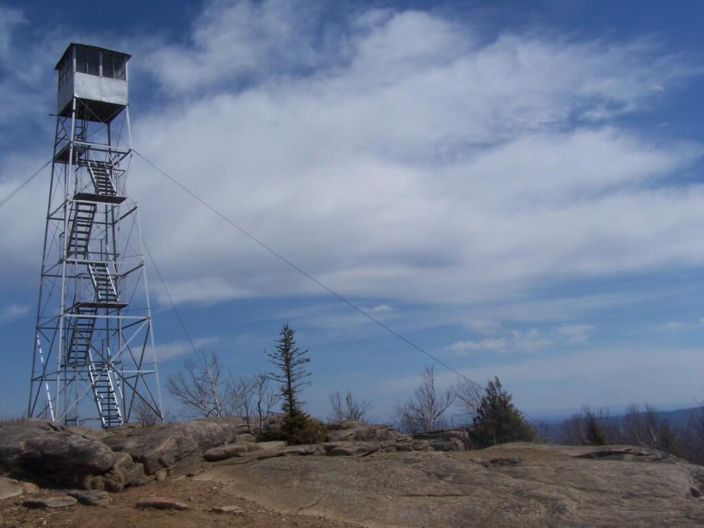
Beebe Hill Firetower

On Sunday I went hiking out in Columbia County. It was a warm but quite nice morning out. First I parked up by Barrett Pond and hiked up to Beebe Hill. The trail is about a mile long, and then you come up to the Fire Tower after a moderate 300 foot elevation climb.

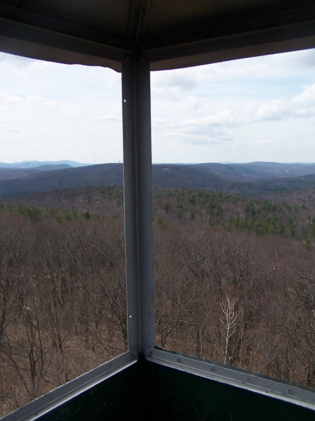
It was a nice clearing spring day. Excellent views to the west, including Canaan and Chatam from the Fire Tower. Some of the hamlets where blocked by the hills, and the fact that some where not much lower then Beebe Hill. You never are particularly high on the tower, but it’s such a quick walk from the parking lot. The fire tower only tops about just a little ways above the tree line, indeed that’s why they allow you to enter the cabin of fire tower.

Nearby the fire tower there is a lean-to. This would be great to stay at one summer night, probably not on a weekend whne it might be croweded/you have to share it. I can imagine photographing it at sunset/sunrise, and looking out at the stars over the Chatam into the darkness at night. It would be so awesome.

Windows

Hadley Mountain Firetower

This is my first hike of the year in the Adirondacks. I normally don’t go to the Adirondacks due to the length of the drive from Albany, however I wanted a break from the Catskills. Hadley Mountain has a fire tower on it, and it was a beautiful day out for the hike.

Gully

I arrived at the trail head at around 9:30 after a two hour drive from Albany, via. the Bachelorville Bridge and several Saratoga County Roads. It would have been faster to take Route 9N and the Northway, however I wanted to see some of the nearby country.

Fire Tower Secured By Guidewires

It was a relatively short hike up the mountain, with a distance of a mile and a half, and an elevation increase of 1,500 feet. Most of the trail was eroded sloping rock face. Admittedly, it was a lot more difficult on the ankles coming down then going up.

Descending the Hill

Once you arrive up top there is the Fire Tower, some open face worn down to rocks, from use, and a ranger’s cabin. The views are spectacularsome of the best from any Fire Tower around. It would be awesome to visit in the summer when everything is all green and purty.

Pointed Mountains

Spent about an two hour up there, snapping photos and watching the light change. I got a pretty bad sun burn, but it was so nice and sunny out there. It was fun. I returned back to the truck around 3:30 PM.

Trees and Peaks

See more photos from this hike in the Hadley Mountain Photos Series.

Hikers – Trail Head
Blue Line – Hadley Mountain Trail
Flag – Hadley Mountain Fire Tower


View Hadley Mountain Hike in a larger map

Enjoying the Mountains

Plateau Mountain

Plateau Mountain, directly east of Hunter Mountain is one of the Catskill 3500 ft Mountains, but rarely gets much attention. It has a good trail up it, a bit a fairly steep one, that has wonderful southerly views, out towards Edgewood and many Catskill Peaks. It climbs about 1,900 feet in 1.8 miles — a good 20% grade, including several relatively flat places.

Once you reach the top, there is one section where you have to climb up hands and knees up two 4′ steps. Beyond that the trail is essentially flat for the next two miles. There some decent views over Tannersville and of the TriMount region of the Catskills. From there for the next mile and a half there are no views, as the trail wanders around properly lines until it reaches the easterly descent into Mink Hollow.

Not a lot to see once on top of the mountain, long and sprawling with dense forests. Regardless the various views are nice off this mountain, and it’s frequently overlooked as a mountain to hike in the Catskills.

It was a nice hike with some truly beautiful weather. The only mistake I made is I did not bring enough water. I was through 2 liters of water before I knew it. Still I conserved water and made it down safely by about 2 PM (I started up the mountain at 7:45 AM).

Be sure to see the Central Catskills Photos, where many are from Plateau Mountain.

Hikers – Devils Tombstone Parking Area
Green Line – Plateau Mountain Trail
Balloons – Various views from Plateau Mountain


View Plateau Mountain Trail in a larger map