exploring

Mallet Pond State Forest, Aug 29

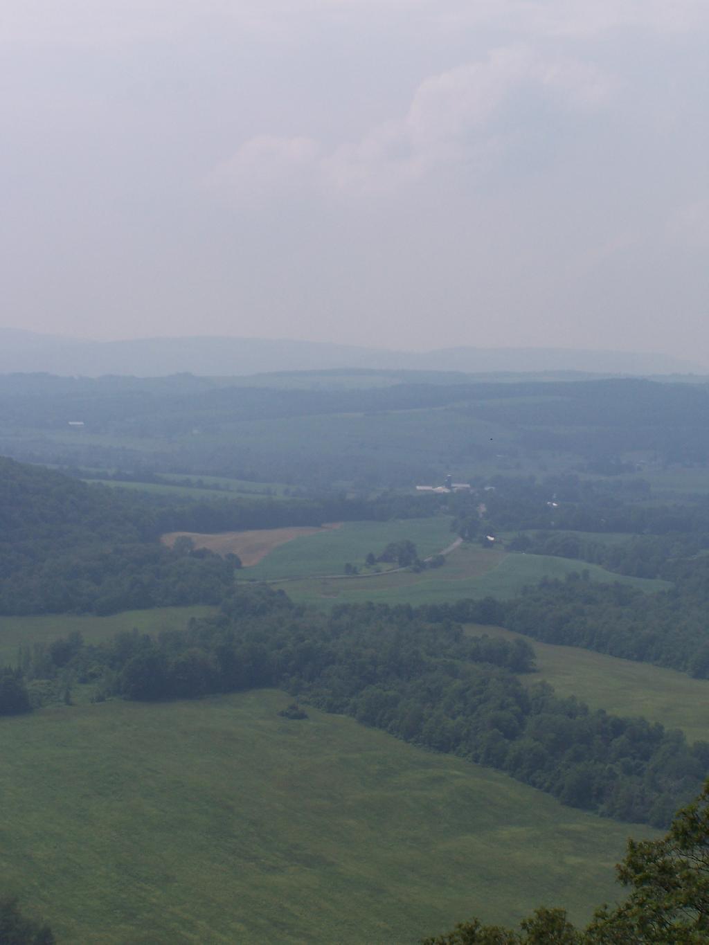
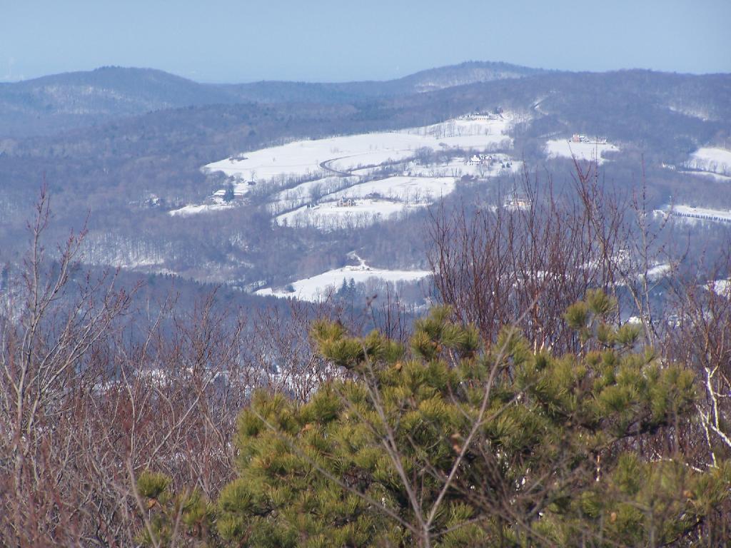
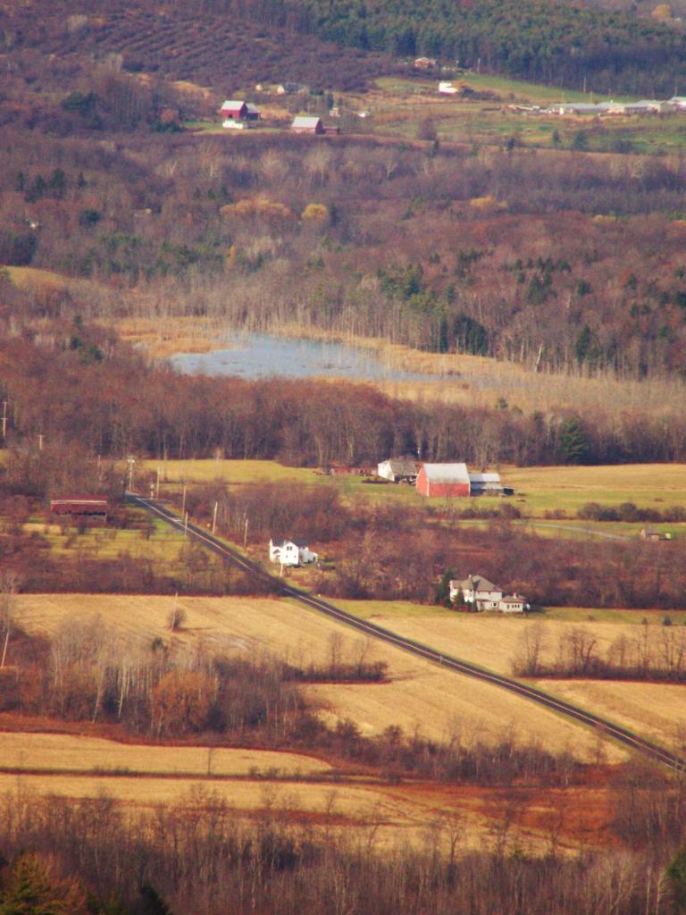
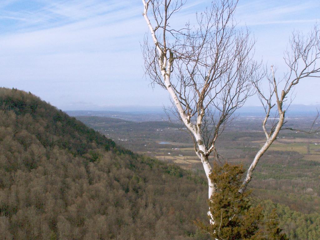
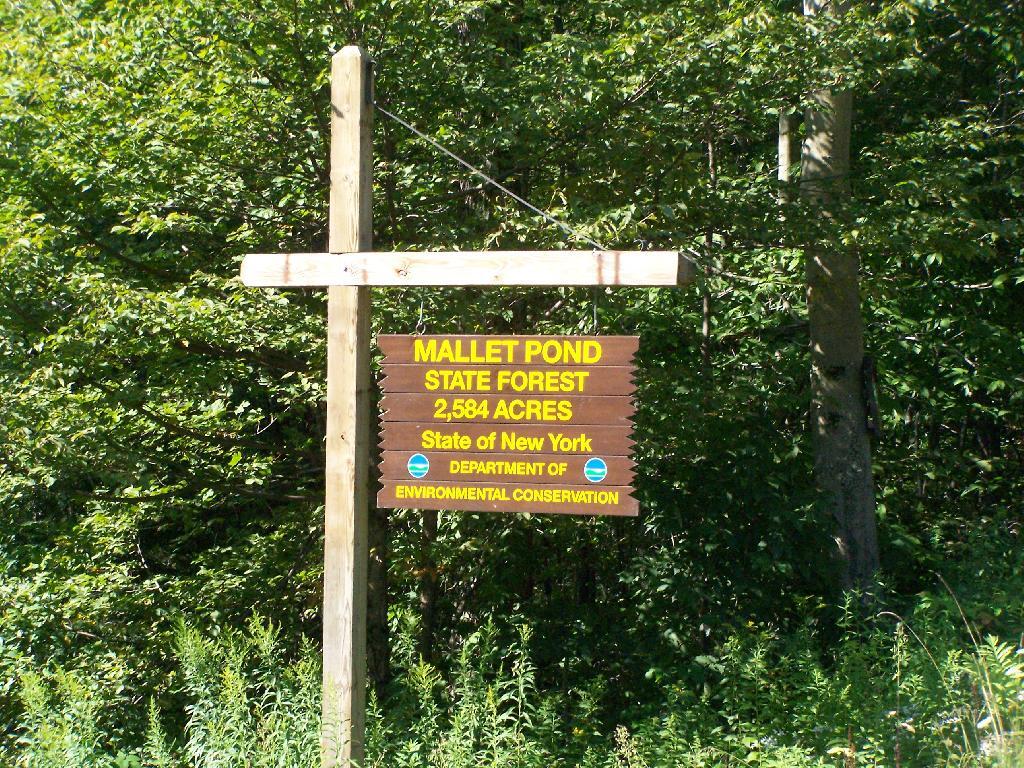
Mallet Pond State Forest is a smaller state forest (2,584 acres) across the valley from the Burnt-Rossman Hills. While smaller, it is still rugged and remote, with rough dirt roads, two ponds, camping sites, and public lands to explore. Many of the roads around it are poorly marked and heavily posted, however if you follow the below map, and drive up to Summit on NY 10, and take Sawyer Hollow Road to Rossman Fly Road, it’s not as bad to locate.

 Brown Road

Mallet Pond State Forest Sign

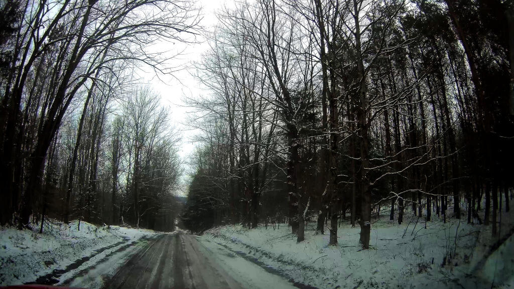
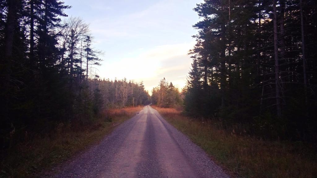
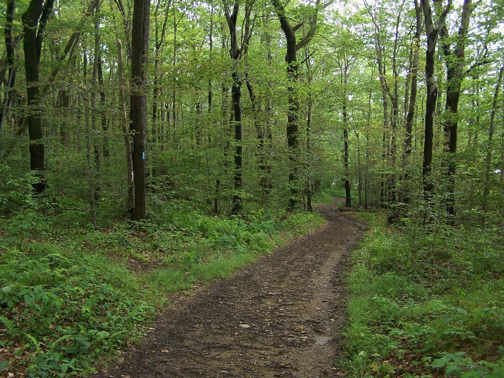
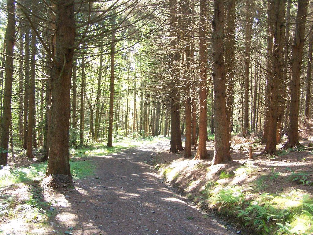
Rossman Fly Road. This is from the intersection, as it head down into the valley where Rossman Pond and Mallet Pond are located.

Rossman Fly Road

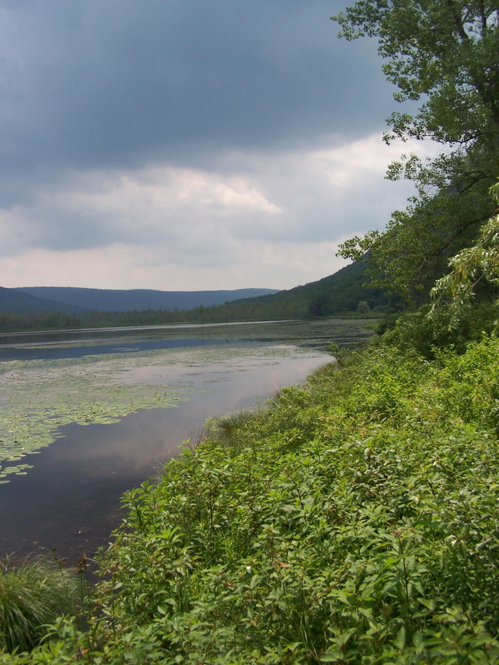
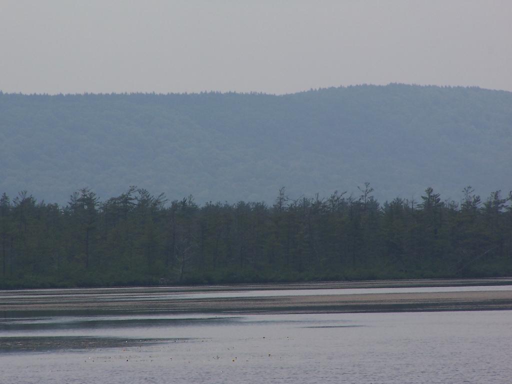
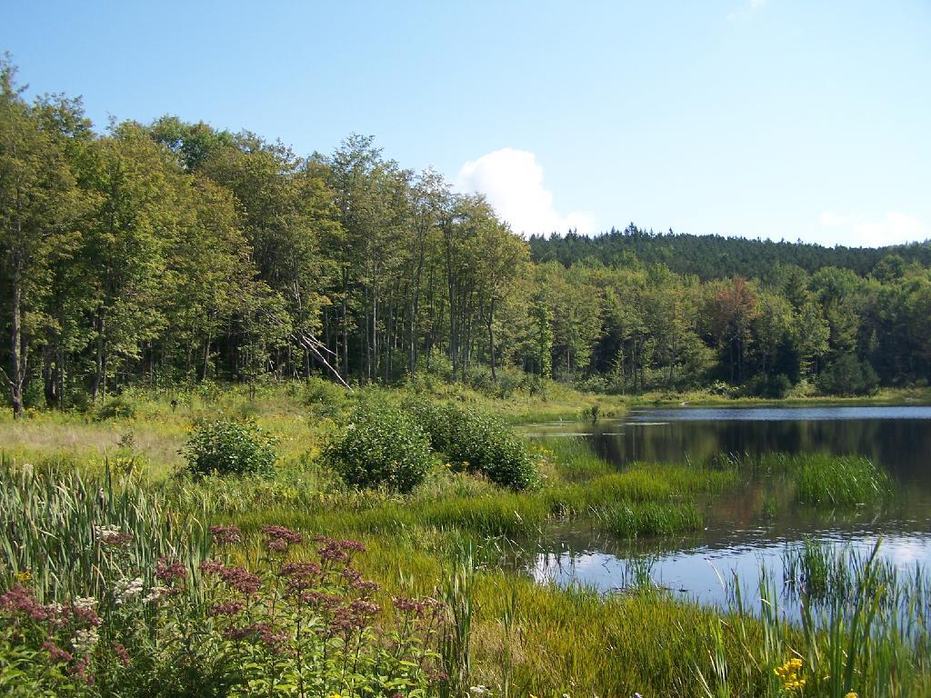
Rossman Pond. There are a series of hunting campings and private houses located along the other shore. The state only owns about 1000 feet of frontage along the lake, basically enough for a campsite and a parking area.

Rossman Pond

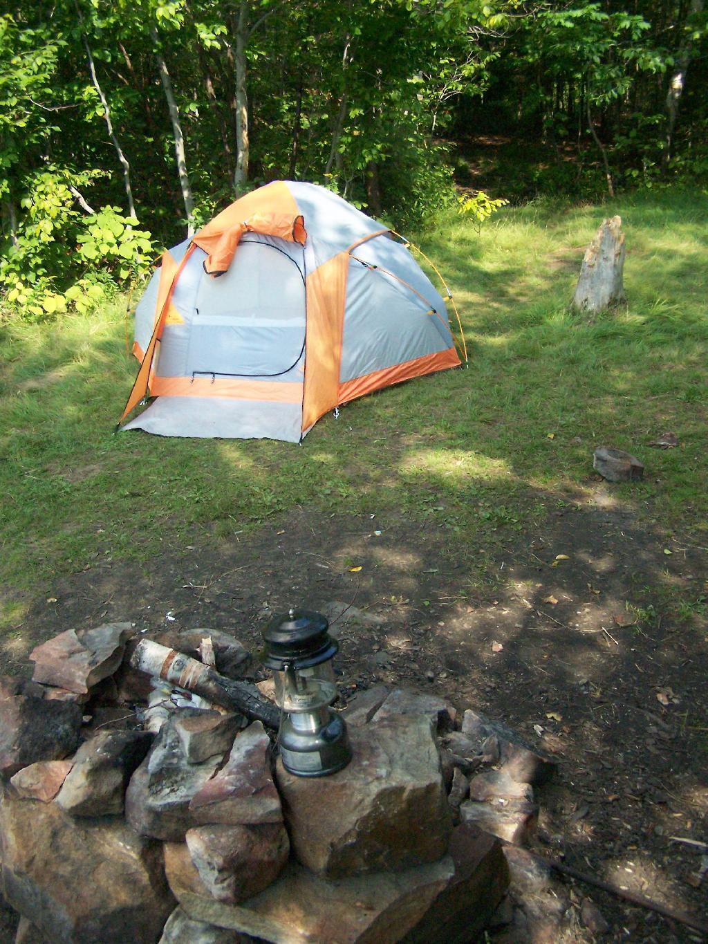
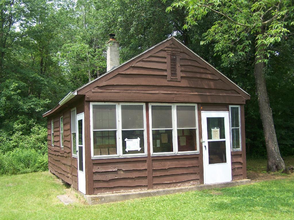
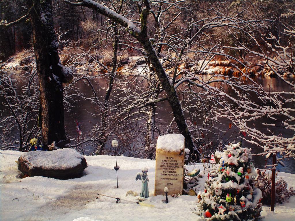
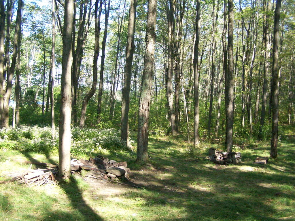
Campsite at Rossman Pond. This is one of the many informal campsites in the area. None of them have designated markers, and don’t comply with state set backs, but as witnessed by the wear and tear on the grass, and mention in the Unit Management Plan, they are well used and recognized as such.

Campsite at Rossman Pond

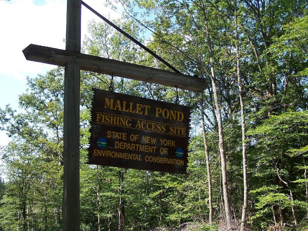
I drove down to Mallet Pond Parking Area. Unlike Rossman Pond, Mallet Pond actually has a sign showing where it is. There are no other signs for Mallet Pond from here on down, but the road is easy to follow to the pond.

Mallet Pond Sign

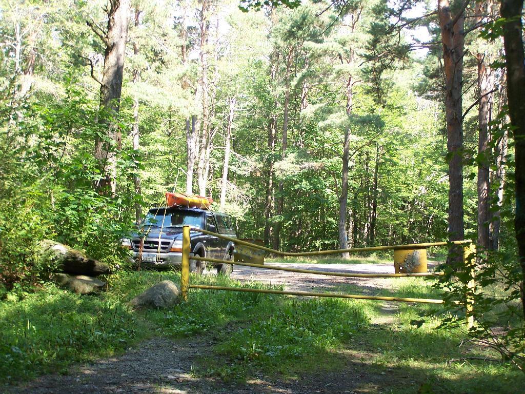
Gate at Mallet Pond. There is a gate 1/2 mile from Mallet Pond. Normally I don’t like gates and keeping the public from driving down to their lands, but Mallet Pond is kind of nice being so remote for camping, fishing, or wild life observation. Rossman Pond, which you can drive right up to, has no such gate.

Parking Area

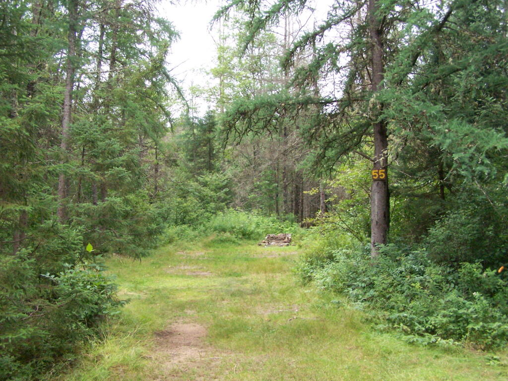
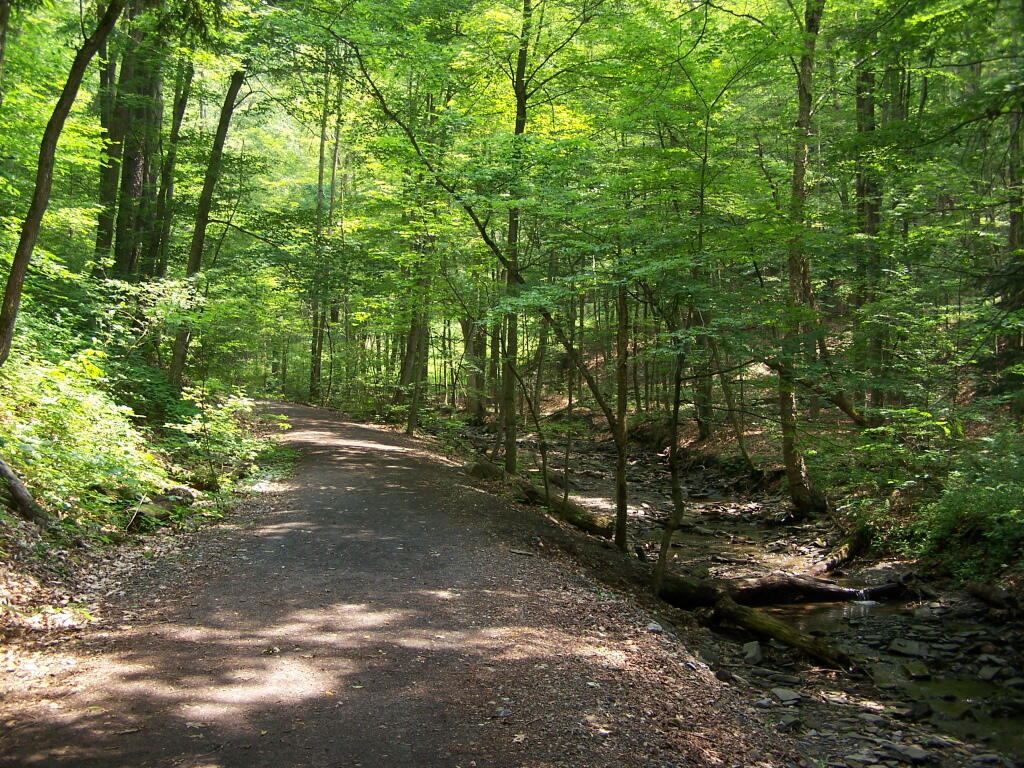
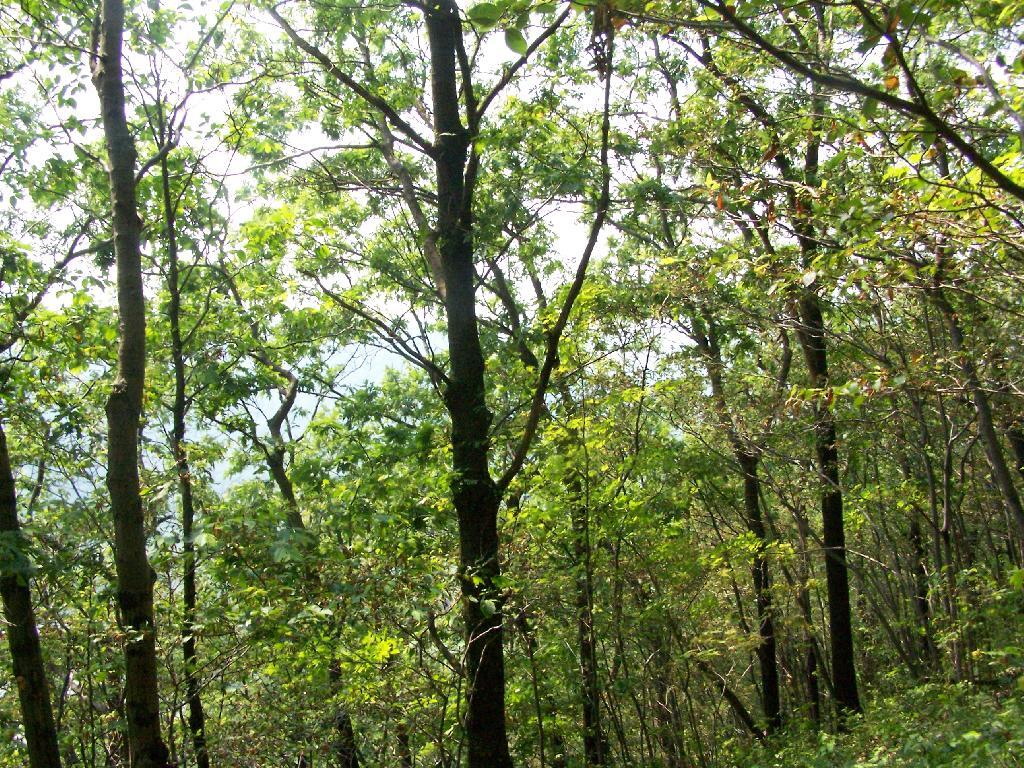
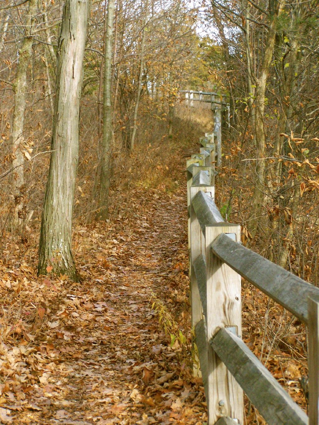
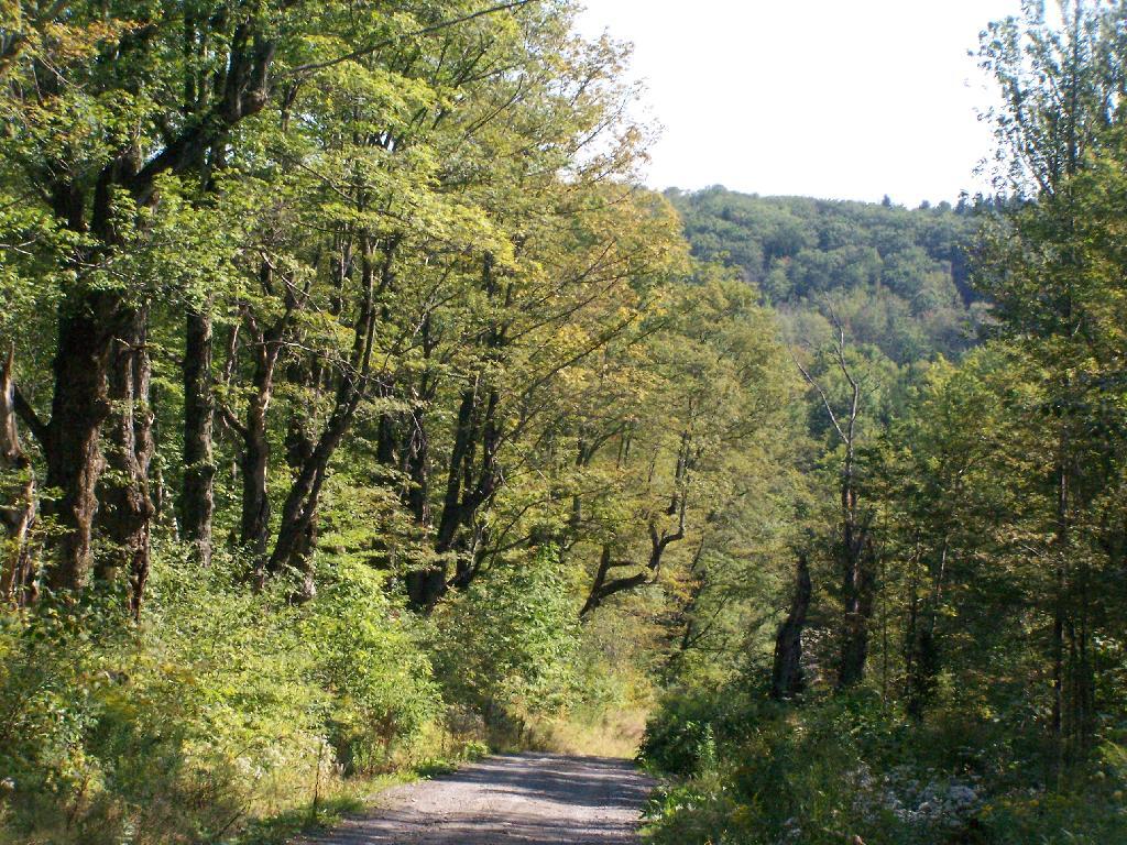
Path Down to Mallet Pond. It’s handicap accessible and if their wasn’t the gate, you could drive all the way down to the pond.

Path Down to Mallet Pond

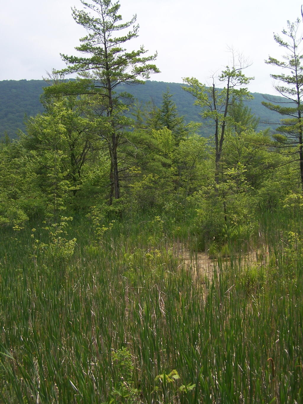
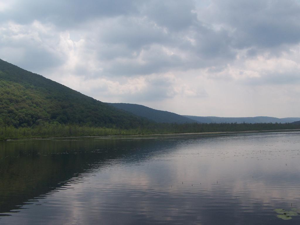
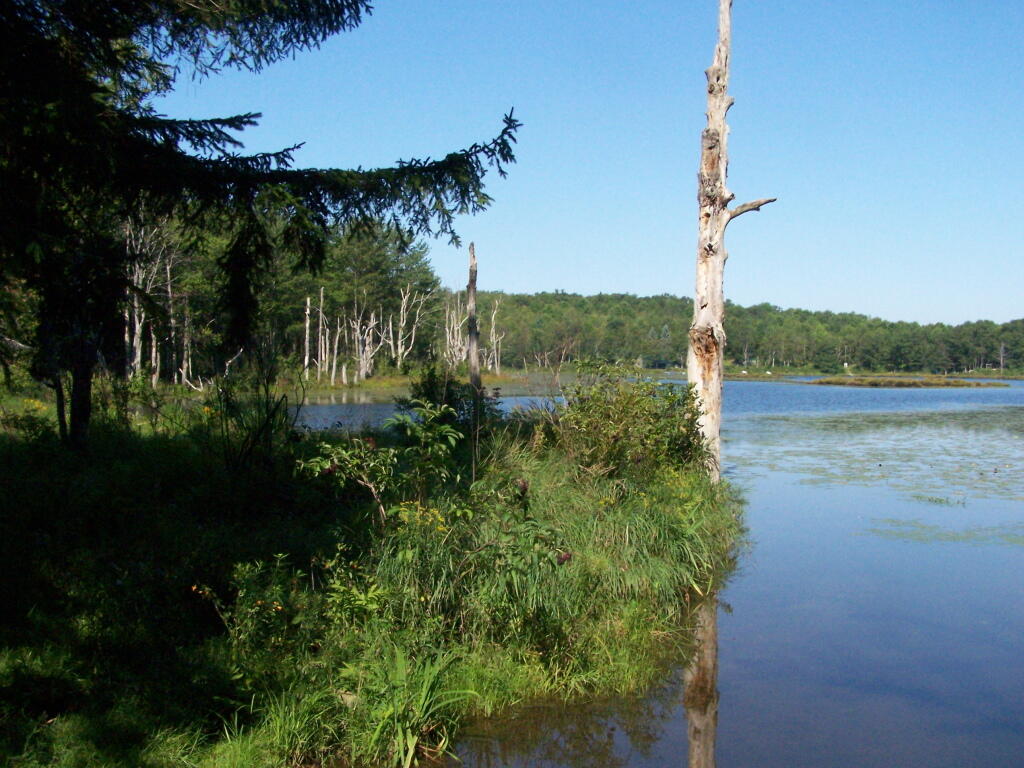
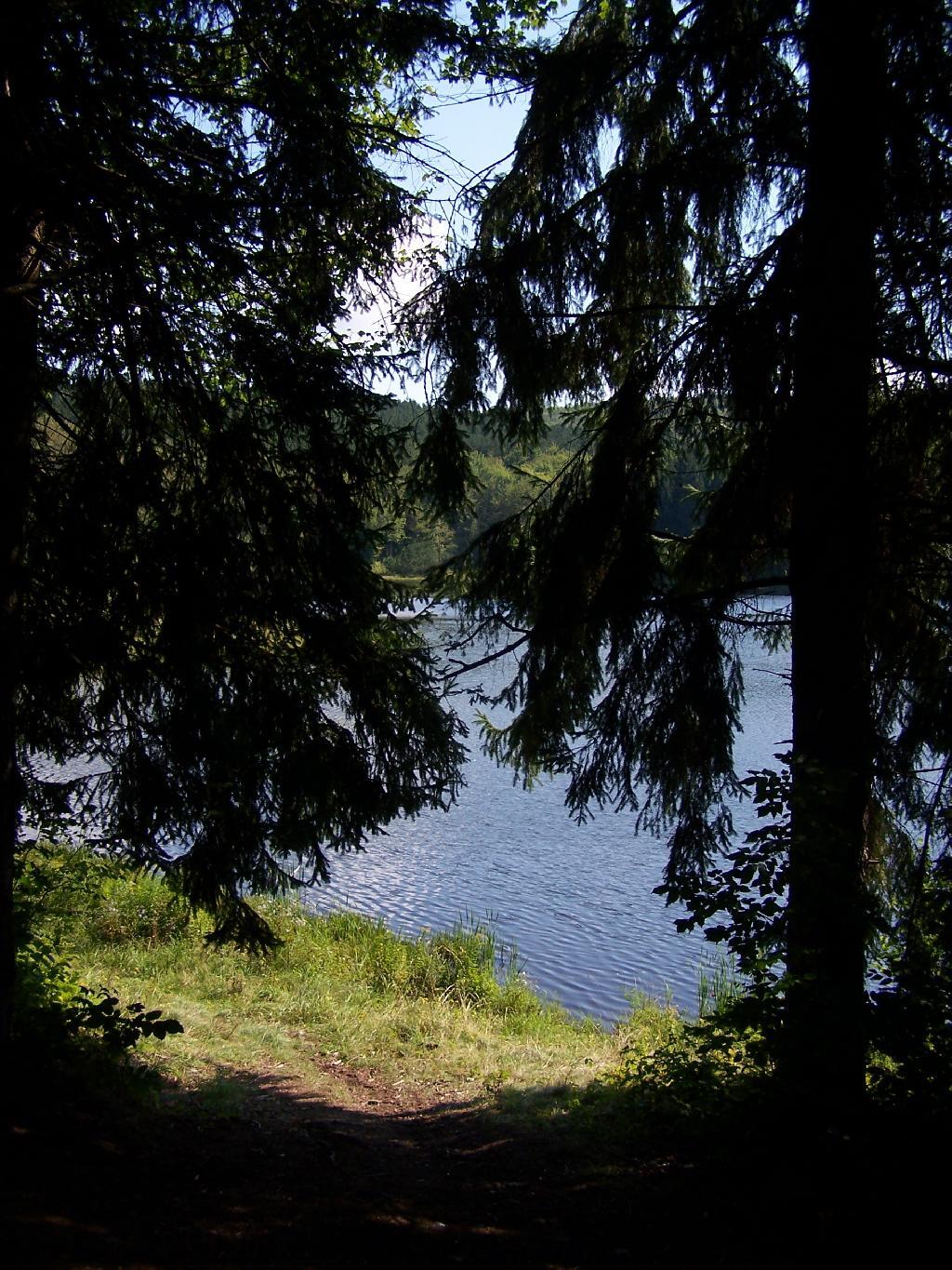
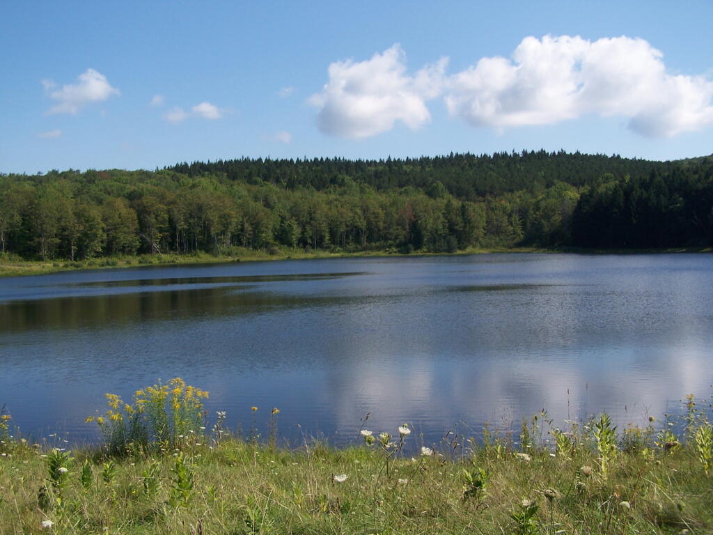
Mallet Pond. It certainly is a beautiful little pristine pond, a ways off the beaten track.

Mallet Pond

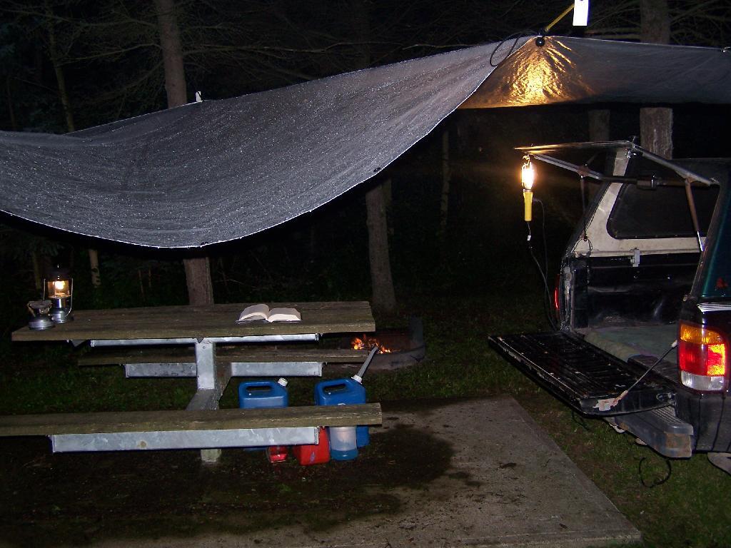
Campsite. For being the “party” lake for SUNY Cobelskill students, it was remarkably clean and well upkept. Maybe those farm kids actually take care of the land. Actually, most of the lands around here are well upkept, in part thanks to Ranger Tom Edmons too.

Campsite at Rossman Pond

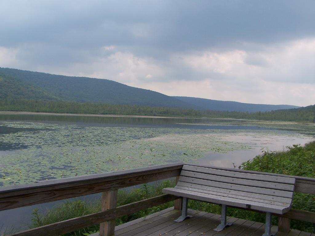
Pond from Campsite. It certainly was a pretty little campsite up on the bank.

Pond from Campsite

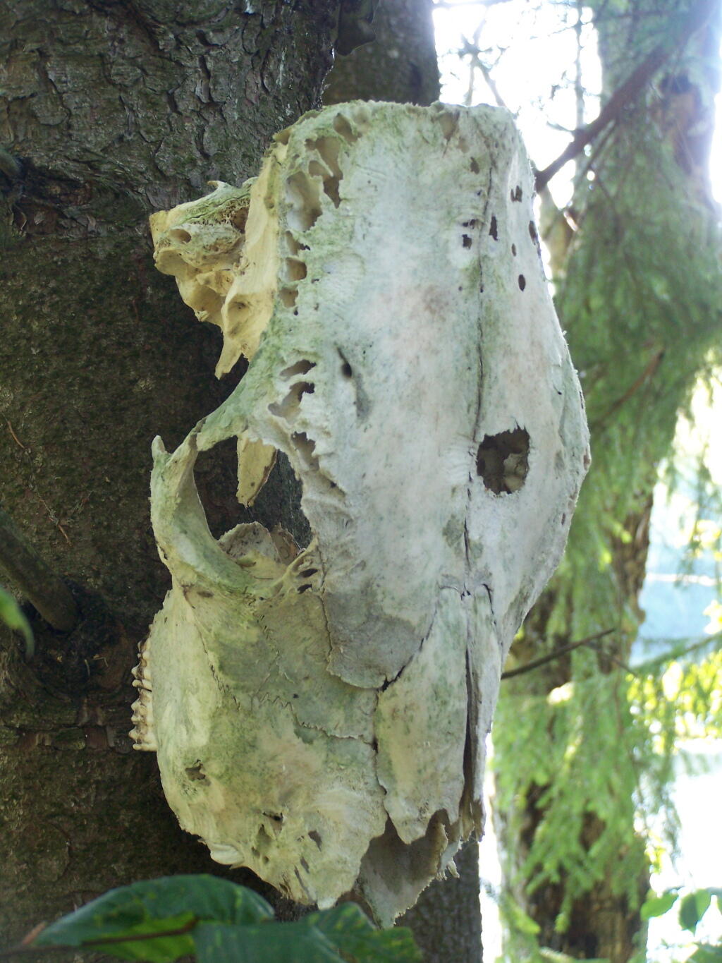
Cattle Skull. This cattle skull was hung up at the campsite on a tree. Cool! It appears to be from a dehorned cow, and the lower jaw is missing. I’m guessing it was brought on up by a SUNY Cobelskill Ag Student.

Cattle Skull

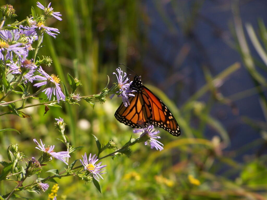
Butterfly. Pollinating a wildflower along Mallet Pond.

 Butterfly

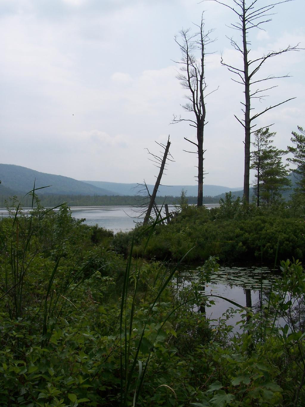
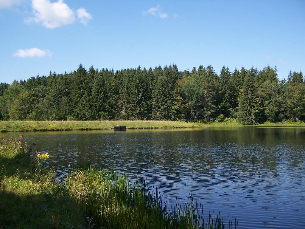
Mallet Pond. Standing up on the embankment of the dam.

Mallet Pond

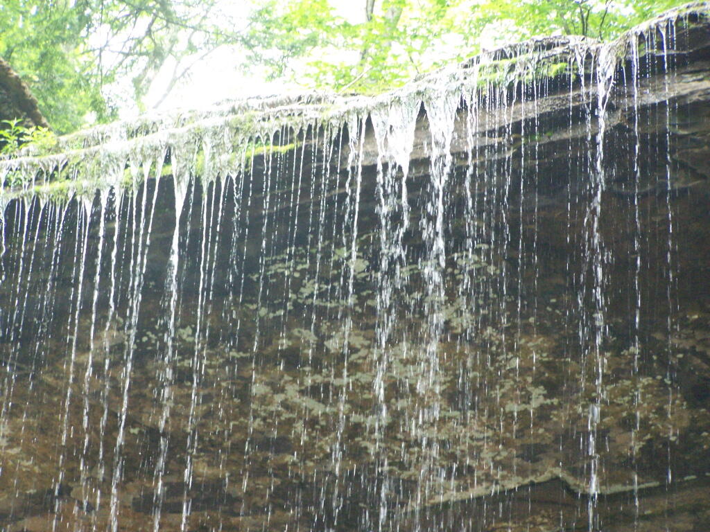
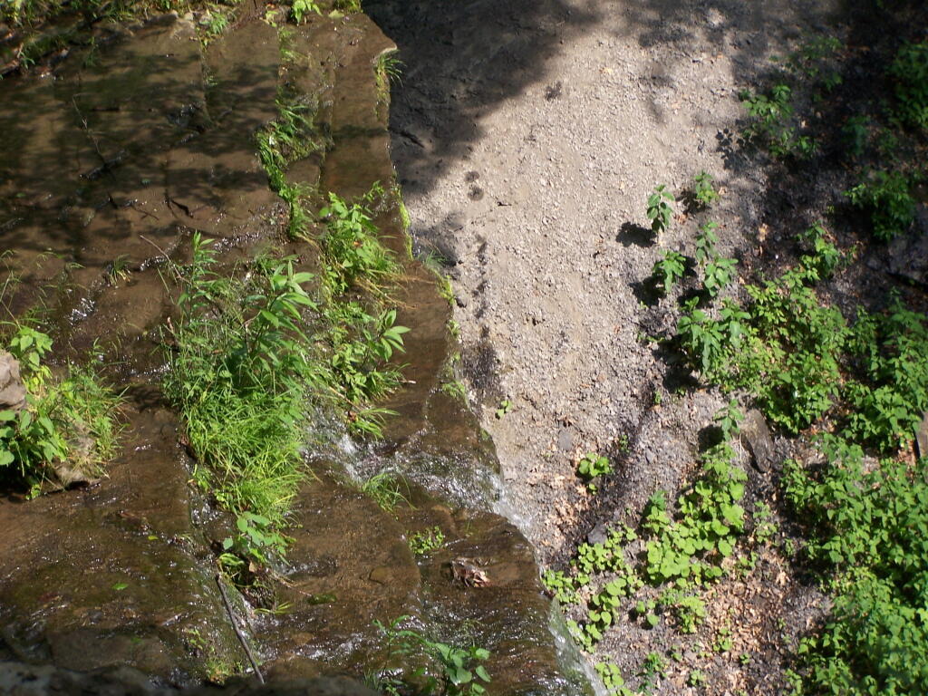
Mallet Pond Dam. The earthen dam that makes up Mallet Pond is about 30 feet high. You wouldn’t know it unless you look at it from a top the dam.

Mallet Pond Dam

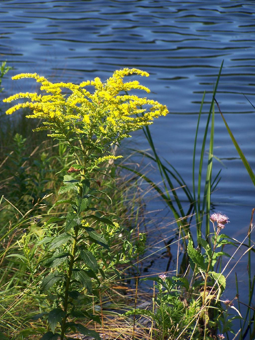
Goldrod. Walking along the eastern side of Mallet Pond.

Goldrod

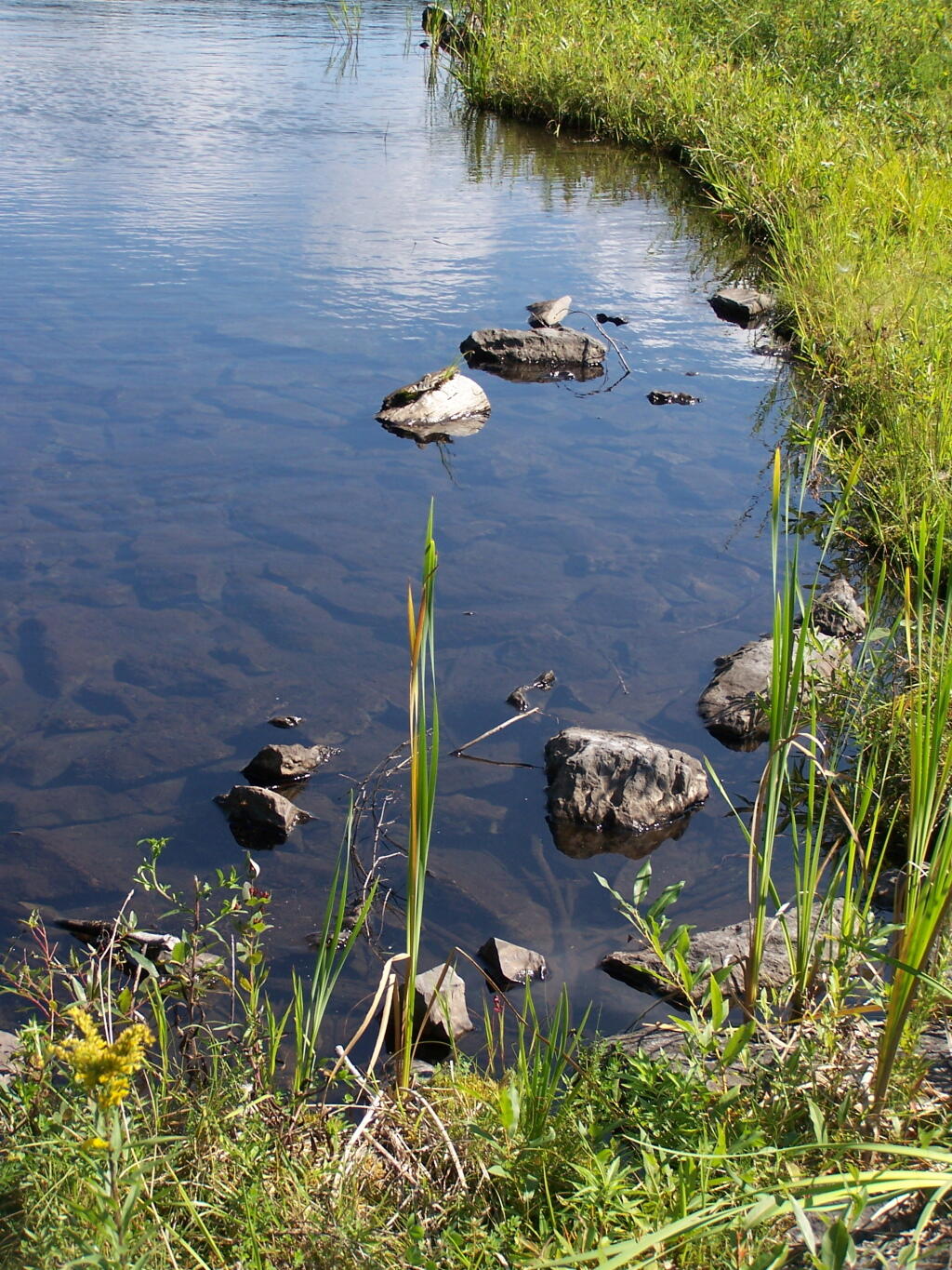
Edge of Mallet Pond’s embankment is made up these large flat shale rocks, and lined with them to discourage erosion over it’s massive earthern dam.

Edge

The upper pond is Rossman Pond, with the campsite right by the parking area. The lower pond is Mallet Pond, which you have to hike down to. Both ponds have undesignated but popular campsites.


View Mallet Pond in a larger map
Map: Floodwood Mountain Trail
Map: Otter Brook Road at Horseshoe Lake Wild Forest

Why Does the DEC Hide Camping Areas?

One of the things that I’ve puzzled over for for some time, is the practice of hiding officially designated roadside camp sites and primative camping areas from their website and from offical signage on primary roads.

Campsite 55

The DEC never puts a sign up along a road saying “Camping Area”, although they do often designate individual sites along the roads with smaller markers. It’s always signed as “C.C. Dam Assocation”, “Moose River Plains Wild Forest”, “Mountain Pond Fishing Area” with no information on camping activities, despite having dozens if not hundreds of designated road-side camping sites.

Brasher Falls Sign

Limekiln Entrance Sign

It’s not like people can’t figure out where primative campsites are located by searching the Internet for other web sites, driving around on state truck trails, checking topographic maps, studying Unit Management Plans, and talking to people who have been their previously. Things are not really hidden, it’s that DEC just doesn’t make it obvious.

Campsite 4

To make matters worst, the DEC varies greatly in their policy towards putting campsites on their online interactive mapper. Some camping areas are not included in their interactive mapper at all, while other are in part or whole. Some designated camping areas on the mapper, require a free permit from the DEC, although you would never know it from the website.

Adirondack Park Land Cover

The DEC also does not provide public access to the shape files used to draw the data in the online interactive mapper. Despite one’s repeated attempts to contact the Department for acess to that shapefile, the GIS director has never responded. If you wanted that incomplete shapefile, you would probably have to FOIL the agency, and no guarantees that the department would provide access.

Tent

There are probably a couple of rationals for this disorganized policy towards primative camping:

  • Discourage over use by keeping camping areas known to a limited number of people who’ve spent the time discovering them on their own
  • Discourage ‘casual’ use by youth who seek simply places for partying and generally making a mess with beer cans and other unburnable trash, damage to vegetation, and generally getting themselves in trouble
  • Competition from State-owned DEC Campgrounds, many of which are money makers for the DEC and help fund other activities of the department
  • Disorganization in the DEC regional offices, which may not sychronize their data with DEC Headquarters in Albany.
  • Regional DEC Offices desire not to share with the DEC in Albany, a list of campsites that do not comply with wild forest guidelines due to spacing or frontage issues.
  • Regional DEC Offices would prefer people contact the forest rangers directly about camping opportunities, so they can better control use of their lands and maintain a kind of fiefdom over them.

Reading in the Rain

Regardless, it would be nice if the Department of Environmental Conservation, in the form of it’s regional and state offices, would be honest with the public about camping opporunties across the state. The public owns the land, and the public has the right to know about how it can be used, without directly having to contact individual forest rangers, which may or may not be honest or helpful.

Map: Onondaga Escarpment Unique Area
Thematic Map: Watervliet Reservior – Guilderland’s Primary Water Source [Expires June 29 2026]

Labrador Hollow

Labrador Hollow is a deep valley surrounded by large hills on both sides. It’s located on the border of Fabius in Ondondoga County (south of Syracuse), and Truxton in Cortland County.

Restricted Use Area

At Labrador Hollow, there are three places you will want to check out:

  1. Labrador Pond
  2. Jones Hill Hang Gliders Cliff
  3. Tinker Falls

There are plenty of signs to guide you to the Labrador Hollow Parking area by the pond.

Labrador Hollow Sign

Through the marshy area, there is a 1/4 mile board walk which provides up close and personal views to the unique wildlife of the area.

Marshland

You usually don’t get a chance to be right up in a marsh like this, unless your deep in the mud with your boots, or it’s less grown up and you could paddle a canoe or kyack. So despite being a little out of place, it does give you a unique experience.

Labrador Hollow Sign

Looking at Labrador Pond through the marshlands.

Labrador Pond

There used to be a firetower on Jones Hill, which is now a nature center down by Labrador Pond.

Relocated Ranger's Cabin

Inside Rangers Station

An open section is mowed, so you can sit dwon by the lake and enjoy the views.

 Clouds Hang Low Over Labrador Pond

Then I drove over to the Kyack/Canoe launch for the pond, on the western side along Labarador Hill.

Clouds Coming In

Besides the kyack launch, there is a series of benches and a boardwalk that extend out into the lake.

Bench on Pond's Edge

Later I drove around to the Eastern side of the lake, then hiked down to Tinker Falls, an accessiable water falls. The trail is an easy 1/4 mile walk that is only slightly inclined.

Looking West on Table Rock Road

Tinker Falls Trail

The falls aren’t big, being maybe 60 feet at the most, but they are still pretty and simple. I wouldn’t confuse it with Niagara Falls or even the Kaaterskill Falls. By afternoon, a lot of people where playing in the falls, trying to stay cool.

Looking West on Table Rock Road

Falling Water

Here is the view from the top of Tinker Falls, accessed from the Finger Lakes Trail or the orange spur to the Finger Lakes Trail.

Looking Over Tinker Falls

I then proceeded to hike up to the Hang Gliders launch spot by the Orange Blaze Connector trail which hooks up with the Finger Lakes Trail. This is route I took, it’s slightly longer and steeper then the old woods road route.

Wetlands

You can also follow the old woods road, which goes directly up to Hang Gliders spot on Jones Hill.

Descending the Trail

Part of the Finger Lakes Trail runs along the edge of Jones Hill, although there aren’t any real views this time of year.

Along the Edge of Long Hill

Arriving at Hang Gliders clearing. It was very hazy out, with limited views.

North Through Hollow

Looking down at Labrador Hollow and towards Labrador Hill.

Looking Down at Edge of Pond

Farms in Fabius, with very poor views.

Farms in Fabius

I want to come back on a clear fall day. Maybe this fall I will go back out and explore this area again in the future.

Trees Along Southern Edge of Pond

Here is a map of the hike.


View Labrador Hollow 6-26-10 in a larger map
Map: Trout Pond - Russell Brook Falls
Map: Downerville State Forest (Trails)

5 Ways I’ve Driven From Albany to Plattsburgh

Back when I was in college, I used to drive back and forth between Plattsburgh and Albany a lot. I used to try a variety of routes, some more indirect then others, to see the scenery, especially when I had extra time to burn in the afternoon.

1) Via the Adirondack Northway.

The most direct and quick way is via the Adirondack Northway (I-87) all the way up.

2) Via 9N Through Ticonderoga – West Side of Lake George.

This way is really slow as you wind your way up and over Tongue Mountain, and through all the little resort towns along the west side of Lake George.

3) Via NY 22 – East Side of Lake George.

This route is moderately fast. There is some spectular secenry along NY 22 as you head from Whitehall to Ticonderoga, with sweeping views of Lake Champlain.

4) Via Lake Champlain Bridge and Burlington.

I quite often would take this route over the old Lake Champlain Bridge when I wanted to visit Burlington. The old bridge was beautiful, as is the landscape after you cross into Vermont. Burlington is an amazingly nice city too.

5) Via NY 22A and Burlington.

I used to come back via Burlington some times, by taking VT 22A through the dairy country of southern Vermont. The land is pretty flat, and VT 22A, but there are still some amazing views of the Adirondack Mountains along this route.

SVGZ Graphic: Median Household Income in NY (Hex Map)
Thematic Map: Active Fire Area - Palisades Fire Overlaid Albany

Thatcher Park in November

For my Sunday afternoon walk this afternoon I went up to Thatcher Park. It was 60 degrees out, and quite nice weather for late November. The previous day it had rained quite hard and water was coming out quite intensively from the Horseshoe Falls.

Mine Lot Falls

Walking along the fence line above the Escarpment on Horseshoe Clove.

Fenceline

Looking south and at rather gray landscape off Thatcher Park.

Hillside

Farms outside of Altamont in the fall without the leaves.

 New Asphalt

A stream of water coming north out of an upper clove.

Stream of Water

Birch along the edge of the path.

Birch

Hunter Scofield Monument