Mallet Pond Sign 🖼️
Download a JPEG Image of the Mallet Pond Sign.
Mallet Pond Sign ...
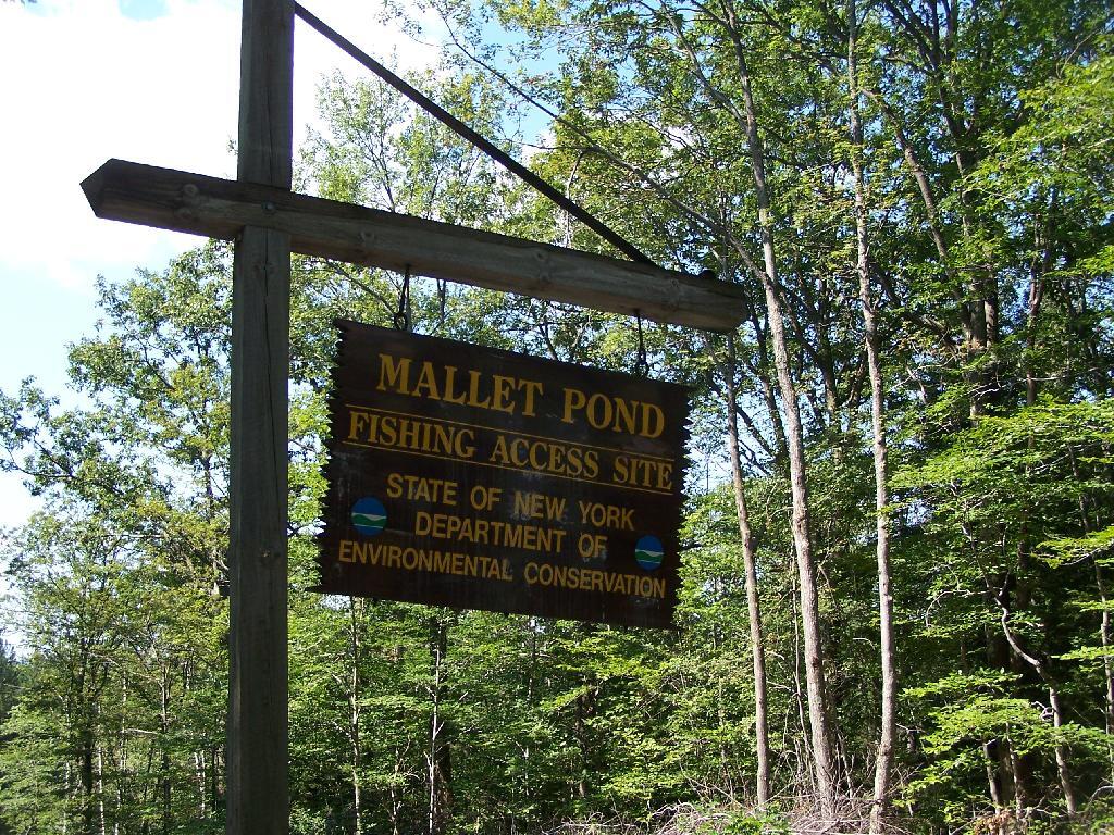
Unlike Rossman Pond, Mallet Pond actually has a sign showing where it is. There are no other signs for Mallet Pond from here on down, but the road is easy to follow to the pond.
Taken on Saturday August 28, 2010 at Mallet Pond State Forest.

More about Mallet Pond State Forest...
Mallet Pond State Forest is 2,567 acres of state land north of Burnt Rossman State Forest, outside of Fultonham. There are several informal campsites along the lakes that are popular during the summer months. Mallet Pond is most commonly fished for its trout. Special regulations apply. Some decent sized trout have been taken from this small pond. The pond is stocked annually with approximately 250 brown trout and 250 rainbow trout from 8-10" in length. Parking area at gated road off Rosseman Fly Road. Roughly a 0.3 mile walk from parking area to pond.
http://www.dec.ny.gov/outdoor/84886.html


