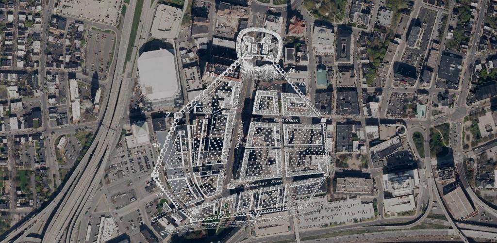
Here is a Map of Albany showing the stockade in 1695, overlaying the contemporary arerial photo of Albany. At the top of the hill, was Fort Frederick sitting atop State Street Hill (Capitol Hill) it replaced the earlier Fort Orange along the Hudson River, offering protection for Pearl Street and lands below it. John Wolcott told me that Pearl Street was likely a corruption of "Peril Street" due to the risk of being shot by invaders down from the top of the hill.
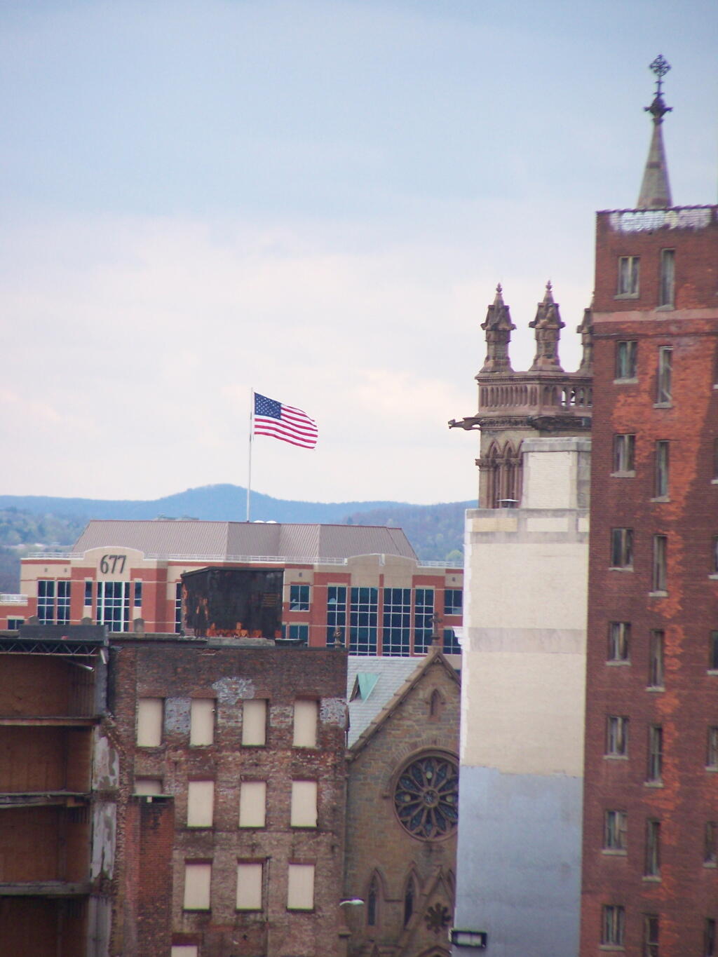
Looking across Albany's rather desolate and abandoned landscape, also known as State Street, the primary street in the Capitol of New York.
Taken on Friday April 29, 2011 at Albany, NY.
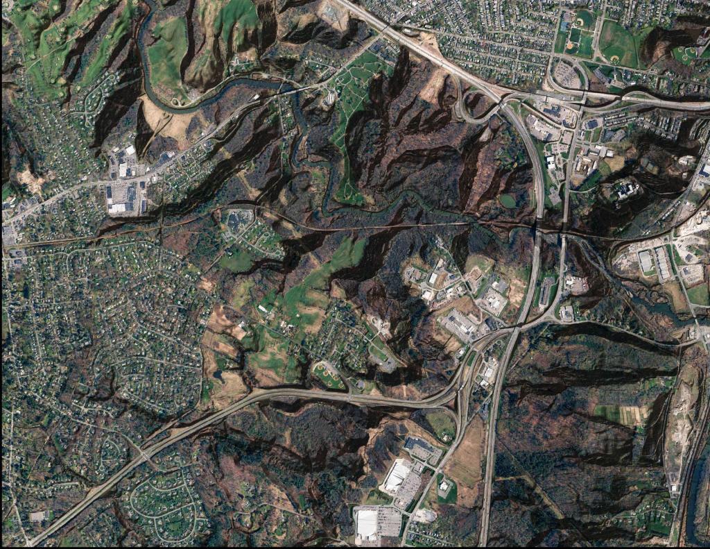
This gives you an idea of the scale of the Thruway-Northway Interchange in Colonie compared to Center Square Neighborhood in Albany. These aerial photos are the exact same scale.
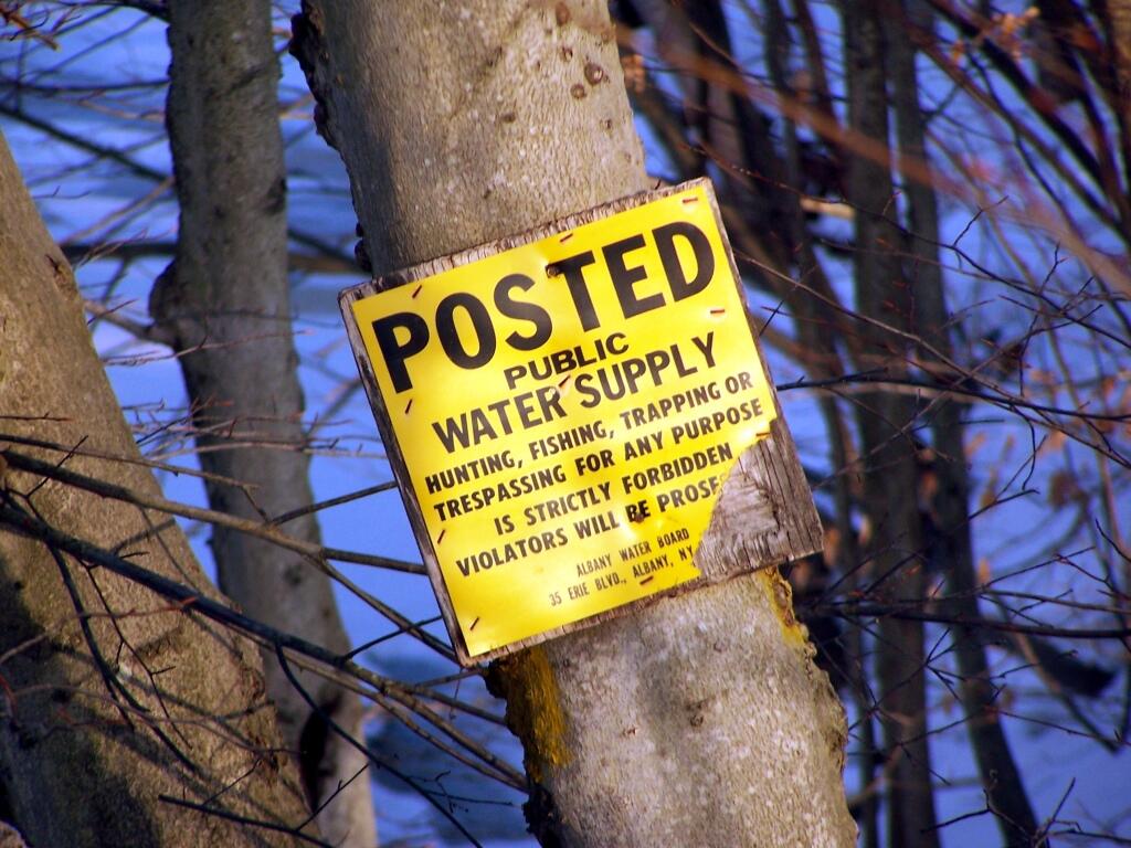
My parent's house borders against Albany City Water Supply protected lands near the Alcove Reservior. Pre-911 as a child, I use to explored the area.
Taken on Sunday February 20, 2011 at Dormansville, New York.
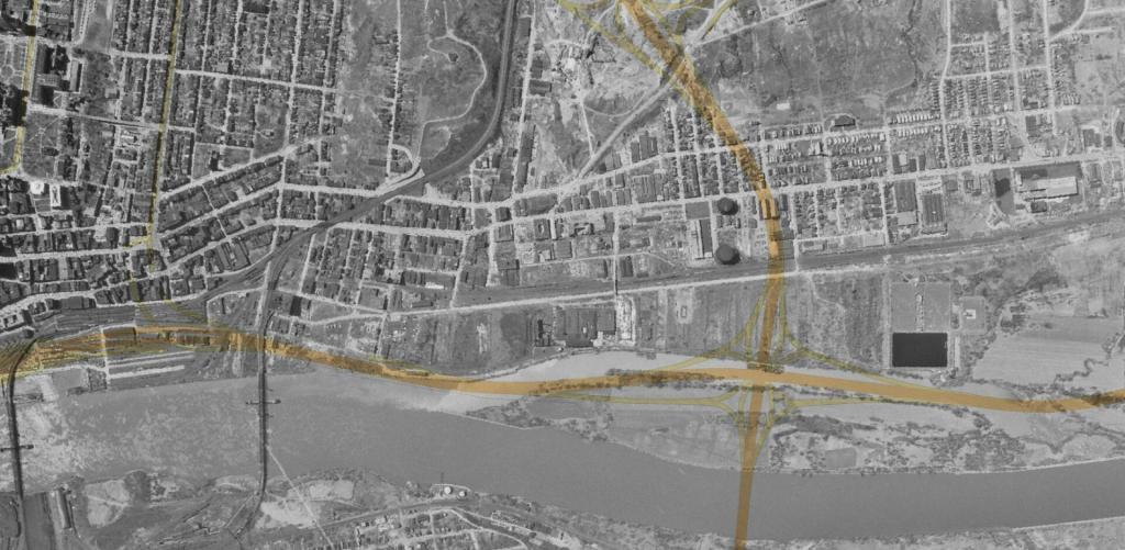
This aerial photo of Patroon Island shows it in the early 1950s before the Patroon Island Bridge, Interstate 787 and when Albany had its water treatment plant up there, before it was used as a temporary dumping ground for the city's garbage. Interstates 787 and 90 along with the bike path are overlaid on this map to get a better idea of where things exist today.
This orthophoto shows the Albany County Rail Trail and the Normans Kill Gorge. Notable in this photo is how the LiDAR shoots through the bridges, making the bridges shown on the orthophoto overlaid on the hillshade appear to drop into each gorge. Kind of a neat effect, as is the many deep ravines surrounding the rail trail.
Juxaposed against another modern building in Downtown Albany.
Taken on Friday February 11, 2011 at Albany, NY.