[nycpseries postID=”10753″]
Search Results for: photo albany 7
Chapel Thru the Trees
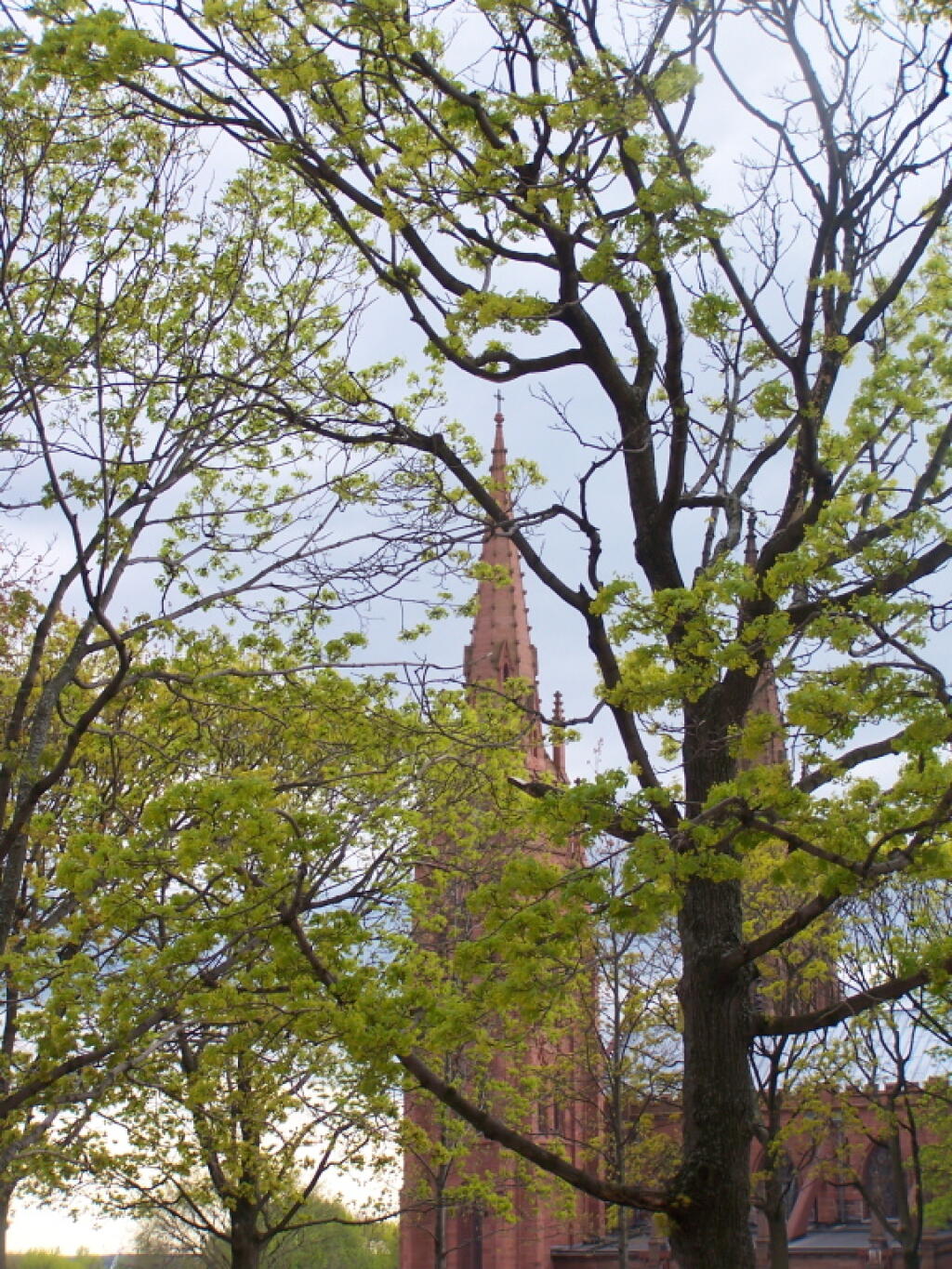
Looking at the Cathedral of the Immaculate in downtown Albany through trees starting to turn green at the Empire State Plaza.
Taken on Friday April 29, 2011 at Albany, NY.Bethlehem Energy Center Aka Albany Steam Station
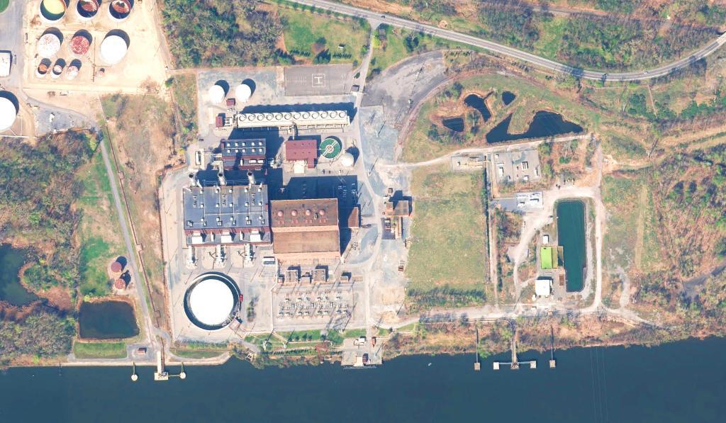
Key Facts:
Location: Bethlehem, NY
MW: 790
Fuel: Natural Gas (Low Sulfur Distillate Oil As Secondary)
Technology: Combined-Cycle
Commercial Operation: 2005
https://www.pseg.com/family/power/fossil/stations/bethlehem.jsp
"Albany Steam Power Station first began operations in 1952 as a coal-fired station and was converted to oil in 1970. It was further modified in 1981 for natural gas and became a 400MW oil and natural gas-fired power plant. The BEC has cut emissions of smog-causing nitrogen oxide by 90%, and reduced sulphur dioxide emissions by 94%. The BEC generates 50% less waste heat than the Albany Steam Station and has reduced air emissions by at least 95%."
https://www.power-technology.com/projects/bethlehem/
"The New York State Board on Electric Generation Siting and the Environment (Siting Board) has announced approval of plans to make hardware and software changes at the Bethlehem Energy Center in Glenmont that are designed to help improve the plant’s energy efficiency. The petition was submitted by the plant’s owner, PSEG Power New York LLC. The approved changes will allow for the replacement of certain components of the three combustion turbines and certain changes to related software programs. The equipment being replaced are components of the combustion turbines themselves. According to the Siting Board, the upgrades will result in very little, if any, impact on the environment or the surrounding community, and will not result in any increase in air emissions from the facility."
Albany Plan 1695
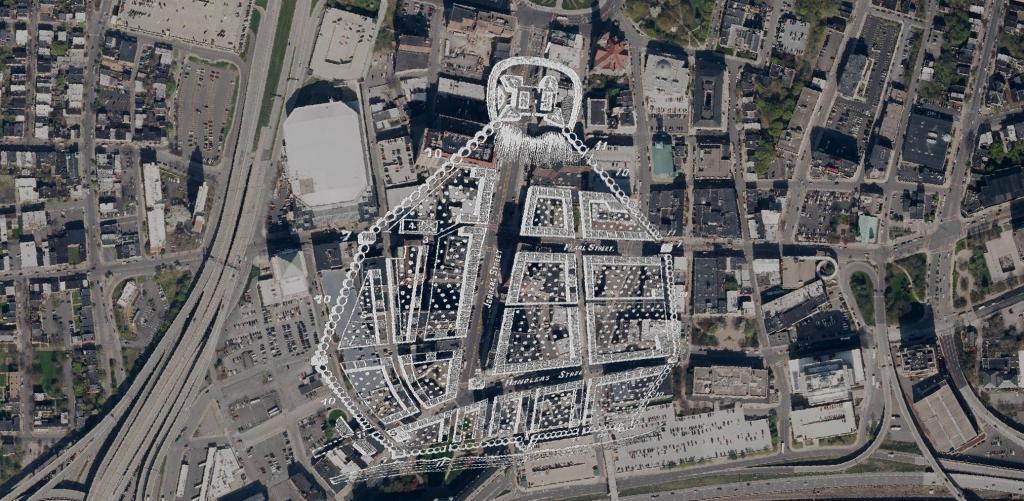
Here is a Map of Albany showing the stockade in 1695, overlaying the contemporary arerial photo of Albany. At the top of the hill, was Fort Frederick sitting atop State Street Hill (Capitol Hill) it replaced the earlier Fort Orange along the Hudson River, offering protection for Pearl Street and lands below it. John Wolcott told me that Pearl Street was likely a corruption of "Peril Street" due to the risk of being shot by invaders down from the top of the hill.
677 Flag
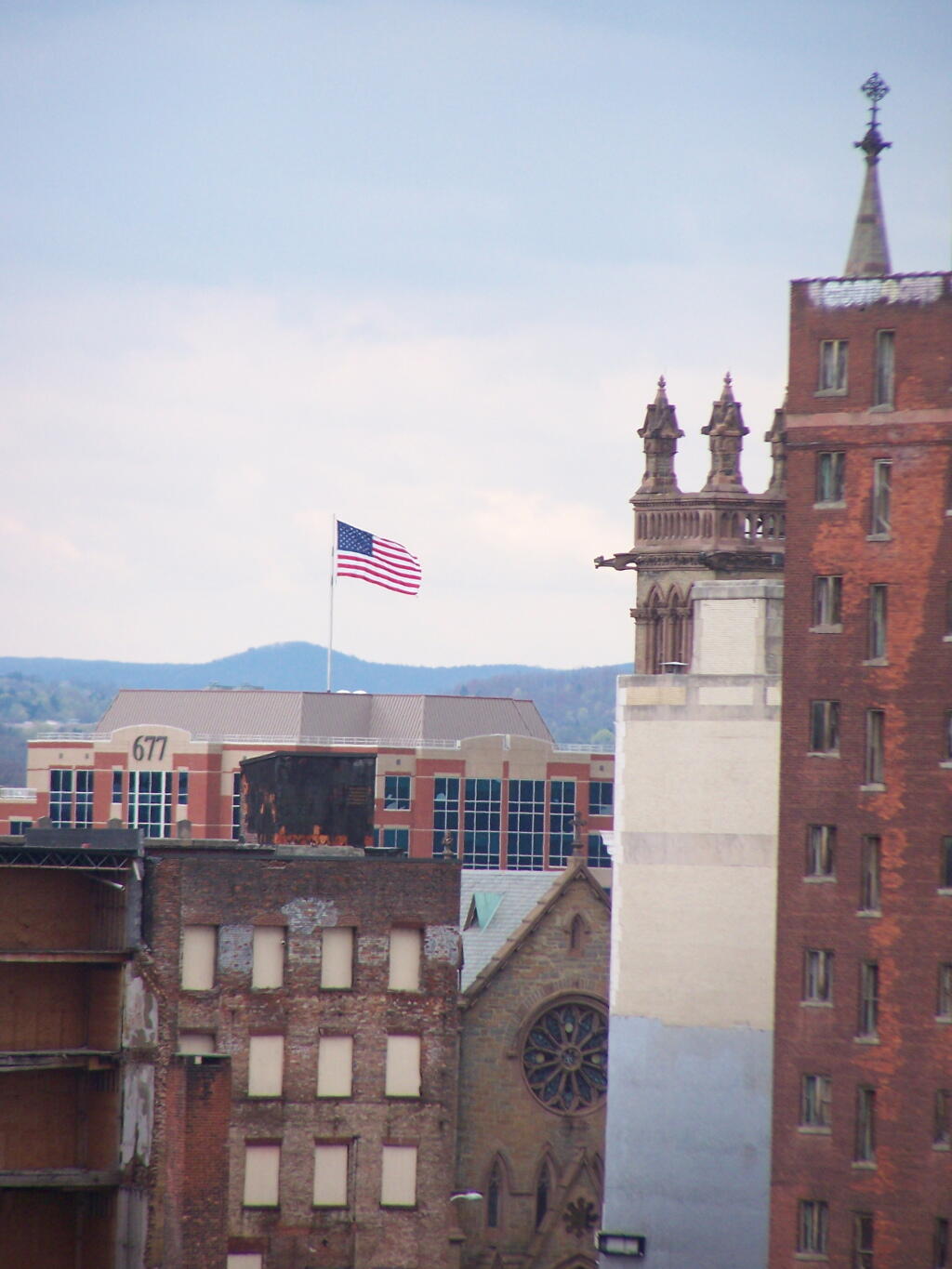
Looking across Albany's rather desolate and abandoned landscape, also known as State Street, the primary street in the Capitol of New York.
Taken on Friday April 29, 2011 at Albany, NY.Center Square Neighborhood of Albany vs Thruway-Northway Interchange (Size Comparison)
This gives you an idea of the scale of the Thruway-Northway Interchange in Colonie compared to Center Square Neighborhood in Albany. These aerial photos are the exact same scale.
Public Water Supply
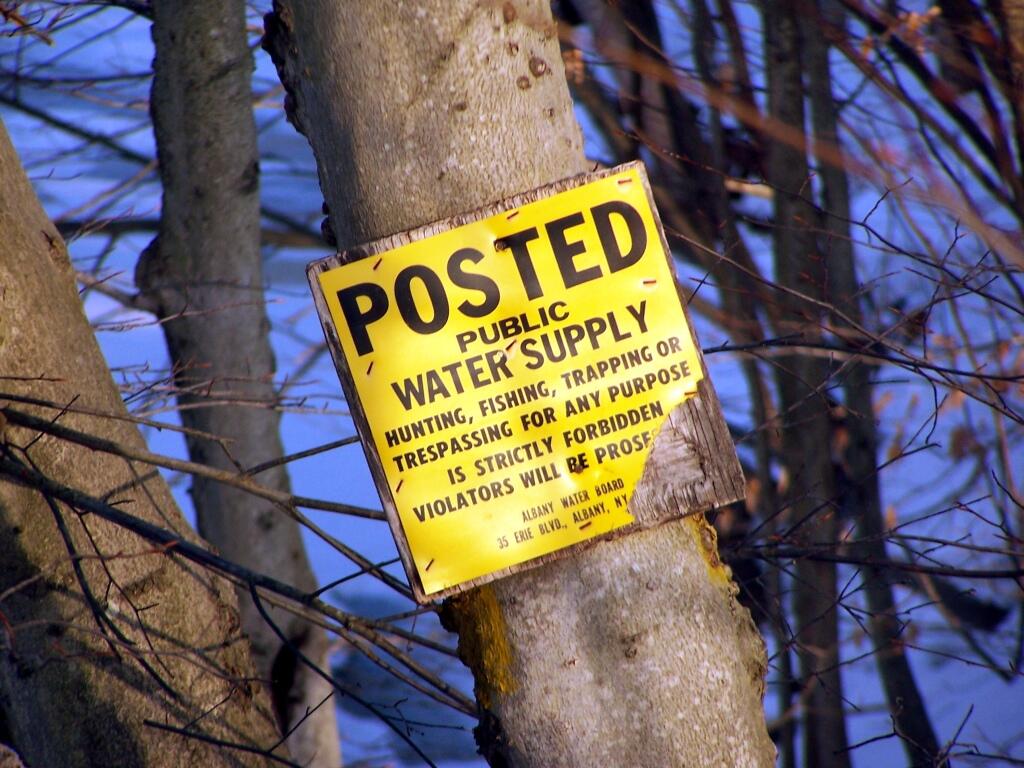
My parent's house borders against Albany City Water Supply protected lands near the Alcove Reservior. Pre-911 as a child, I use to explored the area.
Taken on Sunday February 20, 2011 at Dormansville, New York.