NY 8 and 12 Intersection at Interstate 790 and the Thruway
A pretty big interchange for a little tiny city -- Utica.
A pretty big interchange for a little tiny city -- Utica.
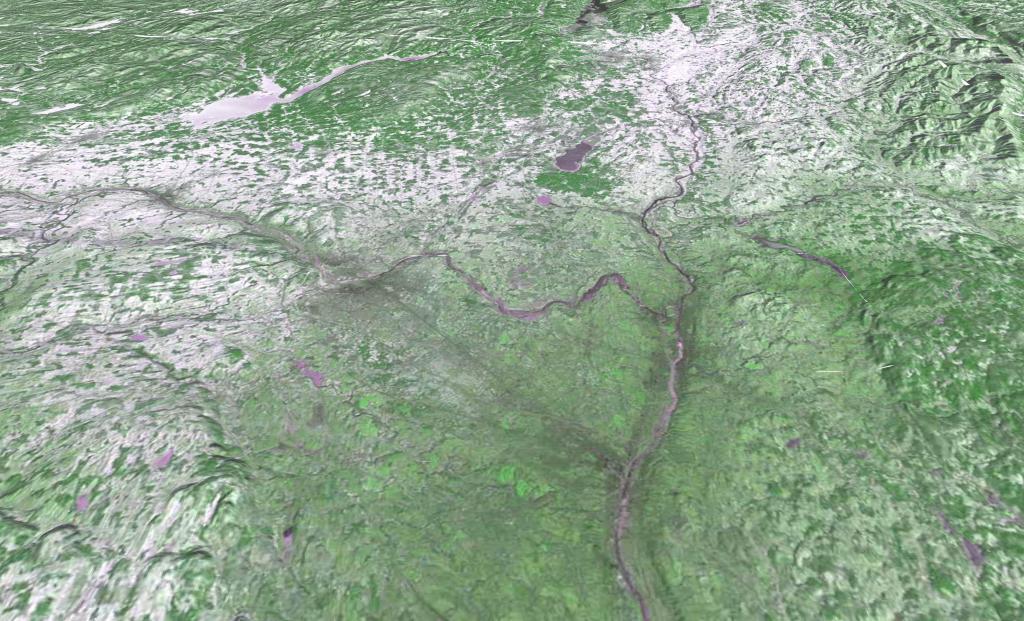
Monday, January 8, 1973 after a snow storm that most impacted the higher elevation areas south of Adirondacks. LANDSTAT 1 satellite photo shown in 3D mode -- the LANDSTAT data going back to 1972 is all geo-referenced so it's super easy to play with it.
I pulled the 1907 Waterville Topographic Map as I was curious if any of the logging roads that are on Tassell Hill would appear on the old map. The answer is no.
The original routing used to be a lot steeper and direct up to Haines Falls. I'm not totally sure when the old road was replaced but probably fairly early on at the start of the automotive age as the curves are quite sharp and the road narrow.
I did a quick and dirty map warp of the October 13, 1942 aerial photo of Underwood to show what Dysfunction Junction looked like in the 1940s and 1950s prior to early-1960s re-alignment of US 9 that included building a higher-speed legged interchange with NY 73.
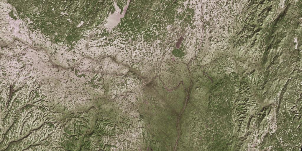
Monday, January 8, 1973 after a snow storm that most impacted the higher elevation areas south of Adirondacks. LANDSTAT 1. And yes, as you can see, the old LANDSTAT imagetry is geoReferenced. Neat!
Watch the evolution of this area after Hurricane Irene back in 2011 ...