VIIRS – February 27, 2024
Most of the snow is gone except in the higher locations of the Adirondacks and Catskills. You can see the clouds pushing in yesterday afternoon ahead of today's rain.
Most of the snow is gone except in the higher locations of the Adirondacks and Catskills. You can see the clouds pushing in yesterday afternoon ahead of today's rain.
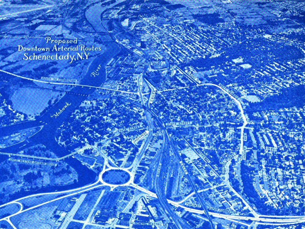
The yet to be built Interstate 890 took a similar route, but ended up in a large traffic circle at Erie Boulevard in the 1947 Proposed Downtown Arterial Routes study. The Route 50 Connection also was never built, with most traffic continuing to use the Great Western Gateway Bridge or Freeman's Bridge.
Smooth dirt road between PA 326 and the Willow Creek ATV area with camping opportunities.
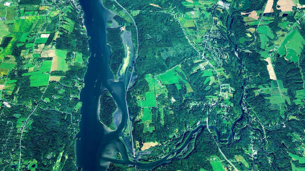
Been a long time since I last camped on the Hudson River.
A pretty big interchange for a little tiny city -- Utica.
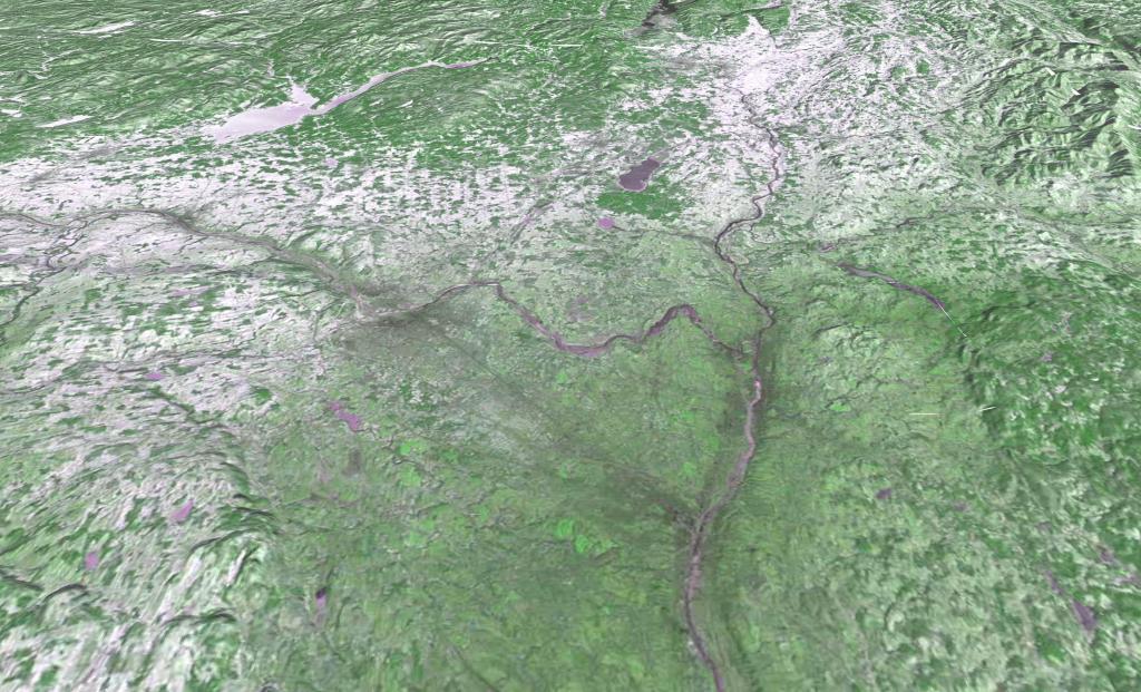
Monday, January 8, 1973 after a snow storm that most impacted the higher elevation areas south of Adirondacks. LANDSTAT 1 satellite photo shown in 3D mode -- the LANDSTAT data going back to 1972 is all geo-referenced so it's super easy to play with it.