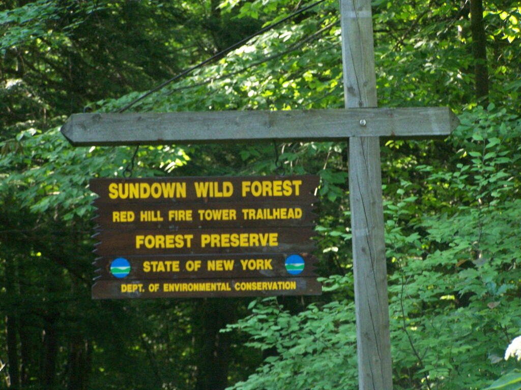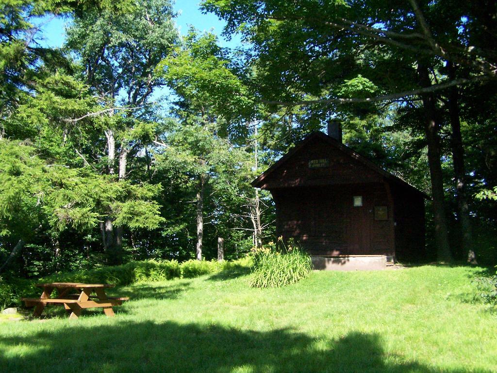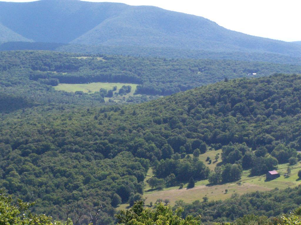
The days are rapidly getting longer, with later sunsets at these table show.
February 2014
| Length of day | Solar noon | ||||||
|---|---|---|---|---|---|---|---|
| Date | Sunrise | Sunset | This day | Difference | Time | Altitude | Distance |
| (million mi) | |||||||
| Feb 1, 2014 | 7:09 AM | 5:09 PM | 9h 59m 07s | + 2m 21s | 12:09 PM | 30.4° | 91.607 |
| Feb 2, 2014 | 7:08 AM | 5:10 PM | 10h 01m 31s | + 2m 23s | 12:09 PM | 30.7° | 91.621 |
| Feb 3, 2014 | 7:07 AM | 5:11 PM | 10h 03m 56s | + 2m 25s | 12:09 PM | 31.0° | 91.634 |
| Feb 4, 2014 | 7:06 AM | 5:13 PM | 10h 06m 22s | + 2m 26s | 12:09 PM | 31.3° | 91.648 |
| Feb 5, 2014 | 7:05 AM | 5:14 PM | 10h 08m 51s | + 2m 28s | 12:09 PM | 31.6° | 91.662 |
| Feb 6, 2014 | 7:04 AM | 5:15 PM | 10h 11m 21s | + 2m 29s | 12:09 PM | 31.9° | 91.676 |
| Feb 7, 2014 | 7:03 AM | 5:16 PM | 10h 13m 52s | + 2m 31s | 12:09 PM | 32.2° | 91.691 |
| Feb 8, 2014 | 7:01 AM | 5:18 PM | 10h 16m 25s | + 2m 32s | 12:09 PM | 32.5° | 91.706 |
| Feb 9, 2014 | 7:00 AM | 5:19 PM | 10h 18m 59s | + 2m 34s | 12:09 PM | 32.8° | 91.722 |
| Feb 10, 2014 | 6:59 AM | 5:20 PM | 10h 21m 35s | + 2m 35s | 12:09 PM | 33.1° | 91.738 |
| Feb 11, 2014 | 6:58 AM | 5:22 PM | 10h 24m 12s | + 2m 36s | 12:09 PM | 33.5° | 91.754 |
| Feb 12, 2014 | 6:56 AM | 5:23 PM | 10h 26m 49s | + 2m 37s | 12:09 PM | 33.8° | 91.771 |
| Feb 13, 2014 | 6:55 AM | 5:24 PM | 10h 29m 29s | + 2m 39s | 12:09 PM | 34.1° | 91.788 |
| Feb 14, 2014 | 6:53 AM | 5:26 PM | 10h 32m 09s | + 2m 40s | 12:09 PM | 34.5° | 91.806 |
| Feb 15, 2014 | 6:52 AM | 5:27 PM | 10h 34m 50s | + 2m 41s | 12:09 PM | 34.8° | 91.825 |
| Feb 16, 2014 | 6:51 AM | 5:28 PM | 10h 37m 33s | + 2m 42s | 12:09 PM | 35.2° | 91.843 |
| Feb 17, 2014 | 6:49 AM | 5:30 PM | 10h 40m 16s | + 2m 43s | 12:09 PM | 35.5° | 91.863 |
| Feb 18, 2014 | 6:48 AM | 5:31 PM | 10h 43m 00s | + 2m 44s | 12:09 PM | 35.9° | 91.882 |
| Feb 19, 2014 | 6:46 AM | 5:32 PM | 10h 45m 45s | + 2m 44s | 12:09 PM | 36.2° | 91.902 |
| Feb 20, 2014 | 6:45 AM | 5:33 PM | 10h 48m 31s | + 2m 45s | 12:09 PM | 36.6° | 91.923 |
| Feb 21, 2014 | 6:43 AM | 5:35 PM | 10h 51m 17s | + 2m 46s | 12:09 PM | 36.9° | 91.944 |
| Feb 22, 2014 | 6:42 AM | 5:36 PM | 10h 54m 04s | + 2m 47s | 12:09 PM | 37.3° | 91.965 |
| Feb 23, 2014 | 6:40 AM | 5:37 PM | 10h 56m 52s | + 2m 47s | 12:08 PM | 37.7° | 91.986 |
| Feb 24, 2014 | 6:39 AM | 5:38 PM | 10h 59m 41s | + 2m 48s | 12:08 PM | 38.0° | 92.008 |
| Feb 25, 2014 | 6:37 AM | 5:40 PM | 11h 02m 30s | + 2m 49s | 12:08 PM | 38.4° | 92.030 |
| Feb 26, 2014 | 6:36 AM | 5:41 PM | 11h 05m 20s | + 2m 49s | 12:08 PM | 38.8° | 92.052 |
| Feb 27, 2014 | 6:34 AM | 5:42 PM | 11h 08m 10s | + 2m 50s | 12:08 PM | 39.2° | 92.074 |
| Feb 28, 2014 | 6:32 AM | 5:43 PM | 11h 11m 01s | + 2m 50s | 12:08 PM | 39.5° | 92.096 |
March 2014
| Length of day | Solar noon | ||||||
|---|---|---|---|---|---|---|---|
| Date | Sunrise | Sunset | This day | Difference | Time | Altitude | Distance |
| (million mi) | |||||||
| Mar 1, 2014 | 6:31 AM | 5:45 PM | 11h 13m 52s | + 2m 51s | 12:07 PM | 39.9° | 92.119 |
| Mar 2, 2014 | 6:29 AM | 5:46 PM | 11h 16m 44s | + 2m 51s | 12:07 PM | 40.3° | 92.142 |
| Mar 3, 2014 | 6:28 AM | 5:47 PM | 11h 19m 36s | + 2m 52s | 12:07 PM | 40.7° | 92.164 |
| Mar 4, 2014 | 6:26 AM | 5:48 PM | 11h 22m 28s | + 2m 52s | 12:07 PM | 41.1° | 92.187 |
| Mar 5, 2014 | 6:24 AM | 5:50 PM | 11h 25m 21s | + 2m 52s | 12:07 PM | 41.5° | 92.210 |
| Mar 6, 2014 | 6:23 AM | 5:51 PM | 11h 28m 14s | + 2m 53s | 12:06 PM | 41.8° | 92.233 |
| Mar 7, 2014 | 6:21 AM | 5:52 PM | 11h 31m 07s | + 2m 53s | 12:06 PM | 42.2° | 92.256 |
| Mar 8, 2014 | 6:19 AM | 5:53 PM | 11h 34m 01s | + 2m 53s | 12:06 PM | 42.6° | 92.280 |
| Note: hours shift because clocks change forward 1 hour | |||||||
| Mar 9, 2014 | 7:18 AM | 6:54 PM | 11h 36m 55s | + 2m 53s | 1:06 PM | 43.0° | 92.304 |
| Mar 10, 2014 | 7:16 AM | 6:56 PM | 11h 39m 49s | + 2m 53s | 1:05 PM | 43.4° | 92.327 |
| Mar 11, 2014 | 7:14 AM | 6:57 PM | 11h 42m 43s | + 2m 54s | 1:05 PM | 43.8° | 92.351 |
| Mar 12, 2014 | 7:12 AM | 6:58 PM | 11h 45m 37s | + 2m 54s | 1:05 PM | 44.2° | 92.376 |
| Mar 13, 2014 | 7:11 AM | 6:59 PM | 11h 48m 31s | + 2m 54s | 1:05 PM | 44.6° | 92.400 |
| Mar 14, 2014 | 7:09 AM | 7:00 PM | 11h 51m 26s | + 2m 54s | 1:04 PM | 45.0° | 92.425 |
| Mar 15, 2014 | 7:07 AM | 7:02 PM | 11h 54m 20s | + 2m 54s | 1:04 PM | 45.4° | 92.450 |
| Mar 16, 2014 | 7:05 AM | 7:03 PM | 11h 57m 15s | + 2m 54s | 1:04 PM | 45.8° | 92.476 |
| Mar 17, 2014 | 7:04 AM | 7:04 PM | 12h 00m 10s | + 2m 54s | 1:03 PM | 46.2° | 92.501 |
| Mar 18, 2014 | 7:02 AM | 7:05 PM | 12h 03m 04s | + 2m 54s | 1:03 PM | 46.6° | 92.527 |
| Mar 19, 2014 | 7:00 AM | 7:06 PM | 12h 05m 59s | + 2m 54s | 1:03 PM | 47.0° | 92.554 |
| Mar 20, 2014 | 6:58 AM | 7:07 PM | 12h 08m 54s | + 2m 54s | 1:03 PM | 47.3° | 92.580 |
| Mar 21, 2014 | 6:57 AM | 7:09 PM | 12h 11m 48s | + 2m 54s | 1:02 PM | 47.7° | 92.606 |
| Mar 22, 2014 | 6:55 AM | 7:10 PM | 12h 14m 43s | + 2m 54s | 1:02 PM | 48.1° | 92.633 |
| Mar 23, 2014 | 6:53 AM | 7:11 PM | 12h 17m 38s | + 2m 54s | 1:02 PM | 48.5° | 92.660 |
| Mar 24, 2014 | 6:51 AM | 7:12 PM | 12h 20m 32s | + 2m 54s | 1:01 PM | 48.9° | 92.687 |
| Mar 25, 2014 | 6:50 AM | 7:13 PM | 12h 23m 26s | + 2m 54s | 1:01 PM | 49.3° | 92.714 |
| Mar 26, 2014 | 6:48 AM | 7:14 PM | 12h 26m 21s | + 2m 54s | 1:01 PM | 49.7° | 92.741 |
| Mar 27, 2014 | 6:46 AM | 7:15 PM | 12h 29m 15s | + 2m 54s | 1:00 PM | 50.1° | 92.768 |
| Mar 28, 2014 | 6:44 AM | 7:17 PM | 12h 32m 09s | + 2m 53s | 1:00 PM | 50.5° | 92.795 |
| Mar 29, 2014 | 6:43 AM | 7:18 PM | 12h 35m 02s | + 2m 53s | 1:00 PM | 50.9° | 92.821 |
| Mar 30, 2014 | 6:41 AM | 7:19 PM | 12h 37m 56s | + 2m 53s | 1:00 PM | 51.3° | 92.848 |
| Mar 31, 2014 | 6:39 AM | 7:20 PM | 12h 40m 49s | + 2m 53s | 12:59 PM | 51.7° | 92.875 |