Search Results for: photo camp here sign

Camping in Green Mountains National Forest

Green Mountain National Forest Camping ๐Ÿ•

Here is a full-screen interactive map, that uses the official forest service maps as a backdrop. You will need to zoom in to see the individual roads.

In the Green Mountain National Forest there are a variety of back country roads, offering primitive roadside camping.

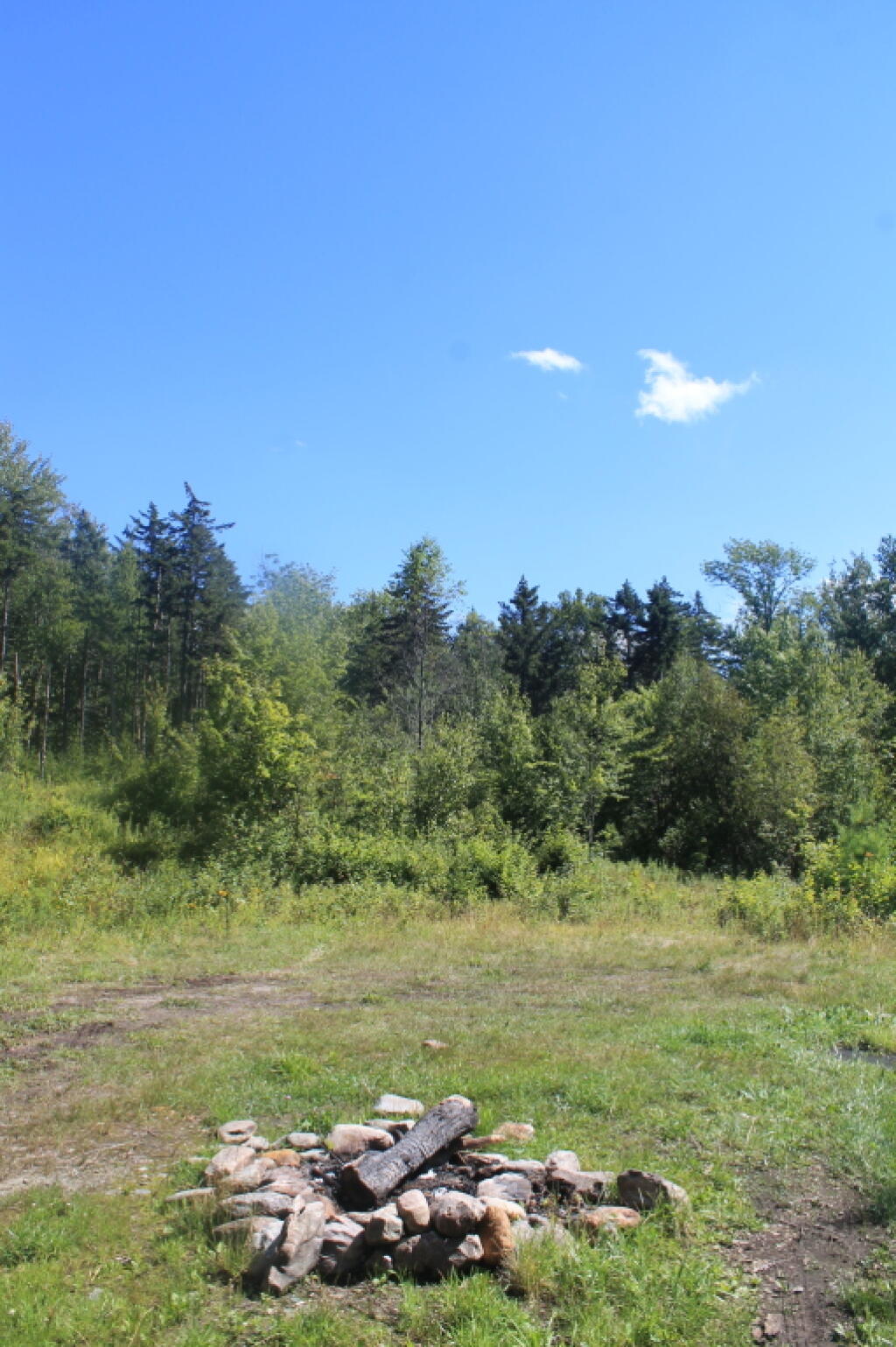
  • Campsites are free to use, and have no facilities except for a fire ring and a pull-off from the road, and sometimes a site reinforced with gravel.
  • As noted below, some campsites have additional facilities.
  • Don’t make a mess of campsites, pack out any garbage left over.
  • Burn only dead and down trees, don’t bring in wood from out of state.
  • You can camp up to 14 days per 30 day period in Green Mountain National Forest — no permits are required.

Here is a listing of the campsite coordinates in a spreadsheet (Green Mountain tab). Please note, these coordinates are not exact as they are drawn based on memory.

Please see also information on dispersed, roadside and back-country camping in New York State, Pennsylvania and West Virginia.

The below descriptions of camping areas from the Green Mountain National Forest’s webpage, General Forest Camping.

 North Half of the Green Mountain National Forest

Note: You must zoom in to see individual roads on above interactive map. Campsite locations were added by hand-digitizing and are not exact.

Austin Brook Road: There are three easily accessible campsites by Austin Brook on Forest Road 25 in Warren. They are all within 0.25 mile of State Route 100.

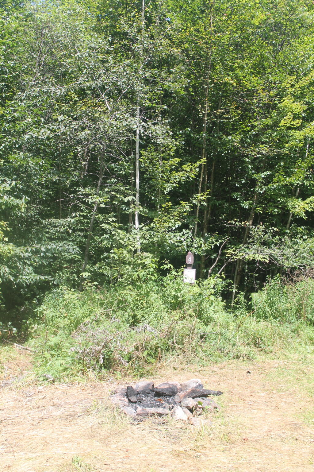
Campsite 4

Bingo: Forest Road 42 in Rochester runs alongside a mountain stream; camping is allowed at designated sites only. These 10 campsites are available on a first-come, first-served basis. There is a limit of 10 people per site. Check the Bingo Brook bulletin board for designated site locations and other site limitations.

Downingville: There is one secluded site in a small clearing near a mountain stream on Forest Road 291 in Lincoln.

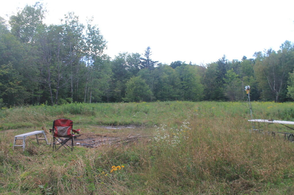
Fayโ€™s Meadow: There are a few sites in an open meadow in Forest Dale. Please do not drive on the meadow because a farmer mows the hay from it. There is a stream for wading and fishing at the north end of the meadow.

Goshen Brook Road: There are a few campsites in and around an open area just beyond the turnaround at the very end of Forest Road 67 in Ripton.

Kettle Brook: A small meadow site at the end of Furnace Brook Road in Pittsford.

Michigan Brook Road: Forest Road 35 in Pittsfield provides many camping opportunities in the woods and along Michigan Brook. The road is not recommended for low clearance vehicles.

New Haven River: There are a few campsites next to the New Haven River at Emily Proctor and Cooley Glen trailhead, on Forest Road 201 in Lincoln.

Field Camping at Romance Header Campsite

Romance Header: A large meadow campsite at the end of Forest Road 224 in Forest Dale. A stream lies to the southeast of the meadow.

Sparks Landing: There is one site in a small meadow on Forest Road 233 in Lincoln. There is good fishing in Sparks Brook, which lies just south of the meadow.

Steam Mill Clearing: There is a large open field on both sides of Forest Road 59 at the Skylight Pond Trailhead in Ripton.

Texas Falls Campsite

Texas Gap: These old fields and side roads on Forest Road 39 in Hancock offer many camping opportunities.

White River & Gulf Brook Roads: Secluded camping, open fields, and beautiful views are offered from the abundance of primitive campsites found along Forest Roads 55 & 101 in Granville.

South Half of the Green Mountain National Forest

Note: You must zoom in to see individual roads on above interactive map. Campsite locations were added by hand-digitizing and are not exact.

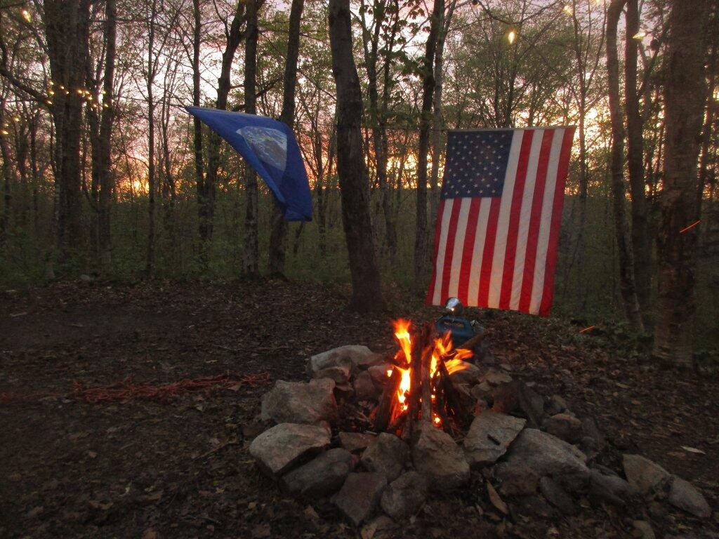
 Campfire

Branch Pond Road: Several sites on this road off of Kelley Stand offer good camping opportunities.

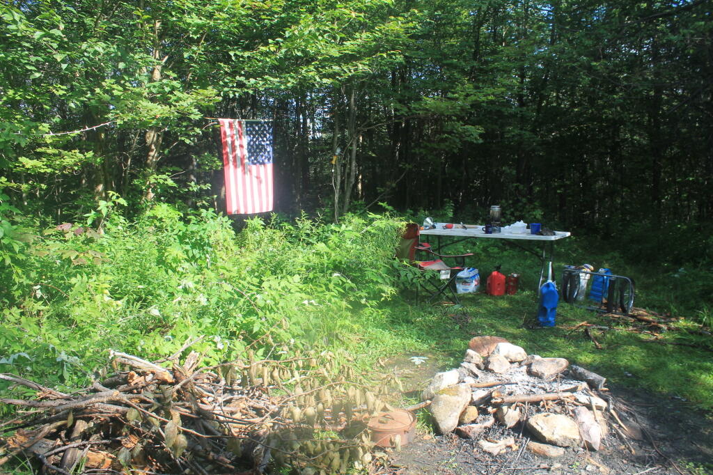
Making Breakfast at Camp

Forest Road 71: This forest road stretches from the old Somerset airfield to the Kelley Stand Road. Campsites can be found in various spots along the way, and along some of the forest roads leading off of Forest Road 71.

Forest Road 74: This forest road is a little less remote than other roadside camping opportunities. Off Vermont Route 9, it dead-ends a couple miles in. Campsites are found unevenly spaced along the way. This area fills up early as it’s one of most accessible.

Kelley Stand Road: Connects the towns of Arlington to West Wardsboro, traveling along an unpaved forest road. A handful of campsites are avaliable on this road, many of the sites along Roaring Brook are permanetly closed.

Morning

Old Job: Off Forest Road 30 there are a few camping opportunities; an open area along FR 30, and both an open field area and a site near Lake Brook at the end of FR 30.

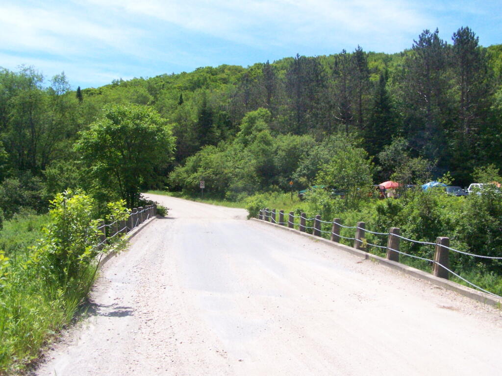
Somerset Road Bridge

Somerset Airfield Campground is a small primitive campground along Forest Road 71. There is a pit-privy and fireplaces in this field camping area. Also popular is Castle Brook Road, near the Deerfield River. This area fills up early, and is known for rowdy crowds but is good if you have a big camper.
Camping Areas in Central Adirondacks โ›บ

Cascade Lake – Scenic lake known for Cascade Falls, about a 1/4 mile north of the lake outside of Big Moose and Inlet. Tent campsites that are about a mile back from the road.

Eatonville Road and Otter Creek Area – Otter Creek State Forest and the portion of Independence River Wild Forest that is home to Confusion Flats, is a popular place for equestrians, but the Eatonville Road area is set aside for those who don’t have horses but want to explore the mix of sandy hills that make up the Western Adirondacks.

Francis Lake – If your looking for a campsite you can paddle to on a lake that isn’t so choppy or large near Stillwater Reservoir, consider camping at Francis Lake. Parking is on the shoulder of Number 4 Road outside of Lowville, there also is two designated handicap sites here.

Lester Flow and Cheney Pond – Scenic lake that is popular for paddling. The 1/2 mile road down from Boreas Road as of June 2020 is closed due to washouts. Tent sites exist along the lake, along with one drive-to site on the road down there. No cell service.

Independence River Wild Forest – Not only is there dozens of boat-only sites along Stillwater Reservoir, consider camping on Smith Road or Basket Factory Road which have numerous sites. Cell services is limited, good at certain sites, especially Smith Road Number 1 (Old Firetower Site).

Mason Lake – Small lake located about 10 miles north of Speculator and 5 miles south of Lewey Lake that has several tent and drive-in campsites along it’s shore. Good to fair cell service here. Nice to hear loons, one of the best bass ponds in the area.

Moss Lake – Scenic sandy lake outside of Big Moose/Inlet in the Western Adirondacks. The lake is ringed by an old carriageway and is a popular place to camp and paddle. There is a sign in / peg board when you get to the lake’s parking area to know which sites are available.

Moose River Plains – The state’s largest wilderness drive-to camping area, with over 150 campsites spread out over 35 miles of dirt road.

Northwood Club Road – In Minerva, this road crosses the Boreas River and has several roadside campsites, and passes by Huntley Pond, the NL Tahawus Railroad (which can be hiked to the Boreas River at Hudson River), and the Blue Ledges on the Hudson trailhead. No cell service.

Vanderwhacker Road -Five or six campsites exist along Vanderwhacker Road, which can be muddy in the spring and icy in late autumn. Additional designates campsites exist near where NY 28N crosses the Vanderwhacker River. Near the trail to the Vanderwhacker Firetower, No cell service.

Woodhull Lake Reservoir – Off of NY 28 in McKeevers, about 10 miles south of Old Forge. Not only is this beautiful reservoir to paddle, there are some campsites along the shore, with drive-to campsites along Wolf Lake Landing Road which leads to it. Part of Wolf Lake Landing Road is erroded, but other parts are fresh stone-dust. It’s remote wilderness but there good cell service in mcuh of the area.

Camping Areas in Southern Adirondacks

Camping Areas in Southern Adirondacks โ›บ

East Branch of Sacanadaga River, NY 8 – Roughly 10 campsites along NY 8. These are easily accessed throughout the year, as the road is plowed except when the snow banks are high during the winter. East Branch is not good for fishing due to wide variance in water levels, however there are some nice pools in sections of river for summer swimming. Lots of road noise. Some of the sites have cell service. Nearby locations include Cod Pond, East Branch Trail and Kibby Pond Trail.

Edick Road – There are a handful of very hidden campsites off of Edick Road. This road may be closed to vehicles due to wash outs autumn 2019, but worth a walk to explore this area.

Fawn Lake – A 1/2 mile hike back to a scenic lake ringed by primitive campsites outside of Lake Pleasant. Two miles beyond it is the scenic Willis Vly, which doesn’t have developed campsites but it’s remote wilderness where you might see a Moose or other wildlife.

Garnet LakeTent sites, some with drive-up access along the lake. No cell service, much of the upper road here is not maintained in the winter. Popular in the summer, no cell service.

Good Luck Lake – Scenic lake off of the West Branch Sacanadaga River that is ringed with tent sites that can be walked in from the Good Luck Lake parking area area or paddled in.

Hope Falls Road – Two or three campsites along the end of Hope Falls Road, some are drive-in only tent sites. Near the Tenant Creek Falls Trail. No cell service. Open June to autumn snowfall.

Harrisburg Road – There is a set of very rustic designated campsites along the rough Harrisburg Road past Harrisburg Lake. Somewhat near Crane Mountain, a couple mile hike to and Wilcox Lake. No cell service.

Lester Flow and Cheney Pond – Scenic lake that is popular for paddling. The 1/2 mile road down from Boreas Road as of June 2020 is closed due to washouts. Tent sites exist along the lake, along with one drive-to site on the road down there.

Mason Lake – Small lake located about 10 miles north of Speculator and 5 miles south of Lewey Lake that has several tent and drive-in campsites along it’s shore. Good to fair cell service here. Nice to hear loons, one of the best bass ponds in the area.

North Lake Reservoir – There are roughly 15 campsites on the east shore of North Lake Reservoir. Popular place in the summer, regularly staffed by conservation students. Noise from motorboats. No cell service. Nice if you want to camp right on water, hear loons at night..

Northwood Club Road – In Minerva, this road crosses the Boreas River and has several roadside campsites, and passes by Huntley Pond, the NL Tahawus Railroad (which can be hiked to the Boreas River at Hudson River), and the Blue Ledges on the Hudson tailhead.

Perkins Clearing – Conservation easement lands. Good to fair cell service here. Great place for hunting and wildlife observation as it’s mixed timber country. Near Mason Lake, Speculator, Pillsbury Mountain and Cedar Lakes.

Piseco-Powley Road – A dozen campsites along a 13 mile road with short hikes including Big Alderbed, House Pond, Sand Lake and the popular Potholers/Brayhouse Brook waterfall for swimming. As of June 2020, road is closed in Stratford/Fulton County portion, road is open north of Potholers/Brayhouse Brook (access via Piseco). Very limited cell service here.

Pumpkin Hollow Road – Three campsites above Willis Lake. Remote country except for the site on Willis Lake, no cell service. On the Willis – Wilcox Lake Trail. Very quiet area. Open June to autumn snowfall. No cell service here.

Rockwood State Forest – Three campsites along the end of Church Road which can be accessed by driving past the cemetery in the hamlet. Scenic lake, good fishing. Cell service available, but bring a trash bucket and gloves as litter can be a problem. Nice trails to stroll around in the old Rockwood Estate.

Stewart Landing – There are four campsites on a rough road that loops off of Stewart Landing Road. Popular area in the summer, Canada Lake is great for paddling and informal swimming. Also consider hiking back to Hilderbrandt Vly and Glassgow Lake from here. Moderate to poor cell service here.

Vanderwhacker Road -Five or six campsites exist along Vanderwhacker Road, which can be muddy in the spring and icy in late autumn. Additional designates campsites exist near where NY 28N crosses the Vanderwhacker River. Near the trail to the Vanderwhacker Firetower, No cell service.

White House, Wells – A grouping of 5 or 6 campsites at the end of White House in West River Road. Scenic area, old camp, with fields and a chimney. Campsites are kind of close together, not a wilderness experience. Near the North Country Placid Trail, lots of blueberries in mid-summer. No cell service. Open June to autumn snowfall.

Woodhull Lake Reservoir – Off of NY 28 in McKeevers, about 10 miles south of Old Forge. Not only is this beautiful reservoir to paddle, there are some campsites along the shore, with drive-to campsites along Wolf Lake Landing Road which leads to it. Part of Wolf Lake Landing Road is erroded, but other parts are fresh stone-dust. It’s remote wilderness but there good cell service in mcuh of the area.

Started looking at solar power for camping

For some time now, Iโ€™ve wanted to learn more about solar electricity. I have read books on it and know how it works in principal, but I have basically no first hand experience as it comes to solar power. At the same time, my electrical load is growing on my truck when camping, especially once I install the CB radio installed in my truck.

Ramsond-100-WattWhy I Am Thinking Of Going Solar

I hate having to turn on the truck to charge the battery every couple hours, especially when I am sticking around a campsite all day rather then traveling. With higher gas prices this year, due to being an election year, I am thinking of spending more time at a campsite โ€“ especially if I do more hunting and fishing this year.

Idling the truck works okay for creating electricity, especially in summer evenings when the darkness is short, and Iโ€™m usually not back to camp until 8 or 9 PM. But sometimes when I am hanging out in camp โ€“ especially in the morning โ€“ itโ€™s a pain to have to start the engine up and listen to the racket it makes, in the quiet of the woods. A solar cell would start charging the battery as soon as the sun rises, and by the time I awoke, the deep-cycle would probably be almost fully charged.

I worry about idling my truck a lot too. Car and truck engines are not designed to idle at a set speed for long periods of time. While engines are a lot better then years past, Iโ€™ve always felt it puts a lot of strain on the engine doing this. That said, I had my previous truck until it was 13 years old, and the engine ran fine. I got rid of it because I wanted a new full-size truck and the old one had increased mechanical costs from things like brakes and suspension parts that kept breaking down in the boonies.

Iโ€™ve started looking at solar panels, especially in the light of the fact that solar power has come down so much in price. They say itโ€™s about $1 a watt, although for the most part the solar panels Iโ€™ve looked at are closer to $1.40-$1.50 a watt. Even at the $1.50 watt price itโ€™s not unreasonable, as Iโ€™ve seen several 100 watt panels below $150.

Not only that, but the modern solar panels are mono-crystalline, so they more produce more electricity in less space. The 100-watt mono-crystalline panels Iโ€™ve seen have dimensions of roughly 3.5 feet by 2.5 ft. Pretty darn small, especially compared to the amount of energy they generate. Have you ever tried generating 100 watts riding on stationary bike? Itโ€™s a lot of work โ€“ despite the fact we use incredible amounts of fossil energy in our homes. Even if I get only 50-60 watts out of the panel, that’s still a 1/2 a kilowatt hour per day.

Solar Panel Inside

Storage box I am thinking of building to store my solar panel when not using it camping.

Why I Donโ€™t Use Solar Power Right Now

Iโ€™ve pondered solar power on and off. Iโ€™ve thought about mounting solar panels on my truck cap, but generally have frowned on the expense and the cost-benefit ratio. The reality is idling my truck to charge up the accessory battery works fairly well, and is low cost compared to driving it there and back.

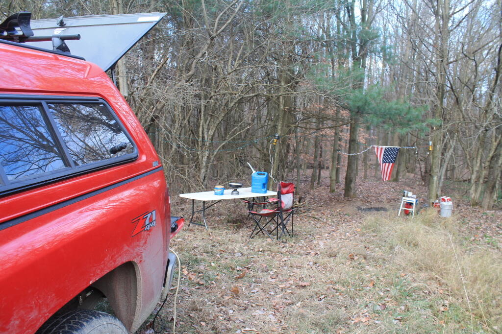
Most of my energy use is at night when I am at camp for the night, sitting by the campfire, listening to music, lighting up the flag, the decorative lights, and LED lamps for general camp lighting. The sun doesnโ€™t shine at night, so I would still have to use the alternator and idle as the battery runs low. Finding direct sunlight sometimes can sometimes be challenging at campsites far back in the woods. Thatโ€™s why you have to make sure you have enough wire of sufficient gauge to put a solar panel a far distance away. But at 8.5 amp of current, the wire size shouldnโ€™t have to be enormous.

I also had concerns about mounting the solar panels on the roof of my truck, going through car washes or if trees brushed along the roof top of my soon to be jacked up truck. I also figured it would reduce my fuel economy by wind resistance, canceling out all benefit to mounting it on the roof.

But the main reason I put off going solar, wasย  it just seemed like very little power for a lot of money. Spending like $200 bucks for 5-6 amps of power, didnโ€™t seem like a good use of money, especially when the alternator puts out so much current. However, unlike an alternator the solar panel runs whenever the sun is up, while the alternator only spins when the engine is running โ€“ typically 10 minutes every 1.5-2.5 hours.

Solar panel prices have come down a lot lately, and while they produce a lot less electricity then a big gas engine that is running, they produce it all the time when the sun is shinning.

Camping on McCarthy Hill Road

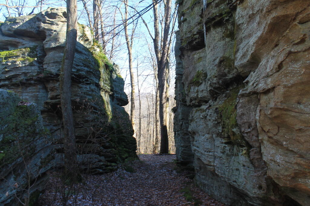
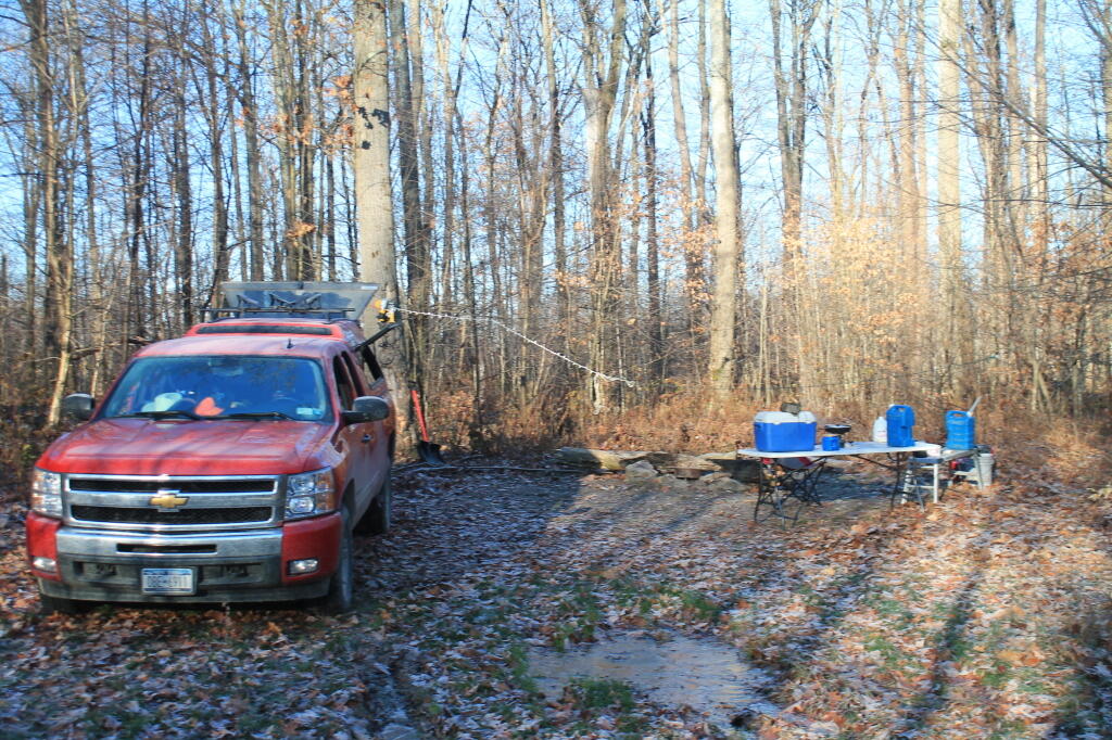
Last November, I spent two rather cold nights right before southern zone hunting season camping on McCarthy Hill Road near Ellicotville in Cattaraugusย County. Located about 1/2 mile from Little Rock City, a popular place for hiking and exploring various “buildings” which are actually just very large, square rocks, left from the glaciers.

Exploring Rock City

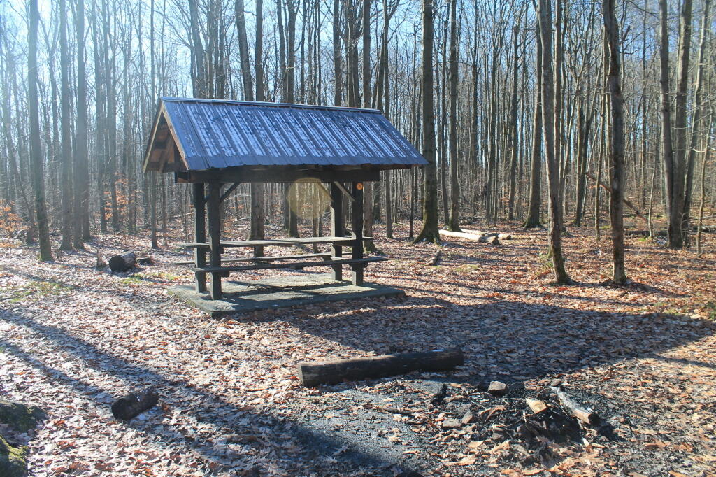
The campsites near Little Rock City have little pavilions.

Tent Camping Pavlion

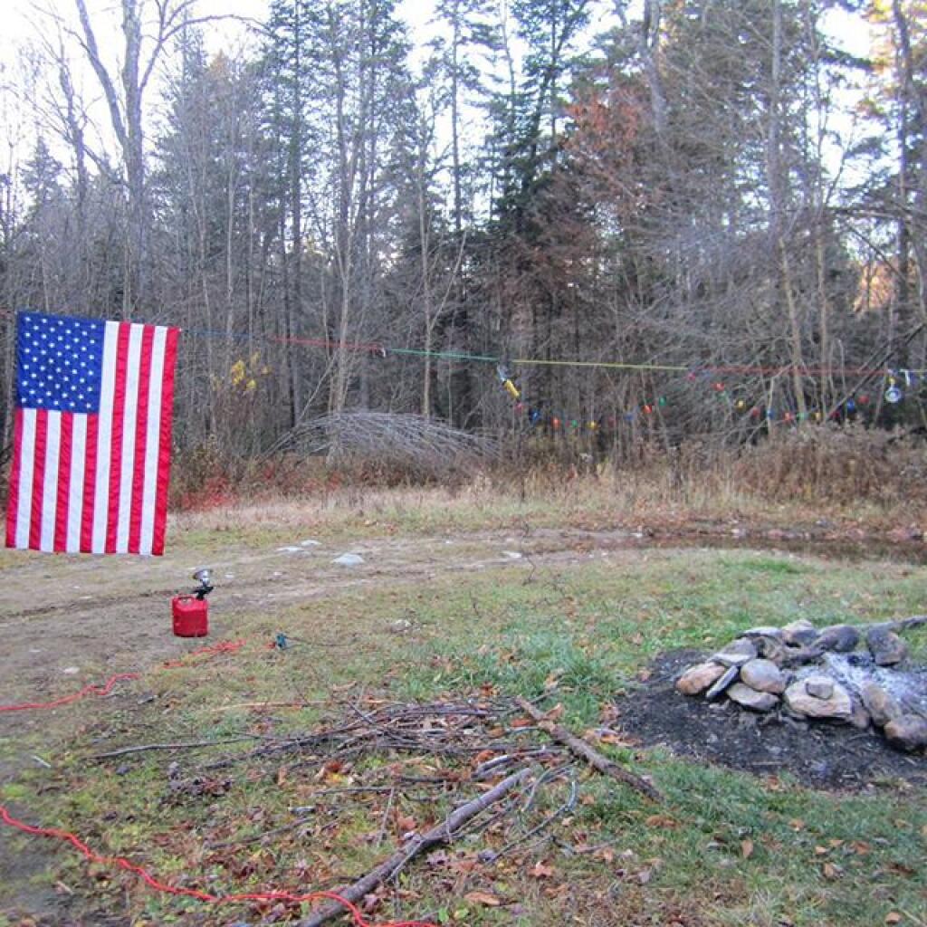
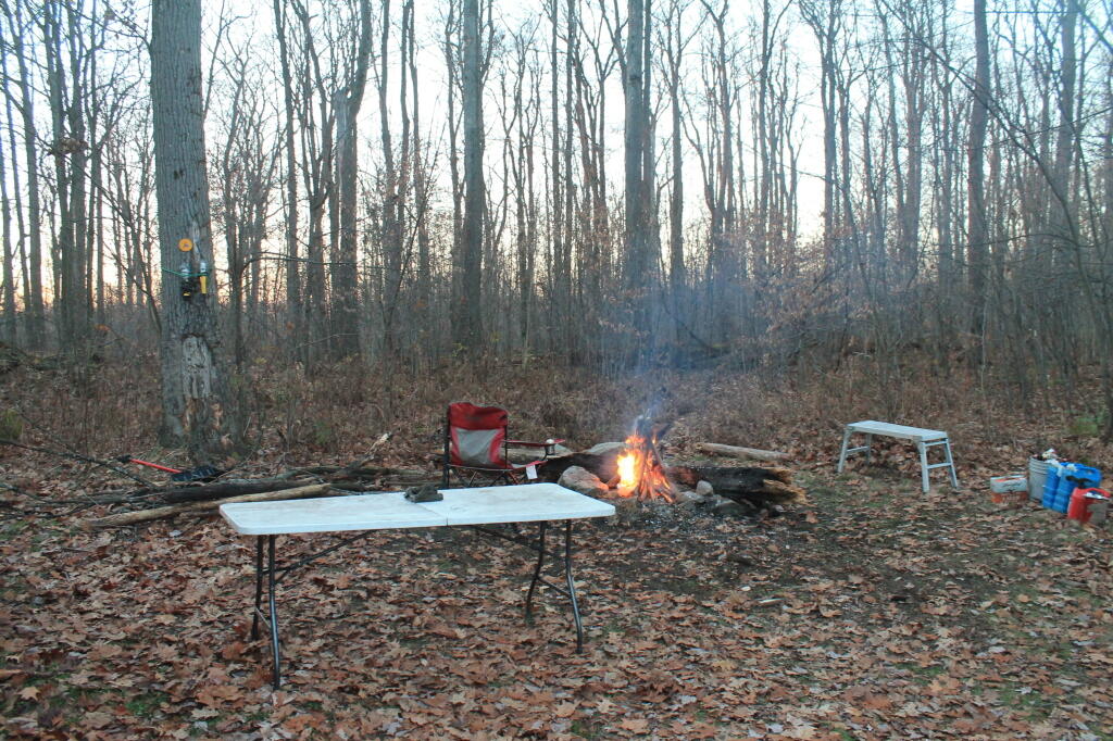
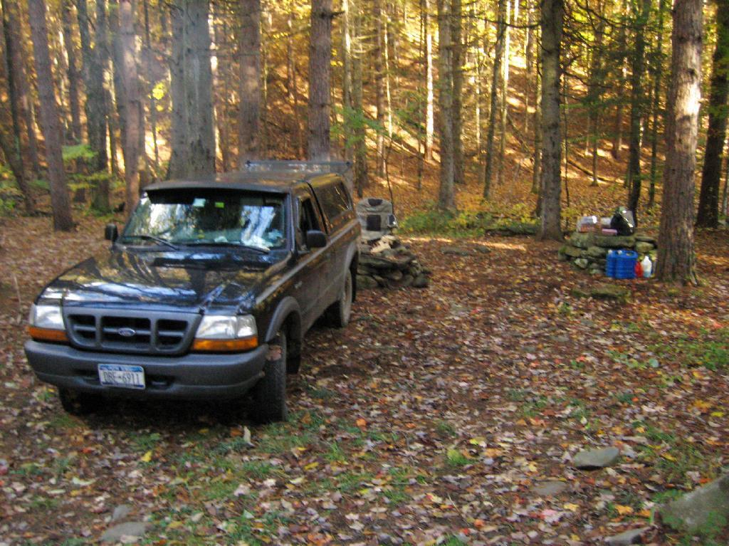
The campsites along McCarthy Hill Road are simple roadside sites, with little more then stone campfire rings and a “Camp Here” sign nailed to the trees.

Final Campfire

Up here, you are camping on a mountain, or at least a fairly large hill, so it’s pretty cold especially on the first day of southern zoning hunting season.

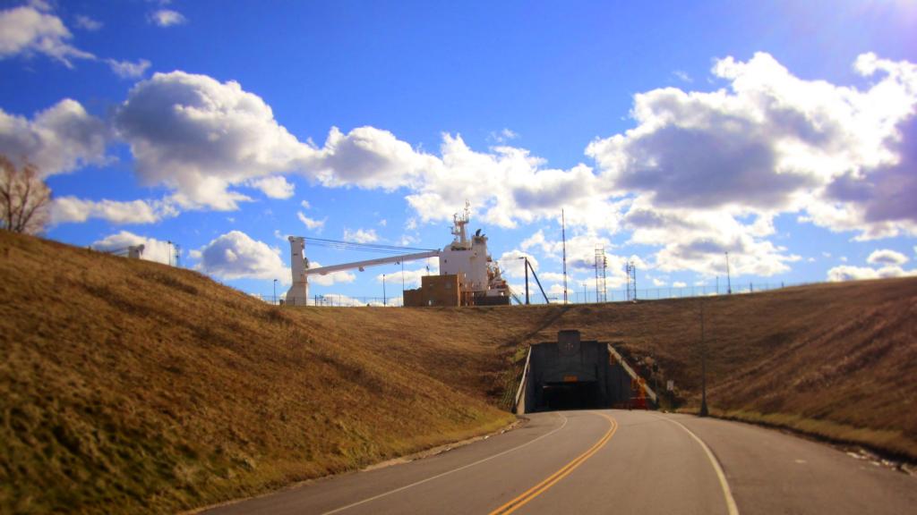
Have you ever driven under a 28,500 ton Seawaymax ship?

But some nice warm coffee can help things out a lot, even when the themometer in your pickup truck says it’s only 19 degrees. Plus a good breakfast made on the campstove.

19 degree at Camp

15 miles to the south is Allegany State Park. 40 miles will get you to the Allegheny National Forest in Pennsylvania. Likewise, Jamestown is about 40 miles to the west. I’ve heard it’s popular in the summer. 15 miles to the north is Zoar Valley Unique Area, a great gorge where the Cattaragus Creek runs, and 50 miles northeast is Letchworth State Park.


View Larger Map

There is good cell service and 4G wireless internet service. Bring your own electricity.

Here’s a map.

Betty Brook North Campsites

There are two campsites on the northern portion of Betty Brook Road, along the Betty Brook. They are usually accessed via Rossman Hill Road, although you can access them from southern end of Betty Brook Road where it hits West Kill Road, if you take a rough truck trail several miles.

Located on a small stream known as Betty Brook, they are located in a fairly deep valley, with private in-holdings on both sides of the valley.

Rankings: Campsites are ranked from 0 to 10, based on the described attributes.

Overall 9 Lack of Enforcement Presence 8
Scenic Beauty 8 Facilities 5
Cleanliness 8 On-Site Attractions 3
Privacy 9 Nearby Attractions 5
Layout 9 Cellphone and Data Services 0

Campsite

Location:
  • Roughly 1.3 miles south of Rossman Hill Road, Fulton, NY on Betty Brook Road.
  • When you proceed down Betty Brook Rd, hang a right at the split where the arrow signs point you away from the “Posted” driveway.
  • 15.7 miles south-east of Cobelskill
  • 6.4 miles north-west of Blenhium
  • N 42.52809 W 74.51415
Cost:
  • No charge
  • 3-nights maximum stay at this site except by FREE camping permit for up to 2-weeks which can be obtained from Forest Ranger Tom Edmundsย 518-827-6565, Cell: 518-505-4070 (more info).
Facilities:
  • 1 small campsite, big enough for small car and a tent
  • 1 large campsite in a field with trees, good for mid-size campers
  • Large campsite – large stone ring fireplace, Small campsite – stone fireplace
  • Stone tables at both campsite
  • No outhouses.
  • No cellphone service
  • Limited radio reception
Vehicles:
  • Large trailer or tent (southern site)
  • Tent or small truck with camper stop (north site)
Attractions on Site:
  • Betty Brook for water
Attractions Nearby:
  • Looking Glass Pond – Fishing – 3 miles north-east on Rossman Hill Road in Fulton
  • NY Power Authority Visitors Center – 8 miles south-west on NY 30 in Blenhium
  • Mine Kill State Park (fee) – 9 miles south-west on NY 30 in Blenhium
  • Mine Kill Falls (south of the park – FREE) – 10 miles south-west on NY 30 in Blenhium
  • Max Shaul Farm Market – 10 miles north-east on NY 30 in Fultonham
Sanitation:
  • Water from Betty Brook โ€“ Boil before drinking or cooking
  • No outhouses โ€“ Dig hole in woods away from creek, burn toilet paper
  • Burn combustible garbage, take cans home for recycling
  • Make sure firepits and campsite are clean before leaving
Restrictions on Use:
  • 3-nights maximum stay at this site.
  • Except by FREE camping permit for up to 2-weeks which can be obtained from Ranger Tom Edmundsย 518-827-6565, Cell: 518-505-4070 (more info).
  • Seasonal use road, the last 1/8 mile from Number Four Road.

Betty Brook Road

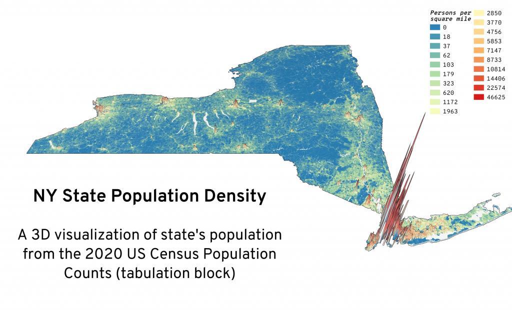
New York State Population Density