What Happened to Ferris Lake and Wilcox Lake Unit Management Plans? The DEC released drafts and took public comment, yet never attempted to APA or Comissioner approval. The typical process for Unit Management Plans is:
- Conduct resource inventory of the unit area.
- Solicit written and verbal input from the public through press releases and meetings.
- Development of a draft plan and address State Environmental Quality Review (SEQRA) issues.
- Prepare a draft plan (for the APA to review in the Adirondack Park).
- Release draft UMP and conduct public hearings.
- Resolve issues, revise the plan (with APA review for compliance with the APSLMP).
- DEC Commissioner gives final approval and the UMP is adopted.
According to the DEC’s Unit Management Plans website, the following parcels of land in Adirondack Park had Draft Unit Management Plans and took public comment. The DEC got through Step 4 (Draft Plan and Public Comment), yet no final document was approved:
- Ferris Lake Wild Forest – Public comment closed on December 2006
- Wilcox Lake Wild Forest – Public comment closed on March 2007
These two parcels represent the two largest wild forests in the Southen Adirondacks, with the largest “developed” recreation facilities such as primative campsites, hiking and snowmobile trails. They are located within 30 miles of major interstate highways, namely the Thruway and Adirondack Northway.
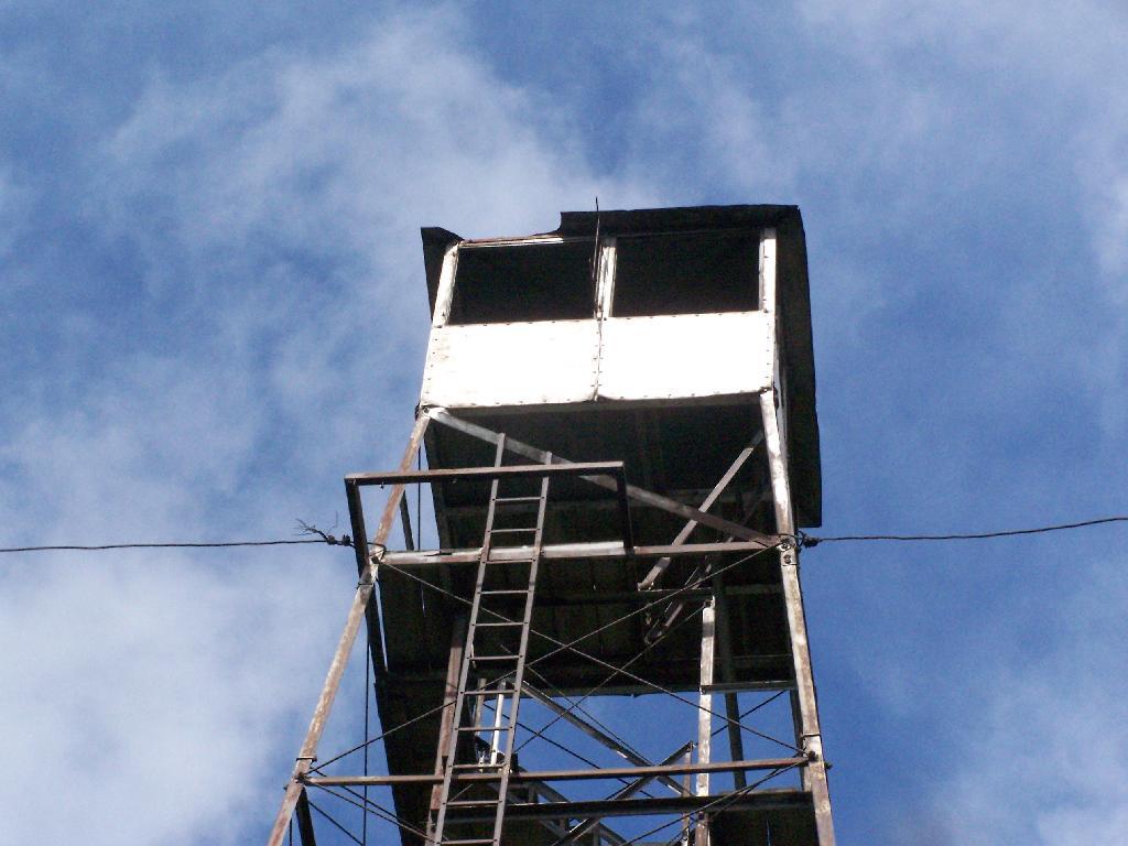
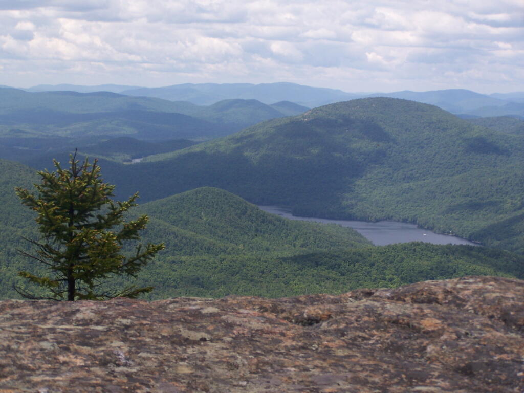
Ferris Lake Wild Forest.
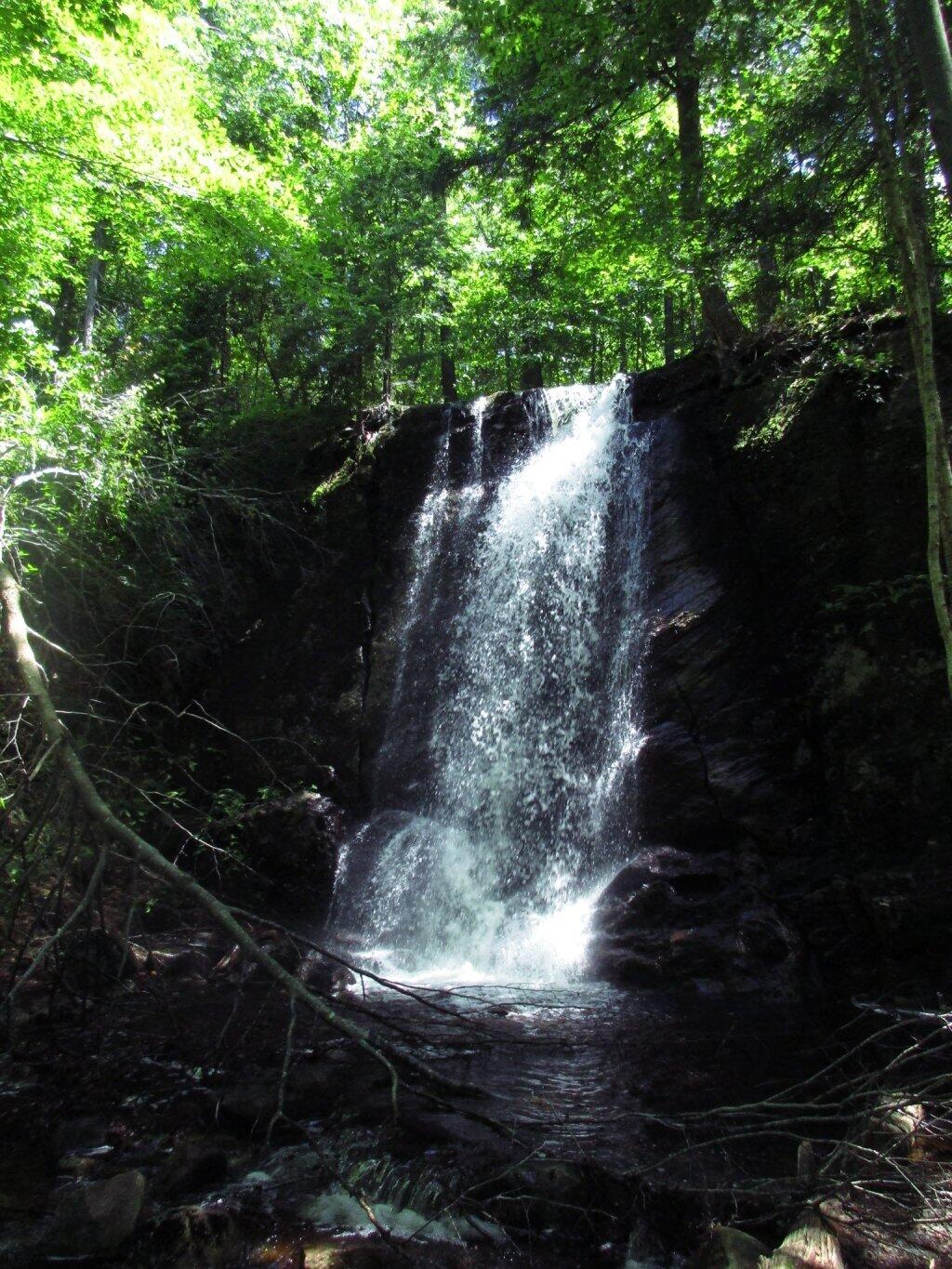
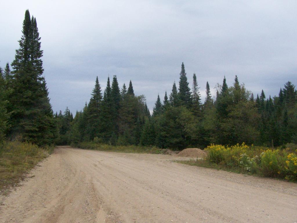
Wilcox Lake Wild Forest.
The Adirondack State Land Master Plan describes Wild Forests as:
A wild forest area is an area where the resources permit a somewhat higher degree of human use than in wilderness, primitive or canoe areas, while retaining an essentially wild character. A wild forest area is further defined as an area that frequently lacks the sense of remoteness of wilderness, primitive or canoe areas and that permits a wide variety of outdoor recreation.
Those areas classified as wild forest are generally less fragile, ecologically, than the wilderness and primitive areas. Because the resources of these areas can withstand more human impact, these areas should accommodate much of the future use of the Adirondack forest preserve. The scenic attributes and the variety of uses to which these areas lend themselves provide a challenge to the recreation planner. Within constitutional constraints, those types of outdoor recreation that afford enjoyment without destroying the wild forest character or natural resource quality should be encouraged.
Many of these areas are under-utilized. For example the crescent of wild forest areas from Lewis County south and east through Old Forge, southern Hamilton and northern Fulton Counties and north and east to the Lake George vicinity can and should afford extensive outdoor recreation readily accessible from the primary east-west transportation and population axis of New York State.
It’s not totally clear why the Spitzer and Paterson administrations did not proceed to revise the plans and seek final approval by the DEC Commissioner. Some issues one can think of:
- The issue of controversal proposed road closures under Section 212, especially in the Wilcox Lake UMP. Many residents expressed concerns over certain roads are hearings and comments.
- The issue of road-side camping? Developed facilities shown in maps appear to be incompatible with the seperation guidelines of the APSLMP, especially along Route 8 in Wilcox Lake and Piesco-Powley Road in Ferris Lake?
- The role of ATVs and off-road vehicles in the UMP — should they be allowed? How do they fit in the APSLMP? This was not proposed in the draft UMP, however many in the public have expressed support for such facilities.
It’s too bad that these issues can not be resolved in a way that all sides can agree on. Closing off the campsites and the roads would be a disappointing option, yet at some point the state really should approve a UMP as:
Without a UMP, the management of these Forest Preserve lands can easily become a series of uncoordinated reactions to immediate problems. No new facility construction, designation, or major rehabilitation can be undertaken until a UMP is completed and approved, with current management limited to routine maintenance and emergency actions. A written plan stabilizes management despite changes in personnel and integrates related legislation, legal codes, rules and regulations, policies, and area specific information into a single reference document. Other benefits of the planning process that are valuable to the public include the development of area maps, fishing information handouts, and a greater awareness of recreational opportunities and needs within specific areas of the Adirondack Park. In view of tight budgets and competition for monetary resources, plans that clearly identify area needs have greater potential for securing necessary funding, legislative support, and public acceptance.
Let’s hope there can be some kind of compromise reached, so future facilities and investments can forward on these important pieces of land in the Southern Adirondacks.