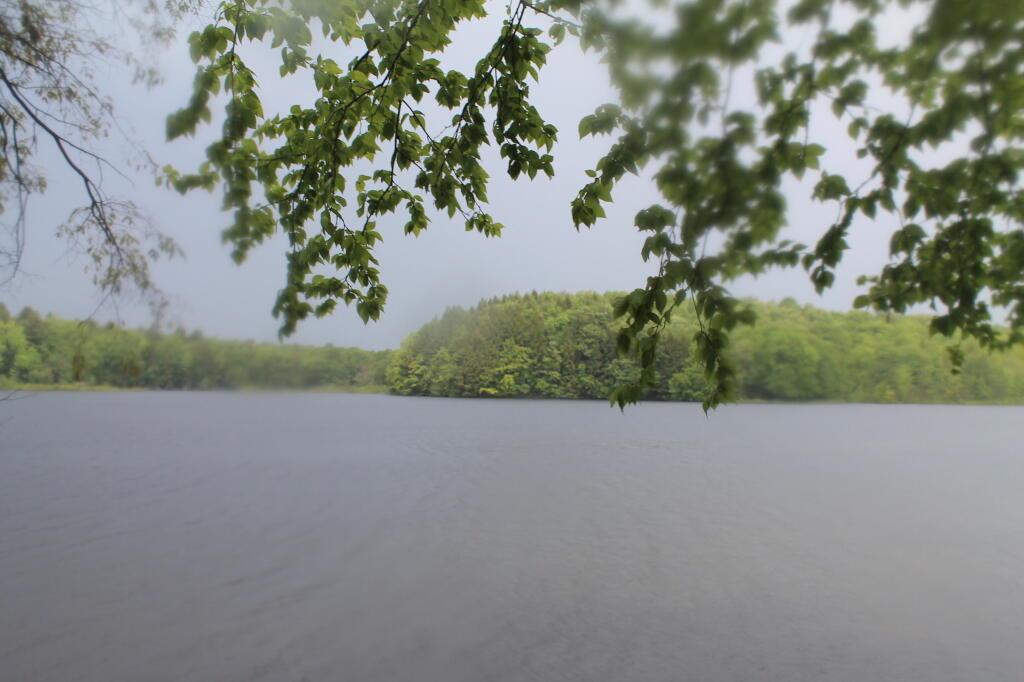
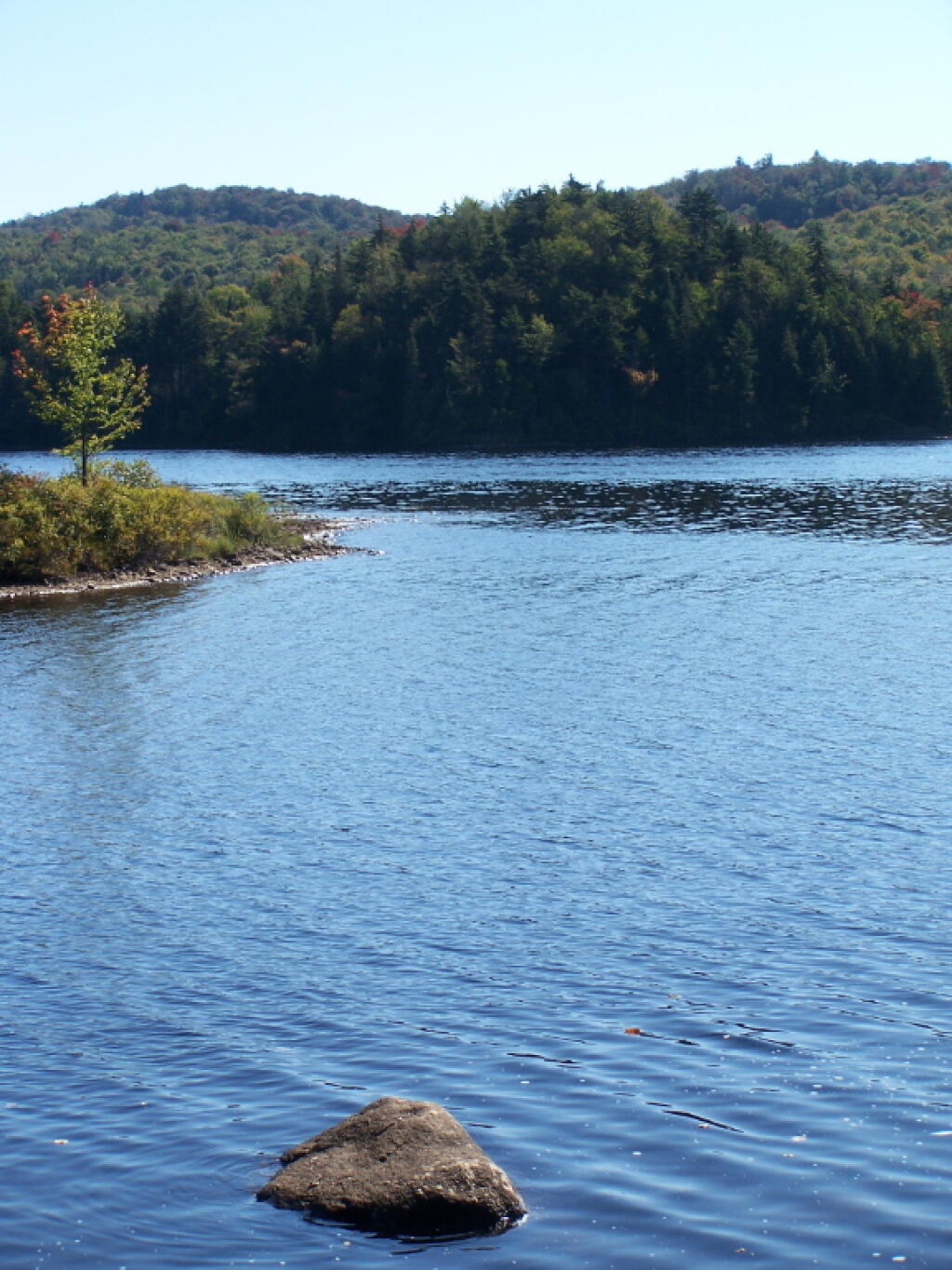
Rockwood Lake
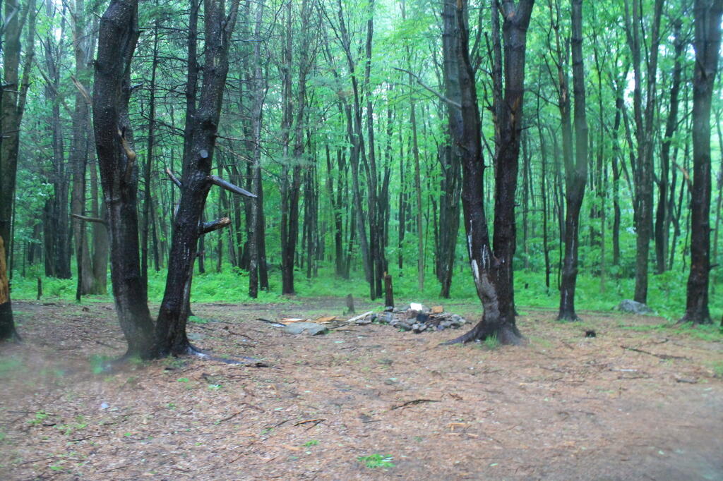
1/4 mile from the lake.
Taken on Sunday June 2, 2013 at Rockwood State Forest.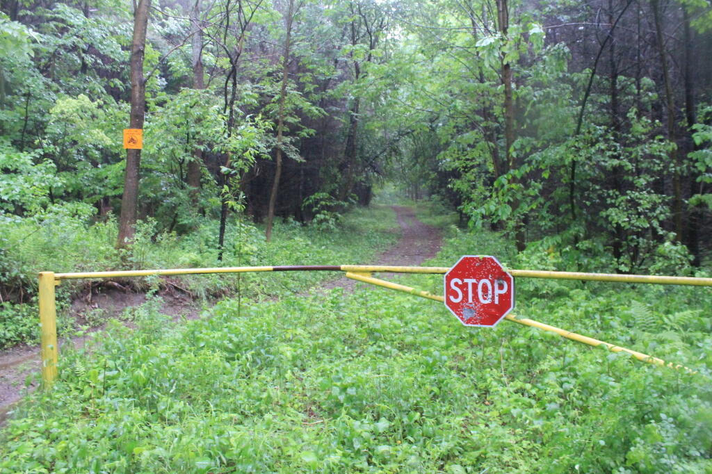
ATV use prohibited? Tell that to country boys and girls around here.
Taken on Sunday June 2, 2013 at Rockwood State Forest.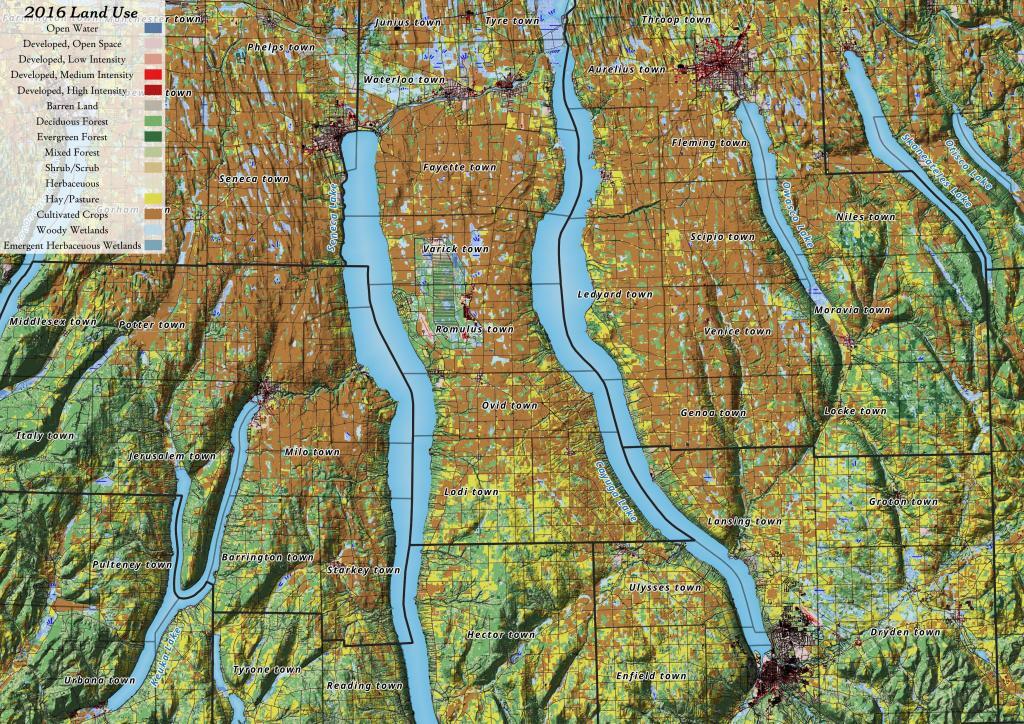
Yesterday, I downloaded the National Land Cover Data for 2016. I had some older data but I hadn't updated it in years, but soon realized I could make some very interesting maps and graphics with this data. The Finger Lakes are kind of interesting to look at in particular as you can see the Northern Finger Lakes have a lot of cultivated lands -- mostly corn and soybeans -- for feeding dairy cattle, while the more upland and rocky lands in the Southern Finger Lakes are either wooded or pasture.
Aggregate mining is an inherently destructive act, one that involves removing non-renewable resources like limestone, sand, and gravel, from deep within the earth. This comes at a heavy cost to the environment and local communities.
Open-pit mining, the type of mining used at the Jamesville Quarry, is exactly what it sounds like — a gaping pit carved out of the land. In the case of the Jamesville Quarry, the land formerly consisted of pristine lakes, gorges, ice caves, and other unique geological features. Now the land is little more than a 1,174 acre trench. Another 1,064 acres is considered part of the quarry.