Search Results for: photo fields along the rail trail

Camping in Green Mountains National Forest

Green Mountain National Forest Camping 🏕

Here is a full-screen interactive map, that uses the official forest service maps as a backdrop. You will need to zoom in to see the individual roads.

In the Green Mountain National Forest there are a variety of back country roads, offering primitive roadside camping.

  • Campsites are free to use, and have no facilities except for a fire ring and a pull-off from the road, and sometimes a site reinforced with gravel.
  • As noted below, some campsites have additional facilities.
  • Don’t make a mess of campsites, pack out any garbage left over.
  • Burn only dead and down trees, don’t bring in wood from out of state.
  • You can camp up to 14 days per 30 day period in Green Mountain National Forest — no permits are required.

Here is a listing of the campsite coordinates in a spreadsheet (Green Mountain tab). Please note, these coordinates are not exact as they are drawn based on memory.

Please see also information on dispersed, roadside and back-country camping in New York State, Pennsylvania and West Virginia.

The below descriptions of camping areas from the Green Mountain National Forest’s webpage, General Forest Camping.

 North Half of the Green Mountain National Forest

Note: You must zoom in to see individual roads on above interactive map. Campsite locations were added by hand-digitizing and are not exact.

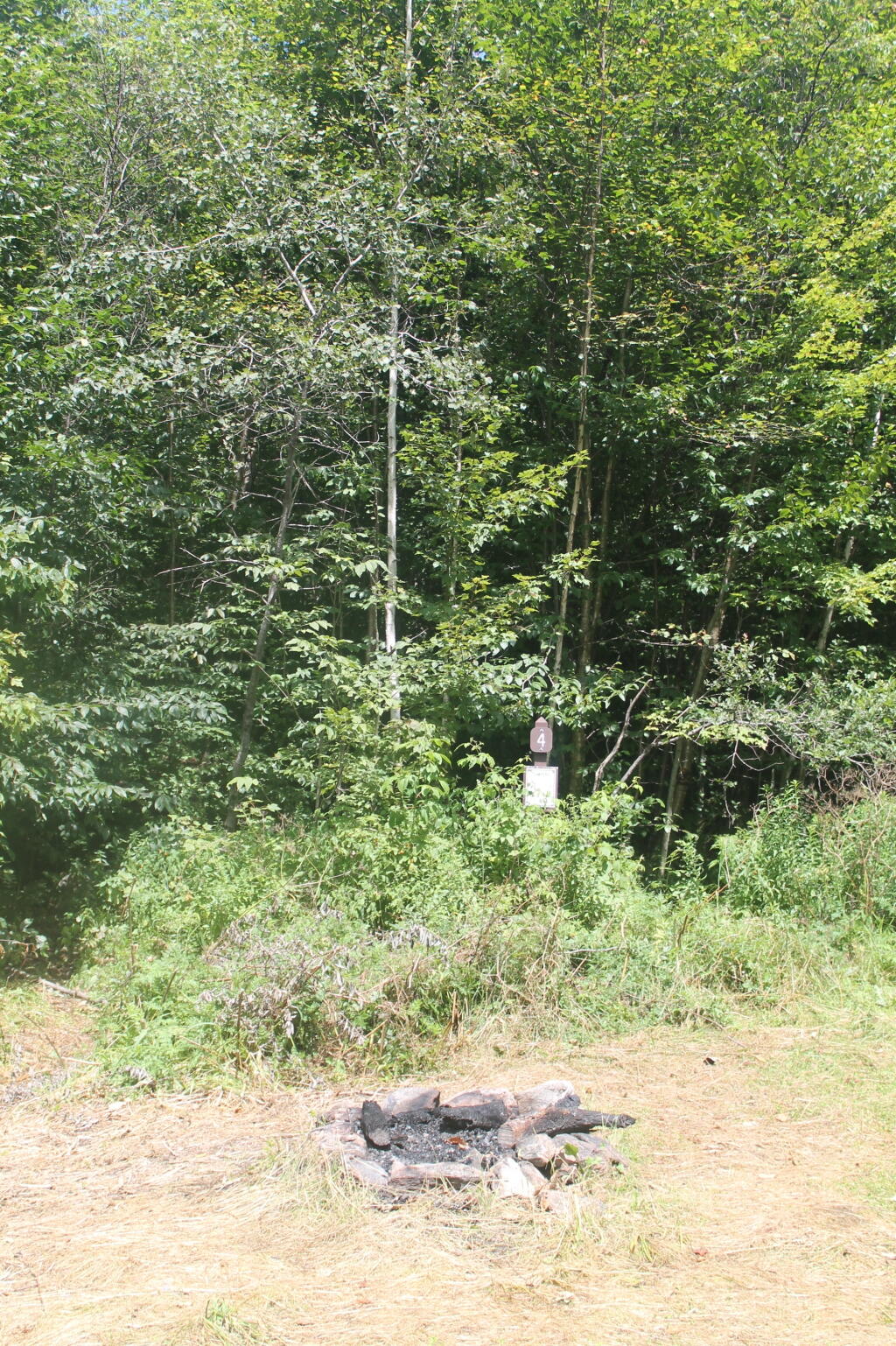
Austin Brook Road: There are three easily accessible campsites by Austin Brook on Forest Road 25 in Warren. They are all within 0.25 mile of State Route 100.

Campsite 4

Bingo: Forest Road 42 in Rochester runs alongside a mountain stream; camping is allowed at designated sites only. These 10 campsites are available on a first-come, first-served basis. There is a limit of 10 people per site. Check the Bingo Brook bulletin board for designated site locations and other site limitations.

Downingville: There is one secluded site in a small clearing near a mountain stream on Forest Road 291 in Lincoln.

Fay’s Meadow: There are a few sites in an open meadow in Forest Dale. Please do not drive on the meadow because a farmer mows the hay from it. There is a stream for wading and fishing at the north end of the meadow.

Goshen Brook Road: There are a few campsites in and around an open area just beyond the turnaround at the very end of Forest Road 67 in Ripton.

Kettle Brook: A small meadow site at the end of Furnace Brook Road in Pittsford.

Michigan Brook Road: Forest Road 35 in Pittsfield provides many camping opportunities in the woods and along Michigan Brook. The road is not recommended for low clearance vehicles.

New Haven River: There are a few campsites next to the New Haven River at Emily Proctor and Cooley Glen trailhead, on Forest Road 201 in Lincoln.

Field Camping at Romance Header Campsite

Romance Header: A large meadow campsite at the end of Forest Road 224 in Forest Dale. A stream lies to the southeast of the meadow.

Sparks Landing: There is one site in a small meadow on Forest Road 233 in Lincoln. There is good fishing in Sparks Brook, which lies just south of the meadow.

Steam Mill Clearing: There is a large open field on both sides of Forest Road 59 at the Skylight Pond Trailhead in Ripton.

Texas Falls Campsite

Texas Gap: These old fields and side roads on Forest Road 39 in Hancock offer many camping opportunities.

White River & Gulf Brook Roads: Secluded camping, open fields, and beautiful views are offered from the abundance of primitive campsites found along Forest Roads 55 & 101 in Granville.

South Half of the Green Mountain National Forest

Note: You must zoom in to see individual roads on above interactive map. Campsite locations were added by hand-digitizing and are not exact.

 Campfire

Branch Pond Road: Several sites on this road off of Kelley Stand offer good camping opportunities.

Making Breakfast at Camp

Forest Road 71: This forest road stretches from the old Somerset airfield to the Kelley Stand Road. Campsites can be found in various spots along the way, and along some of the forest roads leading off of Forest Road 71.

Forest Road 74: This forest road is a little less remote than other roadside camping opportunities. Off Vermont Route 9, it dead-ends a couple miles in. Campsites are found unevenly spaced along the way. This area fills up early as it’s one of most accessible.

Kelley Stand Road: Connects the towns of Arlington to West Wardsboro, traveling along an unpaved forest road. A handful of campsites are avaliable on this road, many of the sites along Roaring Brook are permanetly closed.

Morning

Old Job: Off Forest Road 30 there are a few camping opportunities; an open area along FR 30, and both an open field area and a site near Lake Brook at the end of FR 30.

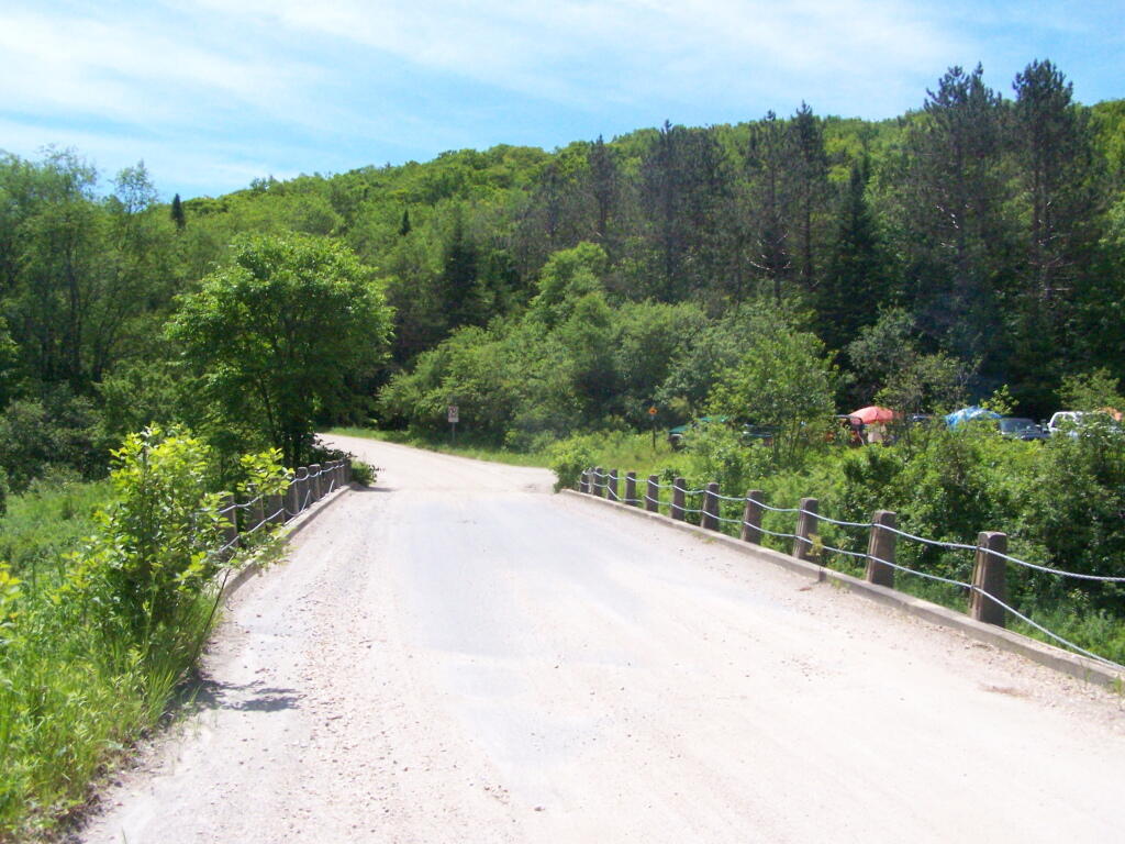
Somerset Road Bridge

Somerset Airfield Campground is a small primitive campground along Forest Road 71. There is a pit-privy and fireplaces in this field camping area. Also popular is Castle Brook Road, near the Deerfield River. This area fills up early, and is known for rowdy crowds but is good if you have a big camper.
August 15, 2020 Evening

Good evening! Cloudy and 70 degrees at the Finger Lakes National Forest. ☁️ There is a south-southeast breeze at 9 mph. 🍃. The dew point is 64 degrees. The skies will clear tomorrow around 5 am.

Final night of summer vacation. 🌃 All things have to come to an end. It’s been a very unusual year with the pandemic smoldering all around the world 🌎 but in some ways it inspired me to find new places to visit and new forms of socially distant recreation. 😷 Without the pandemic I might not have explored the Keuka Outlet Trail or the Catherine Valley Rail Trail or the Catherine Swamp WMA 🐸 and missed some really beautiful and wild country.

I don’t know how I had never driven or walked 🤔 Rock Cabin Road in Watkins Glen but it sure is beautiful. I wish I hadn’t left my binoculars in the truck as the marsh was full of wildlife 🦆 I wish I could have seen up close. It looks like there are some good paddling possibilities from the marsh but I didn’t have time with the threat of thunderstorm ⛈ and the sky getting dark. When I started to hear rumbles and looked at the radar I was concerned but if the weather was bad enough I could have probably thumbed 👍🏻 a ride back to the truck or found a relatively safe low lying place in the marsh or along the road. But it sure was dusty. 🌫️

I had tuna fish 🐠 salad 🥗 for dinner with several beers to wash it down. 🍻 I’ve used up most of the last of the cold food so I didn’t buy ice today. I doubt the mayonese or sliced cheese 🧀 will go bad if it gets a bit warm by evening but if it does its not a big loss. 🔥 Had a nice roaring fire for a while but I’ve let it burn down by bed time. I tried to straighten up camp ⛺ for easier take down after spending nine days at this site. Returned a bunch of cans at Walmart this evening so I have a lot less trash to bring home and I got my deposit back and a fresh case of beer 🍻. I know I won’t be littering and my campsite super clean when I leave.

Tonight will have a chance of showers and thunderstorms, mainly before 9pm. Mostly cloudy 🌧, with a low of 65 degrees at 5am. Five degrees above normal. Maximum dew point of 64 at 6pm. South wind 5 to 9 mph. Chance of precipitation is 30%. New precipitation amounts of less than a tenth of an inch, except higher amounts possible in thunderstorms. In 2019, we had mostly clear skies in the evening, which became partly cloudy by the early hours of the morning. It was humid. It got down to 63 degrees. The record low of 41 occurred back in 1972.

Tonight will have a Waining Crescent 🌘 Moon with 12% illuminated. The darkest hour is at 1:13 am, followed by dawn at 5:46 am, and sun starting to rise at 6:16 am in the east-northeast (70°) and last for 3 minutes and 3 seconds. Sunrise is one minute and 3 seconds later than yesterday. 🌄 The golden hour ends at 6:55 am with sun in the east-northeast (77°). Tonight will have 10 hours and 8 minutes of darkness, an increase of 2 minutes and 32 seconds over last night.

Tomorrow will have a slight chance of showers. Mostly sunny 🌦, with a high of 80 degrees at 3pm. One degrees below normal, which is similar to a typical day around August 18th. Maximum dew point of 64 at 8am. Southeast wind 7 to 9 mph. Chance of precipitation is 20%. A year ago, we had mostly sunny skies in the morning, which became rain by afternoon. It became humid as the day progressed. The high last year was 81 degrees. The record high of 97 was set in 1936.

I am glad that I had coffee ☕ for tomorrow morning. I have to think that I’m an caffeine addict but I’m sure was much happier this morning with my cups of joe. I have muffins for tomorrow which will be good. ☺

I am in no rush to get going tomorrow and packed up and heading home. 🏡 It all will depend if it’s raining ☔ come morning but I’m quite content to lay back in the hammock and read a bit before taking down camp and then doing some of the Taughannock Rim Trail before heading home. Still thinking about going through Marathon and taking NY 23 at least part of the way home. Summer vacation has to come to an end but there are always future trips or so I hope. 🏖 COVID-19 is real and out there, but I tried to stay safe while enjoying the Finger Lakes.

Then it’s back to work Monday 👨🏻‍🏫 but with remote work 🖥️ it’s either a matter of going down to the library parking lot or using my new phone to get done what needs to be done. All the signs point 👉🏻 to a busy week next week but after my week off camping without cell service at camp I’m ready to make it happen.

I was looking and it seems like I need to renew my blog contract 📜 come October. I’ll probably do it sooner than that and do the 3 or more years – whatever is the cheapest rate. 💵 I like doing my blog and while I don’t make any money from it, really isn’t that expensive and it gives me an opportunity to think 🤔 and express my thoughts 💭 and experiences 🌲🌳🌲.

I saw another one of my colleagues bought a house 🏡. Nice mid-century modern house, probably in the more suburban part of the city. ☺️ Yeah, I’m a bit jealous but it’s certainly not may way of living. But I’m only a few steps behind him and if I keep saving and investing I’ll be closer to that goal 🥅. Of course, I think if rather live somewhere surrounded by corn fields 🌽 or forest 🌲, some place small without grid power 🔌 where I can have fires 🔥, shoot guns 🔫 and live the good life without any neighbors to give a damn. With cheap taxes 💰, no special government permission to carry guns 🤠 or improve your land or run my hobby farm 🐐. Land in rural areas is a lot cheaper and freer – especially in other states but it’s hard to make a living in the rural countryside, 🌲🐺🐮🦋🌱 although maybe the pandemic and increased remote work is changing that. ⌨️🖱️

As Malvina Reynolds once sung, “Little Boxes made out of ticky tacky”. If that was my only choice, I’d choose my moldy apartment. 🏘️

While my hammock stinks tonight after getting wet today in the rain and the Martin’s Permethrin I applied earlier in the week being somewhat unlocked, I continue to be very happy 😊 with the replacement hammock I bought more than two years ago to replace the shitty Eno / LL Bean branded hammock that had bad carabiners and then only months later ripped and wouldn’t be warranted. 😯 While I got the LL Bean with credit card reward points 💳, it was expensive and within a year was placed in the camp trash 🗑 and ultimately burnt to a crisp. 🔥 The cheap Chinese replacement I got on Ebay for $15 has lasted more than two years now and is still in good shape. That said, I do like the Eno straps, I still use them today with the China hammock. 🇨🇳 God bless those factory 🏭 slave workers who make quality inexpensive products.

In four weeks on September 12 the sun will be setting in the west (276°) at 7:22 pm,🌄 which is 46 minutes and 14 seconds earlier then today. In 2019 on that day, we had partly cloudy, rain showers and temperatures between 68 and 51 degrees. Typically, you have temperatures between 74 and 53 degrees. The record high of 94 degrees was set back in 1947.

Looking ahead, Average High is 60 🍂 is in 2 months, Northern Zone Regular Season 🦌 is in 9 weeks, Halloween 🎃 and the Blue Moon 🌕 is in 11 weeks, Small Business Saturday 🛍️ is in 15 weeks, Repeal of Prohibition Day 🍺 is in 16 weeks, Bill of Rights Day 📜 is in 4 months, Boxing Day 🥊 is in 19 weeks, Static Electric Shock Day 🧼 is in 21 weeks, National Cheese Lovers Day 🧀 is in 23 weeks, Save the Pine Bush Turns 43 🦋 is in 25 weeks, 5:30 PM Sunset 🌆 is in 27 weeks and Snow Moon 🌕 is in 28 weeks.

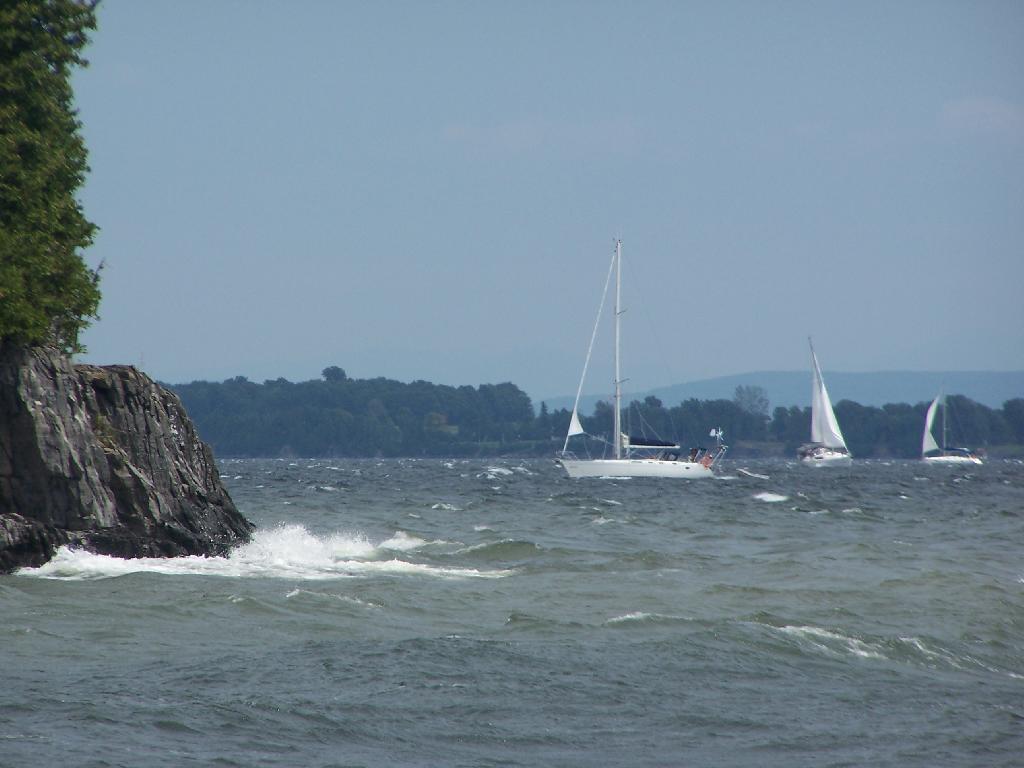
Sailboats Along Grand Isle

Camping Areas in Southern Adirondacks

Camping Areas in Southern Adirondacks ⛺

East Branch of Sacanadaga River, NY 8 – Roughly 10 campsites along NY 8. These are easily accessed throughout the year, as the road is plowed except when the snow banks are high during the winter. East Branch is not good for fishing due to wide variance in water levels, however there are some nice pools in sections of river for summer swimming. Lots of road noise. Some of the sites have cell service. Nearby locations include Cod Pond, East Branch Trail and Kibby Pond Trail.

Edick Road – There are a handful of very hidden campsites off of Edick Road. This road may be closed to vehicles due to wash outs autumn 2019, but worth a walk to explore this area.

Fawn Lake – A 1/2 mile hike back to a scenic lake ringed by primitive campsites outside of Lake Pleasant. Two miles beyond it is the scenic Willis Vly, which doesn’t have developed campsites but it’s remote wilderness where you might see a Moose or other wildlife.

Garnet LakeTent sites, some with drive-up access along the lake. No cell service, much of the upper road here is not maintained in the winter. Popular in the summer, no cell service.

Good Luck Lake – Scenic lake off of the West Branch Sacanadaga River that is ringed with tent sites that can be walked in from the Good Luck Lake parking area area or paddled in.

Hope Falls Road – Two or three campsites along the end of Hope Falls Road, some are drive-in only tent sites. Near the Tenant Creek Falls Trail. No cell service. Open June to autumn snowfall.

Harrisburg Road – There is a set of very rustic designated campsites along the rough Harrisburg Road past Harrisburg Lake. Somewhat near Crane Mountain, a couple mile hike to and Wilcox Lake. No cell service.

Lester Flow and Cheney Pond – Scenic lake that is popular for paddling. The 1/2 mile road down from Boreas Road as of June 2020 is closed due to washouts. Tent sites exist along the lake, along with one drive-to site on the road down there.

Mason Lake – Small lake located about 10 miles north of Speculator and 5 miles south of Lewey Lake that has several tent and drive-in campsites along it’s shore. Good to fair cell service here. Nice to hear loons, one of the best bass ponds in the area.

North Lake Reservoir – There are roughly 15 campsites on the east shore of North Lake Reservoir. Popular place in the summer, regularly staffed by conservation students. Noise from motorboats. No cell service. Nice if you want to camp right on water, hear loons at night..

Northwood Club Road – In Minerva, this road crosses the Boreas River and has several roadside campsites, and passes by Huntley Pond, the NL Tahawus Railroad (which can be hiked to the Boreas River at Hudson River), and the Blue Ledges on the Hudson tailhead.

Perkins Clearing – Conservation easement lands. Good to fair cell service here. Great place for hunting and wildlife observation as it’s mixed timber country. Near Mason Lake, Speculator, Pillsbury Mountain and Cedar Lakes.

Piseco-Powley Road – A dozen campsites along a 13 mile road with short hikes including Big Alderbed, House Pond, Sand Lake and the popular Potholers/Brayhouse Brook waterfall for swimming. As of June 2020, road is closed in Stratford/Fulton County portion, road is open north of Potholers/Brayhouse Brook (access via Piseco). Very limited cell service here.

Pumpkin Hollow Road – Three campsites above Willis Lake. Remote country except for the site on Willis Lake, no cell service. On the Willis – Wilcox Lake Trail. Very quiet area. Open June to autumn snowfall. No cell service here.

Rockwood State Forest – Three campsites along the end of Church Road which can be accessed by driving past the cemetery in the hamlet. Scenic lake, good fishing. Cell service available, but bring a trash bucket and gloves as litter can be a problem. Nice trails to stroll around in the old Rockwood Estate.

Stewart Landing – There are four campsites on a rough road that loops off of Stewart Landing Road. Popular area in the summer, Canada Lake is great for paddling and informal swimming. Also consider hiking back to Hilderbrandt Vly and Glassgow Lake from here. Moderate to poor cell service here.

Vanderwhacker Road -Five or six campsites exist along Vanderwhacker Road, which can be muddy in the spring and icy in late autumn. Additional designates campsites exist near where NY 28N crosses the Vanderwhacker River. Near the trail to the Vanderwhacker Firetower, No cell service.

White House, Wells – A grouping of 5 or 6 campsites at the end of White House in West River Road. Scenic area, old camp, with fields and a chimney. Campsites are kind of close together, not a wilderness experience. Near the North Country Placid Trail, lots of blueberries in mid-summer. No cell service. Open June to autumn snowfall.

Woodhull Lake Reservoir – Off of NY 28 in McKeevers, about 10 miles south of Old Forge. Not only is this beautiful reservoir to paddle, there are some campsites along the shore, with drive-to campsites along Wolf Lake Landing Road which leads to it. Part of Wolf Lake Landing Road is erroded, but other parts are fresh stone-dust. It’s remote wilderness but there good cell service in mcuh of the area.

February 2, 2020 10 AM Update

Good morning! Happy Ground Hog Day 🐻! Like a true Ground Hog Day I decided to walk out to Five Rivers Environmental Education Center 🐸 two days in a row. The rail trail is fine but there is more nature and bathrooms 🚽 at Five Rivers to take a piss. Plus hiking along 443, is always an adventure in its own right. Next Sunday is the Snow Moon. 🌕 Partly cloudy and 33 degrees at the Five Rivers Environmental Education Center. ⛅ There is a west-northwest breeze at 5 mph. 🍃.

Been feeling a lot better lately 👍 ever since the Lyme Disease symptoms have gone away. They didn’t disappear instantly when I got off the medication 💊 but two or three months out they’re totally gone and I’m enjoying doing a lot more walking. 🚶 The bicycle is fine 🚲 but walking is better for the whole body. 💪

Had some really blue skies and sun ☀ around 8 AM but by the time I started hiking out to Five Rivers for the second time this weekend it started to cloud up. But I like listening 👂 to the birds 🐦 and observing nature. I figure it might not be that nice come this afternoon. I also have some stuff I want to work on at the Bethlehem library before going out to the folks house this afternoon. 👪

Today will have a slight chance of snow before noon, then a chance of rain and snow after 2pm. Mostly cloudy 🌧, with a high of 38 degrees at 1pm. Six degrees above normal, which is similar to a typical day around February 26th. Southwest wind around 6 mph. Chance of precipitation is 30%. Total daytime snow accumulation of less than a half inch possible. A year ago, we had partly cloudy skies in the morning, remaining cloudy in the afternoon. The high last year was 32 degrees. The record high of 53 was set in 1981. 11.9 inches of snow fell back in 2015.❄

I went shopping 🏪 yesterday and washed my truck in the evening 🚘 so I don’t have to do that today. Also got gas for Big Red, ⛽ thirstier than I thought but I haven’t gotten gas in about three weeks. As I said earlier, I do want to get down to the library books later on to do some work on the internet but I guess I can do it at my parents house 🏡 if it looks like it will pour this afternoon.

Solar noon 🌞 is at 12:10 pm with sun having an altitude of 30.5° from the due south horizon (-40.4° vs. 6/21). The golden hour 🏅 starts at 4:29 pm with the sun in the west-southwest (241°). 📸 The sunset is in the west-southwest (248°) starting at 5:07 pm and lasts for 3 minutes and 9 seconds with dusk around 5:39 pm, which is one minute and 18 seconds later than yesterday. 🌇 At dusk you’ll see the Waxing Gibbous 🌔 Moon in the south-southeast (151°) at an altitude of 61° from the horizon, 246,044 miles away. 🚀 The best time to look at the stars is after 6:14 pm. At sunset, look for possible rain showers 🌧 and snow showers 🌨 and temperatures around 35 degrees. Won’t freeze on the road most likely. There will be a southwest breeze at 5 mph. Today will have 10 hours of daytime, an increase of 2 minutes and 21 seconds over yesterday.

Yesterday I was in the Five Rivers discovery center, studying the bird 🐦 name display. All of the birds listed are incredibly common locally and I probably could identify most by memory but I’m not sure if I would be able to do it as part of a quiz show. 💭 I really should study up on bird and plant 🌿 identification.

I didn’t do a blog post last night as I was tired 😴 and there is a bug in the code that is keeping me from using the blog template at the first and last quarter 🌗 moon. I upgraded to a new library for moon phase predictions after the Navy stopped posting their moon tables as part of their website redesign. Plus I got reading 📖 that book about the loosing presidential candidates and how their losses changed America.

Tonight will snow likely, mainly before 11pm. Mostly cloudy 🌨, with a low of 30 degrees at 9pm. 15 degrees above normal, which is similar to a typical night around March 27th. South wind 5 to 8 mph becoming west after midnight. Chance of precipitation is 60%. New snow accumulation of less than a half inch possible. I think it’s going to mostly be a nuisance snow if even that. In 2019, we had cloudy skies in the evening, which became partly cloudy by the early hours of the morning. It got down to 31 degrees. The record low of -18 occurred back in 1955.

🌹🌻🌼Only 46 days remain until the first day of calendar spring!🌹🌻🌼

That’s roughly six weeks away but the Ground Hog 🐻 is calling for an early spring. I have my doubts, I bet it will get cold by late February or early March but things could change. Varmints have a mixed record on predicting the weather, they’re much better at breaking tractor axles 🚜 and legs. Kind of like the mafia but more agricultural, digging holes in farm fields and eating crops. 🌽

Been continuing to research picnic table tents 🎪 to use during Memorial Day Weekend and my summer camping trip. While I hate to acquire more gear to store, maintain and ultimately dispose of – it would be nice to have a good sheltered place from the black flies in the spring and rainy days in the summer. Or even for camping in a site with limited shade and trees to hang stuff from. Where I can sit with a book or cook sheltered. 💭

As previously noted, next Sunday is the Snow Moon 🌕 when the sun will be setting at 5:18 pm with dusk at 5:48 pm. On that day in 2019, we had mostly sunny, snow showers and temperatures between 31 and 20 degrees. Typically, the high temperature is 33 degrees. We hit a record high of 57 back in 1925.

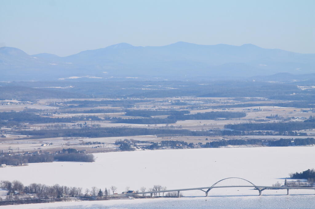
Addison County Vermont

Best Part of Green Lakes Park

While everybody goes to the lakes at Green Lakes State Park, I often think the best and least known part of the park is the Bird Conservation Area to the west of the developed park.

There are many trails that traverse the open fields, abundant with wildlife — tonight alone I saw several does, rabbits, geese, and many birds. It’s quiet, lacking the crowds that are common in other parts of the park. Great views from the ledge on the old gravel mine and easy parking along NY 290.

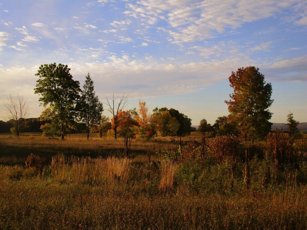
 Autumn Skies

June 2, 2019 Night

Good evening! Partly cloudy and 61 degrees in Dormansville, NY. ⛅ There is a west-northwest breeze at 9 mph. 🍃. The dew point is 56 degrees. Not a terrible evening but the temperature is dropping quickly after a pretty warm day, especially mid-day. It didn’t get up to 80 degrees in my apartment today, but it did play around 79.5 degrees or so. Close enough, I guess. It wasn’t a bad weekend for sticking in town, and I got done the things that I needed to get done this weekend. Tonight, I’m staying over at the parents house with my truck camper. It’s a bit chilly of an evening, but not that bad.

It was kind of a busy weekend for me with all my projects, so I didn’t get out and do much big hikes,🚶in part because every time I wanted to go out it looked like the sky could open up any minute.⛈ I kind of got wet last night doing my evening walk, but it was nice earlier in the day on Saturday hiking in the Pine Bush, despite all of the stress of figuring out the battery thing and trying to return the hammock. 🌲 Those fields of lupine where beautiful! I accomplished most of my goals for the weekend. A few work things too, but  they weren’t a big hassle and are just part of doing business this time of year.

Tonight will be partly cloudy 🌤, with a low of 48 degrees at 5am. Five degrees below normal, which is similar to a typical night around May 20th. Northwest wind 5 to 9 mph becoming calm after midnight. In 2018, we had partly cloudy skies in the evening, which became cloudy by the early hours of the morning. It got down to 58 degrees. The record low of 36 occurred back in 1986.

Tonight will have a New Moon.🌑 The Strawberry Moon 🌝 is in 2 weeks. The sun will rise at 5:20 am with the first light at 4:46 am, which is 26 seconds earlier than yesterday. 🌄 Tonight will have 8 hours and 52 minutes of darkness, a decrease of one minute and 9 seconds over last night.

Tomorrow will have isolated showers after 2pm. Mostly sunny 🌞, with a high of 61 degrees at 1pm. 14 degrees below normal, which is similar to a typical day around April 22nd. West wind 8 to 18 mph, with gusts as high as 30 mph. Chance of precipitation is 20%. A year ago, we had mostly sunny skies. The high last year was 76 degrees. The record high of 97 was set in 1925.

Today I added EEPROM functions to my display in my bedroom, adding the ability to record the daily high temperature and low temperature, along with maximum dew point and all time high and low. I also finished soldering on the waterproof temperature probe which I hooked up outside my bedroom 🌡– and downloaded the libraries that I will need to make it work.⚙ I’m hoping to find some time to write code to add those functions to my display. I also ordered a few barometric pressure sensors from China (42 cents a piece!) as it would be nice to have that on my display in my bedroom — I”d like to be warned when a storm is approaching and the pressure is dropping, and likewise when fair conditions are expected. Sure I could get that information from the Internet and feed it into the display, except I choose not to have Internet at home except for my smartphone. Could I write an Android app to beam that up to my display — probably — but I don’t feel like digging that deep into the API.💻 It’s kind of a crude display, but I find it entertaining to have all kinds of facts and silly quotes and the alike beaming across my room to my bed.

I didn’t have a lot of new and exciting content for the blog, although I did post a bunch of essays I’ve been working on over time, some of them a bit more political, but that’s fine. Tonight I tried to catch up, with a bunch of new content. I like to share my thoughts, and if they aren’t for you, that’s fine, feel free to skip on past them for other content or filter out just the maps and photos. I installed that second battery in my truck, which should make for much better results when doing extended camping trips, especially in shaded campsites. I probably should re-work or make some more maps up, but I’m kind of running out of ideas for maps for New York and I don’t really want to gather all the data necessary to make maps up of other states, especially places I don’t know well.🗺

I am very happy with how things are preforming with the second accessory battery in the truck, as I noted earlier. 🔋 While I haven’t really stressed the system yet with a heavy load at camp, it does seem like things are working really well, with stable voltages in the truck cap, and lots of storage so I should be able to go multiple nights, even in cloudy or rainy weather without having to start up the truck. Many times, especially when driving on nice days with the kayak off the roof of my truck, I think I’ll be able to leave the accessory power for the truck cap, CB radio, phone, and dashcam entirely disconnected from the alternator — solar does everything. That will keep the batteries from being overcharged or unbalanced and minimize the load on the alternator. I’ve notice no odors or issues from the battery being located in my sleeping unit.

Next weekend looks like it might be perfect weather-wise. 😎 Next Saturday, sunny, with a high near 76. Maximum dew point of 52 at 7pm. Next Sunday, partly sunny, with a high near 75. Maximum dew point of 56 at 5pm. Typical average high for the weekend is 76 degrees. I’m not planning to head out of town next weekend but I could change my mind. I’m thinking in participating in one of the trail day events, and maybe the Gas Up on Sunday. I could go out camping but I think I’d rather wait. I’ll have o think about it some more, but I expect a busy week this week, so I don’t want to be running around to head out of town this weekend. Plus, I honestly don’t trust we will have real nice weather by next weekend, as the forecast will certainly shift downward, as so often happens with the weekend forecasts lately. I guess I could head out of town next weekend, but I just don’t see it likely, as I kind of want to be home early on Sunday as Monday is my oil change/tire rotation day (NOT a SESSION DAY!).

I’ll have to research some hammocks to replace the ripped one. I’m very disappointed about the quality of the LL Bean one I bought but I’ve seen a lot of affordable options on the Internet — affordable for me being sub-$50. If you pay premium, you’d hope they stand behind their products. But corporate profits are more important now. I probably would like to have to relax and maybe camp in by the next time I head out of town in two weeks or so.💤 The one I had was a disaster ever since I bought it, so I’m going to look at alternatives. I have the straps and the carbineners, so I just need the hammock itself. And I like the hammocks enough, that even if I have to replace them time to time, I guess it’s worth it. Maybe I’ll be gentler on my next one. Figuring gasing up my truck costs over $60, I can’t complain that much about other ordinary camping expenses.

The stuff I’ve bought from LL Bean lately has been all crap lately,💩 so I’m thinking I’ll probably just cancel my credit card with them, and take full advantage of the bank rewards card I currently use with the cash back. I’ve earned like $200 in statement credits over the past year with that card — just buying the normal things I buy like gas, food and supplies, and I don’t spend a lot of money.💳 It’s not a lot of money, but it’s still nice to gather a few pennies for things I was going to buy at rate. I don’t go out of the way to get rewards, I just buy the ordinary stuff I need to live. It’s nice it’s just points that I can convert to statement credit on my card — and it’s real money used to pay my purchases. Not a lot, but every buck helps.

In four weeks on June 30 the sun will be setting at 8:37 pm,🌄 which is 9 minutes and 36 seconds later then tonight. In 2018 on that day, we had hot, humid weather with mostly sunny skies and temperatures between 94 and 64 degrees. Typically, you have temperatures between 81 and 60 degrees. The record high of 98 degrees was set back in 1964.

Looking ahead, Fathers Day 👨 is in 2 weeks, National Nude Day 👱 is in 6 weeks (skinny dipping is fun), Sunset Before 7:30 PM 🌆 is in 13 weeks, Labor Day 👨‍🏭 is in 3 months, Autumn 🍂 is in 16 weeks (yeap, it’s coming) and Average High is 60 🍂 is in 19 weeks.

Sandy Bank of Cheney Pond

Gorging on Gorges, An Adventure, Day 1

About a month ago, I took a trip I gave the name “Gorging on Gorges”. As the name would suggest, most of the trip involved visiting various gorges, taking photographs of them, and otherwise exploring them. About half of them I had previously been to, while the rest were new. I also visited several other state parks, state forests, and national forests – and did something I haven’t done in a long time – camped one night in a developed campground.

Towards the Park

I started out my trip from Albany, taking US Route 20 West from I-88. I really wanted to avoid expressways for the bulk of my trip, is my general view is that expressways are the best way to get across America without really seeing anything. It’s more then a philosophical argument for me – what’s the purpose of a vacation if your rushing from point “A” to point “B”.

The first part of the trip, I drove to Chittenango Falls State Park via Nelson and beautiful farm country so high above. I walked down into the gorge, and up and around the falls. The color was somewhat muted, but it still was quite pretty. Then I headed off, taking some side roads as recommended by my GPS’s most direct route, and ended up passing a few miles from Labrador Hollow and the beautiful Labrador Pond, and said, heck, I got to stop on by there.

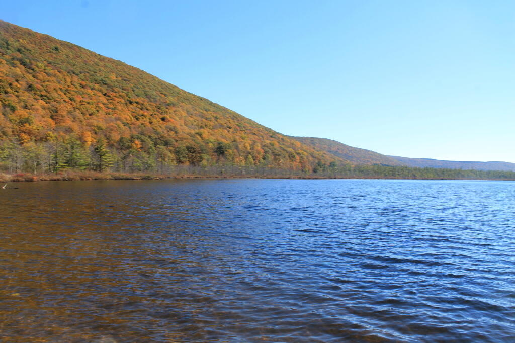
I drove down to Labrador Pond parking area, and hiked down to the pond. The colors were still not fully-turned on Jones Hill, but on Labrador Mountain were well past peak. Despite the crowds of fall foliage peepers from Syracuse, crowding the area, there were adequate opportunities for solitude. I walked down to the lake, snapped a few photos, then hiked the nature trail/boardwalk. It was nice. It also was great to see the boardwalk being used by a disabled man – he could get out and enjoy nature, despite his difficulties he had walking. One of the large dairies in the area was spreading something on fields nearby, and it sure stunk – it seemed nastier then fermented grain, although that’s probably what it was. Didn’t stick around too long, as I had places to go.

Somewhat Faded Colors

Drove down through Prebles, another deep, rich agricultural valley, dotted by large dairies that take advantage of the area’s rich soils for producing many bushels of corn on each acre. Got held up for about 5 minutes during a paving job, where they had the road restricted to one lane, for what had to been a half mile or so. Noticed how most of remaining trash burning barrels had disappeared from the landscape, that might have only been there 3 or 4 years ago.

Then it was off to Homer, where I passed a moose, made out of welded scrap metal along the road. It was kind of a neat roadside attraction, and I really should have stopped and got a picture, but I had a tight schedule and was burning daylight. I would come to later regret not getting that picture, but heck, I figure I can probably find a picture of it on the Internet using Google Images or Flickr. If not, it will certainly be there, the next time I find myself going through this roadside wilderness.

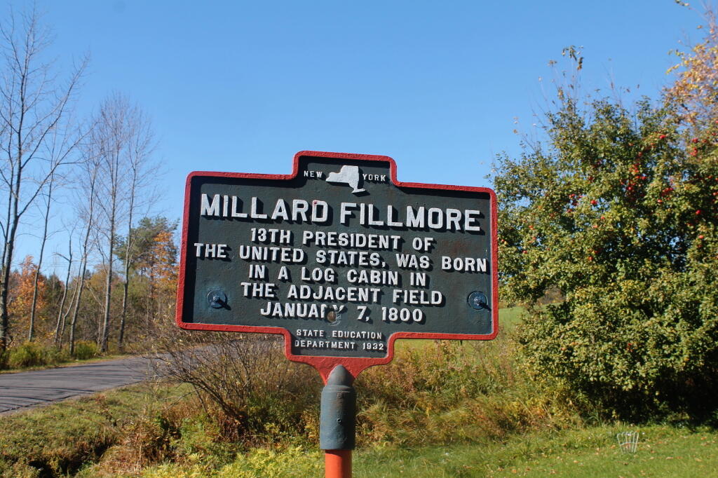
Millard Fillmore Historic Marker

I got lost on my way to Moravia. Not really lost, because I was following the GPS, but because I had programmed the “most direct route” rather then “fastest route”, the GPS.decided to take me up a rough dirt road through Hewitt State Forest. I declined, and eventually the GPS found a new route, that happened to take me past Milton Fillmore’s birthplace. There is now a picnic pavilion and a some landscaping in that location. I turned around, snapped a few pictures, and explored it briefly. I wanted to a get a picture for dad for his historical markers collection.

Then it was off to Fillmore Glen. I was running a bit late at this point, but it’s a pleasant drive down to Filmore. The landscape is pretty rural until you drop, rather quickly into Moravia. Moravia is a pretty, small rural town; the glen is located at far southernly end of the town. There was a bridge being replaced in town, and you had to wait, for what seemed like an eternity for the light to green on the on-one lane bridge.

Finally, I got to the park entrance. The older guy there, grumbled when I said I had an Empire Pass. He was like “where is it – I can’t see it”. The rear window on my truck where the Empire Pass is tinted, but not that dark. I was slightly annoyed that the park entrance guy wasn’t friendly, and I forgot to ask for a map. I was kind of rushing. Got parked, and there was a big wedding going on, complete with horse drawn carriage. Crossed the “Dry Creek” and started up the trail, first to the Cow Shed falls, then decided to take the Northern Rim Trail. It wasn’t apparent at first that it was the rim trail, but I didn’t have a map. I actually printed up a map, and had it my truck, but I of course forgot it.

Small Waterfall in Gorge

The Northern Rim climbs a fair bit, then runs along the rim, with very limited and occasional views. It crosses a pretty little creek that tumbles down the gorge, and eventually leads to a path down to the gorge trail, three-quarters the way up the gorge. I decided to hike down to the gorge trail, and then head back down the gorge towards the parking area. I missed a bit of the gorge trail, and the overlook, but so be it, time was tight.

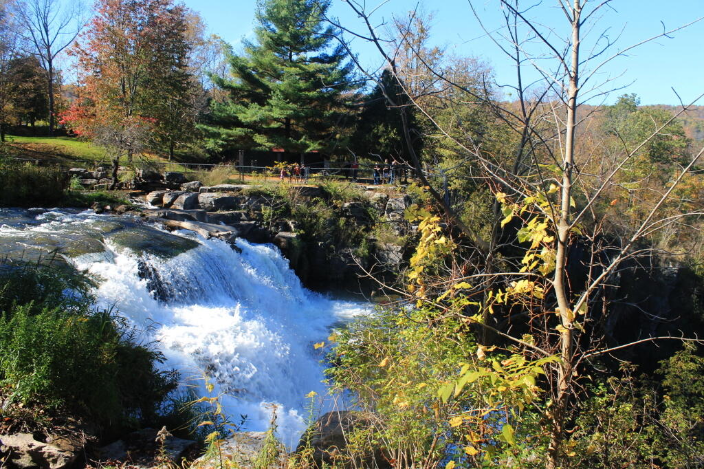
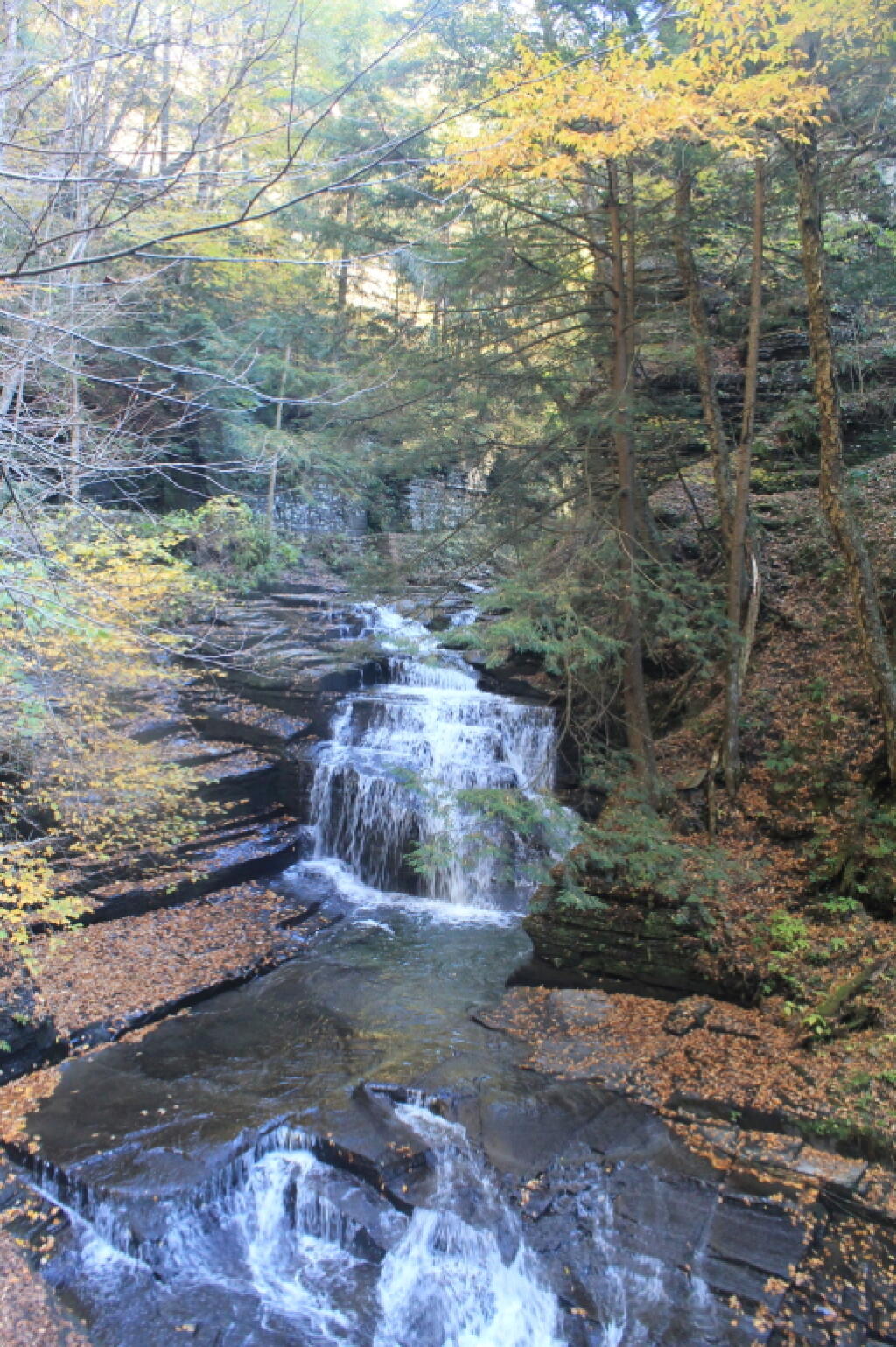
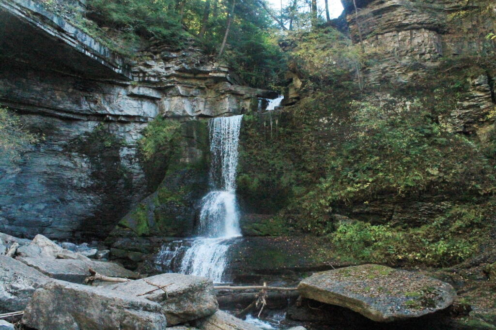
The Gorge trail was scenic, but certainly not the most scenic of gorges. There were several small waterfalls, and some stairs and bridges, although most of the trail was gravel along the edge. The “Dry Creek” had plenty of water, but in general, the gorges was smaller then other Finger Lake gorges. There were several glens of interest, but the most beautiful portion of the glen was the Cow Sheds in the button of the gorge. Cow Sheds falls, are the wider portion of the gorge, where at one time, historically, cows would gather for shelter in severe or cold weather.

Cow Sheds Falls

Snapped a few more pictures of Fillmore Glen, and it was off to Ithaca. I made pretty good time to Ithaca, although I admit I certainly wasn’t poking along. I really should have stopped more places, but I wanted to get to the Finger Lakes National Forest relatively early so I could set up camp and/or make alternative plans should my desired campsite on Chicken Coop Road be unavailable. Passed a giant bull statue on a farm, along NY 38, a few miles south of Moravia. I really should have stopped for a picture, but I was burning daylight, and the Finger Lakes National Forest, was over an hour away. I think this is the one, that the farmer paid like $10,000 to haul from an abandoned Steakhouse in Binghamton to the farm. I am sure the bull will be there for a long time – in case anybody forgot what is raised on farms.

Then it was down to Freeville.. The only thing real remarkable about that town, was the pine barrens and swamps, consisting of heading into it. When you think of the Finger Lakes, you tend to think open landscapes and farms, at least until you get mostly south of them of them, or in the highest points to the west. But not here. The Finger Lakes Trust owns some land, on the north side, where it the land is mostly the backwaters of the Oswaco Inlet.

Finally made it to Ithaca by 4:45 PM. I was lucky at this hour that traffic wasn’t too much of a slog by Ithaca standards, then I was off heading up Trumansberg Road. It seemed like an endless drive. Finally made it to Perry City, and then to the Finger Lakes National Forest. There was no sign of the government closure when I got there, but a bit disappointed, my favorite campsite on Chicken Coop Road was already taken. It was off to campsite on Potamac Road, just past the hunting camp.

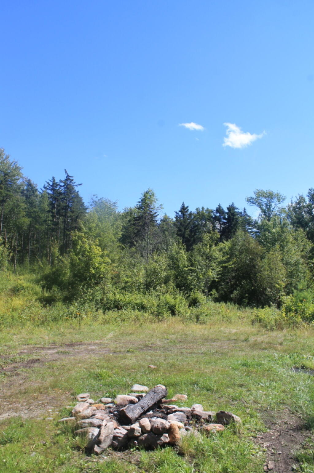
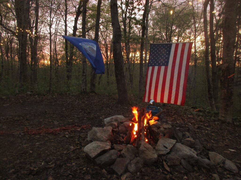
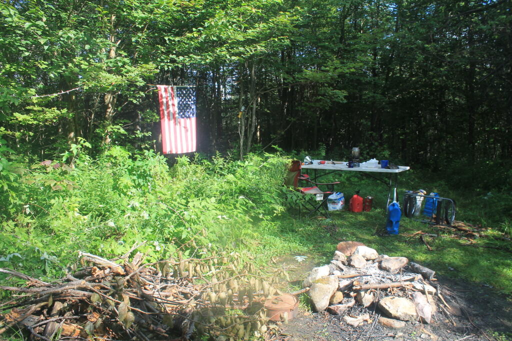
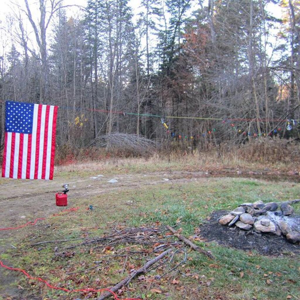
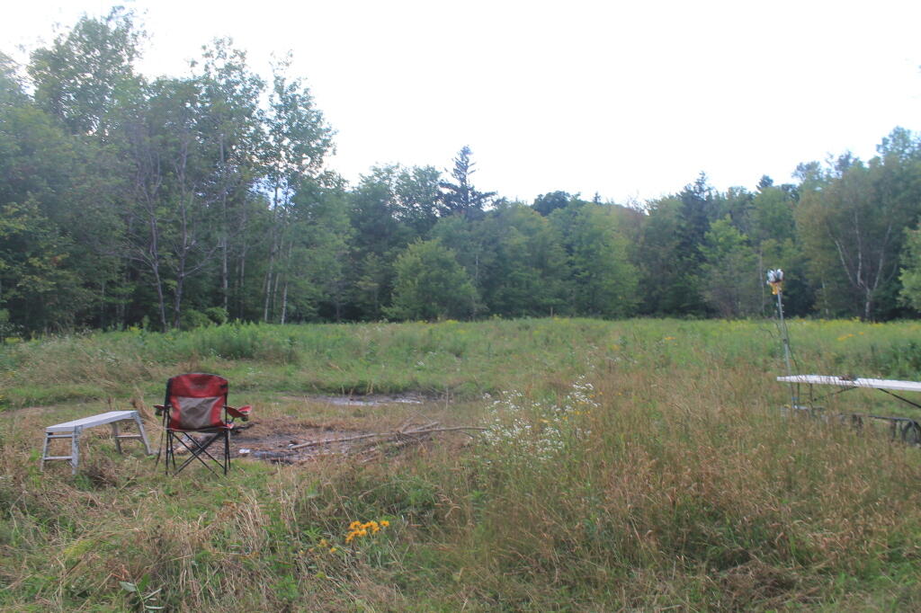
I wasn’t thrilled by campsite, a big field campsite, but it had some trees along one edge for hanging the flag and lights. It was pretty good site for observing the stars, although there was a hunting camp down the road a little ways, so I had to keep the music down. I really don’t want to piss off the hunters. I gathered up some firewood from the woods, and got a fire started. The sun was fading fast, but so be it. I wired up my lights, some Christmas lights, and got the spot light on the flag.

It got dark, and I tuned into the Ithaca Progressive Radio Station, and gazed on the stars for a couple of hours. Nibbled on some snacks, cracked open a beer or two. Tossed some more wood on fire, and was happy to finally be on vacation.

It was a good first day… more adventures to come.