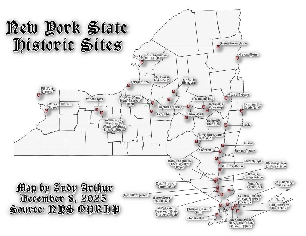
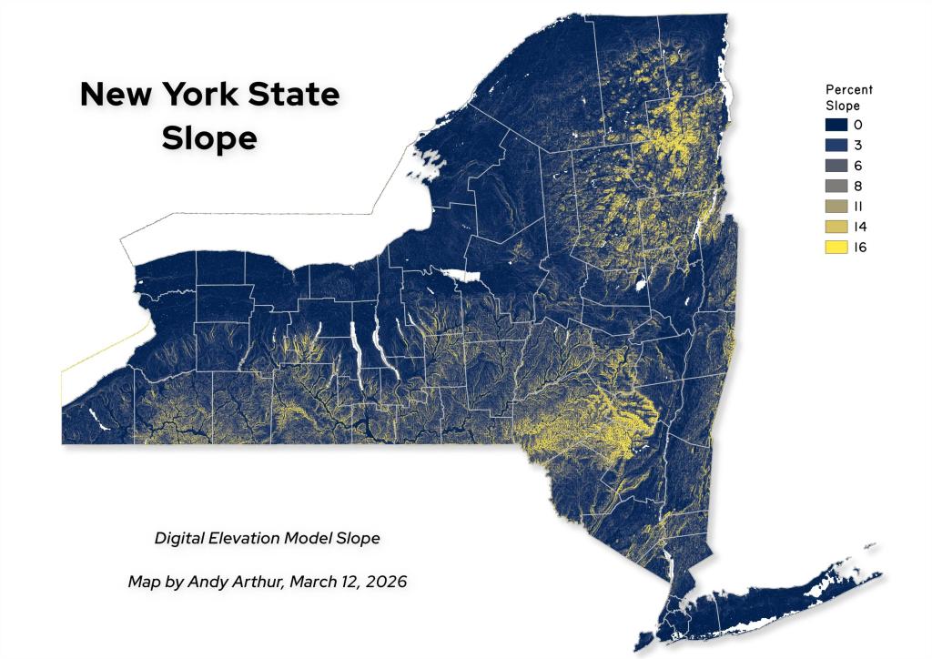
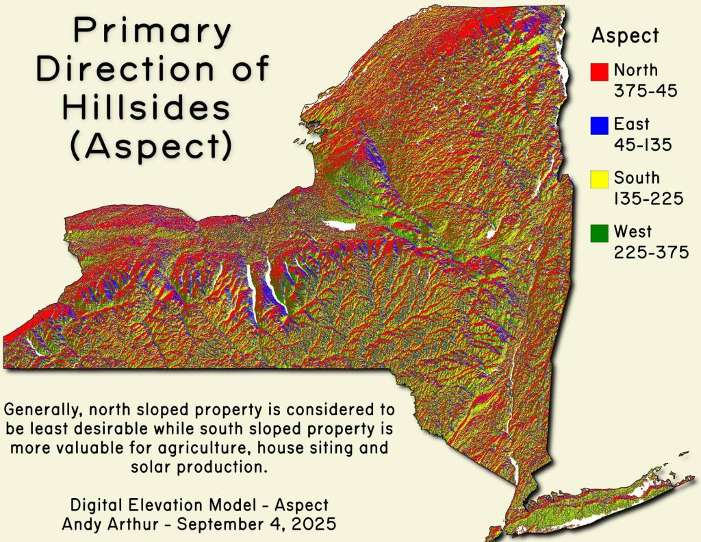
Regional Economic Development Council Regions

Helpful Hint: While I suggest you look on blog for a downloadable PDF Map, you should be able to print or save this map by clicking the print button on the map above.
Data Sources
Google Earth Data - You can download the KMZ File used in creation of this map.
Municipalities - US Census Bureau TIGER/Line. WMS Service: https://tigerweb.geo.census.gov/arcgis/services/TIGERweb/tigerWMS_Census2020/MapServer/WMSServer, Layer: County Subdivisions,Counties
L.esri - US Census Bureau TIGER/Line. WMS Service: https://tigerweb.geo.census.gov/arcgis/services/TIGERweb/tigerWMS_Census2020/MapServer/WMSServer, Layer: Counties,States
States - US Census Bureau TIGER/Line. WMS Service: https://tigerweb.geo.census.gov/arcgis/services/TIGERweb/tigerWMS_Census2020/MapServer/WMSServer, Layer: States
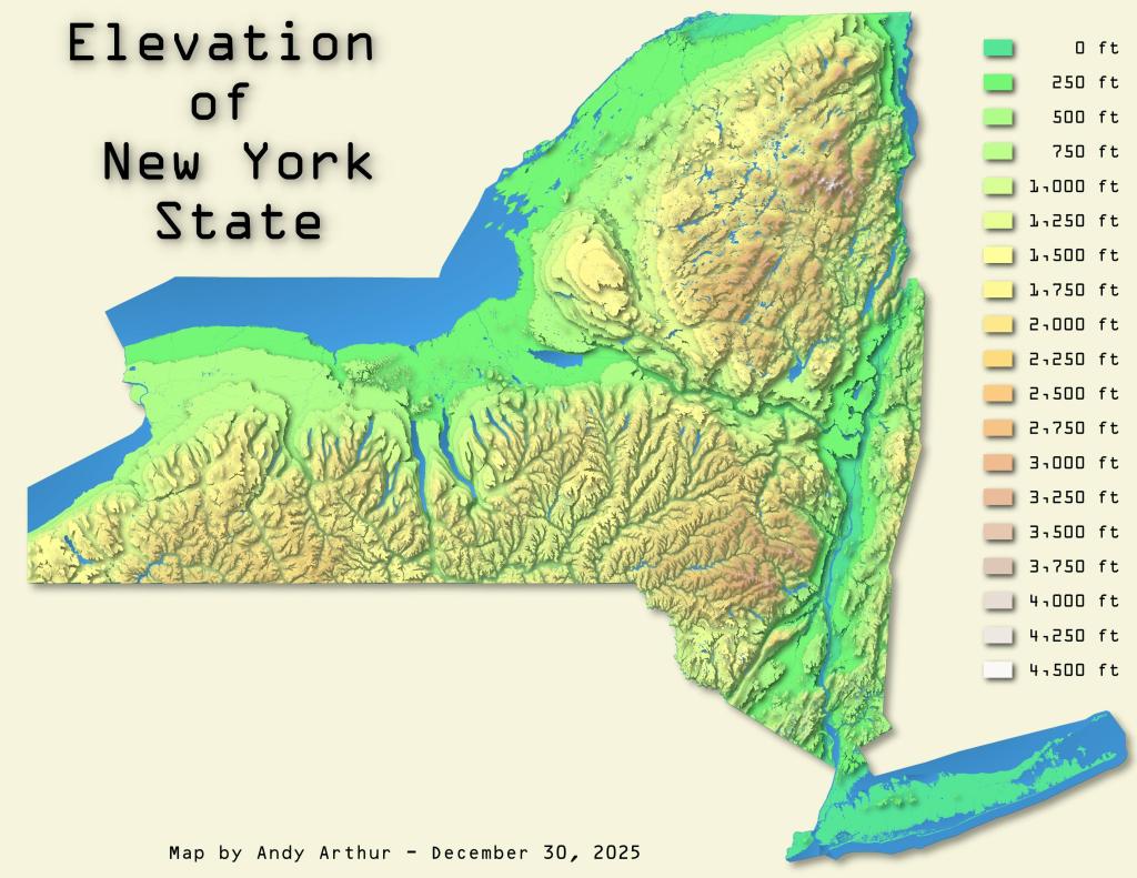
3DEP Elevation Hillshade. LIDAR and legacy USGS DRG Topo Derived hillshades used as a background. DEM - WMS Service: https://elevation.nationalmap.gov/arcgis/services/3DEPElevation/ImageServer/WMSServer, Layer: 3DEPElevation:Hillshade Gray
Full List of WMS and ArcMap Services - CSV Spreadsheet with all web map services currently used on the blog.
More about New York State...
New York is a state in the Northeastern region of the United States. New York is the 27th-most extensive, the 3rd-most populous, and the 7th-most densely populated of the 50 United States. New York is bordered by New Jersey and Pennsylvania to the south, and by Connecticut, Massachusetts and Vermont to the east. The state has a maritime border with Rhode Island east of Long Island, as well as an international border with the Canadian provinces of Ontario to the west and north, and Quebec to the north. The state of New York is often referred to as New York State to distinguish it from New York City.