Good Evening. School is Back. Heat Returns Tomorrow. Went Hiking Saturday. Started on Pennsylvania Maps.
Good Evening! Well we made it through the Monday. Only four more days left until the weekend — although next weekend looks really busy with a class I am taking all day on Saturday, and funeral I have to drive down to on Sunday. But so be it. The following week, I am heading up to Moose River Plains, assuming I can get Thursday and Friday off from work and it doesn’t look like its going to rain. Tired of camping in the rain.
School is Back in Session. Welcome back traffic on the roads. I missed you. And the bus is running late. I am going to start having to catch the earlier bus to work, so I get to work reasonably on time. So it goes. The circle comes back around.
Today’s Nice Cool Weather Should Turn to Sweltering Heat By Tomorrow. I sure like the cool weather, in the 60s and 70s, where I can wear my Carharrt vest and a long sleave shirt, but I also realize, it’s a bit too early for it to be so cold out. We got to go a couple more months before winter comes. No need to rush the fall.
Got My Tire Patched and Back on the Truck. The dang tire was a pain in the butt to get off the truck and back on. It’s so heavy. But $35 dollars later, it’s been patched and I put it back on the truck. It is what it is. Hopefully this will be the last time I run over a nail or screw with my truck.
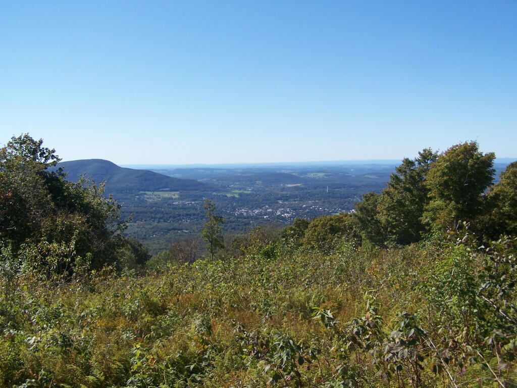
Went Up to Rensselearville State Forest and Bear Swamp. It was a very clear and nice weather by Sunday afternoon, but a little too late to go out to the Catskills, so I decided to head on up to Rensselarville. Hiked around the loop on snowmobile trail in the back off of Rivenberg road, then explored some of the local roads up there that have great views of the Catskills. Bear Swamp was interesting too — I’ve only been back there a few times, despite being within 5 miles of where I grew up as a child.
Started Making Up Some Pennsylvania Maps. While I have pretty good GIS coverage now set up for all of the Commonwealth of Pennsylvania, my first priority will be mostly Allegheny National Forest Maps. My goal is to make high quality maps of the many public motor vehicle roads, with roadside (dispersed) campsites shown to be the best of my knowledge. It’s complicated to get maps set up for different states, as the data sources vary quite dramatically from state to state, but I am getting happy with the results. A few of the new maps will start popping up this week and next — with more refined ones to come in the future.
