Digital Terrain Models
Lately I have been experimenting with digital terrain models extracted from the LIDAR point cloud. It allows me to measure the height of buildings and tree cover and can be used for better 3d modeling.
Lately I have been experimenting with digital terrain models extracted from the LIDAR point cloud. It allows me to measure the height of buildings and tree cover and can be used for better 3d modeling.
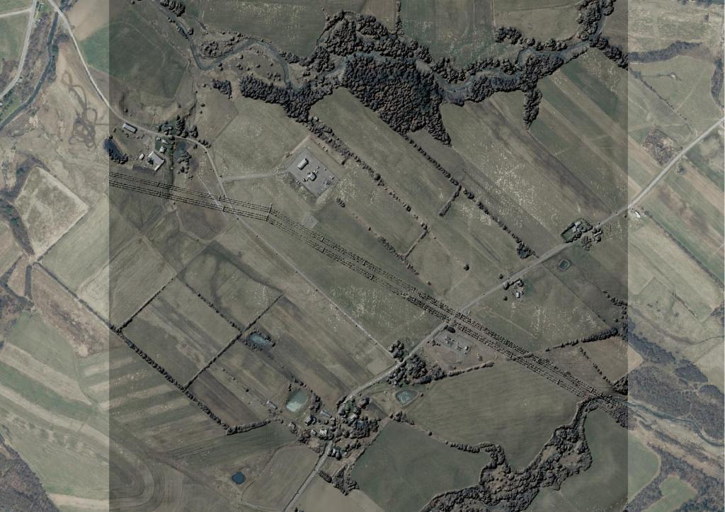
While certainly not a surprise to most observers, the Catskill Mountains are largely wild, without much housing development or agriculture. Tree covered areas are a deeper green, while cleared areas are white or clear.
Find LiDAR Point Clouds on the National Map Downloader: https://apps.nationalmap.gov/downloader/#/
Select Find Elevation Source Data (3DEP) – Lidar, IfSAR
Search for LiDAR Point Cloud (LPC)
Click Export all results as a TXT file and save to a directory.
Then run this Unix command on the text file to download point clouds:
cat data.txt | tr -d '\n' | xargs -d '\r' -I {} wget -c -nc '{}'
Next create a pipeline.txt for pdal with the classification (For DSM, 1 are unclassified points like buildings and treetops, while 2 are ground points, if you want a DEM, you can also make them this way too with Classification of 2:2):
{
    "pipeline": [
        {
            "type": "readers.las"
        },
        {
            "type": "filters.range",
            "limits": "Classification[1:1]"
        },
        {
            "gdaldriver":"GTiff",
            "resolution": 1.0,
            "output_type": "max",
            "type":"writers.gdal"
        }
    ]
}
Next convert the point clouds into digital surface model (GeoTIFF), you can use this shell command with xargs to go over each LAS file, using the above pipeline:
ls *.laz | xargs -I {} basename {} .laz | xargs -P3 -I {} pdal pipeline pipeline.txt --readers.las.filename={}.laz --writers.gdal.filename={}.tif
The above command can be somewhat slow depending on how many LAZ point clouds you need to go through and your selected resolution. -P3 sets the number of parallel process (3) which can help speed things up a bit.
Now we have the digital surface models raster that can be used in QGIS for hillshade for 3D.
Build a virtual raster (dsm.vrt) for easy loading into QGIS rather than loading separate files.
gdalbuildvrt dsm.vrt *.tif
I always think it’s a bit weird that longitude is the x axis, while latitude is the y axis, even though we always write latitude-longitude or y axis, x axis. Doesn’t x become before y?