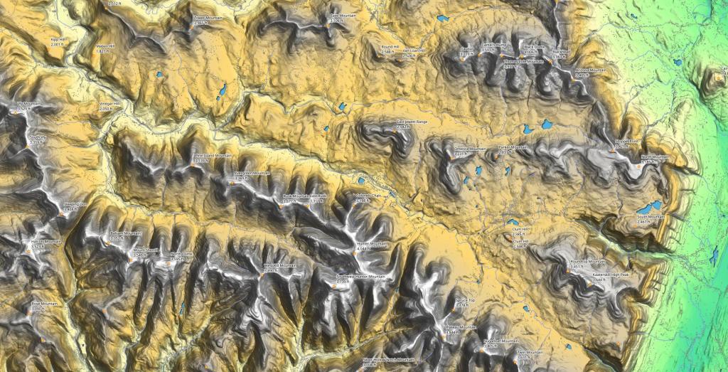
Hunter Area Peaks
This terrain map shows the mountain peaks found around the hamlets of Hunter and Tannersville in the central Catskill Mountains.
This terrain map shows the mountain peaks found around the hamlets of Hunter and Tannersville in the central Catskill Mountains.
A series of topographic maps from the 1920s of the area of the Pepacton Reservoir.
The Devil's Path is a hiking trail in the Greene County section of the Catskill Mountains, sometimes described as one of the more challenging trails. It extends 24.2 miles, gaining 9,000 feet over seven peaks, a low of 2,220 ft at Stoney Clove Notch between Hunter and Plateau Mountains and a high of 3,800 feet on West Kill Mountain.
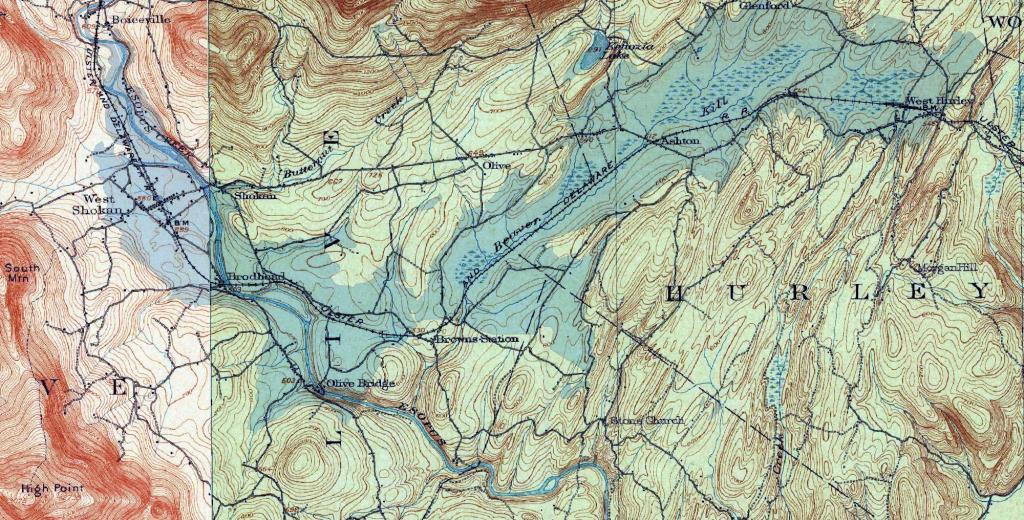
Lately I've been fascinated by the lost communities that were demolished for reservoirs both hydroelectric and water supply. Today we look at the Ashokan Reservoir that was built over the communities of West Shokan, Broadhead and West Hurley.
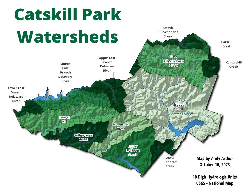
Before the Pepacon and Walton reserviors in the Western Catskill Mountains.