Ferris Lake Wild Forest 📍

Encompassing a vast expanse of 147,454 acres, the Ferris Lake Wild Forest is characterized by the presence of ancient spruce stands. These can be observed along the Powley-Piseco Road, the northern banks of Alderbed Stream, the vicinity of Blind Man’s Vly, and the slopes of both Big and Little Alderbed Mountains. Adding to its allure, the region boasts an array of ponds, lakes, and streams, attracting outdoor enthusiasts and sportsmen year-round.

The Wild Forest accommodates 14.6 miles of hiking trails, along with an extensive 117-mile network of snowmobile trails (many of which are multi-use), catering to various recreational preferences. With 97 primitive campsites, a boat launch, and a boat dock, the area is well-equipped for adventurers. Furthermore, the public can access 10.95 miles of roads, granting motorized entry to this expansive and captivating property.

https://www.dec.ny.gov/lands/114279.html

Download the PDF Map Pack
🗺️ Maps 🖼️ Photos 📽️ Videos

Dexter Lake

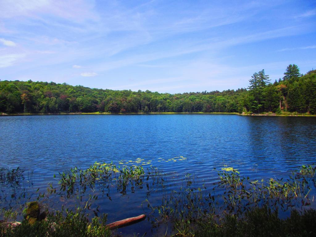
Dexter Lake is one of smaller lakes in Ferris Lake Wild Forest, known mostly for it's heart shape and how it's very centrally located in forest, in pretty remote country. There is one campsite on western shore on the Dry Lake Trail.

Sunday August 15, 2021 — Ferris Lake Wild ForestCrystal Lake And Glasgow Creek Trails 🗺Dexter Lake Trail 🗺Jerseyfield Lake Road Campsites 🗺Jerseyfield Road Campsites 🗺Spectacle Lake 🗺Spectacle Lake Trail 🗺Third Lake Trail 🗺PDF with All Maps 📚
Map: Lester Flow
SVGZ Graphic: UK Commonwealth Realm

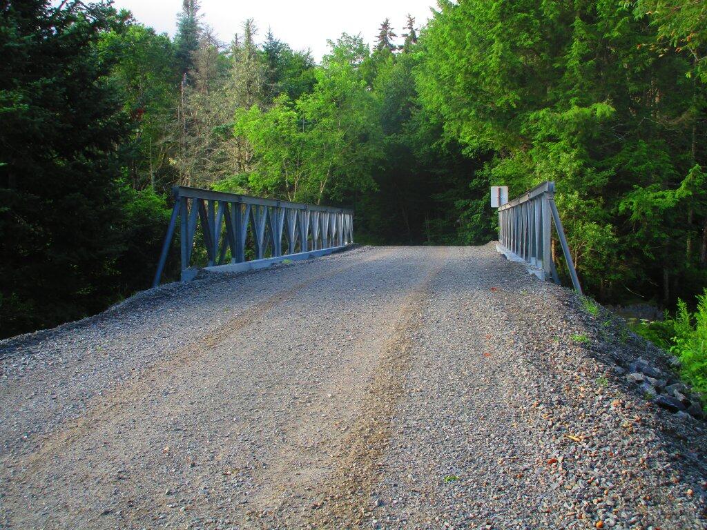
Road Up To New Powley Bridge

Besides the lower bridge on Piseco-Powley Road needing some serious work, they had to replace the deck on the old Powley Place Bridge. The new brridge is much higher then the old bridge -- the old deck is still there, but it's not supporting anything except maybe the substructure banks of the bridge. I assume eventually they will install a permanent bridge here.

Tuesday July 21, 2020 — Piseco-Powley RoadBig Alderbed Lake Trail 🗺Clockmill Corners to NY 10 🗺Edick Road Swimming Hole 🗺Goldmine Stream Falls 🗺House Pond Trail 🗺Lower Powley Bridge to Sugarbush Mountain 🗺Meco Lake Trail (Piseco-Powley Road) 🗺Overview Map Piseco-Powley Road 🗺Piseco Road Swimming Holes 🗺Powley Place - East Canada Creek - Kayak Canoe 🗺Sand Lake 🗺Sand Lake Trail 🗺Sugarbush Mountain to Clockmill Corners 🗺PDF with All Maps 📚
Map: Town of the Tug Hill Region of New York State
Map: Empire State Topography