Road Up To New Powley Bridge 🖼️
Download a High Resolution JPEG Image of the Road Up To New Powley Bridge or an Adobe Acrobat Printable PDF of the Road Up To New Powley Bridge.
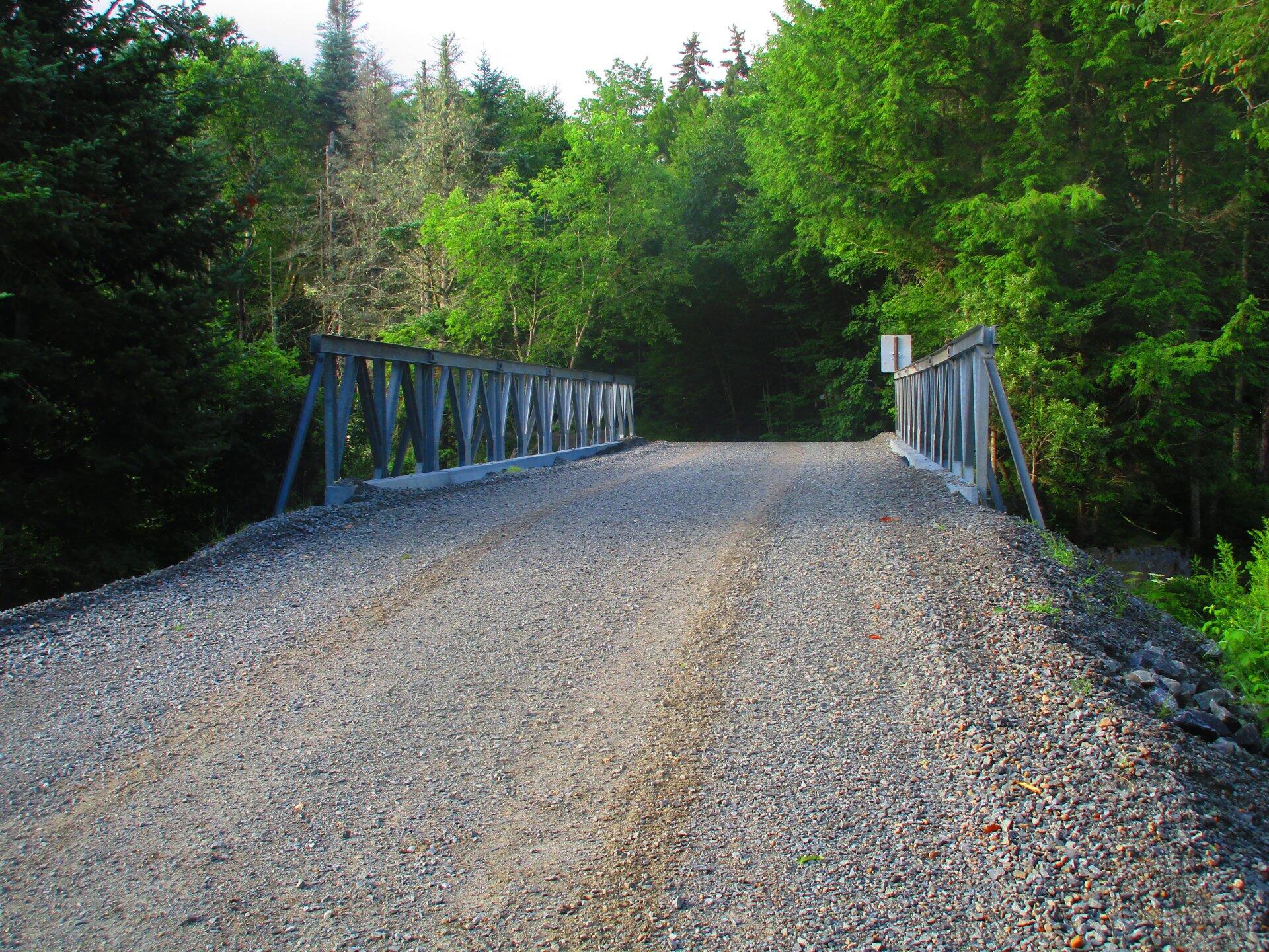
Road Up To New Powley Bridge ...
Besides the lower bridge on Piseco-Powley Road needing some serious work, they had to replace the deck on the old Powley Place Bridge. The new brridge is much higher then the old bridge -- the old deck is still there, but it's not supporting anything except maybe the substructure banks of the bridge. I assume eventually they will install a permanent bridge here.
Taken on Tuesday July 21, 2020 at Piseco-Powley Road.

More about Piseco-Powley Road...
The 17-mile Piseco-Powley Road is a remote dirt route cutting through the Adirondack's Ferris Lake Wild Forest. It features 22 primitive roadside campsites, including four spots at Powley Place where the road crosses the West Branch of the East Canada Creek.
Download the PDF Map Pack with All Maps from Piseco-Powley Road.


")


