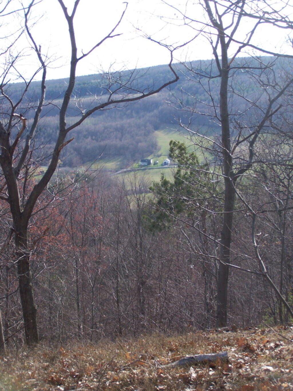
Looking Down Towards Clarksville South Road
An overlay of the Beers Map for Berne over a contemporary aerial photo.

That tower is kind of a blight next to the ruins of the Catskill Mountain House, but I guess people in the Catskills enjoy getting radio reception.
Taken on Sunday April 5, 2009 at Overlook Mountain.A very quiet Empire State Plaza during the Coronavirus crisis, heading onto Interstate 787.
While many of grade crossings had been removed at that point, the highway including bridges were only two lanes as the wound through the Tioga State Forest. South of Mansfield, the highway was at grade.