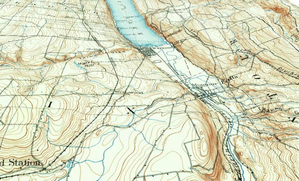
Watkins Glen – Montour Falls 1898
Playing with the 3D mapping feature to create an artistic impression of an old map.
Playing with the 3D mapping feature to create an artistic impression of an old map.
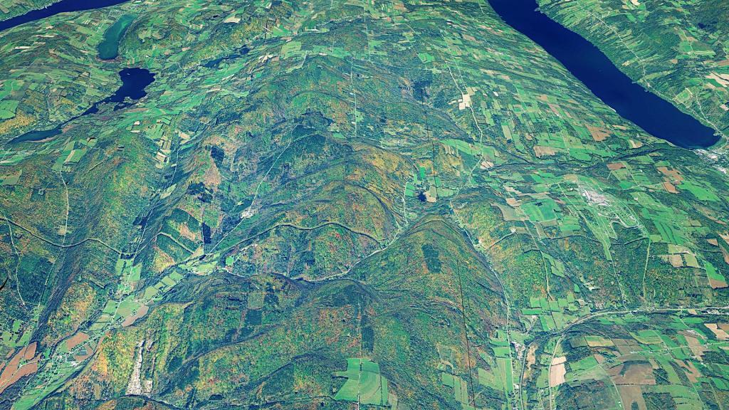
This 3D rendering shows how high Sugar Hill is compared to the surrounding Finger Lakes.
Today's explorations bring me to Sugar Hill State Forest and the Finger Lakes Trail. Lots of good places to hike and camp around here. I hear equestrians and snowmobiles like it two with miles and miles of trails to do, some a bit muddy from the shallow soil and horse hooves.
Some of the popular dispersed campsites at the Finger Lakes National Forest are overlaid on this map.