Chittening Pond
Chittening Pond is a small pond in the highlands outside of Bridgewater along Route 20. While the valleys around here are quite flat and lower elevation, this state land is made up of many little hills.
Chittening Pond is a small pond in the highlands outside of Bridgewater along Route 20. While the valleys around here are quite flat and lower elevation, this state land is made up of many little hills.
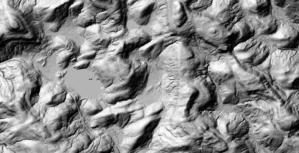
Rome Sand Plains is a 15,000-acre pine barrens about five miles west of the city center of Rome in Oneida County in central New York. It consists of a mosaic of sand dunes rising about 50 feet above low peat bogs that lie between the dunes. You can see the dunes very clearly on LIDAR.Rome Sand Plains is a 15,000-acre pine barrens about five miles west of the city center of Rome in Oneida County in central New York. It consists of a mosaic of sand dunes rising about 50 feet above low peat bogs that lie between the dunes.
The 1938-era trus bridge that NY 28 uses to cross the Black River in Forestport will be closed this summer due to bridge replacement. 🚧 The 5,181 average daily traffic will have to take Hawkinsville Road (County Route 61) from NY 12 in Boonville to NY 28 in Woodgate to bypass the closure coming to and from the Adirondacks. Closed bridge is square blue box, click on box for full bridge data record.
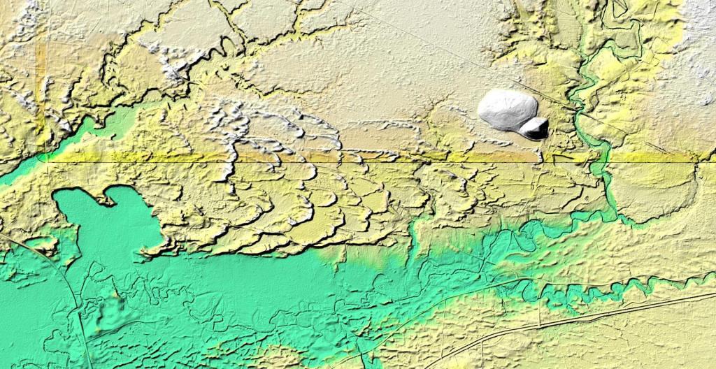
The rich farm country of the Bridgewater Flats turns into a deep gully in Cassville that NY 8 Expressway and the Norwich - Utica railine run.