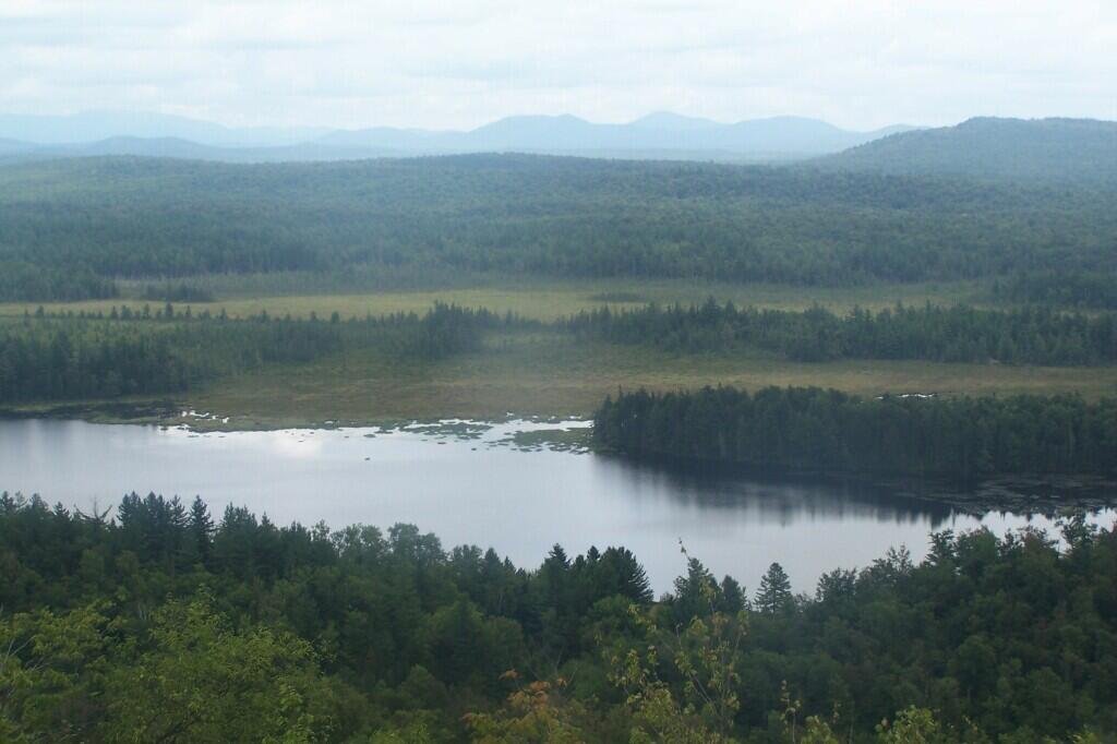
Hitchins Pond from Lows Ledge
Buck, Amperstand, and several other mountains in the Tri-Lakes region of state are seen in the background.
Taken on Monday August 13, 2012 at Hitchens Pond.
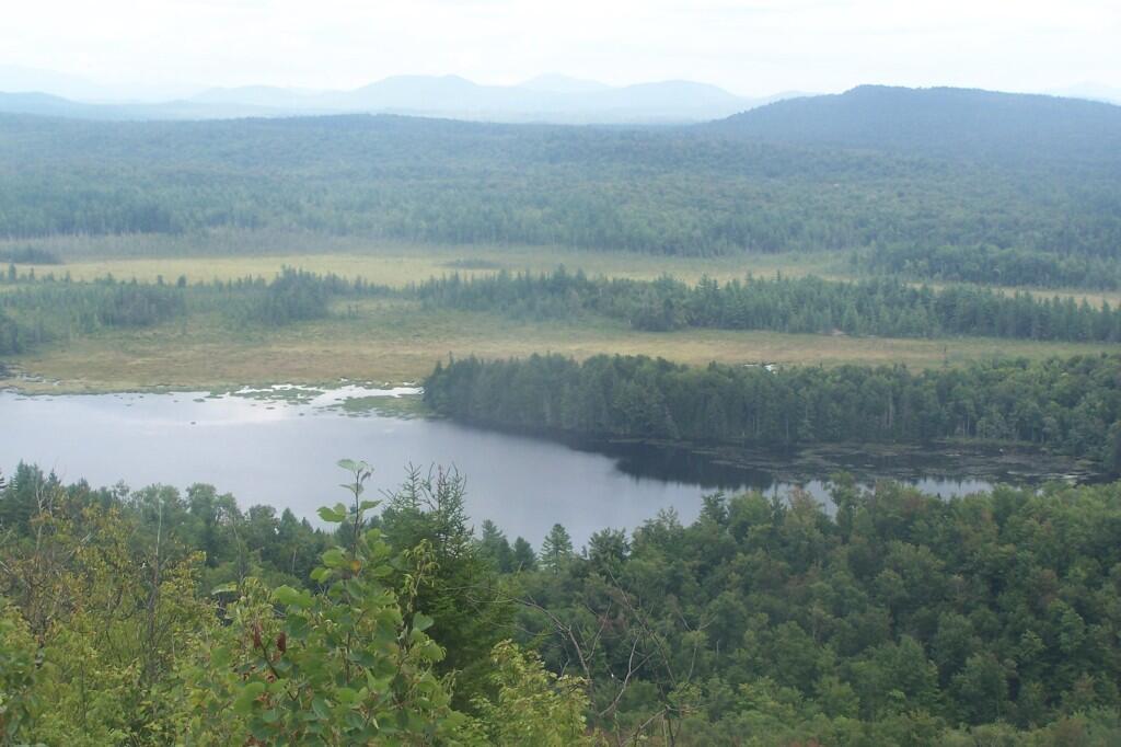
Buck, Amperstand, and several other mountains in the Tri-Lakes region of state are seen in the background.
Taken on Monday August 13, 2012 at Hitchens Pond.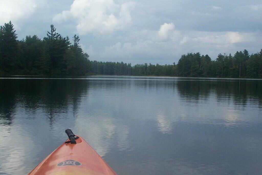
Portions of Hitchens Pond are quite marshy, and can be tough going, especially if one gets out of the channel.
Taken on Friday August 13, 2010 at Hitchens Pond.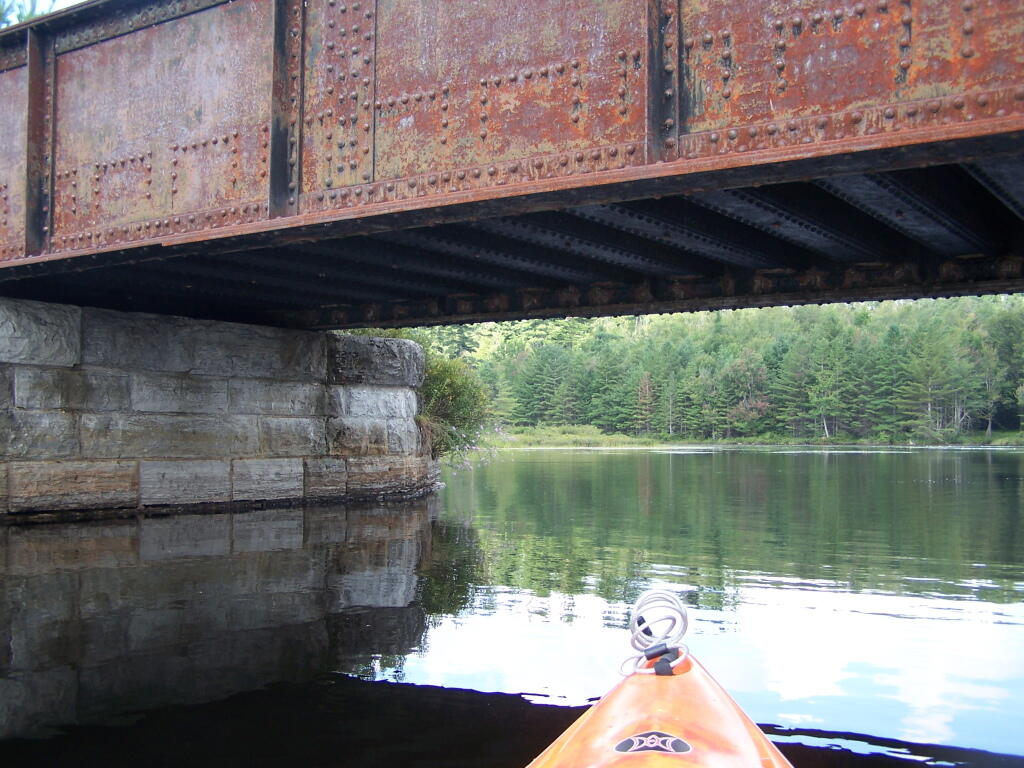
This shouldn't be too bad to clear.
Taken on Friday August 13, 2010 at Hitchens Pond.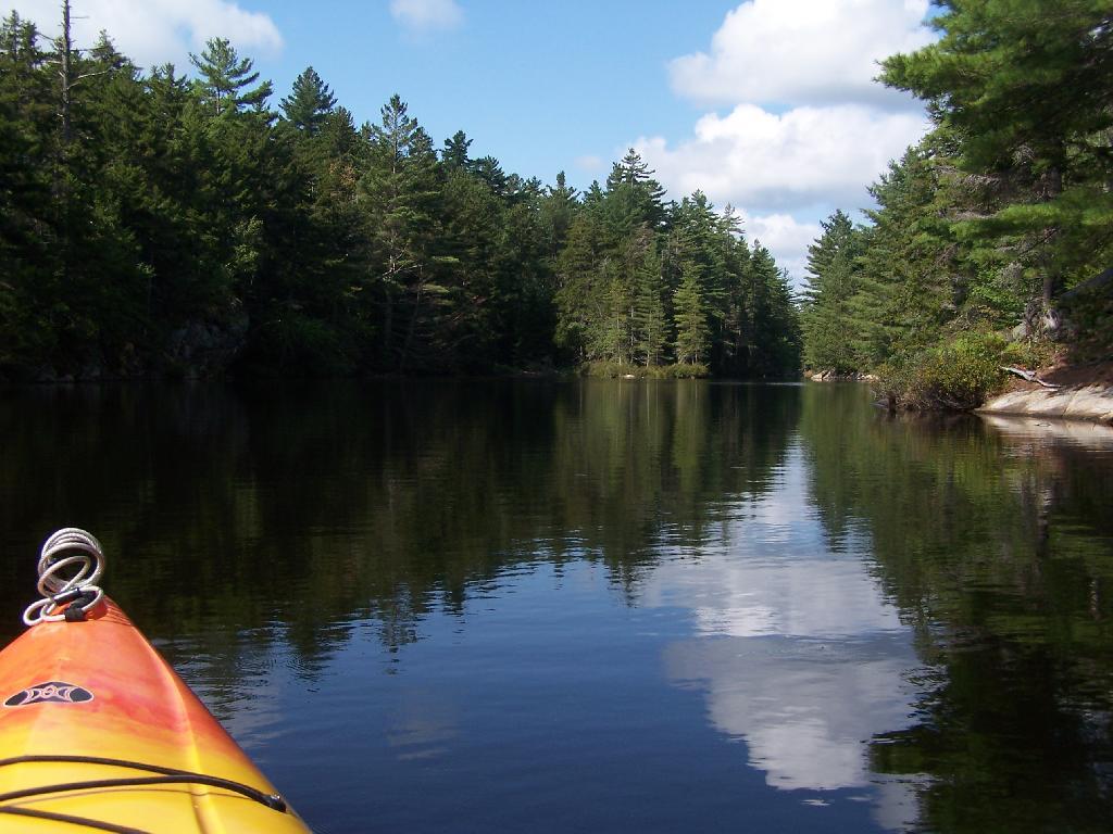
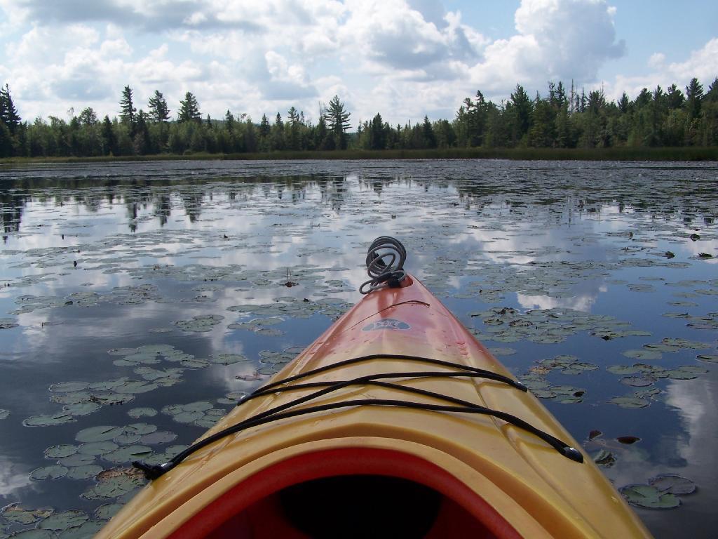
Paddling up the "flooded" Bog River, in the lower portion of Bog River flow, right above the Lower Lows Dam. If this area was not flooded by dams, it would be rapids, unaccessible by canoe or kayak.
Taken on Friday August 13, 2010 at Hitchens Pond.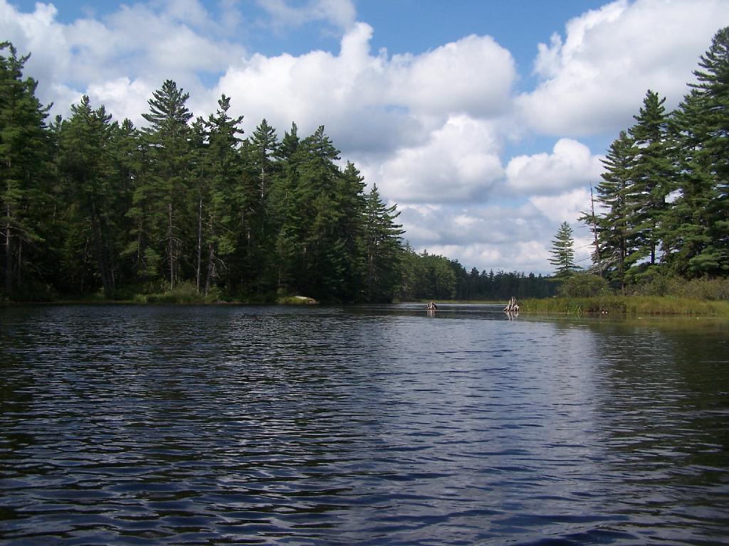
Just past here, is a hairpin turn, as the flooded River, winds a bit, and becomes a much larger lake, in the form of a series of bays and marshes.
Taken on Friday August 13, 2010 at Hitchens Pond.