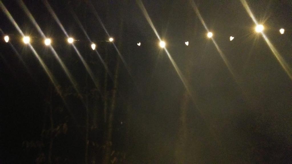
Smoke filters past the lights
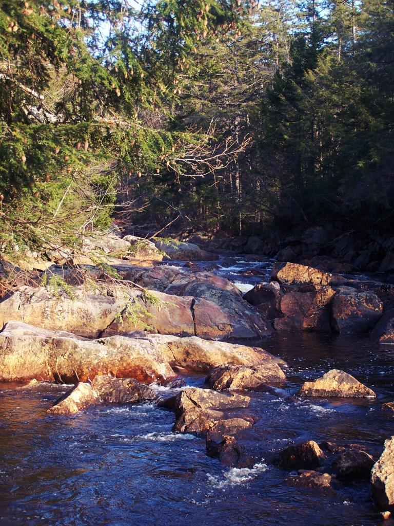
I did not go for a dip.
Taken on Saturday November 12, 2011 at Piseco-Powley Road.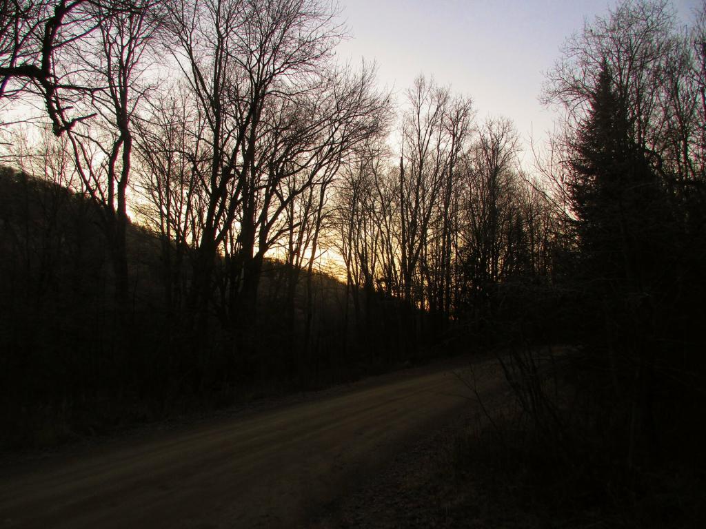
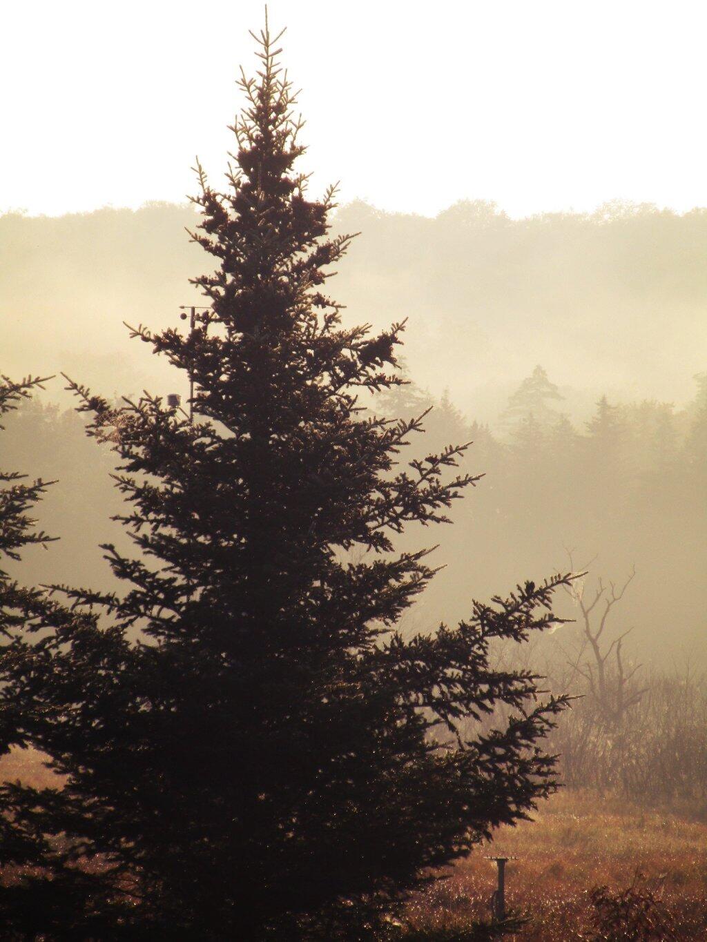
Even on a sunny day like Sunday it was hard to generate much solar power with the low sun angle.
Taken on Sunday November 29, 2020 at Piseco-Powley Road.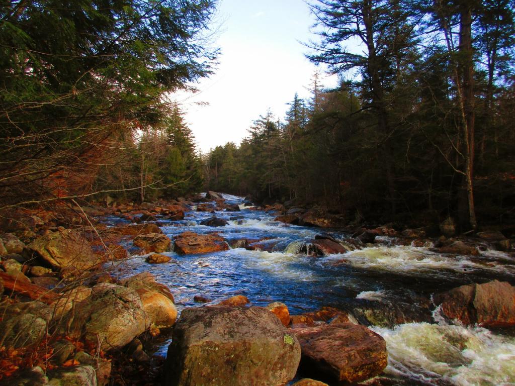
The days of cooling off at the Potholers are long gone but summer will return at some point in the future.
Taken on Saturday November 28, 2020 at Piseco-Powley Road.This interactive map shows the location of each mile point heading north up Piseco-Powley Road from Stratford in the Adirondacks. It's handy if you trying to locate a trail head or just want to know about how far roughly north things are along the road.
For example, I had no idea that the Lower Powley Bridge is 6 miles north of Stratford -- it always seems like a bit of a trip up that rough road, but it's good to keep in context. Powley Place is 11 miles north, and ultimately the road ends at NY 8 at 18.6 miles further north.
In recent years I haven't camped much up at Powley Place, but it's still a great place to spend a night or two.
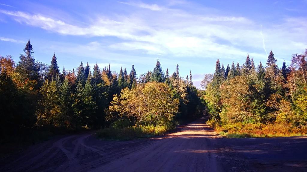
Taken on Tuesday September 21, 2021 at Piseco-Powley Road.