Ferris Lake Wild Forest

Encompassing a vast expanse of 147,454 acres, the Ferris Lake Wild Forest is characterized by the presence of ancient spruce stands. These can be observed along the Powley-Piseco Road, the northern banks of Alderbed Stream, the vicinity of Blind Man’s Vly, and the slopes of both Big and Little Alderbed Mountains. Adding to its allure, the region boasts an array of ponds, lakes, and streams, attracting outdoor enthusiasts and sportsmen year-round.

The Wild Forest accommodates 14.6 miles of hiking trails, along with an extensive 117-mile network of snowmobile trails (many of which are multi-use), catering to various recreational preferences. With 97 primitive campsites, a boat launch, and a boat dock, the area is well-equipped for adventurers. Furthermore, the public can access 10.95 miles of roads, granting motorized entry to this expansive and captivating property.

https://www.dec.ny.gov/lands/114279.html

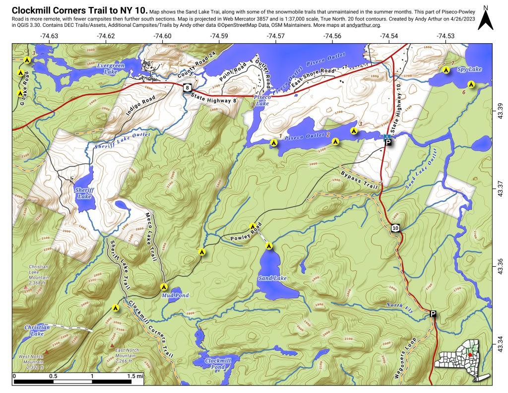
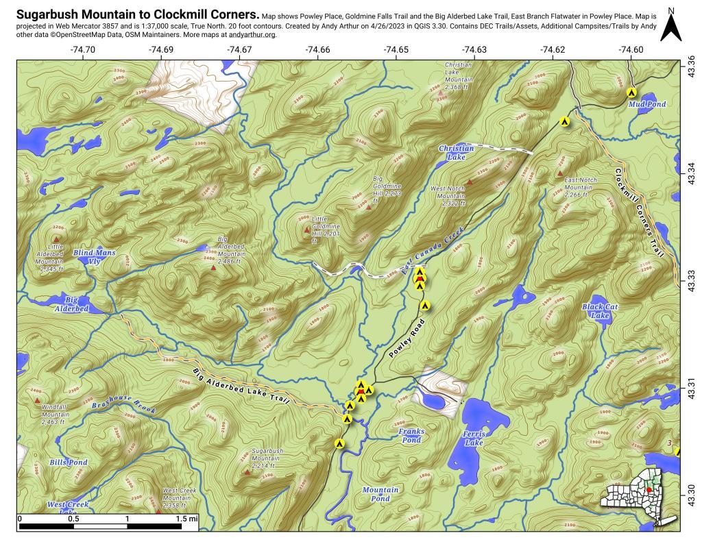
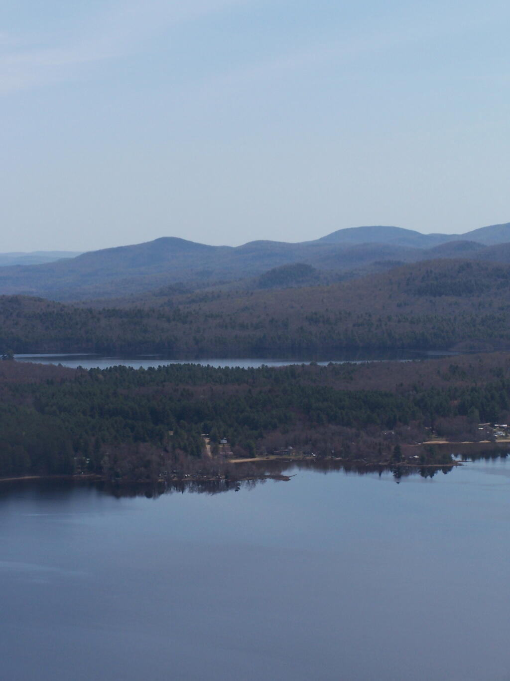
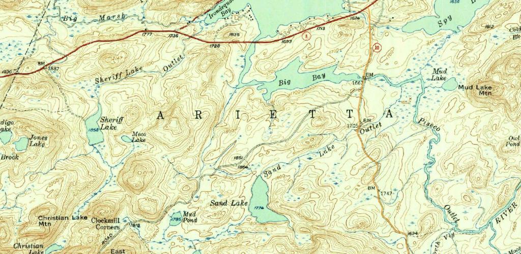
Modern Route 10 overlaid on the old Arietta – Piseco Road (1954)

Modern Route 10 overlaid on the old Arietta - Piseco Road (1954)

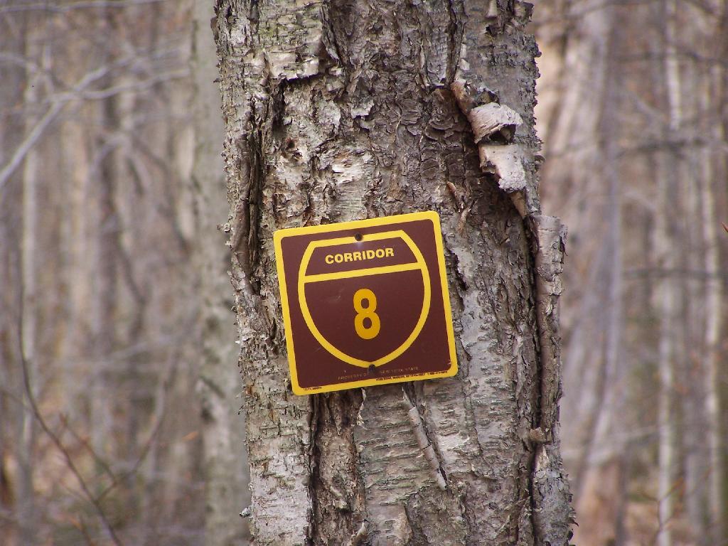
New York Route 10 is often said to be the last paved state highway in New York when the Glen Harris Highway was paved north of Arietta up through Piseco Lake in the early 1980s.

Due to constitutional constraints relating to the road running through forest preserve, with few exceptions, almost all of modern asphalt road follows the path of the dirt road, although during construction they did bank the curves and widen the road slightly from the horse and buggy road that existed in almost the same form since the 1800s.

I have the 1904 topographic maps of the area too but due to issues with the original map survey, the overlay is more difficult to do accurately compared to the more modern 1954 survey. 

The modern alignment is shown in orange while the topographic map below is from 1954.