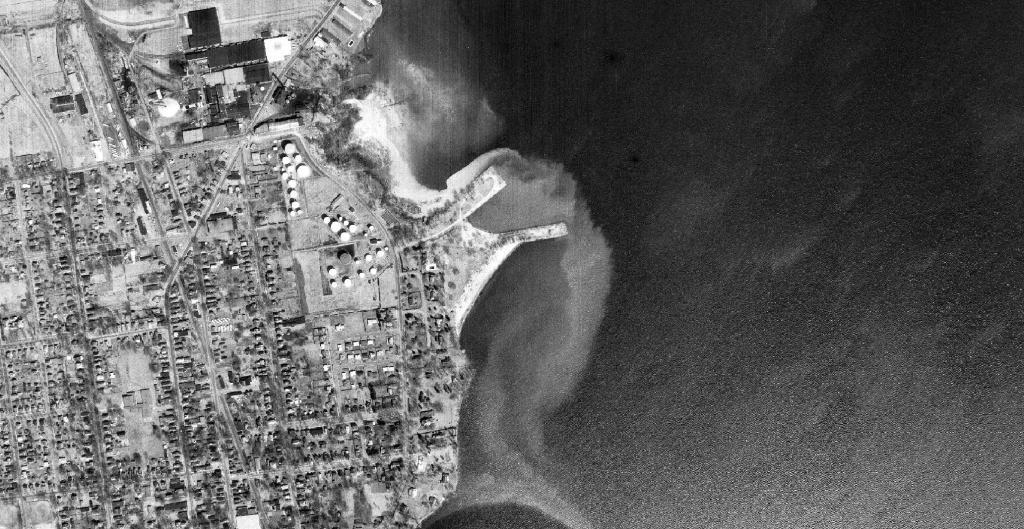
Back in 1964, water pollution was much less regulated in New York State, and waste water from the toilet paper making process was dumped directly into Lake Champlain, leaving the area around Wilcox Dock looking very white in color on this Spring 1964 aerial photo.
Taking a look at historical topographic maps from 1956, while the Northway was an initial line on the map.
Overlaying contemporary building footprints and roads over the 1954 aerial photo of Delmar to show development of the land.
One holds college students that get educated, the other holds cows that get milked. But in a size comparison, they are about the same, although the manure lagoon on Bubbins' Farm is larger then Hawkins Pond by a bit. Size comparisons are fun, especially when they go moo!
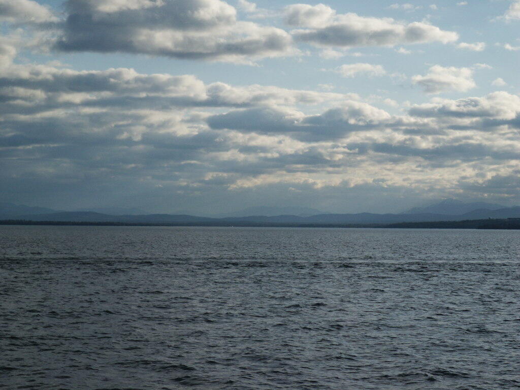
While crossing on the Cumberland Head-Grand Isle Ferry.
Taken on Sunday March 26, 2006 at Plattsburgh.