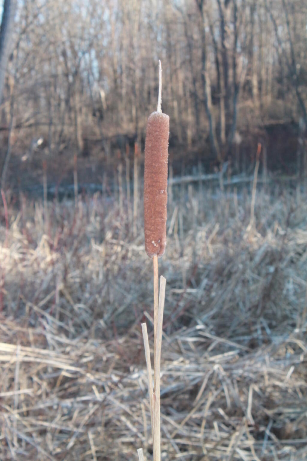
Today, I decided I wanted to go snowshoeing in the extreme back-portion of Partridge Run, west of Bradt Hollow Road. I followed the ski trails and Long Path from where it crosses Bradt Hollow Road on down to the swamp in the back. I hadn’t been back there in years.
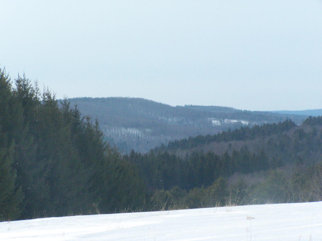
After the snowshoe hike, I decided I wanted to drive down to Huntersland and poke around for a bit with my truck. Took High Point Road, then Canaday Hill Road down to Huntersland – and remember what beautiful country it is down by Huntersland. It might be generic Appalachian hills, as is seen in a lot of the Southern Tier, but the hills around Middleburgh tend to be particularly high and steep, leading to some remarkably beautiful views.
The Catskill Mountains and Adirondacks are beautiful. But I think little compares to the Appalachians in their beauty – how the tall, often rounded hills, shroud the deep hollows. Run-down houses and farms are often perched on the hills, often overlooking sometimes fast-moving creeks – or as they call them in most of Appalachia – runs.
On some of the hills, you see more and more large and cabins and houses. On Canady Hill Road there were a few amazingly big mansions, probably owned by wealthy folk who find you can buy rural land in the mountains for real cheap – and get some great views and hunting opportunities to boot.