from

Campsites and Lean-Tos in DEC Region 7 (Central NY)

Today we look at Campsites and Lean-tos and other “developed” camping opporunties in DEC Region 7, which consists of lands in Central NY Counties of Broome, Cayuga, Chenango, Cortland, Madison, Onondaga, Oswego, Tompkins and Tioga, and is based on data in Region 7 Recreation Master Plan.
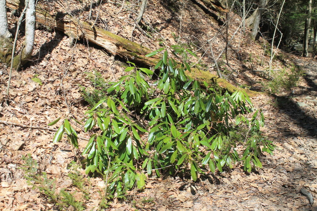
Rhododendrons

Current 85 Designated Campsites/Lean-Tos.

  • Balsam Pond State Forest (Chenango 17) – 1 campsite at Baker’s pond
  • Balsam Pond State Forest (Chenango 34) – 9 campsites 3
  • Beaver Creek State Forest (Madison 12) – 2 campsites at the assembly area 4
  • Charles E. Baker State Forest (Madison 1) – 14 campsites at Moscow Hill 4
  • Charles E. Baker State Forest (Madison 1) – 2 lean-tos
  • Charles E. Baker State Forest (Madison 1) – 8 campsites at Cherry Ridge 3
  • Danby State Forest (Tompkins 1) – 2 lean-tos (Finger Lakes Trail)
  • Gee Brook State Forest (Cortland 17) – 6 campsites at Calico Pond
  • Long Pond State Forest (Chenango 35) – 8 campsites
  • Ludlow Creek State Forest (Chenango 6) – 1 lean-to (Finger Lakes Trail)
  • Mariposa State Forest (Chenango-Madison 1) – 1 lean-to (Finger Lakes Trail)
  • McDonough State Forest (Chenango 1) – 3 campsites at Whaley Pond
  • Morgan Hill State Forest (Cortland 4) – 1 lean-to
  • Morgan Hill State Forest (Onondaga 1) – 9 campsites at Spruce Pond 1
  • New Michigan State Forest (Chenango 5) – 1 lean-to (Finger Lakes Trail)
  • Robinson Hollow State Forest (Tioga 3) – 1 lean-to
  • Shindagin Hollow State Forest (Tompkins 3) – 1 lean-to (Finger Lakes Trail)
  • Stoney Pond State Forest (Madison 13) – 12 campsites 2
  • Taylor Valley State Forest (Cortland 2) – 12 campsites 5
  • Tuller Hill State Forest (Cortland 9) – 1 lean-to
  • Whaupaunaucau State Forest (Chenango 31) – 1 lean-to
  • Wiley Brook State Forest (Chenango 7) – 1 campsite

1 DEC Camping permit required. Call (607) 674-4036 to have a permit mailed to you.

2DEC Camping permit required from April 15-October 15th. Call (607) 674-4036 to have a permit mailed to you.

3 Vehicle accessible.

4Horse Assembly and Camping-area.

5 Currently undesignated sites (lacks “Camp Here Markers”) on an old loop road that was part of CCC Camp in Taylor Valley.

Related Maps.
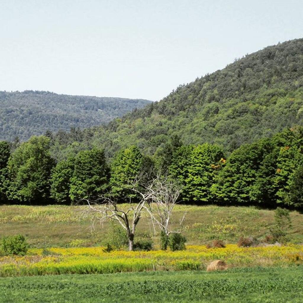
Reed Hill

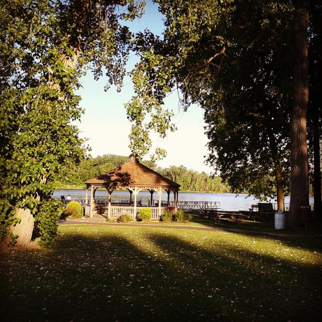
Pavilion

Morning shadows

Waterfall on the Long Path

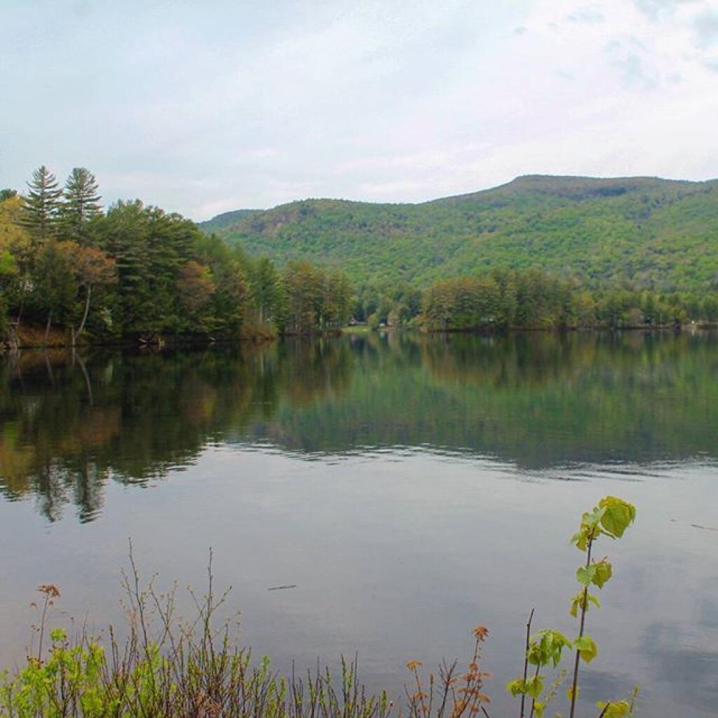
Shoreline

DEC’s Future Plans for Region 7

1. Develop 31 additional campsites in Region 7. Twenty-eight of these will be open campsites and three will be lean-tos. A portion of the new campsite development will occur on Hall Island State Forest (Oswego 10), as noted in items b and c. The Department will consider the option of permanently closing any or all of the Island campsites if patrol or enforcement problems become an issue. Fiscal constraints and public demand will determine if any additional campsites are to be developed within the Region.

a. Development of the new campsites will be in compliance with the guidelines for access by people with disabilities.

b. Develop 12 to 15 open campsites on Hall Island State Forest (Oswego10). These campsites will be located on the south side of the Salmon River Reservoir and will only be accessible by water. A permit will be required to occupy these sites. Three of these sites will be developed for people with disabilities . c. On Hall Island State Forest (Oswego 10), upgrade two designated campsites on Burdick Island and two campsites on Huckleberry Island in the Salmon River Reservoir. A permit will be required to occupy these sites. Two of these sites will be developed for people with disabilities.

Households That Make Less then $30k

d. Develop one lean-to campsite along the Finger Lakes Trail on Perkins Pond State Forest (Chenango 22) in the Town of Otselic.

e. Develop two open campsites on the Marsh Pond State Forest (Broome 4) near the pond. One of these sites will be developed for people with disabilities.

f. Develop three campsites on Robinson Hill State Forest (Tioga 3) near Tricounty Pond. The exact number of sites will be determined from local demand. One or two of these sites will be developed for people with disabilities. Install kiosk and develop area brochure.

g. Develop one lean-to on the Genegantslet State Forest with access from Creek Road. The access trail to the lean-to will be approximately 0.7 miles of hiking trail.

h. Develop an open campsite in stand C-7 on Long Pond State Forest (Chenango 35) designed for access by canoe or boat.

i. Develop three open campsites on Oakley Corners State Forest (Tioga 2). One of these sites will be developed for people with disabilities. Use of these sites will be by permit only.

j. Upgrade and designate three formal sites on the Salmon River State Forest (Oswego 8). A permit will be required to occupy these sites.

k. Rebuild the lean-to along the trail on Chateaugay State Forest (Oswego 4 & 5).
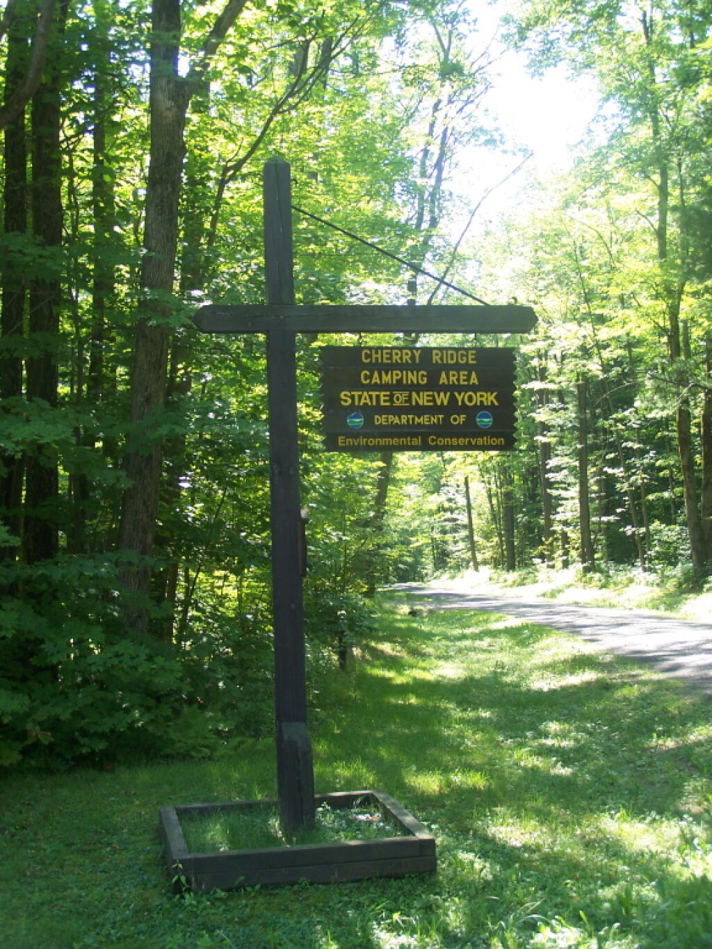
Cherry Ridge Camping Area Sign

l. Build one lean-to on Cuyler Hill State Forest (Cortland 6).

m. Inspect and, if necessary, repair or replace lean-tos on the Finger Lakes Trail.

2. Propose a change to the current regulations to address the conflicts encountered with camping within 150 feet of a road.

a. Propose a change to the current regulation that prohibits camping within 150′ of any road. The intent of this proposal is to accommodate the style of camping that is common during hunting season.
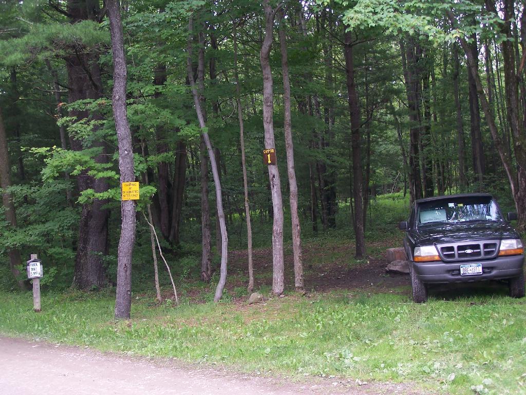
Number 1

3. Provide camping opportunities on State Forests for people with disabilities. These ADA compliant facilities will be distributed throughout the Region. Most of the designated campsites will have fire rings and several of the sites will have picnic tables. Fire rings, picnic tables and benches will be of Universal Design. Accessible latrines will be located at areas with several campsites, such as Long Pond, Stoney Pond and Charles E. Baker State Forests. All camping areas that can be driven to will have at least one accessible parking space. a. Make alterations to the Moscow Hill campsites on the Charles E. Baker State Forest (Madison 1 & 4) so that at least four of the sites are accessible by people with disabilities.
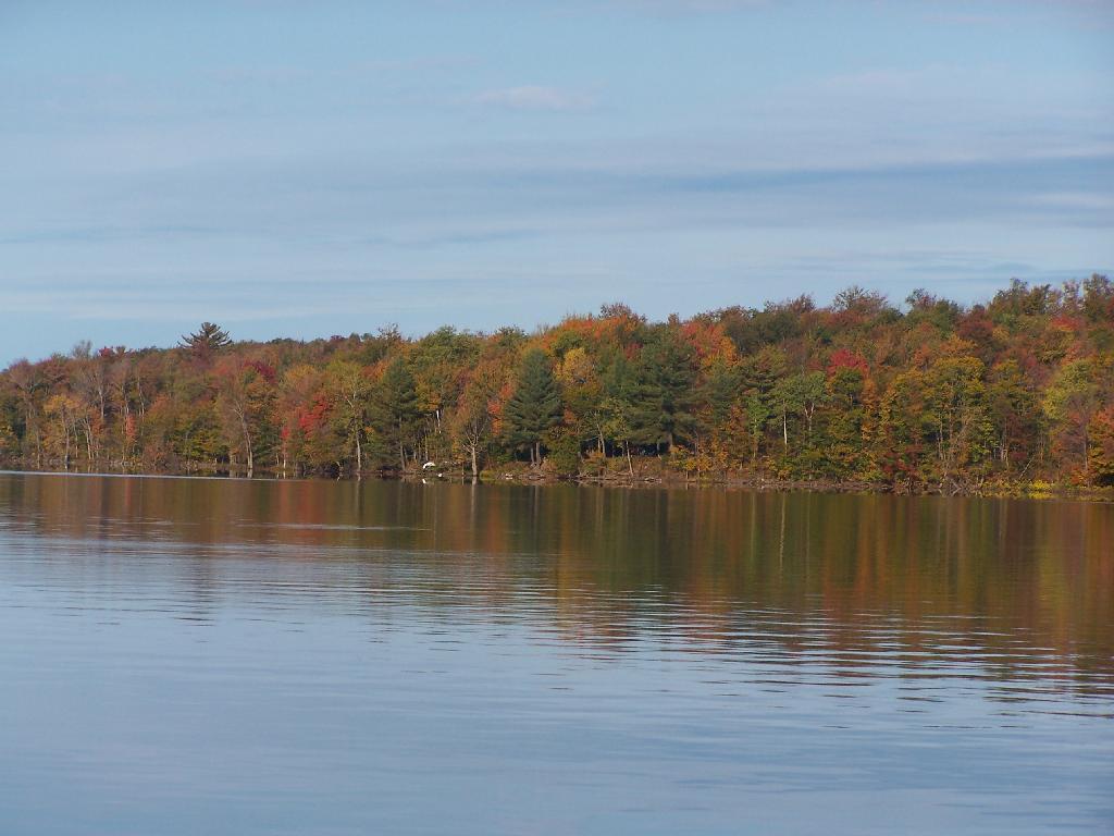
Hunting Camps Along Reservoir

4. Designate 14 campsites at Moscow Hill, Madison 1, camping area.

5. Maintain 85 existing campsites.

6. Propose a regulation to prohibit camping at Nanticoke Lake Multiple-Use Area and Redfield Island Day-Use Area
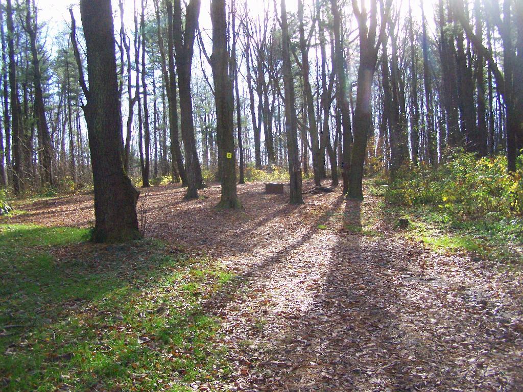
Campsite 8

7. Remove the lean-to on New Michigan State Forest (Chenango 5) This lean-to is structurally poor and is no longer located on an active trail. The lean-to proposed in 1. d will replace this lean-to.

Map: Mariposa State Forest
Map: Wakely Dam Campsites

Land Uses in Mohawk Valley

Today we look at land use in the Mohawk Valley. Here a series of maps along the Mohawk River, showing land use as a quad color image, based on NASS/Landstat data from the region. The images below use the following colors:
  • Red – Developed areas such as cities, highways, and other industrialized or otherwise developed parts.
  • Yellow – Agricultural areas, including all farm crops such as corn, hay, alfalpha, and other truck crops
  • Green – Woodland, brush, and barren lands
  • Blue – Water bodies

These images should pick up detail up to about 300 feet in any particular direction.

Overwhelmingly, the Mohawk Valley is about agriculture, although as elevation increases and farming is no longer profitable, then farm fields revert to tree cover. And while their are certainly single family homes and other rural residents under the tree cover, by no means is development the overwhelming use of the land.

Utica Area.

Most of the farming in the Utica-area, occurs south of the city, due to the sandy soils, short growing season, and elevation making farming unprofitable north of city. This map may actually distort how much land north of city is actually farmed, as many of farm fields shown on this map have been abandoned and are slowly reverting to brush and ultimately tree cover.

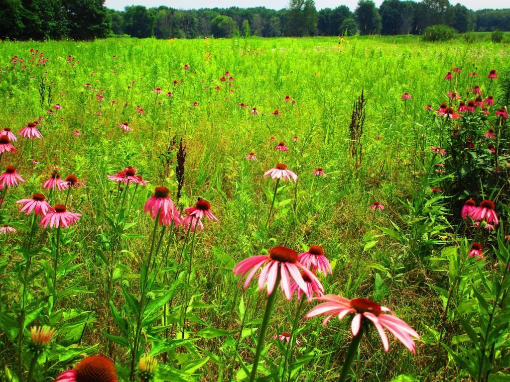
While not a lot of unique birds at Montezuma out and about as it was a hot and humid day, still nice to explore nad see the wildflowers

Canajoharie Area.

As you get around Canajoharie the amount of farming activity picks up dramatically, and except for a small section right next to the Mohawk Valley, most of this area is not developed.

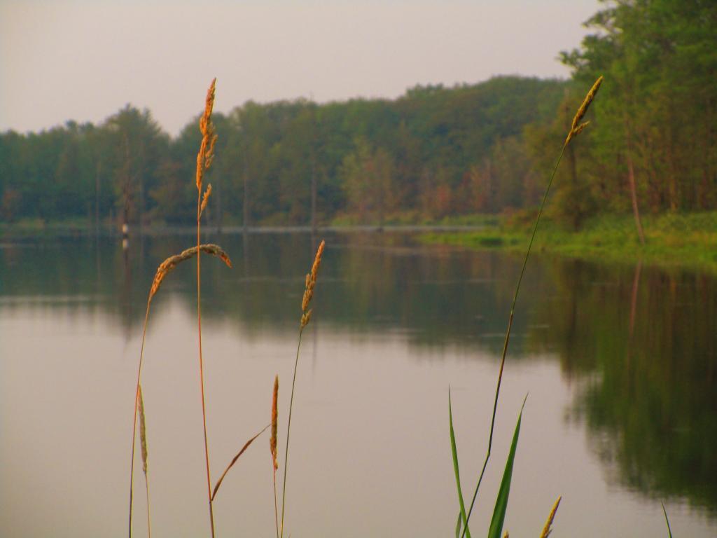
Grass along Teeter Pond

Albany-Schenectady Area.

Heading towards Albany-Schenectady, you see more development, but notice how you don’t have to get far from the city for forest cover to be dominant feature, and not agriculture. A lot of this is rural residents, with acreage, and hobby farms around here. Farming stops when you get up on the Rensselear Plateau, although the farm lands right around Brunswick are quite profitable, until you start heading towards Grafton where almost all farming stops.

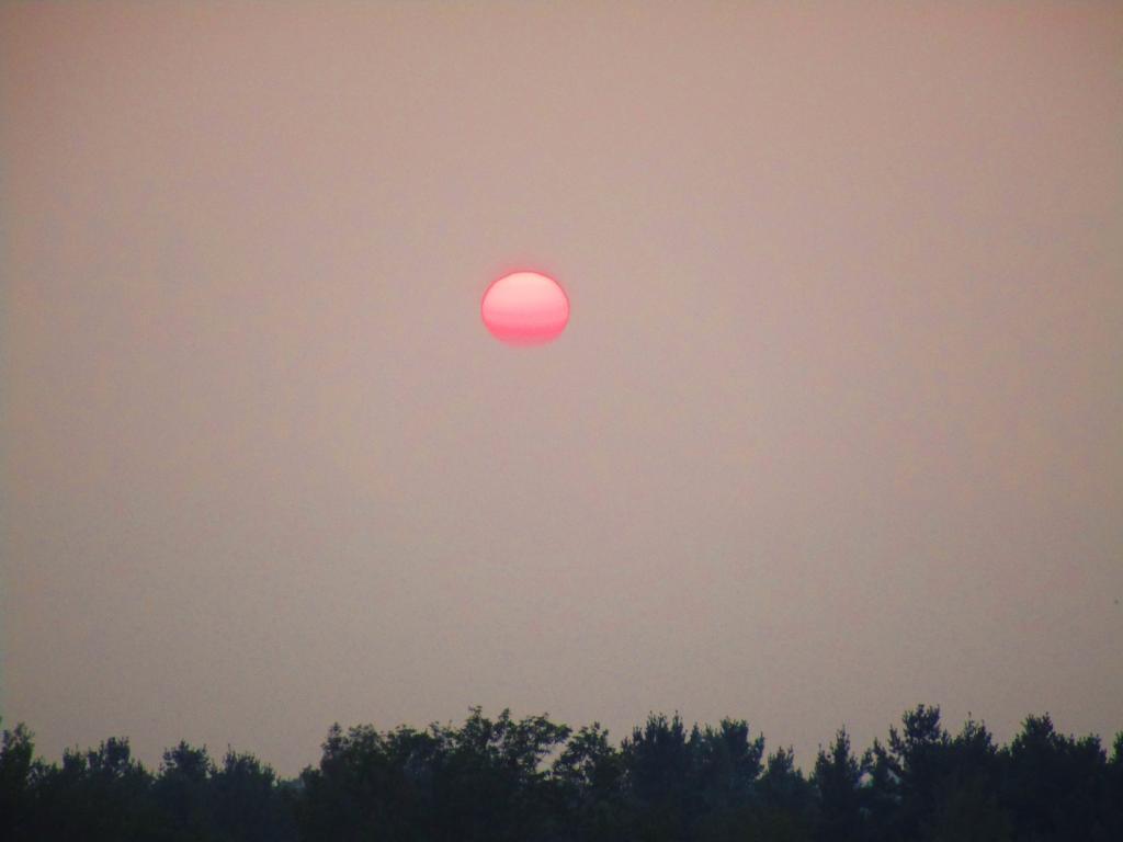
Many Nights Sunsets

Land Uses in Mohawk Valley

How much of the Mohawk Valley is developed, how much is farmed, and how much is forested? These images give you a clear overview, with all agricultural cropland and pasture colored yellow, all forest lands colored green, waterways colored blue, and developed areas are red. This is based on LANDSTAT and USDA NASS Croplayer data.

Overwhelmingly, the Mohawk Valley is about agriculture, although as elevation increases and farming is no longer profitable, then farm fields revert to tree cover. And while their are certainly single family homes and other rural residents under the tree cover, by no means is development the overwhelming use of the land.

Most of the farming in the Utica-area, occurs south of the city, due to the sandy soils, short growing season, and elevation making farming unprofitable north of city. This map may actually distort how much land north of city is actually farmed, as many of farm fields shown on this map have been abandoned and are slowly reverting to brush and ultimately tree cover.

While not a lot of unique birds at Montezuma out and about as it was a hot and humid day, still nice to explore nad see the wildflowers

As you get around Canajoharie the amount of farming activity picks up dramatically, and except for a small section right next to the Mohawk Valley, most of this area is not developed.

Grass along Teeter Pond

Heading towards Albany-Schenectady, you see more development, but notice how you don’t have to get far from the city for forest cover to be dominant feature, and not agriculture. A lot of this is rural residents, with acreage, and hobby farms around here. Farming stops when you get up on the Rensselear Plateau, although the farm lands right around Brunswick are quite profitable, until you start heading towards Grafton where almost all farming stops.

Many Nights Sunsets

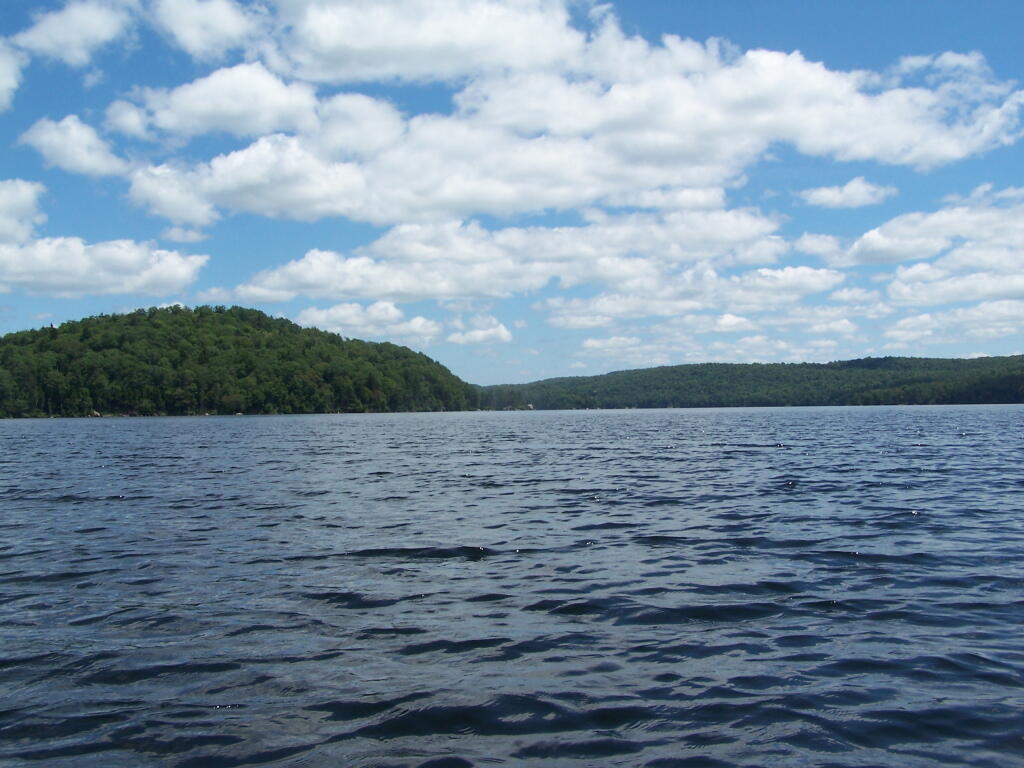
Kayaking Woodhull Lake

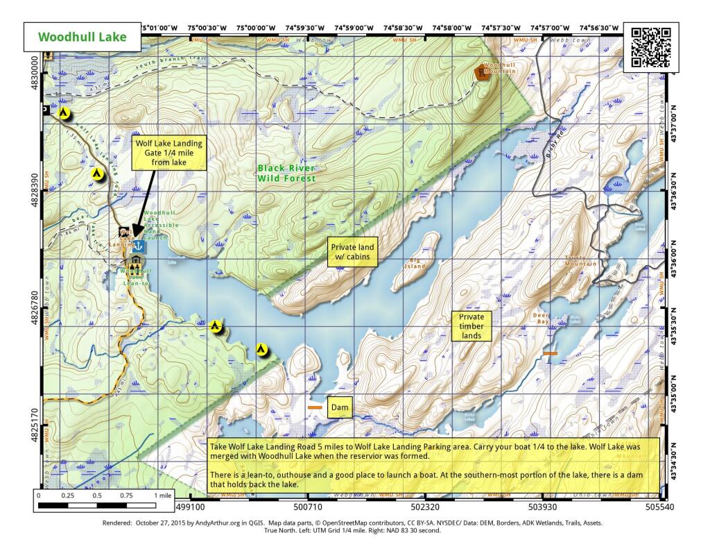
To get to Woodhull Lake, you have to take McKeever Road from NY 28 in McKeever (1/2 mile before it crosses the Moose River, then drive back about 6 miles on a dirt truck trail known as Wolf Lake Landing Road. You put in at Wolf Lakes Landing, which is named after one of the lakes that Woodhull Lake covered when it was dammed up to form a larger lake to provide water supply to the Erie Canal.

 Woodhull Lake

While the road is fairly well maintained one-lane gravel truck trail, one creek crossing is a bit eroded from the rains of 2011. There are roughly 6 designated roadside campsites along the road, with minimal to no facilities that you can camp at. You can drive all but an 1/8th of a mile up to Woodhull Lake, where the road is gated off, from there you have to carry your kayak or canoe to the lake on the gravel road. Consider using wheels on your kayak to assist on this portage.

Here is a map of Woodhull Lake. Consider clicking on it, for a high-resolution map that you can print up, put in a plastic bag and use on the trip like I did. It works really well like this, and I think this map prints out to be nice and high resolution, especially if you have a color printer.

Heading Out to Woodhull Lake

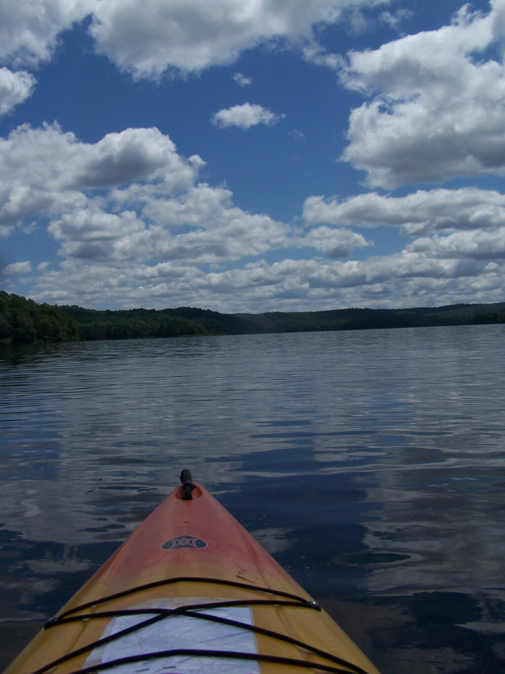
Beautiful Morning Out

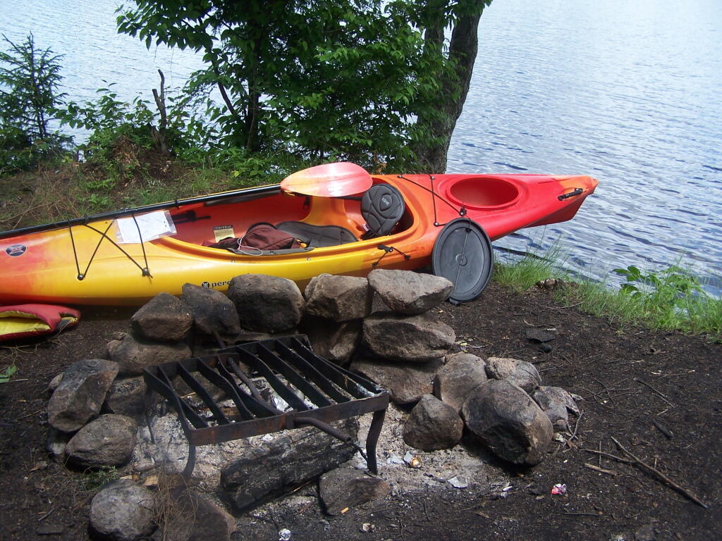
Camp

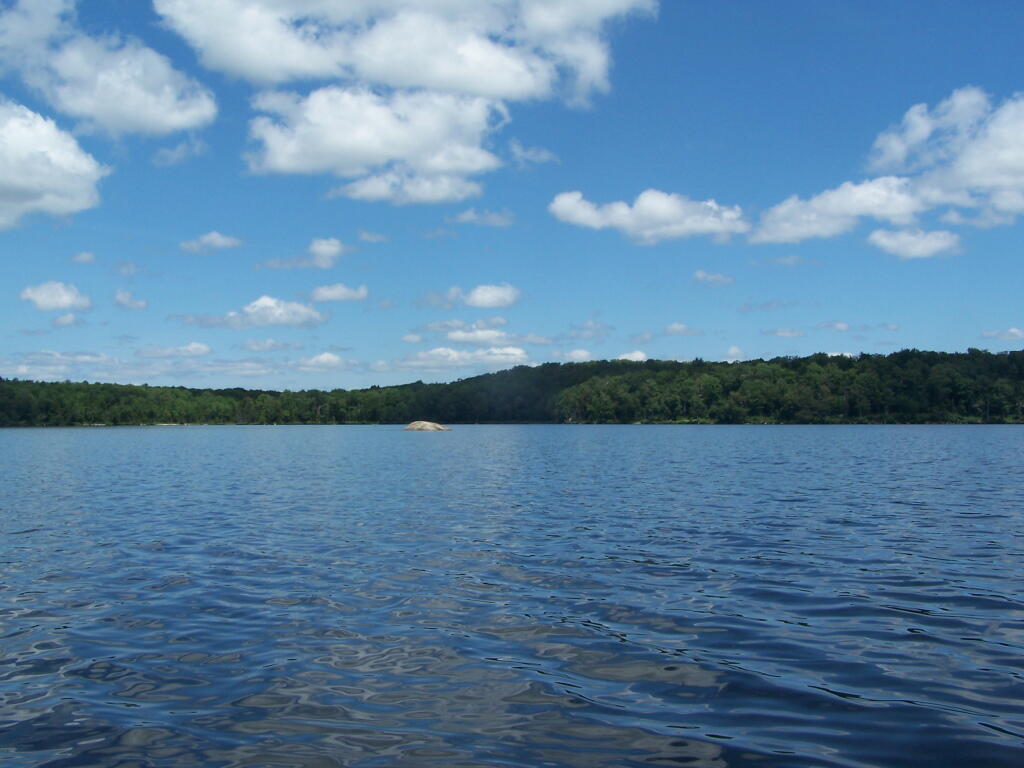
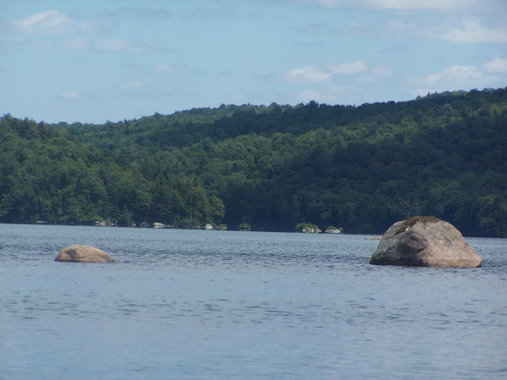
Boulder Sticking Up in Lake

Past Remsen Point

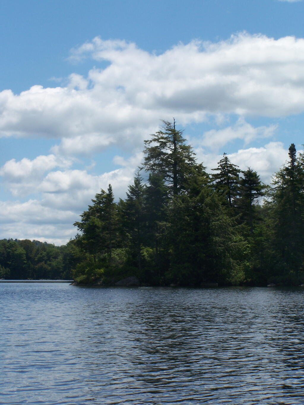
Trees on Remsen Point

Big Island

Boulders in the Lake

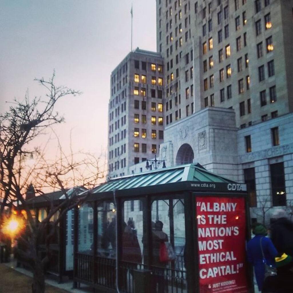
Another nice evening in America's most ethical capital

Big Island

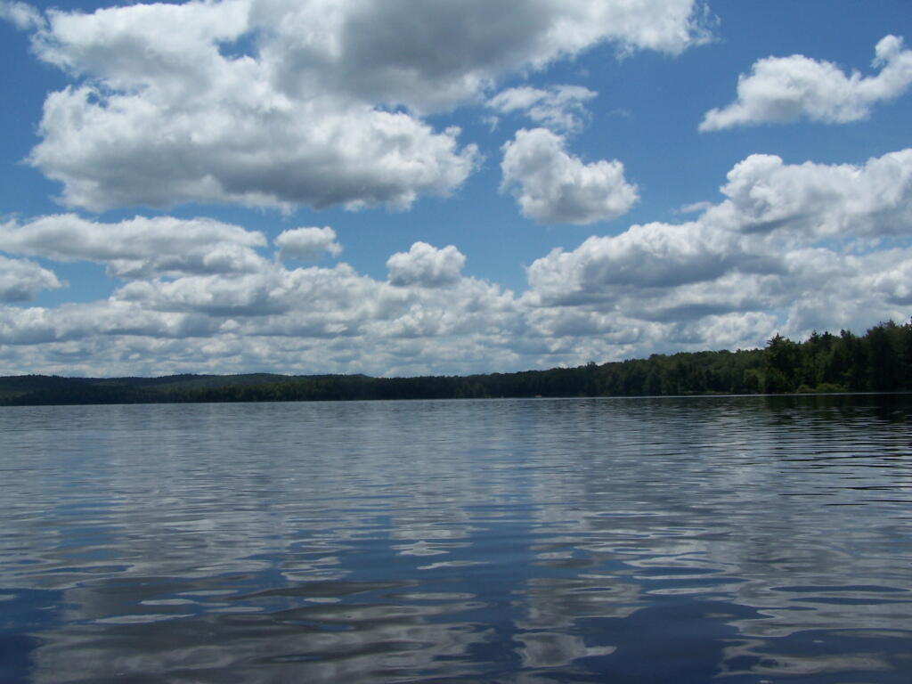
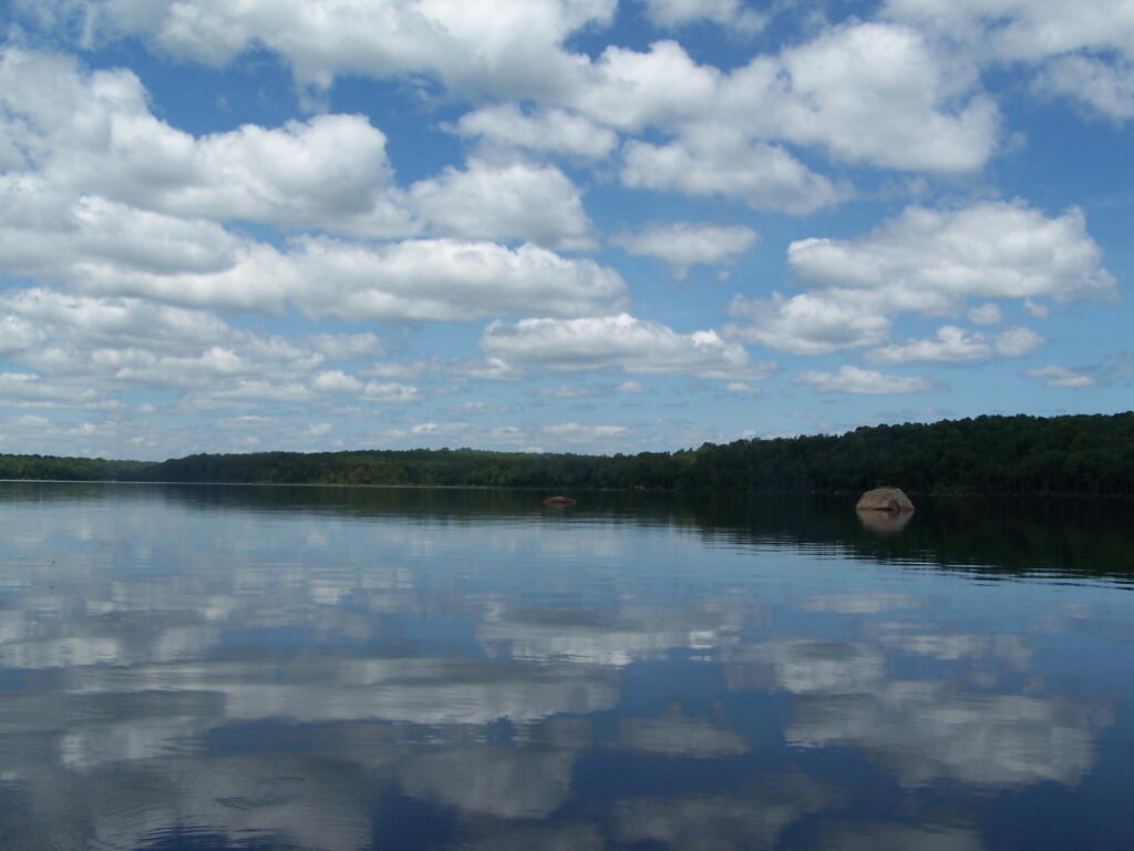
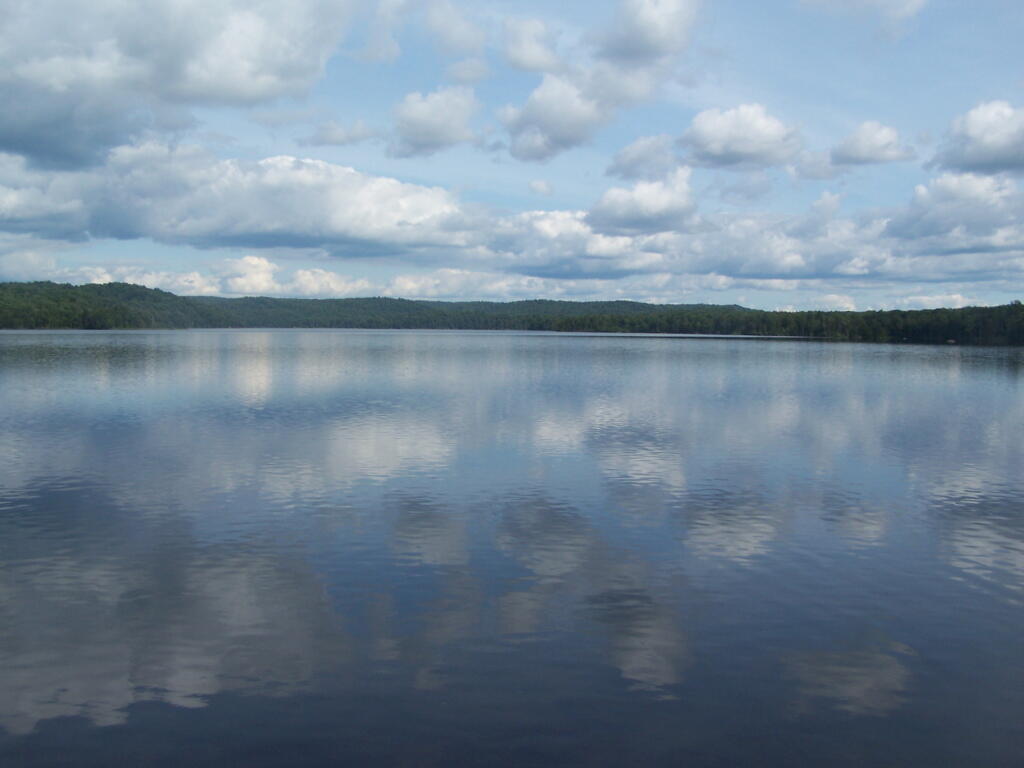
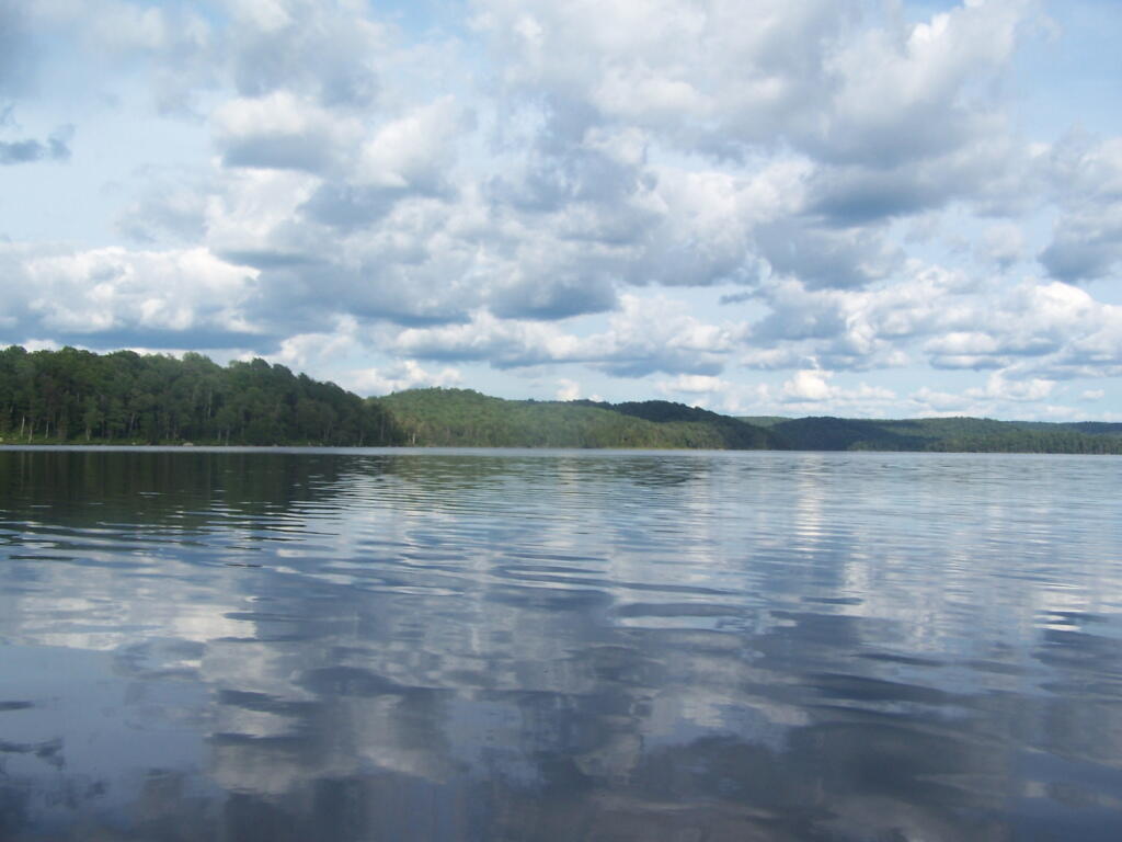
Reflections

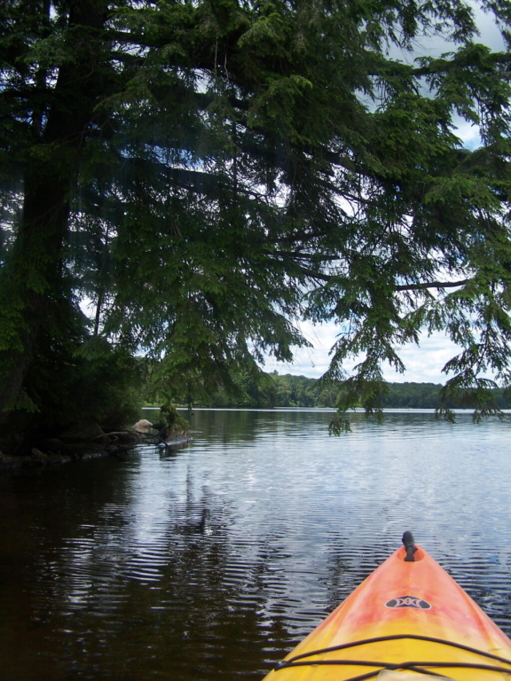
Passing Under a Low Tree

Motor Boat

North Side of Lake

Parked at Woodhull Lean To

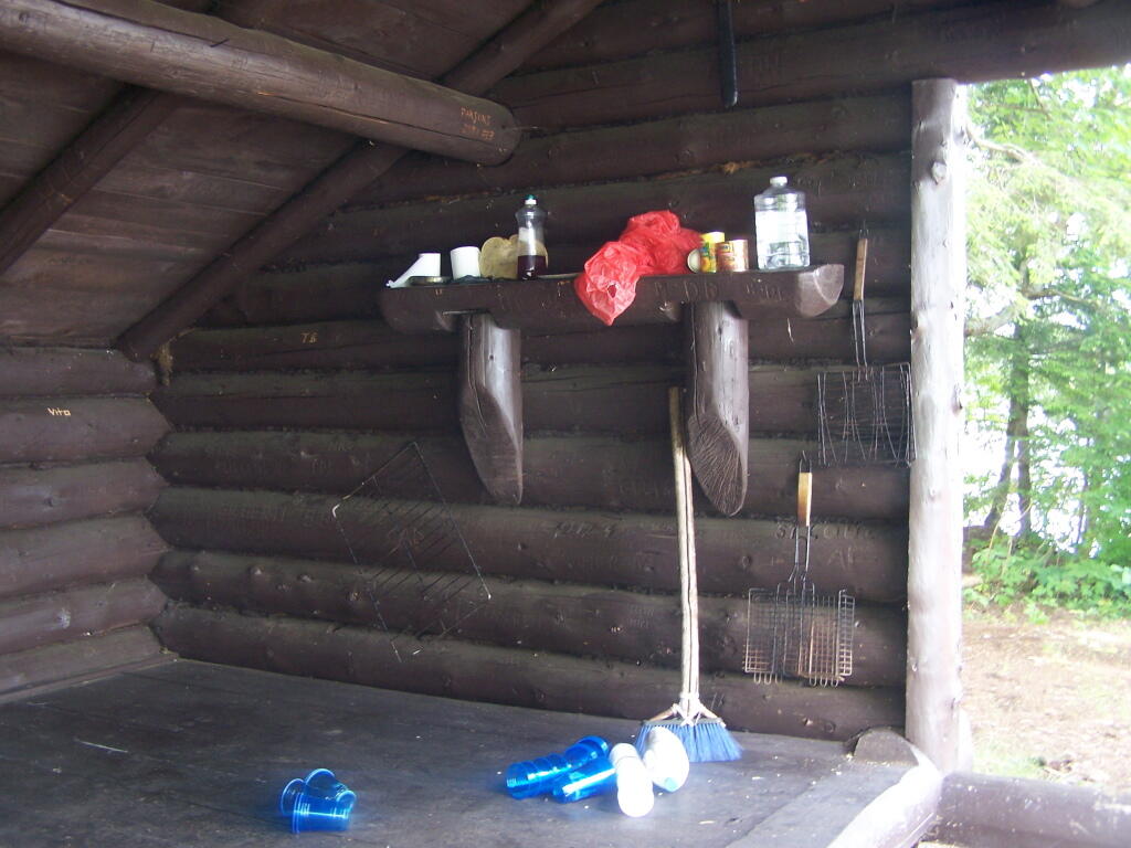
Inside Woodhull Lean-To

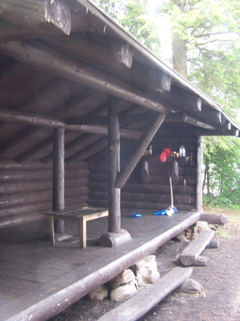
Large Lean-To

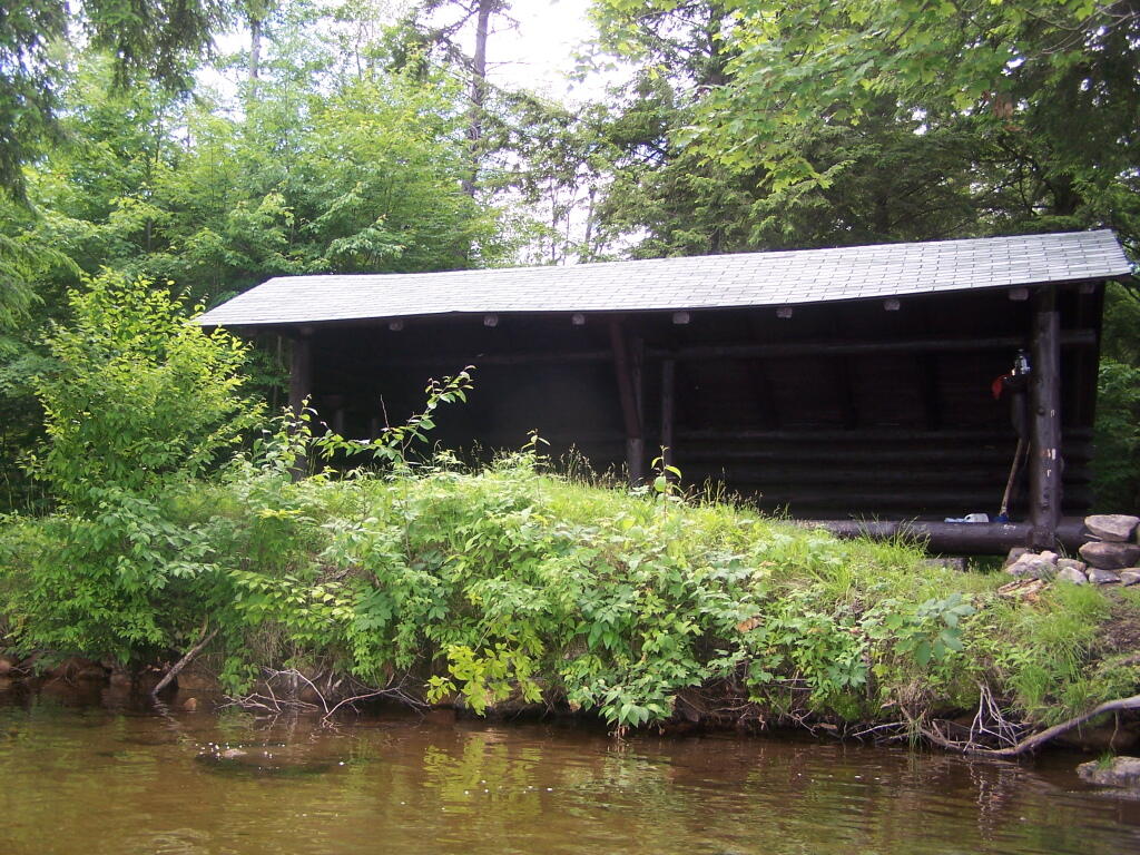
Lean-To from Lake

Remsen Falls Trail

Intersection of Woodhull Mountain Trail and Remsen Falls Trail

Wilcox Lake

Campsite 1 at Remsen Falls

East on Middle branch of Moose River

Above Remsen Falls

Campsite 2 at Remsen Falls

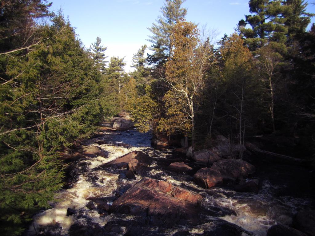
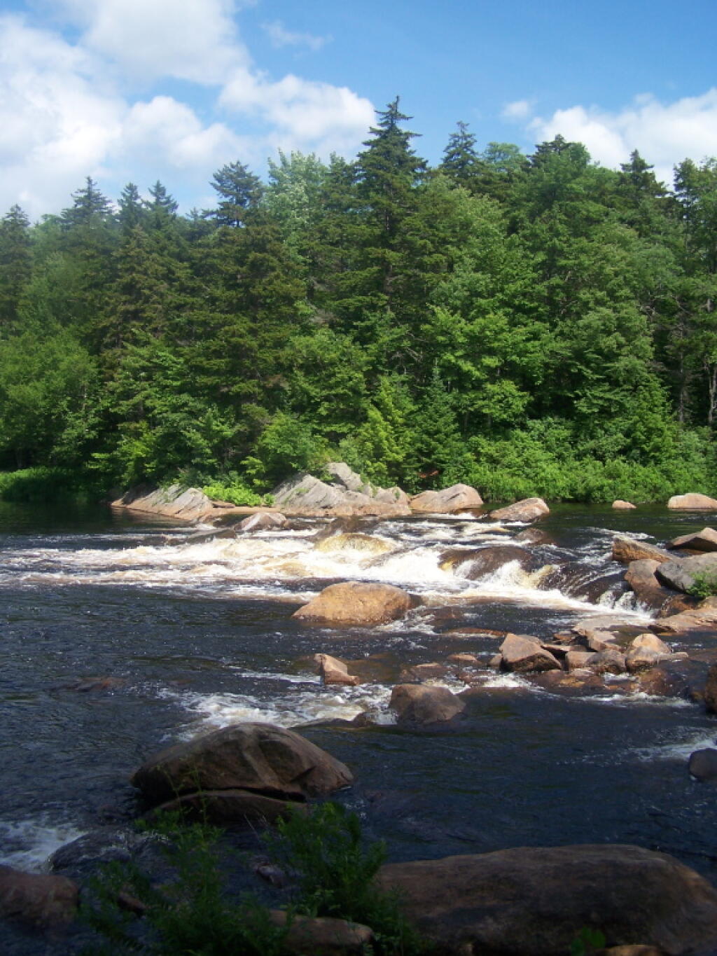
Remsen Falls

The Falls

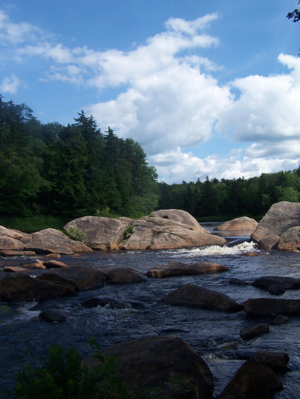
Falls

Along Moose River

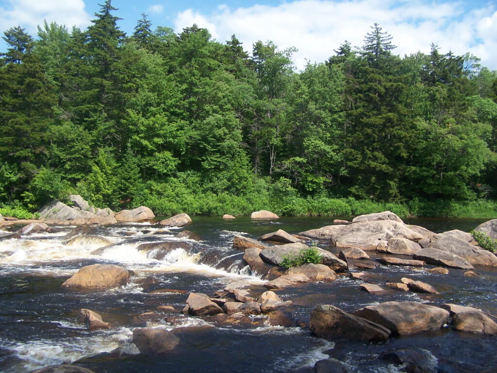
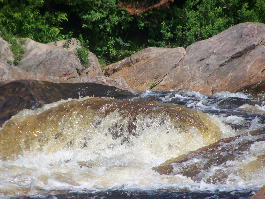
Whitewater at Falls

Water

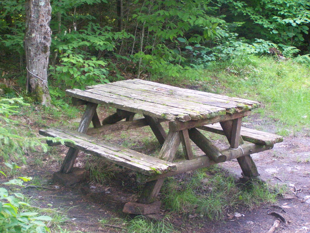
Decent Picnic Table at Campsite 2

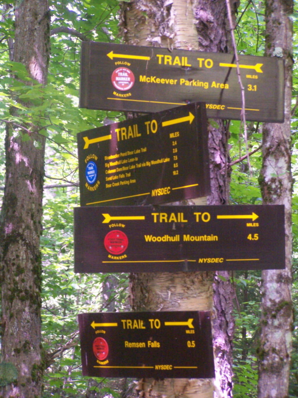
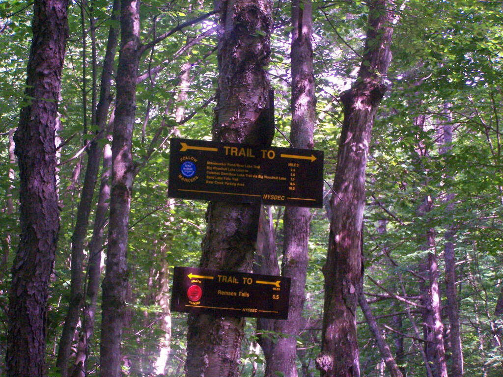
Remsen Falls Signs

Later in Evening On Lake

Island on the Lake

Behind the Island

Trees on Island

Exploring Back of Island

Clouds in Evening

Clouds in Evening

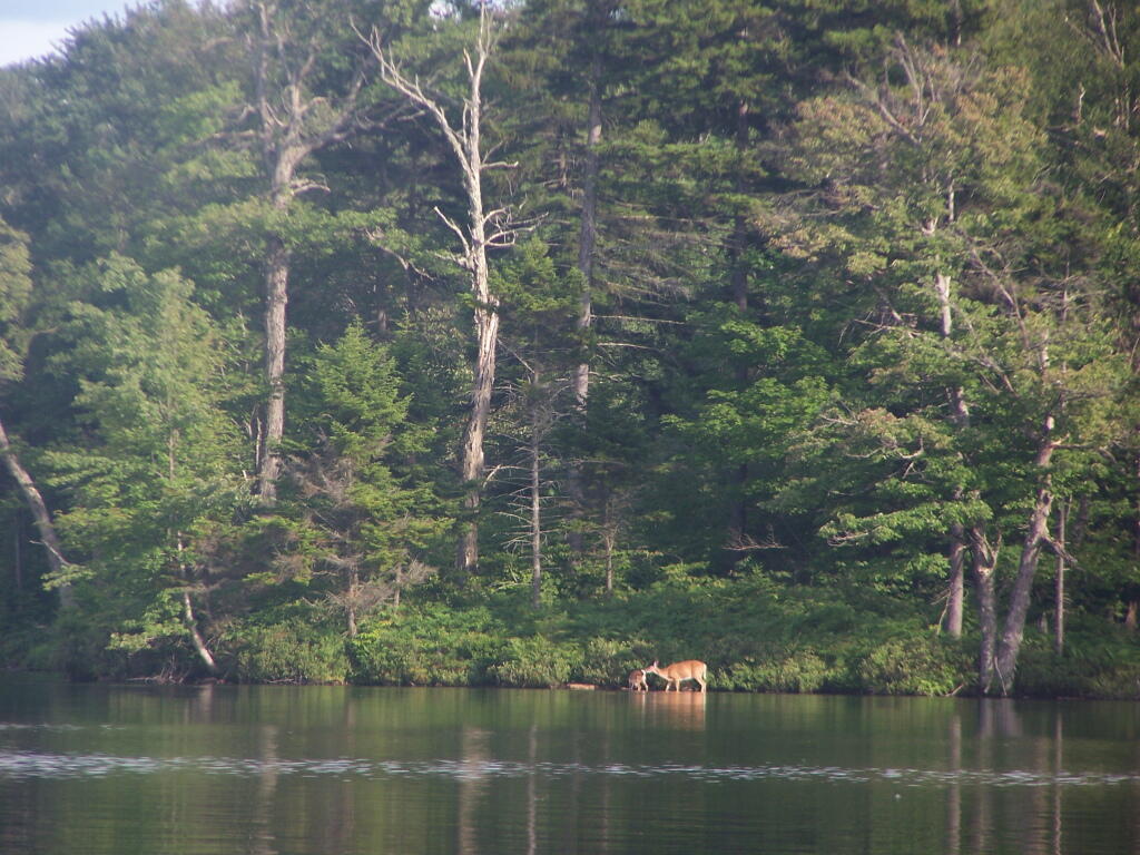
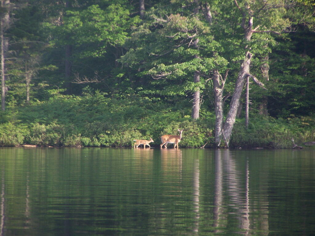
Doe and Fawn on Lake

Keeping an Eye on Me

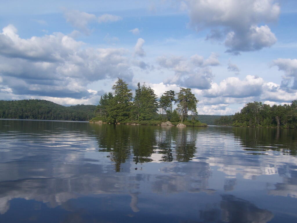
Another Island

Reflections