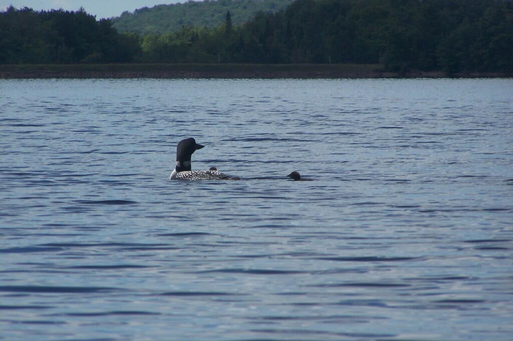
Checking on the Chicks Andy | July 15, 2026 Monday July 9, 2012 — North Lake Reservoir — North Lake Reservior 🗺
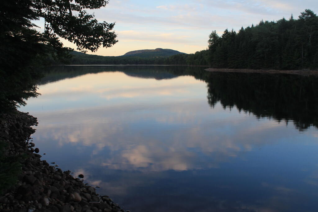
Ice Cave Mountain as It Gets Darker Andy | July 13, 2026 Sunday July 8, 2012 — North Lake Reservoir — North Lake Reservior 🗺
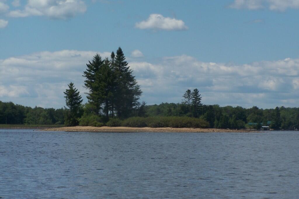
Looking Back Andy | July 13, 2026 Monday July 9, 2012 — North Lake Reservoir — North Lake Reservior 🗺
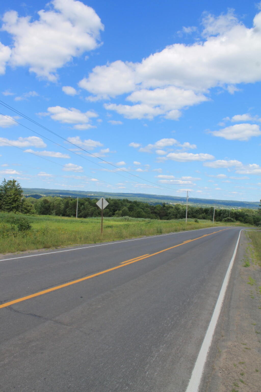
Wind Turbines on Dairy Hill Andy | July 9, 2026 Near Newport and Little Falls Monday July 9, 2012 — North Lake Reservoir — North Lake Reservior 🗺