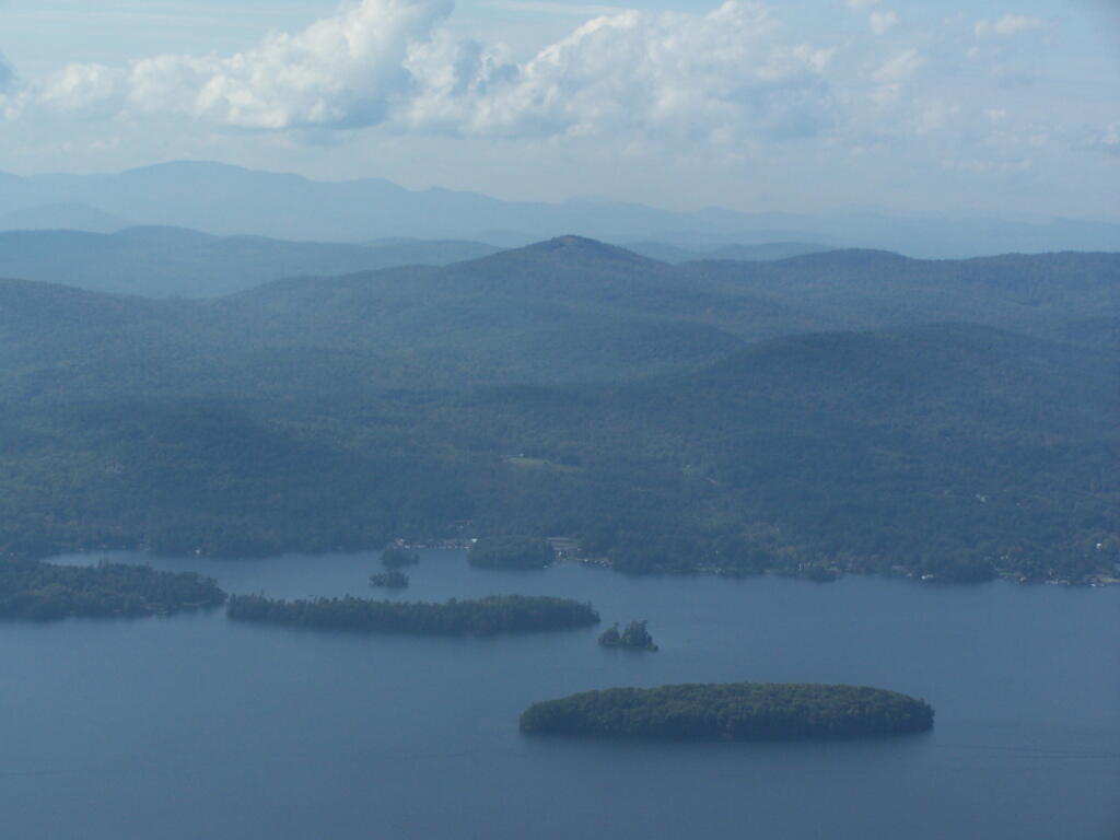
Crane Mountain in Hazy Background 🖼️
Download a JPEG Image of the Crane Mountain in Hazy Background.
Crane Mountain in Hazy Background ...
Taken on Wednesday September 21, 2011 at Buck Mountain.
More about Buck Mountain...
You'll only be going up 1,985 feet in this 4 hour climb from Pilot to the top of Buck Mountain at 2,448 feet. The summit is very rocky with great views all around. Over the lake on a clear day you will see the High Peaks towering to the north.


