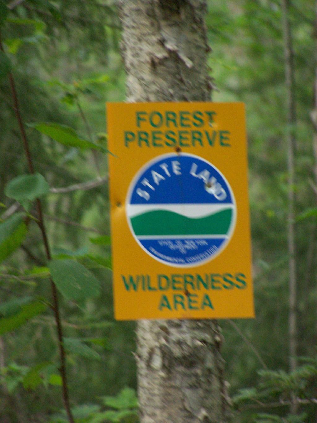
From the Eminence State Forest Unit Management Plan…
Early settlers were subsistent farmers, relying on the land for the majority of their needs. Evidence of the difficulties associated with clearing the fields can still be seen. The ubiquitous stone walls were built from stones laboriously cleared from fields to make them tillable. Dairy farming was an important activity for the early farmers, with excess milk being shipped to cities in the form of butter. Early crops no longer grown in this area included wheat, tobacco and hops.In 1875, Schoharie County was the fourth largest producer of hops in the State. Hops were said to exhaust soil rapidly and by the late 1800’s, hop production was in rapid decline.

Forests not cleared for farmland were used for many purposes. Potash and charcoal production were two early farm industries that made use of hardwood forests. Potash was used locally and also shipped to Europe. Charcoal was used in blacksmith shops, tin shops and iron foundries located in every town.
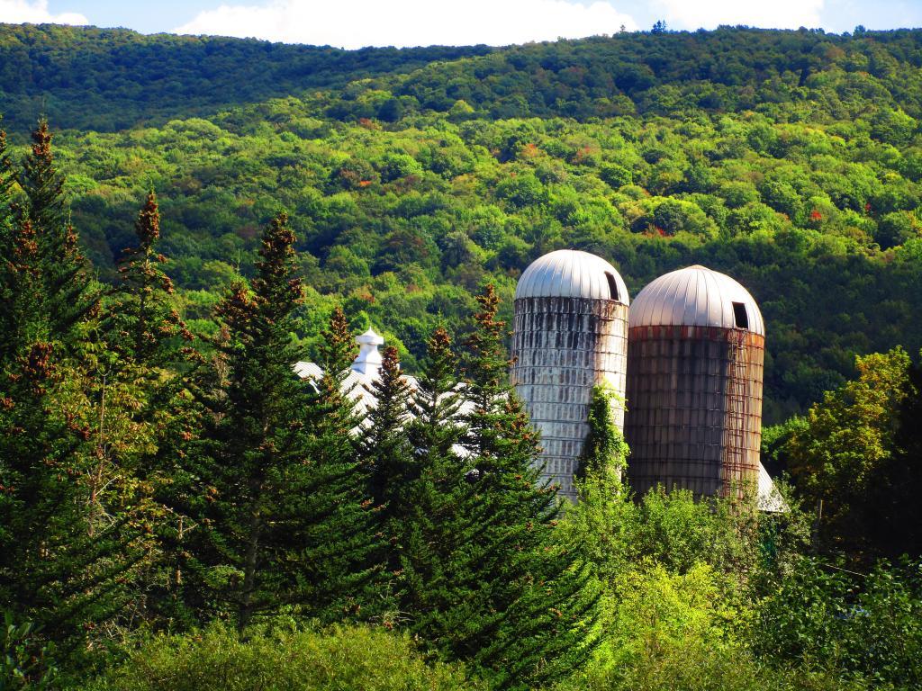
Hemlock was cut for its bark. Tannin extracted from the bark was used in the leather tanning industry. In 1840, there were l4 tanneries in the county. Large tanneries in Gilboa were obtaining bark from the area of the Eminence Management Unit. In addition to its use in the local tanneries, large quantities of tannin were shipped to Europe.
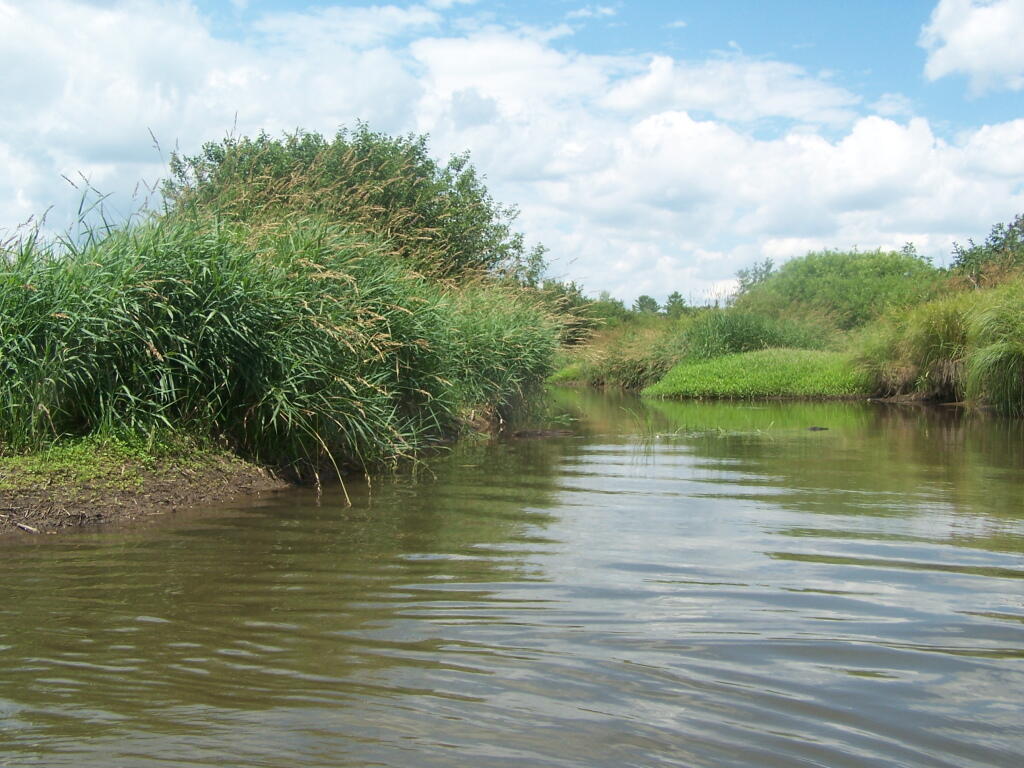
Other wood based industries included sawmills, shingle mills, cooper shops, wood tool factories and a paper mill. There were mills of various types on Betty Brook, West Kill, Panther Creek, Doney Hollow Creek, Mill Creek, and their tributaries. Portions of these streams are located on the Eminence Management Unit. Early settlers, up to the late l800’s, could not own the land they worked.
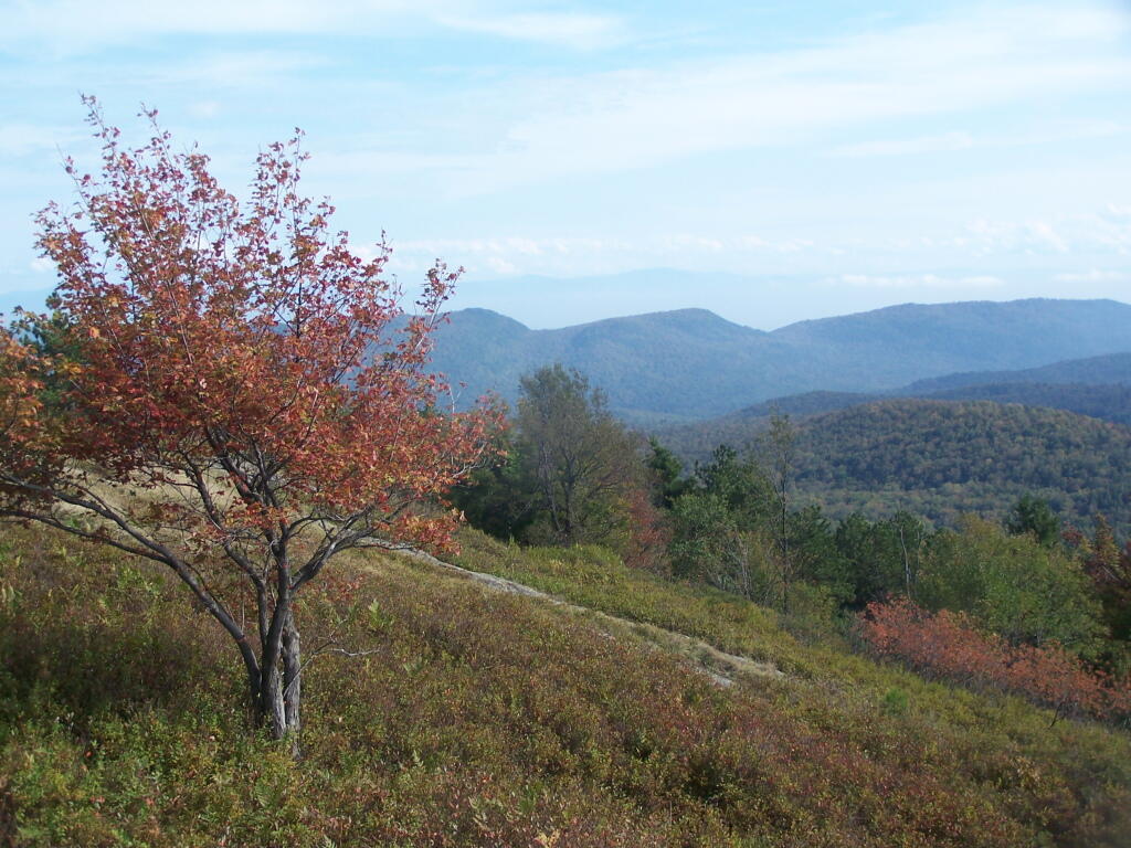
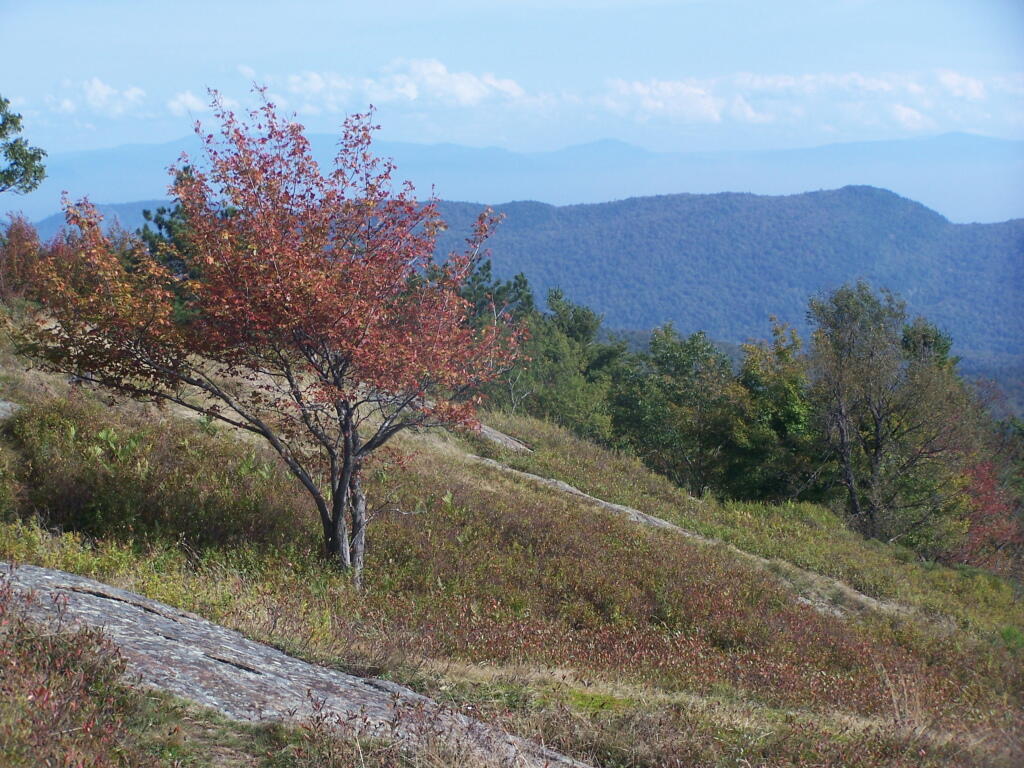
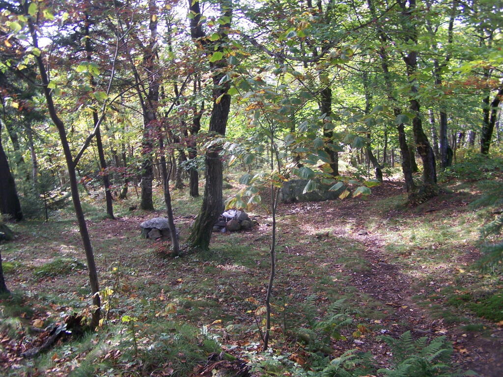
This “Patroon” system probably resulted in heavy cutting of the forests because the renters had little interest in the future of their lands. With the widespread cutting taking place, probably every acre of the present day Eminence Management Unit had been cut by the late 1800’s.
Fish and wildlife populations were also decimated during this period. The wild turkey, beaver,black bear, wolf, eagle, and white-tail deer were all extirpated from Schoharie County in the 19th and early 20th century. Stream habitat for native trout and other fish was also damaged by pollution from industry and agriculture. Fish and game laws which established seasons and size limits were non-existent for most of the 19th century.
From the very beginning, these were only marginal farms. By the mid 1800’s, the poor soils of some of these hill top farms had been exhausted, and farms were being abandoned. By l930, large tracts of farmland had been abandoned.In 1931, under the State Reforestation Law, the State began acquisition of some of these abandoned farmlands. Most of these early purchases were for about $4.00 per acre and by l940, land acquisition in the Eminence Management Unit essentially ended.
In the Spring of l93l, State crews began planting tree seedlings on the open land. A Civilian Conservation Corps camp was established in 1934 at Boucks Falls and the CCC’s joined State Forest crews planting trees. To date, over 6 million trees have been planted on the Eminence Management Unit. Other early projects included timber stand improvement, stream improvement and protection,construction of truck roads, seed collection for the State tree nursery, forest insect and disease control projects and construction of fencing between State and private lands.
Fire Hazard Reduction (FHR) was another project. FHR included construction of water holes, clearing roadsides of slash, building fire breaks around newly established plantations and slash reduction in heavily cut over natural stands.When the State acquired these lands, the previous owners usually reserved cutting rights. They had up to two years to cut any trees down to a six inch stump diameter. As a result of this logging, and other cutting that took place in the decade before the State acquired the land, there was little timber of any value present. Broken and deformed trees were all that was left in the majority of the forested areas.
There were few sales of forest products until the mid 1950’s because of the poor condition of natural forests and the small size of the planted trees. Significant sales did not begin until the 1970’s. To date, about 2 1/2 million board feet of saw timber, 22,000 cords of firewood and 67,000 cords of pulpwood have been sold for a total revenue to the State of over one million dollars. About two-thirds of this revenue came from the plantations which comprise about one-third of the Eminence Management Unit. In the mid 1980’s, harvesting and replanting of mature red pine stands was begun.
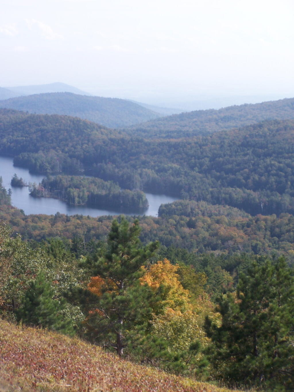
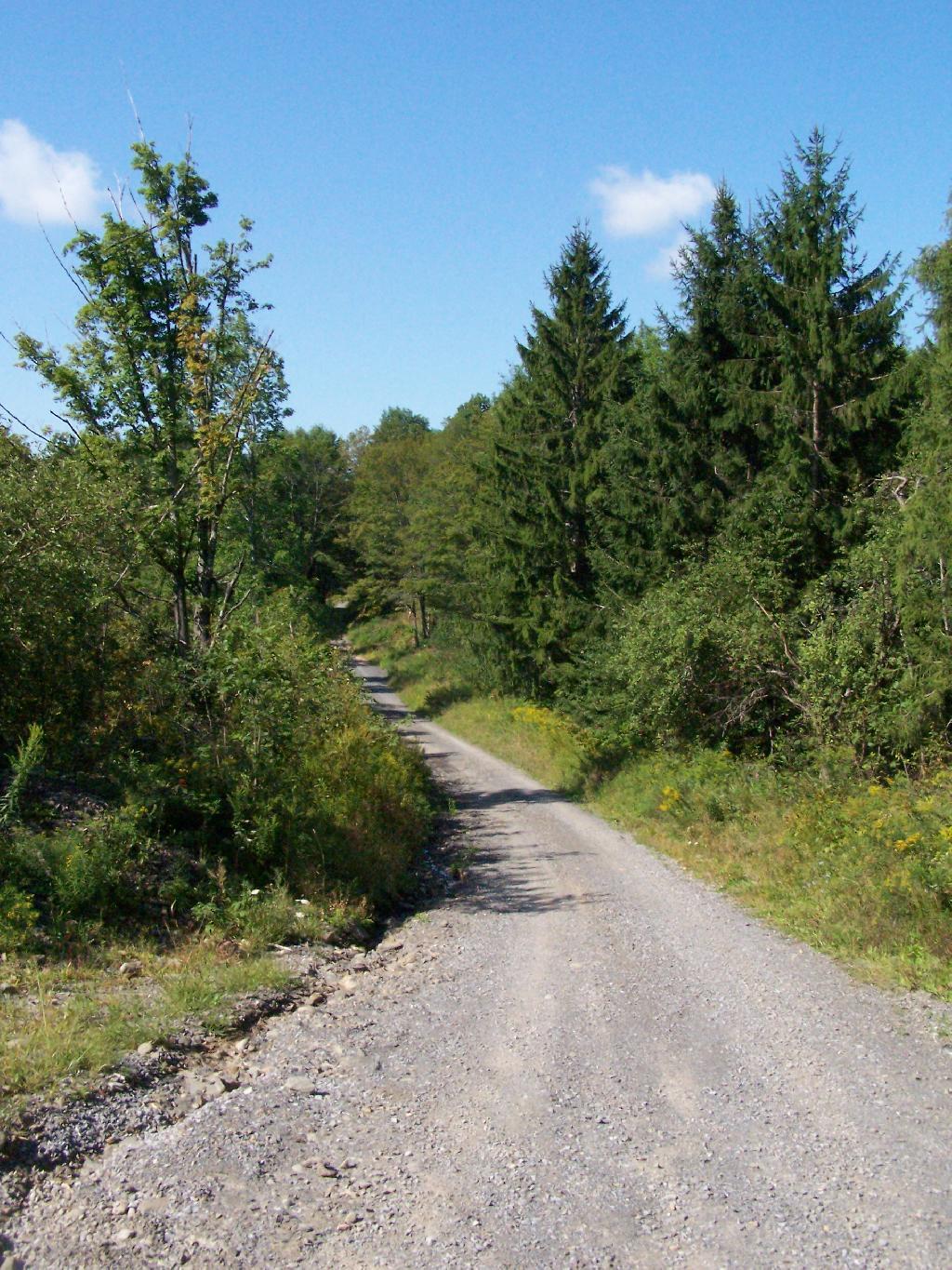
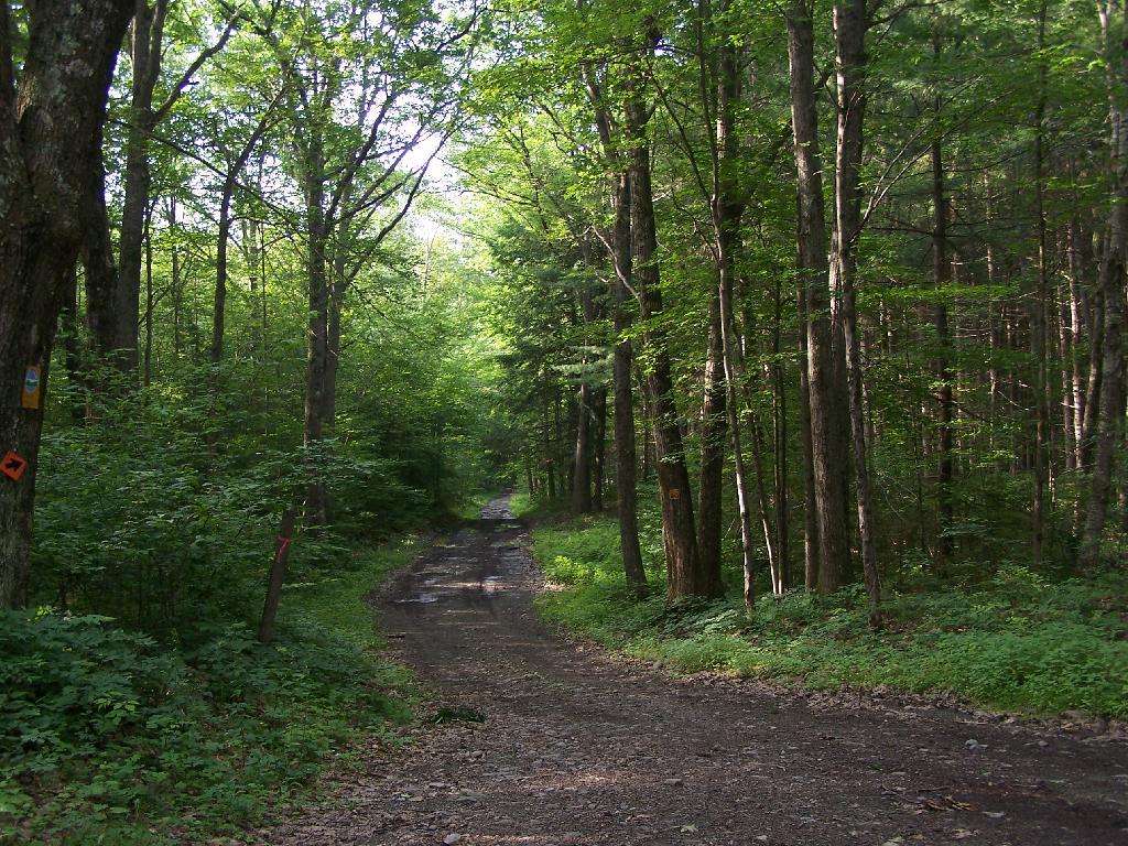
The Department of Correction Youth Camp was constructed around 1960 on State lands in the Town of Fulton near Summit. This recently became the Summit Shock Incarceration Camp. Projects accomplished by inmates on State Forests include forest road maintenance, wildlife habitat improvement, stream improvement, recreational trail construction and maintenance, timber stand improvement, tree planting and cone collection for the State tree nursery.Land acquisitions in the 1960’s through the 1980’s improved access to the Eminence Management Unit, enhanced recreational opportunities, provided additional protection for the streams on the unit and consolidated the unit with the acquisition of interior parcels. Six of the State Forests on this unit now contain over 12,000 acres of contiguous public ownership. This large block of public land will become even more valuable in the future, considering recent trends toward subdividing adjacent private lands.
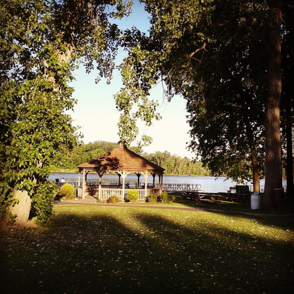
Many of the wildlife species that were once extirpated have returned to the area. Their recovery can be attributed to the restoration of natural habitat and the enforcement of hunting and fishing regulations. Now that fish and game are once again abundant, the state lands have become very popular areas for fishing and hunting pursuits.