Lost Valley
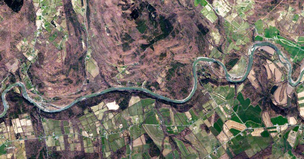
Most of the Schoharie Creek follows farm fields and rich soils. But there is a section near the Lost Valley State Forest that runs through a deep gorge cut through the hills between the Schoharie Valley and Mohawk Valley.
Most of the Schoharie Creek follows farm fields and rich soils. But there is a section near the Lost Valley State Forest that runs through a deep gorge cut through the hills between the Schoharie Valley and Mohawk Valley.
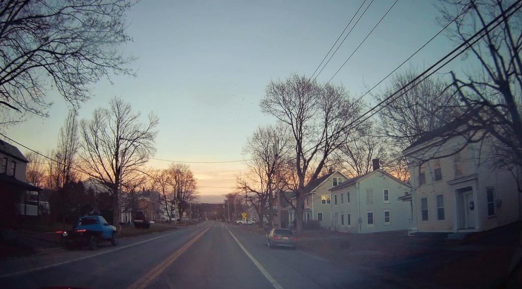
Heading through Esperance, a small village along the Schoharie Creek on the Great Western Turnpike.
Taken on Monday January 16, 2023 at Great Western Turnpike.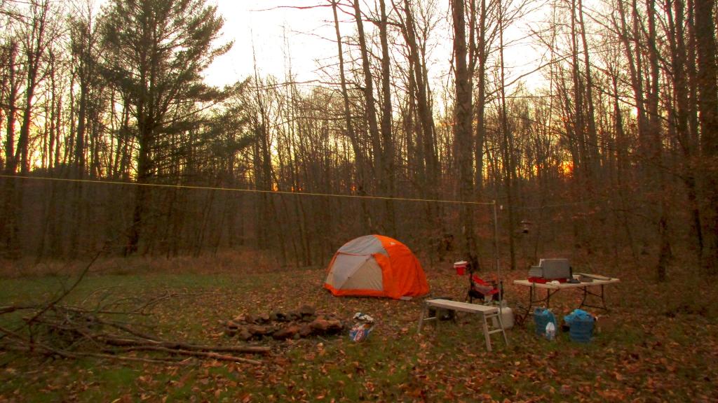
This campsite located west of Buzzard Swamp on south of Lamonaville on Loleta Grade Road, offers a real wilderness experience on a large open campsite -- but has excellent cell services for those wanting to work remotely or just watch a video on their phone. Definitely check outside the campsites on Lamonaville Road along the Gurgling Run, which in recent years have been improved with hardened gravel pads and other enhancements by the Forest Service.
Do note that section of Loleta Grade Road along the East Branch of Millstone Creek is permanently closed since Superstorm Sandy, so you will need to access this area from Lamonaville or Forest Road 287 from Belltown/Millstone.
Taken on Monday November 21, 2016 at Allegheny National Forest.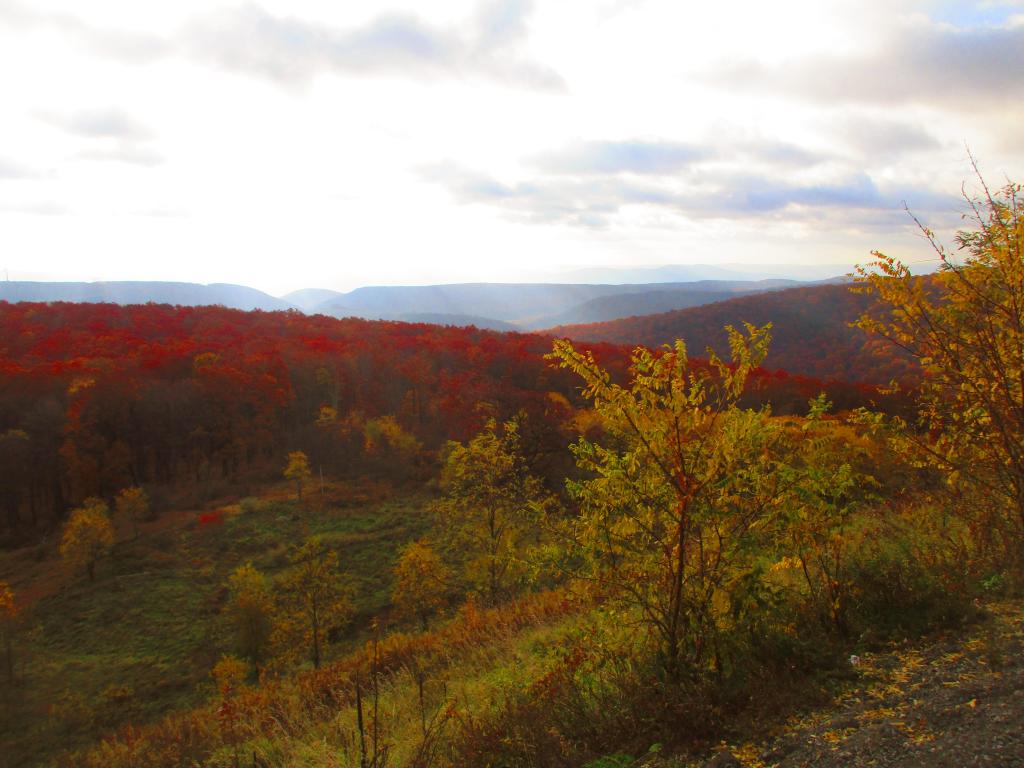
To the east from the Mount Storm Scenic Overlook, you can see Greenland Gap of New Creek Mountain and Knobly Mountain.
Greenland Gap gets name from as there is band of rich agricultural land below those ridges, and it is very green with farm fields once you drop out of the mountains.
Taken on Saturday October 28, 2023 at Mount Storm.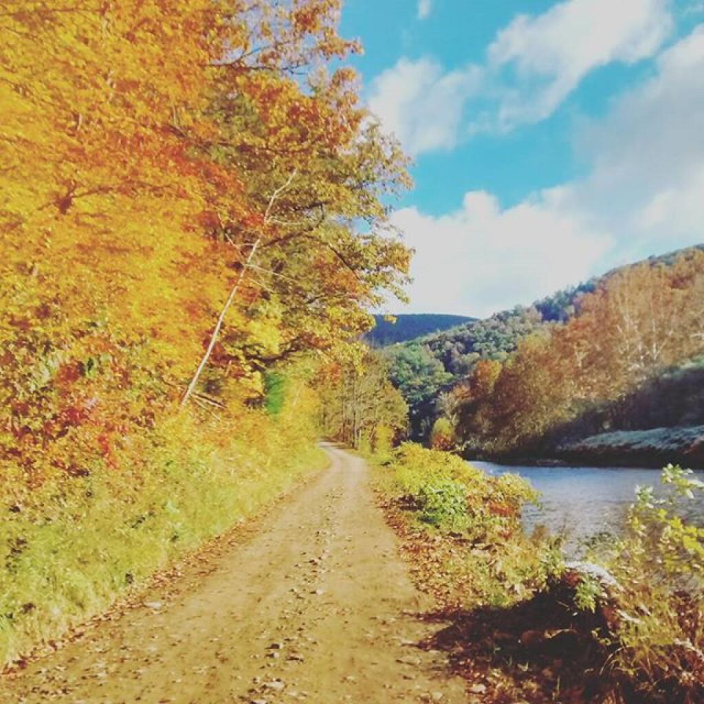
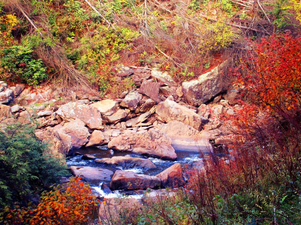
The flowing Blackwater Creek below Blackwater Falls in autumn in the Porte Canyon.
Taken on Saturday October 12, 2019 at Blackwater Falls State Park.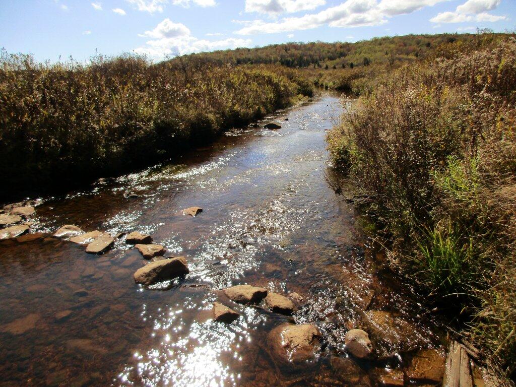
Down by the Red Creek, where much of the rain collects from storms hitting the Allegheny Front it can be very soggy, even when the rest of the Sods are super dry. Like all federal wilderness areas, bridges are not allowed, so streams are crossed by stones.
Taken on Friday October 11, 2019 at Dolly Sods Wilderness.