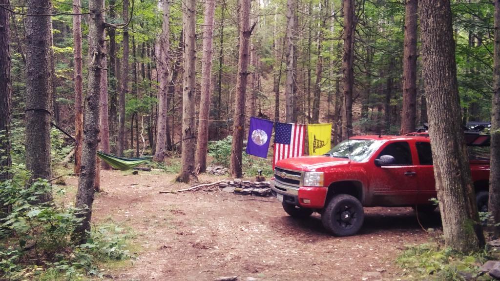
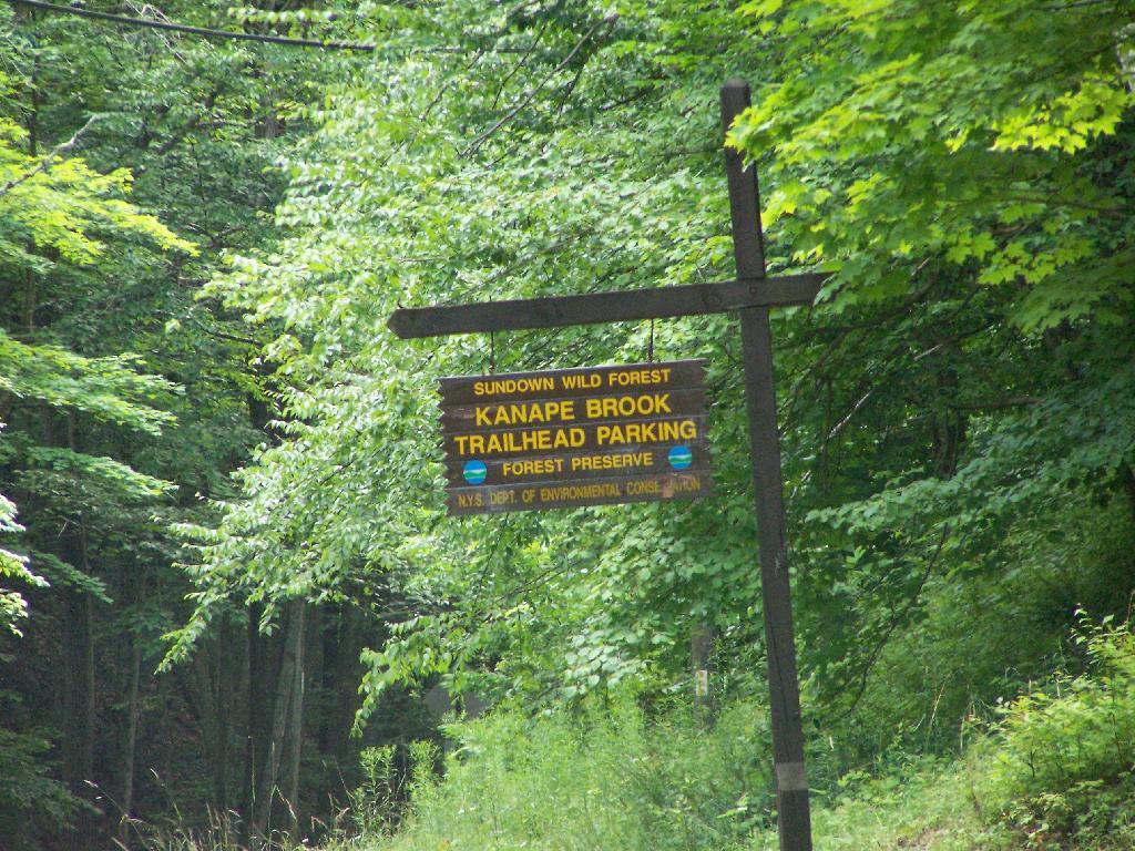
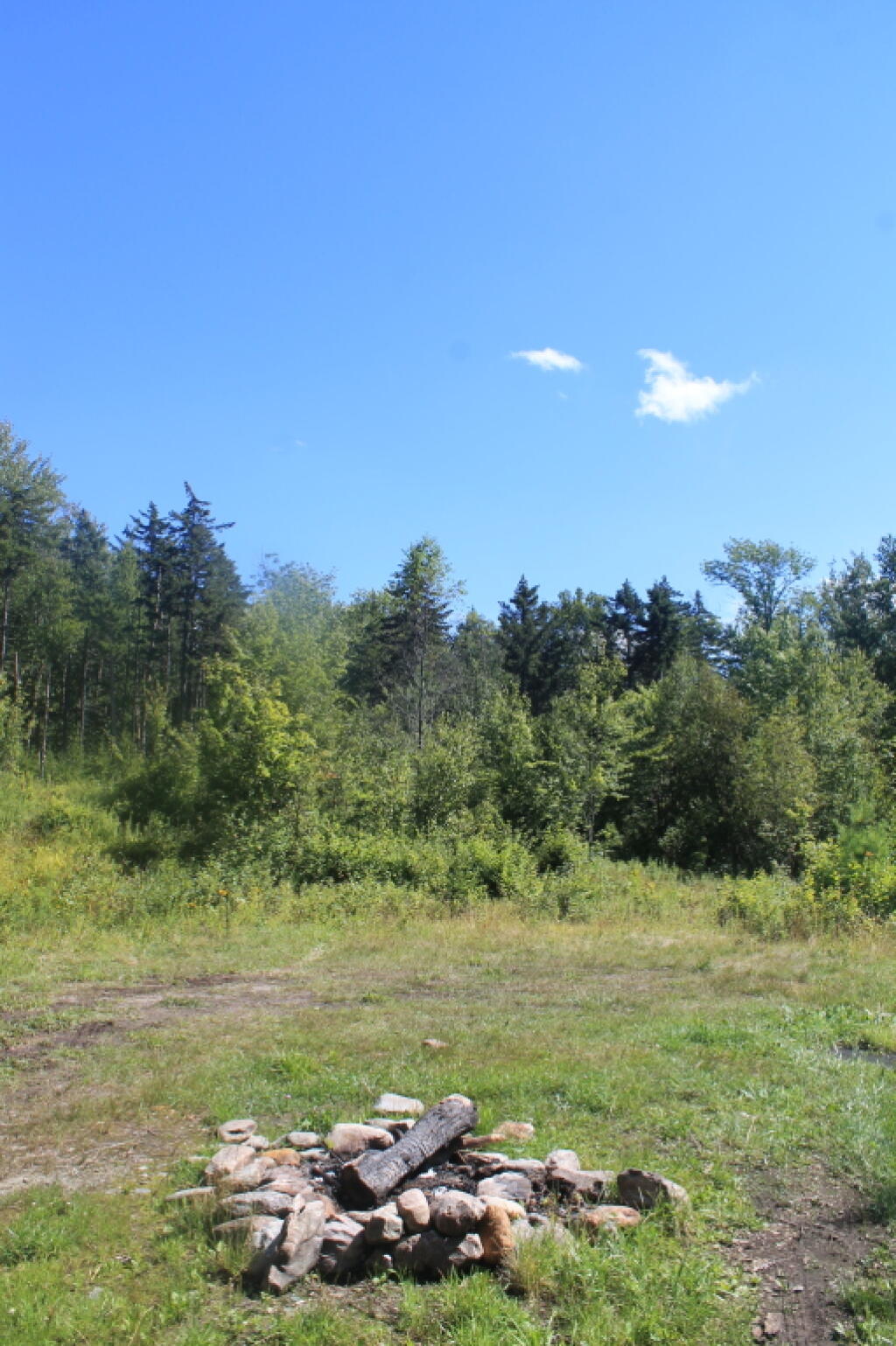
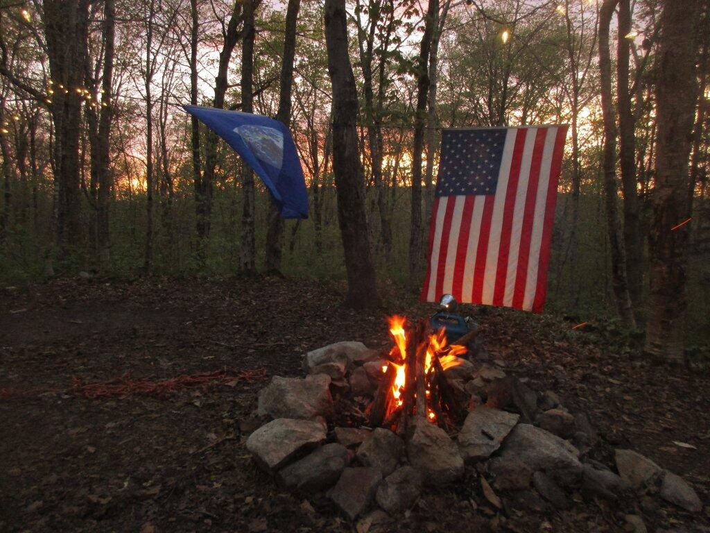
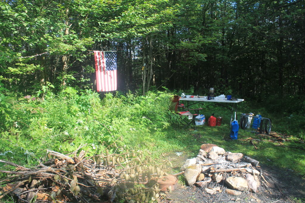
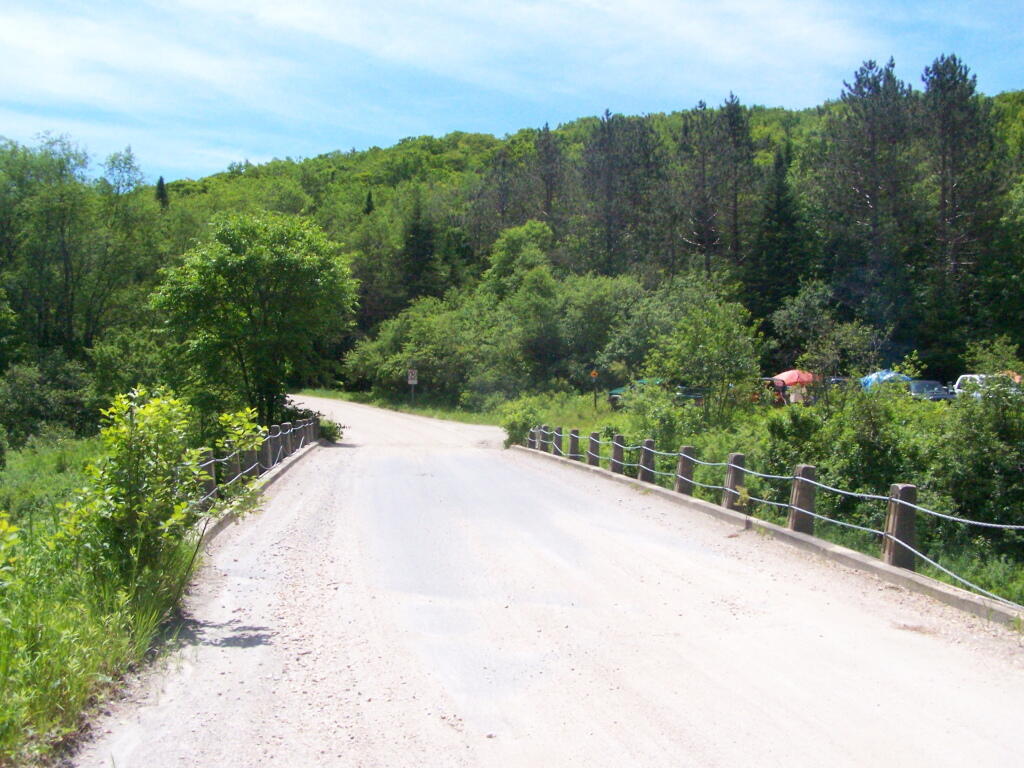
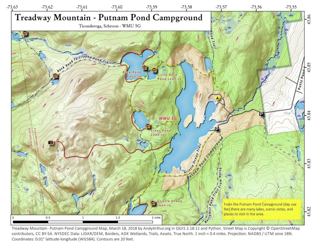
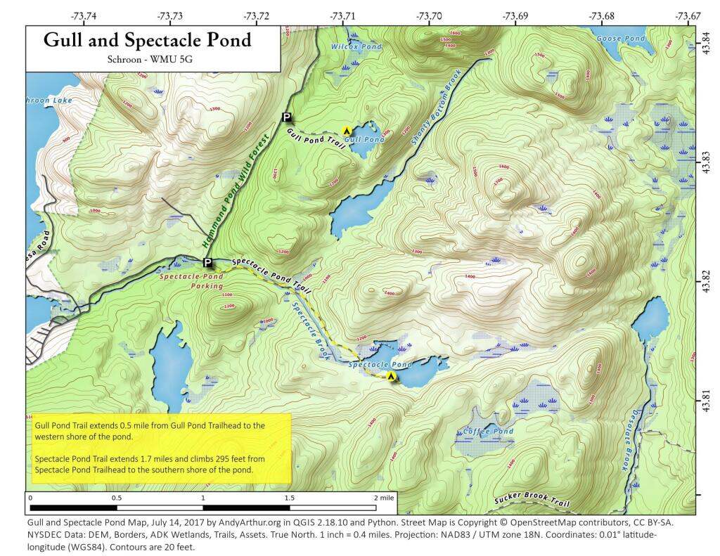
Exploring the lesser-traveled back roads and backcountry of Schoharie County reveals a host of hidden camping gems, perfect for those seeking a tranquil woods experience. This guide assists in pinpointing these sites, most of which are accessible by vehicle, suitable for tents or smaller camper units. While some roads can be rugged and seasonally accessible, a pre-trip exploration is recommended to ensure a smooth and enjoyable extended stay amidst the natural surroundings.
|
Facility |
Name |
Asset |
Lat |
Lng |
Street |
City |
|
Burnt-Rossman Hills State Forest |
Betty Brook Campsite |
Roadside Campsite |
42.5282069949748 |
-74.5141411051093 |
267 Miller Rd |
Summit |
|
Burnt-Rossman Hills State Forest |
Cole Hollow Stream Campsite |
Tent Campsite |
42.5173809830791 |
-74.4783362503377 |
739 Cole Hollow Rd |
West Fulton |
|
Burnt-Rossman Hills State Forest |
Duck Pond Campsite |
Roadside Campsite |
42.5101650935711 |
-74.483569788123 |
116 Duck Pond Rd |
West Fulton |
|
Burnt-Rossman Hills State Forest |
Eminence Lean-To |
Lean-To |
42.5433037239374 |
-74.488594594497 |
1478 Burnt Hill Rd |
West Fulton |
|
Burnt-Rossman Hills State Forest |
Panther Creek Campsite |
Tent Campsite |
42.5707997358218 |
-74.5222079737636 |
822 Sawyer Hollow Rd |
Richmondville |
|
Burnt-Rossman Hills State Forest |
Westkill Camp Site |
Tent Campsite |
42.4891982222204 |
-74.5093675822639 |
1223 Westkill Rd |
Jefferson |
|
Clapper Hollow State Forest |
Clapper Hollow Lean-To |
Lean-To |
42.5282012275126 |
-74.6420043552481 |
460 Meade Rd |
Jefferson |
|
Dutch Settlement State Forest |
Lean-To |
Lean-To |
42.6294376035285 |
-74.2675434310789 |
334 Treadlemire Rd |
Berne |
|
Huntersfield State Forest |
Lean-To |
Lean-To |
42.3550413795618 |
-74.3460668476724 |
371 Huntersfield Rd |
Prattsville |
|
Keyserkill State Forest |
Keyserkill Campsite |
Tent Campsite |
42.4892248356724 |
-74.3594496582389 |
578 Keyserkill Rd |
Middleburgh |
|
Keyserkill State Forest |
Pond Campsite |
Tent Campsite |
42.5026457018464 |
-74.3614634029007 |
198 Coons Den Rd |
Middleburgh |
|
Lutheranville State Forest |
Sisson Rd Campsite |
Roadside Campsite |
42.6110826168082 |
-74.6399766310532 |
833 County Route 353 |
Middleburgh |
|
Mallet Pond State Forest |
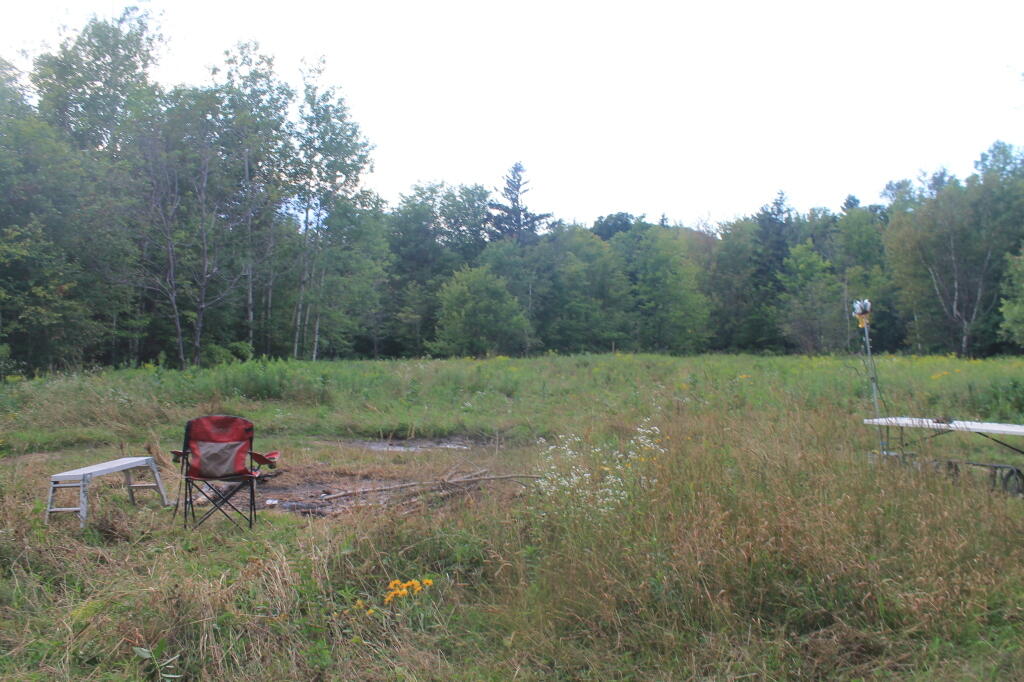
Mallet Pond Campsite (Undesignated) |
Tent Campsite |
42.5878422010516 |
-74.5223274563456 |
634 Rossman Fly Rd |
Richmondville |
|
Mallet Pond State Forest |
Rossman Pond Campsite (Undesignated) |
Roadside Campsite |
42.5941596281094 |
-74.5290358970195 |
634 Rossman Fly Rd |
Richmondville |
|
Rensselaerville State Forest |
Campsite 2 |
Roadside Campsite |
42.4994499144647 |
-74.1948355550861 |
856 Cheese Hill Rd |
Preston Hollow |
|
Rensselaerville State Forest |
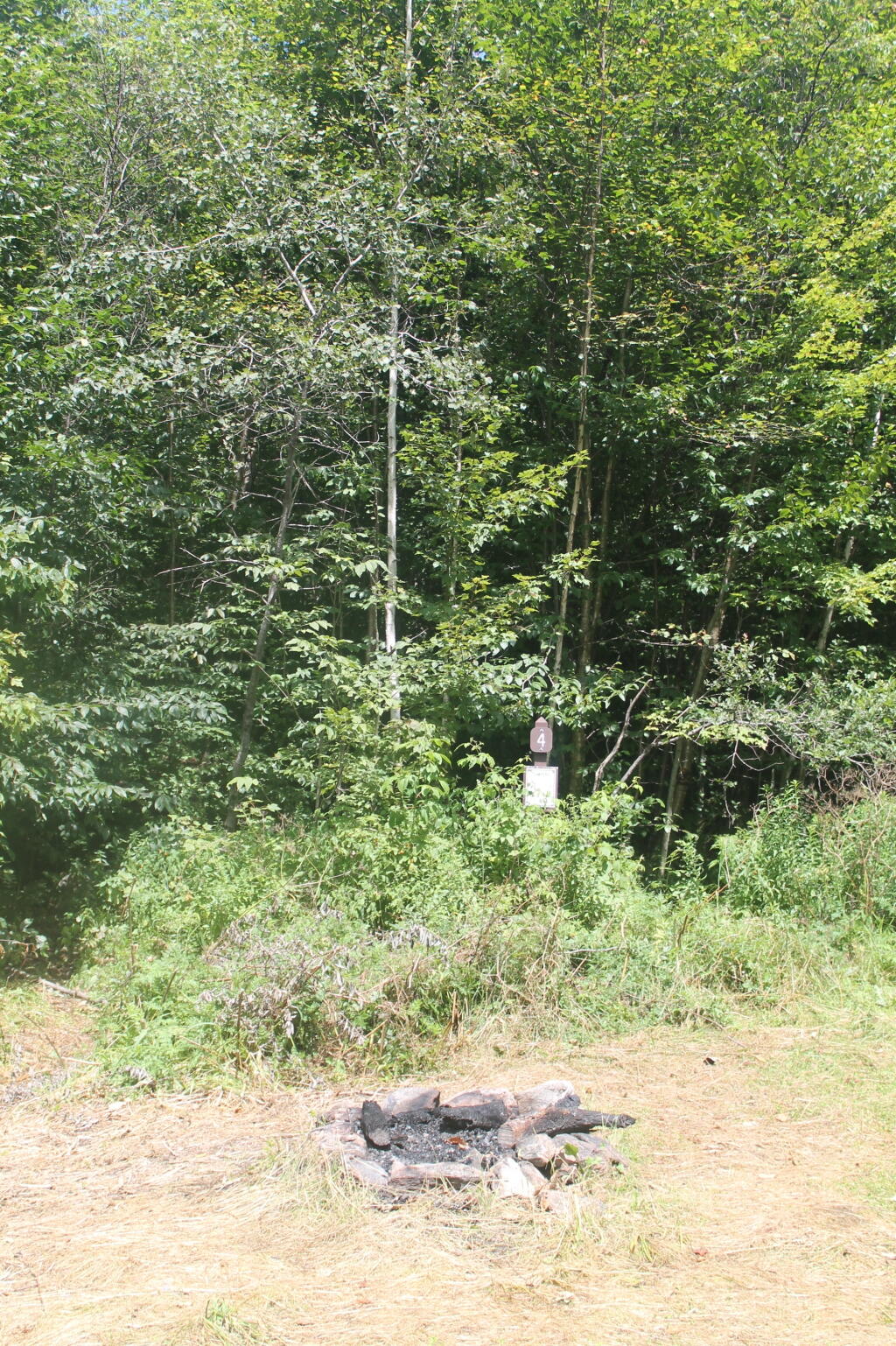
Campsite 4 |
Roadside Campsite |
42.501426797599 |
-74.2175233050623 |
833 County Route 353 |
Middleburgh |