Karner East 10 Foot Elevation
This map shows highly detailed contours for the East Barrens of the Albany Pine Bush.
Data Source: NYS GIS Program Office. NYS LIDAR Coverage. http://gis.ny.gov/elevation/lidar-coverage.htm
This map shows highly detailed contours for the East Barrens of the Albany Pine Bush.
Data Source: NYS GIS Program Office. NYS LIDAR Coverage. http://gis.ny.gov/elevation/lidar-coverage.htm
It looks like Ezra Price was constructed around 1967, while the Mount Hope Development row houses were built from 1964-1970. Probably a subsidized development to make up for losses to downtown's residential core when the Empire State Plaza was built. I'm interested and trying to dig more into details.
Some history about Ezra Price and his estate in Mount Hope during the 1830s: https://friendsofalbanyhistory.wordpress.com/2019/10/23/albanys-mount-hope-and-ezra-prentice/
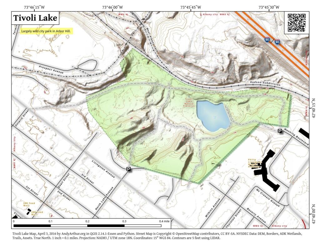
A high resolution, LiDAR contour map of Tivoli Lake Preserve. This shows the current land forms, including fill and cuts of the preserve in recent decades, not reflected on many other maps of this preserve.
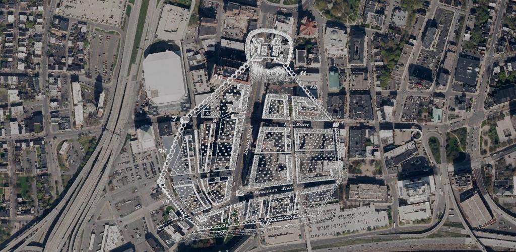
Here is a Map of Albany showing the stockade in 1695, overlaying the contemporary arerial photo of Albany. At the top of the hill, was Fort Frederick sitting atop State Street Hill (Capitol Hill) it replaced the earlier Fort Orange along the Hudson River, offering protection for Pearl Street and lands below it. John Wolcott told me that Pearl Street was likely a corruption of "Peril Street" due to the risk of being shot by invaders down from the top of the hill.
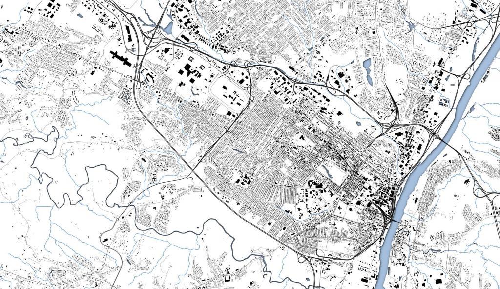
I sometimes like to call these maps Artery Art. The simple, clean layout doesn't provide much information but is appealing to the eye